
Southern Nevada Wilderness Areas

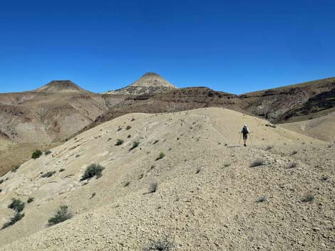 |
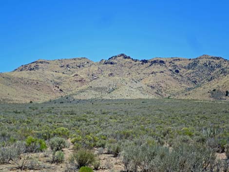
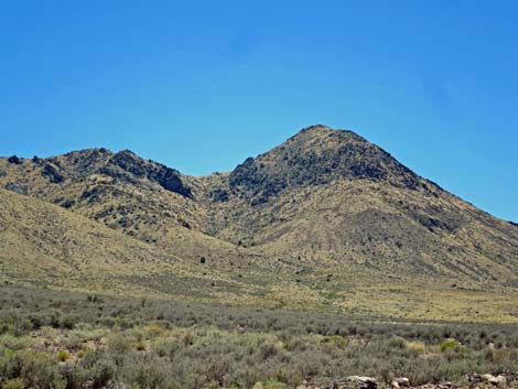
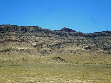
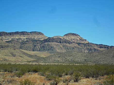
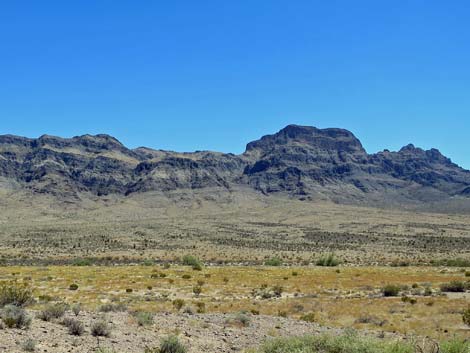
Overview Meadow Valley Range is a large (123,500 acres) wilderness area on the north edge of Clark County. Most of the wilderness area is located in Lincoln County. This area is wild and rugged, with towering ridges, high peak, deep canyons, and few cherry stem roads. The mountain range is so remote that only one peak is named, the volcanic Sunflower Peak (5,022 ft), and it isn't even the highest peak in the range (Peak 6,109 is the highest). All but the northern-most bit of the high-elevation Meadow Valley Range and a large bajada area on the east side of the range are inside this wilderness area. If you hike in wilderness areas, help protect them by learning about and reporting noxious and invasive weeds. |
 |
Location The Meadow Valley Range Wilderness Area is located east of Highway 93 and north of Highway 168, about 65 air-miles northeast of Las Vegas. The east side is bordered by Meadow Valley Wash. Link to map of the Meadow Valley Range Wilderness Area. Access Kane Springs Road provides access to the north side of the wilderness area, and Meadow Valley Road provides access to the southeast side. From these "main" roads, several minor roads, including Sunflower Road, lead up to the edge of the wilderness area. Hiking White Hills - a nice, 3-mile introduction to this wilderness area. |
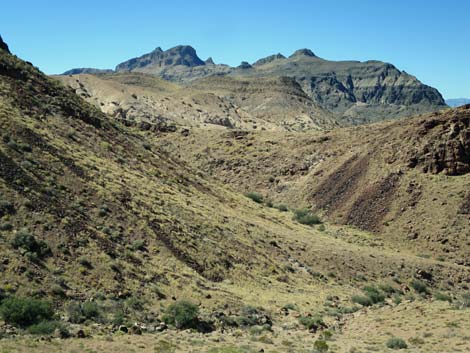 |
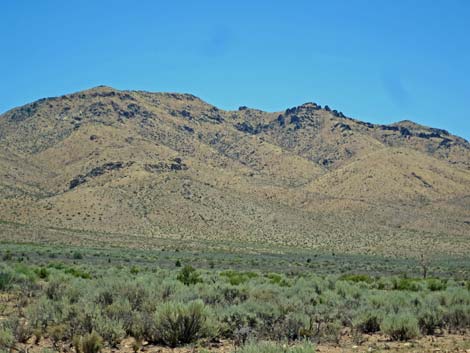
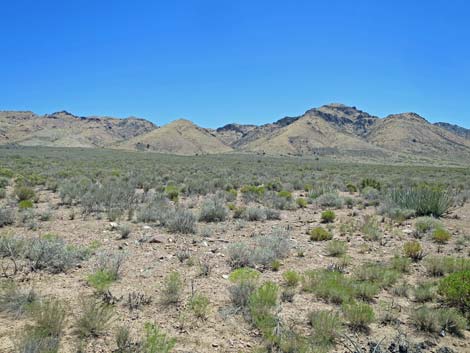
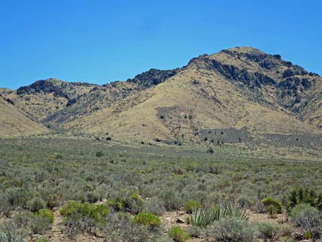
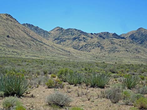
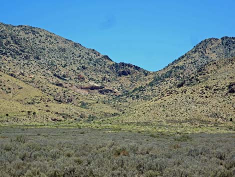
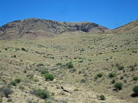
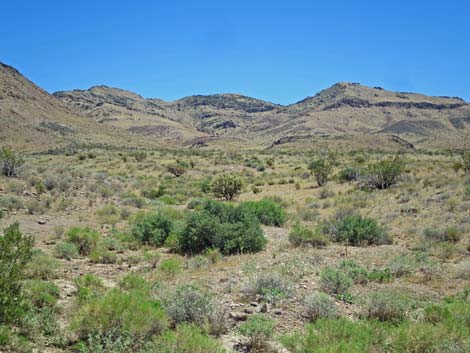
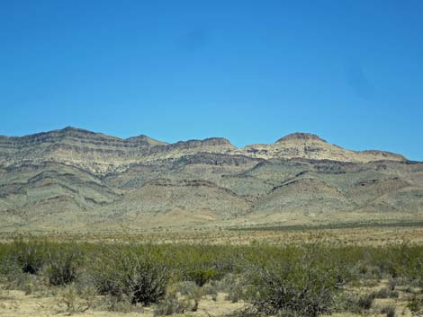
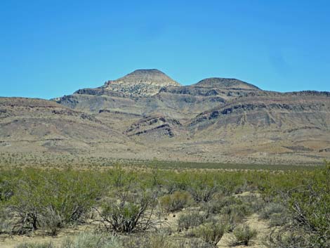
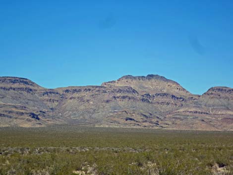
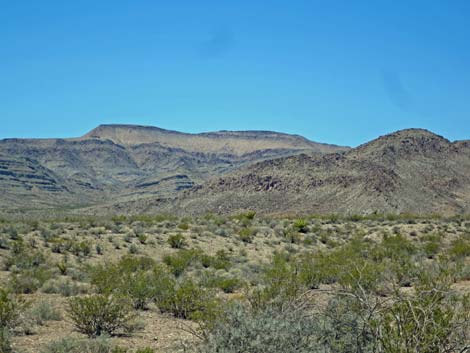
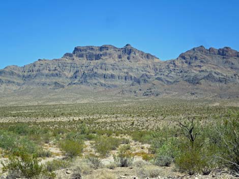
Boundaries The northwest side of the wilderness area is bordered by Kane Springs Valley; the boundary generally running along the top of the bajada at the base of the mountains, staying near the 3,200-3,600-ft contour line. The southern and northern boundaries follow ridges, washes, and dead reckoning across the desert. A contract surveyor's dream, the boundary makes more crazy leaps and bounds than three jackrabbits being chased by a pack of coyotes. The east boundary follows Meadow Valley Wash, but here too, the exact boundary makes little sense: base of the cliffs, top of the cliffs, and then just across the middle of the cliffs. Terrain The wilderness area includes the high ridgeline of the Meadow Valley Mountains and a large section of bajada sloping down towards Meadow Valley Wash. Elevations range from about 2,100 to 5,772 feet. |
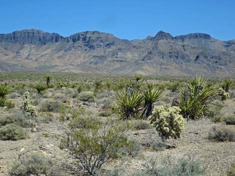 |
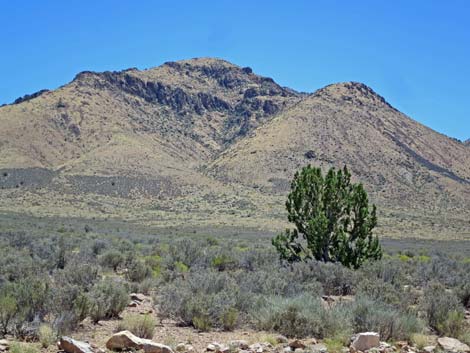
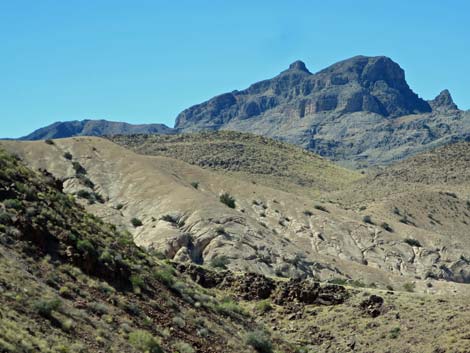
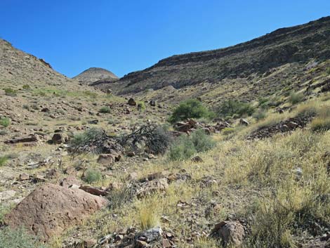
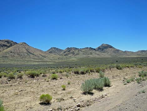
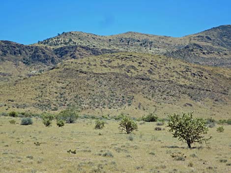
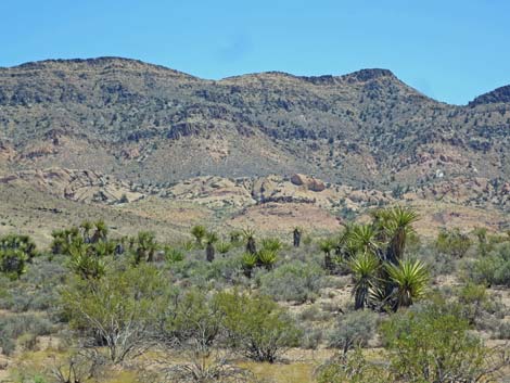
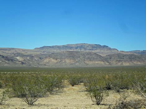
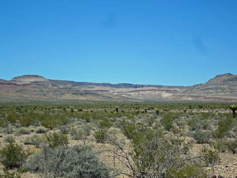
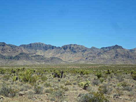
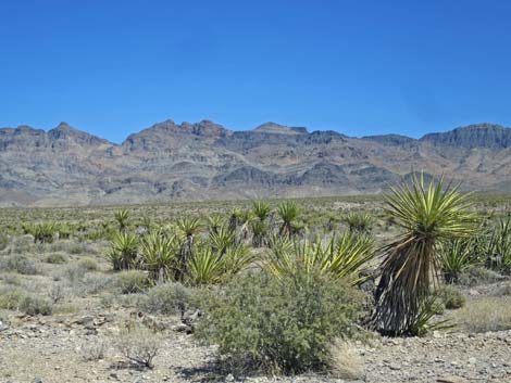
Habitat Type The habitat type over most of the wilderness area is typical of the Upper Sonoran (Mojave Desert Scrub) life zone, where species such as Creosote Bush, White Bursage, Mojave Yucca, and Barrel Cactus are common. At higher elevations, Blackbrush is also common, and higher elevations in the north end of the range support a pinyon-juniper woodland. In washes such as Hackberry Wash, Honey Mesquite and Catclaw Acacia are common. Northern and eastern portions of the wilderness area burned several years ago, and it will take a long time for the shrubs to come back. |
 |
Wildlife Bighorn sheep are common in range, and desert tortoise occur at lower elevations. Several species of carnivores (including coyote, kit fox, ringtail cats, and bobcat) occur in the canyons, where their dropping are unusually abundant. Small mammals include valley pocket gopher, kangaroo rats, and deer mice. Lizards in the area include side-blotched Lizards, banded geckos, and leopard lizards; snakes include sidewinders, speckled rattlesnakes, common kingsnakes, and long-nosed Snakes. Birds are common, especially during migration when a variety of species can be found in Pahranagat Wash. Golden Eagle, Great Horned Owl, Black-tailed Gnatcatchers, Say's Phoebe, White-crowned Sparrow, Gambel's Quail, Loggerhead Shrike, Rock Wren, Ruby-crowned Kinglet, Common Ravens, and even Mountain Chickadee use the wilderness area. |
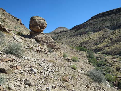 |
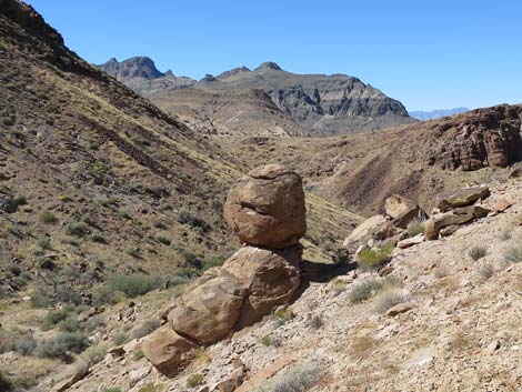
Archaeology Petroglyphs, pictographs, and other evidence of prehistoric use such as agave roasting pits, shelter caves, rock alignments, lithic scatters, stone scrapers, and broken arrowheads are common. Geology The mountains are predominantly limestone, which formed in shallow seas, and various fossils can be found in the rocks. In addition to Paleozoic carbonates (limestone and dolomite), small outcrops of Precambrian igneous and metamorphic are exposed near Hackberry Spring, and volcanic tuffs are found in a few areas, including Sunflower Peak. |
 |
 |
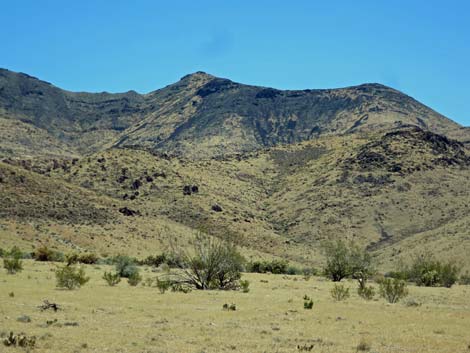
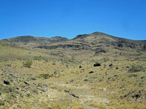
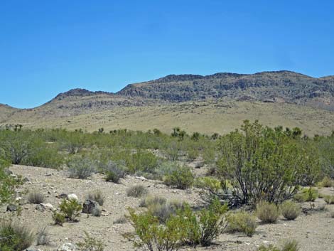
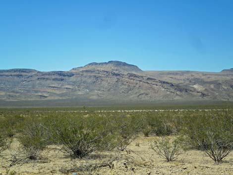
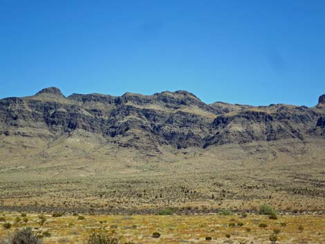
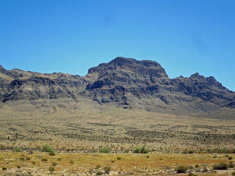
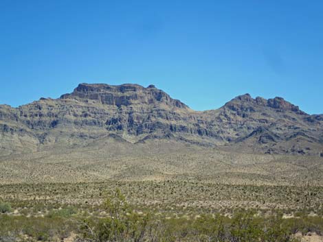
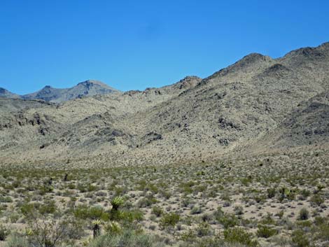
Photos taken while driving west on Kane Springs Road (views generally south and southwest)
 |
 |
 |
 |
 |
 |
 |
 |
 |
 |
 |
 |
 |
 |
 |
 |
 |
 |
 |
 |
 |
 |
 |
 |
 |
 |
 |
 |
 |
 |
 |
 |
Note: All distances, elevations, and other facts are approximate.
![]() ; Last updated 240331
; Last updated 240331
| Wilderness Areas | Hiking | Guide Services | Glossary | Copyright, Conditions, Disclaimer | Home |