Backroads Around Las Vegas
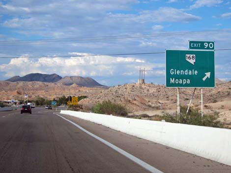 Interstate 15, exiting onto Highway 168 (view NE) |
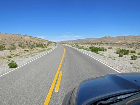
Overview Nevada Highway 168 isn't really a "backroad," but it provides access to some of the places and backroads we love. The highway connects Interstate 15 at Glendale (southeast end) with U.S. Highway 93 (northwest end), a distance of 23.8 miles. Gas, food, lodging, and limited supplies are available in Glendale at the east end of the road. Departing Glendale, the highway runs northwest through the Upper Moapa Valley, passing the town of Moapa (Moapa River Indian Reservation) and running through the Warm Springs area, before winding up Muddy Wash to cross the northern edge of the Arrow Canyon Range. The road descends into Pahranagat Wash, crosses Starvation Flats (current location of Coyote Springs Gold Course), and climbs the bajada to intersect Highway 93 at a T-intersection. Link to Road Map. |
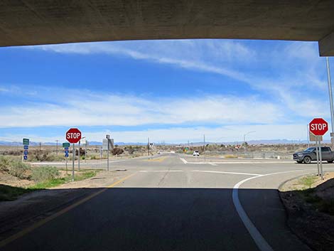 Looping back under I-15 (view NW) |
Highway 168 provides access to hikes in the Arrow Canyon Range, Moapa Valley National Wildlife Range, Warm Springs Natural Area, and the Arrow Canyon Wilderness Area, plus access to quiet and motorized recreation along the way. Excellent birding opportunities can be found in the Moapa Valley NWR and Warm Springs. Watch Out Other than the standard warnings about being in the desert, ...this road is pretty safe, but be sure that your vehicle is in good working condition, carry plenty of water, and pack a few snacks. Always drive carefully; even though the road is maintained, there are occasional hazards such as errant rocks and holes in the roadway. While out, please respect the land and the other people out there, and try to Leave No Trace of your passage. This road goes into remote areas, so be sure to bring what you need of the 10 Essentials. Cell phones don't work in some areas. |
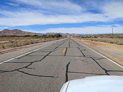
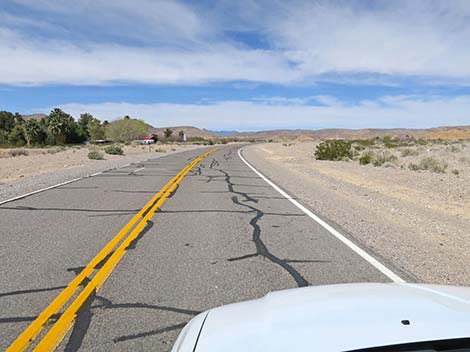
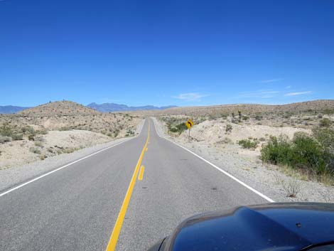
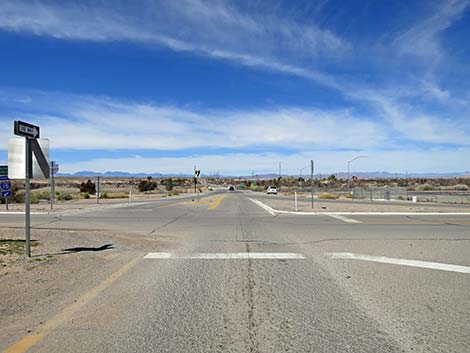 Start of Highway 168 (view NW) |
Getting to the Road From Las Vegas, drive north on Interstate-15 for 48 miles to Exit 90. Watch for signs to Moapa and Glendale. Exit right into a very tight cloverleaf loop, then continue straight westward at the stop sign. The Road Highway 169 departs the interstate area (Table 1, Site 0879) passing several small businesses in Glendale, then passes the school and residential areas before heading out into the desert. The road crosses over the old railroad tracks that once fed coal to the closed power plant. Shortly, the highway passes Reservation Road on the left. This road leads to the town where the Moapa people live, but the reservation is the much larger area to the southwest. |
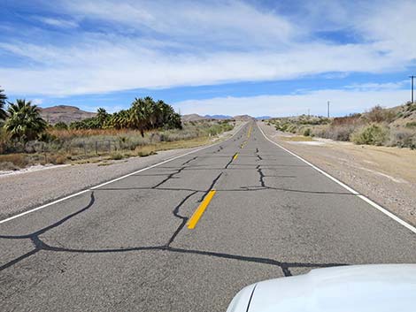
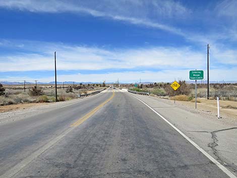 Highway 168 entering Moapa Town Limits (view NW) |
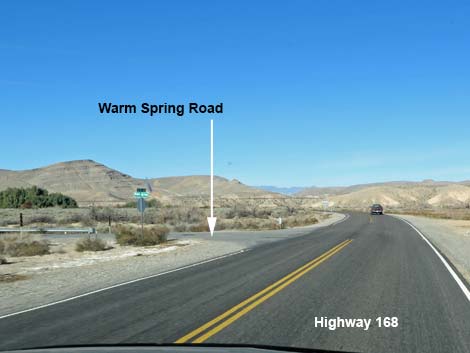
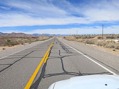
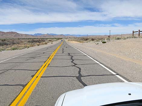
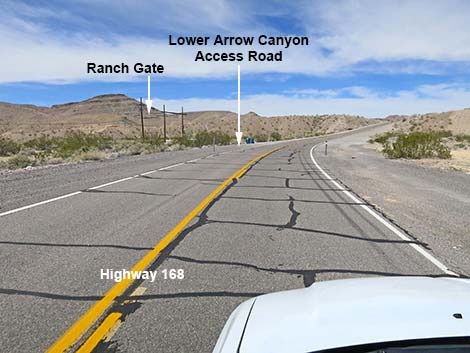
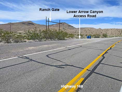
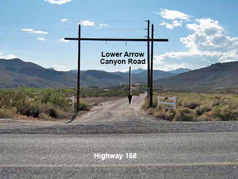
The highway continues westward, and at 7.1 miles out, passes an intersection with Warm Springs Road (Site 0898), to the left. Warm Springs Road leads to Moapa Valley National Wildlife Range and Warm Springs Natural Area, two great riparian areas for birding and seeing rare fish. Continuing on Highway 168, the road passes through Warm Springs Natural Area (no public access along here) and at 10.2 miles out, passes the other end of Warm Spring Road (Site 1169). At 10.7 miles out, the highway passes a funny little loop spur of Warm Springs Road (Site 0878). At 10.9 miles out, the highway bends right into Muddy Wash and passes Lower Arrow Canyon Road (Site 1170). This rough dirt road leads to hikes in the lower end of Arrow Canyon in the Arrow Canyon Wilderness Area. |
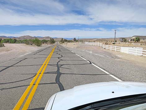
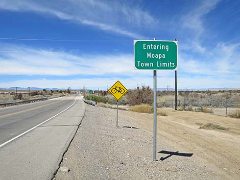 Sign: Moapa Town Limits (view NW) |
From Lower Arrow Canyon Road, the highway climbs through Muddy Wash as it begins to climb over the mountains. By 15.8 miles out, the road is crossing the mountains and passes Dead Man Canyon Road (Site 1025), on the left. This rough dirt road leads to hikes in the upper end of Arrow Canyon and provides access to the two section of the Arrow Canyon Wilderness Area. Continuing westward, the road descends into Pahranagat Wash at about 20.2 miles out. From there, the road begins climbing the bajada past Coyote Springs Golf Course (22.6 miles out) and intersects with Highway 93 (Site 0877) at 23.8 miles out. From the intersection, travelers can turn right and head north towards the town of Alamo and points northward, or turn left and head south towards Las Vegas. There are no services at this intersection. |
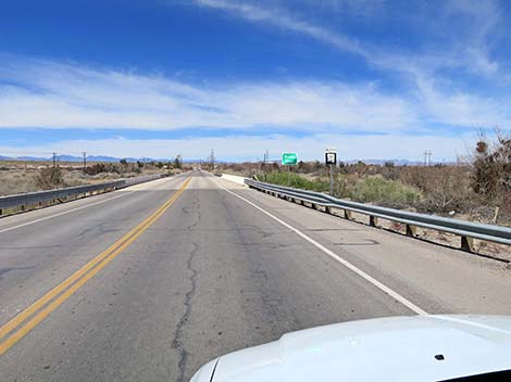 Highway 168 approaching the Muddy River Bridge (view NW) |
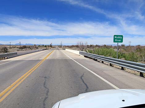 Highway 168 at the Muddy River Bridge (view NW) |
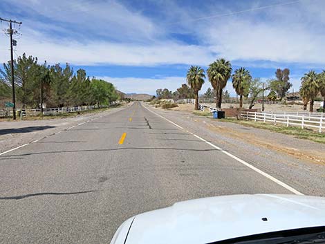
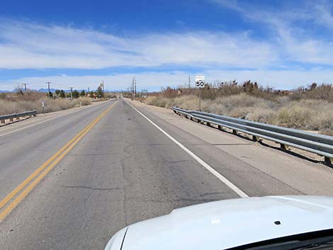 Highway 168: 50 mph through town (view NW) |
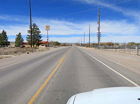 Highway 168 approaching the Muddy River Bar & Grill (view NW) |
 Highway 168 approaching the Moapa Town Fire Station (view NW) |
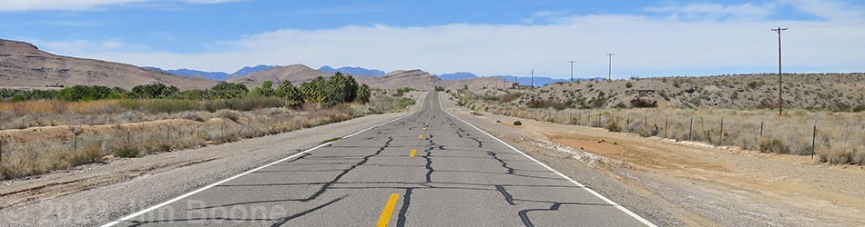
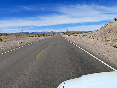
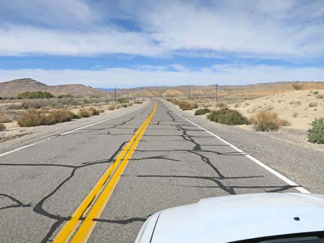
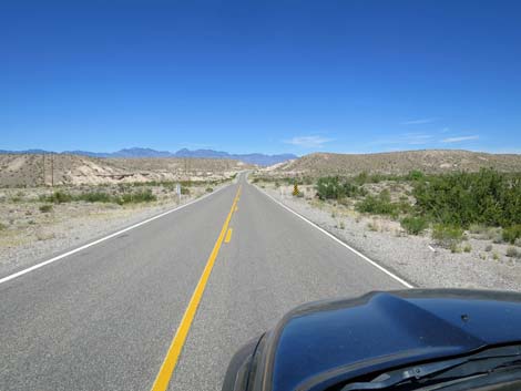
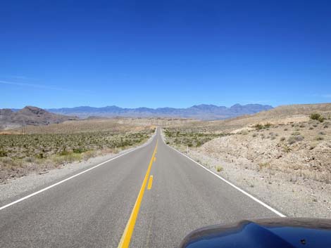
 Highway 168 heading into the desert (view W) |
 Highway 168 (view W) |
 Highway 168 approaching Meadow Valley Road (view NW) |
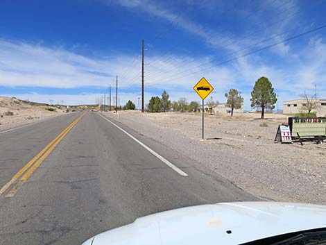
 Highway 168 approaching Moapa River Indian Reservation (view NW) |
 Highway 168 entering the Moapa River Indian Reservation (view NW) |
 Highway 168 approaching road intersection (view NW) |
 Highway 168 approaching Reservation Road (view NW) |
 Highway 168 at Reservation Road (view NW) |
 Highway 168 leaving the Moapa River Indian Reservation (view NW) |
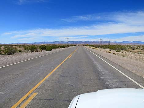
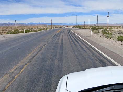
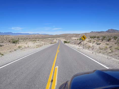
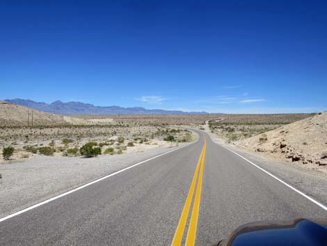
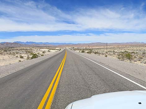 Highway 168 continuing into the desert (view NW) |
 Highway 168 approaching rural homes (view NW) |
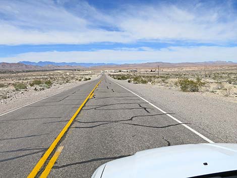
 Highway 168 continuing into the desert (view NW) |
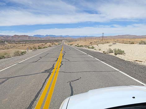
 Highway 168 continuing into the desert (view NW) |
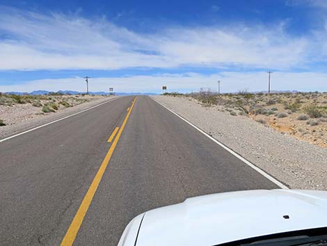
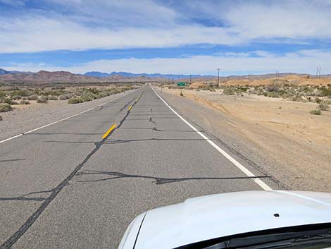
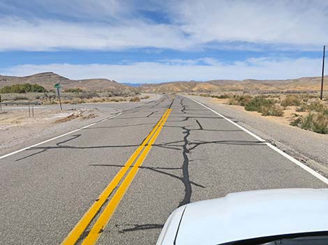
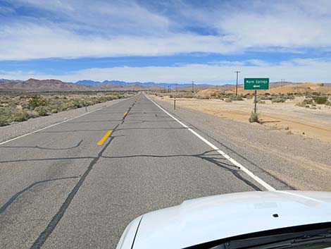 Highway 168 approaching turn to Warm Springs (view NW) |
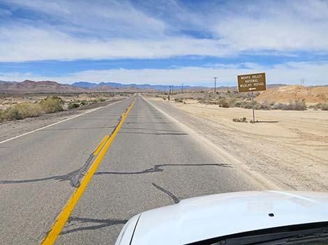 Highway 168 approaching turn to Moapa Valley NWR (view NW) |
 Highway 168 approaching road intersection (view NW) |
 Highway 168 approaching Warm Springs Road-west end (view NW) |
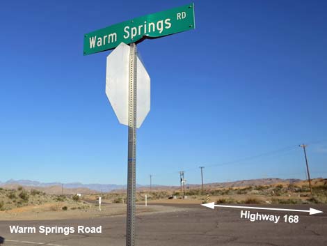 Street sign at highway intersection (view NW) |
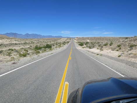
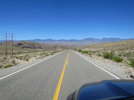
 Highway 168 continues across the desert (view NW) |
 Highway 168 entering Warm Springs Natural Area (view NW) |
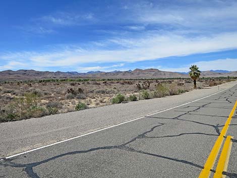 Core area of Warm Springs Natural Area (view W from Highway 168) |
 Highway 168 traversing Warm Springs Natural Area (view NW) |
 Highway 168 traversing Warm Springs Natural Area (view NW) |
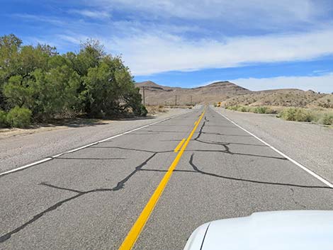
 Highway 168 passing rural housing (view NW) |
 Highway 168 passing rural housing (view NW) |
 Highway 168 passing rural housing (view NW) |
 Highway 168 approaching west end of Warn Springs Road (view NW) |
 Highway 168 at west end of Warn Springs Road (view NW) |
 Highway 168 continues across the desert (view NW) |
 Highway 168 at another west end of Warn Springs Road (view NW) |
 Highway 168 at another west end of Warn Springs Road (view NW) |
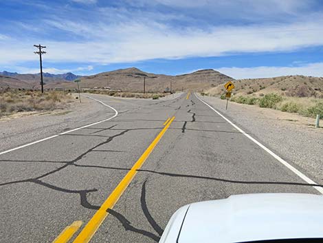
 Hwy 168 approaching Lower Arrow Canyon Access Road (view NW) |
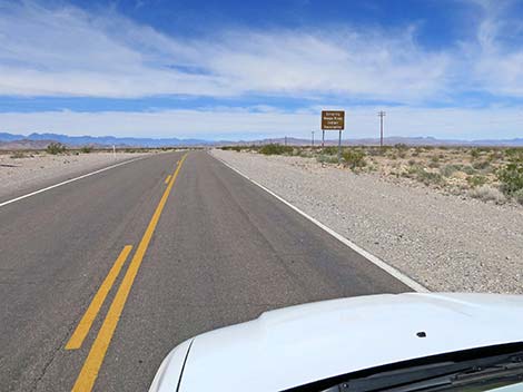
 Highway 168 at Lower Arrow Canyon Road (view NW) |
 Lower Arrow Canyon Road (view SW from Highway 168) |
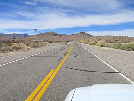
 Highway 168 winding up Muddy Wash (view NW) |
 |
 |
 |
 |
 |
 |
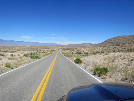 Highway 168 rolling through the hills (view NW) |
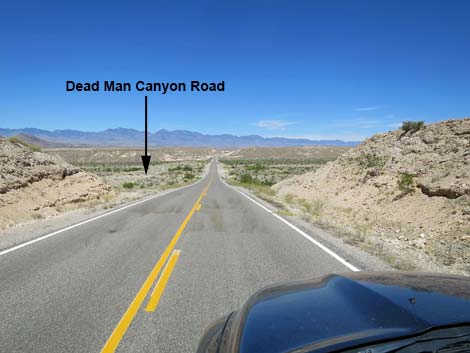 Highway 168 approaching Dead Man Canyon Road (view NW) |
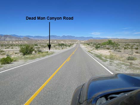 Highway 168 approaching Dead Man Canyon Road (view NW) |
 Highway 168 at Mile Marker 8, opposite Dead Man Canyon Road |
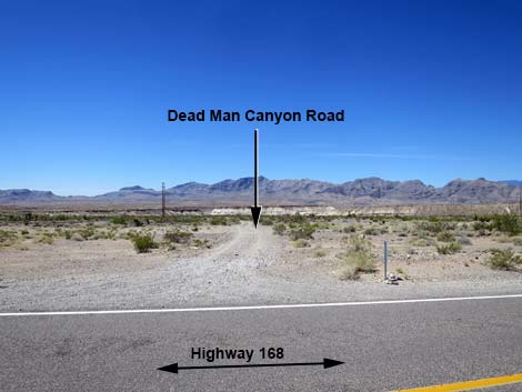 Dead Man Canyon Road (view S from Highway 168) |
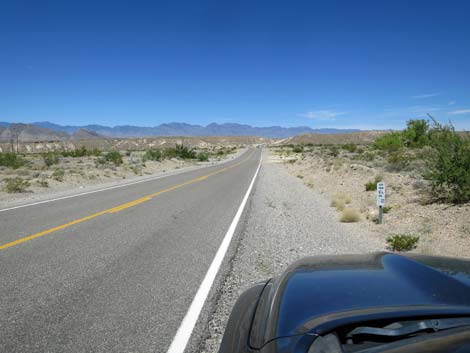
 Highway 168 continuing across Dead Man Wash (view NW) |
 |
 |
 |
 |
 |
 |
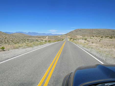
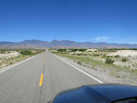
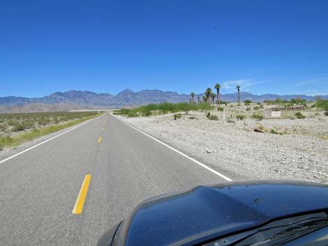
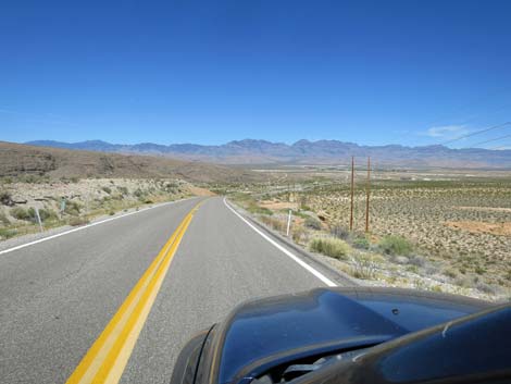 Highway 168 descending towards Starvation Flats (view NW) |
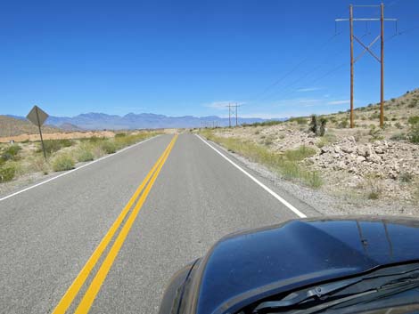
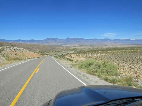 Highway 168 approaching Pahranagat Wash (view NW) |
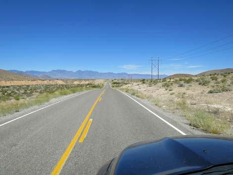
 Highway 168 crossing Pahranagat Wash (view W) |
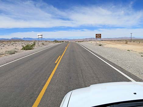
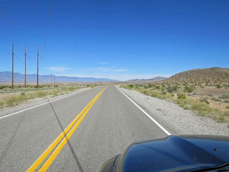
 Highway 168 approaching the Coyote Springs water treatment plant |
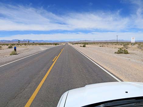
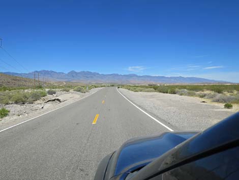
 Highway 168 approaching Coyote Springs Golf Course (view W) |
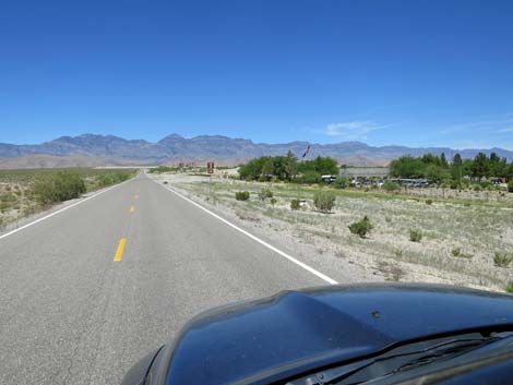 Highway 168 approaching Coyote Springs Golf Course (view W) |
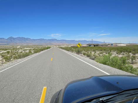
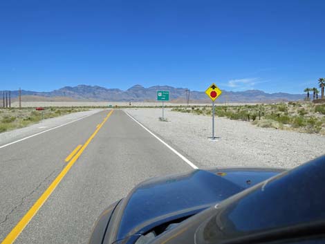
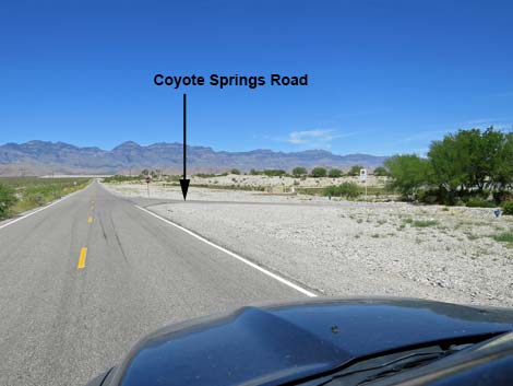 Highway 168 approaching Coyote Springs Golf Course Road (view W) |
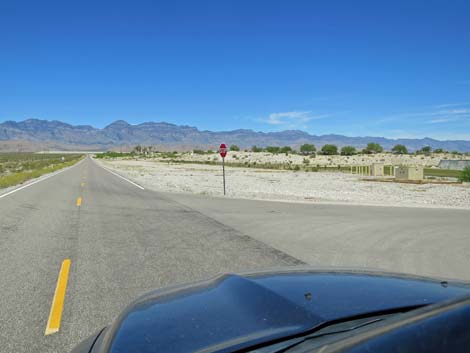 Highway 168 at Coyote Springs Golf Course Road (view W) |
 Highway 168 (view W) |
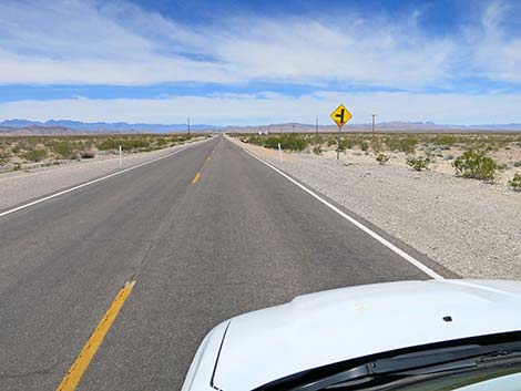
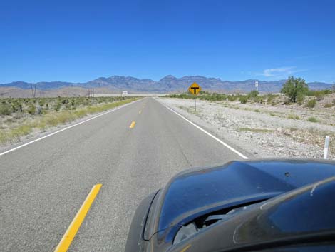 Highway 168 sign: T-intersection ahead (view W) |
 Highway 168 sign: Highway 93 ahead (view W) |
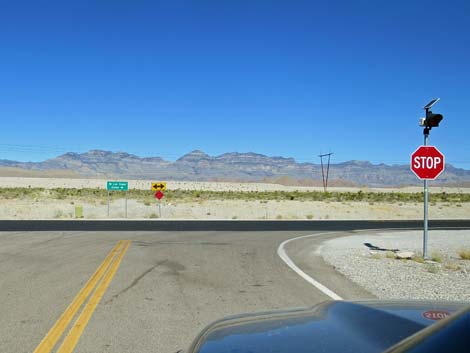
 Highway 168 sign: stop ahead; Pioche & Ely to the right (view W) |
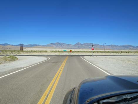 Highway 168 approaching Highway 93 (view W) |
 Preparing to turn right towards wild places (view W) |
Table 1. Highway Coordinates based on GPS Data (NAD27; UTM Zone 11S). Download highway GPS waypoints (gpx) file.
| Wpt. | Location | Latitude (N) | Longitude (W) | Elevation (ft) | Point-to-Point Distance (mi) | Cumulative Distance (mi) |
|---|---|---|---|---|---|---|
| 0879 | I-15 at Hwy 168 (Glendale) | 36.66059 | 114.57340 | 1,542 | 0.00 | 00.0 |
| 0898 | Hwy 168 at Warm Springs Rd (S) | 36.71347 | 114.67964 | 1,716 | 7.10 | 07.1 |
| 1169 | Hwy 168 at Warm Springs Rd (E) | 36.73501 | 114.72836 | 1,816 | 3.10 | 10.2 |
| 0878 | Hwy 168 at Warm Springs Rd (W) | 36.73761 | 114.73635 | 1,831 | 0.51 | 10.7 |
| 1170 | Hwy 168 at Arrow Canyon Rd | 36.73879 | 114.74057 | 1,823 | 0.25 | 11.0 |
| 1025 | Hwy 168 at Dead Man Wash | 36.77840 | 114.81018 | 2,315 | 4.87 | 15.8 |
| 0877 | Hwy 168 at Hwy 93 | 36.79916 | 114.94567 | 2,532 | 7.99 | 23.8 |
Happy Hiking! All distances, elevations, and other facts are approximate.
![]() ; Last updated 240331
; Last updated 240331
| Backroads | Hiking Around Las Vegas | Glossary | Copyright, Conditions, Disclaimer | Home |