
Hidden Valley East Trail
Hiking Around Las Vegas, Muddy Mountains Wilderness Area

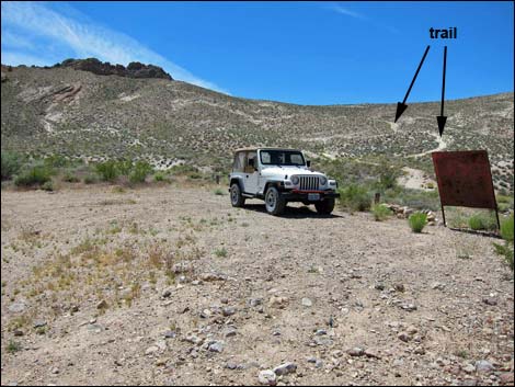 Hidden Valley East Trailhead Parking (view SW) |
Overview Hidden Valley East Trail is a 0.72-mile hike that follows an old dirt road off the Bitter Springs Trail Back Country Byway. The trail provides access to the east side of the Muddy Mountain Wilderness Area, Hidden Valley, Muddy Mountain Peak, and Sandstone Arch. Hiking to the saddle, only about 0.3 miles out, makes for a nice way to stretch one's legs and take in some grand scenery while driving the Bitter Springs Byway. Although this hike is short, getting there requires driving 11 miles on rough and wild roads where many parts are rocky and sandy, requiring 4WD vehicles and relatively slow speeds. Link to map. |
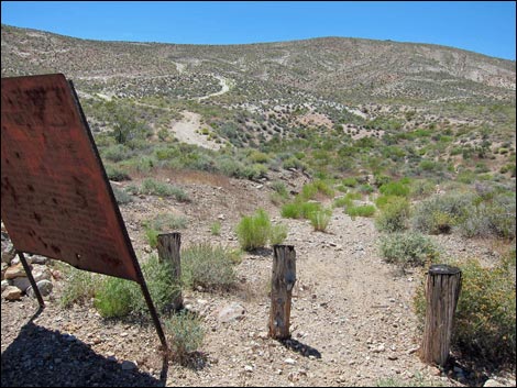 Hidden Valley East Trailhead (view SW) |
Watch Out Other than the standard warnings about hiking in the desert, ...this is a relatively safe hike, but it runs through remote country here help is not nearby. While out, please respect the land and the other people out there, and try to Leave No Trace of your passage. This area is remote, so be sure to bring the 10 Essentials. This trail goes into designated Wilderness, so pay particular attention to respecting the land. Getting to the Trailhead From Highway 169, drive southeast on Bitter Springs Trail Back Country Byway for 10.3 miles to Hidden Valley East Access Road. Angle right onto the access road and drive another 1.0 miles to a parking area at the end of the road. Park here; this is the trailhead. |
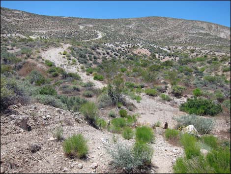 Trail quickly drops into wash (view SW) |
The Hike From the trailhead (Table 1, Waypoint 25), the trail passes the metal sign and starts down to cross a wash. Climbing out the other side, the trail follows the old road that steeply climbs the hillside. At first, the trail runs straight up the hillside, but eventually bends left to angle up and across (heading south) the hillside. After a switchback, the trail runs northwest across the hillside until leveling out and climbing onto a saddle (Wpt. 26). Views from the saddle are grand in all directions, but especially out across Hidden Valley. Beyond the saddle, the trail descends across the hillside angling northwest, then turns to run more directly down the slope to the southwest. The trail runs out into the flats of Hidden Valley to a trail intersection (Wpt. 13). Here, hikers can turn left to head towards Muddy Mountain and Sandstone Arch, or turn right to head towards the Colorock Area. |
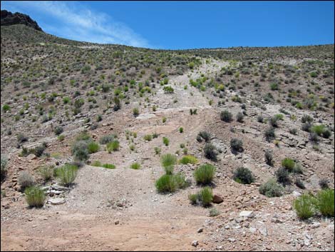 Trail begins to climb steep hillside (view SW) |
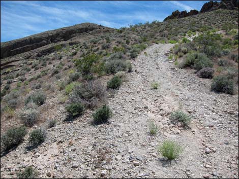 Trail cuts up and across hillside (view S) |
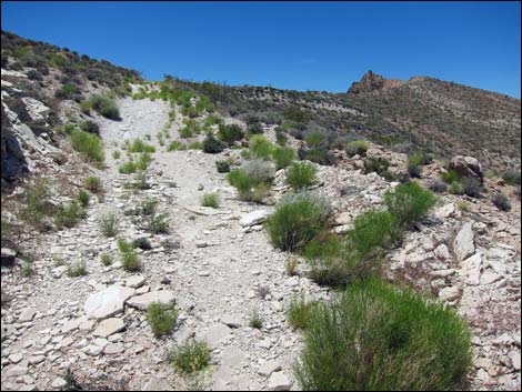 Trail switchbacks to cut up and across hillside (view NW) |
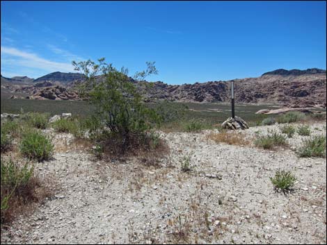 Trail arrives at the saddle (view W) |
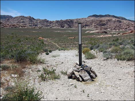 Wilderness boundary sign at the saddle (view W) |
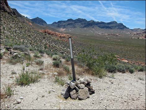 Wilderness boundary sign at the saddle (view W) |
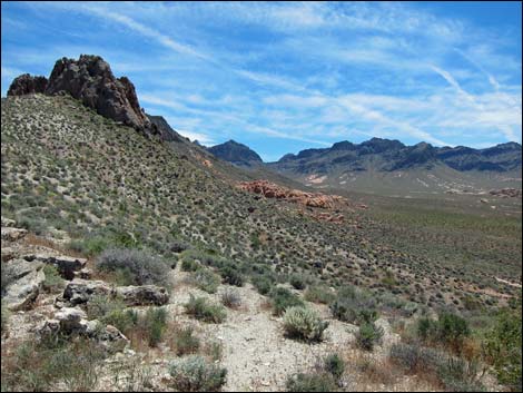 Hidden Valley and Muddy Mountain (view S) |
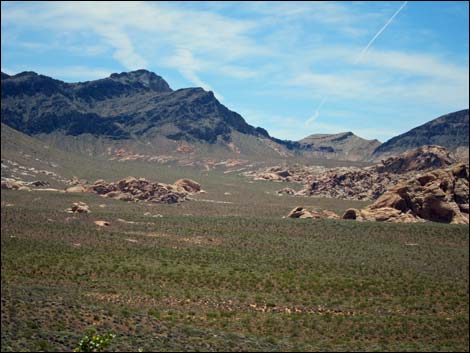 Sandstone crags in Hidden Valley (view S) |
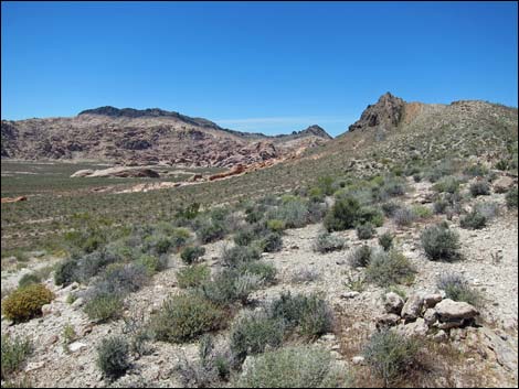 Sandstone crags in Hidden Valley (view N) |
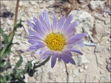 Desert Aster blooming on the saddle |
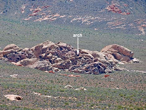 Hidden Valley arch (view SW from Overlook) |
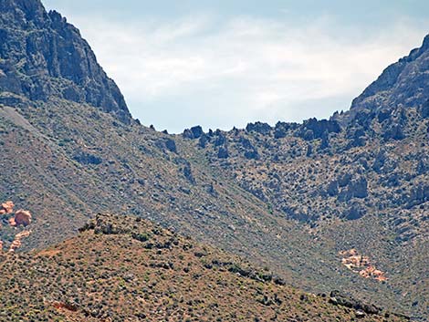 Route to Muddy Mountain (view S from the Overlook) |
Returning to the Trailhead
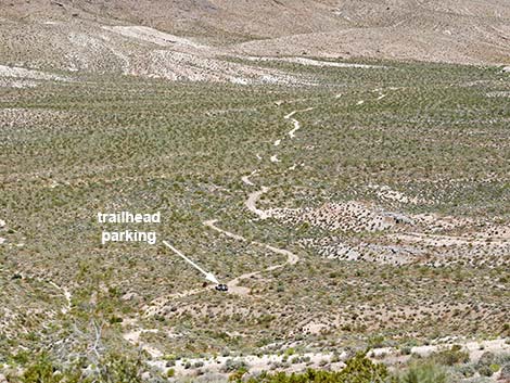 Hidden Valley east access road (view NE) |
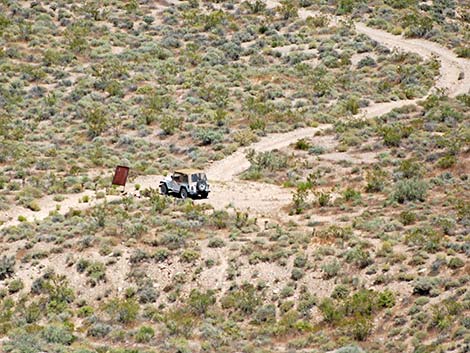 Hidden Valley east access trailhead (view NE) |
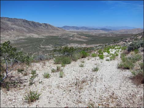 Starting down of the saddle (view SE) |
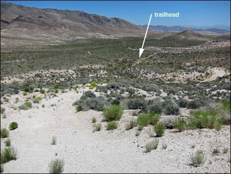 Hiking down (view SE) |
Table 1. Highway Coordinates Based on GPS Data (NAD27; UTM Zone 11S). Download Highway GPS Waypoints (*.gpx) file.
| Wpt. | Location | UTM Easting | UTM Northing | Elevation (ft) | Point-to-Point Distance (mi) | Cumulative Distance (mi) | Verified |
|---|---|---|---|---|---|---|---|
| 25 | Hidden Valley East Trailhead | 707663 | 4023988 | 3,068 | 0.00 | 0.00 | GPS |
| 26 | Saddle | 707272 | 4023815 | 3,337 | 0.34 | 0.34 | GPS |
| 13 | East Access Route | 706712 | 4023769 | 3,150 | 0.38 | 0.72 | GPS |
| 25 | Hidden Valley East Trailhead | 707663 | 4023988 | 3,068 | 0.72 | 1.44 | GPS |
Happy Hiking! All distances, elevations, and other facts are approximate.
![]() ; Last updated 240330
; Last updated 240330
| Hiking Wilderness | Hiking Around Las Vegas | Glossary | Copyright, Conditions, Disclaimer | Home |