
Hiking Around Las Vegas, Muddy Mountains Wilderness Area

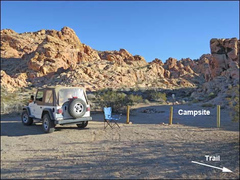 Campsite against crags (view SE) |
Overview The Hidden Valley Overlook route is the start of the Arch Trail, also called the Sandstone Arch Trail. Hiking only to the Overlook makes for a nice short trail, a bit of stiff exercise, and a place with a view to sit and contemplate the meaning of Wilderness. The route winds 0.6-miles through sandstone crags and up a long, steep hillside to a rocky outcrop on a saddle overlooking Hidden Valley and the Muddy Mountains Wilderness Area. In evening light, the view into Hidden Valley with Muddy Peak towering above is stunning -- both grand and sublime, and is one of the best views in all of southern Nevada. From the overlook, the Arch Trail continues down to the floor of Hidden Valley and off across Hidden Valley (south) to the arch. Link to map or elevation profile. |
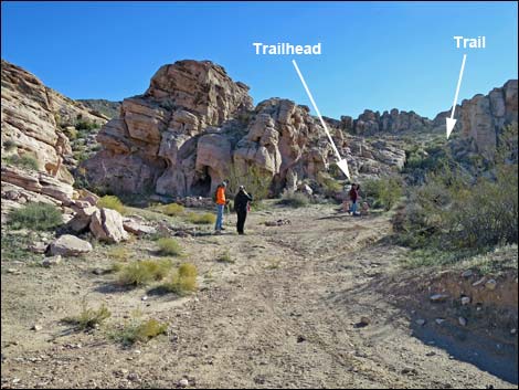 Trailhead on spur road (view SE) |
Watch Out Other than the standard warnings about hiking in the desert, ... this is a safe hike with no unusual hazards. There are places where someone could fall and hurt themselves, so be extra careful along edges. While hiking, please respect the land and the other people out there, and try to Leave No Trace of your passage. This route goes into designated Wilderness, so pay particular attention to respecting the land. This area is little used and nobody will find you out there if you need help, so be sure to bring the 10 Essentials. Cell phones don't work in this area. |
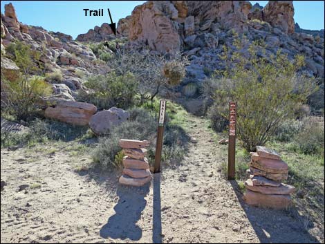 Arch Trailhead (view S) |
Getting to the Trailhead This hike is located on the north edge of the Muddy Mountains Wilderness Area, about 1.5 hours north of Las Vegas near Valley of Fire State Park. From Las Vegas, drive northbound Interstate 15 for 33 miles to Exit 75E. Turn right onto Highway 169 and drive east for 3.5 miles to Bitter Spring Backcountry Byway Road. Follow the Byway 4.1 miles to Colorock Road. Turn right and follow Colorock Road south into the mountains to the Colorock camp area. For details, see the Colorock Road webpage. Beyond the last campsite in the Colorock camp area, turn left onto the short spur road. Park here; this is the trailhead. |
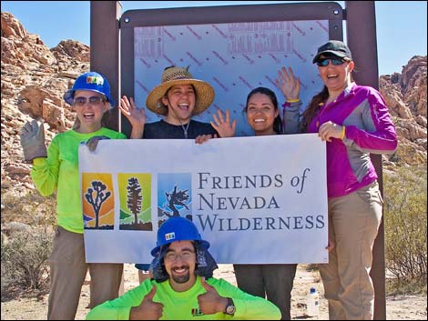 Friends of Nevada Wilderness and REI erected a trailhead kiosk |
The Hike The trailhead (Table 1, Waypoint 01) is marked with two carsonite signs and two large cairns. From the trailhead, the trail runs up the hillside to a flattish area above the first set of cliffs. Passing a wilderness area boundary sign (Wpt. 02), the trail follows ledges along the cliffs running southeast. The trail crosses a wash, then runs up a sandstone bench. In rocky areas, the trail is marked with large cairns. The trail climbs onto a rocky saddle (Wpt. 03), then switchbacks down natural ledges on the other side dropping into the wash below where an obvious trail can be seen in the sandy dirt. |
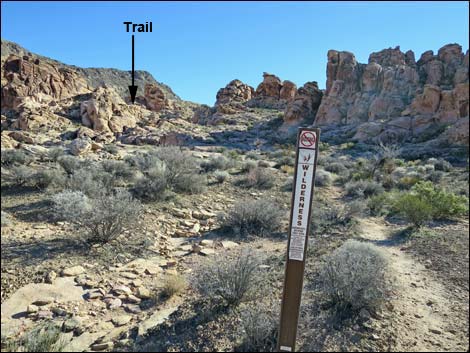 Muddy Mountain Wilderness Area sign along trail (view SE) |
In the wash, the well-defined trail runs up along the wash, then curves left and climbs onto the southwest facing hillside. The trail is steep in places as it climbs onto the hillside, and there are two more large cairns along the dirt trail. The trail eventually runs up onto a rocky ridgeline (Wpt. 04) north of and above a saddle on the crest of the ridge. This overlook is a great place to sit, eat lunch, and contemplate the scenic grandeur of Wilderness. Perhaps a Rock Wren will come and sing for you as it did for me. |
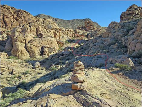 Large cairn marks the trail across rocks (view SE) |
When ready to leave, either retrace your footprints in the dust back to the trailhead, or consider continuing down to the floor of Hidden Valley following the Arch Trail, then hike downstream through the Colorock Canyon narrows to Colorock Road. From there, follow dirt roads back to the trailhead. |
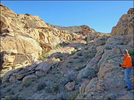 Hiker on trail |
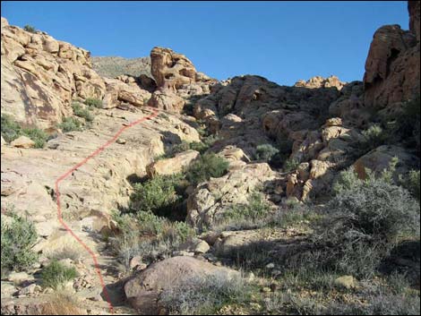 High in the canyon, trail follows sandstone bench (view SE) |
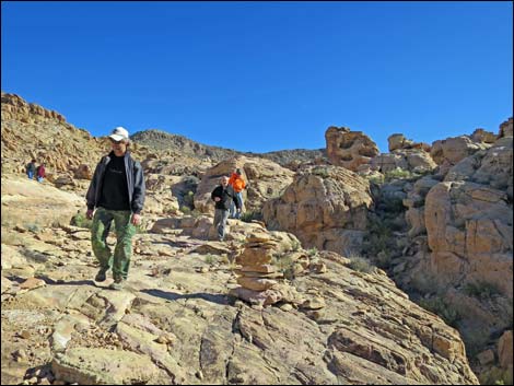 Hikers and cairn on sandstone bench (view SE) |
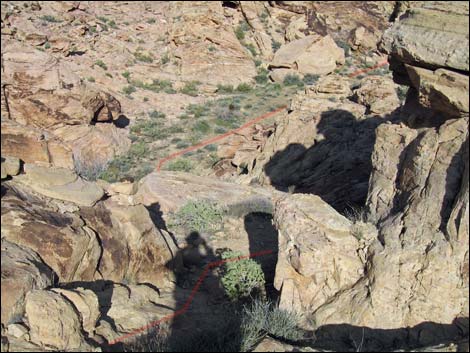 Trail runs over rocky ridge and drops into wash (view E) |
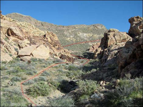 After crossing low ridge, trail runs in wash and up hillside (view SE) |
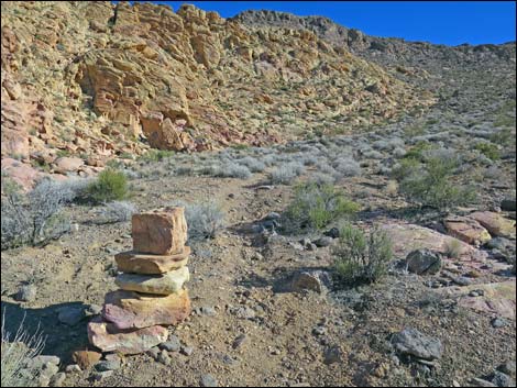 Cairn along trail on hillside (view E) |
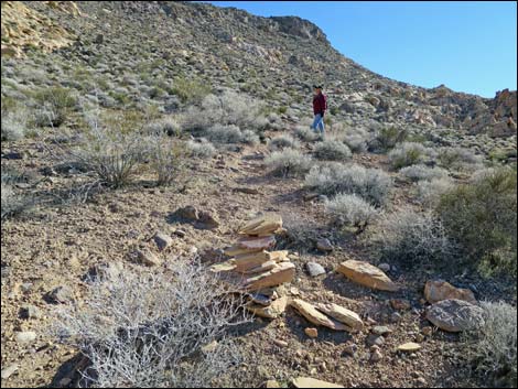 Hiker and cairn on trail on hillside (view E) |
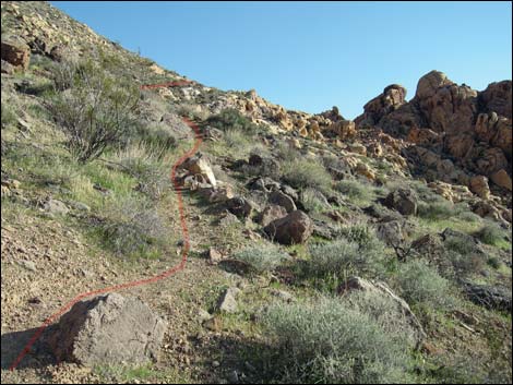 Trail on hillside (view SE) |
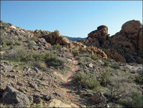 Trail on hillside approaching saddle (view SE) |
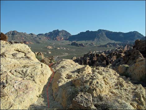 Rocky outcrop at the overlook (view S) |
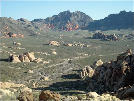 Hidden Valley and Muddy Peaks (View S) |
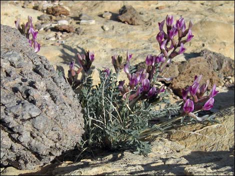 Limestone, sandstone, and locoweed in flower |
Descending from the Overlook Back to the Trailhead
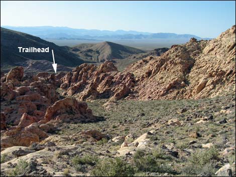 Looking back towards the trailhead (view NW) |
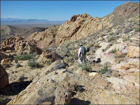 Hikers starting to descend from Overlook (view NW) |
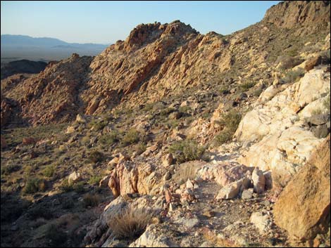 Trail descends across rocky hillside below Overlook (view NW) |
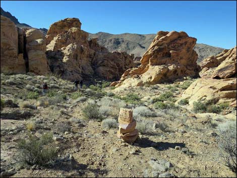 Cairn along trail on hillside (view W) |
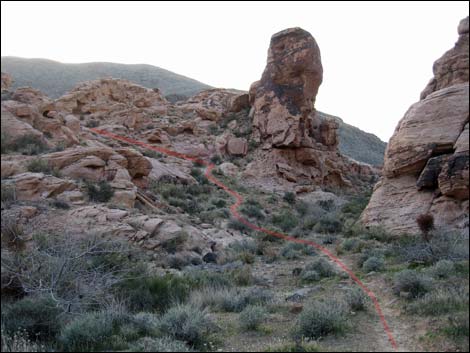 In wash, trail cuts left at rock thumb (view NW) |
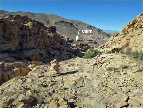 Cairns mark trail across sandstone (view NW) |
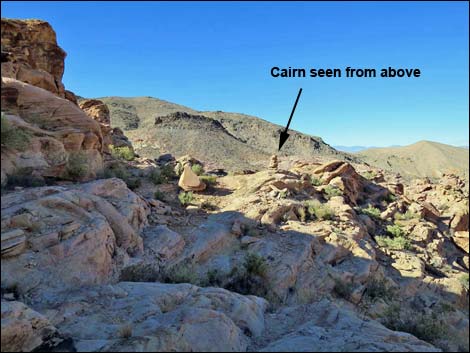 Cairns mark trail across sandstone (view NW) |
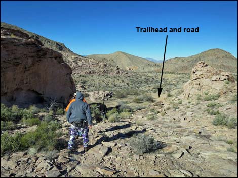 Hikers dropping towards the trailhead (view NW) |
Table 1. Hiking Coordinates (NAD27; UTM Zone 11S). Download Hiking GPS Waypoints (*.gpx) file.
| Wpt. | Location | UTM Easting | UTM Northing | Elevation (ft) | Point-to-Point Distance (mi) | Cumulative Distance (mi) | Verified |
|---|---|---|---|---|---|---|---|
| 01 | Trailhead | 705412 | 4026301 | 2,905 | 0.00 | 0.00 | GPS |
| 02 | Wilderness Sign | 705448 | 4026229 | 2,913 | 0.06 | 0.06 | GPS |
| 03 | Rocky Saddle | 705588 | 4026159 | 3,021 | 0.11 | 0.17 | GPS |
| 04 | Hidden Valley Overlook | 705866 | 4025899 | 3,247 | 0.34 | 0.51 | GPS |
| 01 | Trailhead | 705412 | 4026301 | 2,905 | 0.51 | 1.02 | GPS |
Happy Hiking! All distances, elevations, and other facts are approximate.
![]() ; Last updated 240330
; Last updated 240330