
Hiking Around Las Vegas, Muddy Mountains Wilderness Area, Backroads

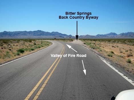 Hwy 169 at Bitter Spring Back Country Byway Road (view SE) |
Storms in late 2015 washed out the road, but it is passable in 4WD. The first washout has been repaired. The second repair is a pile of rocks that is solid but steep, and long-wheelbase vehicles might have trouble getting over it. In February 2019, I got similar reports, so apparently little has changed. Overview The Colorock Quarry Road is a moderately rough dirt road that is normally passable in a 2WD-HC vehicle. The road provides access to trails, undeveloped camping areas, petroglyph sites, rock climbing, and the Hidden Valley section of the Muddy Mountains Wilderness Area. Colorock Quarry Road is actually the last of three roads needed to get to the quarry and trailhead area, but the description here starts from the pavement. Link to map. |
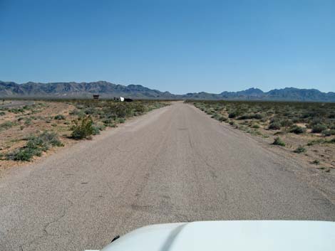 Start of the Byway is paved (view SE) |
Watch Out Other than the standard warnings about hiking in the desert, ... this is a safe road with no unusual hazards. There are many cactus and other things with sharp points, so be careful when walking around. While driving, please respect the land and the other people out there, and try to Leave No Trace of your passage. This road goes to the edge of Wilderness, so pay particular attention to respecting the land. This area is little used so nobody will find you if you need help, so be sure to bring the 10 Essentials. Cell phones work from many parts of this area, but not after the road gets into the canyons. |
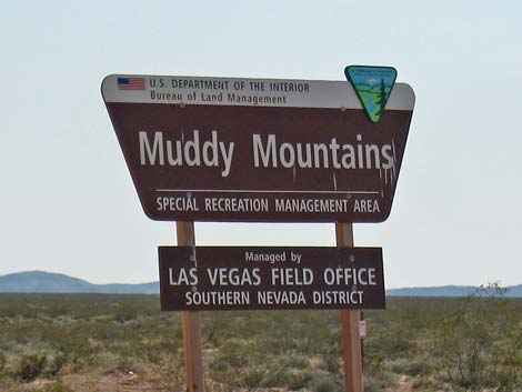 Muddy Mountains management area sign (view S) |
Getting to the Roadhead This road is located on the edge of the Muddy Mountains Wilderness Area, about 1 hour north of Las Vegas near Valley of Fire State Park. From Las Vegas, drive north (actually northeast) on Interstate 15 for 33 miles to Exit 75E, the Valley of Fire State Park exit (Table 1, Site 1027). Turn right, pass the Indian Smoke Shop, and drive east on Highway 169 for about 3.2 miles. When the highway bends hard to the left (Site 1028), continue straight onto Bitter Spring Backcountry Byway Road. The byway is paved for a short distance, then becomes graded dirt. If it is still standing, watch for the "Muddy Mountains Wilderness Area" sign near the intersection. |
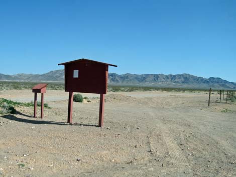 Staging area for off-road races along the Byway (view S) |
The Road From the pavement, drive southeast 4.1 miles on Bitter Spring Backcountry Byway Road to a signed road intersection (Site 1029). Some parts of the Byway can be pretty rocky, and people have created a parallel road on the south side that is useful. At the signed intersection, turn right towards Colorock Quarry. Now heading southwest, drive 0.2 miles (crossing three washes) to an unsigned fork in the road (Site 1030). Stay left and drive south towards the mountains, which are still in the distance. Some parts of the road are pretty rocky, and people have created a parallel road on the south side that is useful. At about 1.9 miles from the fork in the road, the road crosses a broad wash that can be a bit washed out. In a 2WD-HC vehicle, be careful of soft gravel on the far side. The road continues across the wash and climbs into the hills. |
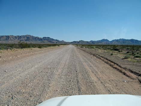 Usually a good road, but it gets washboarded (view SE) |
As the road crests the first major ridge in the mountains, dirt roads fork off to the left and right; stay straight on the main road. The road forks again (Site 1031); and again stay straight (left) on the main road. The road then drops to cross a wash that in December 2014 was too rough for a 2WD-HC vehicle. Shortly, the road forks again (Site 1032), and here a road sign reads "Colorock Quarry" with an arrow to the right (the word "quarry" and the arrow are painted over in white). At this fork, Colorock Road stays left to the Colorock Trailhead into Hidden Valley via the Colorock Canyon Loop Route and Colorock Cabin. To the right, Colorock Camp Road runs up to the camp area and the Arch Trail Trailhead into Hidden Valley. Staying to the left at the Colorock Quarry sign, the road continues along the wash for another 0.4 miles to a wide spot in the road just before it drops into and crosses a wash. For hikers, this is the best place to stop because it is easy to turn around and because the road gets much rougher just ahead. Parking here adds only 0.1 miles to the hike. For the Colorock Canyon Route into Hidden Valley and for Colorock Cabin, park here; this is the trailhead (Site 1035). |
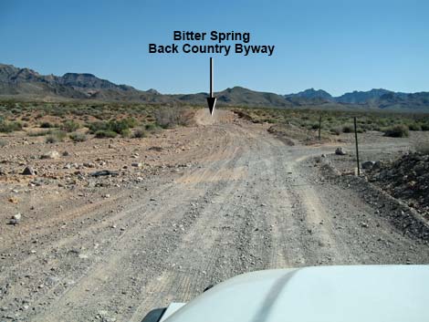 Bitter Spring Back Country Byway continues straight (view SE) |
Staying to the right at the Colorock Quarry sign, the road crosses a wash, heads up a broad canyon, and then runs out into a flat, open area. In the flat area, several roads fork off to the left and lead to campsites. The first fork leads to a secluded campsite tucked in a canyon far to the left, but the road is a bit rough. At the second fork, it is best to stay left, as the main road (straight) becomes unpleasantly rocky. Staying left, the road eventually bends to the right and continues south. A road to the left leads into the secluded canyon, but this road also is a bit rough. Continuing south, the road passes campsites and eventually runs along a post fence, which marks the last campsite. Beyond the last campsite, the road runs tight between sandstone bluffs on the left and a deep wash on the right (ignoring a closed road that cuts steeply down into the wash). |
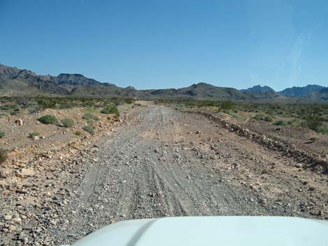 Back Country Byway begins to get rocky (view SE) |
About 50 yards past the last campsite, a short spur road to the left leads to the Arch Trail Trailhead. Park here; this is the trailhead (Site 1034). Past the turnoff into the trailhead, the road continues right for another 200 yards and ends at a tight turn-around overlooking the deep wash. Return to the pavement by retracing your tire tracks in the dust. |
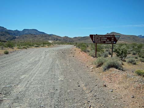 Approaching road sign along Back Country Byway (view SE) |
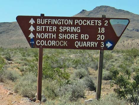 Road sign along Back Country Byway (view SE) |
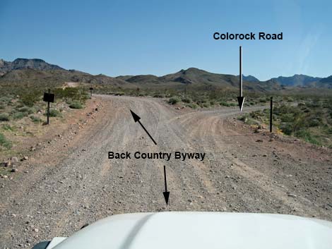 Colorock Road depart Bitter Spring Back Country Byway (view SE) |
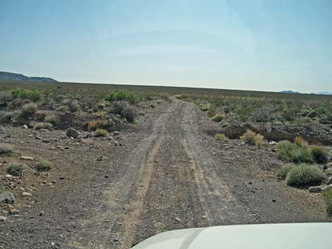 Colorock Road crosses wash and continues (view SW) |
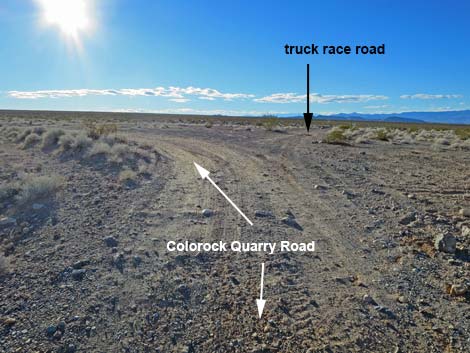 Colorock Quarry Road curves left at fork (view SW) |
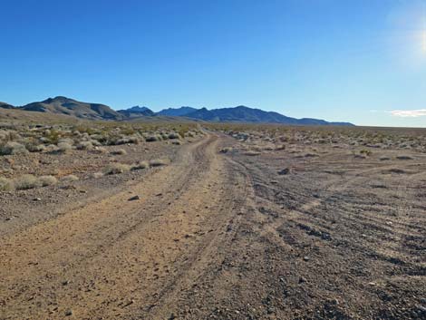 Colorock Quarry Road continues towards the mountains (view S) |
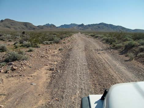 Colorock Quarry Road (view S) |
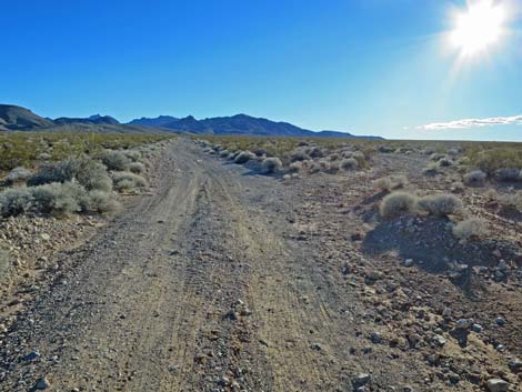 Parallel roads; left might be better (view S) |
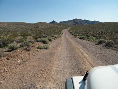 Colorock Quarry Road (view S) |
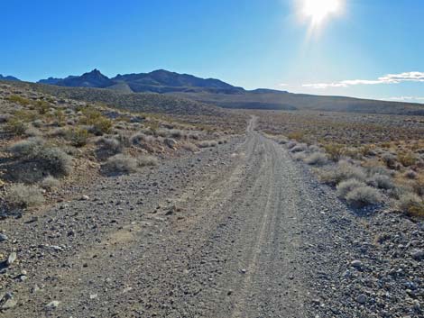 Colorock Road climbs over low ridge (view SW) |
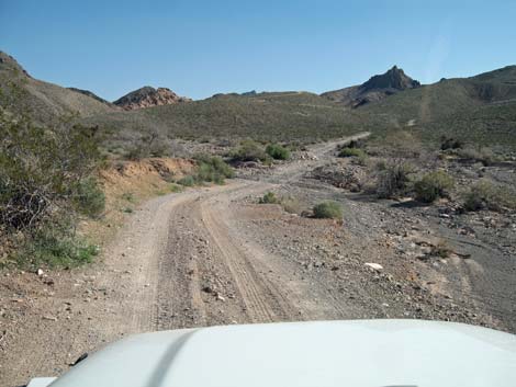 Colorock Quarry Road dropping to cross a wash (view SE) Colorock Quarry Road dropping to cross a wash (view SE) |
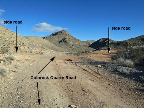 Colorock Rd passes side roads and bends right atop a ridge (view E) |
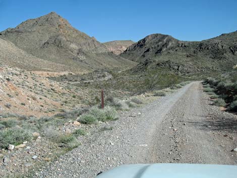 Colorock Rd starts down over the ridge (view E) |
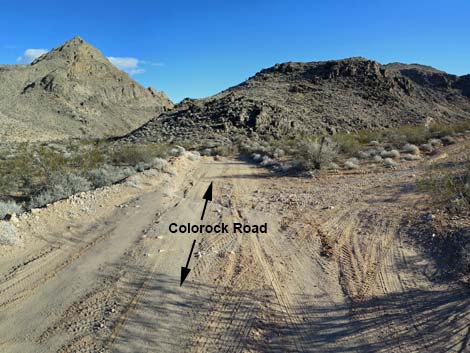 Colorock Quarry Road passing a side road (view SE) |
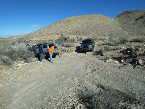 Vehicle returning over the washout (view NE; 2WD stop here) |
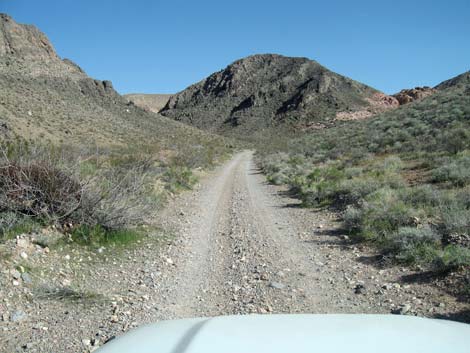 Colorock Quarry Road (view SE) |
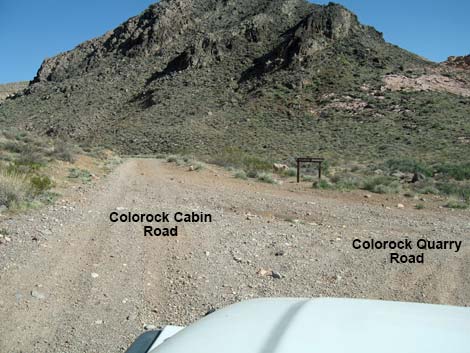 Colorock Quarry Road forks: Cabin left (see below; view E) |
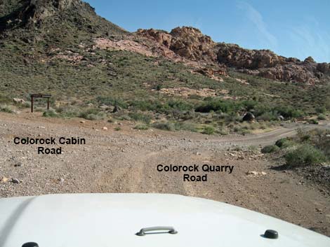 Colorock Quarry Road: Cabin left; Quarry right (view SE) |
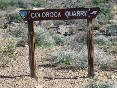 Colorock Quarry sign at fork in the road (view SE) |
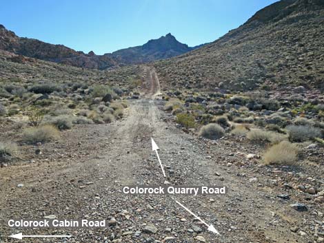 Colorock Quarry Road (view S) |
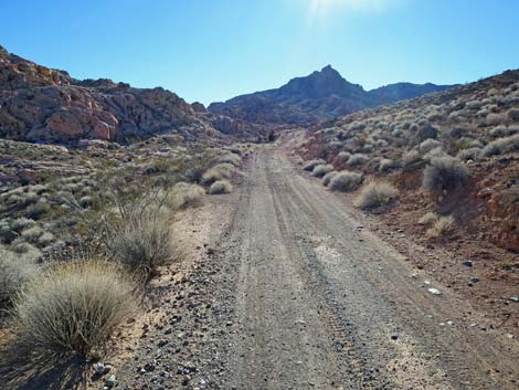 Colorock Quarry Road (view S) |
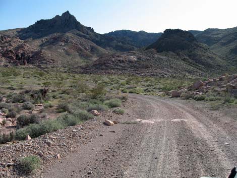 Colorock Quarry Road (view SW) |
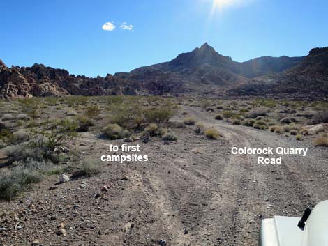 Colorock Quarry Road entering the camping area (view S) |
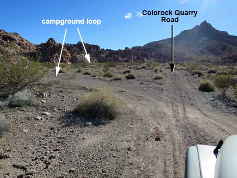 Colorock Quarry Road at start of campground loop (view S) |
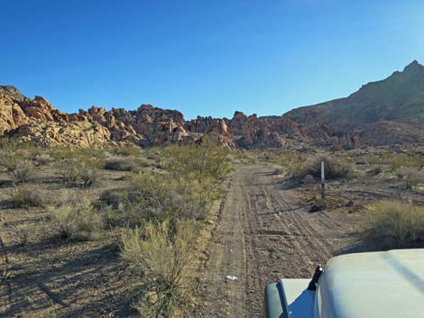 Colorock Quarry Road approaching top of camp loop (view S) |
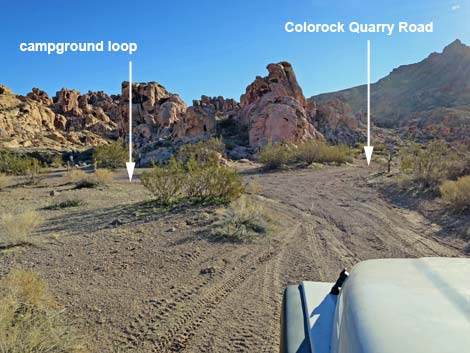 Colorock Quarry Road at top of camp loop (view S) |
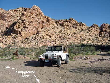 Camper at south-most campsite (view E) |
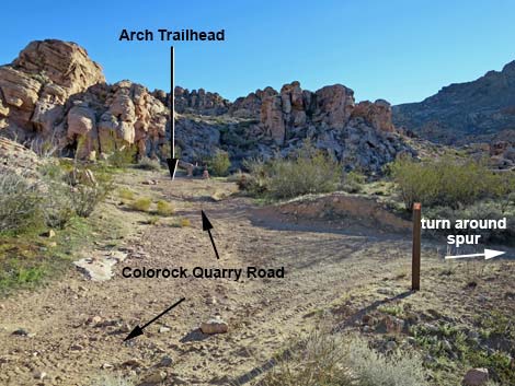 Colorock Quarry Road approaching Arch Trailhead (view SE) |
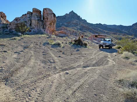 End of Colorock Quarry Road at turn around spur (view SW) |
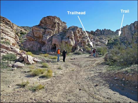 Hikers at Arch Trailhead (view SE) |
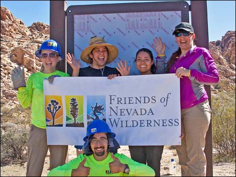 Friends of Nevada Wilderness and REI erected a trailhead kiosk |
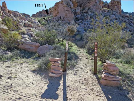 Arch Trailhead (view S) |
Colorock Cabin Road
 Colorock Quarry sign at fork in the road (view SE) |
 Colorock Cabin Road stays left; Quarry to the right (view SE) |
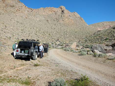
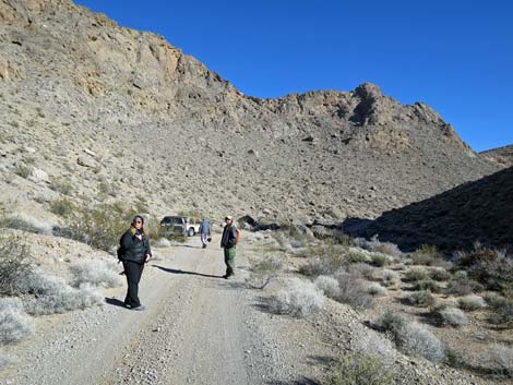 Hikers on road approaching Colorock Cabin Trailhead (view E) |
 Colorock Cabin Trailhead (view E) |
Table 1. Highway Coordinates based on GPS data (NAD27; UTM Zone 11S). Download Highway GPS Waypoints (*.gpx) file.
| Site # | Location | Latitude (N) | Longitude (W) | UTM Easting | UTM Northing | Elevation (feet) | Distance from Hwy 169 |
Verified |
|---|---|---|---|---|---|---|---|---|
| 1027 | I-15 at Hwy 169 | 36.50200 | 114.76068 | 700558 | 4041761 | 2,017 | n/a | GPS |
| 1028 | Hwy 169 at Bitter Spring Byway | 36.46118 | 114.73528 | 702940 | 4037285 | 2,129 | 0.0 | GPS |
| 1029 | Bitter Spring Byway at turn | 36.40630 | 114.70748 | 705575 | 4031255 | 2,490 | 4.1 | GPS |
| 1030 | Turn onto Colorock Rd | 36.40467 | 114.71072 | 705289 | 4031067 | 2,490 | 4.3 | GPS |
| 1031 | Colorock Rd at Wrong Road | 36.37029 | 114.71245 | 705225 | 4027249 | 2,765 | 6.9 | GPS |
| 1032 | Colorock Rd at Camping Road | 36.36825 | 114.70822 | 705609 | 4027031 | 2,788 | 7.1 | GPS |
| 1035 | Wash Trailhead | 36.36804 | 114.70530 | 705872 | 4027014 | 2,802 | 7.3 | GPS |
| 1033 | Colorock Rd at Washout | 36.36661 | 114.70324 | 706061 | 4026860 | 2,811 | 7.4 | GPS |
| 1034 | Over-the-Ridge Trailhead | 36.36222 | 114.71031 | 705437 | 4026358 | 2,897 | 7.5 | GPS |
Happy Hiking! All distances, elevations, and other facts are approximate.
![]() ; Last updated 240330
; Last updated 240330
| Backroads | Hiking Wilderness Areas | Hiking Around Las Vegas | Glossary | Copyright, Conditions, Disclaimer | Home |