
Hiking Around Las Vegas, Muddy Mountains Wilderness Area, Backroads

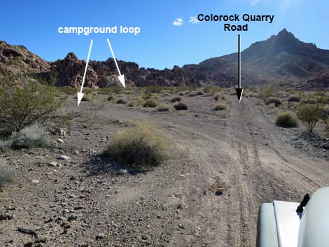 Colorock Quarry Road entering Colorock Campground loop (view S) |
Overview The Colorock Campground is a quiet, primitive campground nestled against colorful sandstone cliffs at the head of a valley. This campground is close to town, yet provides a nice get-away from the sights and sounds of the city, while also providing access to hikes in the Hidden Valley section of the Muddy Mountains Wilderness Area, petroglyph sites, rock climbing, and off-highway driving adventures on the desert flats. Several campsites spread out along the Campground Loop Road, including some on a spur that requires 4WD to access, but there are no amenities other than stone campfire rings. Access is via the moderately rough Colorock Quarry Road that is normally passable in a 2WD-HC vehicle, but as has been happening over the years, road conditions are getting worse. Link to Colorock Road map. |
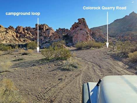 Colorock Quarry Road at end of Colorock Campground loop (view S) |
Watch Out Other than the standard warnings about hiking in the desert, ... this is a safe area with no unusual hazards. There are many cactus and other things with sharp points, so be careful when walking around, and be careful scrambling around on the sandstone crags. Please respect the land and the other people out there, and try to Leave No Trace of your passage. This campground is on the edge of Wilderness, so pay particular attention to respecting the land. This area is little used so nobody will find you if you need help, so be sure to bring the 10 Essentials. Cell phones work from many parts of this area, but not after the road gets into the canyons and not at the campground. |
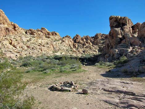 Campsite (view E) |
Getting to the Roadhead This campground is located on the edge of the Muddy Mountains Wilderness Area, about 1 hour north of Las Vegas near Valley of Fire State Park. From Las Vegas, drive north (actually northeast) on Interstate 15 to the Valley of Fire State Park exit (Table 1, Site 1027). Turn right, pass the Indian Travel Plaza, and drive east on Highway 169 for about 3.2 miles. When the highway bends hard to the left (Site 1028), continue straight onto Bitter Spring Backcountry Byway Road. The byway is paved for a short distance, then becomes graded dirt. If it is still standing, watch for the "Muddy Mountains" sign near the intersection. After departing Highway 169 (Site 1028), follow directions for Colorock Quarry Road to the campground, which is just before the Arch Trailhead (Site 1034). |
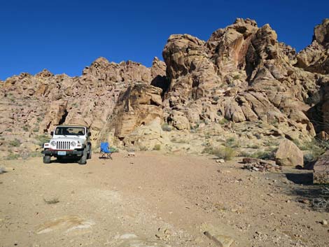 Campsite (view SE) |
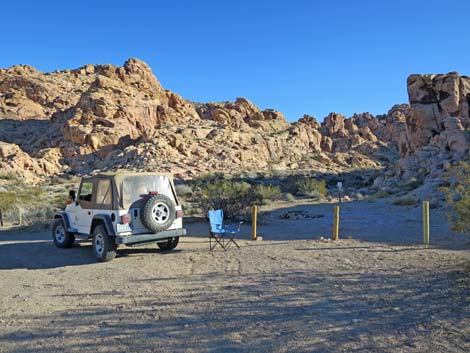 Campsite (view SE) |
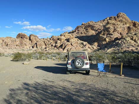 Campsite (view SE) |
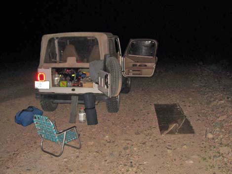 Setting up camp in the dark |
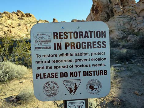 Please pay attention to restoration signs |
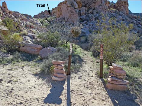 Arch Trailhead (view S) |
Table 1. Highway Coordinates based on GPS data (NAD27; UTM Zone 11S). Download Highway GPS Waypoints (*.gpx) file.
| Site # | Location | Latitude (N) | Longitude (W) | UTM Easting | UTM Northing | Elevation (feet) | Distance from Hwy 169 |
Verified |
|---|---|---|---|---|---|---|---|---|
| 1027 | I-15 at Hwy 169 | 36.50200 | 114.76068 | 700558 | 4041761 | 2,017 | n/a | GPS |
| 1028 | Hwy 169 at Bitter Spring Byway | 36.46118 | 114.73528 | 702940 | 4037285 | 2,129 | 0.0 | GPS |
| 1029 | Bitter Spring Byway at turn | 36.40630 | 114.70748 | 705575 | 4031255 | 2,490 | 4.1 | GPS |
| 1030 | Turn onto Colorock Rd | 36.40467 | 114.71072 | 705289 | 4031067 | 2,490 | 4.3 | GPS |
| 1031 | Colorock Rd at Wrong Road | 36.37029 | 114.71245 | 705225 | 4027249 | 2,765 | 6.9 | GPS |
| 1032 | Colorock Rd at Camping Road | 36.36825 | 114.70822 | 705609 | 4027031 | 2,788 | 7.1 | GPS |
| 1035 | Wash Trailhead | 36.36804 | 114.70530 | 705872 | 4027014 | 2,802 | 7.3 | GPS |
| 1033 | Colorock Rd at Washout | 36.36661 | 114.70324 | 706061 | 4026860 | 2,811 | 7.4 | GPS |
| 1034 | Arch Trailhead | 36.36222 | 114.71031 | 705437 | 4026358 | 2,897 | 7.5 | GPS |
Happy Hiking! All distances, elevations, and other facts are approximate.
![]() ; Last updated 240330
; Last updated 240330
| Backroads | Hiking Wilderness Areas | Hiking Around Las Vegas | Glossary | Copyright, Conditions, Disclaimer | Home |