
Hiking Around Las Vegas, Spring Mountains (Mount Charleston), Kyle Canyon

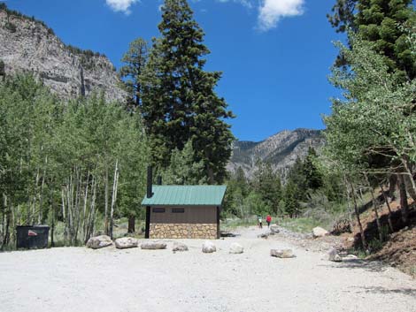 Mary Jane Falls Trailhead (view NW) |
Note, May 2025: This trail is closed due to damage from the 2023 hurricane. The US Forest Service expects to reopen the area in the fall of 2027 after they fix the trail and parking area. Overview The Mary Jane Falls Trail is fairly strenuous, climbing almost 1,100 feet in 1.6 miles. The trail starts in the bottom of Kyle Canyon, which at this point is deep, heavily forested, and surrounded by beautiful gray limestone cliffs. In the first 0.7 miles, the trail climbs 450 feet, then turns right into a side canyon and climbs another 650 feet to the falls in the remaining 0.9 mile. The falls are seasonal; the best flows occur during spring when the snow is melting. A cave beyond the falls adds interest to the hike and a good overview of the area. In 2011, the trail was heavily damaged by irresponsible hikers cutting the switchbacks and making the actual trail difficult to follow and dangerous in places. The trail crew fixed the switchbacks, but please stay on trail to protect it and the environment. Link to trail map or trail junction map. |
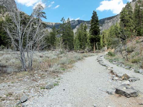 Start of the trail (view W) |
Watch Out Other than the standard warnings about hiking in the desert, ...this trail is surprisingly strenuous, so take it easy at this elevation if you've just come up from the lowlands. There are places along the trail where a slip would result in injury, so be careful and watch your kids carefully. Watch for ice if you hike up here in the winter or early spring. At the base of the switchbacks, many people miss the sign where the trail turns right off the old campground road. Pay attention and watch for the sign! While hiking, please respect the land and the other people out there, and try to Leave No Trace of your passage. Although this hike is fairly short, be sure to bring what you need of the 10 Essentials. |
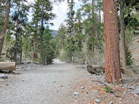 Trail low in the canyon (view NW) |
Getting to the Trailhead This hike is located in Kyle Canyon up in the Spring Mountains National Recreation Area, about 1 hour northwest of Las Vegas. From town, drive out to the Spring Mountains Visitor Center, then continue up Kyle Canyon Road. Just past the fire station, stay right onto Echo Road and the Mary Jane Falls Trailhead. |
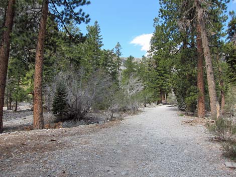 Trail follows old campground road (view W) |
The Hike From the trailhead (Table 1, Waypoint 01), the clearly marked trail runs northwest up Kyle Canyon on an old road for 0.72 miles. Along here, the trail passes through a forest of ponderosa pine, white fir, rocky mountain maple, quaking aspens, and mountain mahogany. The understory is open with a few wax currents, composite shrubs, grasses, thistles, and a few other forbs. In the bottom of the canyon, the trail runs on an old road that once gave access to a campground. Years ago, the campground was washed out in a big flashflood, and for safety reasons, never was rebuilt. In places, evidence of old campsites can still be seen. Towards the top of the Kyle Canyon, the Mary Jane Falls Trail jogs to the right at a not-so-obvious fork (Wpt. 02) in the trail where the old road continues straight (see trail junction map) up the canyon as the Big Falls Route. |
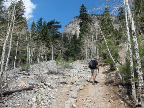 Trail eventually narrows (view W) |
When the Mary Jane Falls Trail leaves the old campground road, it jogs right into the trees. The fork in the trail is also indicated with large rocks and a sign, but many people accidentally continue up the old road and miss the turn in the Mary Jane Falls Trail. The rocks indicating the turn look like a water-bar (of which there are many along the trail), so watch for the sign or follow a GPS device. Within 100 feet of leaving the old road (Wpt. 03), the Mary Jane Falls Trail cuts sharply back to the right, runs northeast, and starts up a long (0.63 miles) series of switchbacks heading for the base of the gray limestone wall (Wpt. 04) that can be seen far above. The limestone wall forms the east side of the side canyon harboring Mary Jane Falls. From the base of the limestone headwall (Wpt. 04), the trail runs north for 0.27 miles to the base of the falls (Wpt. 05), which are located in the back of the canyon. Parts of the trail along here are heavily damaged, so be careful. Some of the stone stairs are loose. |
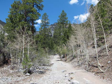 Trail in mid-canyon (view NW) |
The vegetation at the falls is mostly white fir and ponderosa pine with a few bristlecone pines and limber pines mixed in, plus some wax current and a few grasses and herbs. Far overhead, springs produce water that cascades over the cliffs and down the falls. There are two caves at the base of the falls with water dripping across the entrance. There is another interesting cave about 400 ft farther out the trail past the falls. This cave has some flowstone, broken cave curtains, and tiny stalactites. Please stay on the trail and don't cut the switchbacks. This damages the trail and the vegetation, and it makes things worse for everyone else. To get back to the trailhead, retrace your steps. |
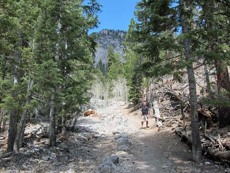 Trail in upper canyon (view NW) |
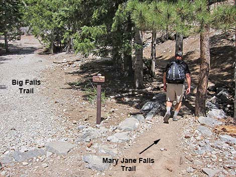 0.1 miles before base of switchbacks: this is where people get lost |
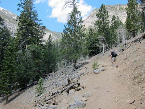 Trail low in the switchbacks (view NW) |
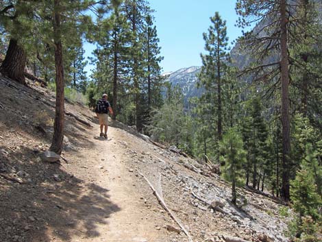 Trail in the middle switchbacks (view SE) |
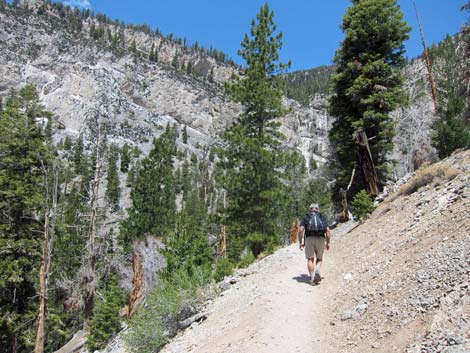 Trail in the upper switchbacks (view NW) |
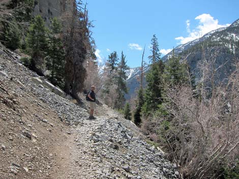 Trail in the upper switchbacks (view SE) |
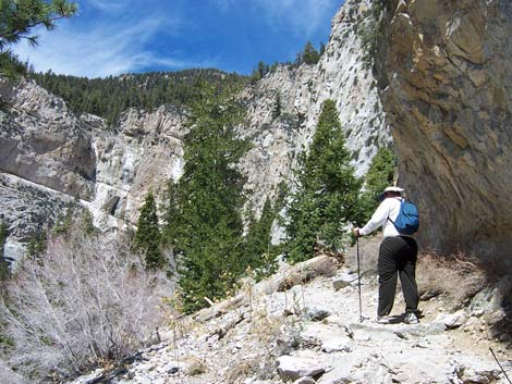 Hiker above switchbacks (view northwest) |
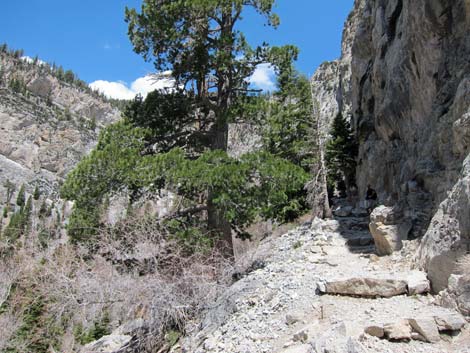 Trail above switchback at base of headwall (view NW) |
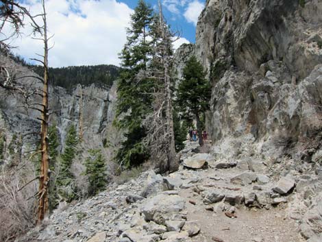 Trail above switchback at base of headwall (view NW) |
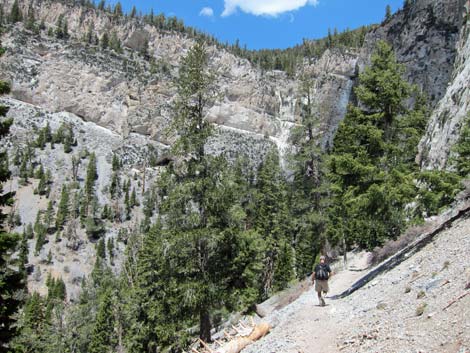 Hiker approaching base of falls (view NW) |
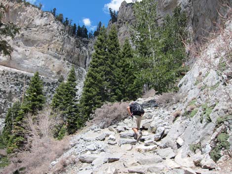 Hikers on steep, stone stairs (view NW) |
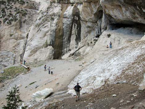 Hikers at base of Mary Jane Falls (view W) |
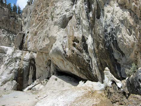 Base of Mary Jane Falls (view W) |
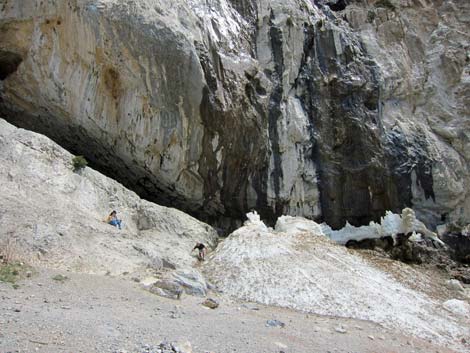 Base of MJ Falls with humans and ice (view N) |
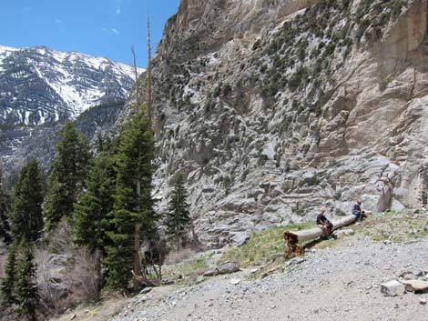 Hikers resting on log at base of falls (view SW) |
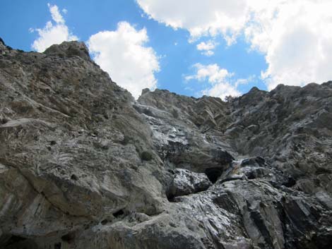 Mary Jane Falls (view straight up) |
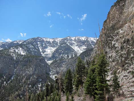 View south across Kyle Canyon |
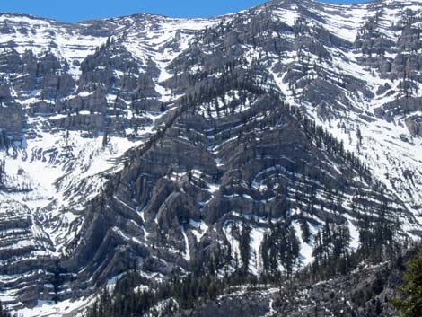 Note folded geology across Kyle Canyon (view S) |
Continuing to Mary Jane Cave
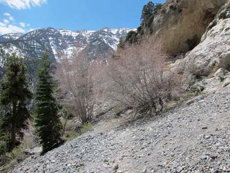 Trail to the cave (view SW) |
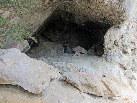 Cave beyond Mary Jane Falls (view NW) |
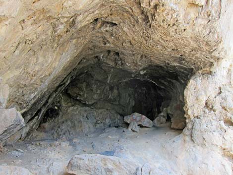 Inside Mary Jane Cave (view NW) |
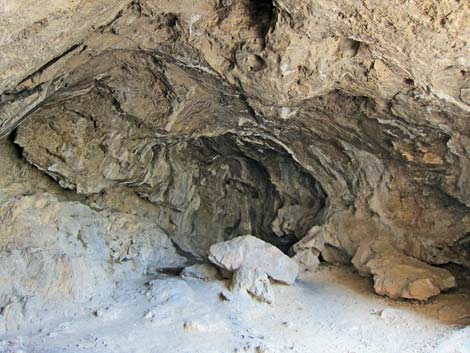 Inside Mary Jane Cave (view NW) |
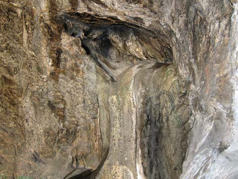 Flowstone at back of Mary Jane Cave (view NW) |
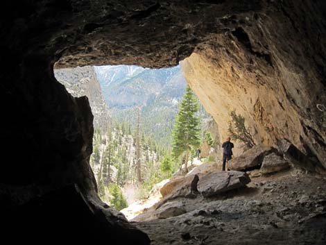 At back of Mary Jane Cave (view SE) |
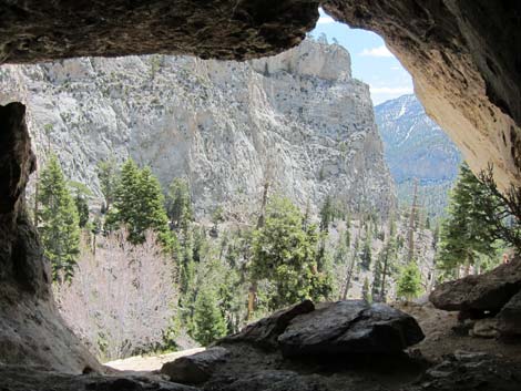 Inside Mary Jane Cave (view SE) |
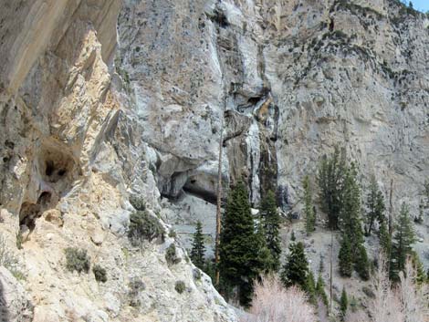 MJ Falls (view NE from cave entrance) |
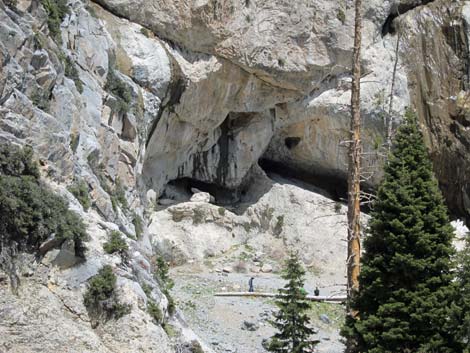 MJ Falls (view NE from trail to cave) |
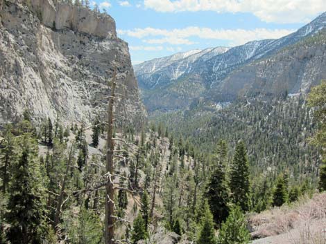 Kyle Canyon (view SE from trail to cave) |
Table 1. Hiking Coordinates Based on GPS Data (NAD27; UTM Zone 11S). Download Hiking GPS Waypoints (*.gpx) file.
| Wpt. | Location | UTM Easting | UTM Northing | Elevation (ft) | Point-to-Point Distance (mi) | Cumulative Distance (mi) | Verified |
|---|---|---|---|---|---|---|---|
| 01 | Mary Jane Falls Trailhead | 620226 | 4014221 | 7,817 | 0.00 | 0.00 | Yes |
| 02 | Big Falls Junction | 619453 | 4014946 | 8,124 | 0.72 | 0.72 | GPS |
| 03 | Base of Switchbacks | 619430 | 4014974 | 8,248 | 0.02 | 0.74 | GPS |
| 04 | Base of Headwall | 619507 | 4015191 | 8,518 | 0.63 | 1.37 | GPS |
| 05 | Mary Jane Falls | 619389 | 4015546 | 8,890 | 0.27 | 1.64 | Yes |
| 06 | Cave | 619312 | 4015476 | 8,738 | 0.08 | 1.72 | GPS |
Happy Hiking! All distances, elevations, and other facts are approximate.
![]() ; Last updated 250518
; Last updated 250518
| Hiking Around Mt Charleston | Hiking Around Las Vegas | Glossary | Copyright, Conditions, Disclaimer | Home |