
Hiking Around Las Vegas, Spring Mountains (Mt. Charleston)

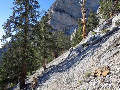 Approaching the Great SW Gully of McFarland Peak (view N) |
Bonanza Trail The Bonanza Trail (trail overview) runs 16 miles, north-south, along the crest of the Spring Mountain Range connecting Lee Canyon in the south with Cold Creek in the north. As described here, the trail runs from south to north and the description is broken into seven segments. For a description of the trail running the other direction (north to south), see Bonanza Trail Southbound. Note: AllTrails and other phone-mapping systems show the old version of this trail for this section, which was rerouted over a decade ago. Follow my map and the trail, not your phone, and you should be okay. |
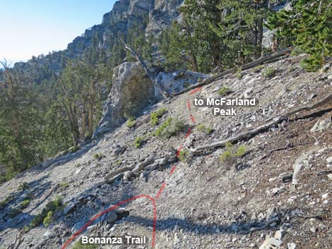 Switchback and start of use-trail to McFarland (view NW) |
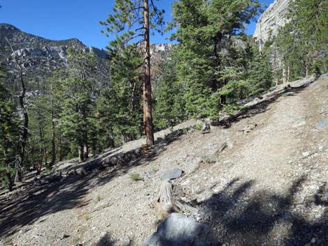
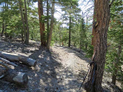
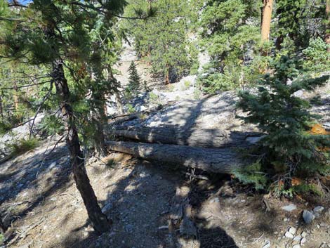
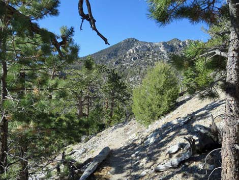
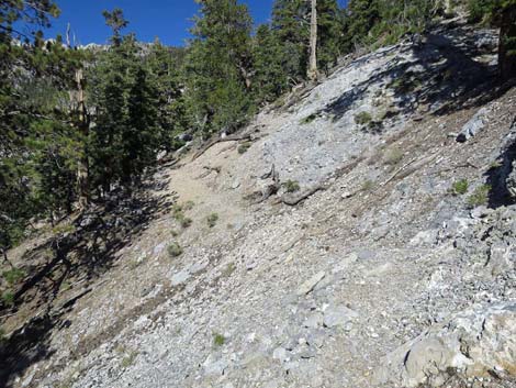
The Hike -- Segment 4 -- McFarland Peak Junction to McFarland Gully--NW (1.7 miles) From the McFarland Peak Trail Junction (Table 1, Wpt. 05), the trail drops through 6 short, steep switchbacks to cross the Great Southwest Gully that cuts the Southwest Face of McFarland Peak. The trail then continues northward traversing below the towering limestone West Face of McFarland Peak. At about 0.4 miles past the Great Southwest Gully, the trail runs out onto the crest of the West Ridge of McFarland Peak (Wpt. 06). The West Ridge of McFarland Peak (Wpt. 06) provides great views to the north and south. From this point (or from the top of a knob a few yards west of the trail), you can look north to see Wood Spring, the southwest side of Bonanza Peak, and parts of the trail getting there. You can also see Mt. Sterling far to the north and Mt. Charleston far to the south. The imposing west face of McFarland Peak and the route below it can be seen to the east, and Pahrump, Death Valley, and the Sierra Nevada Mountains can be seen to the west. |
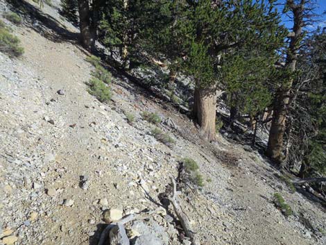 Turning a switchback (view SW) Turning a switchback (view SW) |
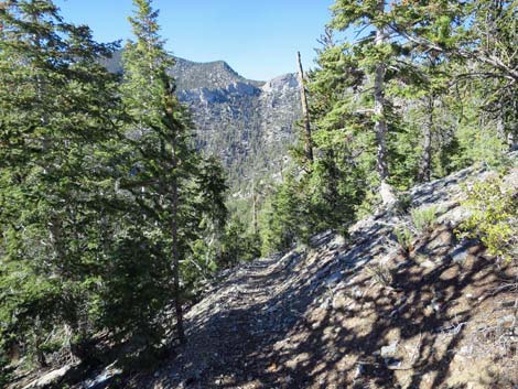
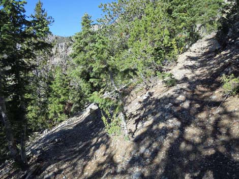
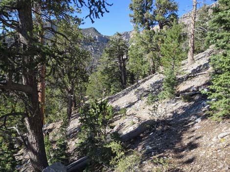
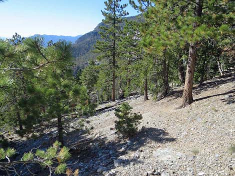
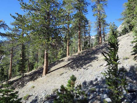
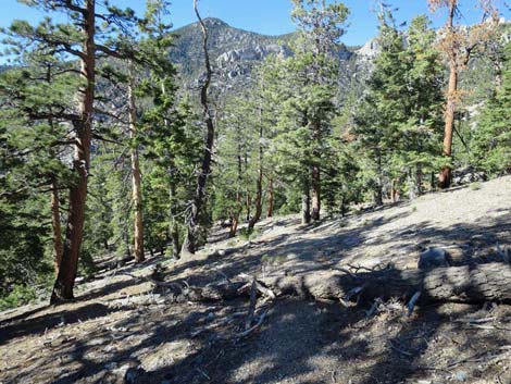
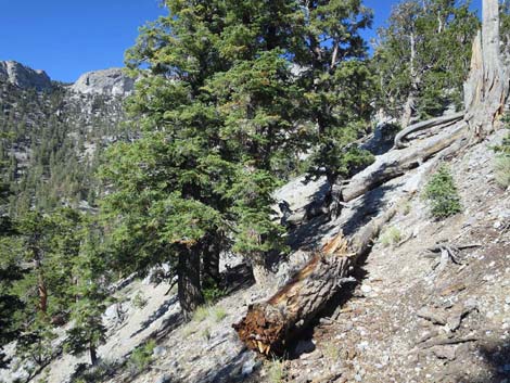
Turning the corner onto the north-facing side of the ridge, the trail begins switchbacking somewhat steeply down the side of the ridge. After dropping through 2 long and 2 short switchbacks, the trail makes a long descending traverse (with 2 tiny switchbacks) across the hillside below towering limestone cliffs to the top of 14 mostly steep, short switchbacks (Wpt. 07). After passing the insult of 14 poorly designed switchbacks, the trail rejoins the old trail low in the canyon and contours more gently into the Great Northwest Gully (Wpt. 08) that cuts the North Face of McFarland Peak (1.7 miles out). The trail crosses the wash at a point where, relatively speaking, the woods feel deep and dark with large ponderosa pine, white fir, bristlecone pine, and a few juniper shrubs (common juniper). |
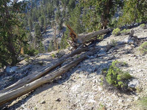 Trees down across the trail (view NW) |
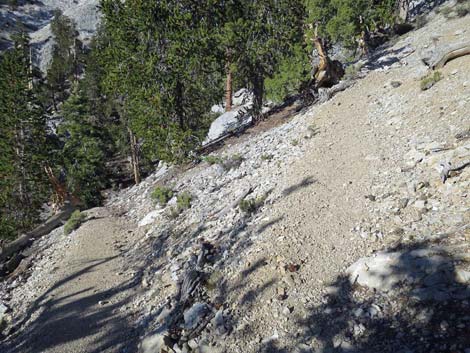 Descending the switchbacks (view NW) |
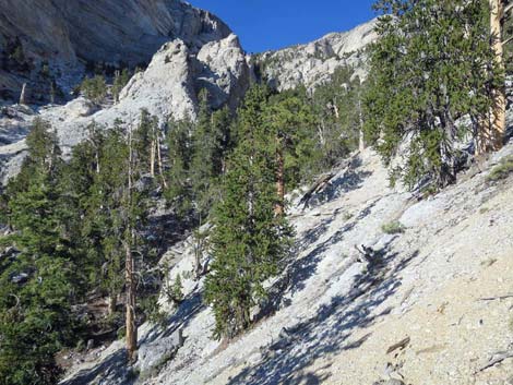 Looking up the Great Southwest Gully of McFarland Peak |
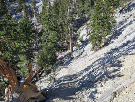 Approaching the Great Southwest Gully of McFarland Peak (view NW) |
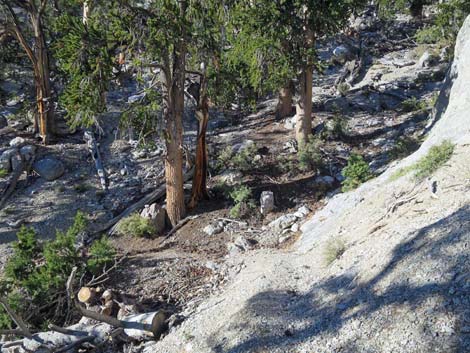 Crossing the Great Southwest Gully of McFarland Peak (view NW) |
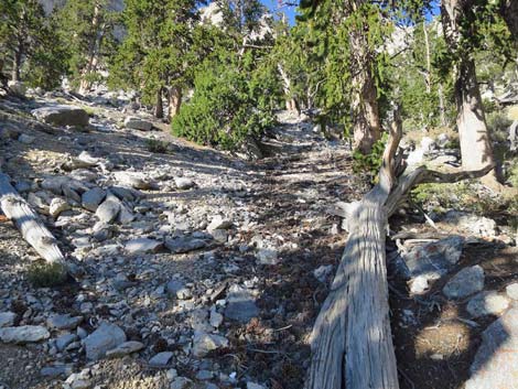 Looking straight up the Great Southwest Gully (view NE) |
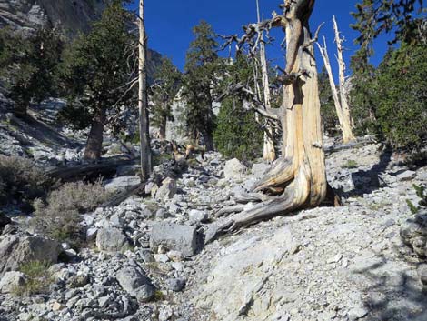 Looking straight up the Great Southwest Gully (view NE) |
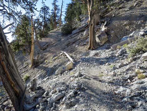 Exiting the Great Southwest Gully (view NW) |
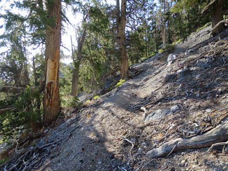 Steep climb (view NW) |
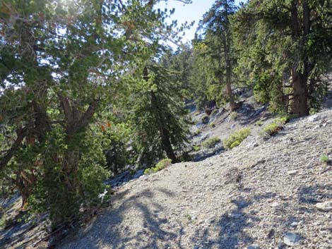 Traversing under the west face of McFarland (view NW) |
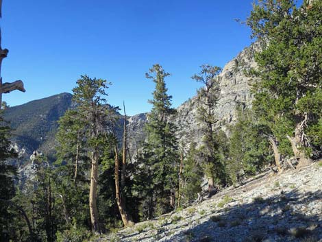 Traversing under the west face of McFarland (view NW) |
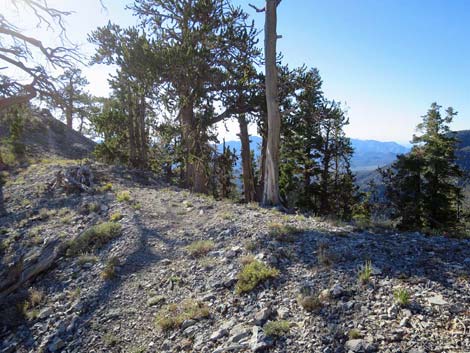 End of traverse around west face of McFarland (view NW) |
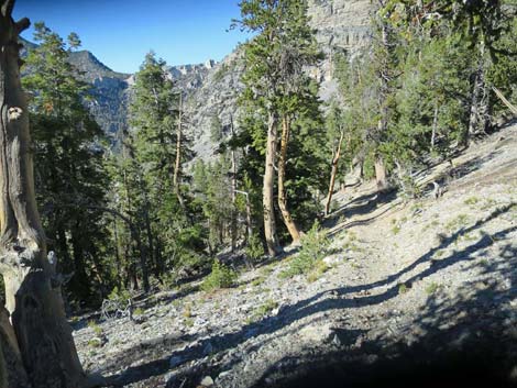 Beginning of descent under northwest face of McFarland (view NE) |
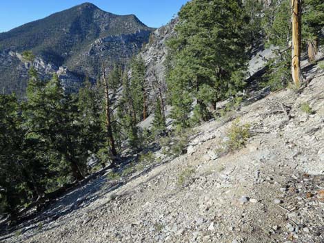 Descending under the northwest face of McFarland (view NE) |
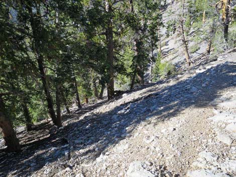 |
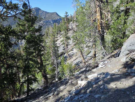 |
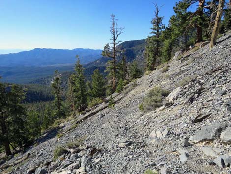 |
 |
 |
 |
 |
 |
 |
 |
 |
 |
 |
 |
 |
 |
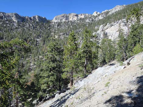 Scenery up the canyon (view NE) |
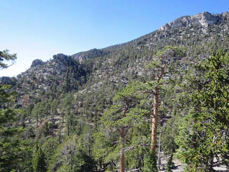 Scenery across the canyon (view N towards trail) |
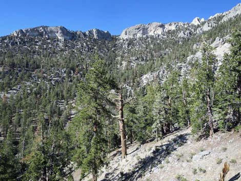 Scenery across canyon (view NE towards trail) |
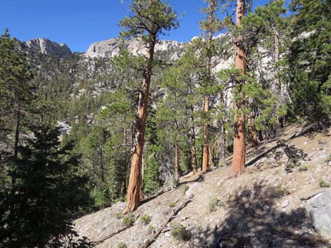 Lots of Ponderosa Pines |
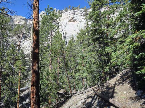 |
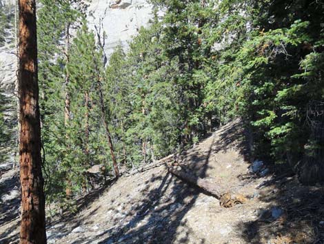 |
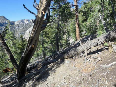
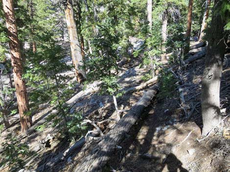 Another log down across the trail (view NE) |
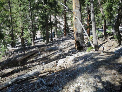 Descending into gully on NW side of McFarland Peak (view N) |
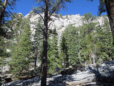 Crossing gully on NW side of McFarland Peak (view N) |
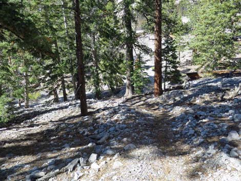 Crossing gully on NW side of McFarland Peak (view N) |
Happy Hiking! All distances, elevations, and other facts are approximate.
![]() ; Last updated 240326
; Last updated 240326
| Hiking Around Mt Charleston | Hiking Around Las Vegas | Glossary | Copyright, Conditions, Disclaimer | Home |