
Hiking Around Las Vegas, Spring Mountains (Mt. Charleston)

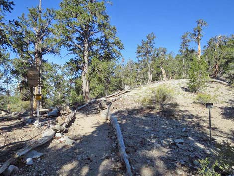 Saddle at Crest of the Spring Mountains Range (view NW) |
Bonanza Trail The Bonanza Trail (trail overview) runs 16 miles, north-south, along the crest of the Spring Mountain Range connecting Lee Canyon in the south with Cold Creek in the north. As described here, the trail runs from south to north and the description is broken into seven segments. For a description of the trail running the other direction (north to south), see Bonanza Trail Southbound. |
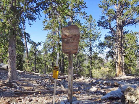 Wilderness Boundary sign (view SW) Wilderness Boundary sign (view SW) |
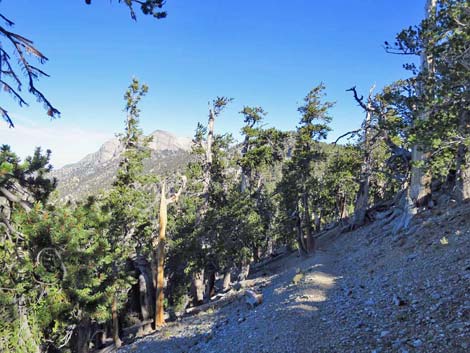
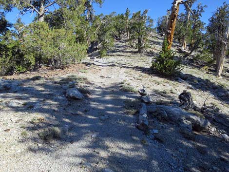
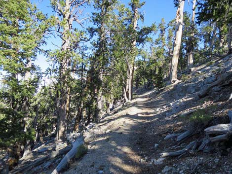
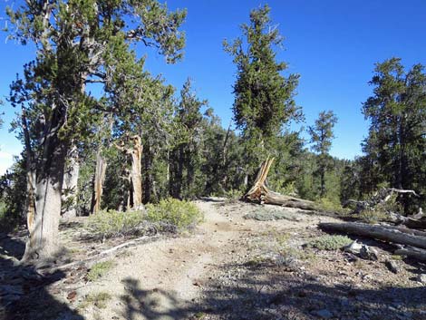
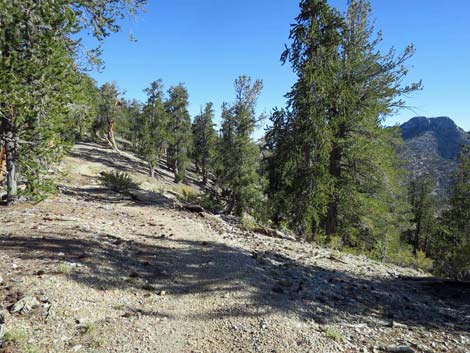
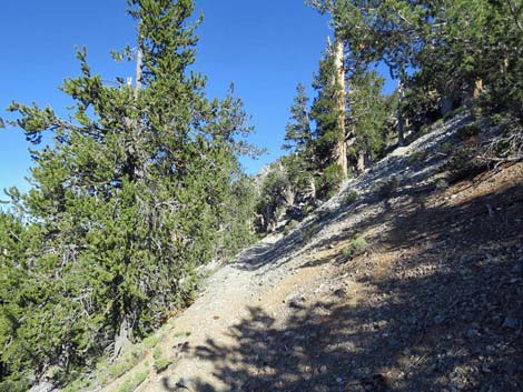
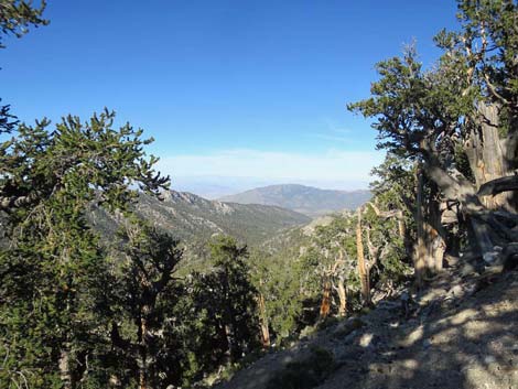
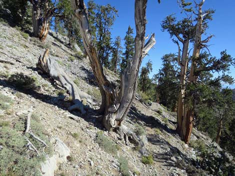
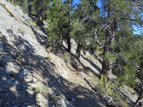
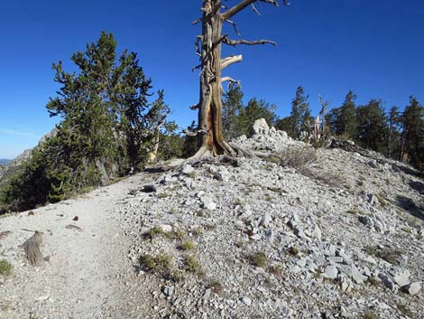
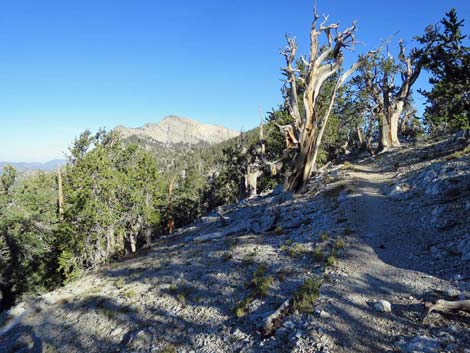
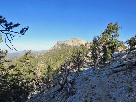
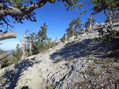
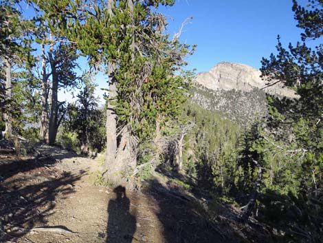
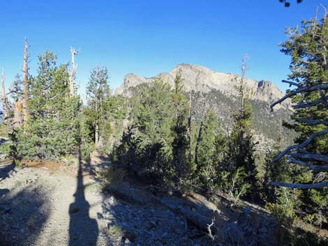
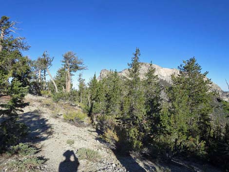
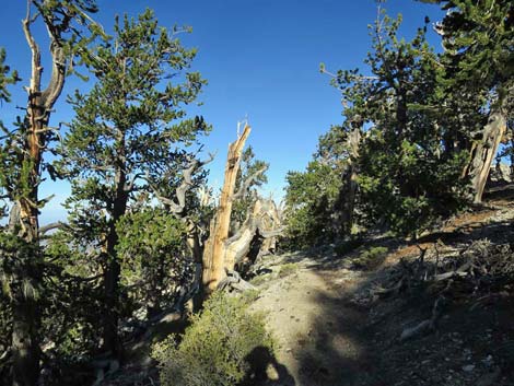
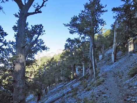
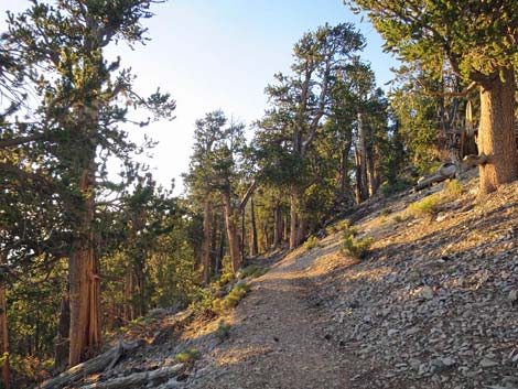
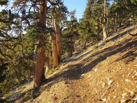
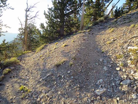
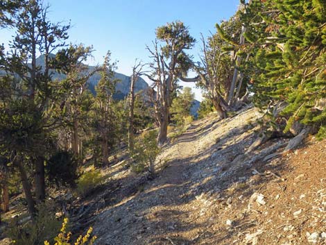
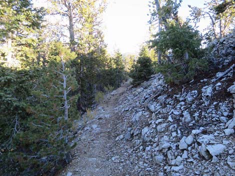
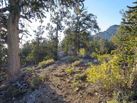
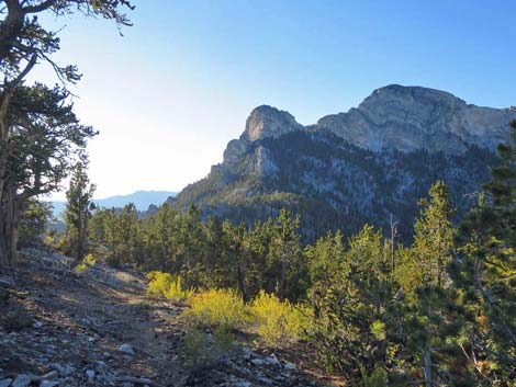
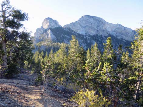
The Hike -- Segment 3 -- Crest of the Range to McFarland Peak Junction (3.0 miles) At the saddle (Table 1, Wpt. 03), the trail turns north and climbs many stone waterbars that act like big stairs on a strenuous section, but they pass in 5 minutes or so. The trail generally runs north with a few short, steep sections, but mostly the grade is leisurely. There are great views in all directions from the crest, but the ancient bristlecone forest is so thick that it tends to obscure the expansive views familiar to desert hikers. Along the ridgeline, the trail runs over hills, around knobs, and across saddles for about 2.5 miles to the base of the South Ridge of McFarland Peak (Wpt. 04). At the base of McFarland Peak (Wpt. 04), USGS topo maps show that the trail turns south and heads down a long series of switchbacks on the west side of the peak before making a big loop to the north side of the peak. This is no longer the case; the trail has been re-routed and shortened. |
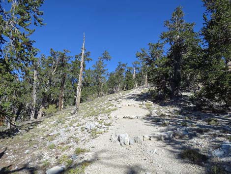 Current stone stairs (water bars) on ridgeline (view N) |
Now, when the trail on the crest gets to the base of the South Ridge (Wpt. 04), it continues running northwest more-or-less on the contour (slight downgrade) until near the great gully that cuts the Southwest Face of McFarland Peak. The trail contours gently downward, then reaches the top of six switchbacks (Wpt. 05). At this point, a use-trail to McFarland Peak continues straight off the point of the switchback and then upward, while the Bonanza Trail turns back to the left and starts down the switchbacks. |
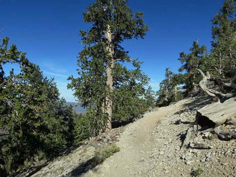 |
 |
 |
 |
 |
 |
 |
 |
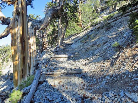 Steep section of trail (view N) |
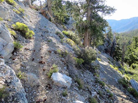 Narrow trail and switchbacks (view E) |
 |
 |
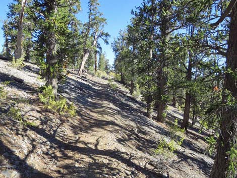 Trail through Bristlecone Pine forest (view N) |
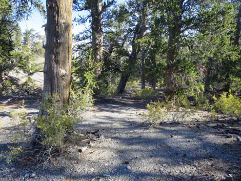 Campsite with space for three tents (view NE) |
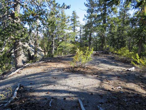 Campsite (view NE) |
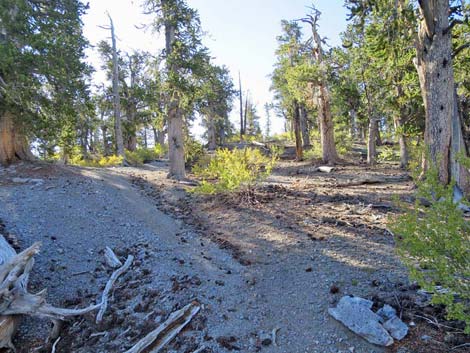 Campsite (view NE) |
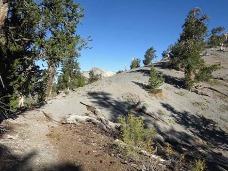 |
 |
 |
 |
 |
 |
 |
 |
 |
 |
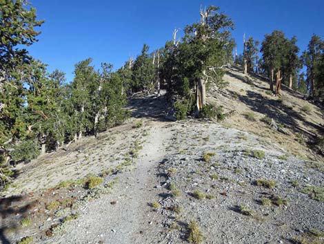 Trail on the crest of the range (view N) |
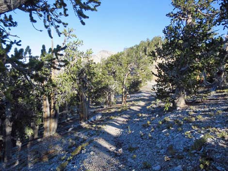 Trail on the crest of the range (view N) |
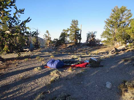 Leave-No-Trace campsite (view W) |
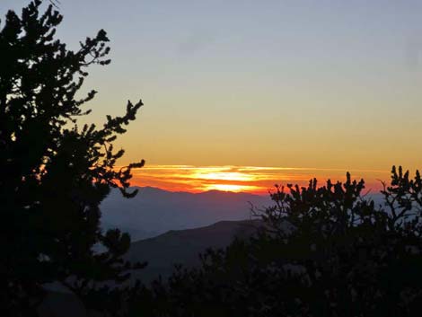 Sunset (view W) |
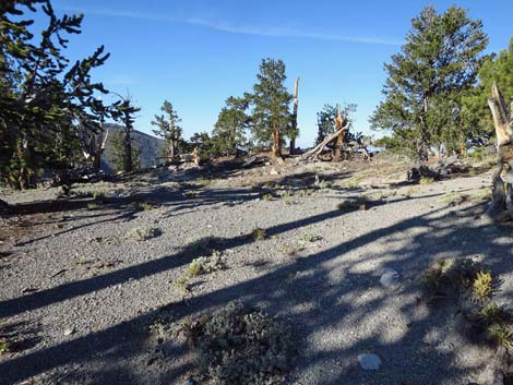 Leave-No-Trace campsite; after (view W) |
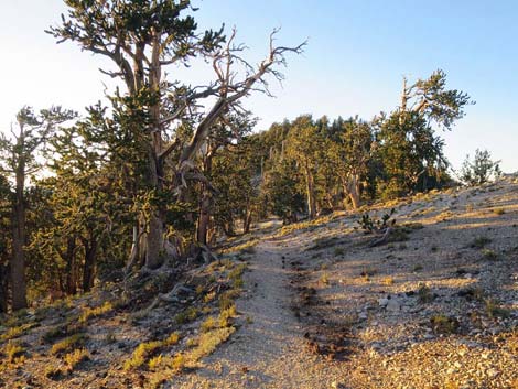 Trail on the crest of the range (view N) |
 |
 |
 |
 |
 |
 |
 |
 |
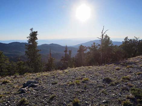 Sun low in the western sky (view W) |
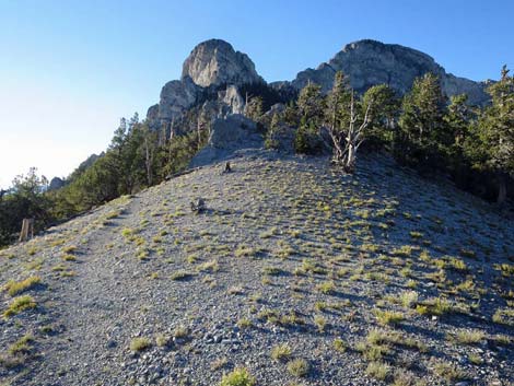 Approaching the descent onto the west-facing slope |
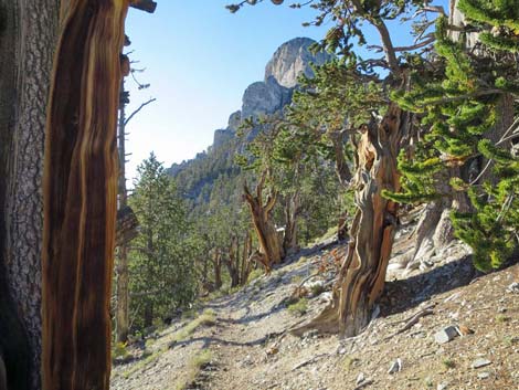 Beginning traverse around west face of McFarland Peak (view N) |
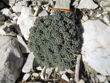 Curious plant along the trail |
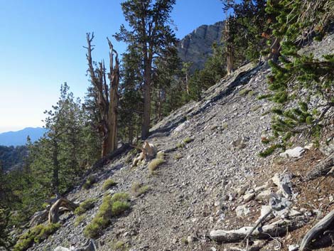 Traversing around west face of McFarland Peak (view N) |
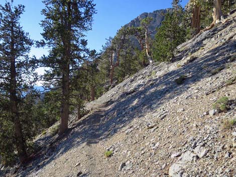 Traversing around west face of McFarland Peak (view N) |
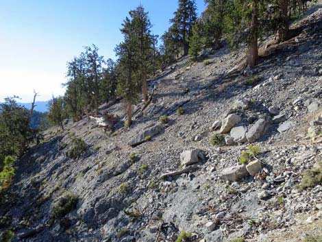 |
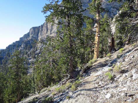 |
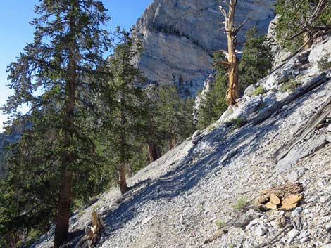 Traversing around west face of McFarland Peak (view N) |
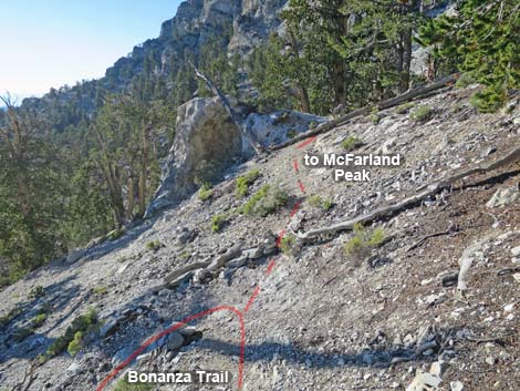 Switchback and start of route to McFarland (view NW) |
Happy Hiking! All distances, elevations, and other facts are approximate.
![]() ; Last updated 240326
; Last updated 240326
| Hiking Around Mt Charleston | Hiking Around Las Vegas | Glossary | Copyright, Conditions, Disclaimer | Home |