
Hiking Around Las Vegas, Mojave National Preserve

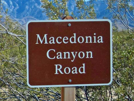 |
Overview Macedonia Canyon Road is a 4WD road that runs east-west between the paved Kelso-Cima Road (Kelso Depot area) and Wild Horse Road (Hole-in-the-Wall area). Towards the pavement, the road was graded dirt, but farther up in the canyon, the road runs in a sandy wash. In my jeep, I've driven it both ways in 2WD, but there is so much soft sand that it would be quite unwise to drive the road in a 2WD-HC vehicle. This road provides access to hikes, ranches, and primitive camping areas in the Panamint Mountains, as well as a "short-cut" (well, perhaps an interesting alternative route) between Hole-in-the-Wall and Kelso. Link to map. |
 |
Watch Out Other than the standard warnings about being in the desert, ... the road is easy in a 4WD vehicle, and much of the lower road should be passable in a carefully driven 2WD-HC vehicle. If driving a 2WD vehicle, inquire locally and use your own good judgment about road conditions, as the road is sandy and subject to washouts. Otherwise, this is a relatively safe road with no unusual hazards. Note that the railroad underpass is a bit low. Not-too-tall vehicles can get under the tracks, but the Park Rangers once left a light bar here. While out in the desert, please respect the land and the other people out there, and try to Leave No Trace of your passage. Also, the area is remote, so be sure to bring the 10 Essentials. |
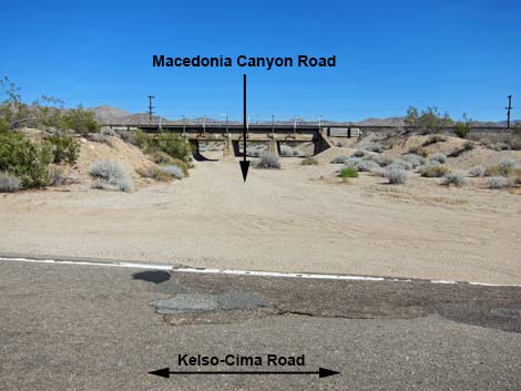 Macedonia Canyon Road (view E from Kelso-Cima Rd) |
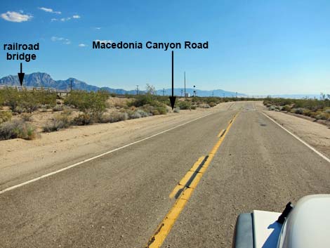
Getting to the Road This road is located in Mojave National Preserve, about 2 hours south of Las Vegas. From town, drive south on I-15 to Mojave National Preserve. The west end of Macedonia Canyon Road is accessed from the paved Kelso-Cima Road (Table 1, Site 1476), and the east end is accessed from the dirt Wild Horse Road (Site 1478). The Road From the pavement on Kelso-Cima Road (Site 1476), Macedonia Canyon Road turns southeast into a sandy wash and passes under the railroad tracks that parallel the pavement. |
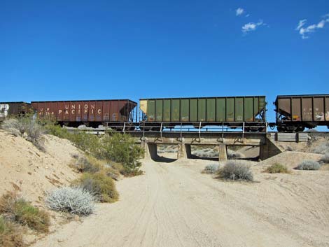 Macedonia Cyn. Rd uses wash under railroad tracks |
Emerging from under the tracks, the road runs smooth and easy to the southeast and in about 100 yards passes through an old gate in a barbed-wire fence marked with a Macedonia Canyon Road sign. The road continues to run smooth and easy, and eventually bends left, but still runs southeast. There is a little sand on this section, but it serves mainly to smooth out the bumps. The vegetation here is typical of mid-elevation Mojave Desert (Upper Sonoran Life Zone) with lots of Creosote Bush, White Bursage, Brittlebush, and Mojave Yucca. At about 2.5 miles out, the road bends left to run due east up the bajada. Then, in another 0.5 miles, the road bends to the right and begins to angle up and across washes, now heading southeast again. |
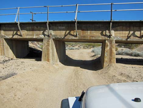 Road passes under railroad bridge |
At about 3.75 miles, the road arrives at a signed intersection (Site 1506). The road straight ahead seem to run to a ranch, but Macedonia Canyon Road turns left. Beyond the turn, the road runs northeast to climb the bajada. Near the base of the mountains, the road becomes more sandy, and by 4.8 miles out when the road enters Macedonia Canyon, the road is quite sandy. The canyon is fairly narrow in some spots, but it generally is an open canyon with a sandy wash and typical wash vegetation (e.g., Desert Willow, Honey Mesquite, Desert Almond). At about 6.3 miles out, the road turns right out of the sandy wash to climb the hillside, pass over a novel cattle guard, and arrive at Wild Horse Canyon Road (Site 1478). This is the edge of the old burn zone (Pinyon-Juniper Woodland Life Zone) where almost all of the Singleleaf Pinyon and California Juniper burned some years ago. It is interesting to see it recovering. |
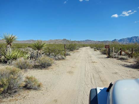 Initial roadway is firm sand |
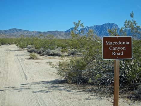 Road sign at fence |
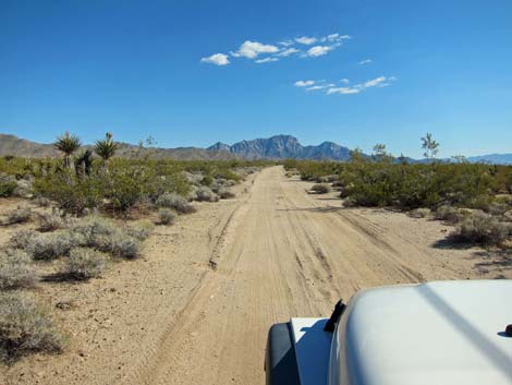 |
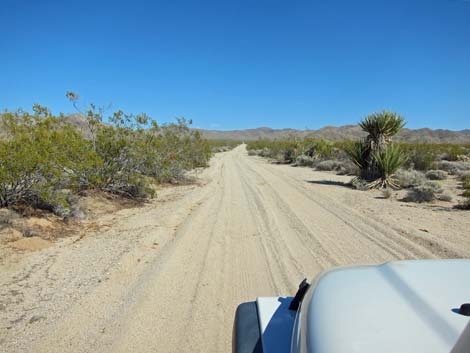 |
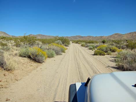 Roadway becomes more sandy |
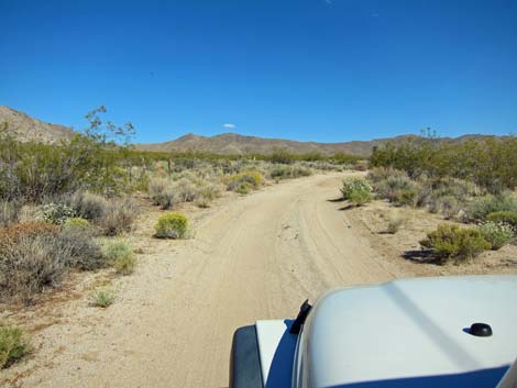 Road curves to the SE |
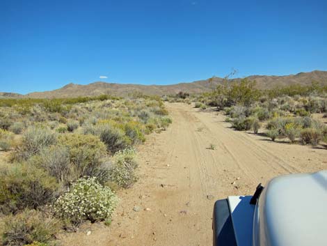 Turning south to traverse the bajada |
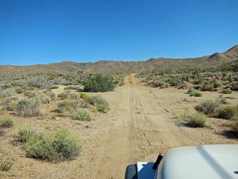 Crossing a broad wash |
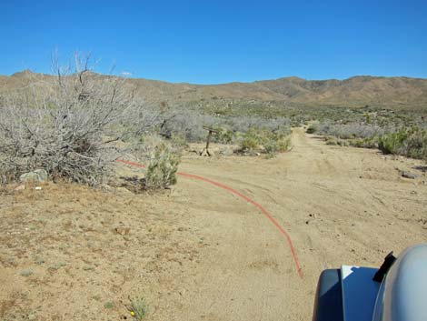 Road intersection; Macedonia Canyon Rd turns left |
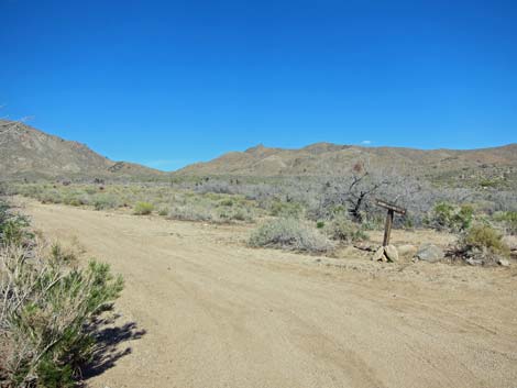 Turning left on Macedonia Canyon Rd (note road sign) |
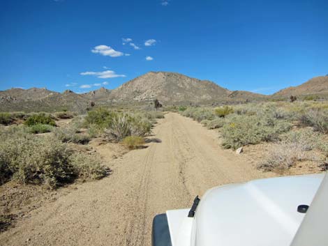 Road climbs the bajada ... |
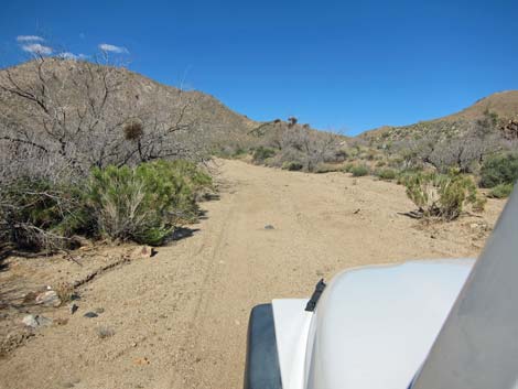 ... and becomes more sandy |
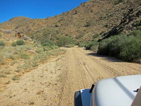 Entering Macedonia Canyon, proper |
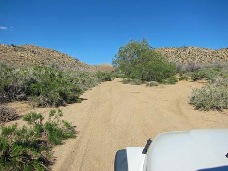 Deep sand |
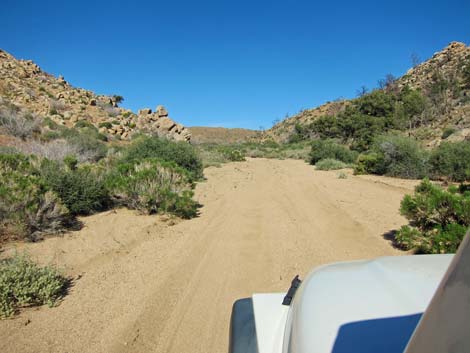 Deep sand |
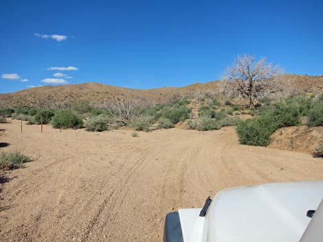 Road turns out of wash |
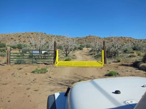 Interesting design for a cattle guard; cross slowly |
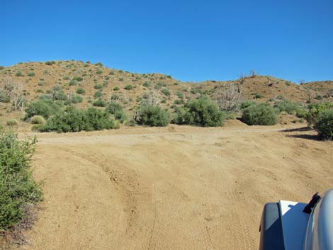 Macedonia Canyon Road at Wildhorse Road |
Macedonia Canyon Road - Westbound
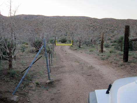 Macedonia Canyon Rd near Wild Horse Road (view NW) |
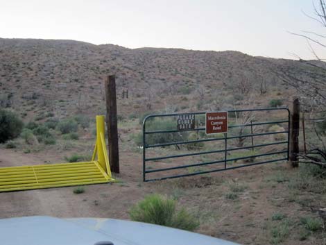 Macedonia Canyon Rd on gate at cattle guard |
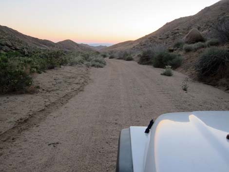 Sandy wash (view SW) |
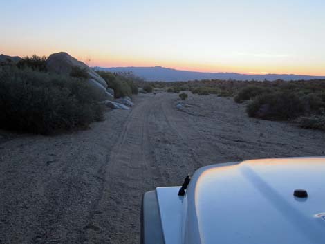 Sunset in the Mojave Desert (view SW) |
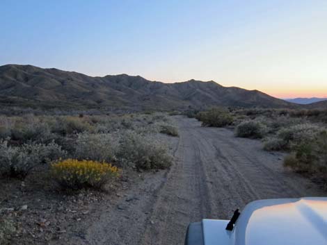 Sandy wash (view SW) |
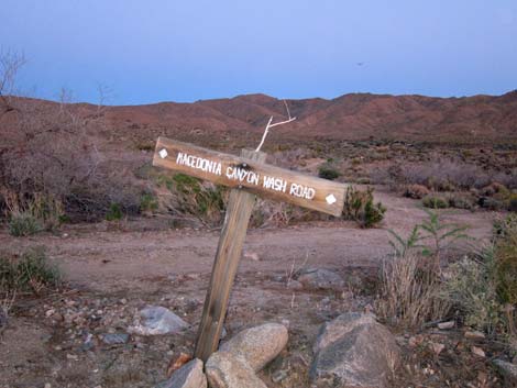 Sign at road intersection (view S) |
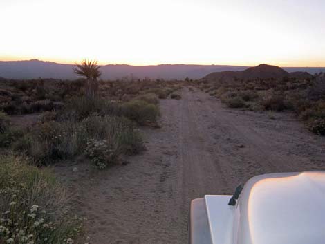 Crossing broad washes (view NW) |
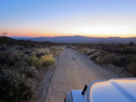 Smooth, straight road (view NW) |
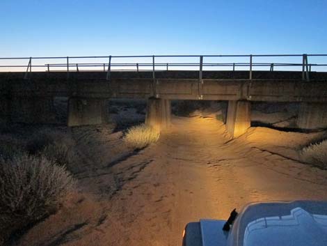 Approaching railroad underpass (view NW) |
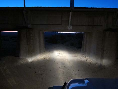 Railroad underpass (view NW) |
Table 1. Highway Coordinates Based on GPS Data (NAD27; UTM Zone 11S). Download Highway GPS Waypoints (*.gpx) file.
| Site | Location | UTM Easting | UTM Northing | Latitude (N) | Longitude (W) | Elevation (ft) | Verified |
|---|---|---|---|---|---|---|---|
| 1476 | Kelso-Cima Rd at Macedonia Canyon Rd | 632168 | 3885015 | 35.10107 | 115.54991 | 3,103 | GPS |
| 1478 | Wild Horse Rd at Macedonia Canyon Rd | 640789 | 3882685 | 35.07889 | 115.45575 | 4,965 | GPS |
| 1506 | Macedonia Cyn Rd at Turn | 636945 | 3881958 | 35.07287 | 115.49802 | 3,967 | GPS |
Happy Hiking! All distances, elevations, and other facts are approximate.
![]() ; Last updated 240329
; Last updated 240329
| Backroads | Hiking Around Mojave Preserve | Hiking Around Las Vegas | Glossary | Copyright, Conditions, Disclaimer | Home |