
Hiking Around Las Vegas, Mojave National Preserve

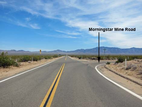 Ivanpah Road at Morning Star Mine Road (view SE) |
Overview Morning Star Mine Road runs southwest 15 miles from Ivanpah Road to Cima. The road technically "ends" at a 3-way intersection with Kelso-Cima Road and Cima Road, but the road simply changes names and continues southwest without interruption. The entire road is paved and normally is fine for sedans, but it can become washed out during storms and the pavement needs a bit of work. This road provides access to central portions of the Mojave National Preserve, but it primarily serves as a highway connecting southern California (e.g., Palm Springs, 29 Palms) with Las Vegas. Link to map. |
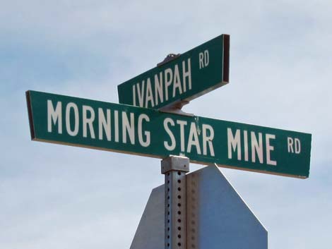 Ivanpah - Morning Star Mine street signs |
Watch Out Other than the standard warnings about the desert, ... the road is fine for sedans. Use your own good judgment about the road conditions, as the road is subject to washouts. The road is posted at 55 mph, but pay extra attention on rough sections of pavement. While out in the desert, please respect the land and the other people out there, and try to Leave No Trace of your passage. Also, the area is remote, so be sure to bring the 10 Essentials. The road runs through prime Desert Tortoise habitat, so always keep an eye out for tortoises on the road - focus on looking for little ones! |
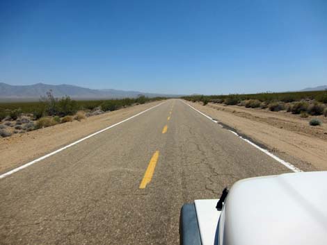 Morning Star Mine Road (view SW) |
Getting to the Road This road is located in California, about 1 hour south of Las Vegas. From town, drive south on I-15. From Primm, Nevada, drive south 9.5 miles. Exit the interstate onto Nipton Road (Exit 286) and drive east 3.6 miles. Turn right onto Ivanpah Road and drive southeast 3.2 miles to Morning Star Mine Road, on the right. The Road From Ivanpah Road (Table 1, Site 1265), Morning Star Mine Road runs southwest and out across the wildness of the Mojave Desert, climbing towards the horizon at a gradual pace. At about 6.5 miles out, the road passes an historic corral and water tank on the left. Unfortunately, this has become a target for graffiti in recent years. |
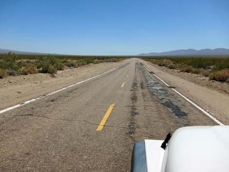 Expansive scenery (view SW) |
Morning Star Mine Road continues southwest until curving left and running south through an area thick with Eastern Joshua Trees, some of which are quite tall. The road runs south until it nears railroad tracks. Notice on the left that there was a recent 40-acre wildfire (May 2013); it will be interesting to watch the vegetation recover over the decades. In 2020, the Dome Fire burned up the right side of the road obliterating the spectacular Joshua Tree forest in this area. After curving right to avoid the railroad tracks, the road soon arrives at a 3-way intersection (Site 0831) with Kelso-Cima Road and Cima Road where this road, technically, ends. |
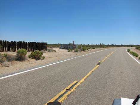 Historic corral and water tank (view SW) |
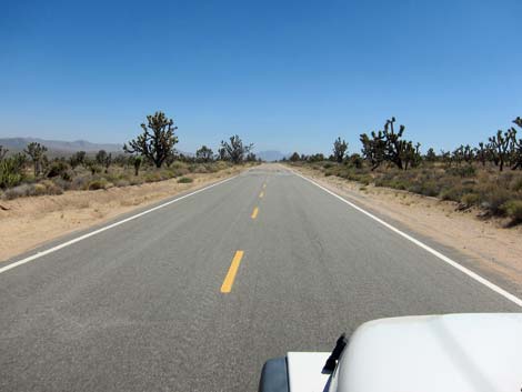 Some sections of the road are nice and smooth (view SW) |
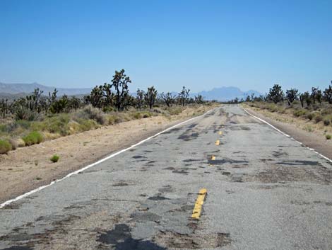 Some sections of the road are quite rough (view S) |
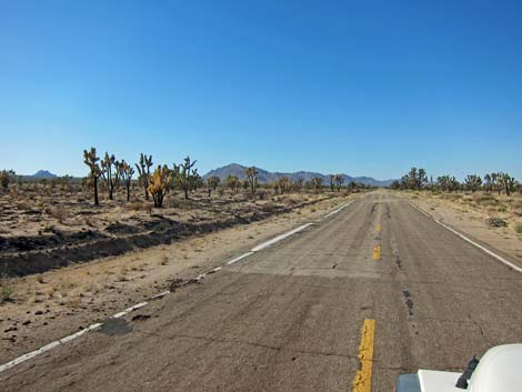 Small wildfire near Cima (2013) |
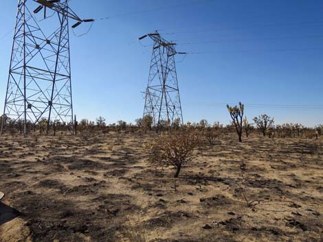 Massive Dome Fire (2020) |
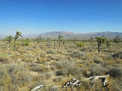 Unburned side of the road after Dome Fire (2020) |
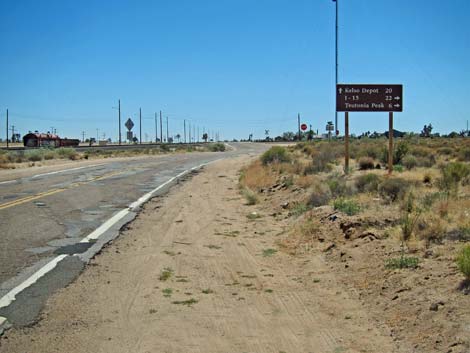 Approaching Cima (view S) |
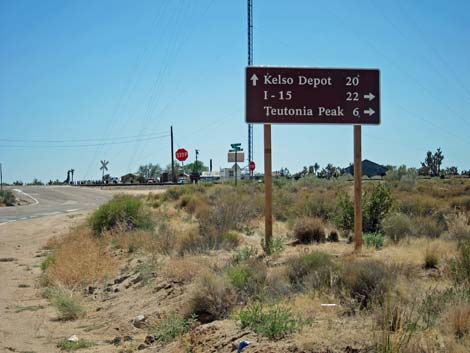 Distances to points of interest (view SE) |
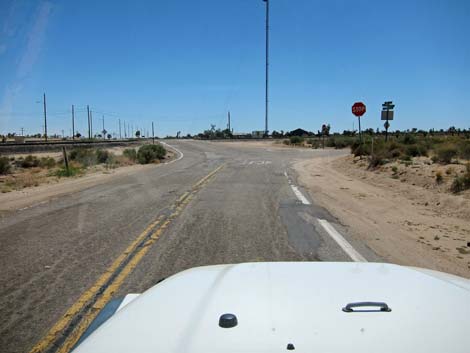 3-way intersection: Cima, Kelso-Cima, Morning Star Mine (view SW) |
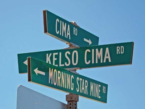 3-way intersection street signs at Cima |
Table 1. Highway Coordinates Based on GPS Data (NAD27; UTM Zone 11S). Download Highway GPS Waypoints (*.gpx) file.
| Site | Location | UTM Easting | UTM Northing | Latitude (N) | Longitude (W) | Elevation (ft) | Verified |
|---|---|---|---|---|---|---|---|
| 0831 | Kelso-Cima Rd at Cima | 636500 | 3900110 | 35.23656 | 115.49990 | 4,176 | Yes |
| 1265 | Ivanpah Rd at Morning Star Rd | 647358 | 3919902 | 35.41342 | 115.37706 | 2,837 | Yes |
Happy Hiking! All distances, elevations, and other facts are approximate.
![]() ; Last updated 240329
; Last updated 240329
| Backroads | Hiking Around Mojave Preserve | Hiking Around Las Vegas | Glossary | Copyright, Conditions, Disclaimer | Home |