Hiking Around Las Vegas, Mojave National Preserve
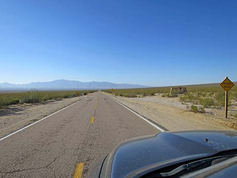
 Nipton Road approaching Ivanpah Road (view SE) |
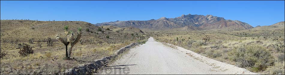
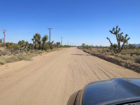
Overview Ivanpah Road runs south from Nipton Road over the New York Mountains into the Lanfair Valley. Ivanpah Road technically "ends" when it reaches Cedar Canyon Road, where the road changes name to Lanfair Road. It's the same road, however, and it continues south to Goffs without interruption. Ivanpah Road is mostly paved for 12 miles, and then it is graded dirt for the remaining 17.7 miles to Cedar Canyon Road. The road normally is fine for sedans during the dry season, but it can become washed out during storms. This road provides access to eastern portions of the Mojave National Preserve and connects to roads leading to Caruthers Canyon. Link to map. |
 Ivanpah Road (view S from Nipton Road) |
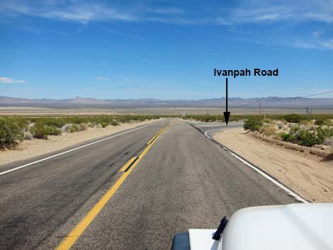
Watch Out Other than the standard warnings about the desert, ... the road is safe in a sedan depending on storms and washouts. Inquire locally about current conditions. While out in the desert, please respect the land and the other people out there, and try to Leave No Trace of your passage. Also, the area is remote, so be sure to bring the 10 Essentials. The road runs through prime Desert Tortoise habitat, so always keep an eye out for tortoises on the road - focus on looking for little ones! Getting to the Road This road is located in California, about 1 hour south of Las Vegas. From town, drive south on I-15. From Primm, Nevada, drive south 9.5 miles. Exit the interstate onto Nipton Road (Exit 286) and drive east 3.6 miles to Ivanpah Road, on the right. |
 Approaching Mojave National Preserve boundary sign (view S) |
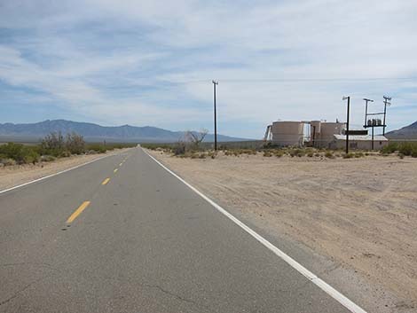
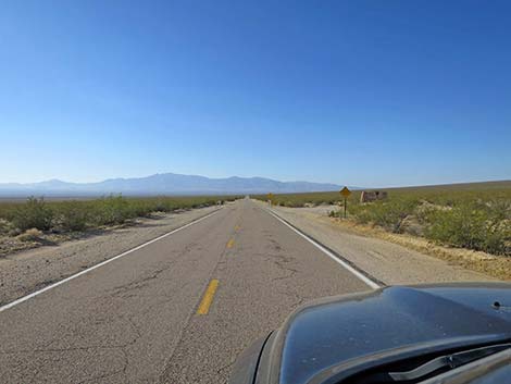
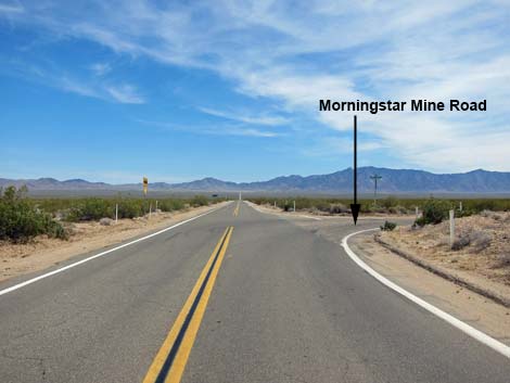
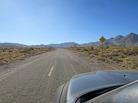
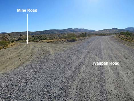
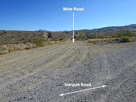
The Road From Nipton Road (Table 1, Site 1264), Ivanpah Road runs south, passing old industrial facilities near the intersection, and out into the wildness of the Mojave Desert. At about 0.5 miles out, the road enters Mojave National Preserve, and at 3.2 miles, it passes Morningstar Mine Road (Site 1265), which runs southwest towards the central part of the Preserve. Ivanpah Road continues southeast towards a low spot in the bottom of the valley, but heading towards the New York Mountains, which are visible on the skyline. Most of this road segment is paved with rough spots, but parts were washed out and are now gravel. Some of the asphalt is so rough that it is covered with gravel too. At about 9.6 miles out, Ivanpah Road crosses railroad tracks, then bends left to parallel the tracks. In this area, the results of the 2023 York Fire are visible on the right. Before long, the road curves away from the tracks and starts into the mountains, and at 12.0 miles out, the pavement ends (Site 1266). |
 Approaching Mojave National Preserve boundary sign (view S) |
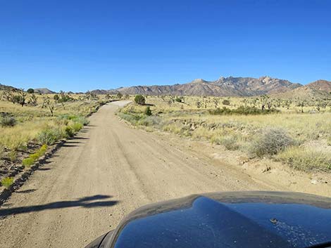
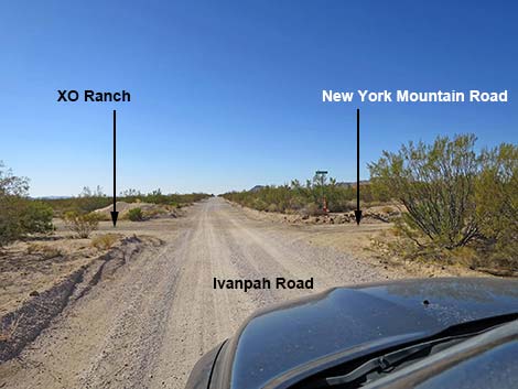
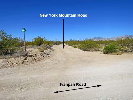
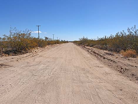
Ivanpah Road continues generally south as it winds into the mountains as a well-maintained dirt road normally suitable for sedans. During stormy weather, the road can wash out. After 4.8 miles on the dirt, Ivanpah Road reaches Hart Mine Road and the historic townsite of Barnwell, on the left, which appears to still be inhabited. After winding down out of the mountains into Lanfair Valley, the road runs south-southeast to reach New York Mountain Road (Site 1259; 12.3 miles on the dirt) on the right and the historic XO Ranch on the left. Preserve managers have tentative plans to convert the ranch house into the "east-side" visitor center to focus on the history of cattle ranching in the area. New York Mountain Road connects with Caruthers Canyon Road. |
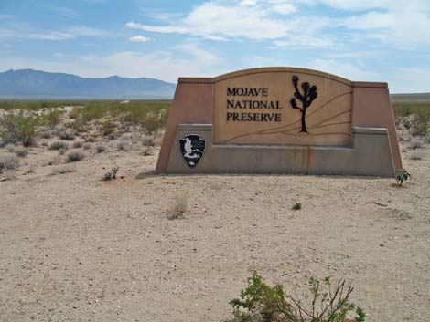 Mojave National Preserve boundary sign (view S) |
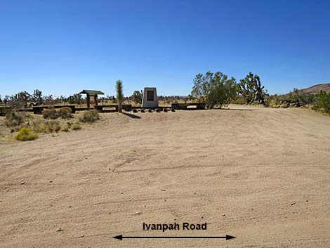
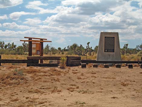
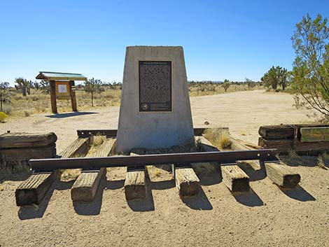
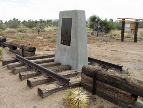
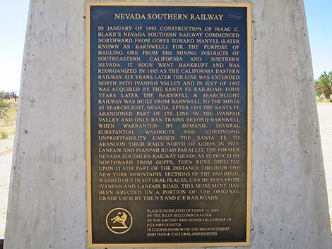
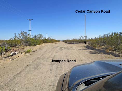
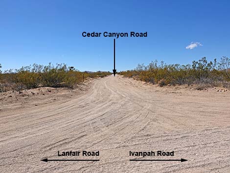
Continuing, Ivanpah Road reaches the Nevada Southern Railway monument (Site 1475; 16.8 miles on the dirt), which also marks the point where the historic Mojave Road crosses Ivanpah Road. Continuing south-southeast, Ivanpah Road eventually reaches Cedar Canyon Road (Site 1470; 17.7 miles on the dirt), on the right. Cedar Canyon Road runs west into central portions of the Preserve. Although the same dirt road continues south, the road name changes to Lanfair Road. Lanfair Road continues south to the pavement and then Goffs, California. |
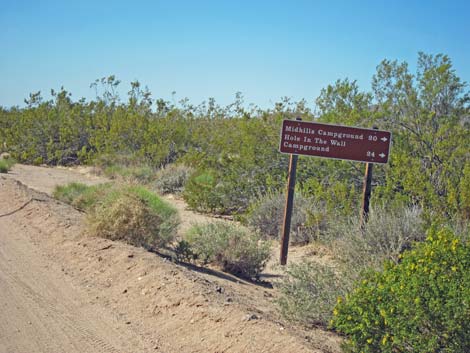
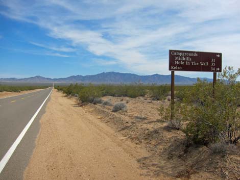 Directional sign (view SE) |
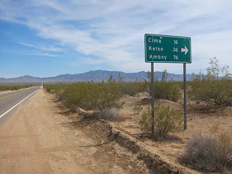
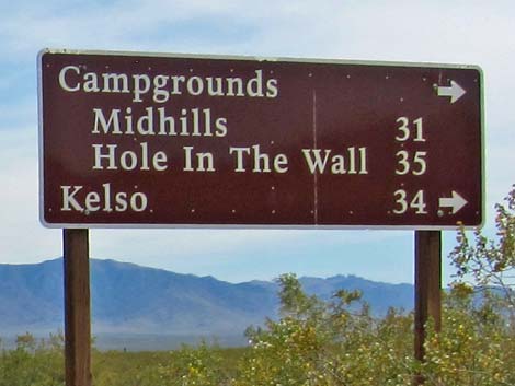 Distances to recreational points of interest (view SE) |
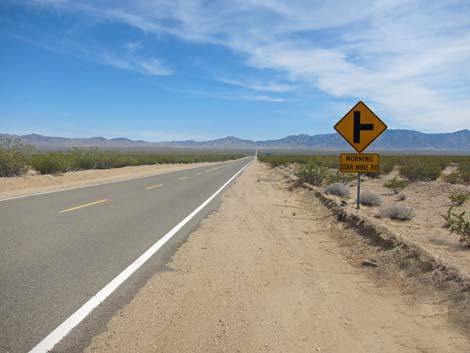 Ivanpah Road approaching Morningstar Mine Road (view SE) |
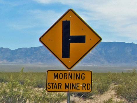 Caution sign: Morningstar Mine Road T-intersection (view SE) |
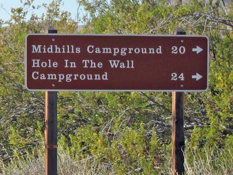
 Distances to points of interest (view SE) |
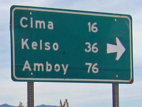 Sign: distances to points of interest |
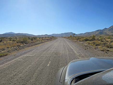
 Ivanpah Road approaching Morningstar Mine Road (view SE) |
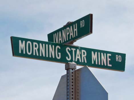 Street signs: Ivanpah Road at Morningstar Mine Road (view SE) |
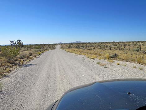
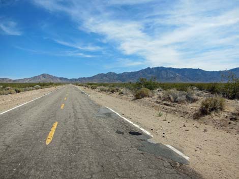 Ivanpah Road continues south; some pavement is rough (view SE) |
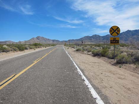 Ivanpah Road approaching railroad tracks (view SE) |
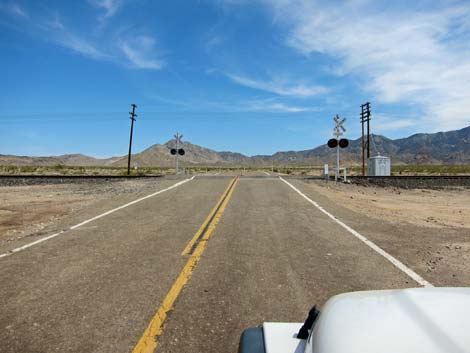 Ivanpah Road at railroad tracks (view SE) |
 Just past the tracks, the road curves left (view S) |
 On the curve, edge of the York Fire from 2023 (view S) |
 Sign: Unmaintained road, use at own risk (view SE) |
 Pavement finally ends once and for all (view SE) |
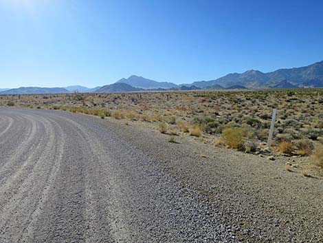
 The road continues as gravel the rest of the way (view SE) |
 Ivanpah Road at a mine road (view SE) |
 Mine road (view NE from Ivanpah Road) |
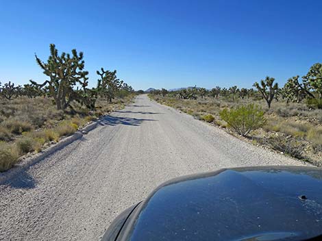
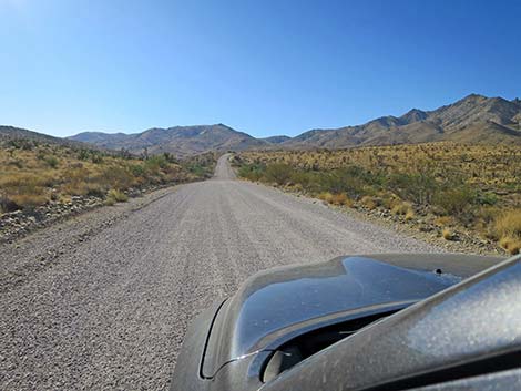 Ivanpah Road approaching the New York Mountains (SE) |
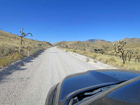
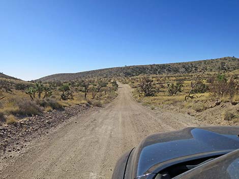
 Ivanpah Road climbing into the New York Mountains (SE) |
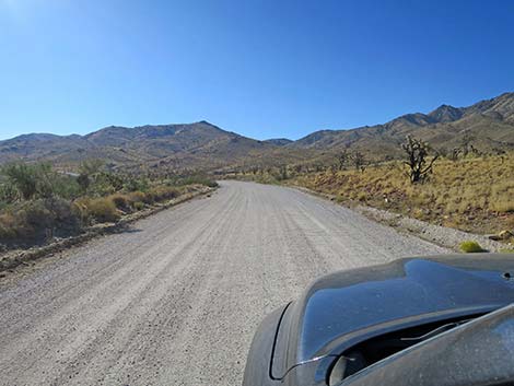
 Ivanpah Road is in reasonably good condition (view SE) |
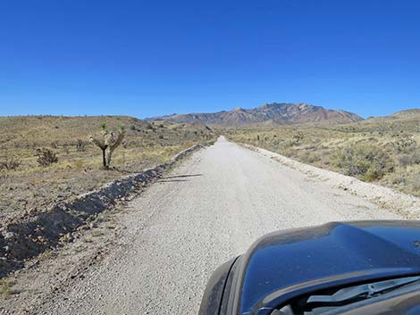
 Ivanpah Road traversing the New York Mountains (S) |
 (view SW) |
 (view SW) |
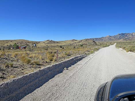 Ivanpah Road approaching Hart Mine Road (view SW) |
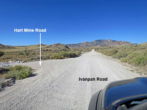 Ivanpah Road at Hart Mine Road (view SW) |
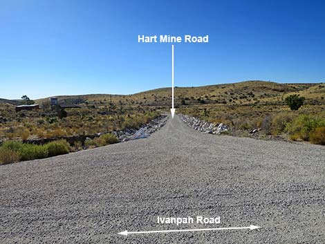 Hart Mine Road (view SE from Ivanpah Road) |
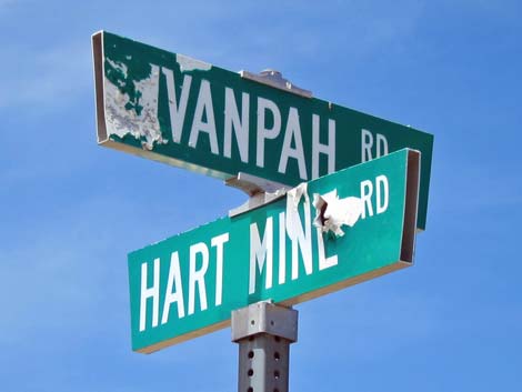 Former street sign: Ivanpah Road at Hart Mine Road (view SW) |
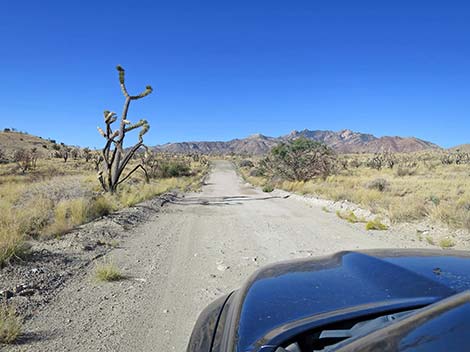 Ivanpah Road continues past Hart Mine Road (view SW) |
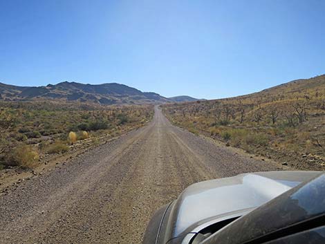
 Ivanpah Road approaching the highpoint on the road (view SW) |
 Ivanpah Road winding down through the New York Mountains (S) |
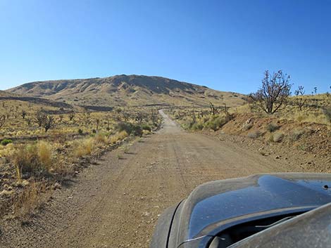
 Ivanpah Road passing out of the New York Mountains (SE) |
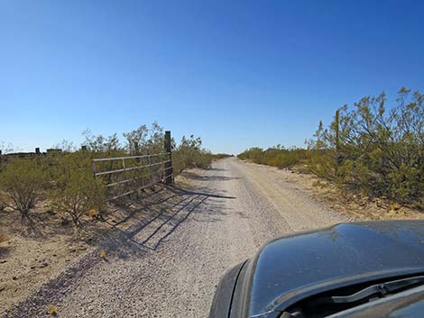
 Ivanpah Road at an historical cattle guard (view SE) |
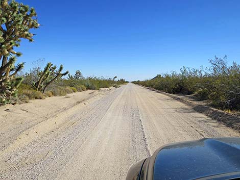
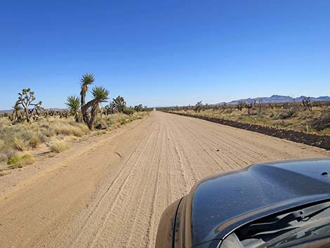
 Ivanpah Road entering Lanfair Valley (view S) |
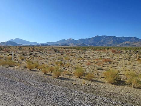
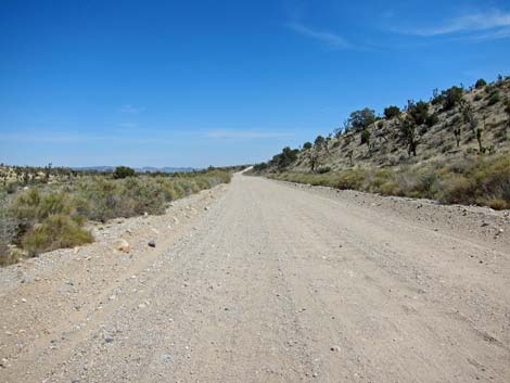
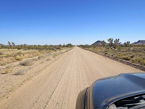
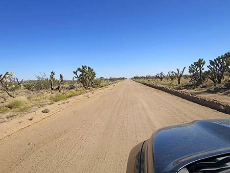
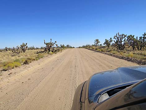
 Ivanpah Road traversing Lanfair Valley (view S) |
 Ivanpah Road traversing Lanfair Valley (view S) |
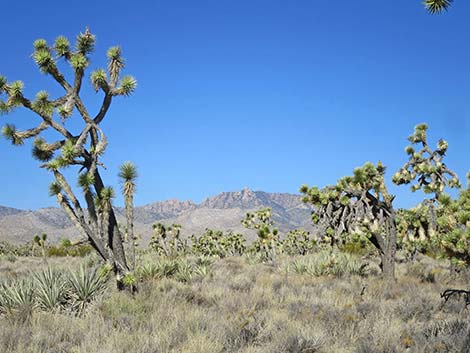
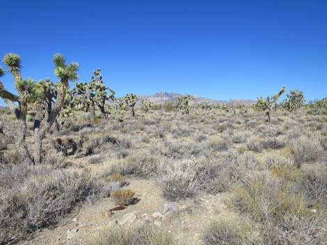 High peaks in the New York Range (view NW) High peaks in the New York Range (view NW) |
 High peaks in the New York Range (view NW) |
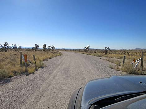
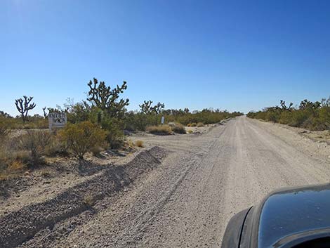 Ivanpah Road approaching Wheeler Ranch Road (view S) |
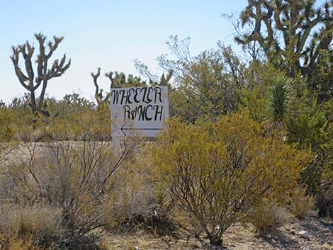 Ivanpah Road at Wheeler Ranch Road sign (view SE) |
 Ivanpah Road approaching XO Ranch, on the left (view S) |
 Ivanpah Road at New York Mountain Road (view S) |
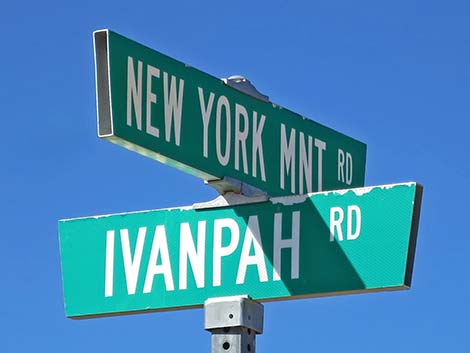 Street signs: Ivanpah Road at New York Mtn Road (view S) |
 New York Mountain Road (view W from Ivanpah Road) |
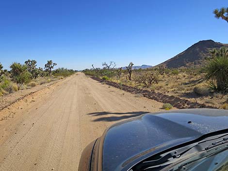
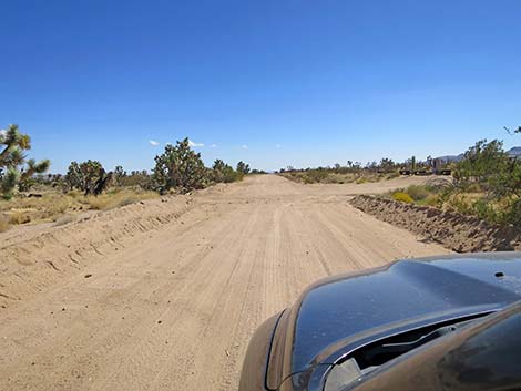
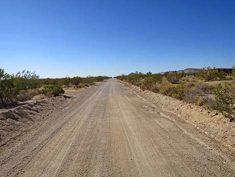 Ivanpah Road continues (view S) |
 Ivanpah Road runs straight and smooth (view S) |
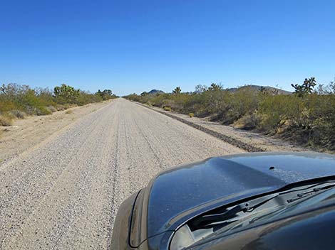
 Ivanpah Road (view S) |
 Ivanpah Road (view S) |
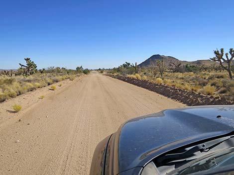 Ivanpah Road (view S) |
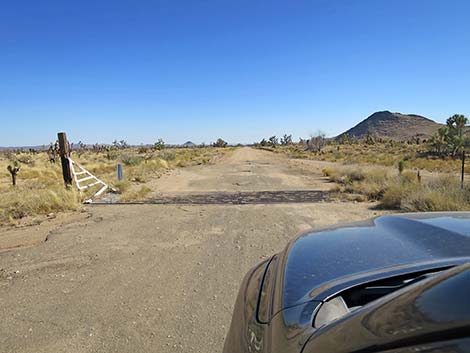 Ivanpah Road at another cattle guard (view S) |
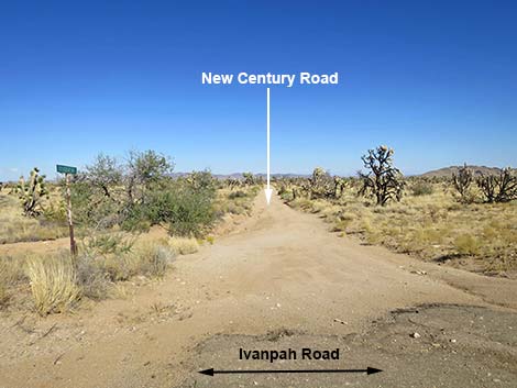 New Century Road (view E from Ivanpah Rd just before cattle guard) |
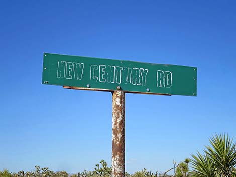 New Century Road sign (view N) |
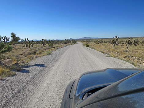
 Ivanpah Road (view S) |
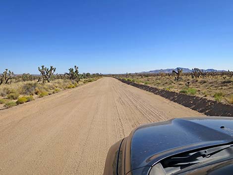 Ivanpah Road (view S) |
 Ivanpah Road (view S) |
 Ivanpah Road (view S) |
 Ivanpah Road (view S) |
 Ivanpah Road (view S) |
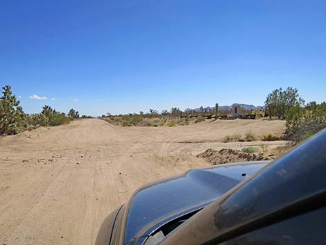 Ivanpah Road approaching Railway Monument (view S) |
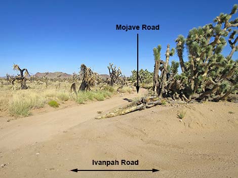 Just before Railway Monument, Old Mojave Road (view E) |
 Ivanpah Road at Nevada Southern Railway monument ((view W) |
 Ivanpah Road at Nevada Southern Railway monument (view W) |
 Ivanpah Road at Nevada Southern Railway monument (view W) |
 Nevada Southern Railway monument (view SW) |
 Nevada Southern Railway monument (view W) |
 Ivanpah Road continues south (view S) |
 Ivanpah Road at road sign (view S) |
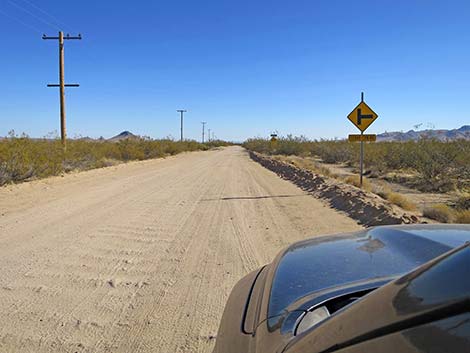
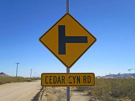 Caution sign: Cedar Canyon Road ahead (view S) |
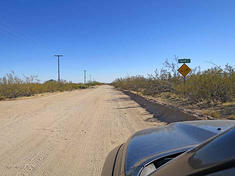 Ivanpah Road at road sign (view S) |
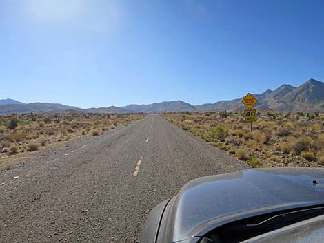
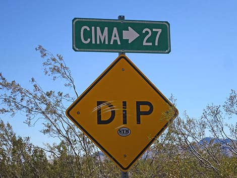 Caution sign: Dip ahead and 27 miles to Cima (view S) |
 Ivanpah Road approaching Cedar Canyon Road (view S) |
 Historical sign: distances to recreational points of interest (view SE) |
 Historical sign: distances to recreation areas (view SE) |
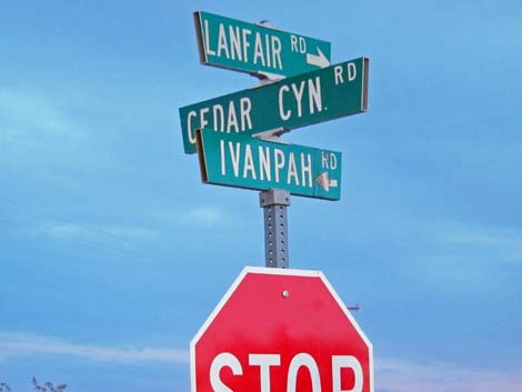 Street signs: Ivanpah-Lanfair Road at Cedar Canyon Road |
 Cedar Canyon Road (view W from Ivanpah Road) |
 Lanfair (Ivanpah) Road continues south (view S) |
Table 1. Highway Coordinates Based on GPS Data (NAD27; UTM Zone 11S). Download Highway GPS Waypoints (*.gpx) file.
| Site | Location | UTM Easting | UTM Northing | Latitude (N) | Longitude (W) | Elevation (ft) | Verified |
|---|---|---|---|---|---|---|---|
| 1259 | Ivanpah Rd at NY Mts Rd | 663698 | 3896831 | 35.20293 | 115.20177 | 4,280 | Yes |
| 1264 | Nipton Rd at Ivanpah Rd | 646208 | 3924862 | 35.45829 | 115.38882 | 2,747 | Yes |
| 1265 | Ivanpah Rd at Morning Star Rd | 647358 | 3919902 | 35.41342 | 115.37706 | 2,837 | Yes |
| 1266 | Ivanpah Rd at End of Pavement | 656680 | 3910784 | 35.32981 | 115.27617 | 3,927 | Yes |
| 1470 | Cedar Canyon Rd at Ivanpah Rd | 665583 | 3888405 | 35.12668 | 115.18277 | 4,083 | Yes |
Happy Hiking! All distances, elevations, and other facts are approximate.
![]() ; Last updated 241003
; Last updated 241003
| Backroads | Hiking Around Mojave Preserve | Hiking Around Las Vegas | Glossary | Copyright, Conditions, Disclaimer | Home |