
Hiking Around Las Vegas, Lake Mead National Recreation Area

 Note sign at trailhead: area closed during the heat of summer |
Due to extreme temperatures, this area is closed during the heat of summer. Link to details (PDF). Overview This pleasant hike follows a wash, use-trails, and old roads across the sparsely vegetated, but starkly beautiful, desert south of Hoover Dam in Arizona. The trail runs up over hills and down through canyons (with little net elevation change) out to the lip of Black Canyon and the 1,000-ft deep Colorado River gorge. Along the way, the trail passes an interesting World War II era magnesium mine (relatively safe) and the Liberty Bell Arch. The arch is free-standing, and I'm guessing, the opening is about 25-feet high (which is to say surprisingly big). Link to map or elevation profile. |
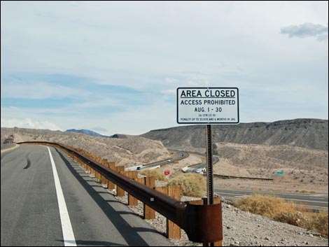 Sign on access road: area closed during the heat of summer |
Watch Out Other than the standard warnings about hiking in the desert, ...this is a fairly safe trail. Out at the overlook, there is a spectacular 1,000-ft drop-off to the river, which invites close inspection, but be careful on the edge, as the footing might be loose. With careful supervision, this should be a good hike for children. Because of extreme summer temperatures, many hikers have required rescue in this area during recent years, putting the lives of rescue personnel at risk. Therefore, the National Park Service closes this area during summer. While hiking, please respect the land and the other people out there, and try to Leave No Trace of your passage. Also, this is a moderate hike, so be sure to bring what you need of the 10 Essentials. |
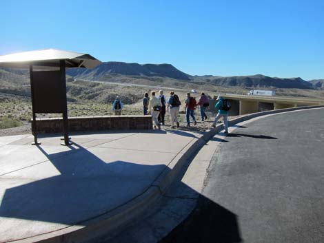 Hikers departing the trailhead (view SW) |
Getting to the Trailhead This hike is located along Highway 93, south of the Hoover Dam in Lake Mead National Recreation Area, about 45 minutes southeast of Las Vegas. From town, drive out to Lake Mead NRA, over the bridge into Arizona, and down to the White Rock Canyon Trailhead. Park here; this is the trailhead. |
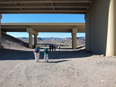 Hikers passing under the highway bridges (view W) |
The Hike From the trailhead at the far end of the parking area by the information kiosk (Table 2, Wpt. 01), a trail runs down the hillside into White Rock Wash and down under the Highway 93 bridges. Just past the southbound bridge, the old trailhead signs (Wpt. 02) introduce the route. The route then follows the wash all the way to the edge of the purple mountains in the distance. In this area, the sparsely vegetated country provides grand views down White Rock Wash towards the start of the narrows and out over the mountains into Nevada and the Black Canyon Wilderness Area. The dominant vegetation in the wash is catclaw acacia, brittlebush, Mormon tea, snakeweed, and several other species. The dry hillsides are sparsely vegetated with creosote bush, white bursage and little else. The ecological differences between the relatively well-watered wash and the dry ridges are clear. |
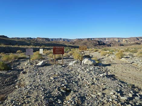 Beyond the bridges, a group of trail signs (view W) |
At about 0.5 miles out (Wpt. 03), an old road departs the wash to the right and heads north. This old road provides an alternate route to the arch that is somewhat longer but makes a bit of loop and some different scenery. Continuing down the main wash following the regular route, the wash cuts down into a layer of tan bedrock in a straight, narrow ditch with walls reach to about 25-ft high. The narrow ditch eventually opens, and the main canyon bends to the north in a broad arc to the right as it reaches the base of the tall purple cliffs. Here (Wpt. 04), a large accumulation alluvial material has come down a side canyon from the north. The route to Liberty Bell Arch leaves the main wash at this point and turns up the side canyon; the White Rock Canyon route to Arizona Hot Springs route continues down the main canyon into deep narrows through the purple cliffs. |
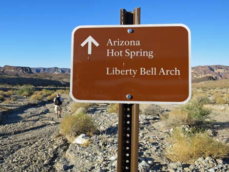 Trail sign: Liberty Bell Arch this way |
The mouth of the side canyon is broad, and historically, it has been easier to exit the main wash earlier rather than later, but flash floods keep changing these things. Climbing out of the main wash, the route follows the side canyon northwest. The route follows the track of an old mining road, bits and pieces of which can still be seen. Past an old claim marker (wooden post with rocks), the route follows the main side canyon to the left. The route runs up the side canyon for about 0.31 miles and rejoins the old Liberty Bell Arch Trail (Wpt. 24). Together, both routes climb the northwest hillside using the now well-preserved hand-made mining road. Before starting up the hand-made road, it might be worth walking up the wash a few more yards to see what likely was the miner's dynamite shack. |
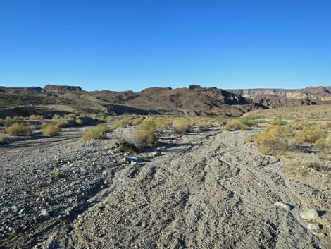 The route runs down White Rock Wash (view W) |
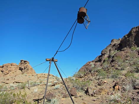
Following the old road (Wpt. 24), notice the interesting stonework where men made the road by hand. The road turns north and the first components of the magnesium mine come into view. There is an aerial cable with what appears to be a big, wooden cable car lying on the south-facing hillside (Wpt. 25). This car was not moved on the cable, rather was used as a loading chute for trucks that were driven up the road and parked below the chute that lies below the cable car. This makes more sense after seeing the mine, which is only about 5 minutes ahead. On the edge of the ridge, just a few yards past the cable car, the use-trail forks (Wpt. 26). The left fork leads steeply down and northwest towards the Liberty Bell Arch, while the right fork wraps around the side of the ridge to another trail junction (Wpt. 27) and a short spur trail to the magnesium mine (Wpt. 28). |
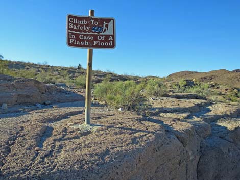 Sign: climb to safety in case of flash flood (view SW) |
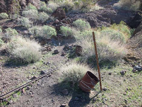
At the mine site (Wpt. 28), an adit (horizontal mine shaft) goes back some 60 feet, but there are skylights, so you can go all the way to the back without a flashlight. Inside the mine, there are some tiny ore-car tracks (probably pushed by hand), old buckets, wooden timbers lying on the ground, and the last of the bore holes that the miners drilled before they gave up. Outside the mine, there are old buckets, wooden timbers, junk, cables, the other end of the aerial cable, and other interesting mining equipment lying about. I am told that the miners loaded ore into buckets, sent the buckets up the cable to the top of the ridge, dumped the ore into the wooden cable car, and then loaded the trucks. Feel free to explore the site, but it is protected, so don't take any of the historic objects. From the mine (Wpt. 28), follow the spur trail about 200 feet back to the use-trail, which is now in the bottom of the wash that leaves the mine site. The wash bends to the left and runs westward. After a couple of minutes, the other use-trail from the cable car enters the wash (Wpt. 29). After another 5 minutes, the use-trail leaves the wash (Wpt. 30) and turns northwest. |
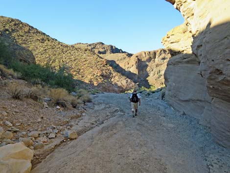 Hiker in the first area of narrows (view W) |
Along the wash, there are some interesting plants growing in the wash that look like bunches of green sticks, about 3 feet high, sticking up out of the sand. These are rush milkweeds; look for the milkweed flowers and seedpods. From the wash (Wpt. 30), the use-trail runs northwest and up a little side canyon to the top of the ridge that comes down from Liberty Bell Arch. There is a faint trail junction (Wpt. 31) at the top of the ridge. The fork to the west (left) runs out towards the arch and the overlook, while the fork to the east (right) is an alternate route back to the old trailhead. There are great views of the north side of the arch, which is quite close now, from the trail junction (Wpt. 31). The use-trail turns southwest and runs up the ridge to near the toe of the arch, then continues off to the south and up a rocky hillside. There are more great views of the south side of the arch from this hillside (e.g., Wpt. 31), and it is easy to see why they named it "Liberty Bell" arch. |
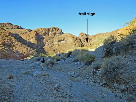 Trail sign above wash on the right side past first narrows (view W) |
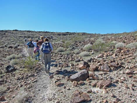
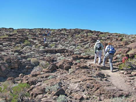
Continuing past the arch, the use-trail runs southwest and up a steep, rocky ridge with great views in all directions (except not back to the arch). Another interesting plant becomes apparent on the hillside: a dark green shrub with short needle-like leaves. It looks quite out of place among the black rocks and nearly leafless desert plants. This shrub is a pygmycedar. About 0.5 miles from the arch, the use-trail runs out onto the flat-topped Black Canyon Overlook (Wpt. 33) and ends on the lip of the 1,000-ft-deep Black Canyon of the Colorado. The summit is a short walk north (Wpt. 34), but it appears that most people just stop where they first encounter the edge of the canyon. Views from the overlook are spectacular in all directions, but especially down the river to the south. Sit awhile, eat lunch, enjoy the solitude, sign the register, and enjoy the view. When you are ready to head back, retrace your steps back to the trailhead. |
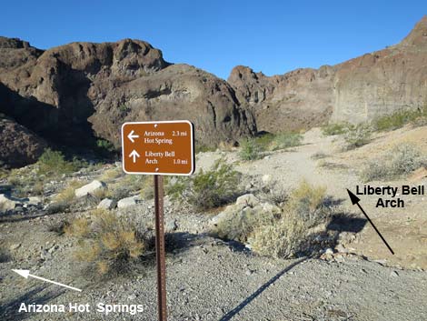 Trail sign (view W) |
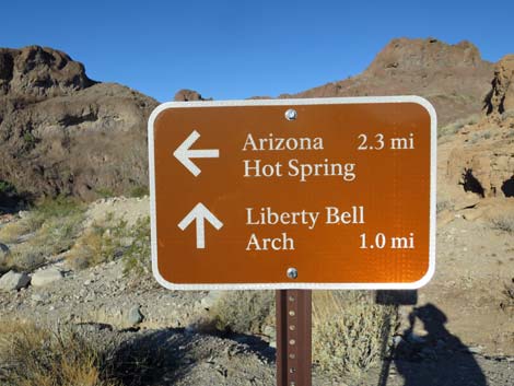 Trail sign (view NW) |
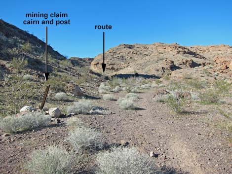 Past post, route take the west fork (view NW) |
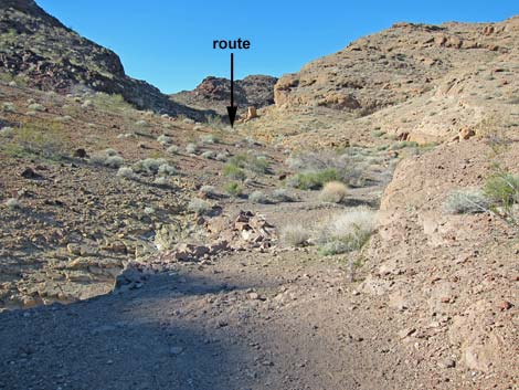 Route continues up the valley (view NW) |
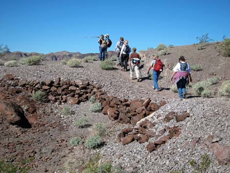 Hikers on hand-made road (view NW) |
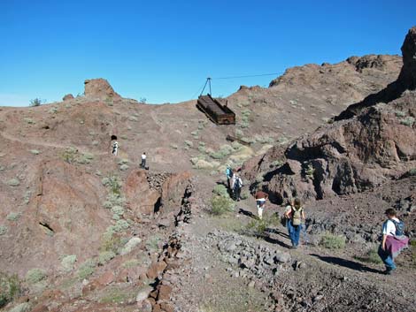 Arriving in the mine area (view N) |
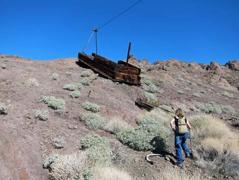 Upper mine area with cable-car ore chute (view N) |
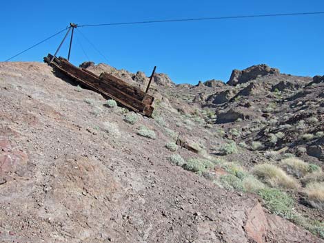 On trail, passing the cable-car ore chute (view NE) |
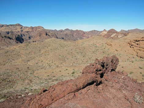 Trail runs out to a promontory with a view |
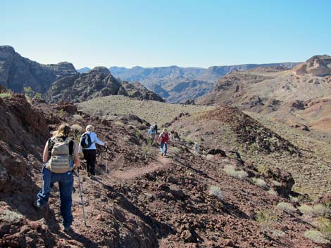 Trail switchbacks down from the promontory |
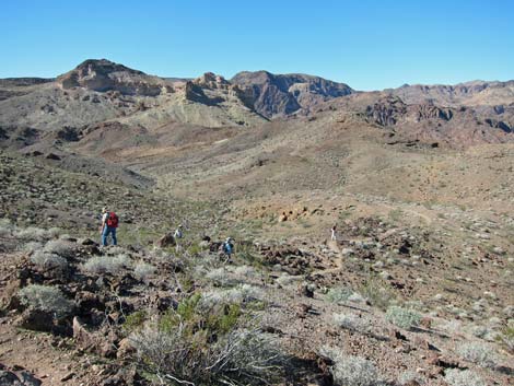 Trail forks: Direct trail to Liberty Bell Arch |
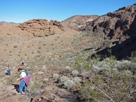 Trail forks: Side trail to mine site |
Detour to Mine Site
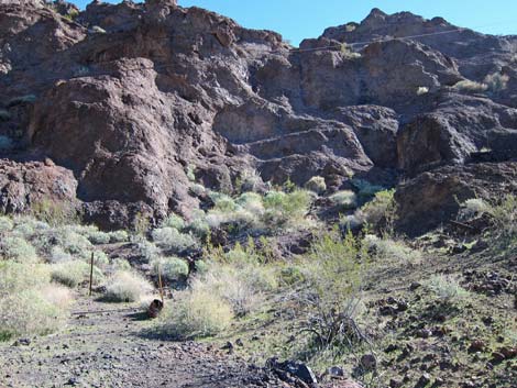 Approaching the mine site (view SE) |
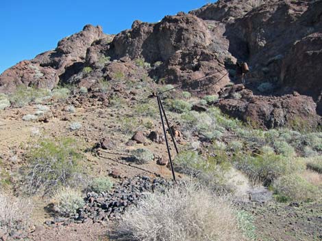 Arriving at the mine site (view S) |
 |
 |
 Entrance to old mine (view south) |
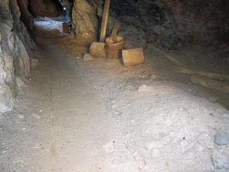 Ore-car tracks and debris inside the mine |
 Ore-car tracks and debris inside the mine |
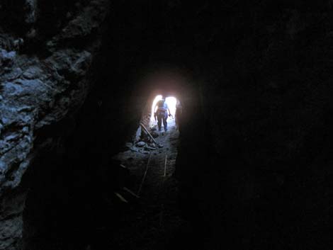 Inside, looking out |
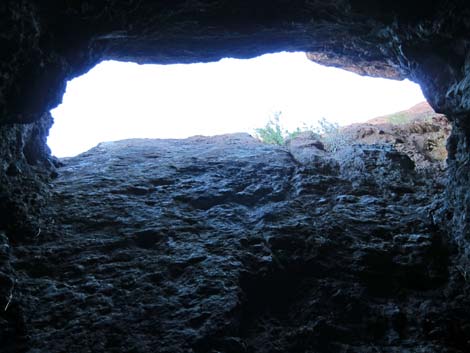 Opening to the surface |
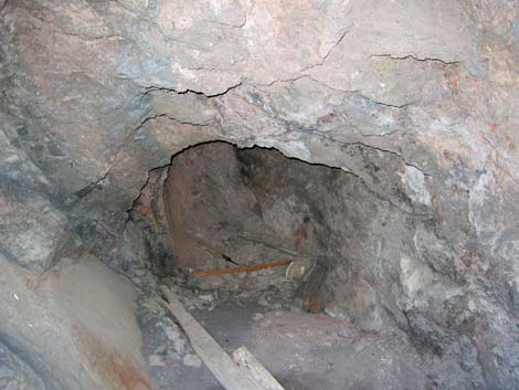 Back of the mine |
 Back of the mine -- drill holes still visible |
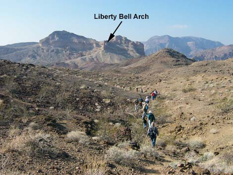 Departing the mine site |
Continuing to Liberty Bell Arch
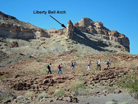 |
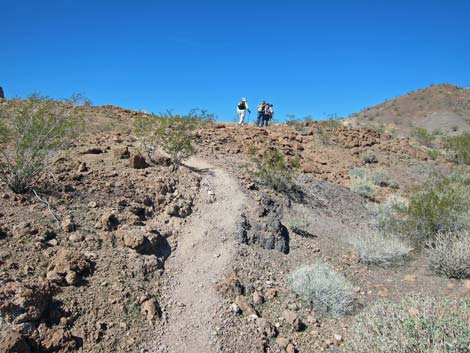 |
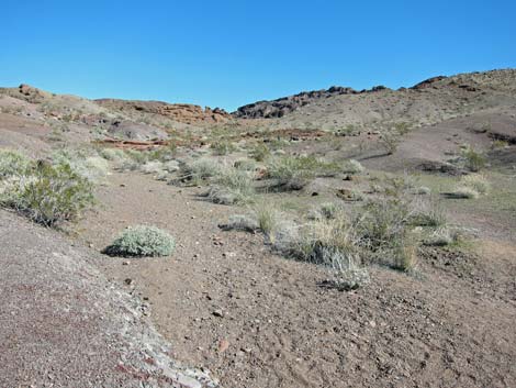 |
 |
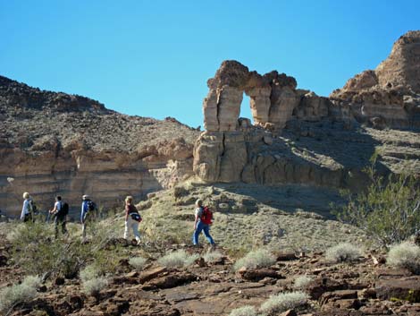 |
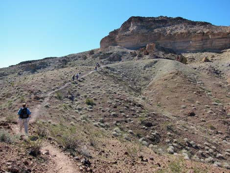 |
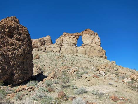 Liberty Bell Arch (view N) |
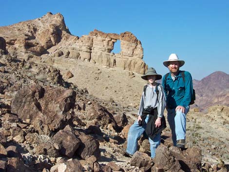 Friends at Liberty Bell Arch (view N) |
 |
 |
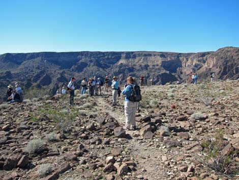 Hikers arriving at Black Canyon Overlook (view N) |
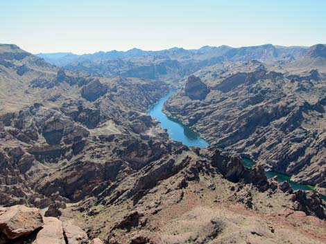 Black Canyon Overlook (view S) |
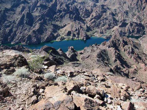 Black Canyon Overlook: 1,000 feet down (view N) |
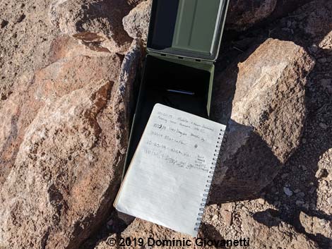 Summit Register at Black Canyon Overlook |
Table 2. Hiking Coordinates Based on GPS Data (NAD27; UTM Zone 11S). Download Hiking GPS Waypoints (*.gpx) file.
| Wpt. | Location | Easting | Northing | Elevation (ft) | Point-to-Point Distance (mi) | Cumulative Distance (mi) | Verified |
|---|---|---|---|---|---|---|---|
| 01 | White Rock Trailhead | 707677 | 3983997 | 1,536 | 0.00 | 0.00 | GPS |
| 02 | Trail Signs | 707597 | 3983812 | 1,492 | 0.15 | 0.15 | GPS |
| 03 | Alternate Route | 707139 | 3983515 | 1,393 | 0.35 | 0.50 | GPS |
| 04 | Liberty Bell Arch Jct | 706553 | 3983344 | 1,295 | 0.39 | 0.89 | GPS |
| 24 | Trail Jct | 706239 | 3983643 | 1,371 | 0.31 | 1.20 | GPS |
| 25 | Ore Loading Cable Car | 705986 | 3983645 | 1,448 | 0.19 | 1.39 | GPS |
| 26 | Trail Jct | 705907 | 3983654 | 1,407 | 0.09 | 1.48 | GPS |
| 27 | Trail Jct | 705907 | 3983717 | 1,348 | 0.04 | 1.52 | GPS |
| 28 | Mine | 705955 | 3983732 | 1,372 | 0.04 | 1.56 | GPS |
| 27 | Trail Jct | 705907 | 3983717 | 1,348 | 0.04 | 1.60 | GPS |
| 29 | Trail Jct | 705751 | 3983629 | 1,305 | 0.15 | 1.75 | GPS |
| 30 | Turn out of Wash | 705614 | 3983455 | 1,268 | 0.15 | 1.90 | GPS |
| 31 | Top of Ridge | 705433 | 3983530 | 1,387 | 0.14 | 2.04 | GPS |
| 32 | Arch View | 705315 | 3983301 | 1,442 | 0.19 | 2.23 | GPS |
| 33 | Black Canyon Overlook | 705019 | 3982798 | 1,670 | 0.47 | 2.70 | GPS |
| 34 | Black Canyon Overlook Summit | 704996 | 3982858 | 1,707 | 0.09 | 2.79 | GPS |
Happy Hiking! All distances, elevations, and other facts are approximate.
![]() ; Last updated 240729
; Last updated 240729
| Hiking Around Lake Mead | Hiking Around Las Vegas | Glossary | Copyright, Conditions, Disclaimer | Home |