
Hiking Around Las Vegas, Gold Butte National Monument

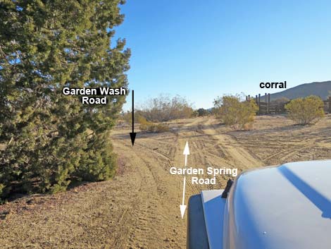 Garden Spring Road approaching Garden Wash Road (view E) |
Overview Garden Wash Road, a side road off Devils Cove Road, provides access to 4 sandy miles of Garden Wash beyond the historic Garden Spring Corral and associated popular primitive campsite. At the corral, Garden Wash Road forks left from Garden Spring Road to run northeast. The sandy road runs down Garden Wash, winding among catclaw acacia and desert willow trees. There are few rocks, making this a fairly smooth ride, but it is best suited for 4WD vehicles because of soft sand. About 3 miles out, Garden Wash Road passes an historic watering trough that catches water from rainstorms and holds it for wildlife. With so much catclaw, this is good habitat for Phainopepla. Garden Wash Road ends 4 miles out at an old cabin near the historic Azure Ridge copper mine. Here, the wash pinches down and enters a narrow canyon with towering limestone walls. Link to map. |
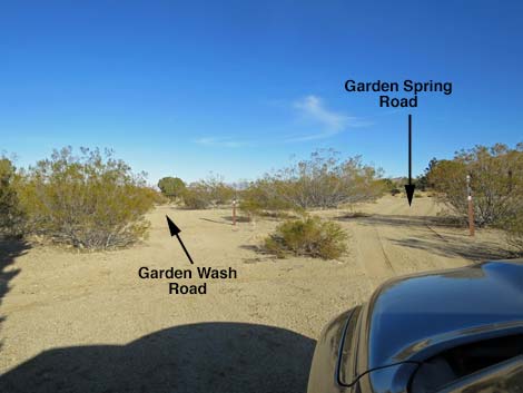 Garden Spring Road at Garden Wash Road (view E) |
Watch Out Other than the standard warnings about hiking in the desert, ... this road is fairly safe and without unusual hazards, but the road runs down a sandy wash and a 4WD vehicle is safer than otherwise. The last 20 yards of road to the cabin are best walked because the undulating surface causes problems for vehicles without limited-slip differentials. Plus, it is hard to turn around at the cabin without damaging historic cabin debris. This is wild and remote country without services of any kind (no restrooms, no water, no gas, no food). Bring what you need to survive. Be prepared and be self-reliant. Gold Butte National Monument is a big place, and someone will eventually find you if you stay on a main road, but be prepared to survive alone for a day or two, or even longer on side roads. Cell phones don't work here. While visiting, please respect the land and the other people out there, and try to Leave No Trace of your passage. Also, this is a remote area, so be sure to bring the 10 Essentials. |
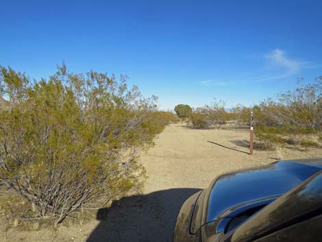 Garden Wash Road departing the corral area (view NE) |
Getting to Garden Wash Road Garden Wash Road is located out in Gold Butte National Monument at the northeast end of Lake Mead, about 3-1/2 hours northeast of Las Vegas in a wild, remote, and scenic area. From town, drive out to Gold Butte National Monument. From Whitney Pocket, continue south on the unpaved Gold Butte Road to the signed Devils Cove Road. Stay left onto Devils Cove Road and continue south 1.0 miles. The relatively straight road bends left around a rocky ridge and crosses a major wash. Here, in the wash, Garden Spring Road branches left and heads up the wash. Garden Spring Road runs east 0.7 miles to Garden Spring Corral where Garden Wash Road forks left. |
 |
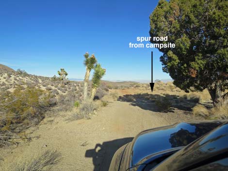
The Road From Garden Spring Road at Garden Spring Corral and Windmill (Table 1, Site 1778), Garden Wash Road forks left to head northeast. In about 100 yards, a road merges from the right; this road comes from Garden Spring campsite. Continuing, Garden Spring Road runs over an edge and down a red-dirt hillside into a gully. A bit bumpy here, the road soon smooths out as it runs down into a sandy wash. At about 0.2 miles out, the wash forks and roads go both ways. The entire wash is braided, and in many cases, roads run down both forks of the braid, so this is just the first of many such forks and in almost every case, both fork work. Here, the left fork runs over bedrock outcrops in the wash, so depending on floods and how they move gravel around, the right fork might be better. Either way, both forks merge in about 125 feet, and there are a few more bedrock outcrops in the wash shortly ahead. |
 |
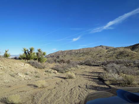
Continuing, the wash runs northeast between low hills. The vegetation is typical of this high-desert region with diverse species along the hillsides and water-loving species such as desert willow, catclaw acacia, honey mesquite, and desert almond along the edges of the sandy wash. At about 0.6 miles past the corral, the wash forks again and roads go both ways. The right follows the main wash, but either is fine as they merge shortly ahead. The road continues down the sandy wash, passing several braids with forks that merge again, but at about 2.7 miles out, a road forks right and climbs out of the bottom of the wash. This road runs about 100 yards to an historic circular watering trough on the right (not visible from the main road in the wash). The watering trough catches water from rainstorms and holds it for wildlife. This is a good area, packed with catclaw acacia trees full of mistletoe, to see Phainopepla and other birds. The main road continues down the bed of the wash winding among trees and shrubs and passing a few rocks. |
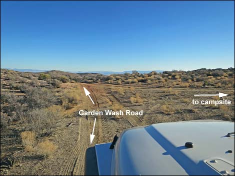 Side road from campsite merges from the right (view NE) |
At about 3.5 miles out, the nature of the road degrades and becomes narrower, rougher, rockier, and more washed out. The road continues, but it seems that most drivers turn around in this area. At about 3.8 miles out, the wash approaches a rocky crag on the left hillside and bends right into towards rocky narrows. This is a good place to stop, but if not, the road-edge vegetation becomes much thicker as the road continues a few yards to the last good place to stop and turn around. For drivers who insist on driving the last 20 yards of road, the road cuts across the wash gullies where jeep tires are likely to come off the ground and cause problems for those of us without limited-slip differentials. The road finally ends (Site 1787) on the doorstep of an old cabin that was built by miners who worked the Azure Ridge Copper Mine another 0.25 miles down the wash. The turn-around is quite small, and turning around without damaging historic boards of a collapsed cabin is difficult, even for a short-wheelbase jeep. |
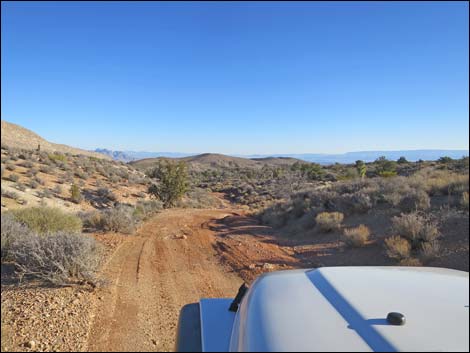 Heading into the red-dirt gully (view NE) |
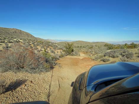 Starting down the red-dirt gully (view NE) |
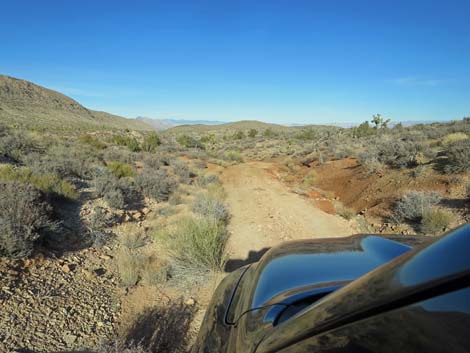 The right edge of the road washes away (view NE) |
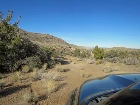 The road levels out (view NE) |
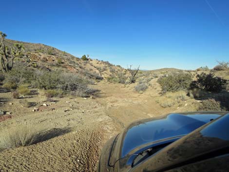 Driving over a bit of bedrock in the wash (view NE) |
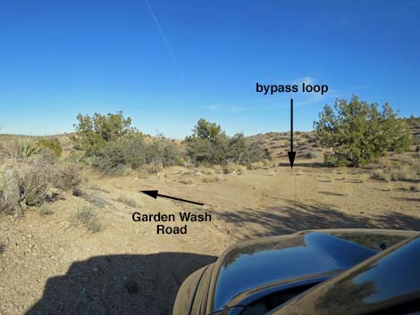 First of several forks; both sides are fine and merge in 125 ft |
 A bit more bedrock in the wash (view NE) |
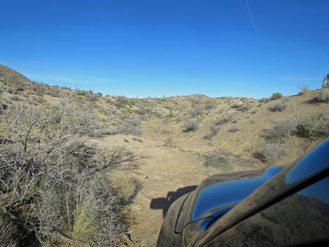 A bit more bedrock in the wash (view NE) |
 Back in the sandy wash (view NE) |
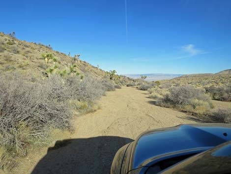 Sandy wash (view NE) |
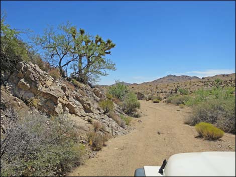 Garden Wash Road passing rocky hillside (view NE) |
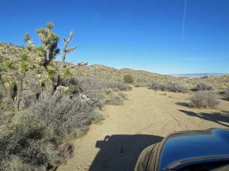 Sandy wash (view NE) |
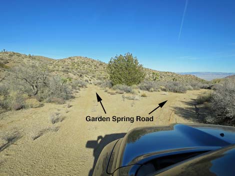 Another fork ; both sides are fine and merge in 50 yards (view NE) |
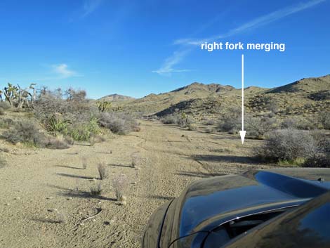 The two forks merge back into one (view E) |
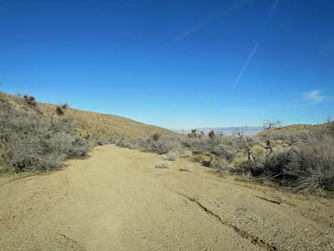 Sandy wash (view NE) |
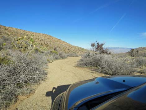 Sandy wash (view NE) |
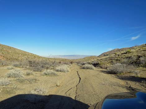
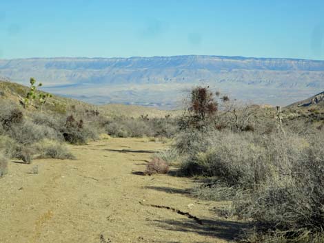 Grand Wash Cliffs in Arizona come into view (view NE) |
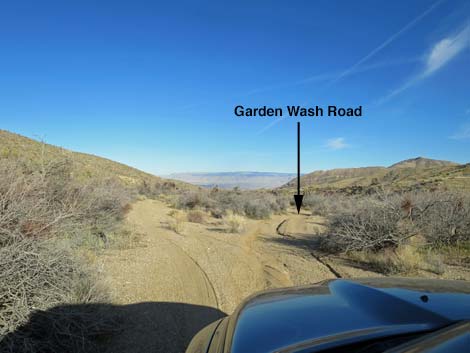 Road forks; left dead-ends in bushes, stay right (view NE) |
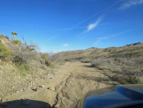 Sandy wash (view NE) |
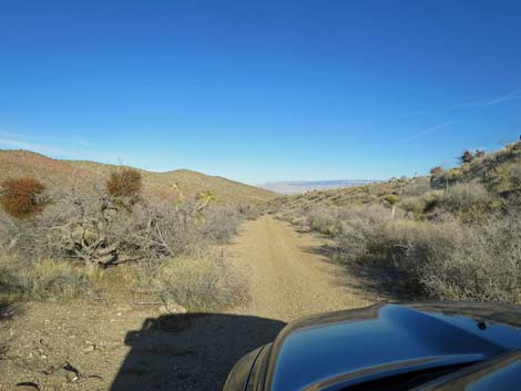 Sandy wash (view NE) |
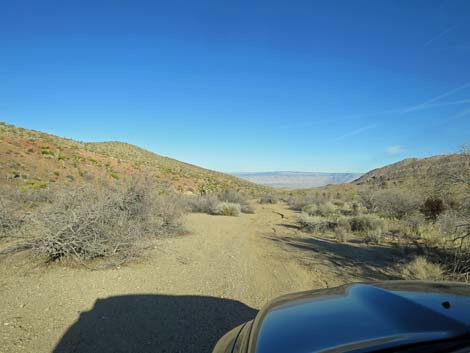 |
 |
 |
 |
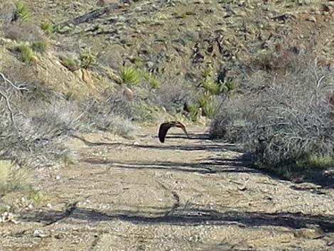 Red-tailed Hawk flying down the road (view NE) |
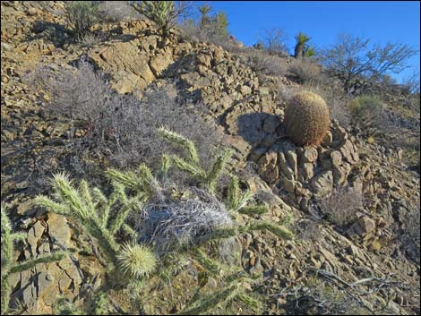 Cactus Wren nest in Buckhorn Cholla and Barrel Cactus |
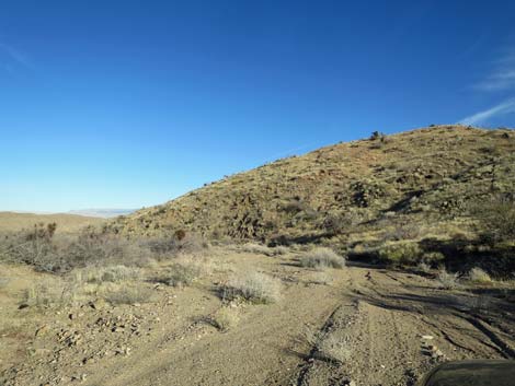 Sandy wash (view NE) |
 One of the few "rocky" spots (tight for wide trucks; view NE) |
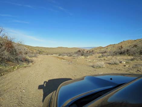 Sandy wash (view NE) |
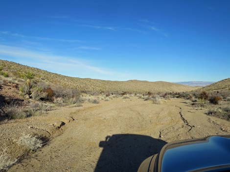 Sandy wash (view NE) |
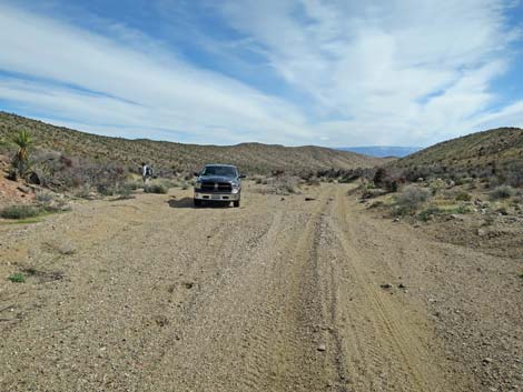 Garden Wash Road at Cobalt Mine Trailhead (view NE) |
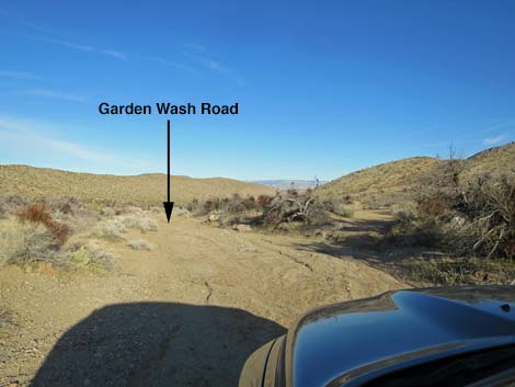 Road forks: stay left |
Detour to Historical Watering Trough: narrow road pushes through catclaw trees
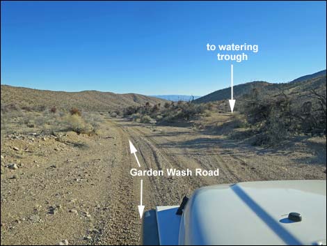 Spur road to watering trough forks right (view NE) |
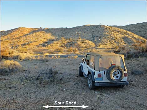 Parking at watering trough (view SE) |
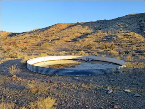 Watering trough (view S) |
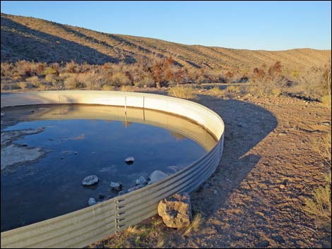 Watering trough (view NE) |
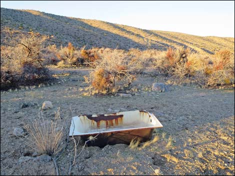 Bathtub used for cattle drinker (view NE) |
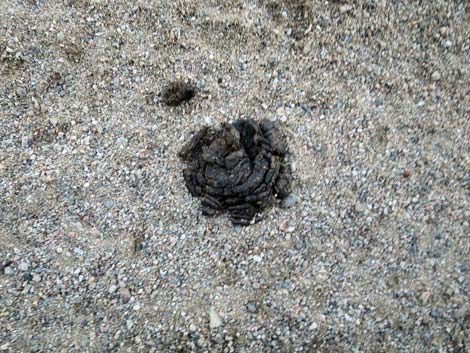 Cows still trespass in this area |
Continuing Down Garden Wash Road
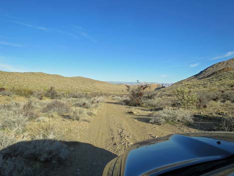 Main road continues down the wash (view NE) |
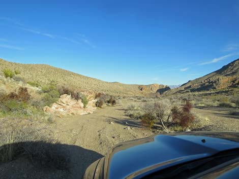 Rocky outcrop along the wash (view NE) |
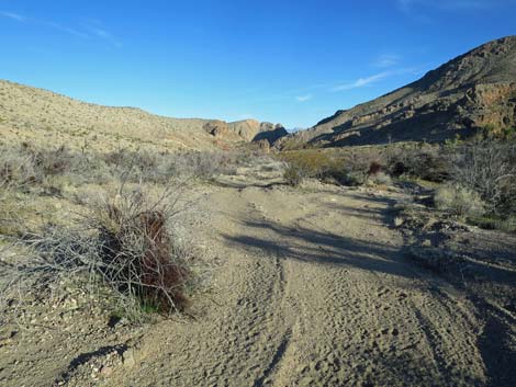 The road runs through narrow washout gullies here (view NE) |
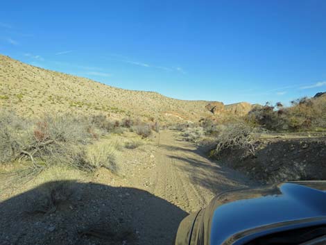 Beyond the narrowest washout gullies (view NE) |
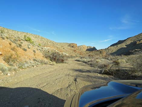 Continuing down the wash (view NE) |
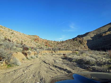 Approaching cliffs on the left, road begins to deteriorate (view E) |
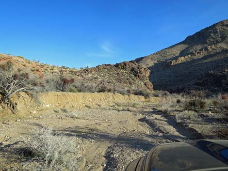 Turn around long-wheelbase vehicles here (view E) |
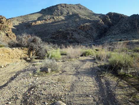 Road continues to deteriorate (view E) |
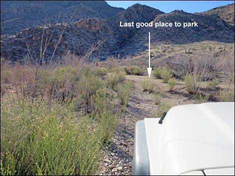 Vegetation just before the end of the road (view S) |
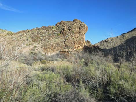 Azure Ridge Miner's cabin becomes visible over the bushes (view E) |
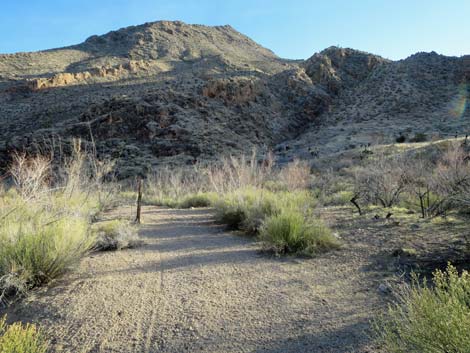 Turn around short-wheelbase jeeps here |
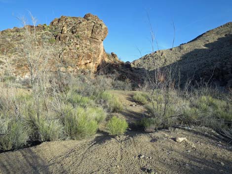 Smaller vehicles can continue down the canyon (view E) |
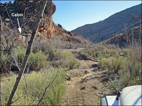 Last bit of road (very bad) before the cabin (view E) |
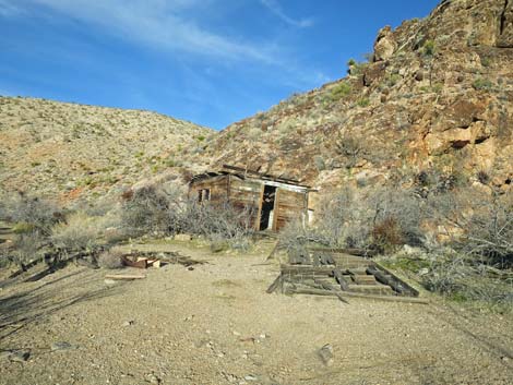 Azure Ridge Miner's cabin (view N) |
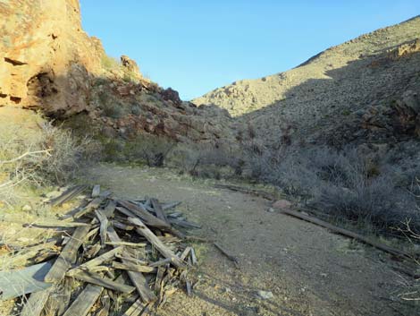 Road passes a collapsed cabin (please respect historical debris) |
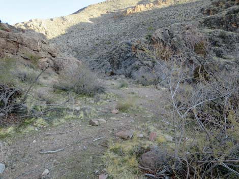 The road winds through catclaw trees (view E) |
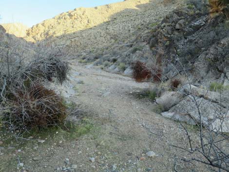 Road returns to the main wash (view E) |
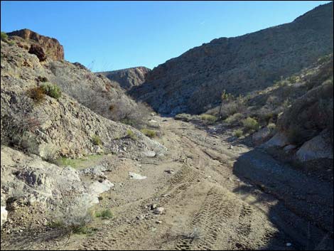 The road drops back into the wash (view E) |
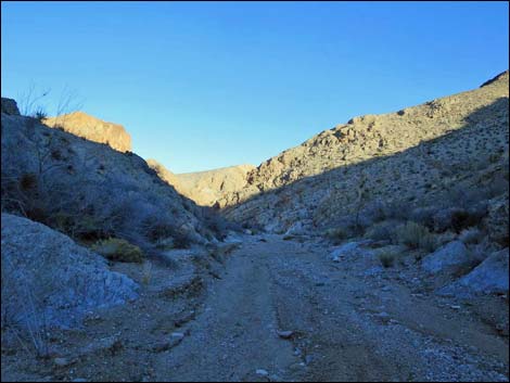 The wash quickly narrows (view E) |
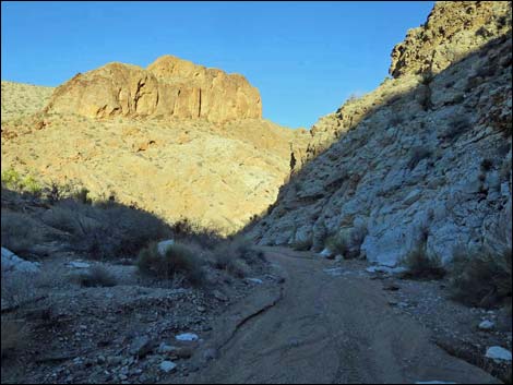 The canyon walls begin to rise (view NE) |
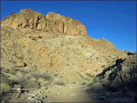 Winding down Garden Canyon (view NE) |
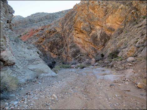 Winding down Garden Canyon (view S) |
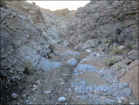 Winding down Garden Canyon (view NE) |
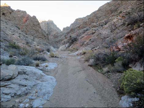 Winding down Garden Canyon (view SE) |
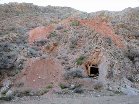 The road ends at Azure Ridge Mine (view S) |
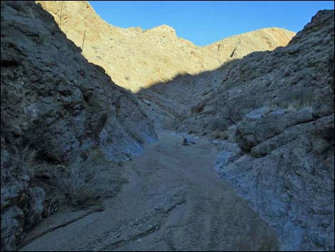 Continuing down canyon past Azure Ridge Mine is illegal (view NE) |
Table 1. Highway Coordinates Based on GPS Data (NAD27; UTM Zone 11S). Download Highway GPS Waypoints (*.gpx) file.
| Wpt. | Location | Latitude (N) | Longitude (W) | Elevation (ft) | Point-to-Point Distance (mi) | Cumulative Distance (mi) |
|---|---|---|---|---|---|---|
| 1778 | Garden Wash Road at Garden Spring Corral | 36.30185 | 114.14580 | 3,719 | 0.00 | 0.00 |
| 1881 | Garden Wash Road at Cobalt Mine Trailhead | 36.31764 | 114.10272 | 2,442 | 2.88 | 2.88 |
| 1852 | Garden Wash Road at Spur to Watering Trough | 36.31774 | 114.10216 | 3,028 | 0.03 | 2.91 |
| 1853 | Garden Wash Watering Trough Parking | 36.31779 | 114.10154 | 3,035 | 0.04 | 2.95 |
| 1787 | Garden Wash Rd at Azure Cabin | 36.31967 | 114.08621 | 2,603 | 0.50 | 3.45 |
Happy Hiking! All distances, elevations, and other facts are approximate.
![]() ; Last updated 240326
; Last updated 240326
| Hiking Around Gold Butte | Hiking Around Las Vegas | Glossary | Copyright, Conditions, Disclaimer | Home |