
Hiking Around Las Vegas, Gold Butte National Monument

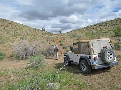 Hiker departing the trailhead (view N towards low saddle) |
Overview The Peak 1267 Loop Route is a fairly easy 6-mile loop that circumnavigates Peak 1267. With the peak at only 1,267 meters (4,157 ft), this isn't high country, but the limestone crags of the summit tower above the surrounding landscape. There are two canyons that trend north along the east and west sides of Peak 1267. Washes that flow down the two canyons merge on desert flats north of the peak. As described, this route starts at the head of the east canyon, runs north to near the confluence, then returns up the west canyon and back to the trailhead via Lincoln Mine Road. The route, of course, can be hiked in the other direction. The canyons traverse a landscape of broken and remixed geology with chunks of time scattered about like a child's building blocks. The route passes Precambrian metamorphic rock, Permian Red Beds, and even the Kaibab and Toroweap limestones that cap the Grand Canyon. Link to hiking map. |
 Atop low saddle, route runs gently downhill (view N) |
Watch Out Other than the standard warnings about hiking in the desert, ... this hike is pretty safe without any unusual hazards or even any boulder fields to traverse. However, this is wild and remote country without services of any kind (no restrooms, no water, no gas, no food). Bring what you need to survive. Be prepared and be self-reliant. It is a big place, but someone will eventually find you if you stay on a main road, but be prepared to survive alone for a day or two, or even longer on side roads. Consider signaling the tourist helicopters that traverse the area coming and going from the Grand Canyon, although most fly south of this area. While hiking, please respect the land and the other people out there, and try to Leave No Trace of your passage. Also, this is a remote hike, so be sure to bring the 10 Essentials. |
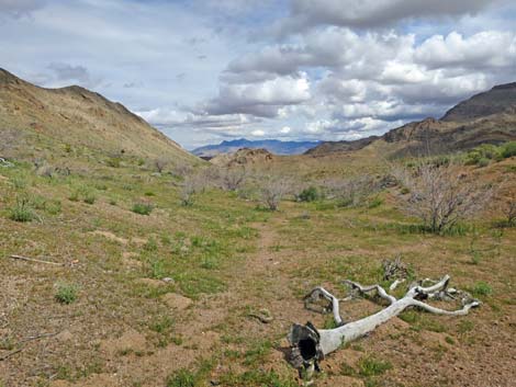 Animal trail passing a burned Joshua tree (view N) |
Getting to the Trailhead Peak 1267 is located out in Gold Butte northeast of Lake Mead, about 3.5 hours northeast of Las Vegas. From town, drive out to Gold Butte, then drive south on the paved Gold Butte Road to Whitney Pocket at the end of the pavement. From Whitney Pocket, continue south on the unpaved Gold Butte Road to Gold Butte Townsite. From the Townsite, drive northwest on Red Bluff Spring Road 5.9 miles to the north end of Lincoln Mine Road, on the right. Alternatively (slower), from Whitney Pocket, drive south on the unpaved Gold Butte Road to Mud Wash North Road. Turn right and continue southwest to Mud Wash Road. Drive west on Mud Wash Road until it ends, then turn left onto Red Bluff Spring Road. Drive south 8.6 miles to Lincoln Mine Road, on the left. Either way, turn east on Lincoln Mine Road and continue 2.5 miles to the trailhead. |
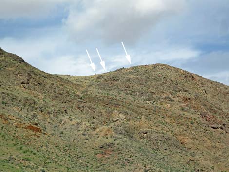 Four bighorn sheep (two at left) on Peak 1267 (view NW) |
The Hike From the trailhead (Table 1, Waypoint 01), the route starts heading due north up the gentle hillside for about 150 yards to the first low saddle (Wpt. 02). Peak 1267 lies ahead to the left, and the route bends a bit right running down the broad, shallow wash for the next 0.7 miles. At that point, the shallow wash joins the major wash (Wpt. 03) to the east that drains a fair bit of Tramp Ridge. Heading north in the shallow wash, the low, rounded ridge on the right separates this wash from the major wash farther right by as little as 100 yards. In fact, hikers could have started heading due east from the trailhead and quickly entered the main wash. Hikers doing the route in the opposite direction (clockwise) should make note of this as the shallow wash would be easy to miss. In the main wash (Wpt. 03), the route continues down the canyon. Another canyon merges from the right, and together they flow into a narrower section of canyon. |
 Route follows wash towards curious geology at first narrows |
Here, the geology is quite curious. The entire landscape appears to be limestone, so it was formed in layers on the bottom of the ocean. Yet here on the west side of the canyon, faulting has mixed an outcrop of dark and light metamorphic rock with the limestone. The area is broken by many faults, some of which can be seen on the east wall of the canyon. This region was jumbled by major faults that bring together Precambrian limestones (dating from more than 500 million years ago [mya]) and Permian limestones (300-250 mya) nearby to Precambrian metamorphic rocks. Apparently, the chunk of dark and light metamorphic rock here got caught and pulled into in the mix. Continuing down canyon, the wash opens, and the hiking is easy as the wash winds back and forth bouncing off the rock walls. Eventually the canyon jogs right (Wpt. 04) and the trace of an old mining road can be seen ahead on the left. Hikers have a choice to make: go down through the narrows or go up over the road. |
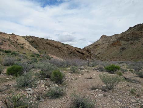 Curious geology (dark and light metamorphic rock in limestone) |
Choosing the narrows, the wash bends right and enters a narrows section of water-polished dark limestone. While this probably is the more interesting choice with curious rocks and a bit of easy scrambling, it seems that each narrow spot is guarded by catclaw acacia trees that well deserve the other name: wait-a-minute bush. Hikers making the choice to venture into the narrows will pay in blood. Choosing the old mining road, hikers stay left onto the road. Parts were hacked out of the rocky hillside and parts are held up using handmade stone walls. The road is moderately steep, and by the time hikers have made the saddle, they will have paid in sweat (nothing is free). Descending the north side of the ridge, the road eventually disappears into the hillside, but the route returns to the wash (Wpt. 05) and continues downstream. The canyon winds west pinched between layered limestone cliffs, then bends back to the north. In this area, the route begins to leave the canyons and crags behind and starts out onto what feels like a broad, open basin of desert flats surrounded by limestone ridges. |
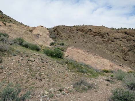 Dark and light metamorphic rock in limestone landscape |
On these "desert flats," the view northeast is grand. The view in that direction is bounded 1-1/2 miles away by a ridge of limestone, which is an unnamed ridge running parallel to Tramp Ridge (but part of the Tramp Ridge complex). Towards the center of that ridge, a red outcrop bursts from the cliff wall. This appears to be a thrust fault where older limestone was pushed up and over younger sandstone (the process that formed Red Rock Canyon NCA), but this is not the case. The red outcrop is not Aztec Sandstone, rather it is Permian Red Beds. The Red Beds formed in place, with the limestone forming on top of them after this area went back under the sea. Continuing down the wash, the high limestone ridge on the left begins to fall away. When the ridge on the left is little higher than the surrounding landscape, the center of the wash will be approaching the eroded edge of a low alluvial ridge ahead on the right (now the other side of the wash). At a large, isolated limestone boulder (Wpt. 06), which makes a useful landmark, the route turns left out of the wash and heads west-southwest to cross the last of the limestone ridge (Wpt. 07) and drops into the valley on the other side and joins an old mining road (Wpt. 08). |
 Light metamorphic rock |
As a slight alternative, when departing the limestone boulder and starting across the flats, the flat landscape will begin to angle up, and hikers can stay on the flats, angling northwest, to an old mining road that circles around the toe of the low ridge and runs up into the canyon to the left. This valley (Wpt. 08) runs north-south on the west side of Peak 1267. The route merges with the old mining road and heads south into the canyon. The hiking is easy, and the ridges on both sides soon tower above the valley bottom. The cliffs in this canyon also are more than meets the eye. On the east side, the limestone ridge is Pennsylvanian (late Carboniferous Period) Callville Limestone, dating from about 320 mya. On the west side of the canyon, the limestone is much younger Permian Kaibab and Toroweap limestone dating from about 270 mya. The wash, and therefore the route, follows the trace of the fault that separates these two kinds of limestone. |
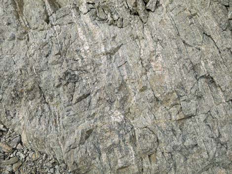 Dark metamorphic rock |
The old road on the valley bottom makes for easy walking, although sometimes it is easier to just walk in the desert. There is little cryptobiotic soil here, so leaving the old road makes little difference to the ecosystem. The old road ends (Wpt. 09) at the head of the valley, and the route continues up the wash intermittently following the sandy wash and animal trails. The wash runs up the canyon at a generally easy grade, but it steepens somewhat as it approaches the head of the valley. Eventually, however, the route breaks out onto the last saddle (Wpt. 10) with great views north and south. Descending the other side, animal trails continue but eventually fade into the landscape. Even so, the walking is easy in this burned area, and the route continues downhill until reaching Lincoln Mine Road (Wpt. 11). Turning left, the route follows the road up into the canyon, below the towering cliffs of Peak 1267, and returns to the trailhead (Wpt. 01). |
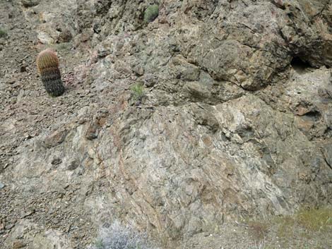 Barrel cactus growing on curious metamorphic rock |
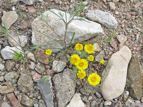 Spring wildflowers: Woolly Easterbonnets, Woollystar, and brome |
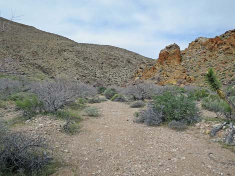 More curious geology: red-stained limestone |
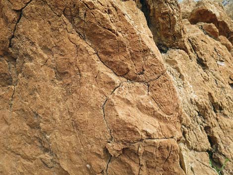 More curious geology: red-stained limestone |
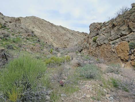 Healthy shrubs - the fire didn't get here |
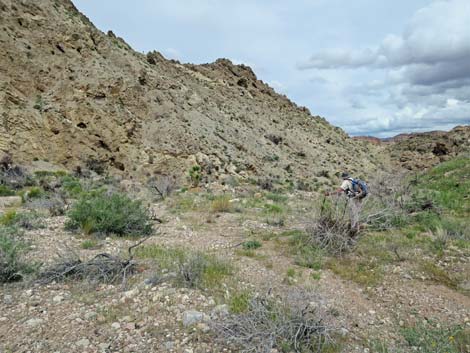 Continuing down the canyon (view N) |
Alternative 1: Old miner's road over saddle
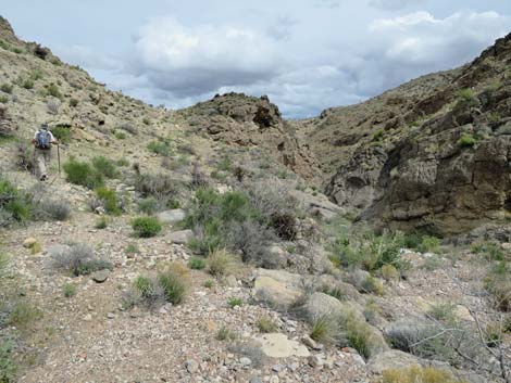 Old road left over saddle vs. narrow in canyon bottom |
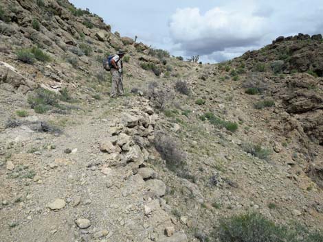 Hiker on old bypass road (view N) |
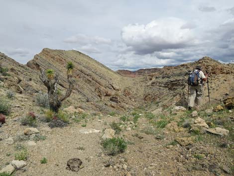 Hiker atop saddle on old bypass road (view NE) |
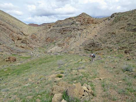 Hiker descending off saddle on old bypass road (view NE) |
Alternative 2: Route through Narrows
 Narrow canyon bottom vs. old road left over saddle |
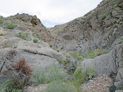 Starting into gray limestone narrows (view NE) |
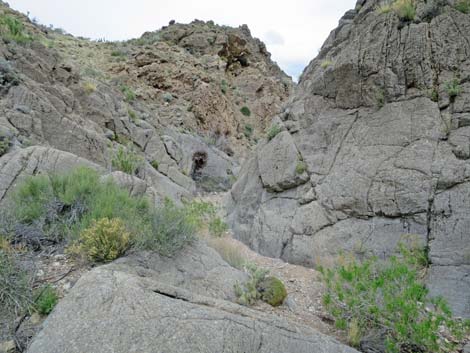 Polished limestone |
 Every tight spot is guarded by a catclaw acacia |
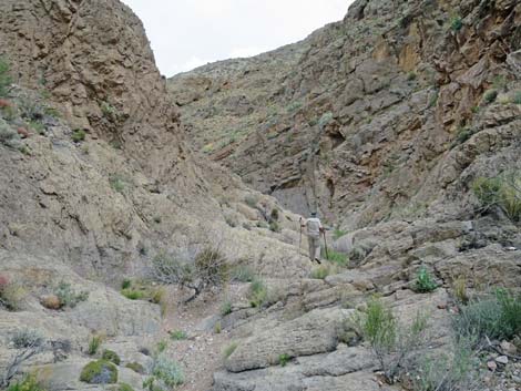 |
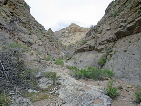 |
 Nearing the end of the narrow section |
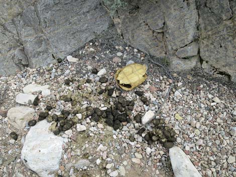 Desert tortoise carcass and feral burro scat |
 Desert tortoise carcass and feral burro scat |
 Desert tortoise carcass and feral burro scat |
Continuing Down the Canyon
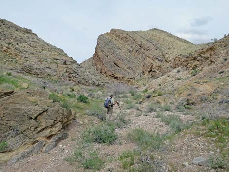 After narrows, route continues down the canyon (view NW) |
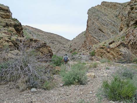 Continuing down the canyon (view NW) |
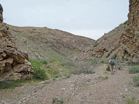 Easy hiking (view NW) |
 Layered limestone (view NW) |
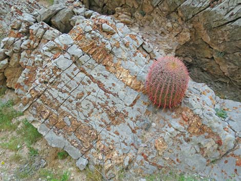 Barrel cactus growing from fossiliferous limestone boulder |
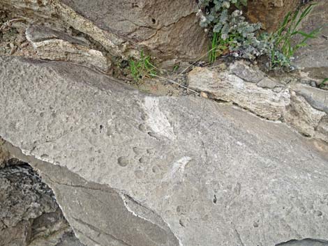 Fossils in the limestone and desert ferns (Parry's Lipfern) |
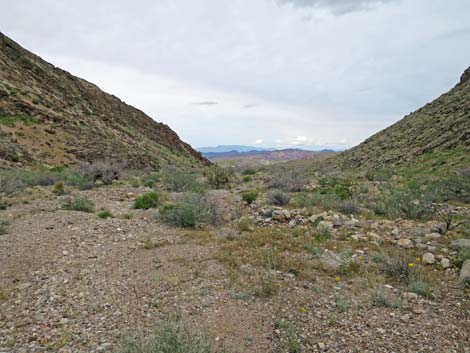 The canyon begins to widen |
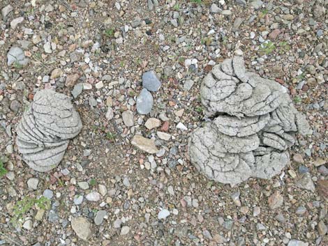 Cow pies (scat) from trespass cattle |
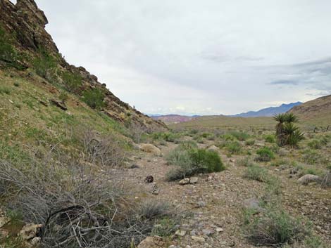 Last of the limestone crags on the flanks of Peak 1267 (view N) |
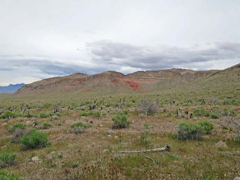 Permian Red Bed outcrop below limestone layers (view NW) |
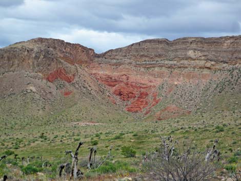 Permian Red Bed outcrop below limestone layers (zoom; view NW) |
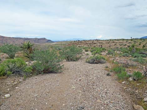 Broad, open wash in broad, open valley (view N) |
 Solitary limestone boulder in wash before dirt hillside (view N) |
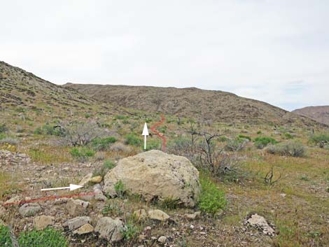 Solitary limestone boulder is a good landmark: turn left (view W) |
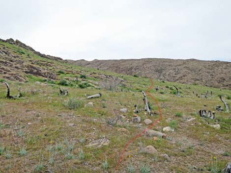 Route traverses gentle slopes (view W) |
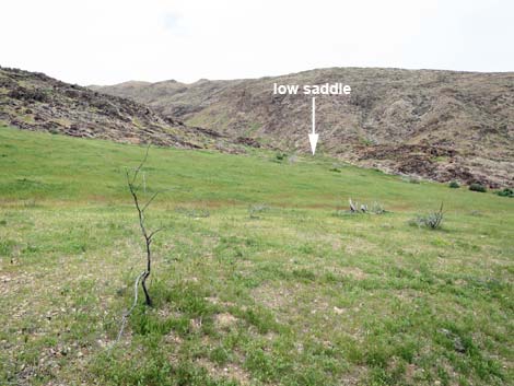 Route traverses gentle slopes towards low saddle (view W) |
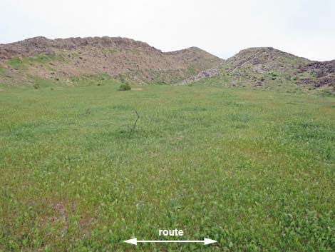 Vast field of invasive, fire-prone red brome grass (view SE) |
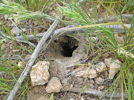 Tarantula hole with silk lining, but nobody is home |
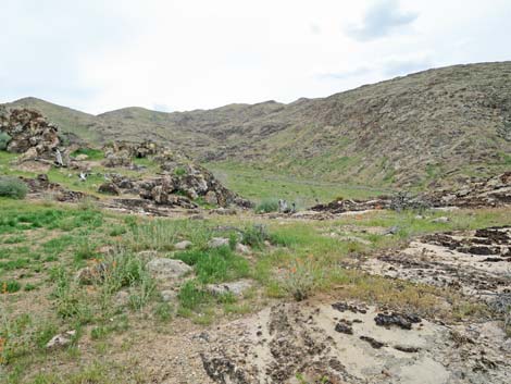 Low saddle (view SW into next valley) |
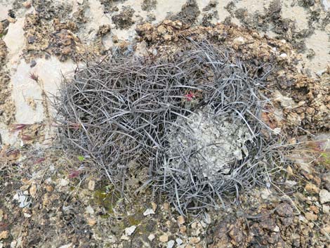 Dead barrel cactus with a seedling trying again in the same spot |
 Seedling barrel cactus amid spines of dead barrel cactus |
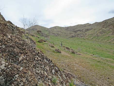 Descending off low saddle into the next valley (view SW) |
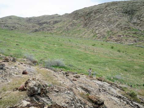 Hiker at base of limestone outcrop (view SW) |
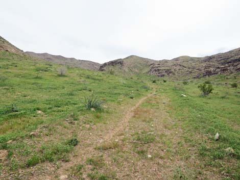 Animal trail follows old road up the valley (view S) |
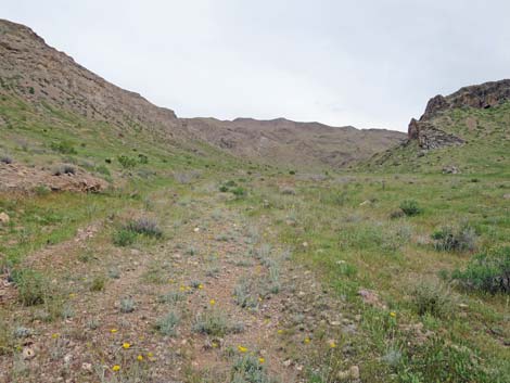 Route follows old road (view S towards backside of Peak 1267) |
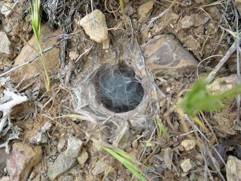 Tarantula hole with silk lining and cover; this spider is home |
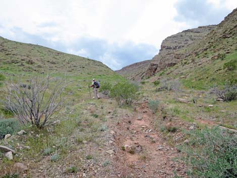 Canyon begins to narrow towards head of the valley |
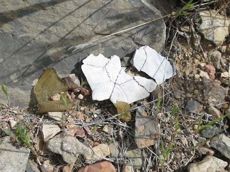 Remains of another desert tortoise |
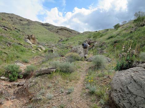 Animal trail continues up the narrowing canyon (view S) |
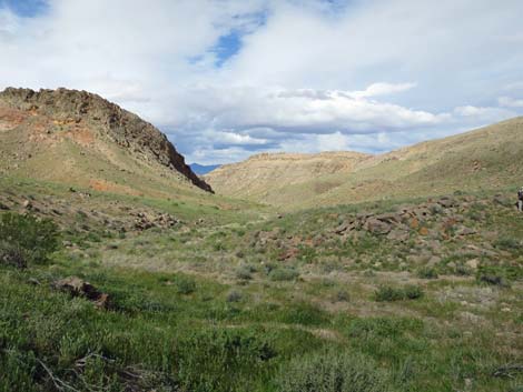 Looking back over early-spring landscape with sunlight (view N) |
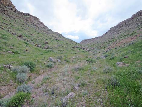 |
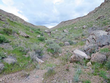 |
 Weeds: tumbleweed high in the canyon; legacy of ranching |
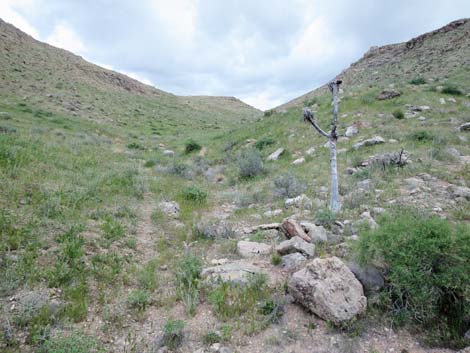 Getting high in the canyon (view S) |
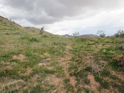 Approaching the last saddle (view S) |
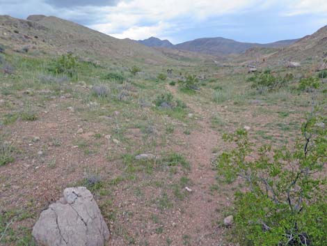 Atop the last saddle; animal trail continues (view S into the rain) |
 Wet hiker approaching Lincoln Mine Road (view S) |
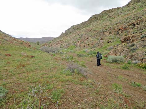 Wet hiker on Lincoln Mine Road (view E) |
 Wet hiker on Lincoln Mine Road (view E) |
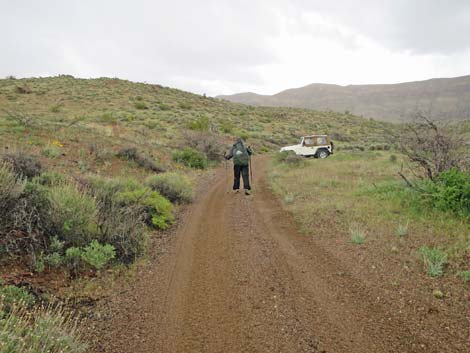 Wet hiker returning to trailhead (view E) |
Table 1. Hiking Coordinates and Distances Based on GPS Data (NAD27; UTM Zone 11S). Download Hiking GPS Waypoints (*.gpx) file.
| Wpt. | Location | UTM Easting | UTM Northing | Elevation (ft) | Point-to-Point Distance (mi) | Cumulative Distance (mi) |
|---|---|---|---|---|---|---|
| 01 | Trailhead | 751588 | 4026348 | 3,519 | 0.00 | 0.00 |
| 02 | First Low Saddle | 751603 | 4026455 | 3,684 | 0.09 | 0.09 |
| 03 | Merge into Main Wash | 752063 | 4027404 | 3,446 | 0.71 | 0.80 |
| 04 | Routes Diverge | 751791 | 4028331 | 3,240 | 0.75 | 1.55 |
| 05 | Routes Merge | 751869 | 4028529 | 3,156 | 0.16 | 1.71 |
| 06 | Solitary Limestone Boulder | 751240 | 4029649 | 3,136 | 1.02 | 2.73 |
| 07 | Low Saddle | 750822 | 4029538 | 3,131 | 0.28 | 3.01 |
| 08 | Route Joins Old Mining Road | 750679 | 4029438 | 3,099 | 0.12 | 3.13 |
| 09 | Old Mining Road Ends | 750789 | 4028004 | 3,385 | 0.98 | 4.11 |
| 10 | Last Saddle | 750449 | 4026706 | 3,776 | 0.92 | 5.03 |
| 11 | Route Joins Lincoln Mine Rd | 750323 | 4026424 | 3,704 | 0.22 | 5.25 |
| 01 | Trailhead | 751588 | 4026348 | 3,519 | 0.82 | 6.07 |
Happy Hiking! All distances, elevations, and other facts are approximate.
![]() ; Last updated 240325
; Last updated 240325
| Hiking Around Gold Butte | Hiking Around Las Vegas | Glossary | Copyright, Conditions, Disclaimer | Home |