
Hiking Around Las Vegas, Gold Butte National Monument

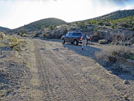
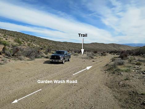 Garden Wash Road at Cobalt Mine trailhead (view NE) |
Overview The Cobalt Mine, actually the Quartz Load Claim, is a prospect where in 1982 miners found a deposit of cobalt ore with world class concentrations but limited quantity (Moyle and Buehler, 1990). As always has been the case with mining in Gold Butte, prospectors can find any mineral they want, but not in commercial quantities, and there was no record of any production from this site. Starting from Garden Wash Road, the route climbs over a ridge into the next wash to the north (Cobalt Wash), then follows the wash east to near the Arizona border. After a long walk down the gravel wash, an old road cuts steeply out of the wash up to the mine site, which is marked by a trench, two large pits, and nine smaller pits. From the mine, the easy route back returns up the same wash, but hiking south over a corrugated landscape drops hikers into Garden Wash, which can be followed up through the spectacular Garden Canyon and back to the trailhead. Link to map. |
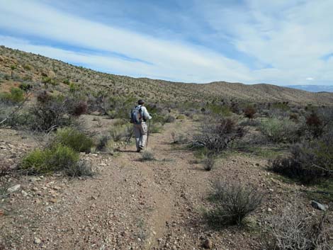 Departing the trailhead (view NE) |
Watch Out Other than the standard warnings about hiking in the desert, ...this is a particularly wild and remote area, but there are no unusual hazards. The mine is just a few pits and trenches, so there are no unsafe holes in the ground. This is a wild and remote area without services of any kind (no restrooms, no water, no gas, no food). Bring what you need to survive. Be prepared and be self-reliant. Someone will find you eventually if you stay on a main road, but be prepared to survive alone for a day or two. AT&T cell phones actually work at the mine site, probably hitting a cell tower to the south in Arizona. 4WD is best on Garden Wash Road, but I normally drive my jeep in 2WD. While hiking, please respect the land and the other people out there, and try to Leave No Trace of your passage. Also, this is a remote hike, so be sure to bring the 10 Essentials. This hike goes into the Million Hills Wilderness Study Area, so pay particular attention to respecting the land and please leave the ore as it lays so that others can see it the way you saw it. |
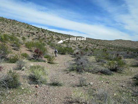 Trail drifts left towards north edge of wash to old road (view NE) |
Getting to the Trailhead The Cobalt Mine is located out in Gold Butte National Monument at the northeast end of Lake Mead, about 4 hours northeast of Las Vegas in a wild, remote, and scenic area adjacent to the Arizona Border. From town, drive out to Gold Butte National Monument. From Whitney Pocket, continue south on the unpaved Gold Butte Road for 16.2 miles to a fork in the road. Stay left onto Devils Cove Road and drive southeast for an additional 1.0 miles to Garden Spring Road, a sandy road in the wash on the left. Following Garden Spring Road 0.7 miles to Garden Spring and Corral, Garden Wash Road forks left in front of the corral. Driving 2.9 miles northeast on Garden Wash Road, the road arrives at the trailhead, a wide spot in the wash with parking on the left (north) side. Park here; this is the trailhead. |
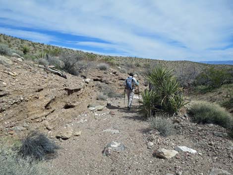
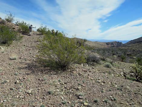 Hiker on old road climbing out of Garden Wash (view E) |
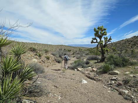
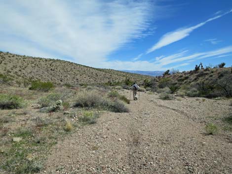
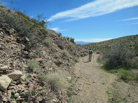
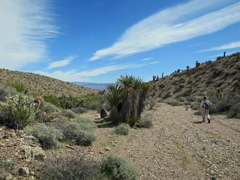
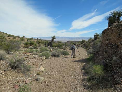
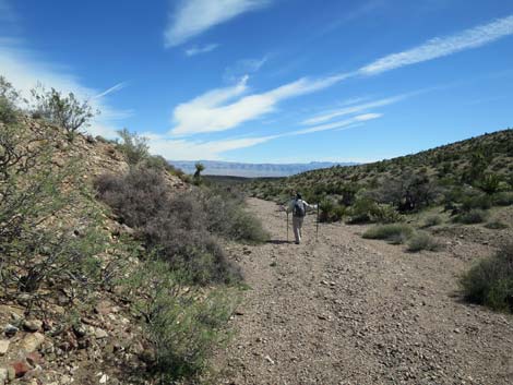
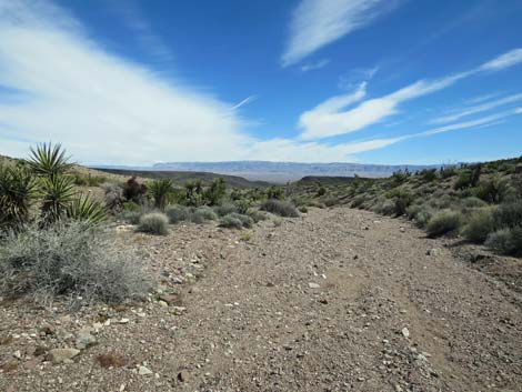
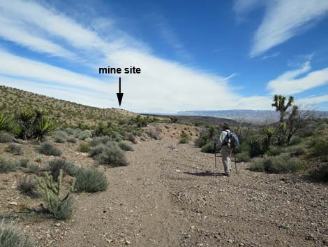
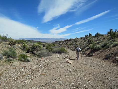
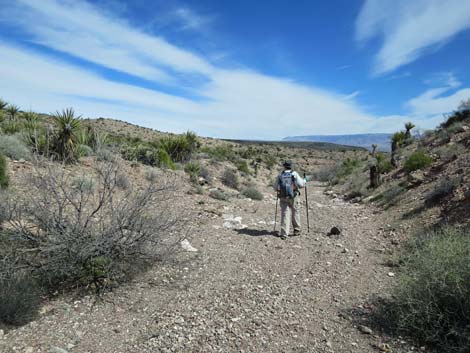
The Hike From the trailhead (Table 1, Waypoint 01), the route runs down the wash staying on the north side. At about 260 yards out, an old road cuts up the side of the ridge to the north. Following this old road, the route climbs rather steeply up across the hillside to the crest of the ridge (Wpt. 02). It is hard to see, but the road forks atop the ridge. One fork runs east along the top of the ridge, while the main fork continues over the ridge and down the other side. Angling down across the north-facing hillside, the old road disappears into Cobalt Wash (Wpt. 03) and continues downstream. The route runs down the wash for 2.4 miles. The hike is easy, just a gentle downgrade in a wash with fairly firm soils, and the scenery keeps changing. The wash is wide, narrow, has high steep walls, has low sloping walls, has caliche walls with interesting holes to investigate, and has well vegetated parts. |
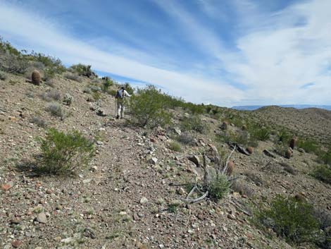 Hiker on old road approaching crest of ridge (view NE) |
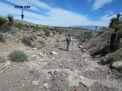
For the entire 2.4 miles down the wash, the walking is in gravel. However, at that distance, the wash runs over caliche ledges. The lowest caliche ledge forms a 3-4 ft high pour-over (Wpt. 04), and at that point, notice that a burro trail exits the wash to the right. This is the start of the route to Garden Wash, should hikers choose to return that way. Continuing down the wash, in only 70 yards from the lower pour-over, an old road (Wpt. 05) exits the wash to the left. The route follows this old road steeply out of the wash, then northeast. The road drops through a broad wash, then climbs steeply up the next hillside. Near the crest of the ridge, where the old road is quite steep, stop for a moment and notice the trench carved into the hillside ahead to the right. This is the first evidence of arriving at the mine site. The old road ends (Wpt. 06) atop the ridge where the only metal at the mine site (frames of two old chairs) lies baking in the desert sun. |
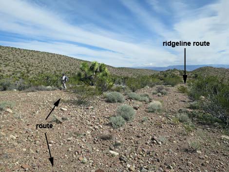 Old road forks at crest of the ridge; stay left (view NE) |
From the end of the road, a short spur road turns back and heads straight up the hillside. Near the start of this spur road, a small pit with some ore can be seen on the right. A bit farther up, a 4x4 wooden mining claim marker post can be seen 40 yards to the right (north). The marker sits near the Upper Mine Pit (Wpt. 07). The Lower Mine Pit (Wpt. 08) sits about 50 feet down the ridge, and a small test pit lies between the two. The Upper Mine Pit (Wpt. 07) is the most interesting pit at the mine. Rocks were dug out revealing an outcrop capped by a layer of conglomerate and what apparently formed the top of a small cave. Water seeping into the cave precipitated calcium carbonate into a crystalline form of calcite called aragonite. included within the argonite are layers of leaf-like or fern-like deposits of cobalt-bearing manganese oxide. The Lower Mine Pit (Wpt. 08) has similar deposits, but smaller quantities. When finished at the two mine pits, hikers might consider walking to the top of the ridge above the pits. The low knob makes a nice place to eat lunch and take in the expansive, 360-degree view, which includes the Virgin Mountains to the north and the end of the Grand Canyon to the southeast. |
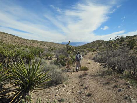 Old road descends towards wash (view NE) |
When ready, return to the trailhead by returning back up Cobalt Wash and the old roads, or consider hiking south to Garden Wash and returning up through Garden Canyon. If hiking south, the route cuts across the grain of the corrugated landscape, and the farther east one hikes, the easier is the crossing; but of course, the shorter route is due south. Regardless, the route south cuts across numerous washes, some deep and some not so deep, with several "false summits." When hikers arrive atop impassible cliffs above a broad wash, they have arrived at Garden Wash. The easier descent is at the west end, close to the toe of the mountains. In Garden Wash, the route turns west and follows the wash up through Lower Garden Canyon and Upper Garden Canyon, past Azure Mine (copper) and Azure Cabin, and back to the trailhead. Reference: Moyle, P.R., and A.R. Buehler, 1990. Site-specific investigation of a cobalt/manganese occurrence in the Million Hills [Wilderness] Study Area, Clark County, Nevada: U.S. Bureau of Mines Mineral Land Assessment Open-File Report MLA-3- 90, 41 p. |
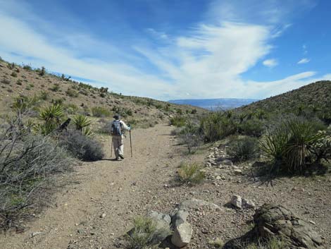 Old road disappears into the wash (view NE) |
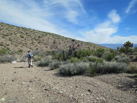 Hiker in the wash (view NE) |
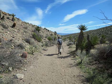 Hiker in the gravel wash (view E) |
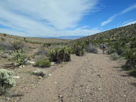 Hiker in the gravel wash (view E) Hiker in the gravel wash (view E) |
 |
 |
 |
 |
 |
 |
 |
 |
 |
 |
 Hiker approaching low caliche pour-overs (view NE) |
 Wash runs over low caliche pour-overs (view NE) |
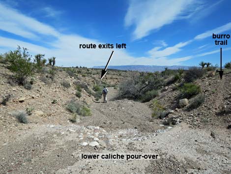 Lowest caliche pour-over; 3-ft drop (view NE) |
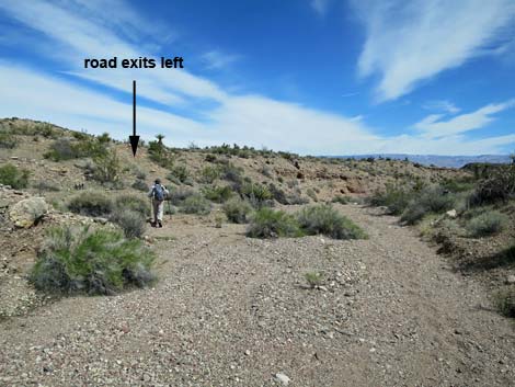 Old road exits the wash (view NE) |
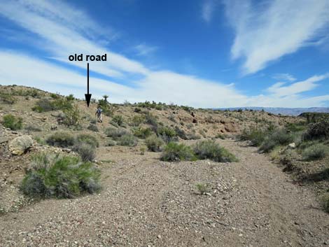 Hiker on old road exiting the wash (view NE) |
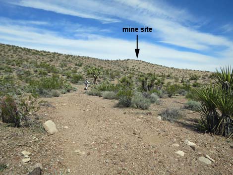 Hiker on old road (view NE) |
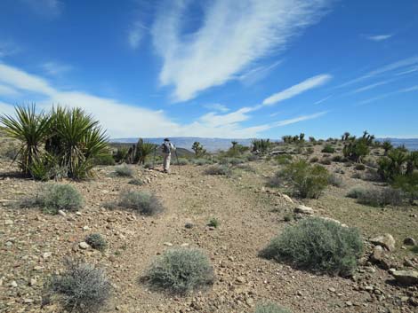 Old road crosses a low ridge (view NE) |
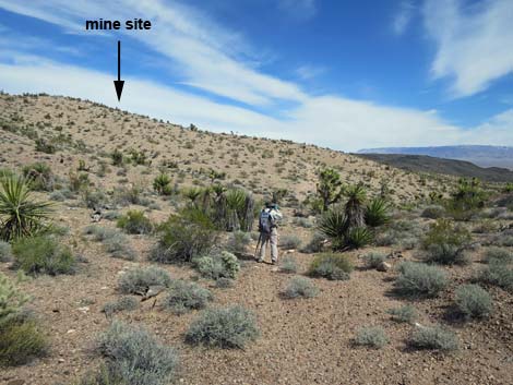 Old road crosses a shallow wash (view NE) |
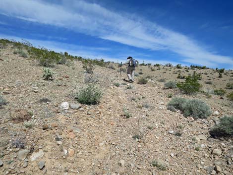 The old road climbs the hillside (view N) |
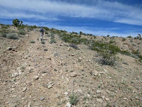 The old road climbs the hillside steeply (view N) |
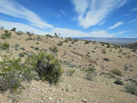 Trench on hillside -- first evidence of mining activity (view NE) |
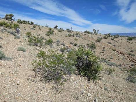 Hiker on old road approaching crest of the ridge (view NE) |
 Hiker on old road arriving at crest of the ridge (view NE) |
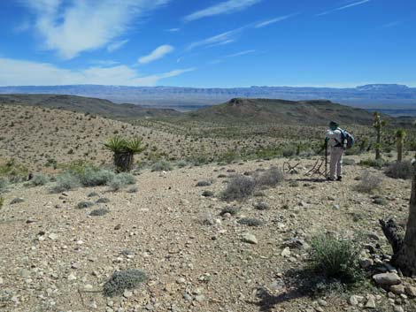 End of old road (view E) |
Cobalt Mine Site
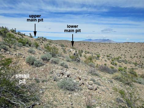 Near end of the road, small prospect pit and ore (view N) |
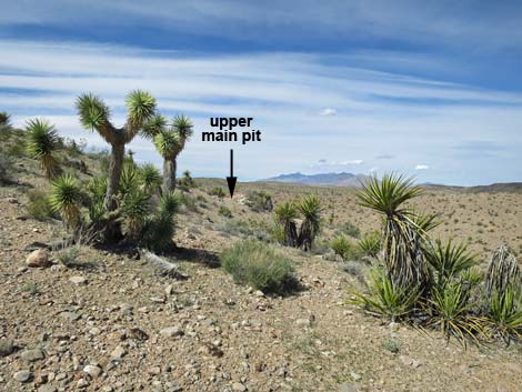 Upper main pit visible from old road (view N) |
 Small pit en route to the upper main pit (view N) |
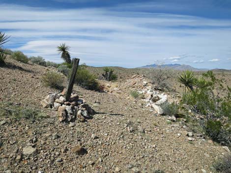 Wooden mining claim marker at the upper main pit (view N) |
Upper Cobalt Mine Main Pit
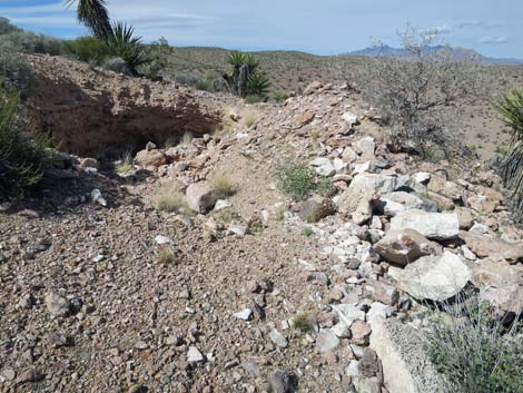 Approaching upper main pit (view N) |
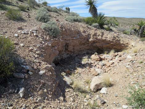 Upper main pit (view N) |
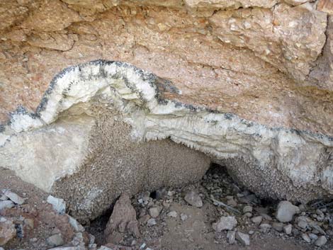 Argonite (white mineral) layer in the upper main pit (view N) |
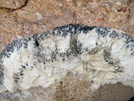 Argonite and cobalt ore in the upper main pit (view N) |
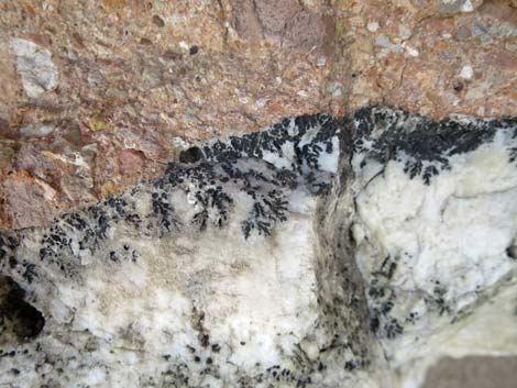 Argonite with fern-like deposits of cobalt-bearing manganese oxide |
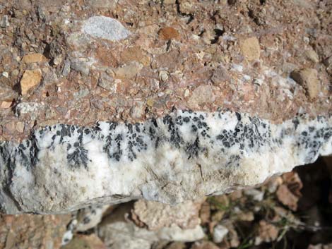 Conglomerate roof of cave and argonite with cobalt ore |
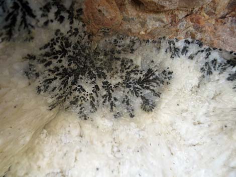 Argonite with fern-like deposits of cobalt-bearing manganese oxide |
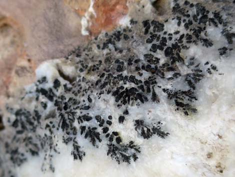 Cobalt-bearing manganese oxide |
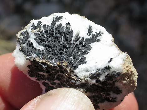 Fern-like deposits of cobalt-bearing manganese oxide |
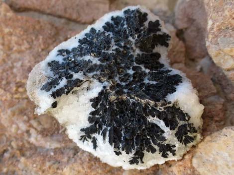 Fern-like deposits of cobalt-bearing manganese oxide |
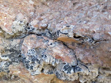 Flow-stone deposits near top of cave with cobalt ore |
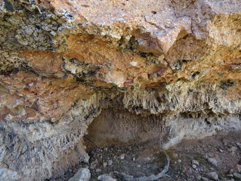 Roof of the cave with argonite deposits |
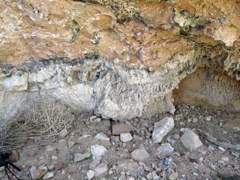 Argonite deposit |
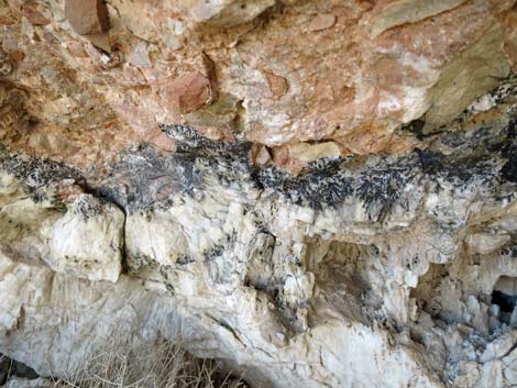 Argonite deposits with cobalt ore |
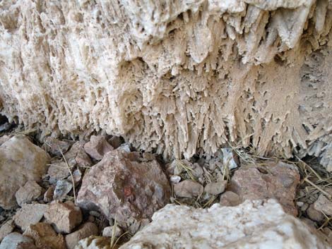 Argonite deposit formed like stalactites from roof of cave |
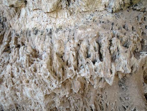 Argonite deposit formed like stalactites from roof of cave |
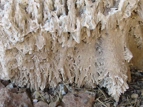 Argonite deposit formed like stalactites from roof of cave |
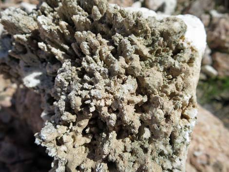 Argonite deposit: looking straight up at stalactites |
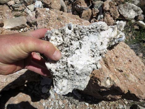 Argonite deposits with cobalt ore in tailings pile |
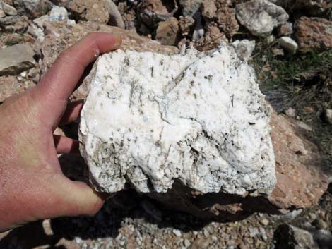 Argonite deposits with cobalt ore in tailings pile |
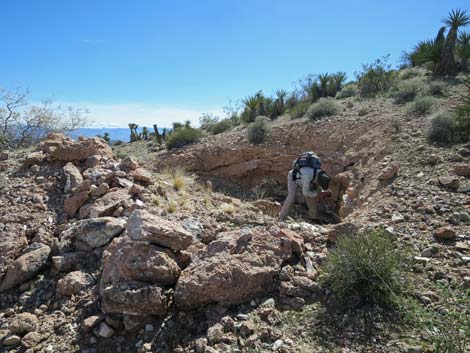 Hiker inside upper main pit (view S) |
 More to come ... |
Lower Cobalt Mine Main Pit
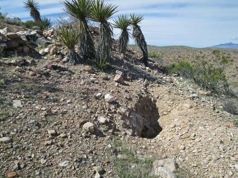 Small test pit between Upper and Lower Main Pits (view N) |
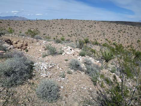 Approaching Lower Main Pit (view N) |
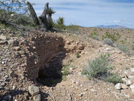 Lower Main Pit (view N) |
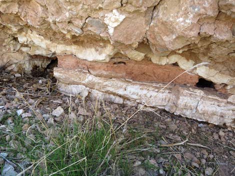 Argonite with deposits of cobalt-bearing manganese oxide |
Cobalt Mine Trench
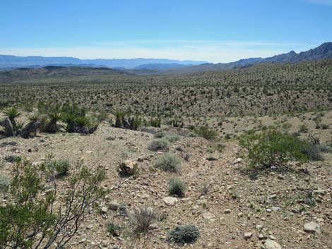 Trench (view S from old road) |
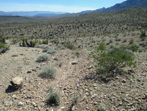 Trench (view S) |
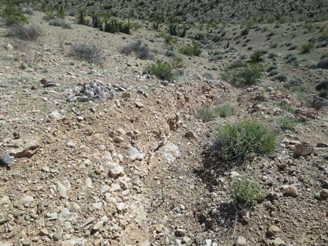 Trench with argonite and cobalt-bearing manganese oxide (view S) |
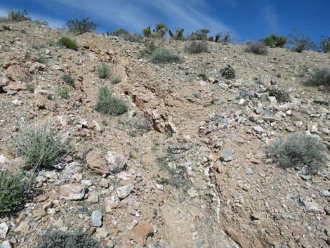 Trench with argonite and cobalt-bearing manganese oxide (view N) |
Mine Site Scenery: View from knob atop the ridgeline
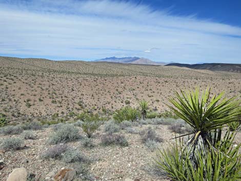 Virgin Mountains (view N) |
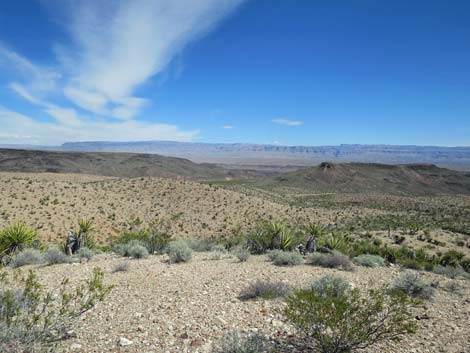 Grand Wash and Grand Wash Cliffs in Arizona (view NE) |
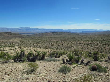 Grand Wash Cliffs and end of the Grand Canyon (view SE) |
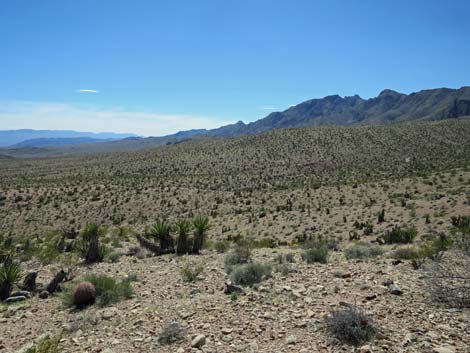 Azure Ridge and the route to Garden Wash (view S) |
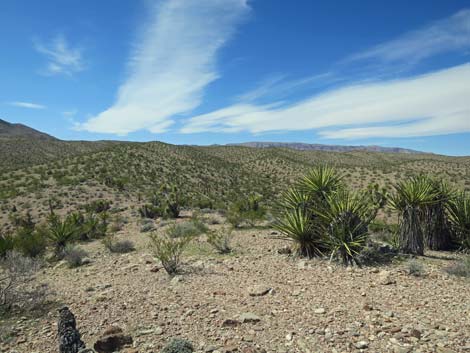 Rolling hills and desert vegetation (view E) |
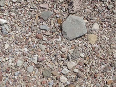 Mixed soils: carbonate rocks and metamorphic rocks |
Departing the Cobalt Mine Site
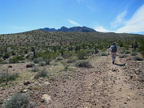 Hiker following old road back towards Cobalt Wash (view SW) |
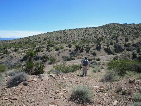 Hiker arriving back at Cobalt Wash (view SW) |
Return to Trailhead via Garden Wash
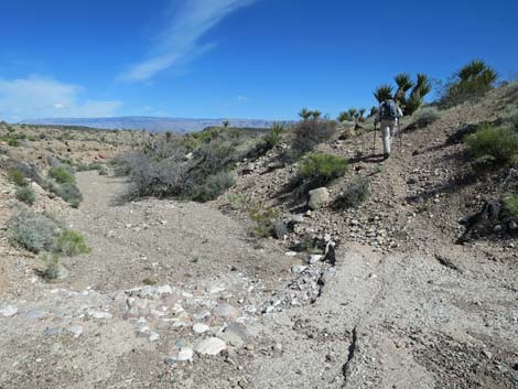 Hiker departing Cobalt Wash at caliche pour-over (view SW) |
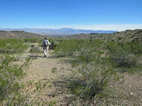 Burro trail quickly fades away (view SE) |
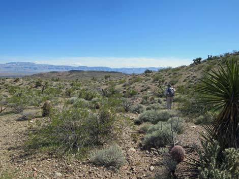 Still trending southeast away from Cobalt Wash (view SE) |
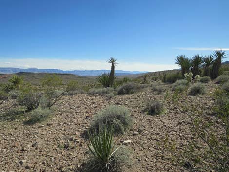 First views south since leaving Cobalt Wash (view SE) |
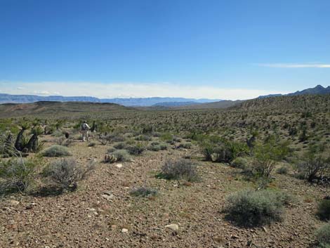 Some easy hiking (view SSE) |
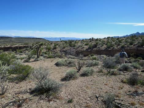 Some obstacles (view SSE) |
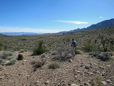 |
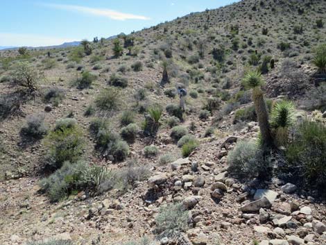 |
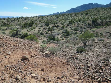 |
 |
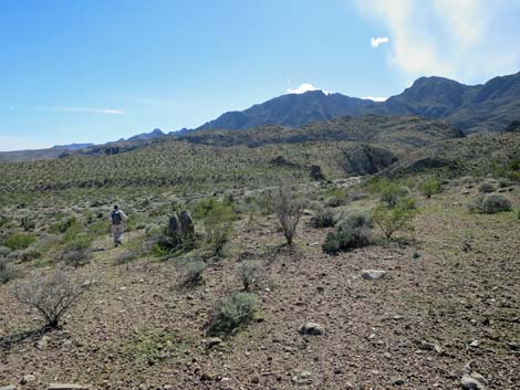 Approaching Garden Wash (view SSW) |
 Grand view across Garden Wash towards Grand Canyon (view SE) |
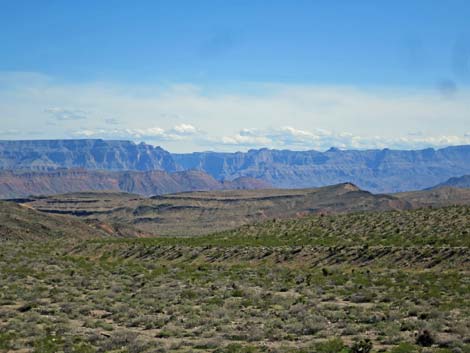 End of the Grand Canyon (view SE) |
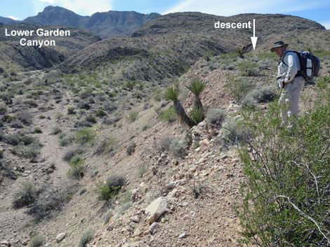 Cliffs at edge of wash block travel (view W) |
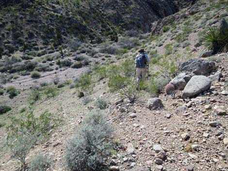 Descending burro trail towards side canyon in Garden Wash (view W) |
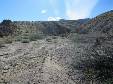 Garden Wash (view W) |
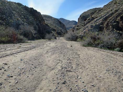 Hiker entering Lower Garden Canyon (view W) |
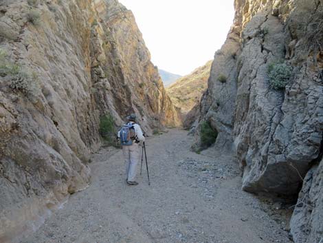 Hiker in Lower Garden Canyon (view W) |
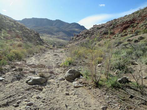 Hiker exiting Lower Garden Canyon (view W) |
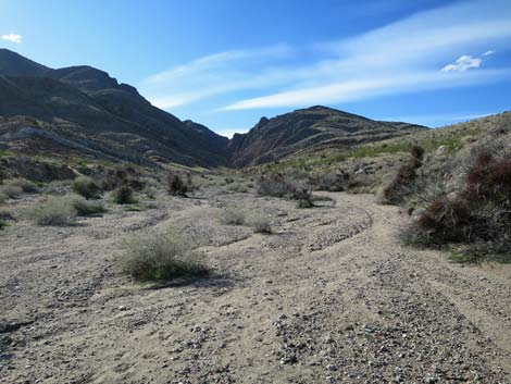 Garden Wash between Upper and Lower Garden canyons (view W) |
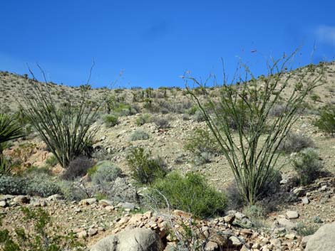 Blooming ocotillo along Garden Wash (view N) |
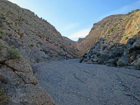 Hiker entering Upper Garden Canyon (view W) |
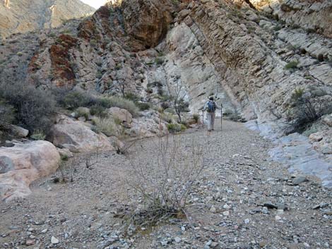 Hiker in Upper Garden Canyon (view W) |
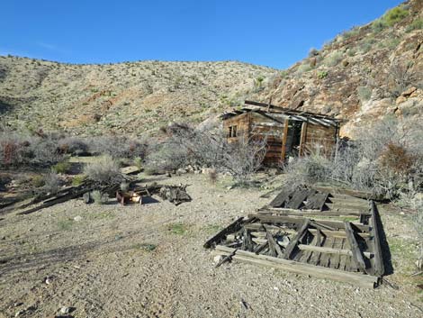 Azure Cabin (view N) |
 Garden Wash Road (view W) |
 Returning to trailhead along Garden Wash Road (view W) |
Table 1. Hiking Coordinates Based on GPS Data (NAD27, UTM Zone 11S). Download Hiking GPS Waypoints (*.gpx) file.
| Wpt. | Location | UTM Easting | UTM Northing | Elevation (ft) | Point-to-Point Distance (mi) | Cumulative Distance (mi) |
|---|---|---|---|---|---|---|
| 01 | Trailhead | 760113 | 4022875 | 2,442 | 0.00 | 0.00 |
| 02 | Ridgeline | 760329 | 4023290 | 2,540 | 0.31 | 0.31 |
| 03 | Old Road Enters Wash | 760574 | 4023505 | 2,480 | 0.21 | 0.52 |
| 04 | Burro Trail Leaves Wash | 763916 | 4023977 | 2,419 | 2.42 | 2.94 |
| 05 | Old Road Leaves Wash | 763967 | 4024013 | 1,857 | 0.04 | 2.98 |
| 06 | End of Old Road | 764143 | 4024283 | 1,935 | 0.23 | 3.21 |
| 07 | Upper Cobalt Mine | 764101 | 4024330 | 2,479 | 0.15 | 3.36 |
| 08 | Lower Cobalt Mine | 764116 | 4024332 | 2,471 | 0.00 | 3.36 |
| 01 | Trailhead | 760113 | 4022875 | 2,442 | 3.36 | 6.72 |
| . | . | . | . | . | . | . |
| . | Return Via Garden Canyon | . | . | . | . | . |
| 07 | Upper Cobalt Mine | 764101 | 4024330 | 2,479 | 0.00 | 3.36 |
| 04 | Burro Trail Leaves Wash | 763916 | 4023977 | 2,419 | 0.42 | 3.78 |
| 09 | Enter Garden Wash | 763904 | 4022553 | 2,305 | 1.27 | 5.05 |
| 10 | Top - Lower Canyon | 763568 | 4022514 | 2,362 | 0.23 | 5.28 |
| 11 | Bottom - Upper Canyon | 762957 | 4022729 | 2,448 | 0.43 | 5.71 |
| 12 | Azure Mine | 761927 | 4023111 | 2,772 | 1.02 | 6.73 |
| 13 | Azure Cabin | 761592 | 4023127 | 2,820 | 0.26 | 6.99 |
| 01 | Trailhead | 760113 | 4022875 | 2,442 | 1.02 | 8.01 |
Happy Hiking! All distances, elevations, and other facts are approximate.
![]() ; Last updated 240325
; Last updated 240325
| Hiking Around Gold Butte | Hiking Around Las Vegas | Glossary | Copyright, Conditions, Disclaimer | Home |