
Hiking Around Las Vegas, Death Valley National Park

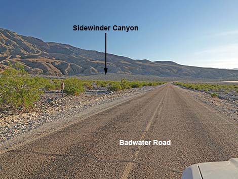 Badwater Road (view S with Sidewinder Canyon in the distance) |
Overview Sidewinder Canyon Road is a short spur off Badwater Road that leads to the Sidewinder Canyon Trailhead, which serves Sidewinder Canyon and Willow Canyon. The road is unpaved, but parts of the parking area are paved because it is used by the road maintenance crew to store gravel and other road repair materials. As such, they tend to keep this road in reasonably good shape and suitable for sedans. Link to Road Map. Watch Out Other than the standard warnings about driving in the desert, ...the road is short and pretty safe, but stay out of the area if it is raining or threatens to rain because of flash flood dangers. When out, please respect the land and the other people out there, and try to Leave No Trace of your passage. Also, this hike is fairly long and remote, so be sure to bring the 10 Essentials. Don't block the gravel piles at the trailhead in case the road crew needs to work there. |
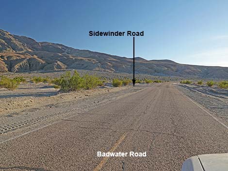 Badwater Road approaching Sidewinder Canyon Road (view S) |
Getting to the Trailhead This road is located in Death Valley National Park, about 3.5 hours northwest of Las Vegas. From town, drive out to Death Valley. From the Furnace Creek Visitor Center (Table 1, Site 0712), drive south on Highway 190 for about 1.25 miles to the Badwater (Highway 178) turnoff (Site 0741). Turn right towards Badwater, and drive south for about 31.2 miles to a well-graded dirt road on the east (left) side of the road (Site 0773). This is 14.8 miles (and the first side road) south of Badwater (Site 0714). The Road There is a small sign at the start of Sidewinder Canyon Road. From the pavement, the gravel pit is visible at the end of the dirt road. Drive southeast for about 0.3 miles into the gravel pit area. Turn right and park on the south end of the paved area; this is Sidewinder Trailhead (Site 0774). The north end of the paved area is the trailhead for Willow Canyon, another worthwhile hike. |
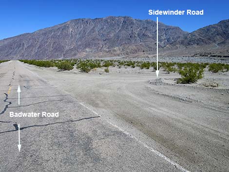 Badwater Road northbound at Sidewinder Canyon Road (view N) |
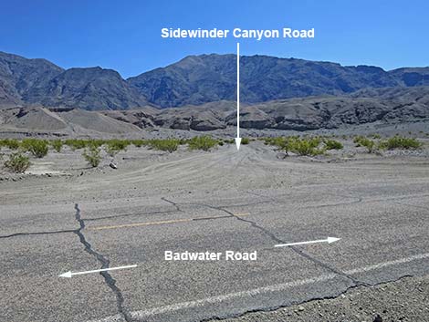 Sidewinder Canyon Road (view SE from Badwater Road) |
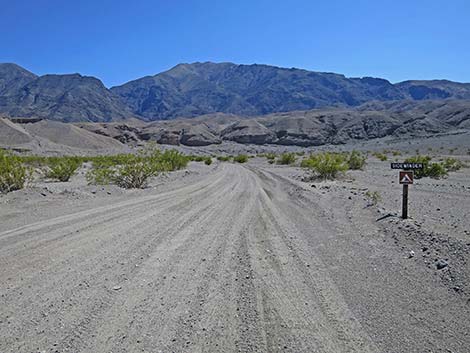 Sidewinder Canyon Road (view SE from Badwater Road) |
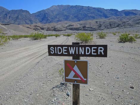 Sidewinder Canyon Road at road sign (view SE) |
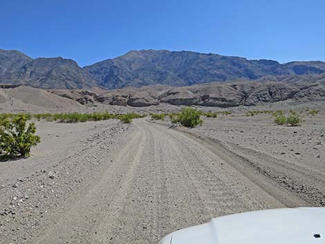 Sidewinder Canyon Road (view SE) |
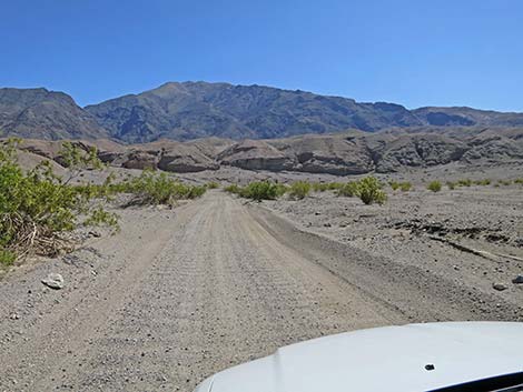 Sidewinder Canyon Road (view SE) |
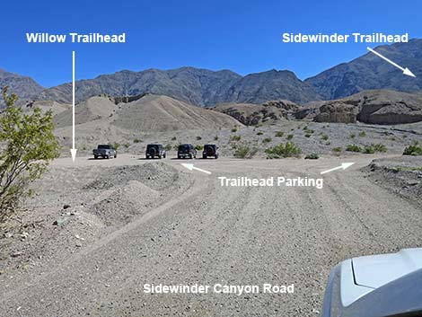 Sidewinder Canyon Road approaching the gravel pit (view SE) |
 More to come ... |
Sidewinder Trailhead
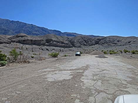 Gravel pit area (view S from Sidewinder Canyon Road) |
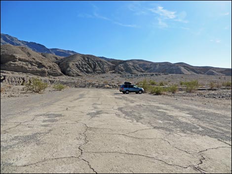 Sidewinder Canyon Trailhead (view S from Sidewinder Canyon Road) |
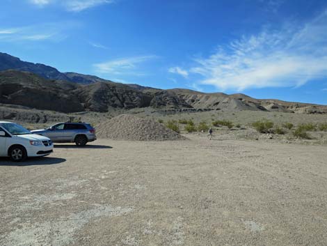 Sidewinder Canyon Trailhead parking with a pile of gravel (view S) |
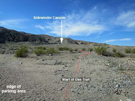 Sidewinder Canyon Trailhead parking without a pile of gravel (view S) |
Willow Trailhead
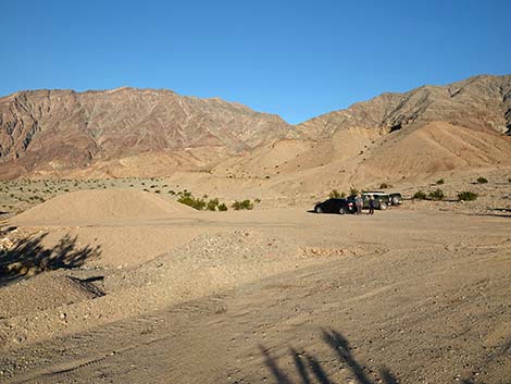 Sidewinder Road approaching Willow Canyon Trailhead (view NE) |
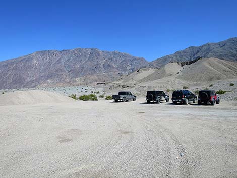 Willow Canyon Trailhead (view N from Sidewinder Canyon Road) |
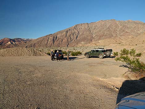 Willow Canyon Trailhead (view N) |
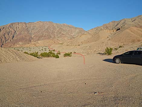 Willow Canyon Trailhead (view NE) |
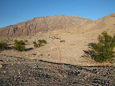 Willow Canyon Trailhead (view N) |
 More to come ... |
Table 1. Highway Coordinates Based on GPS Data (NAD27; UTM Zone 11S). Download Highway GPS Waypoints (*.gpx) file.
| Site # | Location | Latitude (N) | Longitude (W) | Easting | Northing | Elevation (ft) | Verified |
|---|---|---|---|---|---|---|---|
| 0712 | Furnace Creek Visitor Center | 36.46159 | 116.86574 | 512030 | 4034954 | -186 | Yes |
| 0714 | Badwater Parking | 36.22981 | 116.76638 | 520995 | 4009262 | -280 | Yes |
| 0741 | Hwy 190 at Badwater Rd | 36.44841 | 116.85192 | 513271 | 4033494 | 4 | Yes |
| 0773 | Hwy 178 at Sidewinder Canyon Rd | 36.06763 | 116.74712 | 522773 | 3991279 | -253 | Yes |
| 0774 | Sidewinder Canyon Parking | 36.06491 | 116.74390 | 523063 | 3990978 | -240 | Yes |
Happy Hiking! All distances, elevations, and other facts are approximate.
![]() ; Last updated 240324
; Last updated 240324
| Death Valley | Hiking Around Las Vegas | Glossary | Copyright, Conditions, Disclaimer | Home |