
Hiking Around Las Vegas, Death Valley National Park

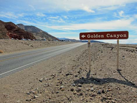 Badwater Road at Golden Canyon Road (view S) |
Overview This is a fairly easy, 1.5-mile walk up a picturesque, narrow, and geologically interesting canyon (3 miles round-trip). The route ends at the base of the Red Cathedral, a brick-red wall that towers above the end of the canyon. Along the first mile, trail markers coordinate with a printed booklet that provides information on the geology of the area. Hiking up the canyon for about 0.5 miles past the last marker brings you to the base of the Red Cathedral, which can be seen from many places along the upper portion of the trail. The hike returns over the same trail, as this is an in-and-out hike. The trail guide booklet is available at the Visitor Center and at the trailhead for a small fee. Link to map. |
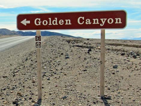 |
Watch Out Other than the standard warnings about hiking in the desert, ...this hike is pretty safe, but stay out of the canyon if it is raining or threatens to rain because of flash flood dangers. While hiking, please respect the land and the other people out there, and please try to Leave No Trace of your passage. Also, this is a fairly short hike, so just bring what you need of the 10 Essentials. Getting to the Trailhead This hike is located along Badwater Road in Death Valley National Park, about 2 hours northwest of Las Vegas. From town, drive out to Death Valley, pay the entrance fee, and then drive to the Golden Canyon Trailhead. Park here; this is the trailhead. |
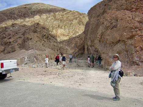 Trailhead (view NE) |
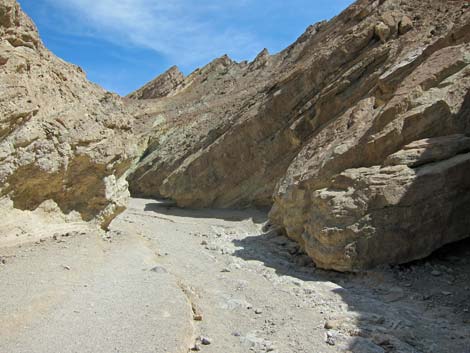
The Hike From the trailhead (Table 2, Waypoint 1), which is located at the top of a small alluvial fan on the edge of Death Valley, the trail immediately enters a narrow canyon that is about 20-ft wide and 30-ft deep. The wash here is loose gravel, but the walking is easy, and there are places where you can walk on the remains of an old, paved road that washed out during a flash flood in 1976. The hike runs uphill at a fairly gradual, but steadily grade. Low in the canyon, the canyon walls are formed by a coarse-grained conglomerate with a somewhat different texture than is seen in other canyons in the area (there are more large cobbles in the walls here). These alluvial materials eroded from a mountain range that once stood off to the west, but now is completely gone. |
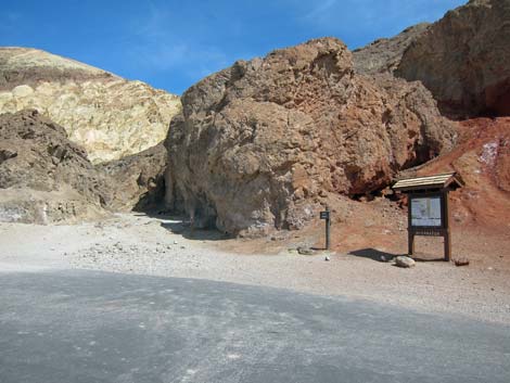 Trailhead sign (view NE) |
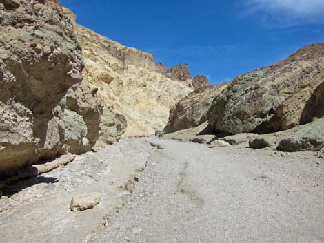
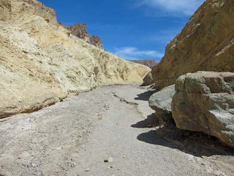
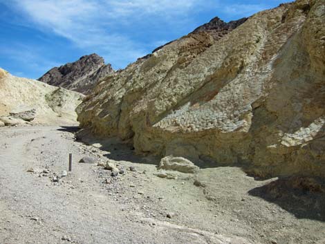
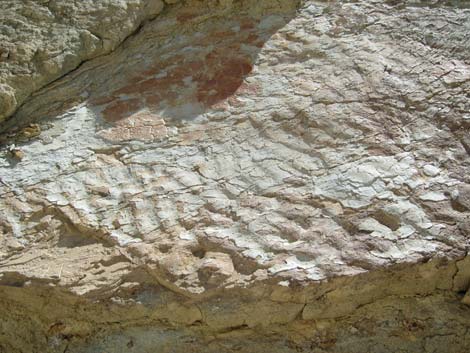
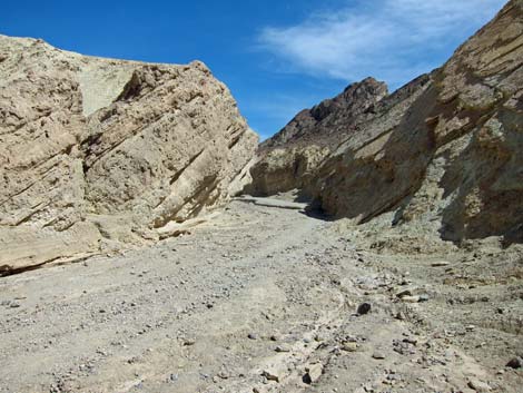
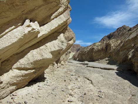
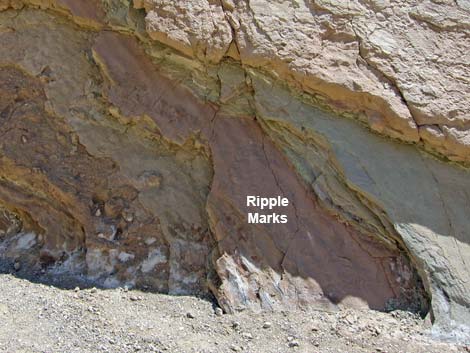
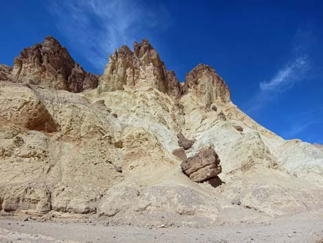
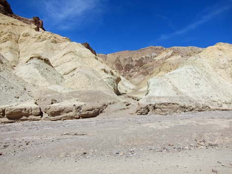
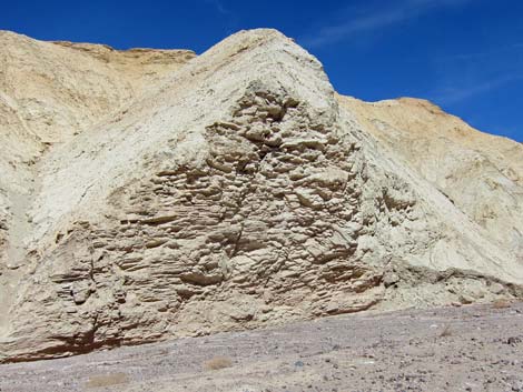
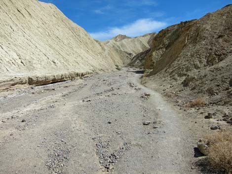
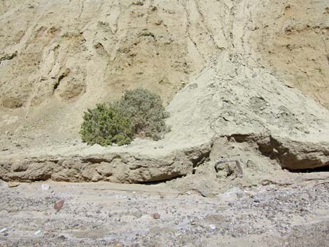
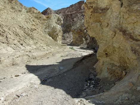
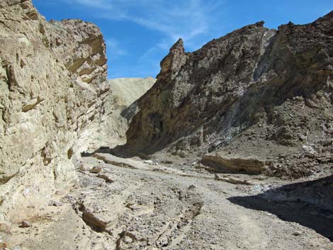
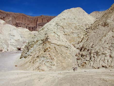
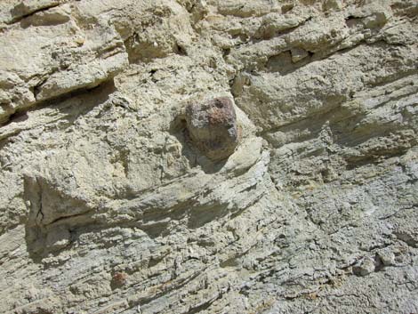
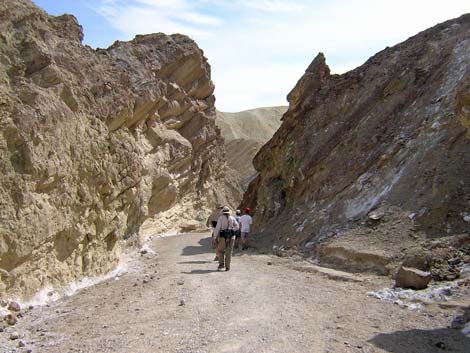
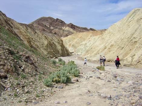
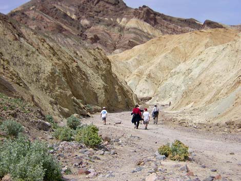
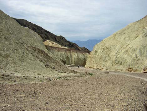
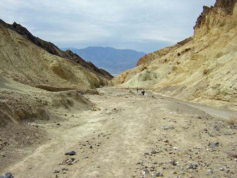
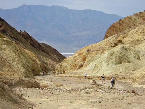
After about 10 minutes, the trail leaves the conglomerate rocks and enters an area with tall cliffs of a light-colored, fine sedimentary material (yellowish muds and silts from volcanic debris) that formed when these materials settled in the bottom of an ancient lake. There are places along the south (right) side of the trail where ripple marks are visible in the rocks that formed with this area was at the edge of a shallow lake or mudflat. From here on up the canyon, the walking generally is on a firm, smooth surface. After about 20 minutes, the trail passes the tall, light-colored cliffs and enters an area of light-colored mud hills. These hills seem to be the same sedimentary materials as below, but here they form mud hills rather than cliffs. The canyon narrows to about 10-ft wide, and although the walls are low, the canyon is quite pretty. |
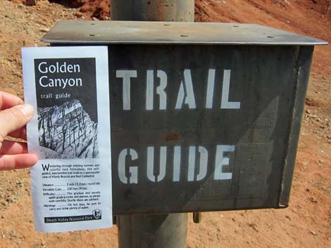 Pick up a Trail Guide |
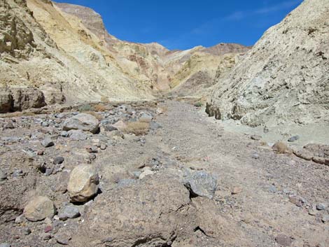
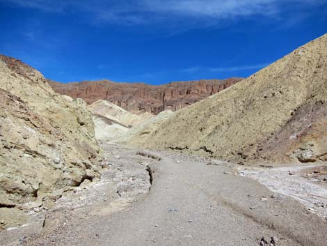
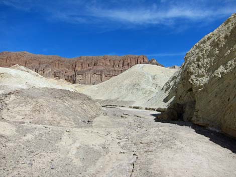
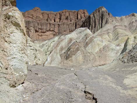
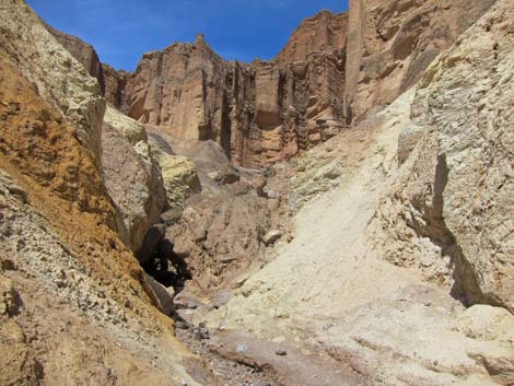
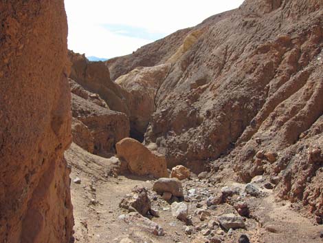
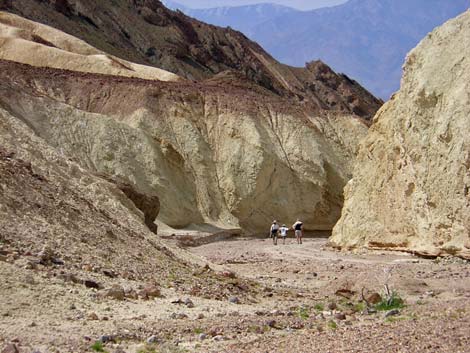
After about 30 minutes, and 1.0 miles out, the trail markers end at Trail Marker #10 (Wpt. 02). The trail forks here. The fork to the northeast (left; straight up the canyon) runs out to the base of Red Cathedral. A sign here says that it is 0.25 miles to Red Cathedral, but the base of the wall is actually about 0.5 miles out, although there are some nice views of Red Cathedral and Manly Beacon from about half-way out. The fork to the southeast (right) runs up over the mudhills, right under the sheer west face of Manly Beacon, and out to Gower Gulch and Zabriskie Point. Continuing up the canyon towards Red Cathedral, the trail runs through light-colored badlands with swirls of color, including grays, reds, browns, yellows, tans, whites, and oranges. Then just below Red Cathedral, the canyon gets rocky, narrow, and winding, and there are places where it twists around, and hikers have to crawl through holes under boulders and through slots before emerging at the base of the Red Cathedral cliffs (Wpt. 3). The trail dead-ends at Red Cathedral. From here, return to the trailhead by retracing your path down Golden Canyon or by hiking around the Gower Gulch Loop Trail. |
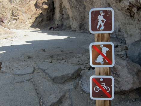 Signs: hikers only. No dogs or bicycles. Signs: hikers only. No dogs or bicycles. |
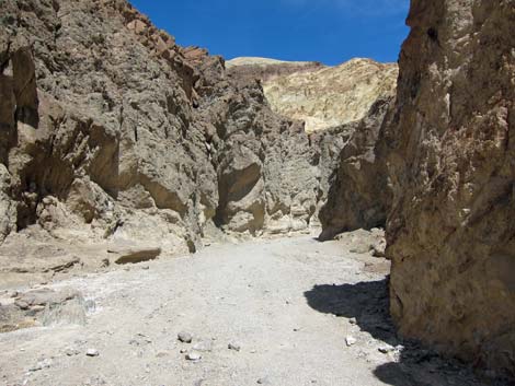 Trail leaves parking and enters canyon (view NE) |
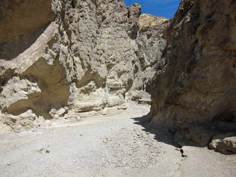 Canyon narrows |
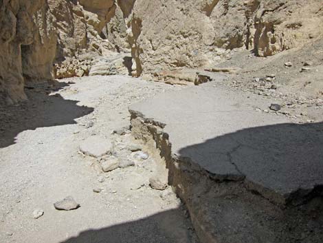 Pavement from the historic road |
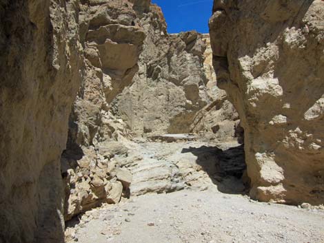 The biggest step-up in the canyon |
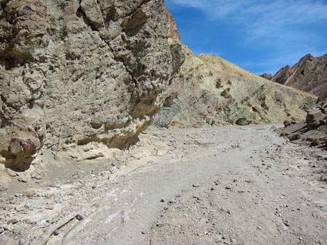 Hard rock and mud hills |
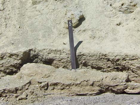
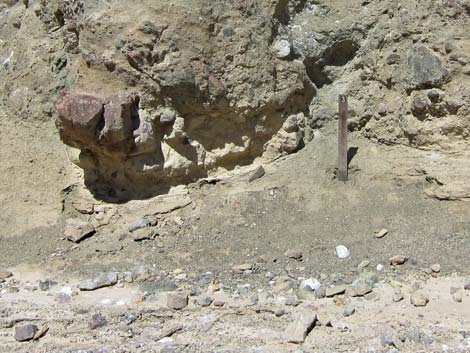 Numbered sign posts correlate with Trail Guide |
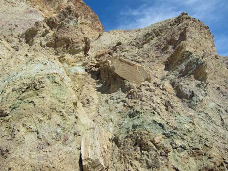 Watch for ripple marks from ancient lake bed |
 |
 |
 |
 |
 Numbered sign post ... |
 ... indicates ripple marks |
 |
 |
 |
 |
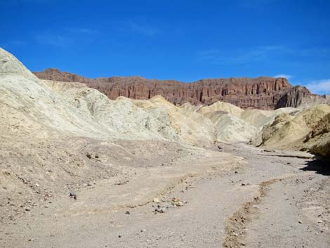 First view of Red Cathedral walls |
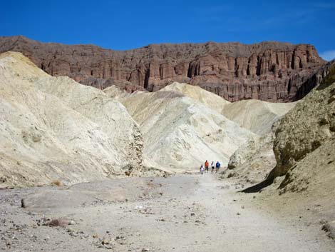 Hikers in Golden Canyon |
 |
 |
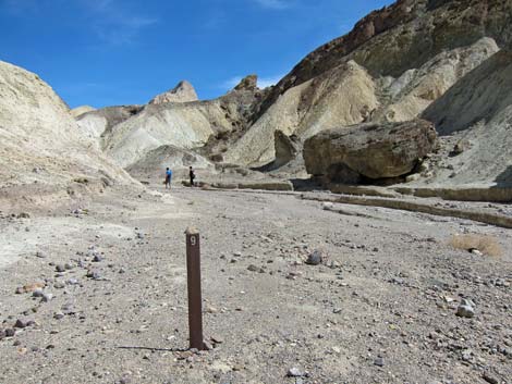 Marker #9 |
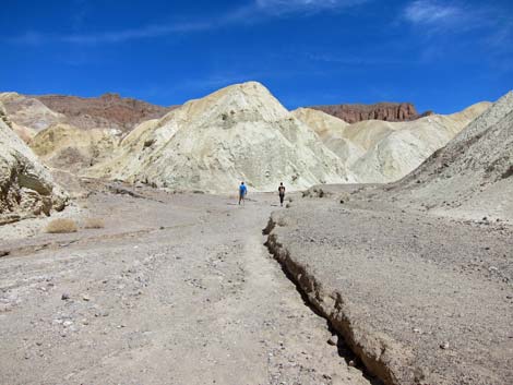 Main canyon and trail stays right |
 |
 |
 |
 |
 |
 |
 Colorful mudstones |
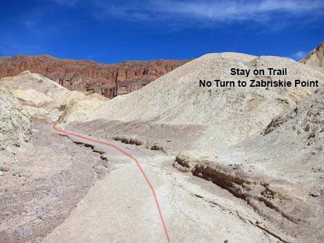 Not the trail junction to Zabriskie Point |
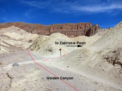 Approaching trail junction to Zabriskie Point (note signs) |
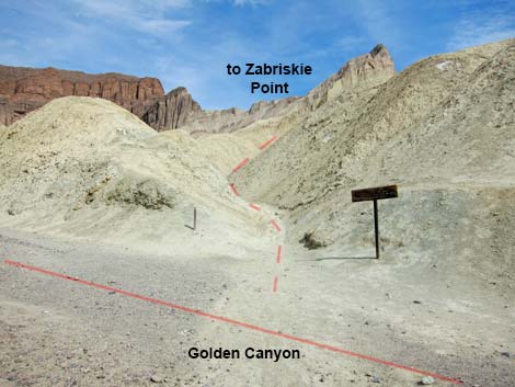 Trail junction to Zabriskie Point |
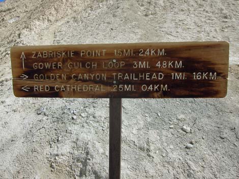 Trail sign at junction to Zabriskie Point (note that distance to Red Cathedral is not accurate; it is 0.47 miles) |
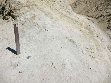 Trail marker #10 at junction to Zabriskie Point |
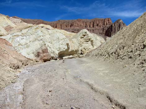 |
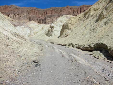 |
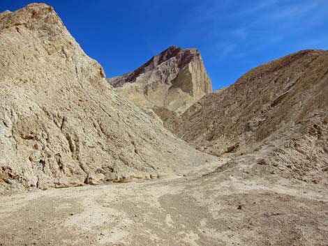 |
 |
 |
 |
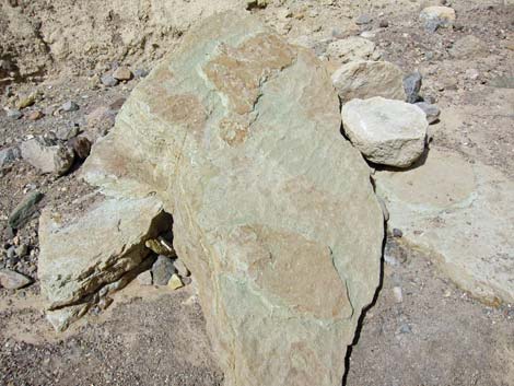 Stone with ripple marks |
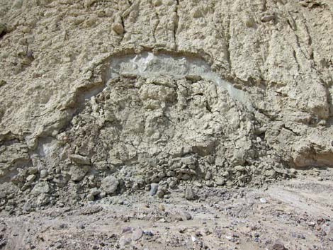 Erosion continues |
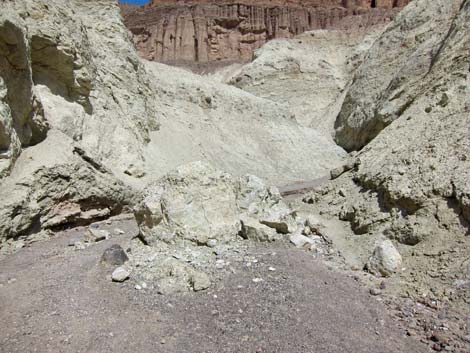 Erosion continues |
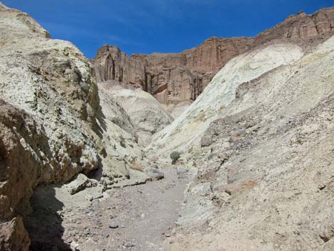 Nearing Red Cathedral |
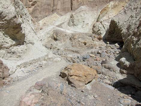 |
 |
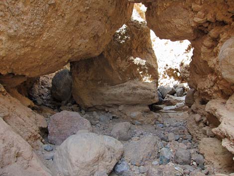 Tunneling under boulders |
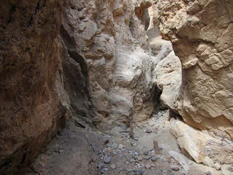 Narrow spots |
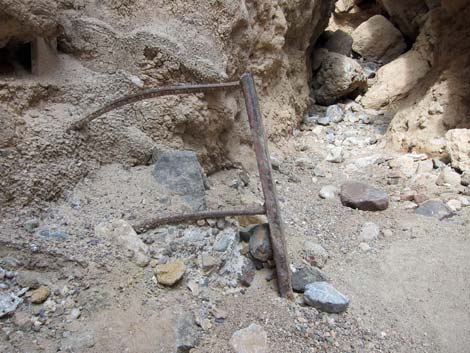 Remains of historic ladder |
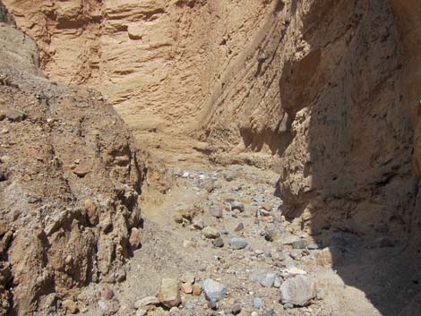 Arriving at base of Red Cathedral |
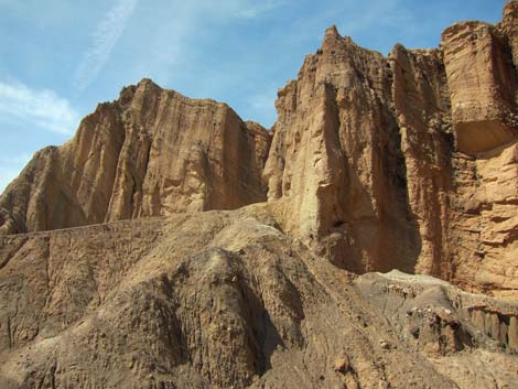 Red Cathedral |
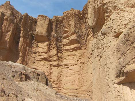 Red Cathedral |
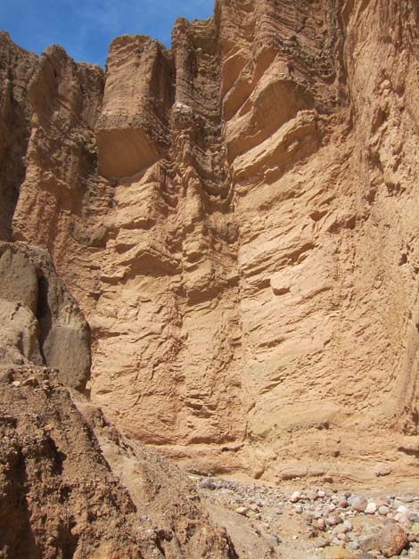 Red Cathedral |
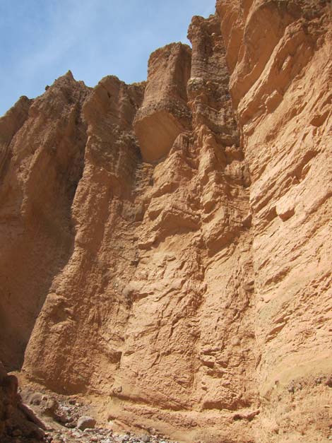 Red Cathedral |
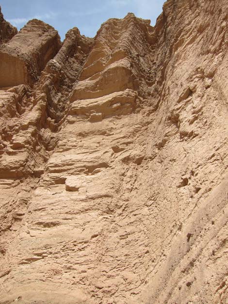 Red Cathedral |
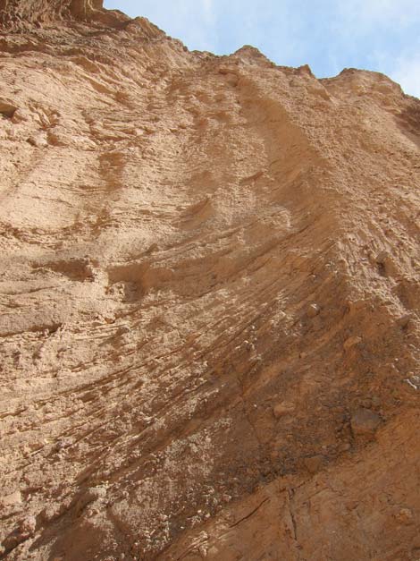 Red Cathedral |
Hiking Back Down
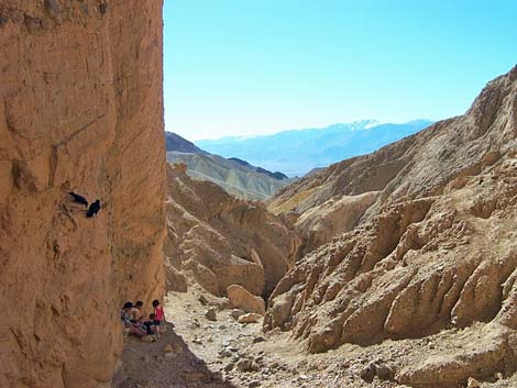 Two families (Ravens and humans) in the shade (view SW) |
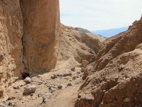 Cathedral Cliffs (view SW) |
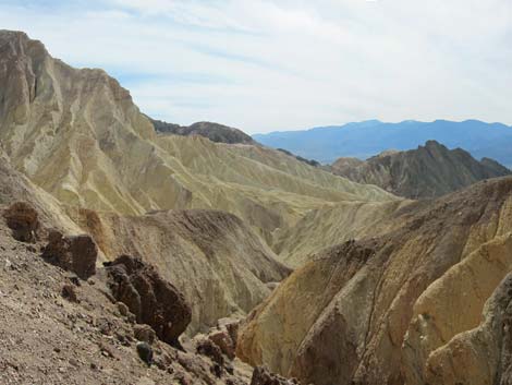 |
 |
 |
 |
 |
 |
 |
 |
 |
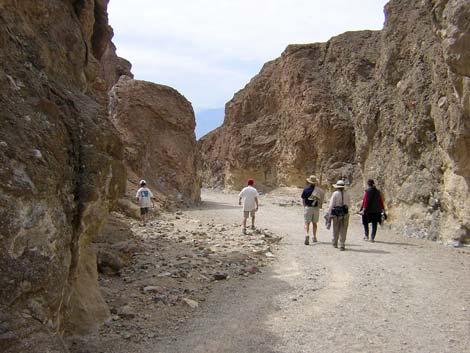 |
Table 2. Hiking Coordinates Based on GPS Data (NAD27, UTM Zone 11S). Download Hiking GPS Waypoints (*.gpx) file.
| Wpt. | Location | UTM Easting | UTM Northing | Elevation (ft) | Point-to-Point Distance (mi) | Cumulative Distance (mi) | Verified |
|---|---|---|---|---|---|---|---|
| 01 | Golden Canyon Trailhead | 513808 | 4030411 | -167 | 0.00 | 0.00 | GPS |
| 02 | Trail Marker #10 | 515143 | 4030862 | 131 | 1.01 | 1.01 | GPS |
| 03 | Red Cathedral Cliffs | 515554 | 4031234 | 320 | 0.47 | 1.48 | GPS |
| 01 | Golden Canyon Trailhead | 513808 | 4030411 | 379 | 1.48 | 2.96 | GPS |
Happy Hiking! All distances, elevations, and other facts are approximate.
![]() ; Last updated 240324
; Last updated 240324
| Death Valley | Hiking Around Las Vegas | Glossary | Copyright, Conditions, Disclaimer | Home |