
(Zabriskie Point to Golden Canyon Trailhead via Gower Gulch)
Hiking Around Las Vegas, Death Valley National Park

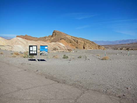 Gower Gulch Trailhead (view N from parking lot) |
Overview This picturesque and geologically interesting, but moderately strenuous, 3.4-mile hike starts at Zabriskie Point and runs down Gower Gulch through badland mudhills and narrow canyons to the Golden Canyon Trailhead, passing a borax mining area and a 10-foot, 3rd-class pour-over along the way. This hike requires a vehicle shuttle or other arrangement, as it is a one-way hike down the canyon. Consider returning via Golden Canyon and a portion of the Gower Gulch Loop. Adventuresome hikers might take a look at the Gower Gulch Direct route. Link to map. |
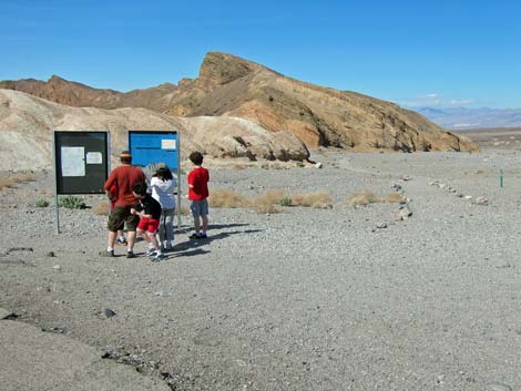 Gower Gulch Trailhead (view N from parking lot) |
Watch Out Other than the standard warnings about hiking in the desert, ...this hike is fairly safe, but stay out of the canyon (and off the mudhills) if it is raining or threatens to rain because of possible flash floods. The 10-ft pour-over at the lower end of Gower Gulch is an easy 3rd-class downclimb, but the rock is water-polished and slick, plus it is covered with dust and gravel, so there is greater than usual risk if slipping. While hiking, please respect the land and the other people out there, and try to Leave No Trace of your passage. Also, this is a fairly long hike, so be sure to bring the 10 Essentials. |
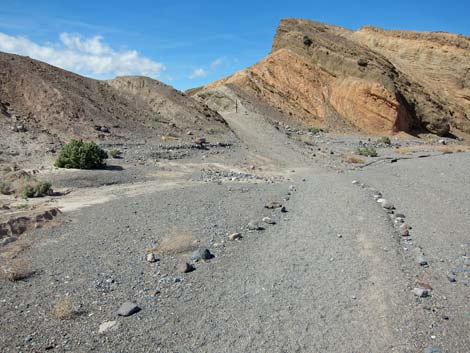 Trail leading to low point on ridge (view NW) |
Getting to the Trailhead This hike is located along Highway 190 in Death Valley National Park, about 2-1/2 hours northwest of Las Vegas. From town, drive out to Death Valley, pay the entrance fee, and then drive to the Zabriskie Point Trailhead, depending on which end of the trail you want to start the hike. Park here; this is the trailhead. Consider arranging a pickup or parking a second vehicle at the Golden Canyon Trailhead for a one-way, downhill hike through the canyon. |
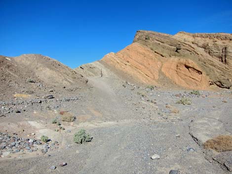 |
The Hike From the Zabriskie Point trailhead by the information sign (Table 1, Waypoint 10), the route runs northwest on a well-defined gravel trail for about 1 minute to a low point on the ridge north of the Zabriskie Point overlook. Note that the trail does not follow the paved path westward and up to the Zabriskie Point overlook; the route runs north from the parking area and across some gravel flats before turning west. The trail climbs the low ridge to a notch that separates the Furnace Creek drainage (to the northeast) from the Gower Gulch drainage (to the southwest). The trail then heads generally westward for 0.4 miles as it drops through narrow, winding canyons to a trail junction at the edge of Gower Gulch Wash (Wpt. 12). From there, Zabriskie Point Overlook can be seen atop yellow mudhills back up some 225 vertical-feet. |
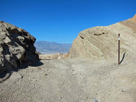 Old road crossing over ridge (view W) |
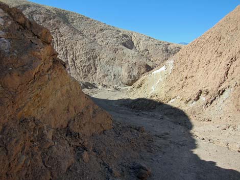
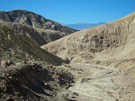
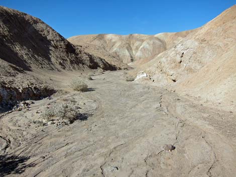
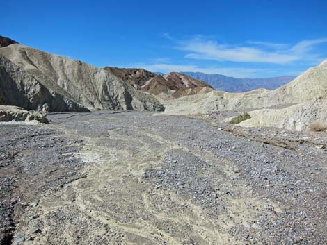
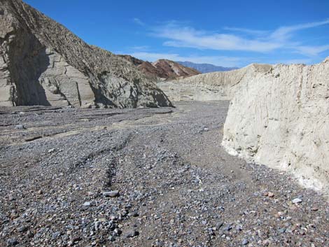
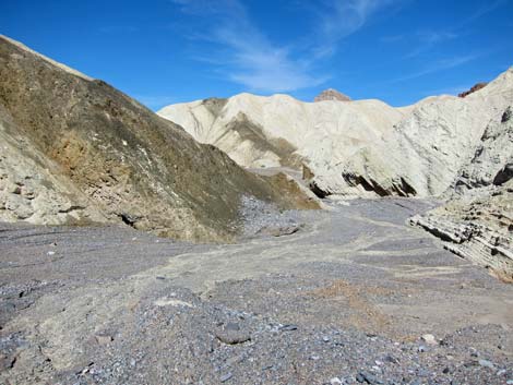
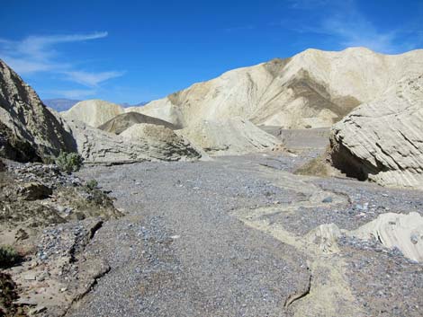
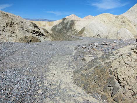
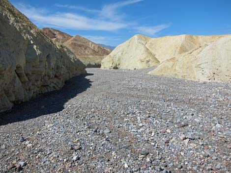
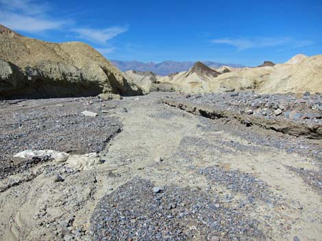
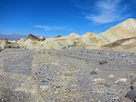
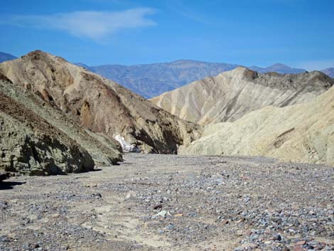
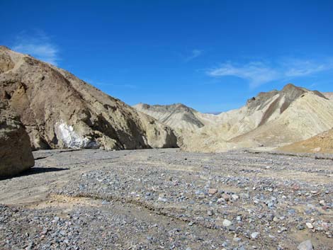
At the trail junction, sign reads: 2.7 miles to go. The Gower Gulch route leaves the trail, drops into the gravel wash, and heads downhill. The other trail turns to the northwest and climbs up a mud ridge en route to Golden Canyon. The Gower Gulch route runs down the wash. The gray gravel in the wash contrasts nicely with the pale-yellow badlands, and there is enough dirt mixed into the gravel to make the surface hard and easy to walk on. The vegetation in the wash is sparse, mostly desert holly and prickly penstemon, but it is lush compared to the mudhills. |
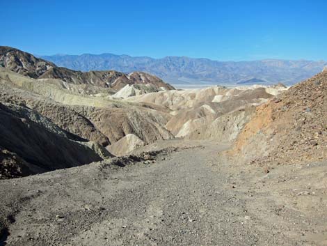 Old road (view W) |
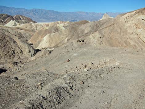
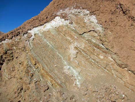
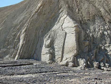
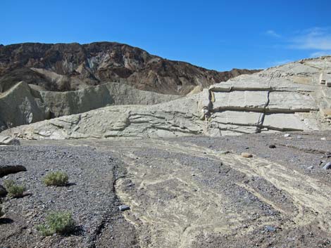
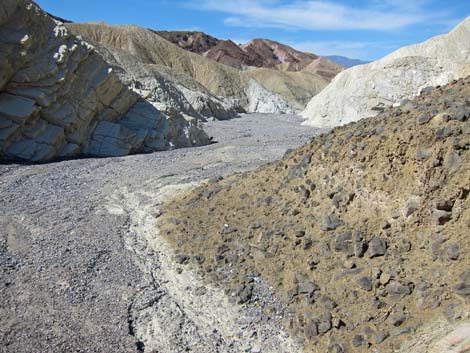
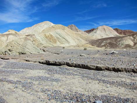
Down Gower Gulch, there are places where water eroded the edges of the mudhills revealing the underlying sedimentary layers. It seems that the surface erodes and covers the hills with mud, making them look soft and rounded. There also seems to be places where a volcanic conglomerate or pyroclastic rubble is mixed into the mud; makes you wonder if volcanic rocks were blasted into the ancient lake. The mudhills survived the eons because they were capped by basalt flows, and in places you can see the remains of the basalt cap on ridges south of the wash. For information on the geologic history of the area, hike the Golden Canyon nature trail. The route runs down Gower Gulch Wash for 0.7 miles to a trail junction (Wpt. 06) marked with a sign (hikers wouldn't know it otherwise). The trail to the north (right) goes up and over the ridge to Golden Canyon. From this junction, the route continues west down Gower Gulch Wash. |
 |
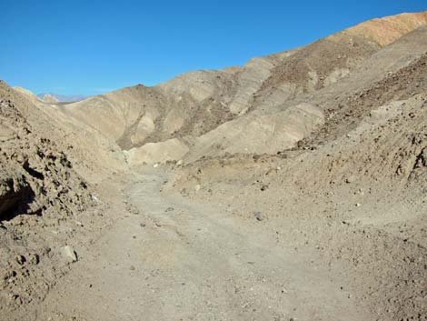
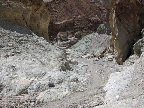
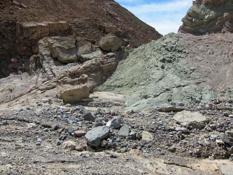
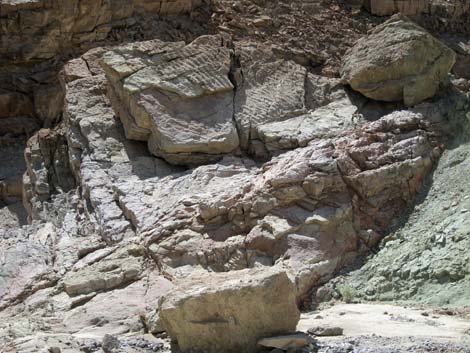
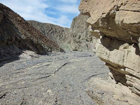
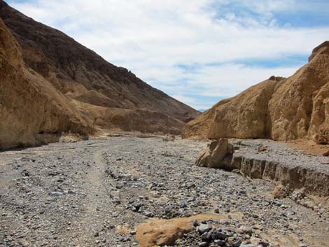
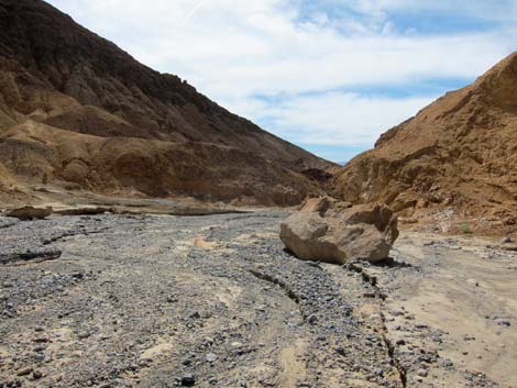
From the trail junction, the wash runs through mud hills for another 0.6 miles. At that point, the mud hills end, and the wash begins to descend into conglomerate rocks that form the lower portion of Gower Gulch and Golden Canyon (there are some sedimentary layers here too). This is also the edge of the borax mining area (Wpt. 07). Several mines penetrate the sides of the canyon, and an old trail runs way up the hillside north of the canyon that appears to make a "short cut" to the trailhead. There appear to be no mine structures in the area. Just downstream from the mining area, the wash runs through a canyon with polished conglomerate rocks and green cliffs, and there are fossilized ripple marks in some red rocks on the canyon wall. About 0.3 miles below the mining area, the route is blocked by the Gower Gulch pour-overs (Wpt. 08), a 10-ft pour-over in the polished conglomerate rock. It is an easy 3rd-class scramble to get down the pour-over; there are several shorter scramble-downs in this section of the canyon too. |
 |
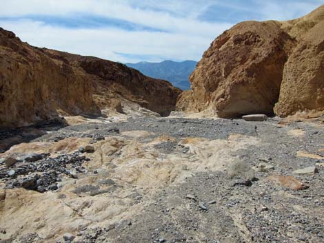
From the pour-over, the route runs downstream for 0.3 miles to the mouth of Gower Gulch, a 25-ft pour-over that suddenly opens onto the floor of Death Valley (Wpt. 09). When first arriving at the edge of the pour-over, there is no apparent way to get down, but the trail cuts across ledges to the north (right). This is a spectacular end to the canyon that would be nice to see with flowing water. Below the pour-over, a fairly new erosion channel cut into the old alluvial fan can be seen with great contrast between new (bright gray) and old (dark and desert varnished) alluvium. The new channel has 6- to 10-ft high sidewalls that keep the newer waterflows tightly concentrated and flowing all the way out into bottom of the valley. After taking in the view, the route follows the ledges north until reaching the gentle slopes on the floor of Death Valley. From there, the route continues north across the tops of several little alluvial fans to the Golden Canyon trailhead (Wpt. 01), which is about 0.8 miles north of the final pour-over. |
 Old road continues down canyon (view W) |
 Colorful canyon walls |
 |
 |
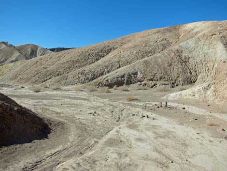 Approaching bend in canyon with trail marker (view W) |
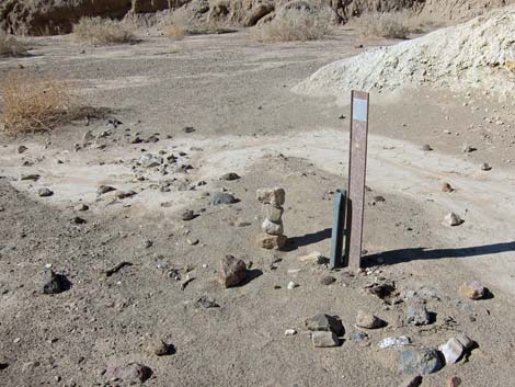 Trail marker (view W) |
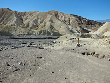 Arriving at edge of Gower Gulch, proper (view SW) |
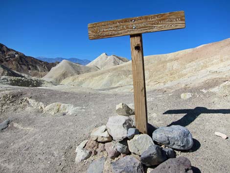 Trail sign (view W) |
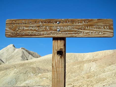 Trail sign (view W) |
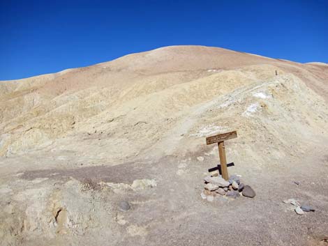 Hikers could turn-off to Golden Canyon (view NW) |
 Turning down Gower Gulch, proper (view W) |
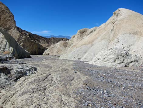 Gower Gulch (view W) |
 Interesting layers in canyon wall |
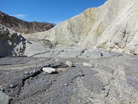 Winding down the canyon (view W) |
 |
 |
 |
 |
 |
 |
 |
 |
 |
 |
 Gower Gulch (view W) |
 Second turn-off to Golden Canyon (view NW) |
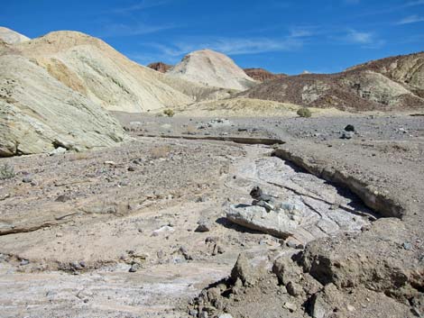 Second turn-off to Golden Canyon (view N) |
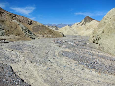 Gower Gulch (view W) |
 |
 |
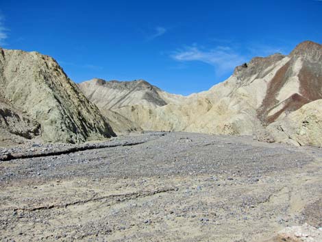 Gower Gulch (view W) |
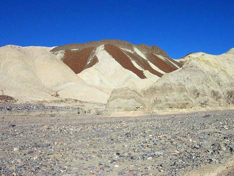 Lava cap eroding over mud hills (view N) |
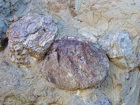 Conglomerate rock walls |
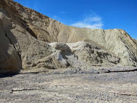 Old mine tailings (view SW) |
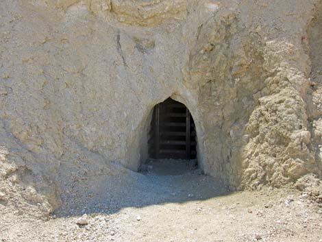 Entrance to old mine |
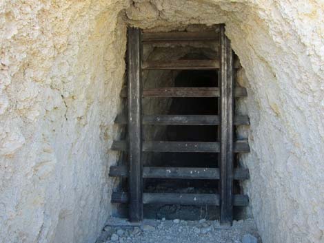 Bat gate lets bats come and go, but keeps people out |
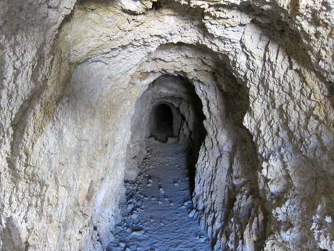 Inside the mine |
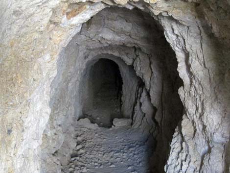 Inside the mine (zoom) |
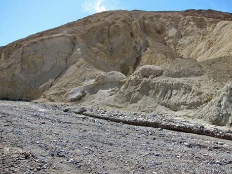 Looking back at mine tailings (view SE) |
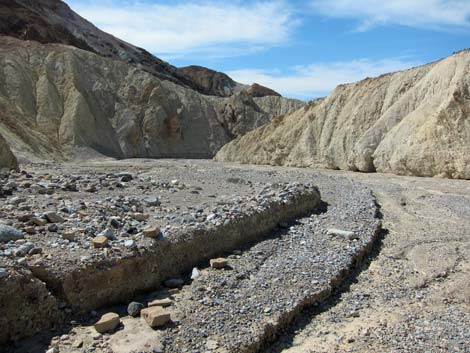 Layers of gravel in the wash (view W) |
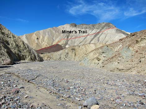 Side trip: miner's trail on hillside |
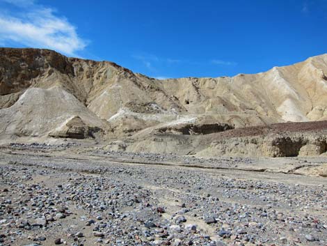 Miner's trail on hillside |
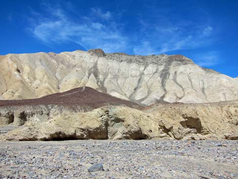 Miner's trail on hillside |
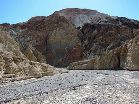 Colorful hillsides (view S) |
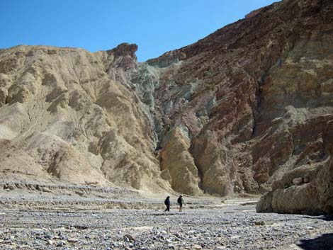 |
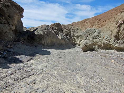 |
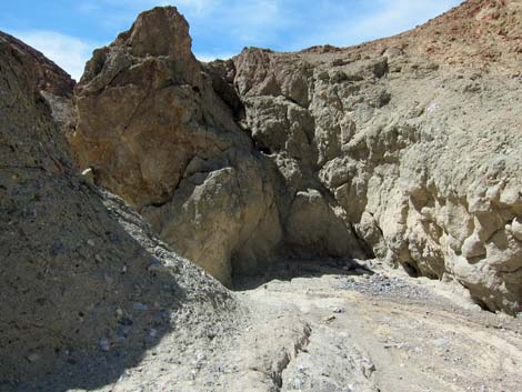 |
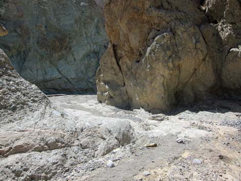 |
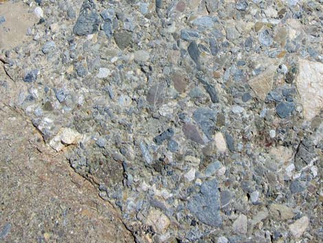 |
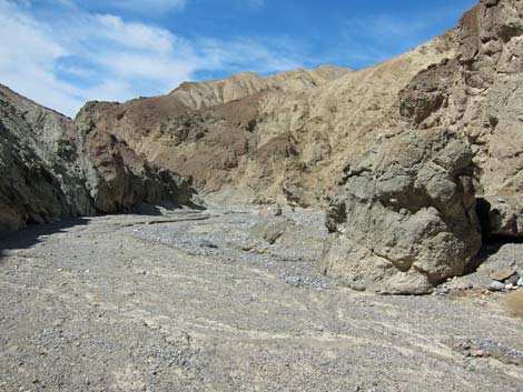 |
 |
 |
 |
 |
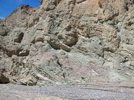 Colorful hillsides (view NW) |
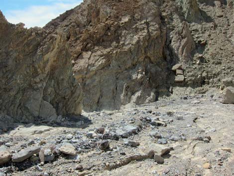 Canyon turns hard to the left (view W) |
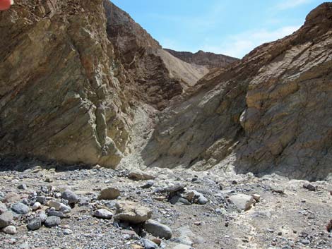 Canyon turns hard to the left (view S) |
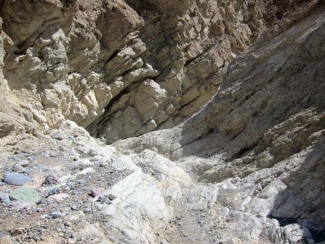 Entering the narrows (view S) |
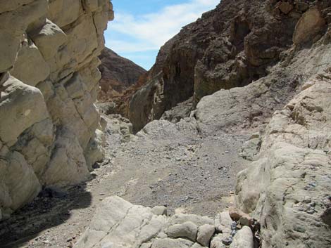 Approaching pour-over (view SW) |
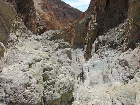 Looking down pour-over (view SW) |
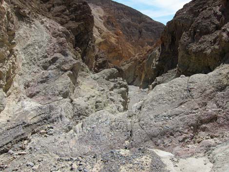 Pour-over (view SW) |
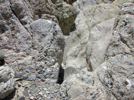 Looking down pour-over (view SW) |
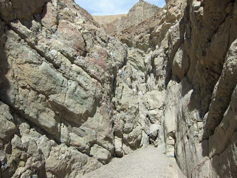 Looking back up pour-over -- not so bad (view NE) |
 Layered rocks in pour-over make easy scrambling |
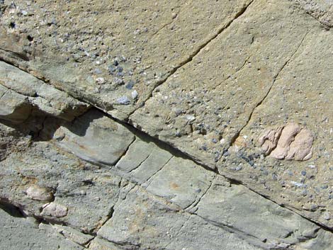 Layered rocks in pour-over make easy scrambling |
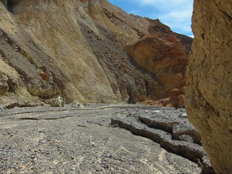 Colorful hillsides (view SW) |
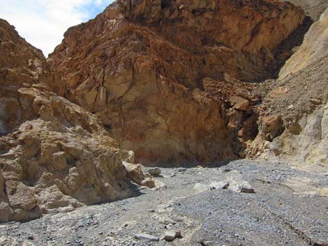 |
 |
 |
 |
 Low pour-over (view W) |
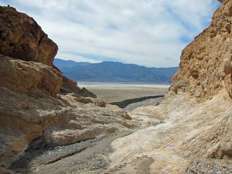 Approaching sudden end of Gower Gulch (view west) |
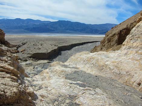 End of Gower Gulch (view west) |
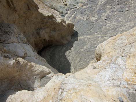 End of Gower Gulch pour-over (view west) |
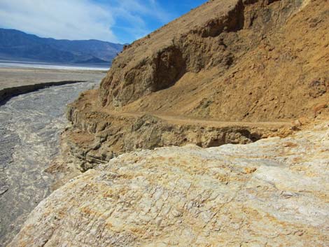 Pour-over bypass trail |
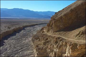 Looking out on the floor of Death Valley (view W) |
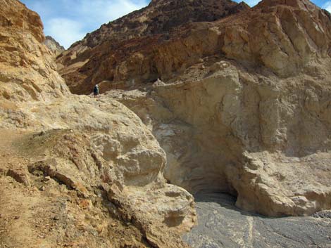 Looking back up at hiker atop final pour-over |
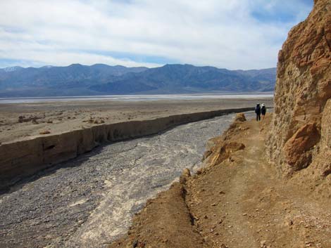 Hikers on pour-over bypass trail (view NW) |
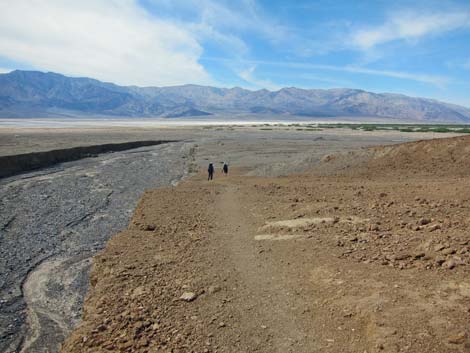 Hikers on pour-over bypass trail (view NW) |
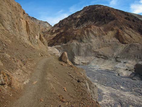 Looking back up at hiker atop final pour-over |
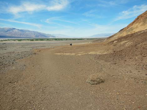 Hikers on desert flats (view N) |
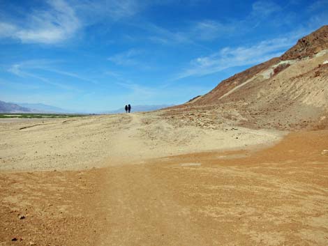 Hikers on desert flats (view N) |
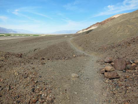 |
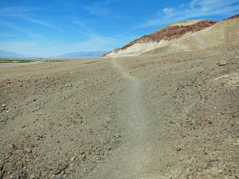 |
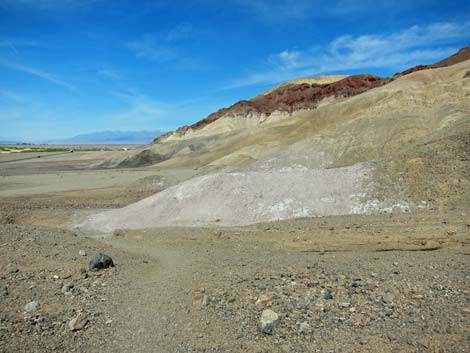 Trail across desert flats (view N) |
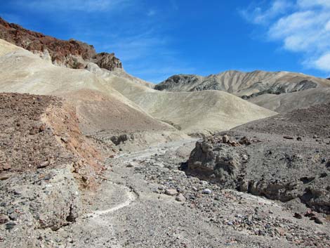 Side canyon above desert flats to somewhere interesting? |
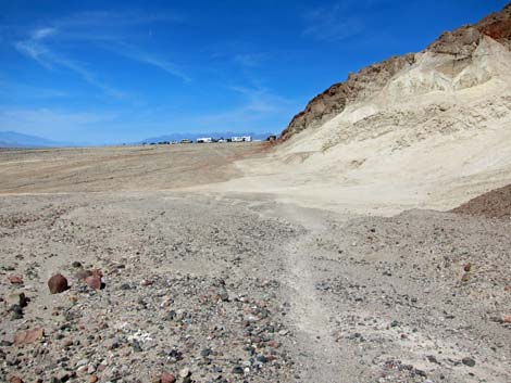 Approaching Golden Canyon Trailhead (view N) |
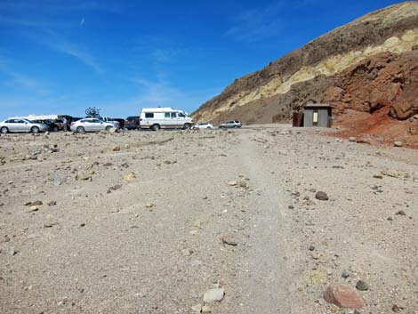 Arriving at Golden Canyon Trailhead (view N) |
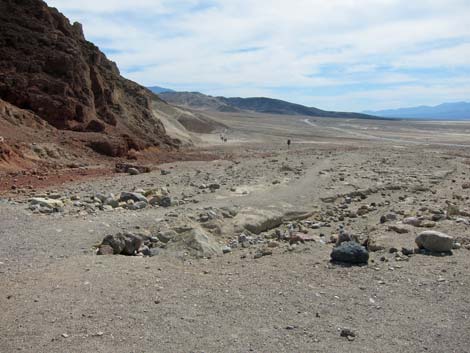 Trail across desert flats (view S from Golden Canyon Trailhead) |
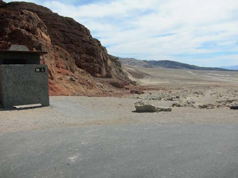 Trail across desert flats (view S from Golden Canyon Trailhead) |

Panorama (view east from Lower Gower Gulch)

Panorama (view west from Upper Gower Gulch)
Table 1. Hiking Coordinates Based on GPS Data (NAD27, UTM Zone 11S). Download Hiking GPS Waypoints (*.gpx) file.
| Wpt. | Location | UTM Easting | UTM Northing | Elevation (ft) | Point-to-Point Distance (mi) | Cumulative Distance (mi) | Verified |
|---|---|---|---|---|---|---|---|
| 10 | Zabriskie Point Trailhead | 517082 | 4030476 | 656 | 0.00 | 0.00 | GPS |
| 12 | Gower Gulch Wash, Edge | 516590 | 4030308 | 502 | 0.54 | 0.54 | GPS |
| 06 | Gower Gulch Wash, Edge | 515705 | 4030003 | 303 | 0.73 | 1.27 | GPS |
| 07 | Borax Mining Area | 514813 | 4029954 | 179 | 0.63 | 1.90 | GPS |
| 08 | Gower Gulch Pour-Over | 514499 | 4029706 | 86 | 0.41 | 2.31 | GPS |
| 09 | 25-ft Pour-Over | 514407 | 4029354 | -46 | 0.29 | 2.60 | GPS |
| 01 | Golden Canyon Trailhead | 513808 | 4030411 | -167 | 0.83 | 3.43 | GPS |
Happy Hiking! All distances, elevations, and other facts are approximate.
![]() ; Last updated 240324
; Last updated 240324
| Death Valley | Hiking Around Las Vegas | Glossary | Copyright, Conditions, Disclaimer | Home |