
Hiking Around Las Vegas, Death Valley National Park

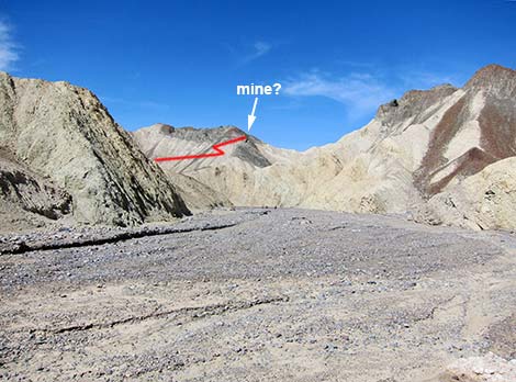 Gower Gulch westbound: trail to mine on hillside? |
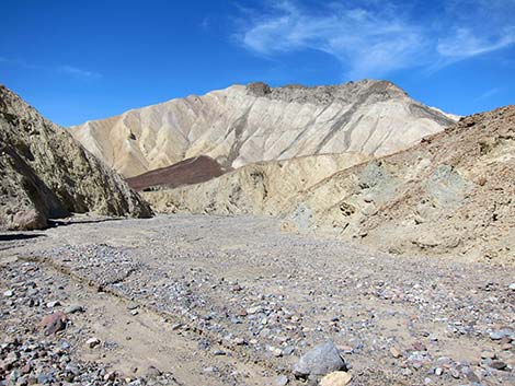
Overview Gower Gulch Miner's Trail is a spur trail off the Gower Gulch Trail. As such, it is not a destination but rather an interesting side trip along the longer hike. Although this route can be used to bypass lower Gower Gulch, it should not be considered a short-cut. The trail appears to climb to a mine high on the mountain, but actually it runs to a saddle. Maps show mines beyond the saddle, but a use-trail descends steeply into the next canyon and runs west to the flats of Death Valley. This area is picturesque and geologically interesting, and this strenuous, 0.3-mile trail leads to a nice overlook of the area. Link to map. |
 |
Watch Out Other than the standard warnings about hiking in the desert, ...this hike runs up a steep, narrow, unmaintained trail built by miners decades ago. Parts of the trail have fallen away over the years. While not especially dangerous, slipping off the trail could lead to serious injury, and as such, this trail is not suitable for children or those afraid of heights. While hiking, please respect the land and the other people out there, and try to Leave No Trace of your passage. Also, this is part of a fairly long hike, so be sure to bring the 10 Essentials. |
 |
Getting to the Trailhead This hike is located between Highway 160 and Badwater Road in Death Valley National Park, about 2-1/2 hours northwest of Las Vegas. From town, drive out to Death Valley, pay the entrance fee, and then drive to the Zabriskie Point Trailhead or the Golden Canyon Trailhead. Use the Gower Gulch Trail to access the Borax Mining District and this trail. |
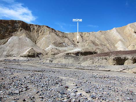 |
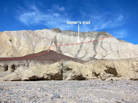
The Hike From Gower Gulch (Table 1, Waypoint 07), the Miner's Trail runs west and up a side wash. Shortly, the trail forks. The left fork continues west to a gated mine entrance (Wpt. 13); the right fork runs northwest and climbs a low ridgeline covered with brown rocks. Atop the brown area, the trail angles up and across yellow mud slopes heading northeast. The trail is narrow, and parts have fallen away, but the trail leads up and rounds a corner to head northwest. Passing what looks from below to be a mine entrance, the trail drops into a saddle (Wpt. 14) with grand views over the entire area. Hikers can continue over the saddle on a use-trail that leads down the canyon to the floor of Death Valley (Wpt. 15). Note: I've not hiked down from the saddle, but the route goes. |
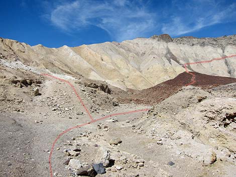 Trail forks: left to mine; right to saddle |
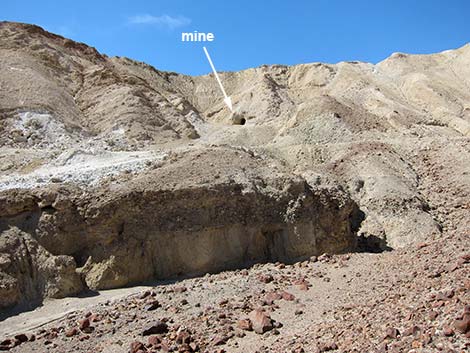 Mine entrance (view W from Miner's Trail) |
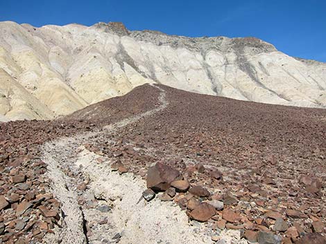 Hiking through brown stones |
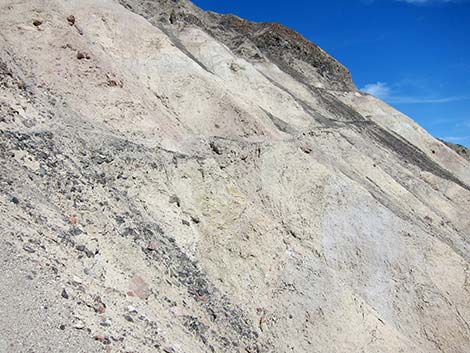 Trail across steep mud slopes |
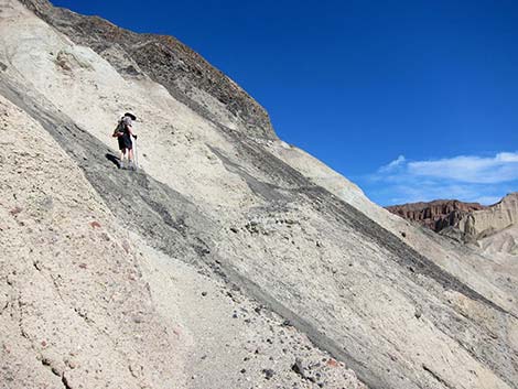 Hiker bypassing bad section of trail |
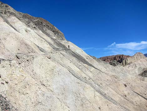 Hiker on trail |
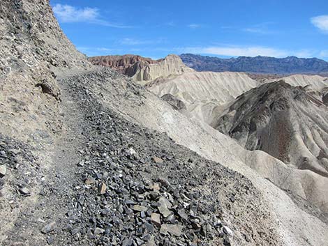 Part of the upper trail is wide ... |
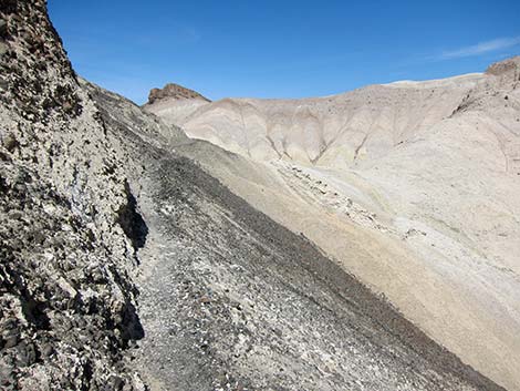 ... and part is narrow |
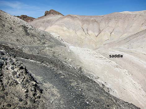 Saddle (view N from corner) |
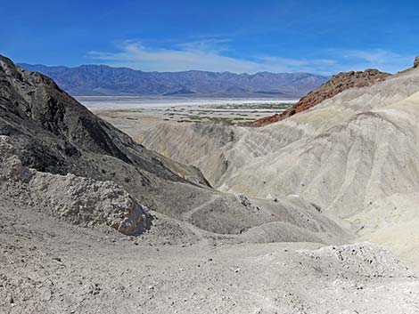 Death Valley Flats (view W from saddle) |
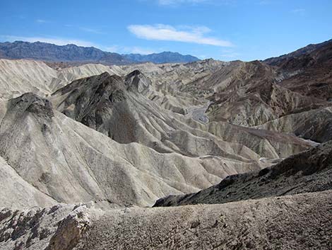 Grand view into Gower Gulch (view E from high on Miner's Trail) |
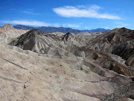 Grand view into Gower Gulch (view E from high on Miner's Trail) |
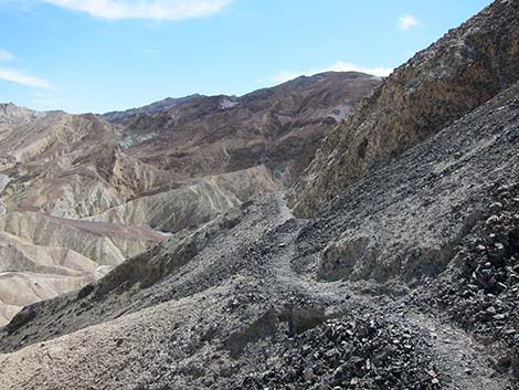 Returning down the trail: approaching the corner |
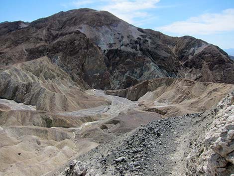 Returning down the trail (view S into Gower Gulch) |
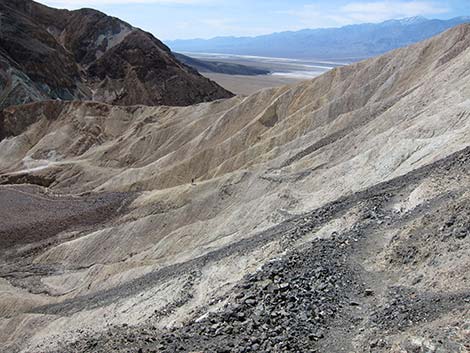 Returning down the trail: view SW across hillside |
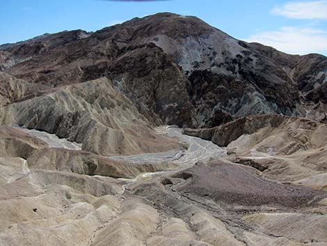 Grand view into Gower Gulch (view south from high on Miner's Trail) |
Side Trail to Mine Entrance. From the Miner's Trail, the hike to the mine takes the left fork.
 Trail forks: left to mine; right to saddle |
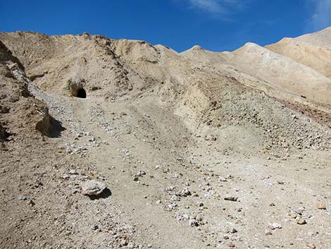 Mine entrance and tailings |
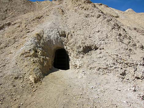 Mine entrance |
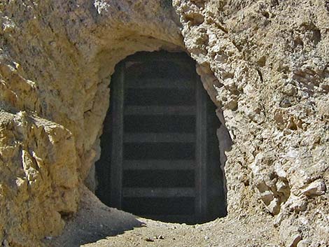 Gate inside mine entrance |
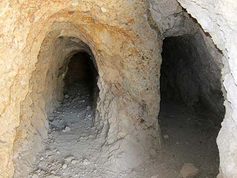 Parallel tunnels inside the mine (view through gate) |
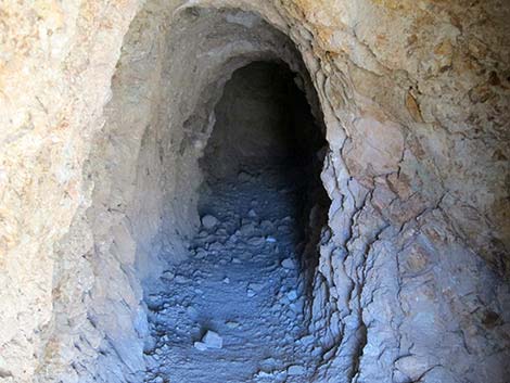 Left tunnel (zoom view through gate) |
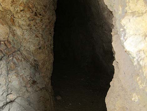 Right tunnel (zoom view through gate) |
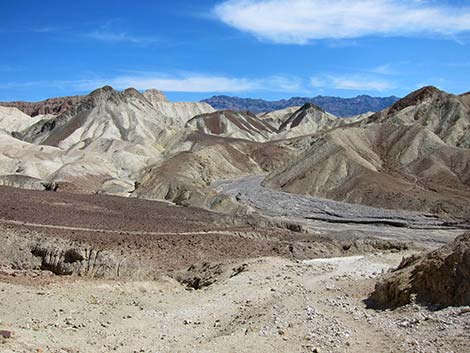 Returning down to Miner's Trail (view E up Gower Gulch) |
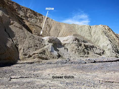
Mine in Gower Gulch Wash. This gated mine is located on the south side of Gower Gulch, about 0.25 miles east of the Mine's Trail.
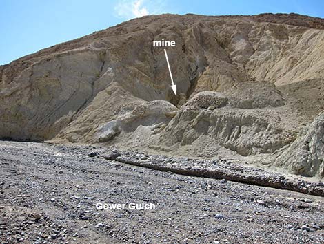 Mine entrance (view SE from Gower Gulch; looking upstream) |
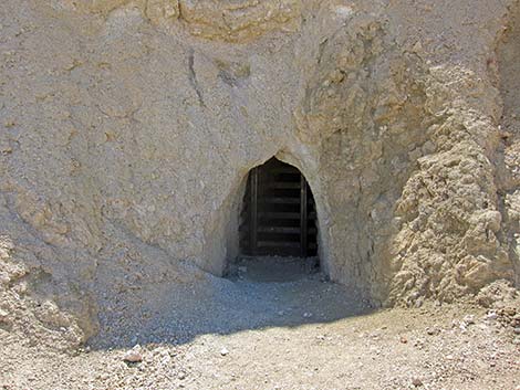 Mine entrance (view S) |
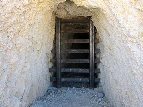 Gate inside mine entrance (view S) |
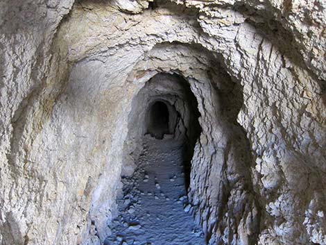 Inside the mine (view through gate) |
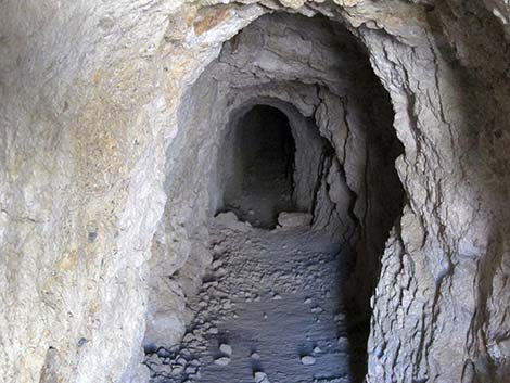 Inside the mine (zoom view through gate) |
 Mine entrance (view SW from Gower Gulch; looking downstream) |

Panorama (view east from high on Gower Gulch Miner's Trail)
Table 1. Hiking Coordinates Based on GPS Data (NAD27, UTM Zone 11S). Download Hiking GPS Waypoints (*.gpx) file.
| Wpt. | Location | UTM Easting | UTM Northing | Elevation (ft) | Point-to-Point Distance (mi) | Cumulative Distance (mi) | Verified |
|---|---|---|---|---|---|---|---|
| 07 | Borax Mining Area | 514810 | 4029931 | 179 | 0.00 | 0.00 | GPS |
| 13 | Mine | 514711 | 4029926 | 198 | . | . | GPS |
| 14 | Saddle | 514691 | 4030182 | 326 | 0.23 | 0.23 | GPS |
| 15 | Wash | 514021 | 4029951 | -131 | 0.55 | 0.78 | GPS |
Happy Hiking! All distances, elevations, and other facts are approximate.
![]() ; Last updated 240324
; Last updated 240324
| Death Valley | Hiking Around Las Vegas | Glossary | Copyright, Conditions, Disclaimer | Home |