Southern Nevada Wilderness Areas
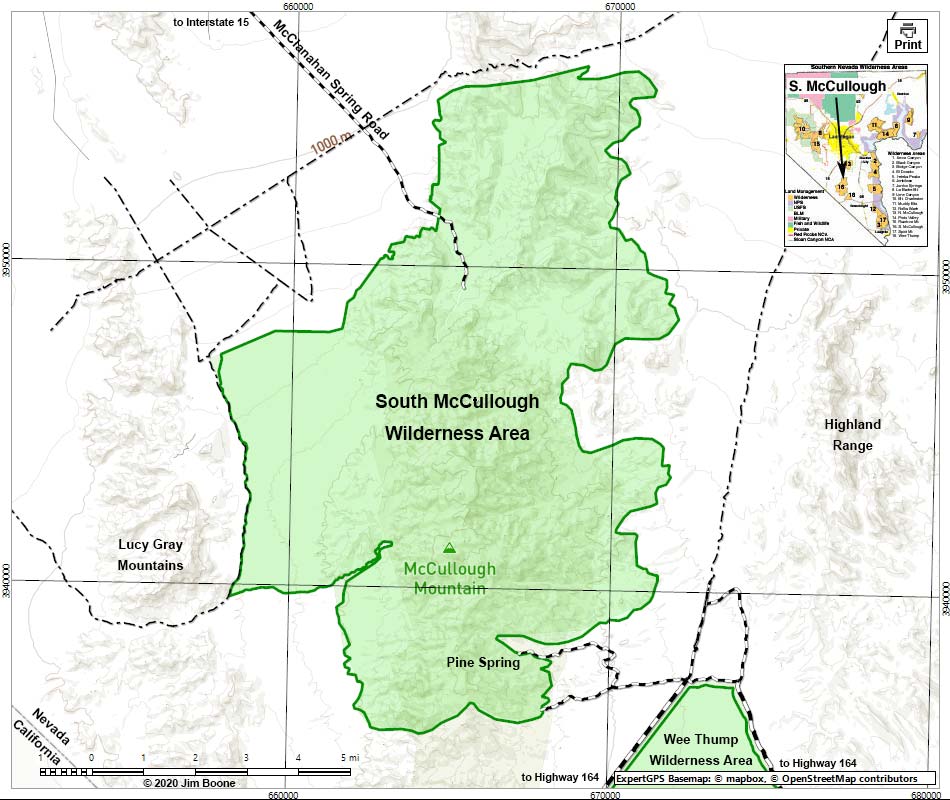
Note: Map based on USGS 7.5-minute topo map, which may have red grid lines and various numbers. North is at the top. Grid is UTM NAD27 CONUS. Roads are black (solid = paved; dashed = unpaved; width implies quality). Trails and routes are red (solid = main; dashed = adjacent or alternate). Washes, streams, and lakes are blue (solid = permanent; dashed = intermittent). National Monument Areas (boundaries dash-dot green, fill light green) based on BLM data. Wilderness Areas (boundaries solid green, fill light green) based on BLM data. Private land (boundaries solid gray, fill crosshatch gray) based on NPS data. Areas of Critical Environmental Concern (ACEC) areas (boundaries solid green, fill light crosshatch) based on BLM data. BLM public lands (no color overlay) based on BLM data.
Note: All distances, elevations, and other facts are approximate.
![]() ; Last updated 250420
; Last updated 250420
| South McCullough Wilderness | Southern NV Wilderness Areas | Hiking | Copyright, Conditions, Disclaimer | Home |