
When I was 15 and 16 years old, I spent the summers hiking in the Sierra Nevada Mountains. During both summers, I walked about 100 miles of the 212-mile-long John Muir Trail (JMT). The trips overlapped somewhat, and in total I walked 171 miles of the JMT. Since then, I've always wanted to finish the southern 43 miles. For more information on my developing quest, see my blog article.
On August 18, 2016, I began what I hoped would be a 21-day thru-hike of the JMT totaling some 245 miles without resupply, or at the least, I would hike the final 43-mile section of my 40-some-year quest to finish the JMT. Unfortunately, I completed neither and the Quest survives.
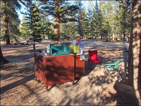 |
August 17 Wednesday -- Las Vegas to Lone Pine and Horseshoe Meadow. Day 1. Liz and I loaded the van and drove to Lone Pine where we arrived early and picked up my permit. From there we drove up to Horseshoe Meadow. We spent the remainder of the day lounging, photographing birds, and taking short walks as we acclimated to the 10,000-foot elevation. |
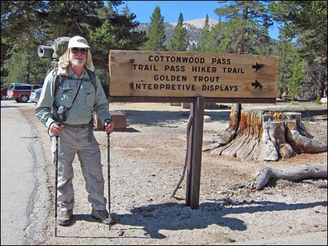 |
August 18 Thursday -- Horseshoe Meadow to Siberian Plateau. Day 2. Backpack Day 1. Liz and I didn't get up too early, and then Liz fixed us a nice breakfast and packed a lunch. We started out together at Horseshoe Meadow and walked 2 miles up the trail. We ate lunch together, we departed. I headed up the trail while she headed down. After a few far-off waves, we each disappeared into the forest. With a heavy pack, I hiked up to the crest of the Sierras and then over to Chicken Spring Lake. The altitude didn't affect me too much, and as campsites at the lake filled up with noisy people, I decided to press on and find a wilderness campsite. I hiked on, and just at dark found a nice flat, unvegetated area where I would throw down my bag out on the Siberian Plateau. In total, I walked 10.7 miles today (too many for a first day). |
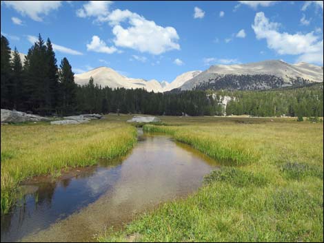 |
August 19 Friday -- Siberian Plateau to Lower Crabtree Meadow. Day 3. Backpack Day 2. Up early, I was off and hiked down 2.8 miles into Rock Creek Canyon. After following Rock Creek downstream a mile, the trail crossed the creek and climbed out of the valley at a pretty steep clip. I hiked north over Guyot Pass, dropped into and crossed Guyot Flat, and eventually climbed to Lower Crabtree Meadow where I stopped for the night. I spent a fair bit of the afternoon and evening chatting with the guys next door. I'd realized by now that hiking in this area was a wild experience, but not a wilderness experience. I walked 9.7 miles today. [link to details of the day] |
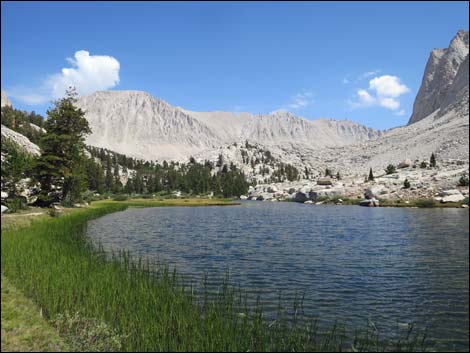 |
August 20 Saturday -- Lower Crabtree Meadow to Guitar Lake. Day 4. Backpack Day 3. After two long days on the trail, I took it easy today. I got up and out late and hiked up to Crabtree Meadow and spent about an hour chatting with the ranger who lives there. Eventually I hiked up to Guitar Lake, the last of the good camp sites before heading up to Mt. Whitney. As such, I had a lot of company, but I found a nice spot atop a granite outcrop so that I wasn't down in the crowd. I set an alarm so I could get up early for an alpine start on the mountain. I walked 4.6 miles today. [link to details of the day] |
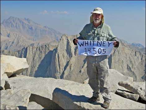 |
August 21 Sunday -- Guitar Lake to Mt. Whitney and Crabtree Meadow. Day 5. Backpack Day 4. Up early in the first of the morning twilight, hiked fairly hard and summited Mt. Whitney (14,505 ft elevation; highest peak in the lower 48 states) from the west side. I'd done it before from the east side, so this was a new route for me. It felt good to make the summit with surprisingly little effort. The summit marked the start of my hike north on the JMT. I hiked down, picked up my gear at Guitar Lake, and hiked down to Crabtree Meadow. They afternoon had been stormy, but the sky cleared in the evening. Unfortunately, I awoke in the darkness under a heavy downpour and got pretty wet before covering everything. I walked 12.8 miles today. [link to details of the day] |
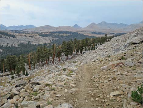 |
August 22 Monday -- Crabtree Meadow to Upper Tyndall Creek. Day 6. Backpack Day 5. I awoke to a sunny morning and hung my gear to dry everything out. After a slow start I hiked north on the JMT with dry gear. I hiked down Whitney Creek, then turned north over a saddle and dropped into Wallace Creek. The hail and lightning had started as I came down off the saddle, so I laid up along Wallace Creek for a couple of midday hours waiting for the storm to pass. Hiking north, I climbed over the Bighorn Plateau. Fortunately, in this high and barren plateau, the lightning stayed off among the mountain peaks and never got too close. I hiked into the late evening along Tyndall Creek looking for solitude, and when I slid into my sleeping bag, I noticed a sore spot on the front of my right shin. Little did I know, it was the start of shin splints, which I'd never experienced, and marked the beginning of the end of the trip. I walked 9.8 miles today. [link to details of the day] |
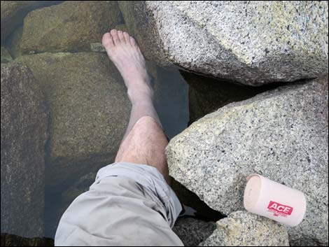 |
August 23 Tuesday -- Upper Tyndall Creek, Forrester Pass, to Bubbs Creek (Center Basin). Day 7. Backpack Day 6. Within a few minutes of leaving camp, my shin hurt with every step as I hobbled over the highest pass on the JMT. At 13,153 feet, Forrester Pass is high and steep, and although I was moving, I needed to stop at every stream crossing to soak and numb my shin in the near-freezing water. On the way down the other side (going down was more painful), some friendly hikers gave me two 800-mg ibuprofen tablets. Half of one, plus more freezing water and leaning heavily on my trekking poles, helped me finish the day, but I was beat and discouraged from the pain. I walked 9.5 miles today. [link to details of the day] |
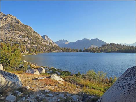 |
August 24 Wednesday -- Bubbs Creek (Center Basin) to Kearsarge Lakes. Day 8. Backpack Day 7. I decided to make the day short to let my leg rest and hiked down Bubbs Creek about 2 miles to a good place to spend the night. By lunchtime however, I decided that I needed to get out and sent Liz a satellite message to please come and pick me up in two days. With the aid of cold water, trekking poles, and drugs, I could move, so I decided that I needed to move while I could. I spent the rest of the day hobbling 2 miles to a trail junction that would lead out over Kearsarge Pass, then hiked another 2 miles to Kearsarge Lakes. There, I met some nice people, one of whom let me use his Delorme Satellite Communicator to send Liz a text message that I'd be out the next afternoon. I walked 6.0 miles today. [link to details of the day] |
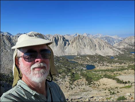 |
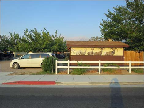
August 25 Thursday -- Kearsarge Lakes, Kearsarge Pass, Onion Valley, to Lone Pine. Day 9. Backpack Day 8. On the last day, I hiked up over Kearsarge Pass, a relatively easy pass at only 11,709 feet elevation, and then all the way down to the Onion Valley Trailhead (9,185 ft). The shin splints were painful, but if I could hike without flexing my right ankle, the pain was minimal. Hiking down the trail nearing the trailhead, it was quite a sight to come around a corner and see Liz coming up the trail with an empty backpack to help me carry the load the rest of the way down. After lots of hugs, we hiked down and headed to Independence Town where we got a room at the Mt. Morrison Motel and Basecamp, a business that caters to backpackers. To stretch my ankle in the evening, we walked downtown to Jalisco Tacos for some great street food. I walked 6.0 miles today. [link to details of the day] |
 |
August 26 Friday -- Lone Pine to Las Vegas. Day 10. After a great breakfast at the motel, Liz and I headed for home. Although I hiked some 70 miles, I left 12 miles -- only 12 of 211 -- of the JMT undone. I came so close to finishing the quest that I started in 1973! Maybe it is good to leave a quest incomplete: now I have something to look forward to next year. After thoughts: Five days post hike: the shin is still unhappy, but I can walk more-or-less normally. After about two weeks, my shin was more-or-less back to normal. Five months later, I've done a lot of hard hiking, but I've not had any problem with the shin. |
Note: All distances, elevations, and other facts are approximate.
![]() ; Last updated 170128
; Last updated 170128
| Postcards | Trip Map | Copyright, Conditions, Disclaimer | Home |