
Hiking Around Las Vegas, Mount Wilson Wilderness Area

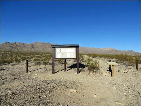 Missouri Spring Trailhead (view NW) |
Overview The 3-mile hike out to the guzzler at Missouri Spring makes for an easy day in the scenic Mount Wilson Wilderness Area. The trail starts at the lower edge of the Mojave Desert Scrub life-zone where few shrubs and cactus obstruct grand views. Walking up the gently sloping bajada, the trail eventually runs into rolling terrain and then up a sandy wash into a landscape of jumbled granitic boulders and dense and diverse shrub vegetation. Near the guzzler, hikers start seeing evidence of historic mining in the area, and at 3 miles out, hikers reach the Missouri Spring Guzzler. This is a nice place to sit quietly in the shade, relax, and listen to the songs of desert birds (try not to hear to the incessant air traffic). Adventuresome hikers might continue up the wash to the check dam that once served the guzzler, a cave used by miners as a cabin, and some old prospects, but shrubs and trees in the wash force hikers onto hillsides and the hiking becomes more difficult. Link to area map or hiking map. |
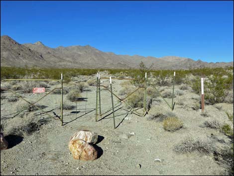 Entering into the Mount Wilson Wilderness Area (view NW) |
Watch Out Other than the standard warnings about hiking in the desert, ... this hike is quite safe, at least up to the guzzler. Beyond there, dense brush forces hikers out of the wash, so be careful when shrubs conceal ankle-biters or when traversing rocky hillsides. Also, this is an old mining district, and some mine shafts and adits remain open. Remember, while inherently interesting, it is never safe to enter holes in the ground. Some of the granite bedrock is water polished and surprisingly slick. This hike runs up into the Mount Wilson Wilderness Area, so while hiking, please respect the land and the other people out there, and try to Leave No Trace of your passage. There are no cairns on this route; please don't leave any new ones. Also, even though this hike is fairly short, it is remote, so be sure to bring the 10 Essentials. |
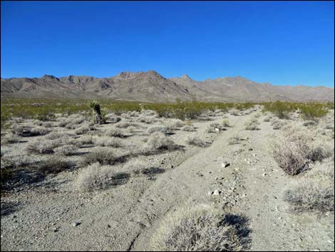 Trail follows the historic mining road (view NW) |
Getting to the Trailhead This hike is located on the east side (far side) of the Mount Wilson Wilderness Area, about 1-1/2 hours southeast of Las Vegas. From town, drive south on Highway 93 to Boulder City, then continue south across the bridge into Arizona. About 17.5 miles past the bridge, turn left onto Temple Bar Road. Drive northeast and north 10.8 miles to a dirt road on the left marked only with a "Wilderness Access" sign. Turn left onto the dirt Missouri Spring Road (Road 130) and drive northwest (straight) 2.5 miles to the end of the road. Park here; this is the trailhead. For drivers who miss the dirt road, turn around at the Lake Mead Entrance Station and drive back south 0.85 miles. On Road 130, drive straight across a powerline road and over a cattle guard before reaching the trailhead. |
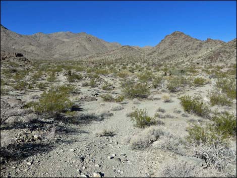 The old road turns into Missouri Spring Canyon (view NW) |
The Hike From the trailhead (Table 1, Waypoint 01) adjacent to the information kiosk, this route runs northwest up the same road, which is closed beyond this point. The old road runs straight, but it crosses two political boundaries marked by gaps in barbed-wire fences. This first is a simple gap in the fence (Wpt. 02), and the second is the formal entrance into the Wilderness Area (Wpt. 03). Still continuing more-or-less straight, the old road crosses a wash (Wpt. 04) and starts up into low hills. Dropping slightly to cross another wash (Wpt. 05), the trail curves left and begins to run more due west over gently rolling terrain. Eventually the old road curves to the right and drops into a broad, sandy wash (Wpt. 06). Here, hikers can walk up the sandy wash or find animal trails on firmer ground on either side of the wash. The canyon eventually narrows to force hikers into the wash, but the canyon remains quite open with only lightly restricted views. |
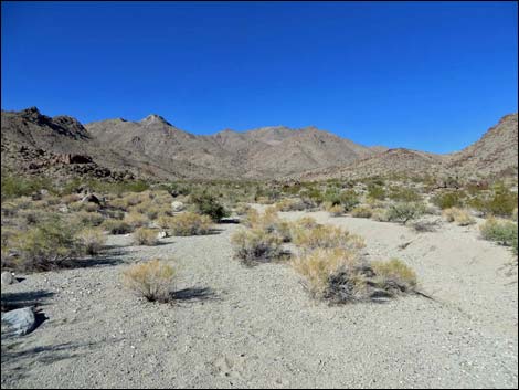 Eventually, the road disappears into the wash (view W) |
The route passes a large boulder on the right with the name "Mamie" pecked into the patina (Wpt. 07), then shortly passes, again on the right, the bed of an old truck or wagon slowly decomposing into the desert sands. Again, shortly ahead on the right, more names are pecked into boulders on the side of a rocky crag (Wpt. 08). Please respect these historic marks by not adding any new marks. At about 70 yards past the second carvings, the wash forks (Wpt. 09). Here, hikers climbing Mt. Wilson turn right, but hikers going to the spring turn left (more-or-less straight). This is somewhat confused because more traffic turns right towards the peak, making it look like that is the way to go. However, under good lighting, the guzzler can actually be seen some 250 yards up the left fork. Staying left, hikers arrive at Missouri Spring Guzzler (Wpt. 10) in another 0.1 miles. Adventuresome hikers might continue up the wash to the check dam that once served the guzzler, a cave used by miners as a cabin, and some old prospects. For most hikers, this is a nice place to sit in the shade, relax, and listen to the songs of desert birds. Return to the trailhead by hiking back down the wash and old road. |
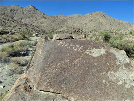 Ms. Mamie (or her beau) left his name on a boulder |
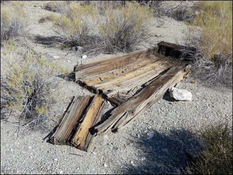 Bed of an old wagon or truck |
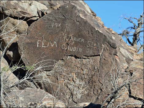 P. Tarver and O. Aubin were here September 28, 1931 (view NE) |
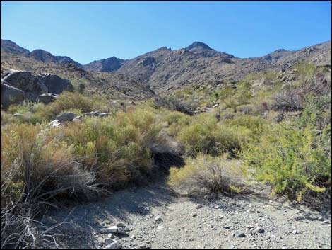 Fork in the wash (view SW towards guzzler) |
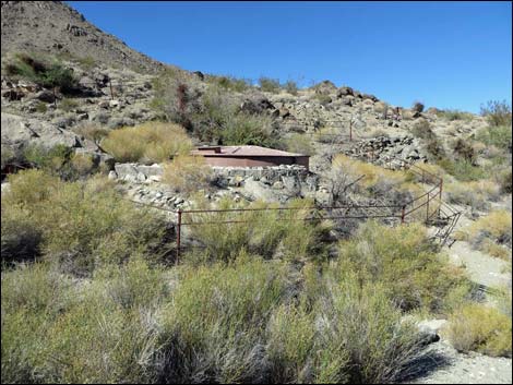 Missouri Spring Guzzler (view N) |
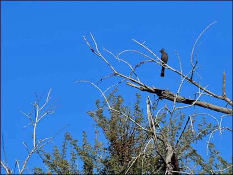 Phainopepla visiting the guzzler |
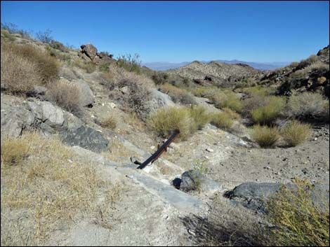 Check dam filled with sand (view NE) |
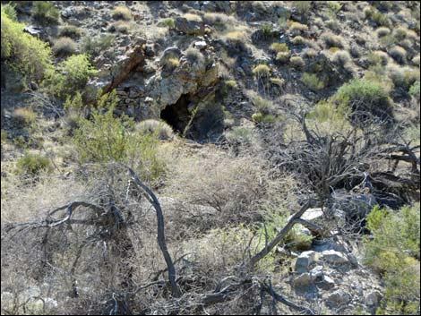 Miner's cave-cabin (view S from across the canyon) |
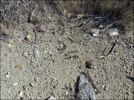 Typical metallic mine or cabin debris |
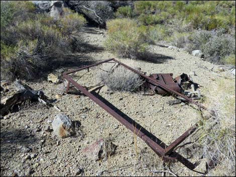 Bed frame and broken stove (view W) |
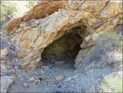 Miner's cave-cabin (view S) |
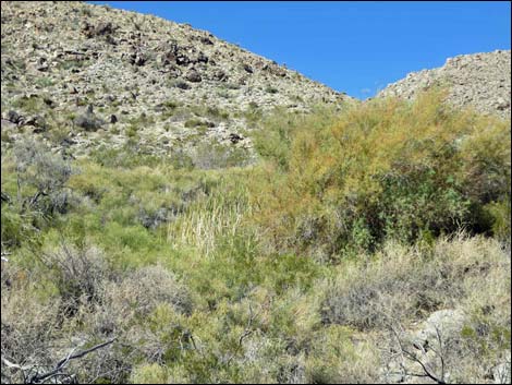 Missouri Spring, proper (view NW) |
Hiking Out
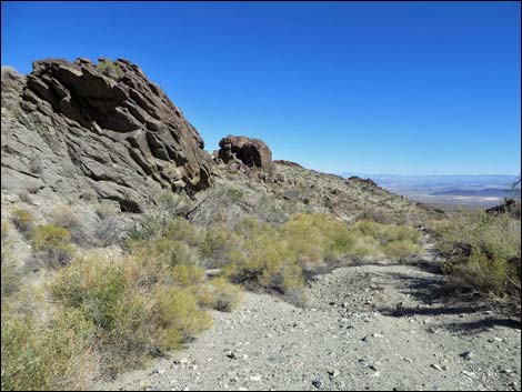 Wash not far below guzzler (view E) |
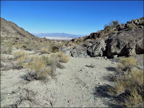 Rocks along the wash (view E) |
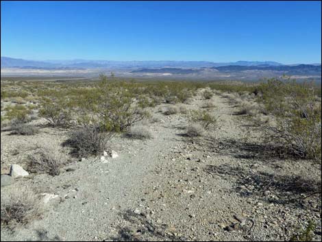 Trail follows old road down the bajada (view SE) |
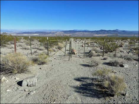 Exiting the wilderness area (view SE) |
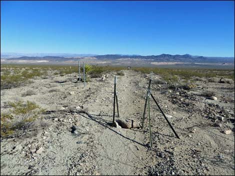 Passing gap-in-fence gate (view SE) |
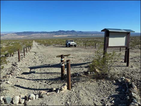 Returning to the trailhead (view SE) |
Table 1. Hiking Waypoints and Distances based on GPS Data (NAD27, UTM Zone 11S). Download Hiking GPS Waypoints (*.gpx) file.
| Wpt. | Location | UTM Easting | UTM Northing | Elevation (ft) | Point-to-Point Distance (mi) | Cumulative Distance (mi) | Verified |
|---|---|---|---|---|---|---|---|
| 01 | Trailhead | 721968 | 3984485 | 2,364 | 0.00 | 0.00 | GPS |
| 02 | Gate | 721785 | 3984548 | 2,263 | 0.12 | 0.12 | GPS |
| 03 | Old Trailhead | 721016 | 3984798 | 2,390 | 0.51 | 0.63 | GPS |
| 04 | Cross Wash | 720190 | 3985144 | 2,547 | 0.56 | 1.19 | GPS |
| 05 | Cross Wash | 719685 | 3985390 | 2,667 | 0.37 | 1.56 | GPS |
| 06 | Old Road Enters Wash | 718789 | 3985496 | 2,879 | 0.58 | 2.14 | GPS |
| 07 | Mamie Rock | 717935 | 3985522 | 3,121 | 0.58 | 2.72 | GPS |
| 08 | Carved Names | 717821 | 3985512 | 3,192 | 0.08 | 2.80 | GPS |
| 09 | Wash Forks | 717758 | 3985493 | 3,167 | 0.04 | 2.84 | GPS |
| 10 | Quail Guzzler | 717649 | 3985408 | 3,158 | 0.09 | 2.93 | GPS |
| 11 | Check Dam | 717608 | 3985375 | 3,171 | . | . | GPS |
| 12 | Miner's Cave | 717354 | 3985229 | 3,269 | . | . | GPS |
| 13 | Spring | 717333 | 3985262 | 3,281 | . | . | GPS |
| 01 | Trailhead | 721968 | 3984485 | 2,364 | 2.93 | 5.86 | GPS |
Happy Hiking! All distances, elevations, and other facts are approximate.
![]() ; Last updated 240330
; Last updated 240330
| Mount Wilson Wilderness | Hiking Around Las Vegas | Glossary | Copyright, Conditions, Disclaimer | Home |