
McCullough Mountain, Washes Route
Southern Nevada Wilderness Areas, Hiking the Wilderness Areas

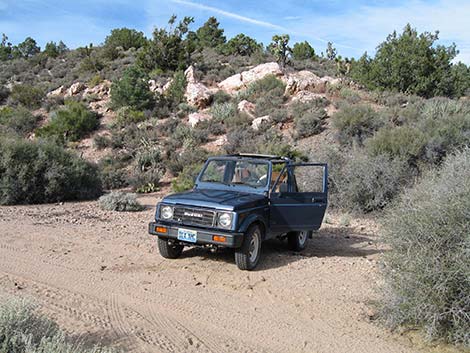 Trailhead by quartzite outcrop (view NW) |
Overview This interesting, 3-3/4 mile off-trail route runs up long, gentle sandy washes and steep, rugged ridges to the summit of McCullough Mountain in the South McCullough Wilderness Area. From the trailhead, this route runs north over a low ridge to a sandy wash that is followed high into the mountains. Ridgelines then lead to a saddle on the crest of the range. From the saddle, the route drops into a wash on the west side of the crest that is followed upstream as it curves around beneath the summit. Sidehills lead to the summit. Link to road access map, hiking map or elevation profile. |
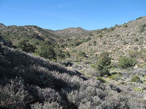 North side of ridge above wash (view NW) |
From a distance, the McCullough Mountains look old, soft, and rounded, but these ancient metamorphic mountains harbor very complex terrain (they have been faulting and weathering for 1.7 billion years!), so this is not simply hiking up washes and ridges to a high point; it is, however, a good adventure in orienteering. The route starts at the upper edge of the Mojave Desert Scrub (Upper Sonoran Life Zone) and climbs into a Pinyon-Juniper Woodland (Upper Sonoran Life Zone) with some stately old California Junipers near the summit. On the ridges, the trees, mats of pricklypear cactus, and banana yucca make for considerable winding around and slow, careful going. Despite the relatively low summit (7,026 ft), the peak towers over the surrounding landscape and the views from the upper ridges and summit are spectacular. |
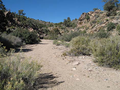 Open wash (view NW) |
Watch Out Other than the standard warnings about hiking in the desert, ... this is a fairly safe hike. The ridges and sidehills are steep with loose rocks, but there are no cliffs or other unusual obstacles. The rocky outcrops look like good rattlesnake country, but unfortunately, I saw none. The major concern on this hike is the loose footing among dense yucca and pricklypear cactus. While hiking, please respect the land and the other people out there, and try to Leave No Trace of your passage. This hike goes into the South McCullough Wilderness Area, so pay particular attention to respecting the land. This hike runs off-trail where nobody will find you, so be sure to bring the 10 Essentials. Cell phones work from ridges high on the east side of the crest, but I could not call out from the summit or ridges where I could see down the west side of the mountains to civilization. |
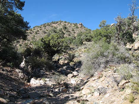 Knob on ridge (view N from wash) |
Getting to the Trailhead This hike is located up in the McCullough Range, about 1.5 hours southeast of Las Vegas between Searchlight and Primm. Under the best of conditions, the access road does not require 4WD, but there is a steep hillside and two long, sandy washes. I drove it in 2WD, but with the comfort of knowing that I could shift into 4WD at any time. From town, drive south on Highway 95 to Searchlight (Table 1, Site 0927). In downtown Searchlight, turn right onto Highway 164 (Joshua Tree Highway) and drive west for 8.2 miles to Wee Thump East Road (Site 1299). In at least a 2WD-HC vehicle, drive north on Wee Thump East Road for 4.5 miles to Wee Thump North Road (Site 1300). Turn left onto Wee Thump North Road and drive west for 1.1 miles to Wee Thump West Road (Site 1301). Pine Spring Road continues straight across the intersection to the west. |
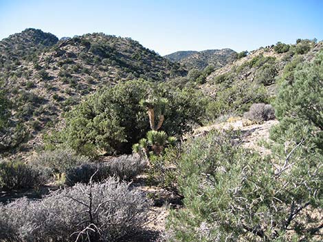 Ridge traverse (view W) |
Drive west on Pine Spring Road for 1.5 miles to a fork (Site 1302). Stay right on Pine Spring North Fork Road and follow it to the Washes Route Trailhead (Site 1303) or to Pine Spring and the Ridges Route Trailhead (Site 1304) at the end of the road. Pine Spring is an acceptable trailhead, but it is easier to drive back down the road for 0.4 miles to a large outcrop of white quartzite boulders on the north side of the wash. Park by the quartzite outcrop; this is the trailhead (Site 1303). |
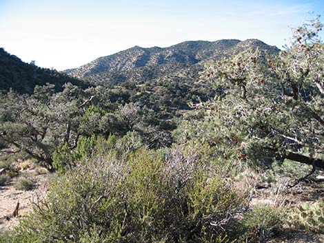 Traverse ridge and sidehill to saddle (view W) |
The Hike From the trailhead (Table 2, Waypoint 1), the route runs north for about 10 minutes over the low ridge and down into the next big sandy wash (Wpt. 02). This low ridge is at the transition between the Mojave Desert Scrub and Pinyon-Juniper Woodland habitat types (Upper Sonoran Life Zones). The ridge is thick with blackbrush, buckhorn cholla cactus, pricklypear cactus, Banana Yucca, Joshua Trees, Singleleaf Pinyon Pine, and Utah Juniper, a mix of lower- and higher-elevation species. After busting through the brush (Wpt. 02), the route turns northwest and runs up the broad, open wash. The wash is lined with trees and many species of shrubs, including desert almond and apache plume that are typical of washes. Watch for Woodhouse's Scrub-Jays, Black-tailed Jackrabbits, and Desert Cottontail. |
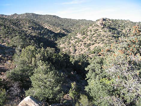 Wash on W side of crest (view N from above saddle) |
Walking in the firm sand and gravel is easy. The route bends to the north at the first major fork (Wpt. 03), and again stays to the right at what seems like a minor fork (Wpt. 04). After a short narrow section, the wash widens again, and somewhere in there, the juniper species changes from Utah Juniper (the common species in southern Nevada) to California Juniper (the common species in southern California). High in the wash, it becomes advantageous to climb onto the ridge to the north. Leaving the sandy wash at a side gully immediately above a juniper (Wpt. 05) lying across the wash (forcing hikers to climb across a rocky outcrop on the side of the wash to get around it) is a reasonable solution. This route up this steep section passes beneath a rocky outcrop (Wpt. 06) and climbs onto the ridge above (Wpt. 07). |
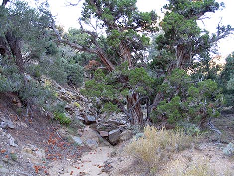 Majestic old California Juniper in wash (view north) |
From the ridgeline (Wpt. 07), the route runs west and up the ridge, weaving among Banana Yucca, pricklypear cactus, other shrubs, and Singleleaf Pinyon Pine and California Juniper trees. When the grade steepens below a high knob (Wpt. 08), the route cuts northwest across the side of the knob to gain the crest of the McCullough Range (Wpt. 09). The crest provides a great view down the canyon to the west with Interstate-15 and Clark Mountain in the background. On the crest, the route runs north and descends to a saddle (Wpt. 10). At the saddle, the route drops off the west side of the ridge and descends a short distance to the sandy wash below (Wpt. 11). In the wash, the route turns north and runs up the canyon. The fairly narrow canyon jogs to the west and then northwest again, and eventually opens into a fairly wide canyon with relatively low ridges on all sides. In this open area, there are some stately old multi-trunked California Juniper trees with thick trunks, shaggy bark, and trunks to about 20 feet high. |
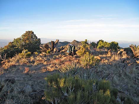 McCullough Mountain summit (view north) |
Because the summit ridges are rounded, it is hard to tell from below which highpoint is the summit. A simple route follows the wash, which passes several pour overs and two possible bivouac sites (Wpt. 12, Wpt. 13) until it ends at a saddle (Wpt. 14). At the saddle, the route turns right (west) and climbs the sidehill, bending to the north, onto the summit (Wpt. 15). From the summit, return to the trailhead by retracing this route, or consider following the McCullough Mountain Ridges Route to make a figure-8-loop back to Pipe Spring. |
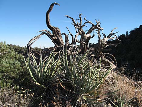 Art in the wilderness |
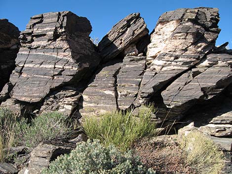 Art in the wilderness |
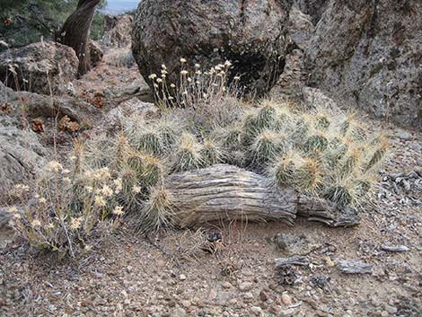 Art in the wilderness |
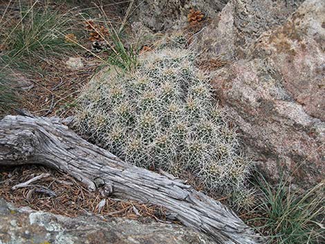 Art in the wilderness |
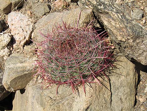 Art in the wilderness |
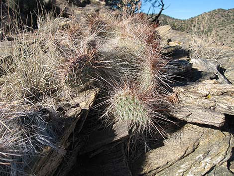 Art in the wilderness |
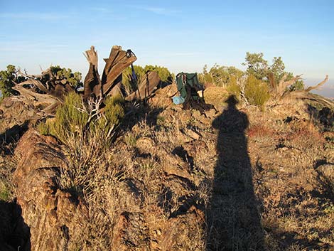 Summit (view E with long shadows) |
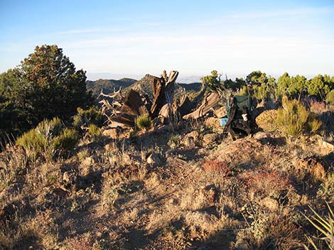 Summit (view N) |
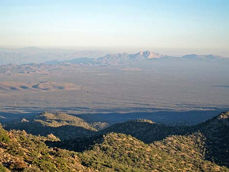 Summit (view SE) |
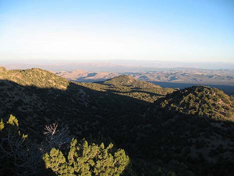 Summit (view SE) |
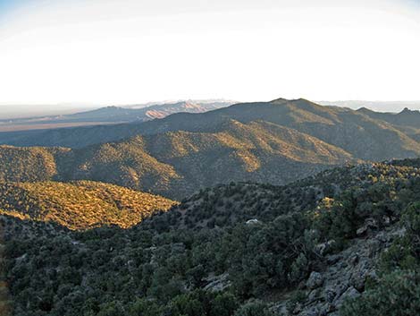 Summit (view S) |
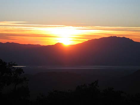 Sunset (view W from summit) |
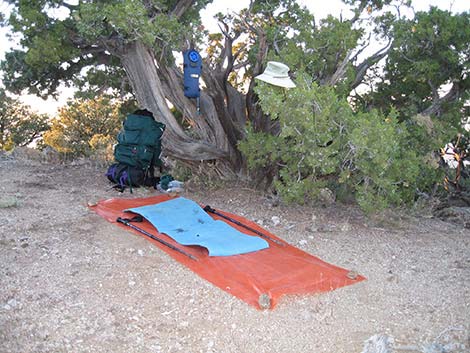 Setting up camp near summit |
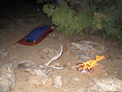 Cold winter night in camp near summit |
Table 1. Highway Coordinates Based on GPS Data (NAD27; UTM Zone 11S). Download Highway GPS Waypoints (*.gpx) file.
| Site | Location | UTM Easting | UTM Northing | Latitude (N) | Longitude (W) | Elevation (ft) | Verified |
|---|---|---|---|---|---|---|---|
| 0927 | Hwy 95 at Hwy 164, Searchlight | 688813 | 3926424 | 35.46519 | 114.91921 | 3,500 | Map |
| 1008 | I-15 at Nipton Rd | 640822 | 3926437 | 35.47327 | 115.44788 | 3,432 | Map |
| 1299 | Hwy 164 at Wee Thump East Rd | 676352 | 3930785 | 35.50678 | 115.05551 | 3,960 | Map |
| 1300 | Wee Thump East Rd at Wee Thump North Rd | 674061 | 3937257 | 35.56551 | 115.07937 | 4,375 | Map |
| 1301 | Wee Thump West Rd at Wee Thump North Rd | 672453 | 3937265 | 35.56586 | 115.09710 | 4,560 | Map |
| 1302 | Pine Spring Rd at Fork | 670165 | 3937004 | 35.56391 | 115.12239 | 4,913 | Map |
| 1303 | Pine Spring Rd Trailhead | 667728 | 3937954 | 35.57289 | 115.14907 | 5,294 | Map |
| 1304 | Pine Spring | 667173 | 3937981 | 35.57322 | 115.15519 | 5,429 | Map |
| 1305 | Hwy 164 at Wee Thump West Rd | 668839 | 3930740 | 35.50768 | 115.13832 | 4,795 | Map |
Table 2. Hiking Coordinates Based on GPS Data (NAD27; UTM Zone 11S). Download Hiking GPS Waypoints (*.gpx) file.
| Wpt. | Location | UTM Easting | UTM Northing | Elevation (ft) | Point-to-Point Distance (mi) | Cumulative Distance (mi) | Verified |
|---|---|---|---|---|---|---|---|
| 01 | Trailhead | 667728 | 3937955 | 5,294 | 0.00 | 0.00 | GPS |
| 02 | First Wash | 667754 | 3938266 | 5,280 | 0.21 | 0.21 | GPS |
| 03 | Fork in Wash, go right | 667689 | 3938294 | 5,290 | 0.05 | 0.26 | GPS |
| 04 | Fork in wash, go north | 667256 | 3938768 | 5,430 | 0.44 | 0.70 | GPS |
| 05 | Leaving Wash | 667107 | 3939525 | 5,637 | 0.59 | 1.29 | GPS |
| 06 | Under Rocky Outcrop | 667124 | 3939723 | 5,809 | 0.15 | 1.44 | GPS |
| 07 | Top of Ridge | 667034 | 3939814 | 6,042 | 0.12 | 1.56 | GPS |
| 08 | Starting across Sidehill | 666375 | 3939885 | 6,343 | 0.50 | 2.06 | GPS |
| 09 | Crest of the Range | 666274 | 3940039 | 6,252 | 0.15 | 2.21 | GPS |
| 10 | Saddle | 666264 | 3940180 | 6,183 | 0.09 | 2.30 | GPS |
| 11 | Bottom of Wash | 666237 | 3940228 | 6,126 | 0.04 | 2.34 | GPS |
| 12 | Possible Camp | 665455 | 3941217 | 6,603 | 0.99 | 3.33 | GPS |
| 13 | Possible Camp | 665362 | 3941247 | 6,583 | 0.06 | 3.39 | GPS |
| 14 | Saddle | 665101 | 3941112 | 6,726 | 0.21 | 3.60 | GPS |
| 15 | Summit | 664939 | 3941228 | 6,949 | 0.16 | 3.76 | GPS |
Happy Hiking! All distances, elevations, and other facts are approximate.
![]() ; Last updated 240330
; Last updated 240330
| Hiking Around Wilderness Areas | Hiking Around Las Vegas | Glossary | Copyright, Conditions, Disclaimer | Home |