
Hiking Around Las Vegas; Tule Springs Fossil Beds National Monument

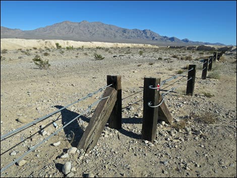 Durango Drive trailhead hiker access (view ENE) |
Overview Tule Springs Fossil Beds National Monument is a new National Park Service area that was designated in December 2014 and as such, there are not yet any designated trails. However, the Durango Short Loop makes a nice and easy, nearly level, 1-mile route that provides a nice introduction to the new Monument. Following old roads, the route circles around one of the mud ridge formations, then cuts back over the mud hills to the trailhead. Fossils can be seen in the mud, but remember, no collecting here -- all paleontological resources are protected. Hiking in this area was suggested by the Protectors of Tule Springs, so this is one of the less sensitive areas. Link to Map. Watch Out Other than the standard warnings about hiking in the desert, there are no particular dangers on this route, other than broken glass and lead-contaminated soils where illegal shooters once practiced. While hiking, please respect the land and the other people out there, and try to Leave No Trace of your passage. Also, this hike is fairly short, so just bring what you need of the 10 Essentials. |
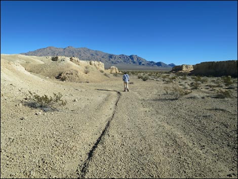 Hiker in Tule Springs Fossil Beds National Monument (view E) |
Getting to the Trailhead From downtown, drive north of Highway 95 towards Reno. Towards the north edge of town, exit right onto Durango Drive following signs towards Floyd Lamb Park at Tule Springs, then continue north to the Durango Drive Trailhead. Park here; this is the trailhead. The Hike From the trailhead, pass through the hiker access point (Table 1, Waypoint 01) into the new National Monument and breathe the fresh air. Walking down the valley to the east, hikers can follow an old road or walk along the base of the cliffs. Either way, walk east on the gray-limestone gravels to the end of the yellow mud ridge on the left. Here the old dirt road ends at a T-intersection with another old road (Wpt. 02). Turning left and walking north, hikers pass by the end of the mud ridge. This area gets more water, the shrubs are more robust and diverse, and there are likely to be wildflowers in the spring. Although somewhat obscure in the white muds, another old road forks off to the left (Wpt. 03). Hikers can follow this road to the left or continue north a few more yards to the next valley and follow the gray-limestone gravels back to the west. |
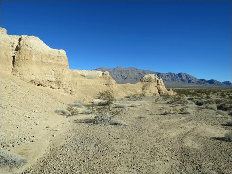 Approaching end of the white mud cliffs (view E) |
Hiking back west, there are nice examples of Mojave Yucca and a few other shrubs in the valley, but the land here supports few plants. At a bit of a mud cliff that juts out into the valley from the left, the old dirt road forks (Wpt. 04). Here, hikers can turn left heading into what now appear to be low mud hills. Climbing onto the low hills, hikers following the dirt road will arrive atop the mud cliffs (Wpt. 05) with nice 360-degree views, including a view across the first gray-gravel valley to the trailhead. Continuing west following the old road, hikers eventually encounter a well-used gully (Wpt. 06) on the left that cuts down through the cliffs and runs directly back towards the trailhead (Wpt. 01). While walking down the gully, look carefully at the eroded mud hills. There are lots of trace fossils here. In this case, the trace fossils are limestone casts made of animal burrows (think of big worm holes) or perhaps holes left when plant roots died and rotted away. But remember, no collecting in the National Monument. |
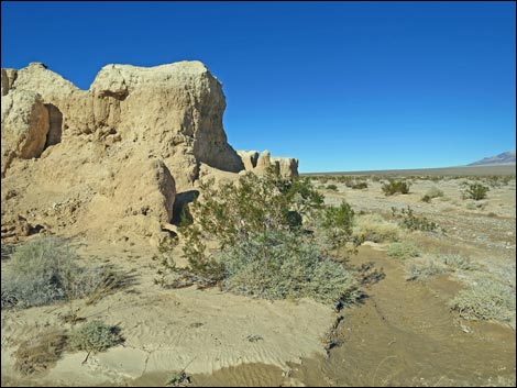 End of the mud cliffs (view N) |
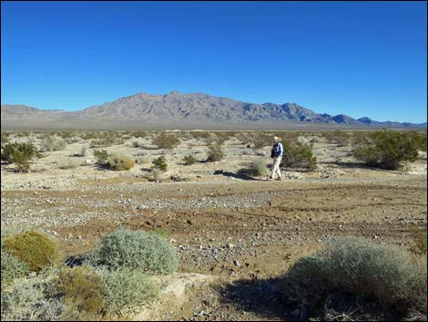 Hiker passing east of the mud cliffs (view NE) |
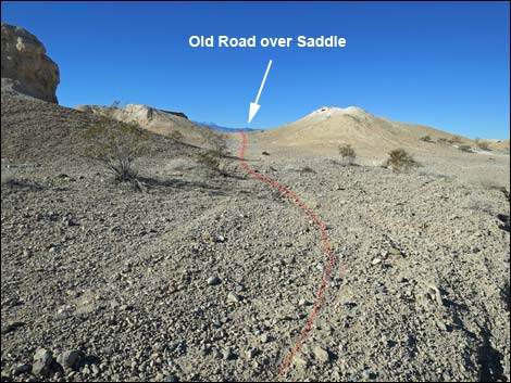 Hikers can turn left on this faint road (view NW), or ... |
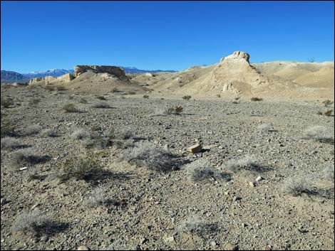 ... Continue into broad gray-gravel valley between mud ridges (view W) |
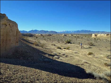 Hiker in broad gray-gravel valley between mud ridges (view W) |
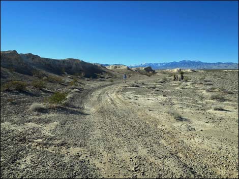 Hiker on old dirt road (view W) |
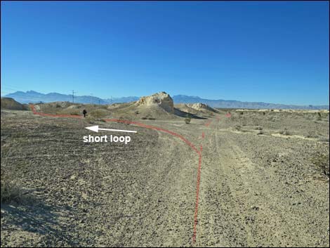 Fork in the road, turning left (view W) |
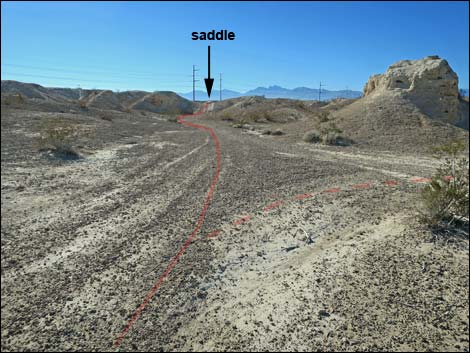 Old road runs into mud hills (view SW) |
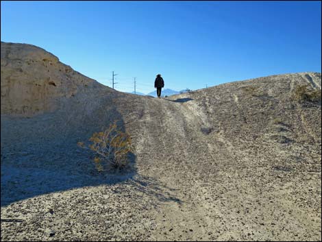 Hiker crossing low ridge into the mud hills (view SW) |
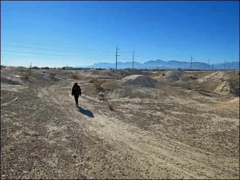 Old road across top of mud hills (view SW) |
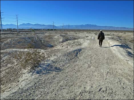 Old road across top of mud hills (view W) |
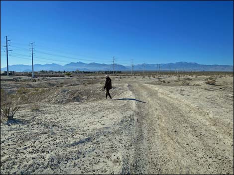 Hiker departing old road into gully (view W) |
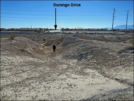 Gully returns hikers to the Durango Drive Trailhead (view S) |
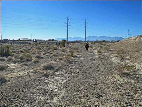 Hiker approaching the trailhead (view SW) |
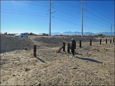 Back to the trailhead (view SW) |
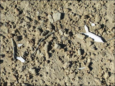 Old bones on the ground; new or old? |
Table 1. Hiking Coordinates and Distances based on GPS Data (NAD27; UTM Zone 11S). Download hiking GPS waypoints (*.gpx) file.
| Wpt. | Location | UTM Easting | UTM Northing | Elevation (ft) | Point-to-Point Distance (mi) | Cumulative Distance (mi) | Verified |
|---|---|---|---|---|---|---|---|
| 01 | Trailhead | 654499 | 4022409 | 2,526 | 0.00 | 0.00 | GPS |
| 02 | Junction of Old Roads | 655074 | 4022622 | 2,476 | 0.43 | 0.43 | GPS |
| 03 | Junction of Old Roads | 654943 | 4022776 | 2,489 | 0.16 | 0.59 | GPS |
| 04 | Junction of Old Roads | 654673 | 4022637 | 2,517 | 0.20 | 0.79 | GPS |
| 05 | Edge of Bluffs | 654607 | 4022525 | 2,531 | 0.10 | 0.89 | GPS |
| 06 | Top of Gully | 654540 | 4022520 | 2,542 | 0.05 | 0.94 | GPS |
| 01 | Trailhead | 654499 | 4022409 | 2,526 | 0.10 | 1.04 | GPS |
Happy hiking! All distances, elevations, and other facts are approximate.
![]() ; Last updated 240330
; Last updated 240330
| Hiking Tule Springs | Hiking Around Las Vegas | Glossary | Copyright, Conditions, Disclaimer | Home |