
Hiking Around Las Vegas, Red Rocks National Conservation Area

 Rocky Gap Trailhead and Bridge Mountain parking (view SE) |
Overview The trail from Rocky Gap Road up over the limestone mountains and down to the edge of the sandstone, and then the scrambling route out across slickrock sandstone and up to the summit of Bridge Mountain, makes for a physically demanding and technically difficult round trip of 6.8 miles. Even with a written route description, waypoints, cairns, and paint marks, hikers will need to do some route finding on the sandstone. The challenge of this hike and the views from many places along the route are rewarding, but in several places the exposure is considerable, and the use of a belay rope would make sense. This hike starts 4.8-miles up Rocky Gap Road. High-clearance vehicles can usually make the first 1.5 miles, but several spots on the upper part of the road require a 4WD vehicle. If hiking from lower down, walking any part of the road would make this a very long dayhike. Link to map. |
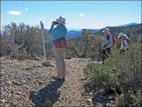 Hikers at signed trail junction on the crest of the range (view SE) |
Watch Out Other than the standard warnings about hiking in the desert, ... the trail section of this hike is safe enough, but scrambling on the 4th class cliffs definitely is life threatening. It is only 4th class, so you won't fall for lack of hand and footholds, but falling from many places on this route will certainly end in death, and there are plenty of other places where a fall would result in life-threatening injuries. A moment of inattention by one member of my party on an exposed 2nd-class section nearly led to a serious fall. The 4WD road is a bit of a thrill with narrow spots and high cliffs. Be sure to always drive carefully while watching for idiots on motorcycles and trucks racing on the road -- there are plenty of blind curves where careful drivers might meet these people. While hiking, please respect the land and the other people out there, and try to Leave No Trace of your passage. Also, this is a long hike, so be sure to bring the 10 Essentials. This route runs up into the Rainbow Mountain Wilderness Area; pay particular attention to respecting the land. |
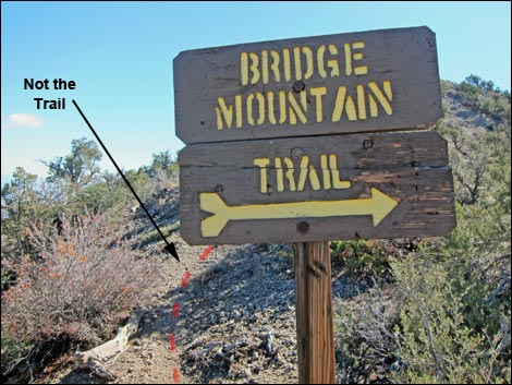 Bridge Mountain Trail sign (view SE) |
Getting to the Trailhead
This hike is located along Rocky Gap Road in Red Rock Canyon National Conservation Area, about 1-3/4 hours west of Las Vegas. Drive out to Red Rocks, pay the fee, and then drive about half-way around the Scenic Loop to Willow Springs Road. Turn right and drive north 0.6 miles to the end of the pavement. Without a 4WD vehicle, consider stopping here and using the Willow Springs Trailhead. Otherwise, continue past the pavement onto the unpaved Rocky Gap Road. Drive north and then west 4.8 miles to Rocky Gap Summit Trailhead, which is a few yards short of the highpoint on the road. Park here; this is the trailhead. |
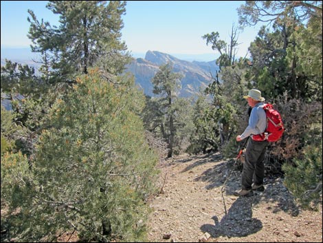 Hiker by campsite, dropping off the crest to the east (view SE) |
The Hike From the trailhead (Table 1, Waypoint 01), the trail runs southeast out of the parking area. Shortly, the trail forks (Wpt. 02). Here, an old road scar cuts left, but the trail stays right. The well-built trail generally follows the limestone ridge, eventually climbing to the crest of the Spring Mountain Range at a signed trail junction (Wpt. 03). Following the crest south, the trail passes a "Bridge Mountain Trail" sign (Wpt. 04) and eventually reaches a wide area with a campsite where the trail abruptly turns left (Wpt. 04) and descends to the east. The trail runs northeast, descending along a ridge. The trail leaves the limestone soils at Keystone Overlook (Wpt. 06), then descends switchbacks to Canyon Overlook (Wpt. 07) atop towering sandstone cliffs overlooking Pine Creek Canyon. For details of the trail to this point, see Bridge Mountain Trail - Trailhead to Canyon Overlook. |
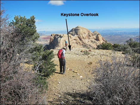 Keystone Overlook with hiker at Keystone Thrust contact (view E) |
Continuing beyond Canyon Overlook (Wpt. 07), the route turns north over the top of the ridge and descends northeast into a gully towards a large singleleaf pinyon pine about 50 yards out. Hiking down the gully, the use-trail and cairns make the route apparent in most places, and the trail eventually contours to the right onto the top of the ridge. In this area of solid rock, hikers need to start relying on cairns, but generally the route stays on the north side of the ridgeline. Eventually, the route switchbacks down ramps into a broad open area on the left. As an aside, a cleft in the rocks to the right leads to a narrow overlook with a view into Pine Creek Canyon. Passing the overlook gap, the route continues out the ridge staying on the north side until the ridge becomes quite narrow. Here, the route follows the top of the ridge, and the first of the painted arrows (Wpt. 08; trail markers) become apparent. In this area, it is useful to abandon trekking poles as shortly they become more of a hindrance than a help. Be sure to leave them in an obvious place where they can be retrieved on the return. |
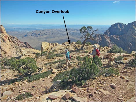 Hikers passing Canyon Overlook (view E) |
When the ridge narrows (Wpt. 09), a use-trail wraps around the left (north) side of a rocky knob, then continues around the knob to the right and descends a steep, rocky, brush-filled gully that leads to flat areas on the south-facing slope. Following a dirt use-trail, the route contours to the left (northeast) and back onto the top of the ridge, then descends another gully to the right (southeast). Under a contorted ponderosa pine on the south side of the ridge, the route descends a steep, exposed, 3rd or 4-class gully-crack that drops onto ledges on the south side of the ridge. The route again contours onto the top of the ridge, then winds among cliffs and boulders, descends steep gullies, and traverses minimally 3rd-class rock until hikers drop out onto the broad, slickrock neck of sandstone that connects Bridge Mountain with the crest of the Spring Mountain Range. |
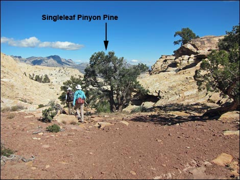 Hikers descending gully past Canyon Overlook (view NE) |
If anyone in the hiking party has had the slightest unease about the exposure to this point, they must stop on the neck, find some shade, and enjoy the view, as dangerous climbing lies just ahead. Remember, it is always harder to downclimb difficult terrain than it is to climb up. The route continues across the neck to the base of the seemingly vertical headwall that guards the summit. By a flat-topped Ponderosa Pine (Wpt. 10), the route runs up and left (northeast) on a ramp of broken rock. A tree with a dead top that can be seen from far away, stands just to the right of the broken ramp. Passing a patch of Pointleaf Manzanita with California Buckthorn and Utah Agave mixed in, the route starts up a broken area, now following steep ramps and shallow cracks to a broad ledge on the left (Wpt. 11). Although it provides hikers no shade, there is a ponderosa pine on the far end of the ledge. This ledge is a good place to rest for a few minutes because the most difficult and exposed part of the route lies just above. |
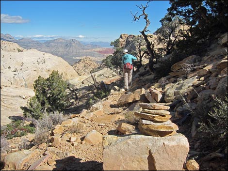 Watch for cairns along intermittent trail (view E) Watch for cairns along intermittent trail (view E) |
On the right end of the ledge, a wide crack leads upward. The crack can be followed to the next ledge, but it is actually easier to climb the crack some 25-30 feet, then step over the crack onto the face on the right. It is not as steep as it looks, but it is steep, and steady nerves are required on this section. The rock is not difficult, and the first misstep will be the last. The face and crack lead to a small ledge (a landing large enough for 3-4 people to stand about comfortably). The crack continues upward, but a plethora of painted arrows point left, while a big painted X suggests not going any farther up. Following the arrows left, an airy step around the corner leads to another comfortable ledge (Wpt. 12). Starting up from the south end of the ledge, a few feet of steep crack leads to more-gentle terrain (another steep ramp). Continuing in-line with the crack and ramp, hikers pass a stunted Ponderosa Pine set with a clump of Utah Agave. |
 Hikers on sandstone (view E) |
From the tree and agave, the route splits: either continue in-line with the ramp and go under the arch (the view of which is only a few feet ahead), or turn up and climb onto the top of the arch. Continuing under the arch (Wpt. 13), the route enters a bowl, then climbs out to the east staying hard against the bridge buttress. The route is a bit steep, but at least the exposure here is minimal. Climbing onto the ridgeline that supports the east end of the arch (Wpt. 14), hikers can continue a few yards northeast to an overlook of another huge tinaja that often holds water. Turning to the south, hikers can look down into the "Hidden Forest" (where about 25 tall ponderosa pine grow) and look up across the summit slopes and the route that lies ahead. Turning south, the route contours around a knob and descends across layered slickrock sandstone. |
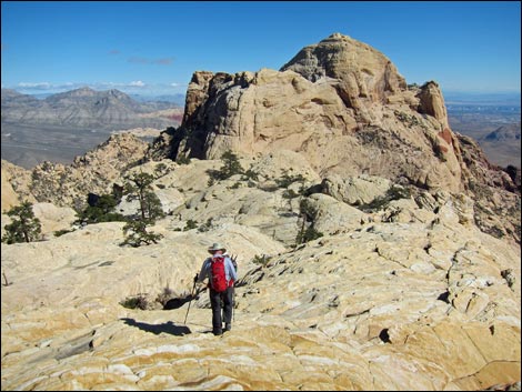 Hikers on sandstone (view E) |
During this contouring descent, hikers can look across the hidden forest and see the arching ramp that leads to the summit. From this view, hikers will again be asking: we go up that? The route descends into a saddle (Wpt. 15) at the west end of Hidden Forest. In one direction shade and welcoming trees; in the other the vastness of space. Here, on the edge of a huge cliff, the route continues across the saddle and up between two large Ponderosa Pine, angling to the left and up across steep slopes to gain the steep ramp that could be seen previously. The ramp is steeper in some parts than others, but at least falling hikers would only roll into the soft duff under the Hidden Forest trees. At the top of the steep ramp (Wpt. 16), the route cuts back hard to the right and climbs onto the summit (Wpt. 17). |
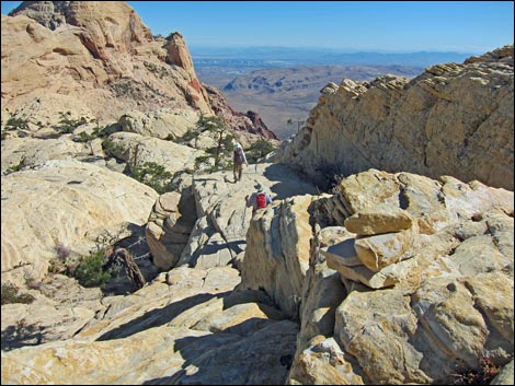 Hikers on sandstone (view E) |
Views from the summit are sweeping with grand vistas up and down the escarpment and out across the Las Vegas Valley. To the north lies North Peak (the north edge of the sandstone escarpment), the La Madre Mountain Range beyond, and the high peaks of the Spring Mountains in the distance (Harris, Griffith, and Mummy, and the Angel Peak Observatory). Views east include Turtlehead Peak, the Calico Hills, and Blue Diamond Hill in the foreground, but distant views go the Pine Valley Mountains above St. George, the Virgin Range, the Grand Wash Cliffs (edge of the Grand Canyon), and the Hualapai Mountains just south of Kingman, Arizona. To the south, distance mountain ranges fade into the haze, but include the South McCullough Range, Mt. Potosi, and the Kingston Range over in California. |
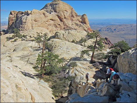 Hikers on sandstone (view E) |
When rested, return to the trailhead by following the route back down the sandstone and trail back up and over the crest of the range, considering on the way out, a visit to the summit of North Peak. Photos of the Descent from Bridge Mountain are posted on a separate page. |
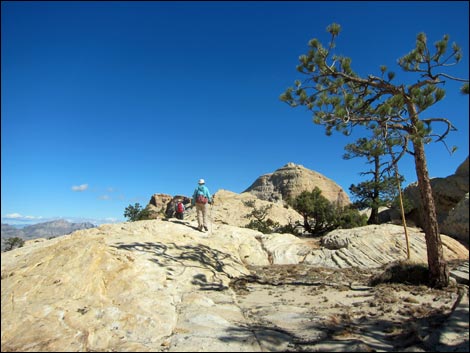 |
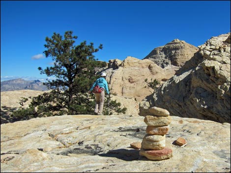 |
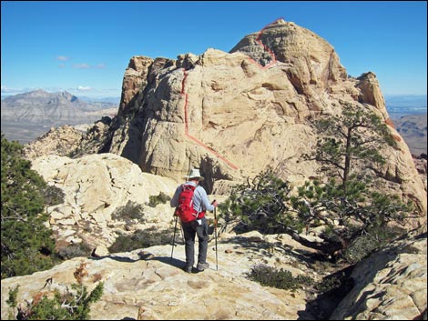 |
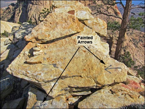 |
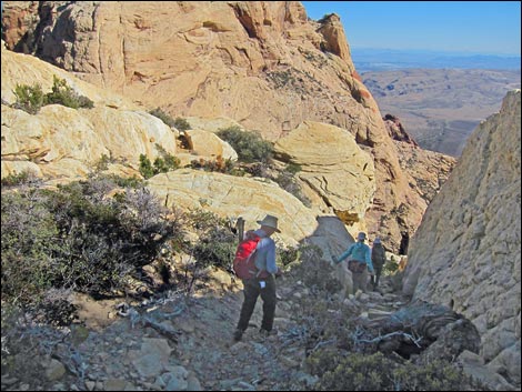 High in steep gully |
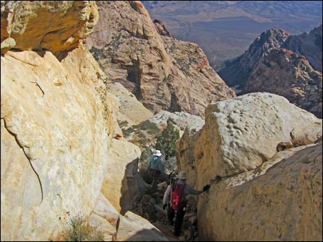 Low in steep gully |
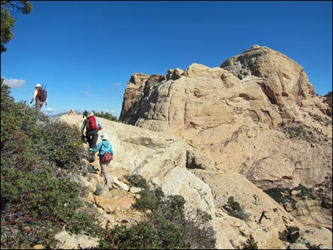 Returning to the ridgeline (view E) |
 Among the first of the paint marks |
 Descending another steep gully towards a contorted pine |
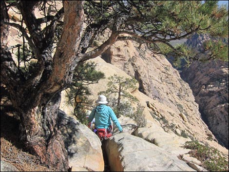 Contorted pine atop steep, exposed, 3rd or 4-class gully-crack |
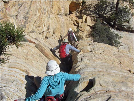 Steep, exposed, 3rd or 4-class gully-crack |
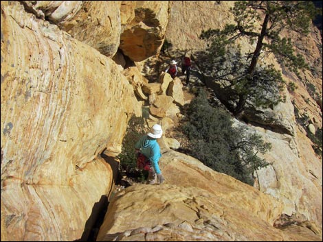 Steep, exposed, 3rd or 4-class gully-crack - no inattention here |
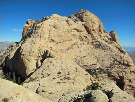 View ahead - we go up where? |
 Descending another steep gully near the ridgeline |
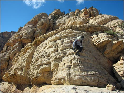 Dropping onto the neck of rock connecting to the summit |
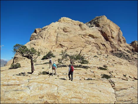 Crossing the neck |
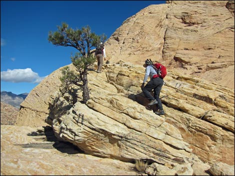 Crossing the neck |
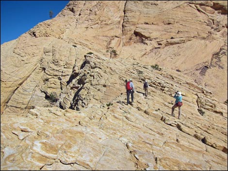 Crossing the neck |
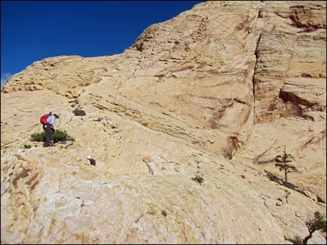 Nearing the headwall |
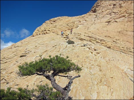 Hikers at the base of the headwall |
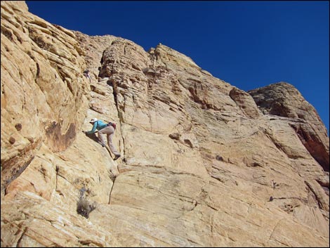 Starting into the cliffs |
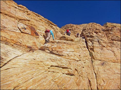 Climbing into the cliffs |
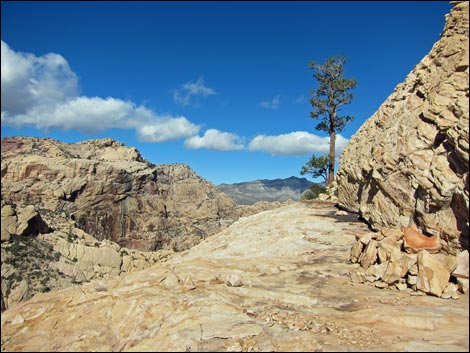 First landing: broad ledge with pine tree |
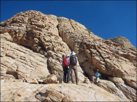 First landing: resting before the dangerous part |
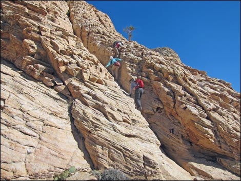 Hikers starting up steep crack and stepping onto steep face |
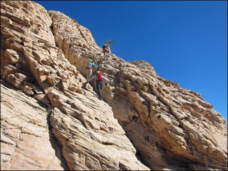 Hikers climbing steep crack and stepping onto steep face |
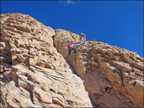 Hiker stepping onto steep face |
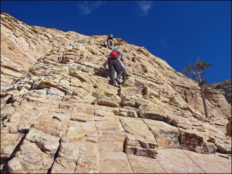 Hikers climbing steep face |
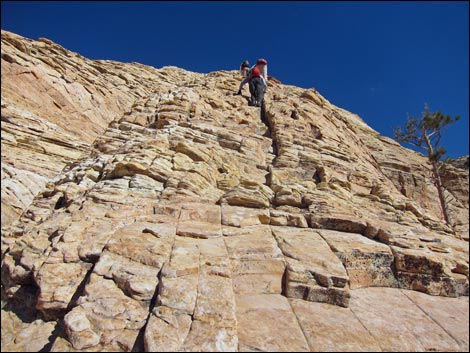 Hikers climbing steep face |
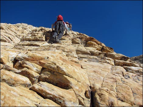 Hikers climbing steep face - don't fall now! |
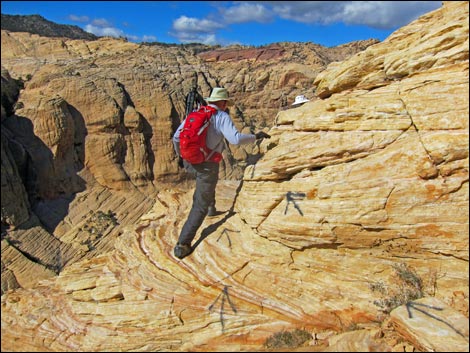 Airy step left from small landing (note painted arrows) |
 Hikers on second landing, starting up steep crack |
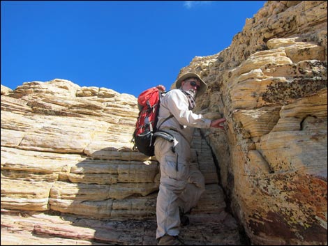 Hiker starting up steep crack |
 Hikers climbing onto more-gentle terrain |
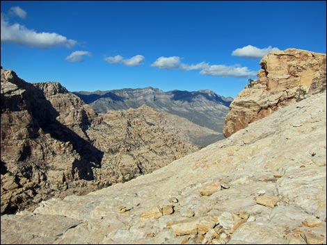 La Madre Mtn in the distance (view NE from Easy Street) |
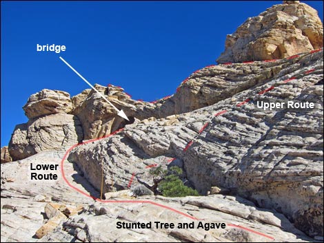 Routes to bottom and top of arch diverge |
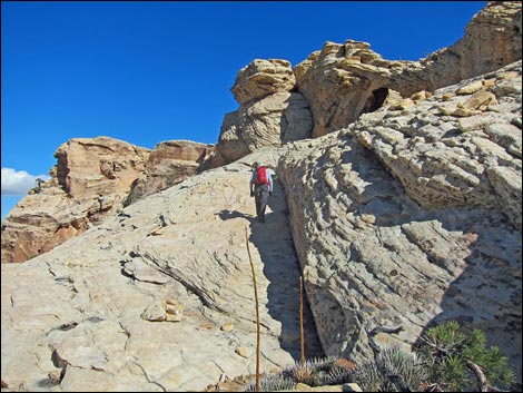 Hikers approaching the base of the bridge |
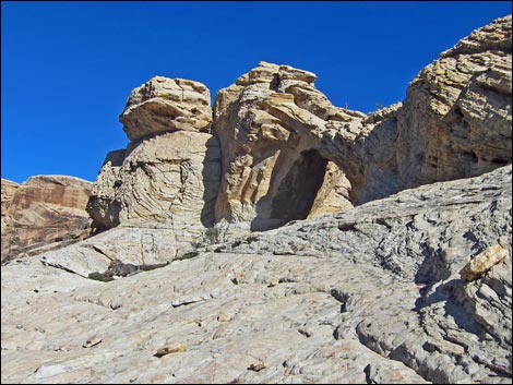 Approaching the base of the bridge |
 Hikers approaching the base of the bridge |
 Base of the bridge |
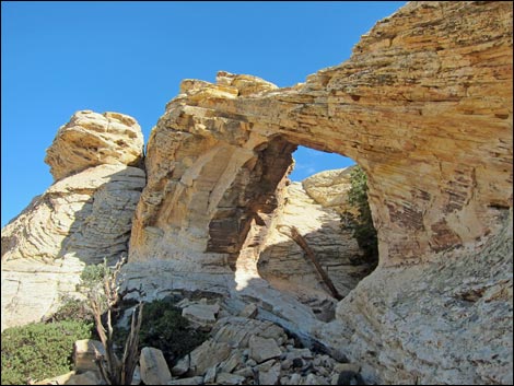 Base of the bridge |
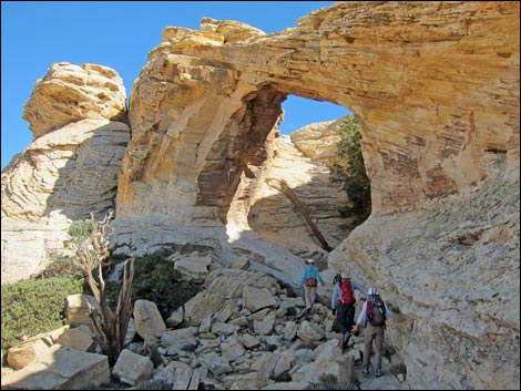 Hikers approaching the base of the bridge |
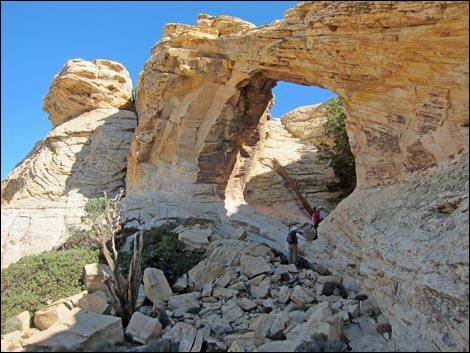 Hikers under the bridge |
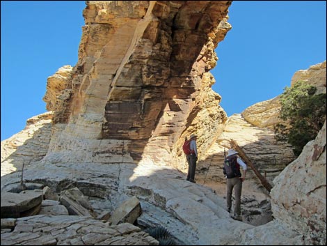 Hikers under the bridge |
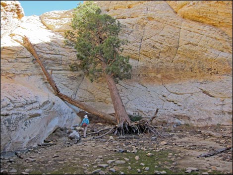 Hiker inside the arch bowl |
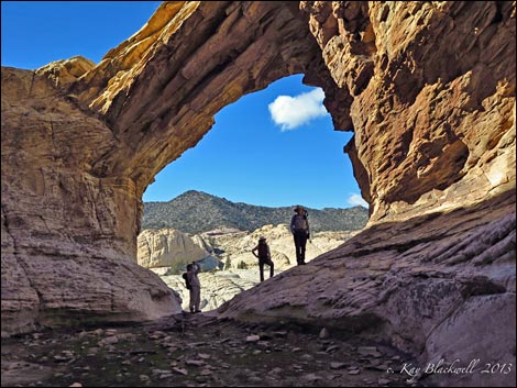 Hiker inside the bridge (photos © 2013 Kay Blackwell) |
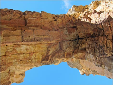 Underside of the arch |
 View north through the arch |
 Hikers exiting the arch bowl |
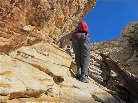 Hikers exiting the arch bowl |
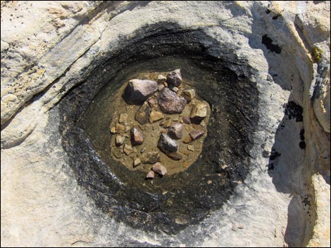 Tiny tinaja |
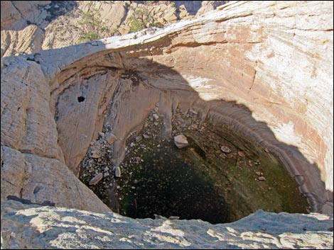 Mega tinaja |
 Hidden Forest |
 Contouring descent towards Hidden Forest |
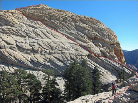 Route on summit slabs visible above Hidden Forest (view SW) |
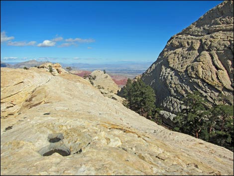 Las Vegas (view E over Hidden Forest) |
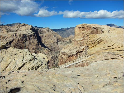 Ice Box Canyon (view NE) |
 Ponderosa Pines in Hidden Forest (view E) |
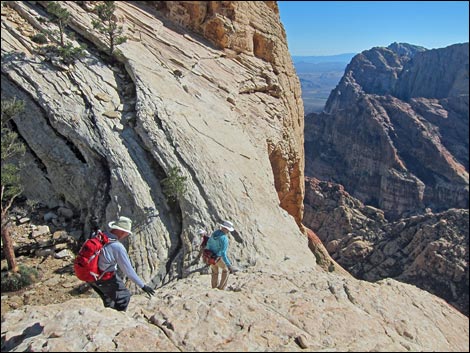 Approaching entrance to Hidden Forest |
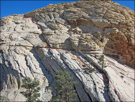 Route beyond Hidden Forest |
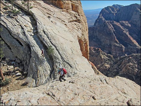 Descending towards entrance to Hidden Forest |
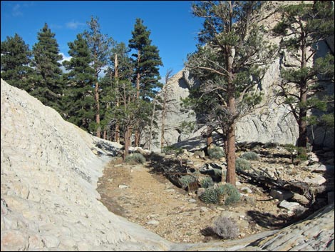 Hidden Forest |
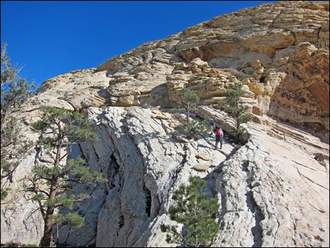 Hiker passing two pines en route to summit slabs |
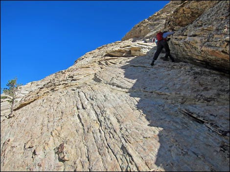 Hiker on steep ramp |
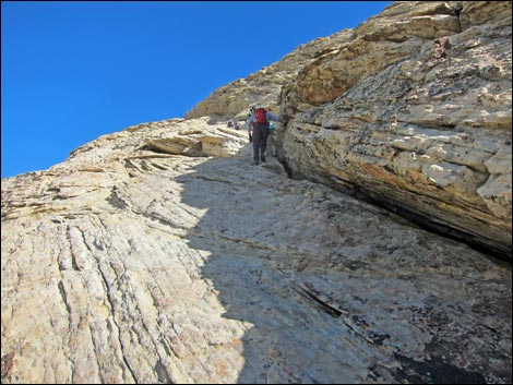 Hiker on steep ramp |
 Hiker on steep ramp |
 Hiker on steep ramp |
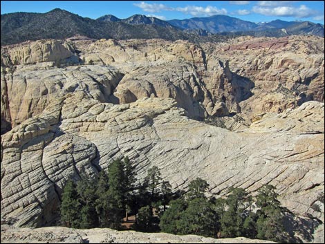 View across Hidden Forest |
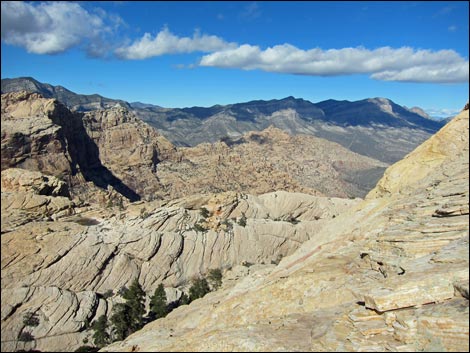 La Madre Range in the distance |
 Hiker on steep ramp |
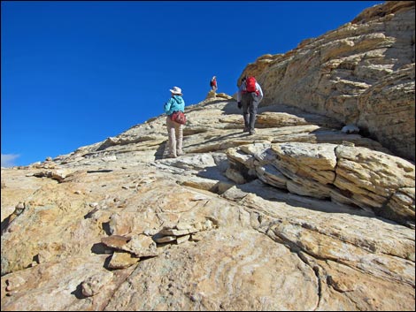 Hikers nearing top of steep ramp |
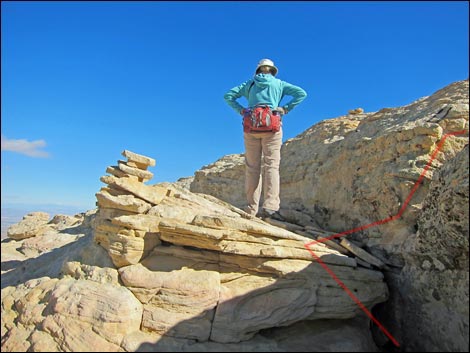 Hiker at top of steep ramp |
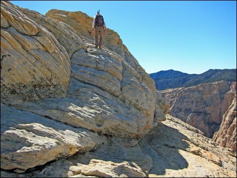 Hiker approaching summit |
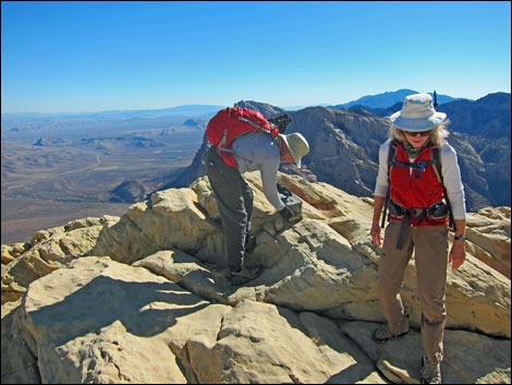 Hikers on summit |
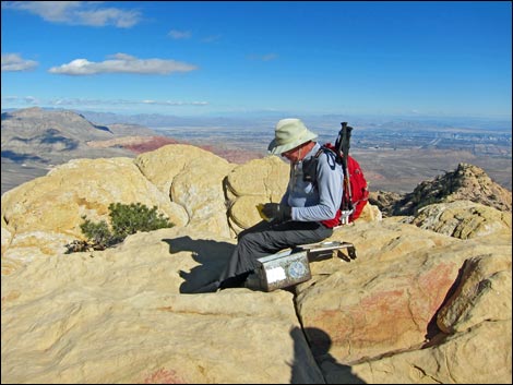 Hiker on summit |
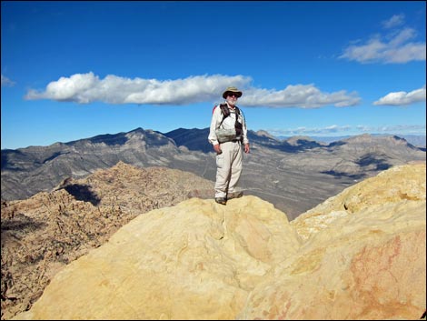 Hiker on summit |
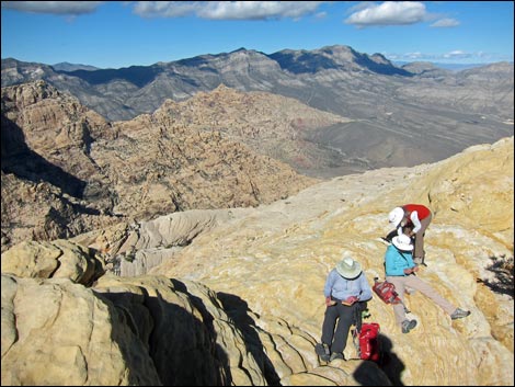 Hikers relaxing on summit |
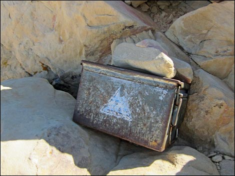 Summit register inside ammo can |
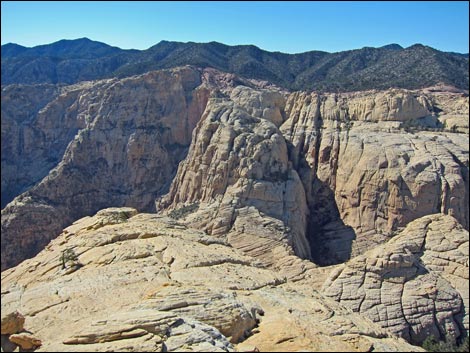 Grand view east - and the route back |
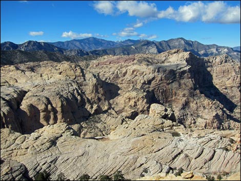 Grand view NNW towards Mt. Charleston |
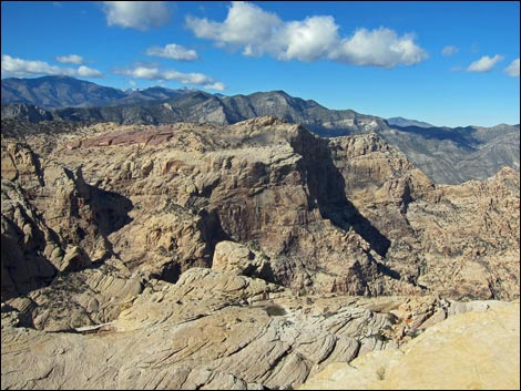 Grand view NNE towards Mt. Charleston |
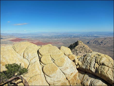 Grand view east across Las Vegas Valley |
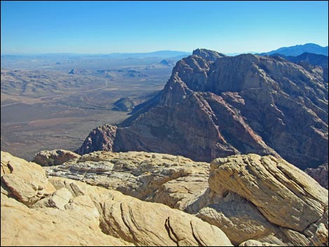 Grand view south long the top of the escarpment |
 More to come ... |
Table 1. Hiking Coordinates Based on GPS Data (NAD27; UTM Zone 11S). Download Hiking GPS Waypoints (*.gpx) file.
| Wpt. | Location | UTM Easting | UTM Northing | Elevation (ft) | Point-to-Point Distance (mi) | Cumulative Distance (mi) | Verified |
|---|---|---|---|---|---|---|---|
| 01 | Bridge Mtn Trailhead Sign | 632066 | 3999267 | 6,483 | 0.00 | 0.00 | GPS |
| 02 | Fork in the Road, Stay Right | 632111 | 3999250 | 6,492 | 0.03 | 0.03 | GPS |
| 03 | Crest of the Ridge, Trail Junction | 633216 | 3999510 | 7,187 | 1.11 | 1.14 | GPS |
| 04 | Bridge Mtn Trail Sign | 633193 | 3999147 | 7,105 | 0.27 | 1.41 | GPS |
| 05 | Campsite on Ridgeline | 633210 | 3998865 | 7,183 | 0.19 | 1.60 | GPS |
| 06 | Keystone Overlook | 633697 | 3998966 | 6,914 | 0.40 | 2.00 | GPS |
| 07 | Canyon Overlook | 633820 | 3999058 | 6,721 | 0.22 | 2.22 | GPS |
| 08 | Top of Ridge, First Arrows | 634211 | 3999281 | 6,539 | 0.42 | 2.64 | GPS |
| 09 | Top of Gully Crack | 634278 | 3999286 | 6,421 | 0.07 | 2.71 | GPS |
| 10 | Base of Headwall | 634535 | 3999419 | 6,352 | 0.25 | 2.96 | GPS |
| 11 | Base of Steep Crack and Face | 634563 | 3999461 | 6,445 | 0.04 | 3.00 | GPS |
| 12 | Landing with Painted X | 634600 | 3999477 | 6,551 | 0.04 | 3.04 | GPS |
| 13 | Below the Bridge | 634681 | 3999503 | 6,654 | 0.07 | 3.11 | GPS |
| 14 | Ridgeline above Arch | 634738 | 3999520 | 6,729 | 0.05 | 3.16 | GPS |
| 15 | Entrance to Hidden Forest | 634763 | 3999414 | 6,669 | 0.08 | 3.24 | GPS |
| 16 | Top of Ramp | 634921 | 3999453 | 6,949 | 0.13 | 3.37 | GPS |
| 17 | Summit | 634904 | 3999420 | 6,986 | 0.03 | 3.40 | GPS |
Happy Hiking! All distances, elevations, and other facts are approximate.
![]() ; Last updated 240329
; Last updated 240329
| Hiking Around Red Rocks | Hiking Around Las Vegas | Glossary | Copyright, Conditions, Disclaimer | Home |