
Hiking Around Las Vegas, Red Rocks National Conservation Area, Mt Potosi Area

 Birdspring Peak trailhead (view N) |
Overview The Birdspring Range runs north-south along the eastern flank of Mt. Potosi and forms a small part of the southwestern margin of the Las Vegas Valley. Birdspring Peak is little more than a hill compared to the nearby mountains, but the 1.5-mile round-trip hike to this peak overlooking Red Rock Canyon NCA and the Las Vegas Valley makes for a very pleasant, easy, off-trail adventure in a scenic place. Views from the summit are surprisingly grand for such a low peak. While the view west is blocked by nearby Mt. Potosi, views northeast stretch into Utah, views east extend over northern Arizona, and views south reach into California. Presented here is a description of the route from the true summit of Birdspring Peak to Peak 5,298, which from the true summit appears to be higher. For details of getting to Birdspring Peak, see Birdspring Peak. Link to map. |
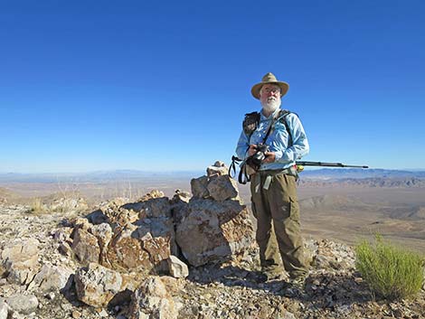 Hiker on the true summit (view NE) |
The Hike From the trailhead (Table 1, Waypoint 01), the route runs north following faint and intermittent game trails along the crest of the ridge to the True Summit (Wpt. 04). Looking north from the true summit, a broad, rounded peak about 1/4-miles out looks as if it might be higher; it is not. However, despite the grand views from the true summit, hikers might enjoy a bit more hiking along the ridgeline to Peak 5,298 (Wpt. 05). From the True Summit (Wpt. 04), the route continues north along the ridgeline and descends to a saddle. In that area, a faint game trail can be followed that runs across the western slope more directly towards Peak 5,298. The game trail fades out, but hikers can continue north and shortly arrive on the broad, rounded summit of Peak 5,298 (Wpt. 05). |
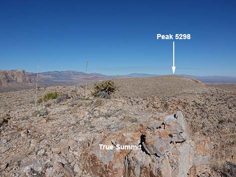 True summit (view N up ridgeline and towards Peak 5298) |
On the USGS Topo Map, it is curious that Peak 5,298 was named (using the elevation) while the highest point, the True Summit of Birdspring Peak, was not. Perhaps Peak 5,298 was named because early (c. 1930s) surveyors worked here rather than on the actual summit. Peak 5,298 has a somewhat better view directly north. It doesn't really matter where the "true" summit is, so just walk the remaining few minutes to Peak 5,298, enjoying the views and the extra time in the desert. Relax, eat lunch, take a few photos, and then walk back south along the ridgeline to the trailhead (Wpt. 01). For hikers who didn't see bighorn sheep on the way up, keep a closer eye on the way back. |
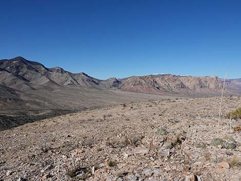 Departing the True Summit heading north (view NNW) |
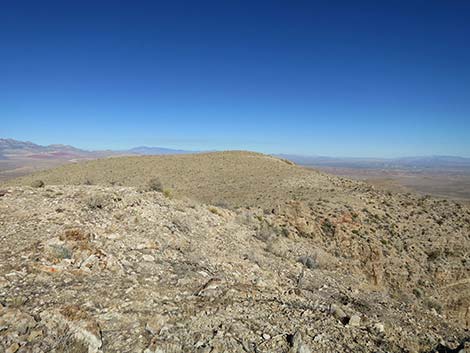 The route follows the ridge into a low saddle (view N) |
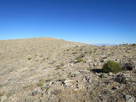 Approaching the low saddle (view N) |
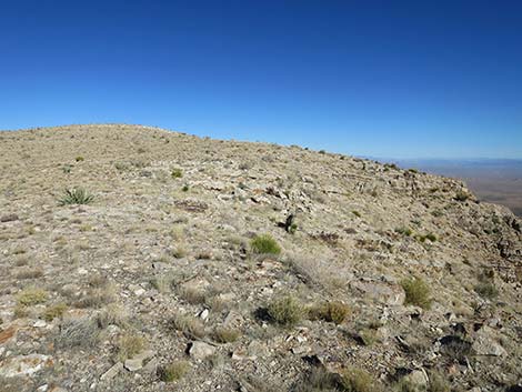 Passing the low saddle (view NE) |
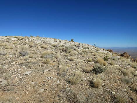 Climbing onto the rounded summit (view NE) |
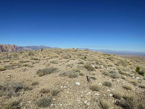 Approaching the rounded summit (view NE) |
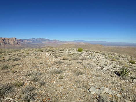 Arriving at the summit of Peak 5298 (view NE) |
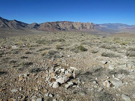 Peak 5298 (view N) [additional summit view photos] |
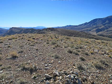 Summit of Peak 5298 (view S) |
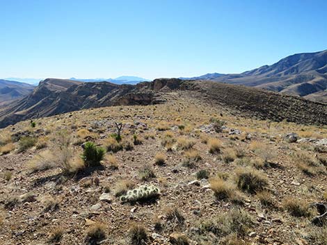 Departing Peak 5298 (view S) |
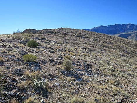 The route follows a faint game trail through the low saddle (view S) |
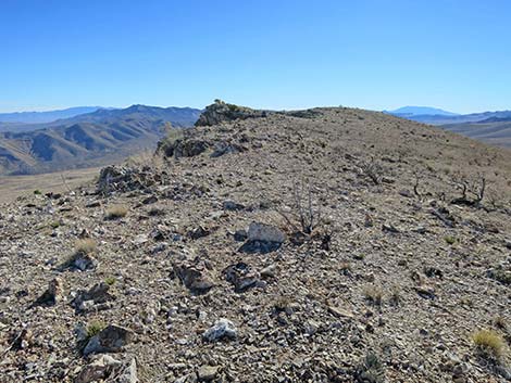 Approaching the True Summit (view S) |
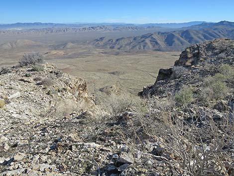 Look over the edge (view SE) |
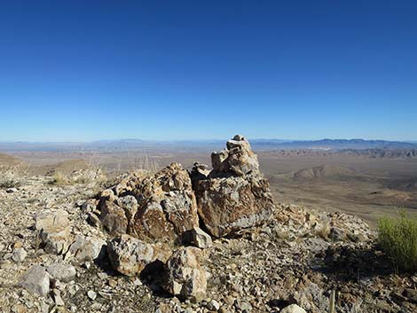 Returning to the True Summit (view S) |
Table 1. Hiking Coordinates and Distances based on GPS Data (NAD27; UTM Zone 11S). Download Hiking GPS Waypoints (*.gpx) file.
| Wpt. | Location | UTM Easting | UTM Northing | Elevation (ft) | Point-to-Point Distance (mi) | Cumulative Distance (mi) |
|---|---|---|---|---|---|---|
| 01 | Trailhead | 641750 | 3980098 | 4,933 | 0.00 | 0.00 |
| 02 | First Peaklet | 641728 | 3980229 | 5,025 | 0.10 | 0.10 |
| 03 | False Summit | 641602 | 3980944 | 5,210 | 0.49 | 0.59 |
| 04 | True Summit | 641659 | 3981194 | 5,311 | 0.17 | 0.76 |
| 05 | Peak 5298 | 641808 | 3981530 | 5,298 | 0.25 | 1.01 |
| 01 | Trailhead | 641750 | 3980098 | 4,933 | 1.01 | 2.02 |
Happy Hiking! All distances, elevations, and other facts are approximate.
![]() ; Last updated 240329
; Last updated 240329
| Hiking Around Red Rocks | Hiking Around Las Vegas | Glossary | Copyright, Conditions, Disclaimer | Home |