Hiking Around Las Vegas, Mount Charleston Area
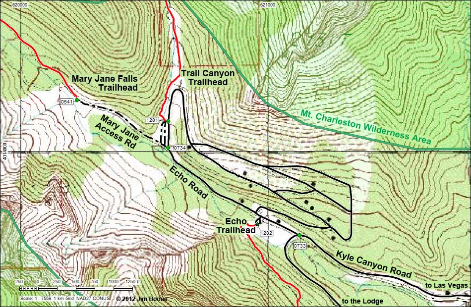
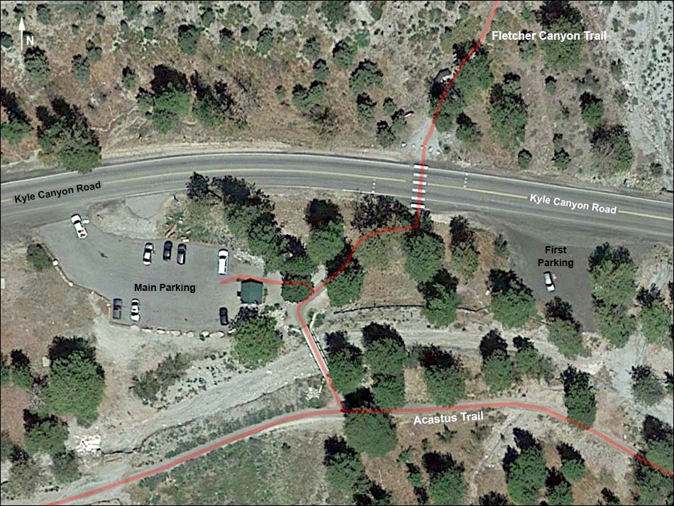
Note: Map based on true-color aerial photography. North is at the top. Grid is UTM NAD27 CONUS. Trails and routes are red (solid = main; dashed = adjacent or alternate). Roads are black (solid = paved; dashed = unpaved; width implies quality). Download waypoint coordinates from route description page.
Happy Hiking! All distances, elevations, and other facts are approximate.
![]() ; Last updated 250402
; Last updated 250402
| Trail Canyon Trailhead | Hiking Around Mt. Charleston | Glossary | Copyright, Conditions, Disclaimer | Home |