Hiking Around Las Vegas, Spring Mountains (Mt. Charleston), Lee Canyon Area
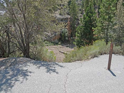
 Deer Creek Picnic Area Trailhead signs and restroom (view NE) |
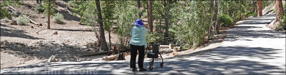
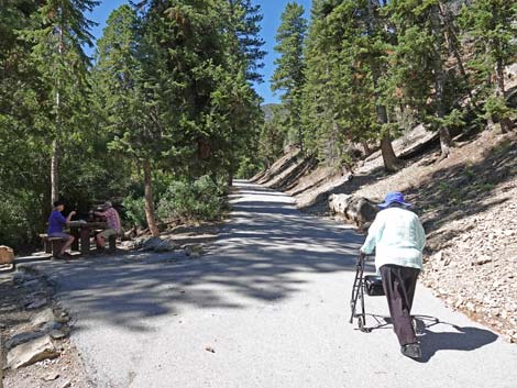
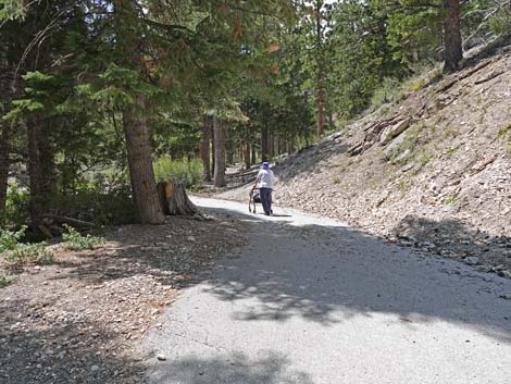
Note, May 2025: This trail has reopened after damage from the 2023 hurricane was fixed. Overview Deer Creek Trail (Deer Creek Picnic Area Trail) is a 1-mile (round trip), paved, fully accessible, trail that leads from the parking area to the top of the picnic area and back. The picnic area originally was a campground, but after flashfloods wiped out the canyon, the area was deemed too dangerous to rebuild the campground. Some of the infrastructure remains, but it hasn't been repaired in decades. The trail follows the old campground road, passing seven picnic tables (mostly usable) and toilets that fell into disrepair a decade ago. The old campground road makes for a delightful trail because it follows along Deer Creek, normally a small babbling stream where birds come down from the trees to drink and bathe, and where kids delight in playing in the water. Except during spring runoff when mountain snows are melting, this is a safe place for kids to play. For hikers with mobility issues and parents with strollers, this is a great choice for a summer hike in the mountains. Link to map. |
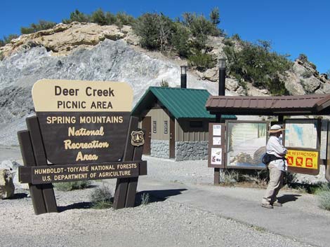
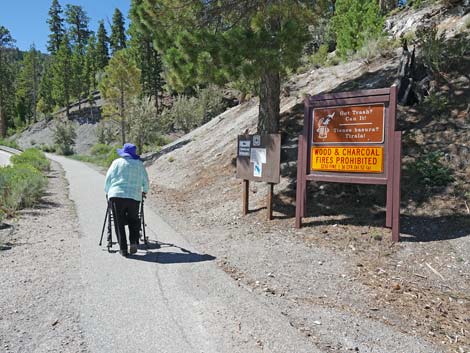
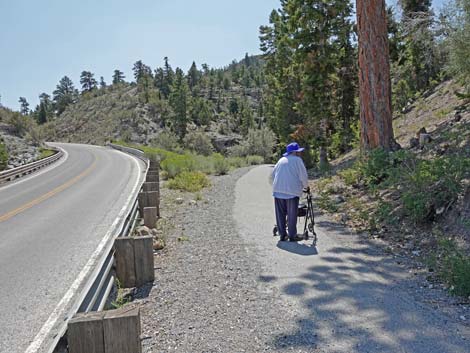
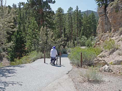
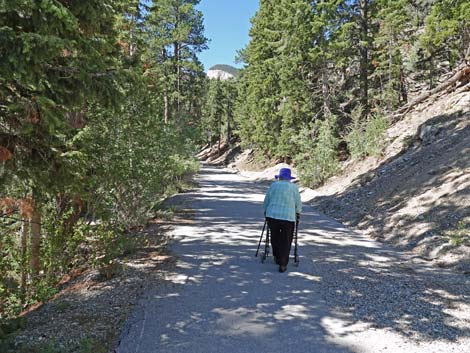
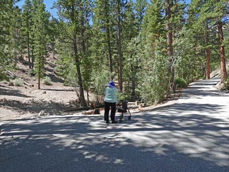
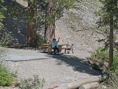
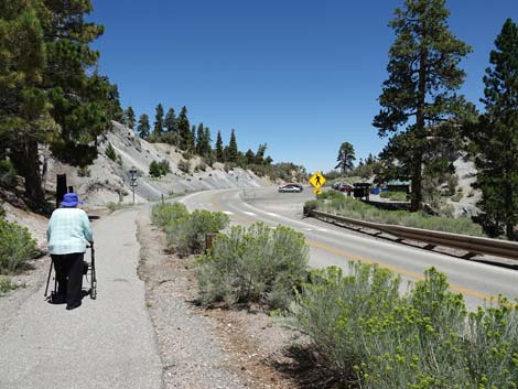
 Hiker ready to get on the trail (view S) |
Watch Out Other than the standard warnings about hiking in the desert, this is a safe paved trail; however, be careful of cars in the parking lot and zooming down the highway. The trail is paved to the top of the old campground, but summer thunderstorms sometimes wash gravel onto the trail. When it gets bad, the Forest Service will clear the gravel, but there can be enough to hinder walkers and wheelchairs. There are some uncommon orchids growing in moist soil along the stream, plus red columbine and yellow-purple shootingstars, so when playing in the creek, please be mindful of these plants that have nowhere else to live in this area. While hiking, but please respect the land and the other people out there, and try to Leave No Trace of your passage. Also, this hike is so short that you probably don't need to bring the 10 Essentials. |
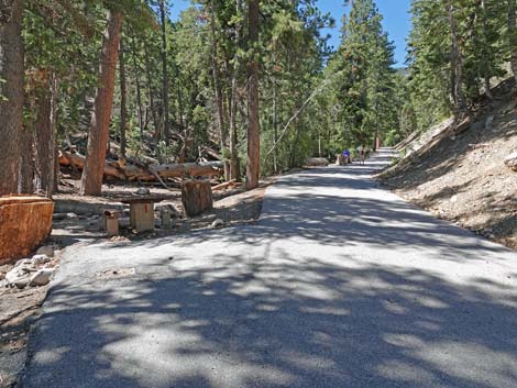
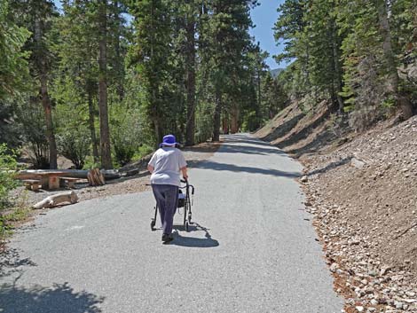
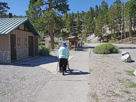 Hiker passing the toilets (view S) |
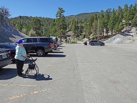
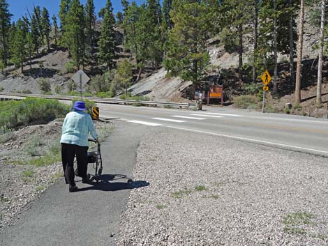
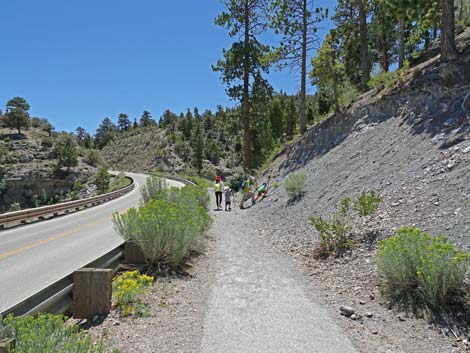
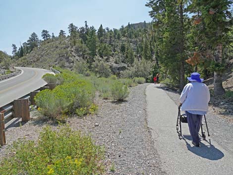
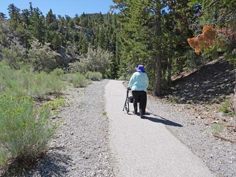
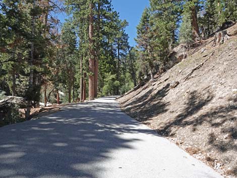
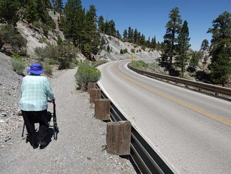
Getting to the Trailhead The trailhead is located up in the Spring Mountains National Recreation Area (generally referred to as Mt. Charleston) on Deer Creek Road between Kyle and Lee Canyons, about 1-1/4 hour northwest of Las Vegas. From town, drive out to the Visitor Center, then drive north on Deer Creek Road 5.5 miles to Deer Creek Trailhead. The Hike From the trailhead (Table 1, Waypoint 01), the paved trail runs south to a marked crosswalk across Deer Creek Road (Wpt. 02). The sight distance to the left is short, and drivers often zoom through this area, so listen carefully for approaching vehicles before venturing into the roadway. Across the road, the trail turns left and runs along the outside of the highway guardrail. For 200 yards, the trail runs along the roadway where vehicles pass by within arm's reach, but the guardrail is sturdy. Along this stretch, gravel from the hillside falls onto the trail, which can cause problems for walkers and other assists with small wheels. |
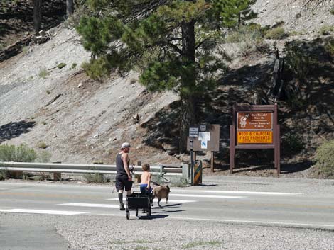 Crossing the road with a wagon-load of picnic supplies (view SW) Crossing the road with a wagon-load of picnic supplies (view SW) |
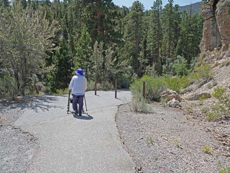
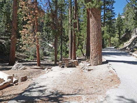
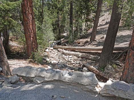
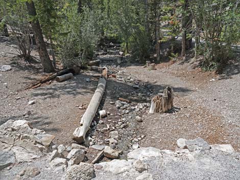
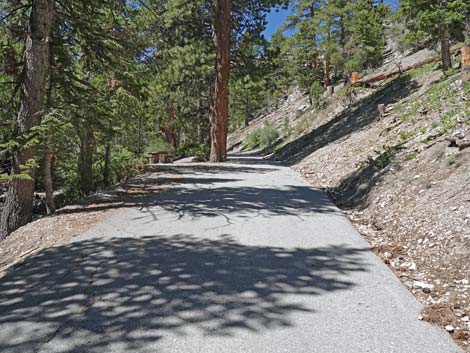
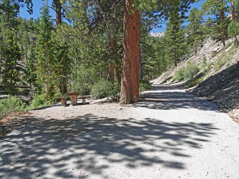
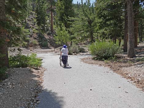
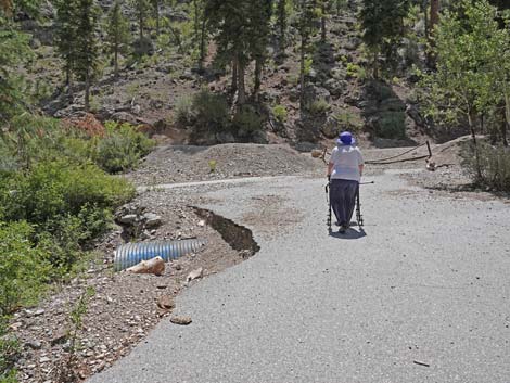
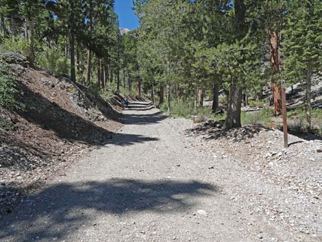
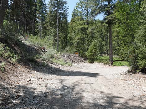
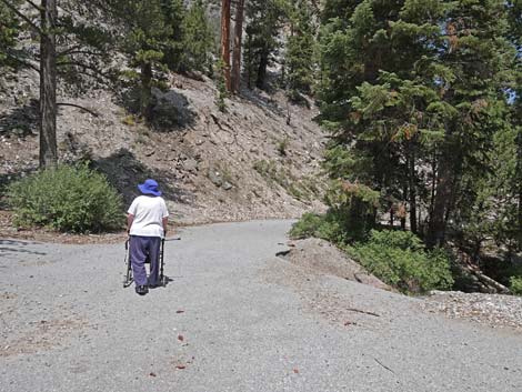
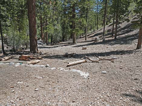
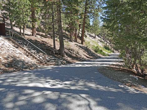
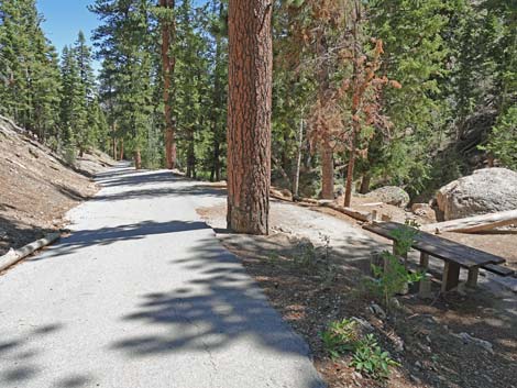
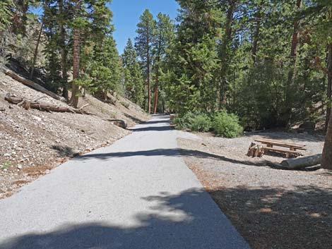
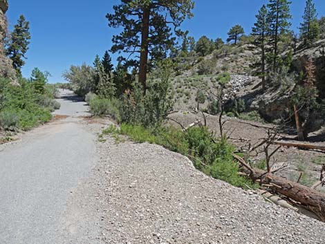
Before long, the paved trail bends to the right, passes between upright posts that block vehicles (Wpt. 03), and the nature of the trail instantly changes to a walk in the woods where tall trees provide shade and sometimes water pools against the highway berm to create a pond. Cliffs rise on the right, and red flowers attract hummingbirds. The trail drops gently and then begins a gradual climb up the canyon. There are seven picnic tables, and the trail passes Table #1 at about 0.22 miles out. The tables are nice for picnics, and they are nice places to sit quietly and listen to the babbling brook, the wind in the pines, and the songs of birds. Continuing up the trail, the grade steepens around Table #2 or Table #3, and during late summer 2021, the first running water was near Table #4. The trail continues at what seems to be a gentler grade, passes Table #5, and at about 0.40 miles out, passes the old, closed toilets perched on a bench above the trail to the right. On the left, the old road forks (Wpt. 04). The paved right fork continues up the canyon, but the left fork goes over a bridge to where the pavement has washed away. |
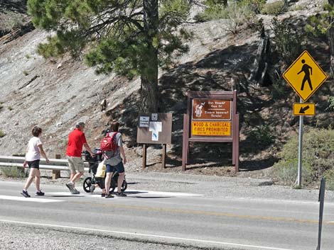 Family crossing Deer Creek Road with a double stroller (view SW) |
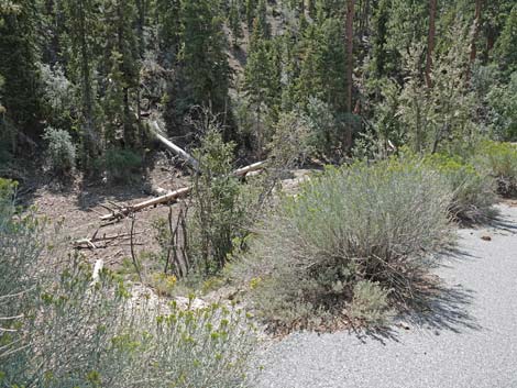
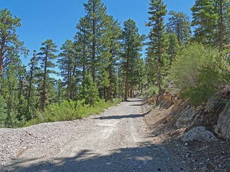
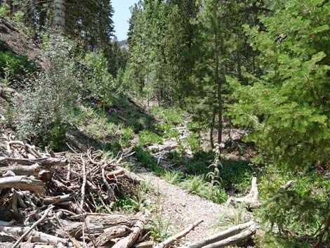
Continuing to the right, the trail passes Table #6. Shortly thereafter, the trail bends to the left to cross the stream at a second bridge (Wpt 05). Table #7, on the right, is the last table. For hikers who need a fully accessible trail, Table #7 marks the end of the hike. Rest and relax here, perhaps enjoy a picnic lunch, and then return back down the trail to the trailhead (Wpt. 01). For others, consider turning left along the south side of the stream and hiking downhill through the forest back to the first bridge, where the main trail is rejoined at the old restrooms. Additionally, some hikers might want to continue straight from the top of the trail and cross a dilapidated gate to Cougar Ridge Road. Hikers can turn right and continue up the dirt road for 0.3 miles to a third bridge. The other side of the bridge is private property, so that is a good place to turn around. Similarly, hikers can turn left onto Cougar Ridge Road and walk back towards the highway. This part of the road gives nice views down onto the picnic area. Cougar Ridge Road connects with Deer Creek Road, but it is best to walk back to the trailhead through the picnic area rather than making a loop on Deer Creek Road because there is no safe shoulder to avoid traffic. |
 Hiker approaching Deer Creek Road |
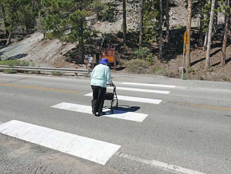 Hiker crossing Deer Creek Road |
 Hiker across deer Creek Road |
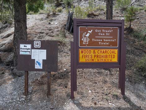 Information signs |
 A family on the trail |
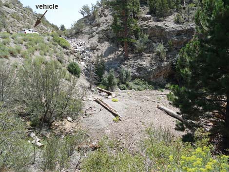
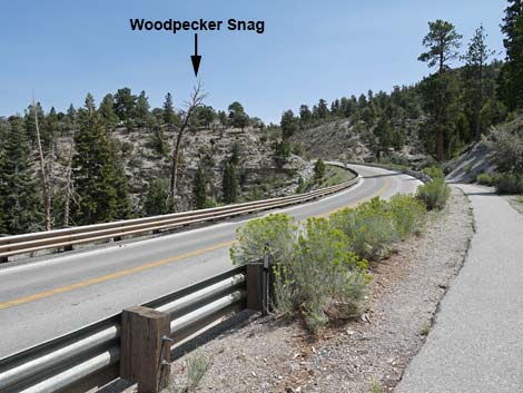 Woodpecker snag across the highway (view S) |
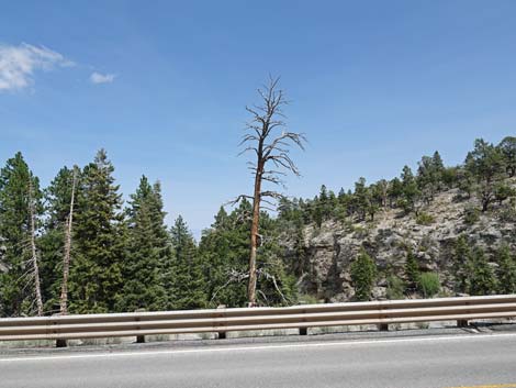 Woodpecker snag across the highway (view E) |
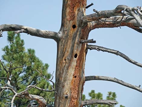 Old Woodpecker nest holes (view E) |
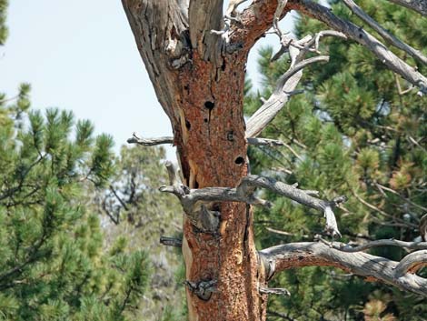 Watch for swallows using old Woodpecker nest holes (view E) |
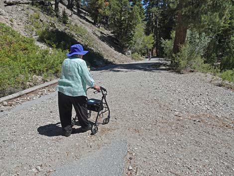
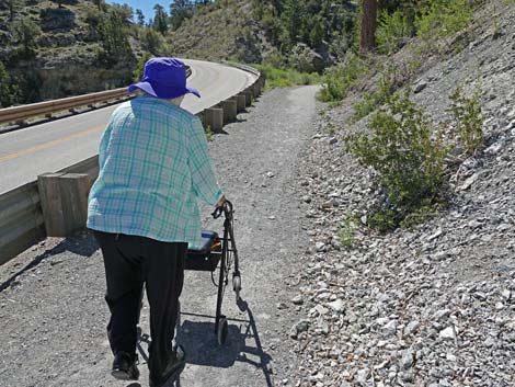 Gravel on the trail makes hard going with a walker (view S) |
 Hiker pausing to inspect the wild rose bushes (view S) |
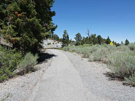
 Trail approaching the curve away from the highway |
 Trail curves away from the highway |
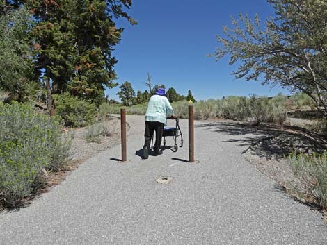
 Hiker approaching vehicle barricade (view SW) |
 Looking over the edge towards the pond (dry; view S) |
 Dry pond above highway berm (view SE) |
 Hiker passing vehicle barricade at the entrance to the picnic area |
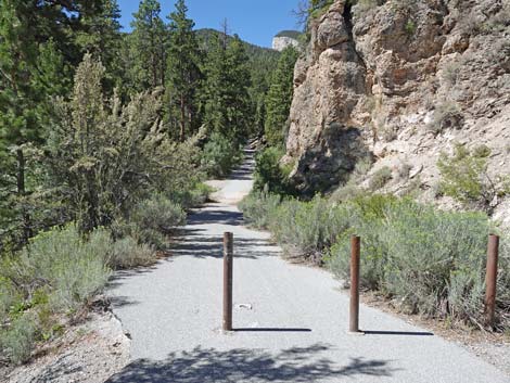 Vehicle barricade at the entrance to the picnic area (view W) |
 Looking over the edge towards the dry pond (view SW) |
 Hiker descending gentle grade into the forest |
 Approaching Table #1 |
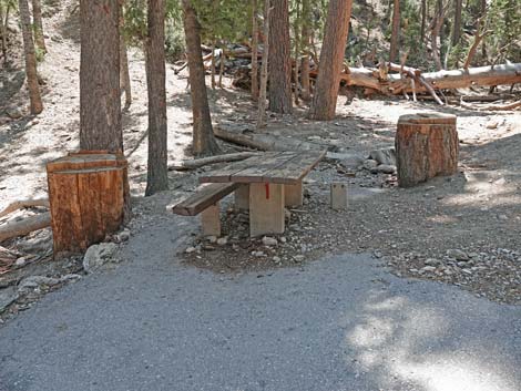 Table #1 has one bench |
 Approaching picnickers on Table #2 |
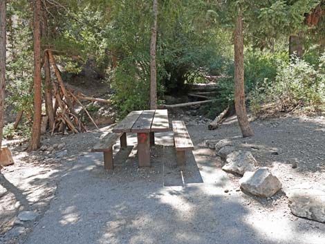 Table #2 |
 The grade of the trail steepens |
 Hiker approaching Table #3 (view W) |
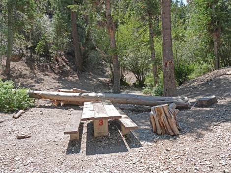 Table #3 (view SW) |
 Approaching Table #4 (view W) |
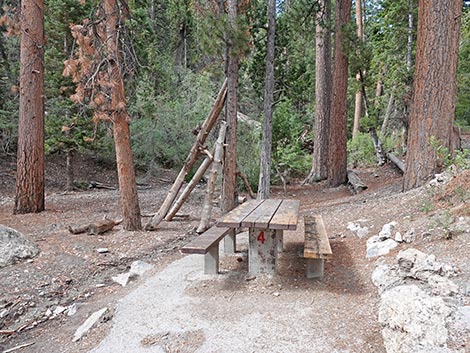 Table #7 (view W) |
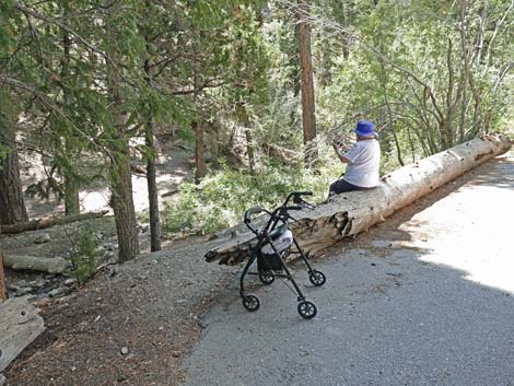 A log along the trail makes for a nice place to sit |
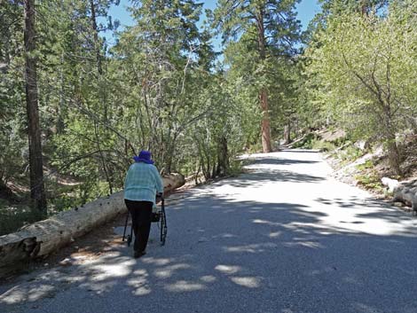 Hiker continuing past the sitting log |
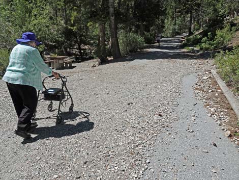 Approaching Table #5; gravel on trail after recent rainstorm |
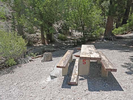 Table #5 (view SW) |
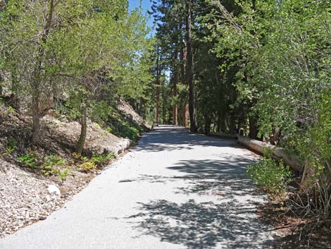
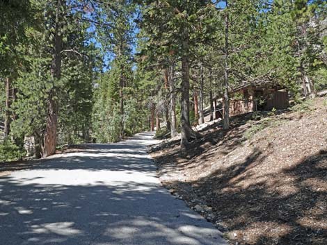 Continuing up for shady trail |
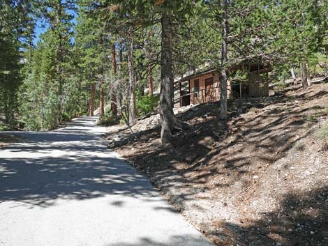 Approaching the old restrooms (closed) |
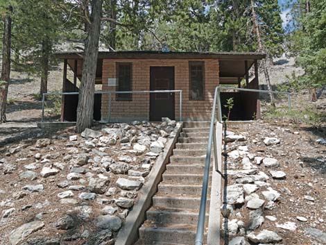 Old, closed restrooms on the hillside above the trail |
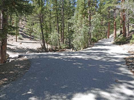 The trail forks (view SW) |
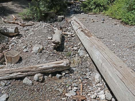
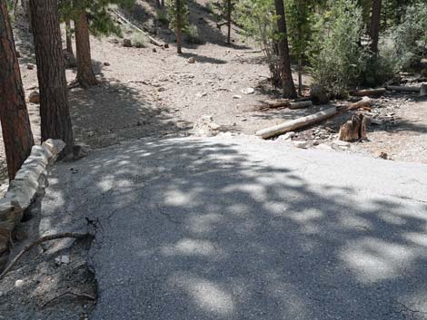 Left fork is a bridge over the stream (view SW) |
 Atop bridge over the stream (view E; downstream) |
 Atop bridge over the stream (view W; upstream) |
 Hiker continuing on the right (main) fork |
 Trail continues up the canyon (view W) |
 Approaching Table #6 (view W) |
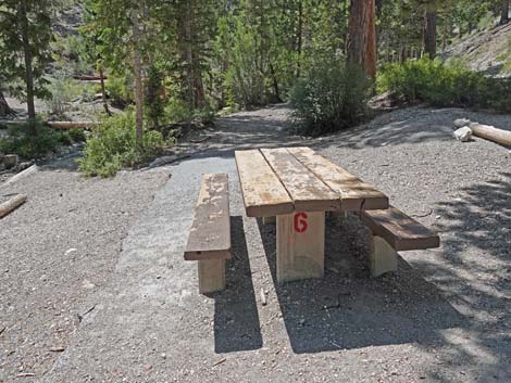 Table #6 (view SW) |
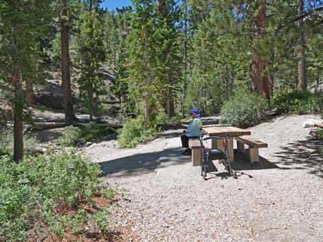 Hiker stopping for a rest Table #6 |
 Small stream during summer at Table #6 (view upstream) |
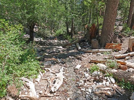 Small stream during summer at Table #6 (view downstream) |
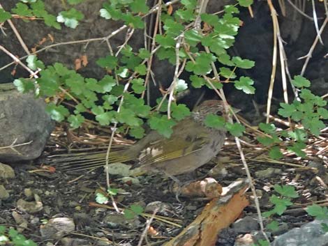 Green-tailed Towhee skulking in the moist bushes Green-tailed Towhee skulking in the moist bushes |
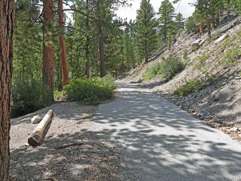 Continuing past Table #6, trail continues up canyon (view W) |
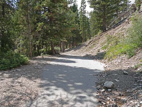 Trail continues up canyon (view W) |
 Trail bends to the left (view SW) |
 Hiker on trail approaching Table #7 (view S) |
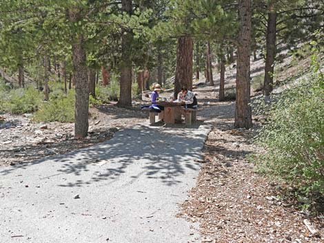 Table #7 (view W) |
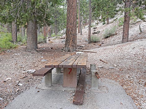 Table #7 (view W) |
 Hiker arriving at the second bridge (view S) |
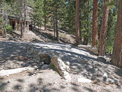
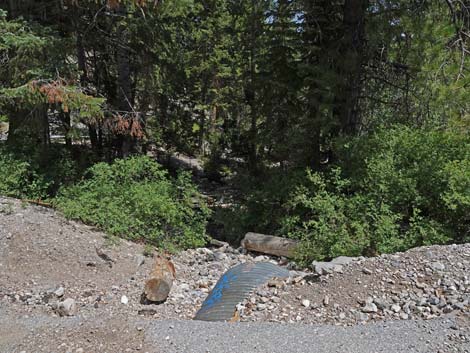 Culvert under the trail at the second bridge (view E; downstream) |
 Second bridge (view W; upstream) |
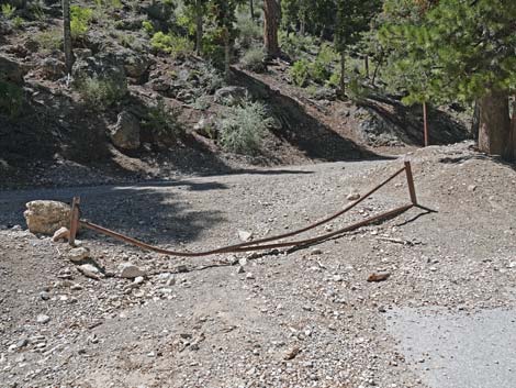 Dilapidated old gate (view S) |
 Cougar Ridge Road (view W up the canyon) |
 Cougar Ridge Road (view E down the canyon) |
 For hikers who head up Cougar Ridge Road, road end here (view W) |
 For hikers who head up Cougar Ridge Road, a trail continues (view W) |
 From 2nd bridge, hikers can turn around to go back down (view N) |
 From 2nd bridge, hikers can turn left to make a loop (view E) |
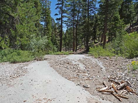
 End of the pavement (view E) |
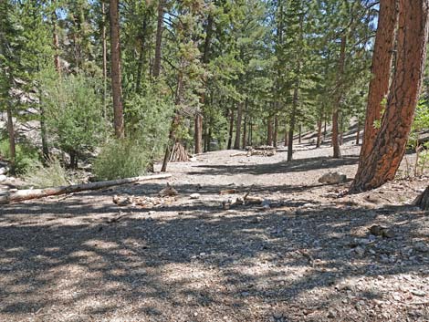 Continuing down through the woods (view E) |
 Looking across the stream bed to hiker resting at Table #6 (view N) |
 Continuing down through the woods (view E) |
 Approaching the first bridge (view NE) |
 First bridge; Restrooms in the background (view NE) |
 Across the bridge, the loop-trail joins the main trail (view NE) |
 Hiker starting back down (note gravel on the pavement) |
 Returning to the log bench (view E) |
 Returning to Table #4 (view E) |
 Returning to Table #3 (view E) |
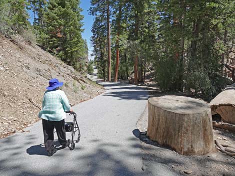 Passing the stump of an ancient ponderosa pine tree (view E) |
 Evidence of post-storm cleanup: gravel piled off to the side (view E) |
 Dry pond (view E) |
 Approaching the low point on the trail; the pond is dry (view E) |
 Returning through the vehicle barricades (view NE) |
 Approaching Deer Creek Road (view N) |
 Not much room for the trail (view N) |
 Hiker continuing along Deer Creek Road (view N) |
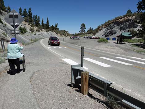 Approaching the crosswalk, watch carefully for approaching vehicles |
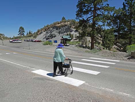 Crossing Deer Creek Road towards the trailhead (view NE) |
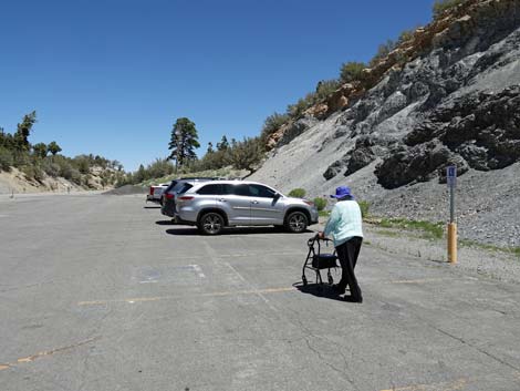 Hiker back to the parking lot (view N) |
Table 1. Hiking Coordinates Based on GPS Data (NAD27; UTM Zone 11S). Download Hiking GPS Waypoints (*.gpx) file.
| Wpt. | Location | UTM Easting | UTM Northing | Elevation (ft) | Point-to-Point Distance (mi) | Cumulative Distance (mi) |
|---|---|---|---|---|---|---|
| 01 | Deer Creek Trailhead | 623839 | 4019508 | 8,322 | 0.00 | 0.00 |
| 02 | Deer Creek Road Crosswalk | 623818 | 4019458 | 8,322 | 0.04 | 0.04 |
| 03 | Enter Picnic Area | 623871 | 4019328 | 8,347 | 0.09 | 0.13 |
| 04 | Trail Forks | 623611 | 4019011 | 8,448 | 0.27 | 0.40 |
| 05 | Top of the Loop | 623528 | 4018933 | 8,484 | 0.08 | 0.48 |
| 04 | Trail Forks | 623611 | 4019011 | 8,448 | 0.09 | 0.57 |
| 01 | Deer Creek Trailhead | 623839 | 4019508 | 8,322 | 0.40 | 0.97 |
| . | . | . | . | . | . | . |
| 06 | Residential Road | 623530 | 4018917 | 8,547 | 0.00 | 0.00 |
| 07 | End of Public Road | 623156 | 4018651 | 8,753 | 0.31 | 0.31 |
| 06 | Residential Road | 623530 | 4018917 | 8,547 | 0.31 | 0.62 |
Happy Hiking! All distances, elevations, and other facts are approximate.
![]() ; Last updated 250518
; Last updated 250518
| Hiking Around Mt Charleston | Hiking Around Las Vegas | Glossary | Copyright, Conditions, Disclaimer | Home |