
Hiking Around Las Vegas, Spring Mountains (Mt. Charleston)

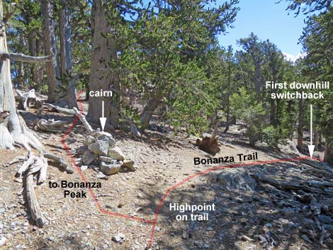 |
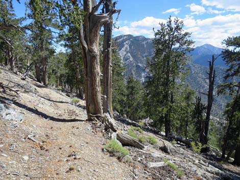
The Hike -- Segment 2 -- Bonanza Peak Junction to Wood Spring (2.25 miles) From the junction (Table 1, Wpt. 13) with the use-trail to Bonanza Peak (Wpt. 14), the Bonanza Trail begins the long descent towards Wood Spring. In this area, the trail gets little use and is covered with pine debris. Starting out, the trail quickly passes 2 short downhill switchbacks (the first downhill switchbacks since the trailhead), then traverses down and across the slope to the West Ridge of Bonanza Peak. The trail turns down along the ridgeline and passes a large, flattish area that would be suitable for setting up several tents (dry camp). At about 0.3 miles past the trail junction, the trail bends left over the ridgeline (Wpt. 12) and begins down the Southwest Face of Bonanza Peak. |
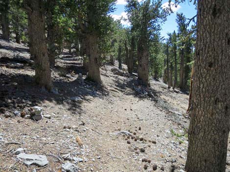 |
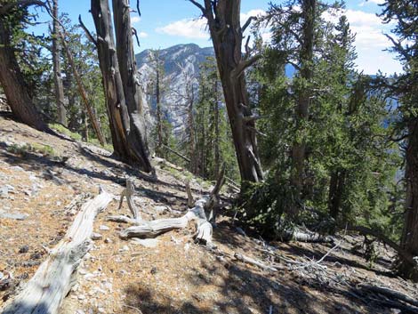
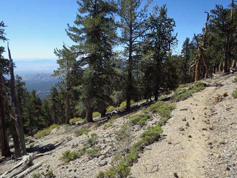
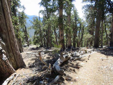
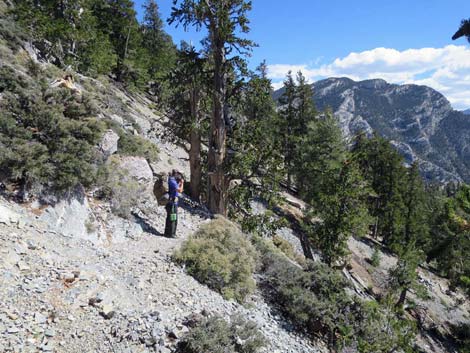
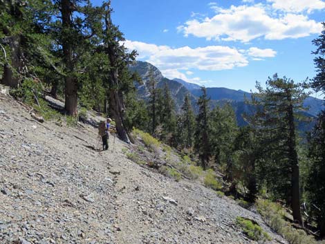
The trail descends 4 short, steep switchbacks through a rocky section where the trail is faint from disuse. The trail then traverses the hillside and descends 4 longer switchbacks. Again traversing the hillside, after passing a limestone outcrop and 2 tiny switchbacks, the trail climbs to pass more rocky outcrops. On these craggy talus slopes, the trail is not well groomed and there are lots of rocks, sticks, and pine cones piling up on the trail. The trail descends 4 shorter switchbacks, traverses the hillside again, and arrives at the top of a long series of long, gentle, well-constructed switchbacks (Wpt. 11). Descending at a mostly gradual pace, the trail passes 11 switchbacks on the slopes. There are some nice, high, and exposed sections of trail on the side of the peak with good views to the southwest. Up high, most of the switchbacks are gentle, but getting into the Wood Spring area, the switchbacks become short and steep. |
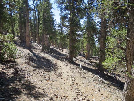 |
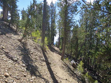
The trail runs down a gully, passes 2 short switchbacks and arrives at a trail sign, which marks a faint use-trail to two campsites on the ridgeline to the right. The campsites can be seen from the junction and are big enough for one or two tents. This is steep country, so for hikers inclined to camp near the spring, this is the place to do it. About 40 yards farther, the trail arrives at Wood Spring (Wpt. 10). Wood Spring is on the uphill (right) edge of the trail. The water is captured in a small metal box with a pipe coming out of the side, and water flows out onto the trail. |
 |
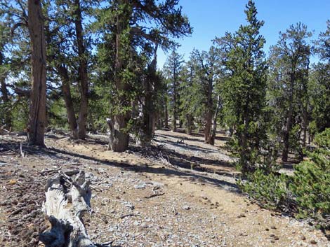
Water historically has been available here into early summer, but with the climate changing and the land drying out, water is unreliable. Early in the year, drinking water is available here, but the metal box is open, so be sure to treat or filter the water. The spring box is rusting out and leaks, which makes water more difficult to collect. In 2017, I used a cup to catch water and pour it into larger containers. Trees in the Wood Spring area are surprisingly diverse and include a mix of higher-elevation and lower-elevation species: Ponderosa Pine, Utah Juniper, White Fir, Bristlecone Pine, Common Juniper, and Mt. Mahogany. |
 |
 |
 |
 |
 |
 |
 |
 |
 |
 |
 |
 |
 |
 |
 |
 |
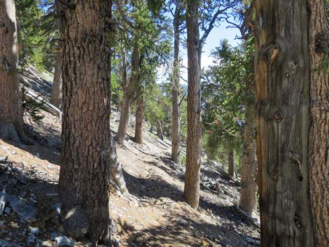
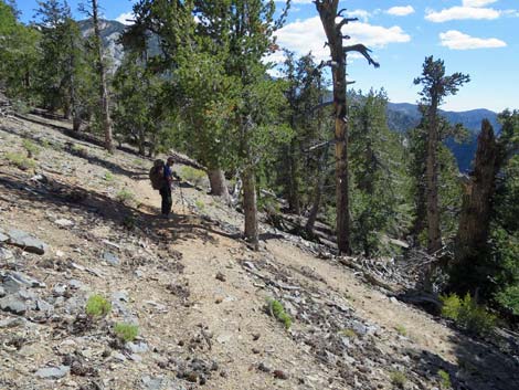
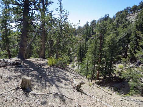
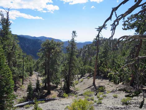
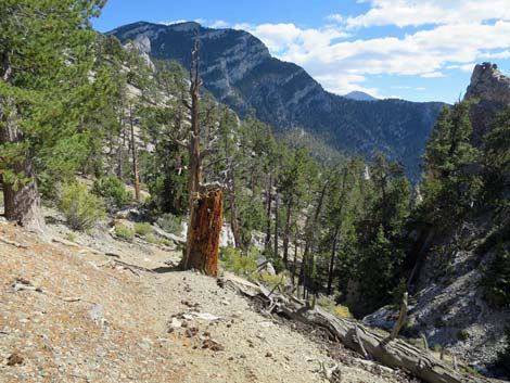 Bonanza Trail near Wood Spring (view S) Bonanza Trail near Wood Spring (view S) |
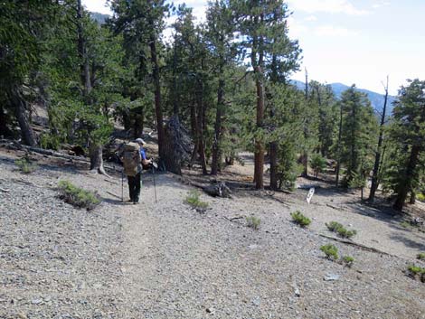
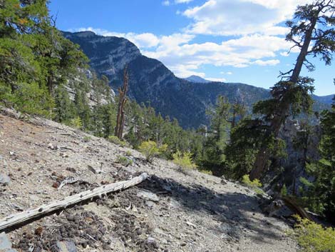
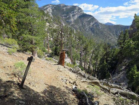
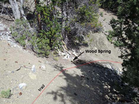 Bonanza Trail arriving at Wood Spring (view S) |
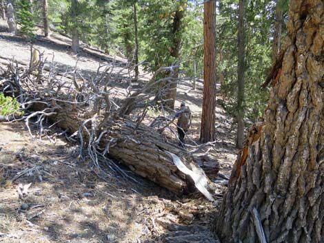
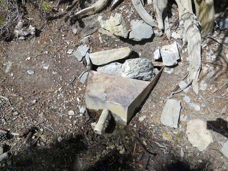 Wood Spring at edge of Bonanza Trail (view NE) |
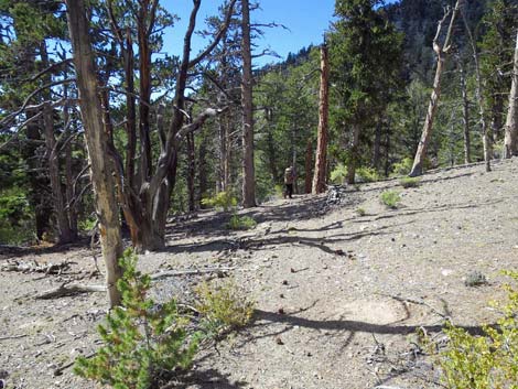
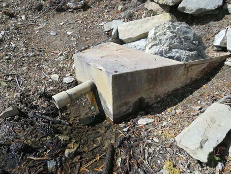 Wood Spring at edge of Bonanza Trail (view N) |
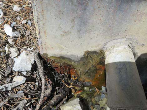 In September, a tiny trickle from the rusted spring box |
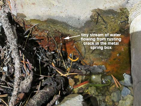 Tiny stream of water flowing from rusting crack in the spring box |
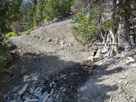 Water from Wood Spring seeping across Bonanza Trail (view N) |
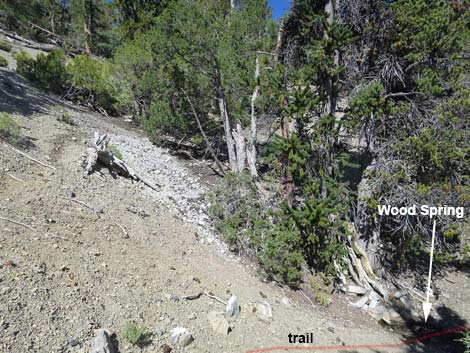 Seep on hillside above Wood Spring (view SE) |
Happy Hiking! All distances, elevations, and other facts are approximate.
![]() ; Last updated 240329
; Last updated 240329
| Hiking Around Mt Charleston | Hiking Around Las Vegas | Glossary | Copyright, Conditions, Disclaimer | Home |