
Hiking Around Las Vegas, Mojave National Preserve

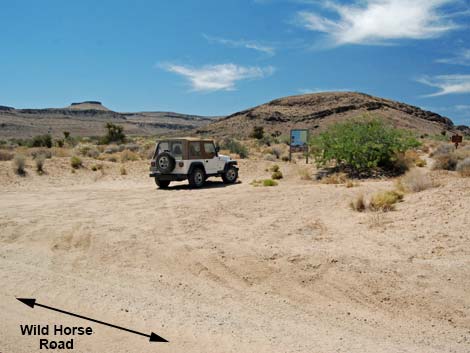 Wild Horse Trailhead (view W) |
Overview Wild Horse Trailhead is a sandy parking lot along the south end of Wild Horse Road in the mouth of a broad canyon with volcanic mountains all around. Wild Horse Trailhead provides access the Wild Horse Spur Trail, which is an alternate start (or end) to the Barber Peak Loop Trail and the Hole-in-the-Wall to Mid Hills Trail. Link to trailhead map. |
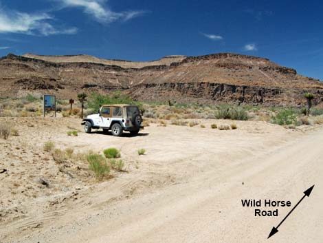 Wild Horse Trailhead (view NE) |
Getting to the Trailhead This hike is located in Mojave National Preserve, about 2 hours south of Las Vegas. From town, drive down to Mojave National Preserve and the Hole-in-the-Wall Visitor Center (Table 1, Site 0502), which is about 85 miles south of Las Vegas. From the Visitor Center, drive back out to Black Canyon Road (Site 0836), turn right and drive south for 0.25 miles to Wild Horse Road (Site 1267). Turn right onto the graded Wild Horse Road and drive west for about 1.1 miles to the trailhead parking area (Site 1268), which is on the north (right) side of the road. Park here; this is the trailhead. |
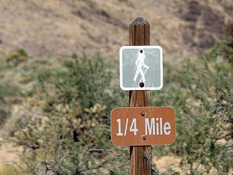 Sign along Wild Horse Road westbound (view NW) |
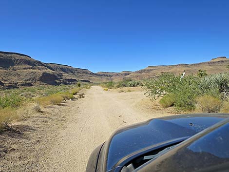 Wild Horse Road approaching Wild Horse Trailhead (view W) |
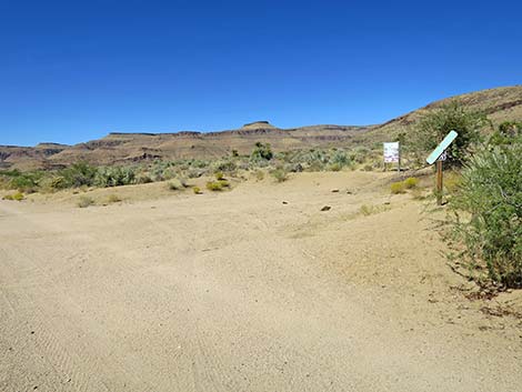 Wild Horse Road at Wild Horse Trailhead (view W) |
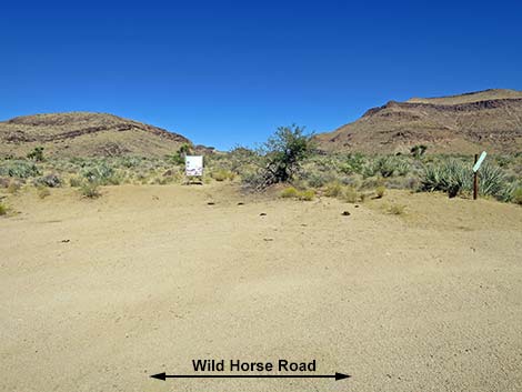 Wild Horse Trailhead (view N from Wild Horse Road) |
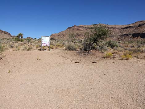 Wild Horse Trailhead parking (view N) |
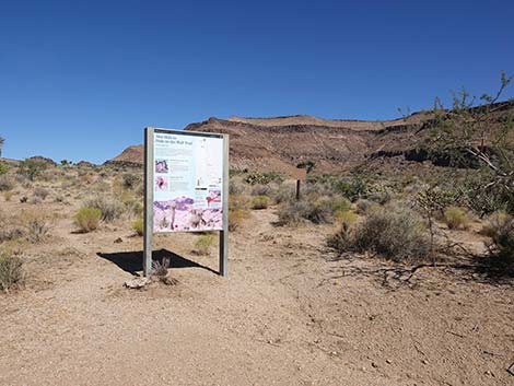 Wild Horse Trailhead signs (view N) |
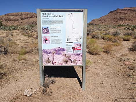 Wild Horse Trailhead information sign (view N) |
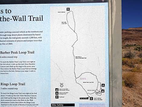 Trail map on Wild Horse Trailhead information sign (view N) |
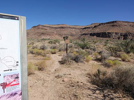 Wild Horse Trail begins right of the information sign (view NE) |
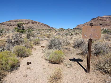 Symbol sign (view N) |
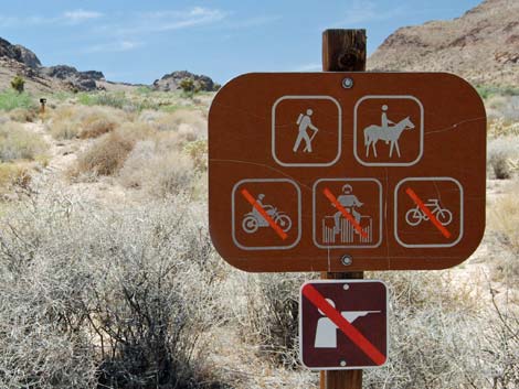 Before the symbol sign faded, it was easier to read (view N) |
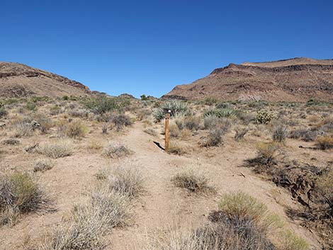 Box on a post several yards up the trail (view N) |
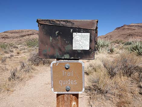 Box with trail brochures (view NW) |
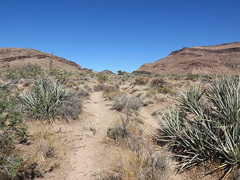 Trail runs parallel to erosion ditch (view NW) |
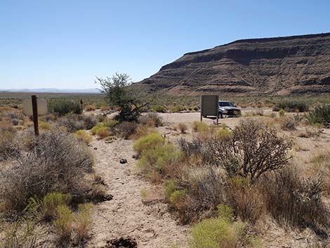 Returning to the Wild Horse Trailhead (view S) |
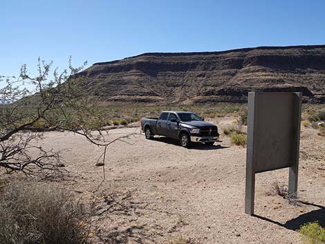 Returning to the Wild Horse Trailhead (view SW) |
Table 1. Highway Coordinates Based on GPS Data (NAD27; UTM Zone 11S). Download Highway GPS Waypoints (*.gpx) file.
| Site | Location | UTM Easting | UTM Northing | Latitude (N) | Longitude (W) | Elevation (ft) | Verified |
|---|---|---|---|---|---|---|---|
| 0502 | Hole-in-the-Wall Visitor Center | 646403 | 3878704 | 35.04221 | 115.39490 | 4,260 | Yes |
| 0836 | Black Cyn Rd at Hole-Wall Rd | 646860 | 3878671 | 35.04184 | 115.38989 | 4,213 | Yes |
| 1267 | Black Cyn Rd at Wild Horse Rd | 646945 | 3878305 | 35.03853 | 115.38903 | 4,153 | Yes |
| 1268 | Wild Horse Trailhead | 645313 | 3878094 | 35.03687 | 115.40695 | 4,216 | Yes |
Happy Hiking! All distances, elevations, and other facts are approximate.
![]() ; Last updated 241011
; Last updated 241011
| Hiking Around Mojave Preserve | Hiking Around Las Vegas | Glossary | Copyright, Conditions, Disclaimer | Home |