
Hiking Around Las Vegas, Mojave National Preserve

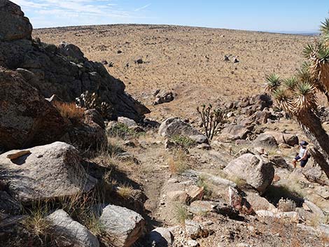
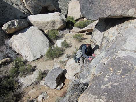 Hiker departing Overlook Lunch Spot (view down) |
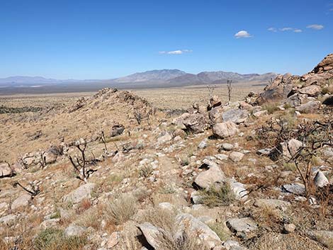
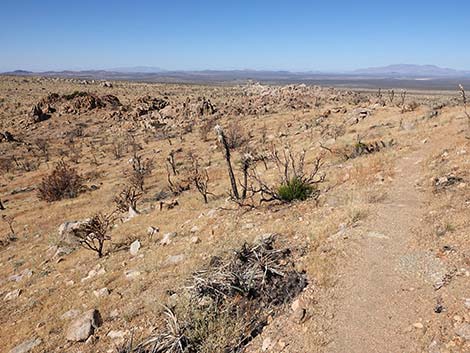
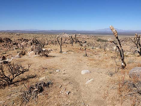
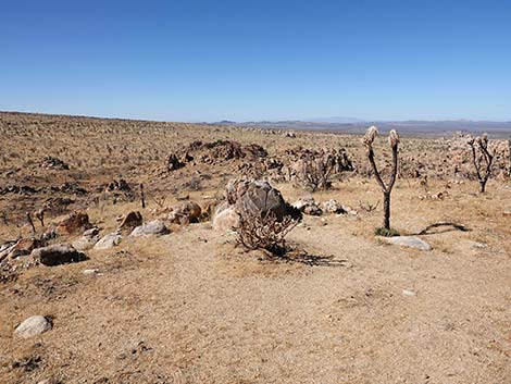
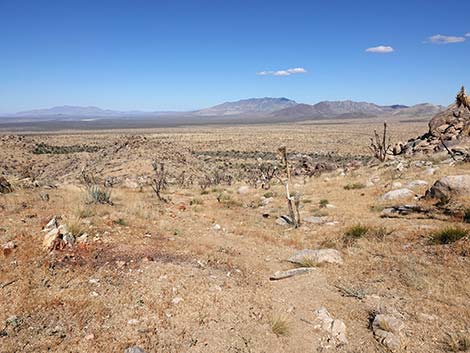
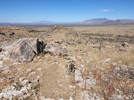
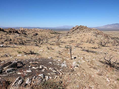
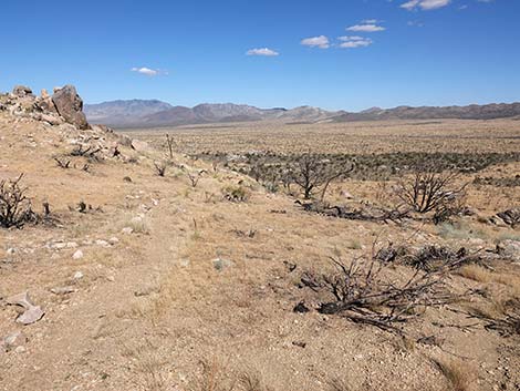
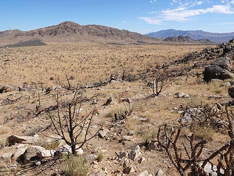
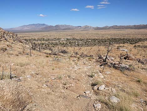
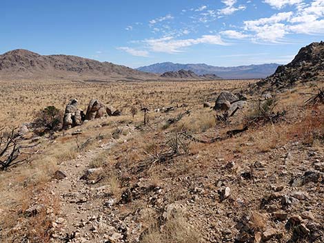
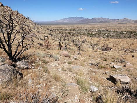
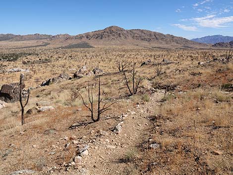
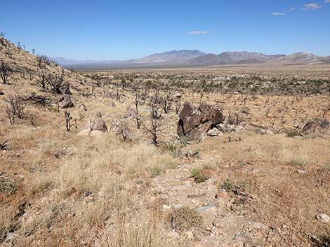
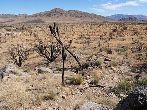
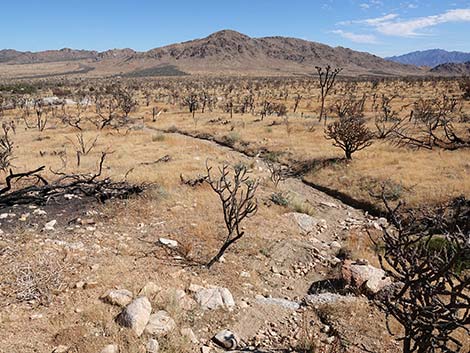
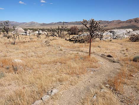
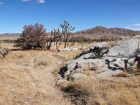
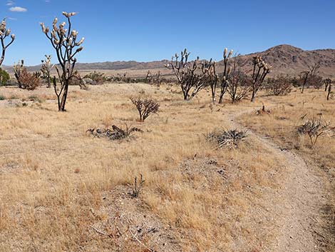
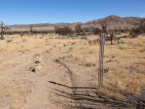
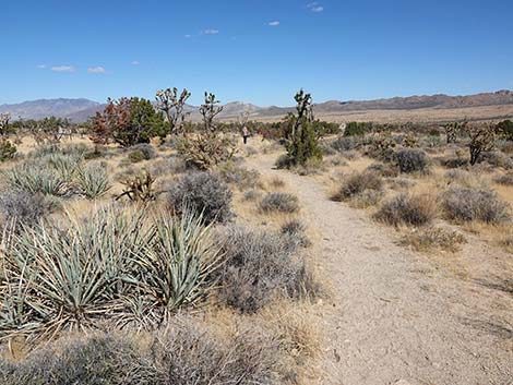
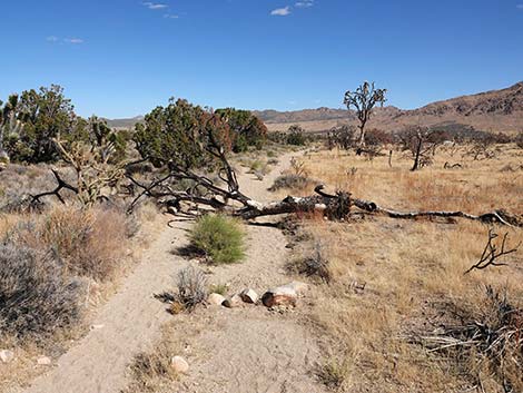
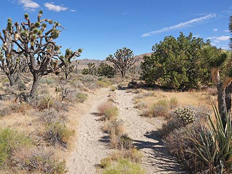
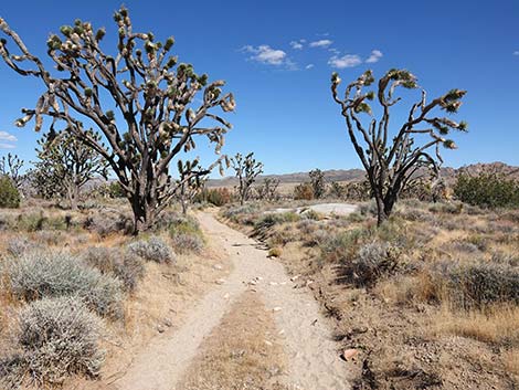
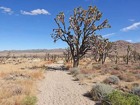
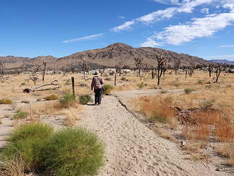
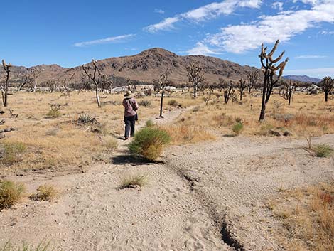
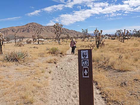
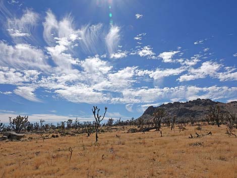
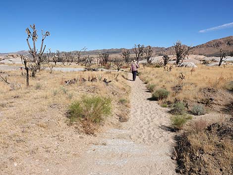
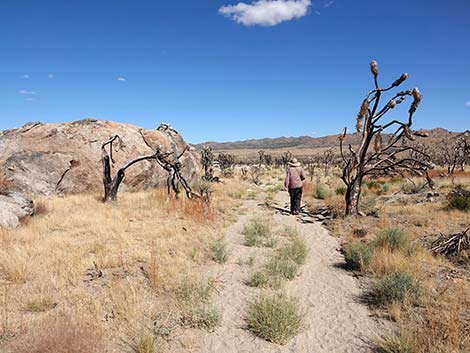
Overview This trail runs out for about 1.6 miles as it climbs about 700 feet from the Cima Road to Teutonia Peak, the rocky crags on the east side of Cima Dome. The trail runs out across the burned Eastern Joshua Tree forest on sandy trails to old mines at the base of the north ridge. The trail then steeply climbs the side of the rocky ridge, crosses over onto the other side of the ridge, and heads south to climb into a notch on the ridge between two huge summit blocks. In August 2020, the Dome Fire burned 43,273 acres in the Joshua Tree woodland of Cima Dome, including Teutonia Peak and this trail. Hike the trail, mourn the loss of plants and animals, and understand that because of climate change, this area will never come back, at least not as a desert woodland. Presented here are photos of the return because it always looks different on the way down. For a detailed description of the route, including directions, maps, GPS coordinates, and photos, see Teutonia Peak Trail. |
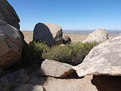 In the summit notch, departing the area (view NW) |
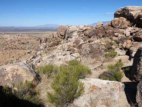 Starting back down the west side of the peak (view NW) |
 |
 |
 |
 |
 |
 |
 |
 |
 |
 |
 |
 |
 |
 |
 |
 |
 |
 |
 |
 |
 |
 |
 |
 |
 |
 |
 |
 |
 |
 |
 |
 |
 |
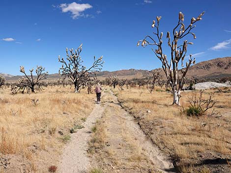 |
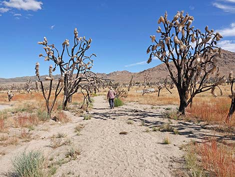 |
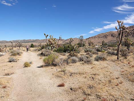 |
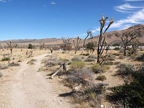 |
 |
 |
 |
Happy Hiking! All distances, elevations, and other facts are approximate.
![]() ; Last updated 240329
; Last updated 240329
| Hiking Around Mojave Preserve | Hiking Around Las Vegas | Glossary | Copyright, Conditions, Disclaimer | Home |