Note: this is not the safest trailhead alternative
Hiking Around Las Vegas, Lake Mead NRA

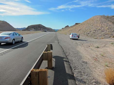
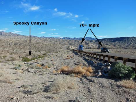
 Parking along 70+ mph highway (view N) |
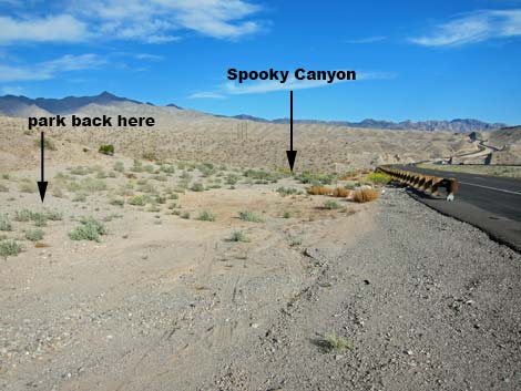
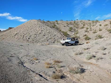
Note: An Arizona Highway Patrol Trooper says this is legal, but it is never safe to pull on or off a high-speed divided highway. This is not the safe parking alternative. For a safer alternative, park at the White Rock Canyon Trailhead and walk up to Spooky Canyon. Use caution - the traffic is moving at 70+ mph! The original Spooky Canyon Trailhead is located in Lake Mead National Recreation Area, but south of Hoover Dam along Highway 93 on the Arizona side of the Colorado River, about 45 minutes southeast of Las Vegas. From town, drive out to Lake Mead, over the bridge into Arizona to about Mile Marker 4. At the highway cross-over into the White Rock Canyon Trailhead (Table 1, Site 1038), make a U-turn and drive back north towards Hoover Dam. Drive north 0.42 miles. Just past the end of a long guardrail (Site 0828), turn right and pull well off the highway into a wide dirt area. Park up against the hillside; this is the original trailhead. Spooky Canyon Trailhead provides access to Spooky Canyon. Link to trailhead map. |
 |
 |
 |
 |
Table 1. Highway Coordinates Based on GPS Data (NAD27; UTM Zone 11S). Download Highway GPS Waypoints (*.gpx) file.
| Site | Location | UTM Easting | UTM Northing | Latitude (N) | Longitude (W) | Elevation (ft) | Verified |
|---|---|---|---|---|---|---|---|
| 1038 | White Rock Canyon Trailhead Parking | 707623 | 3984013 | 35.98028 | 114.69717 | 1,544 | Yes |
| 0828 | Hwy 93 at Spooky Cyn Trailhead | 706759 | 3984421 | 35.98414 | 114.70664 | 1,596 | Yes |
Happy Hiking! All distances, elevations, and other facts are approximate.
![]() ; Last updated 240328
; Last updated 240328
| Hiking Around Lake Mead | Hiking Around Las Vegas | Glossary | Copyright, Conditions, Disclaimer | Home |