
Hiking Around Las Vegas, Hiking Lake Mead NRA

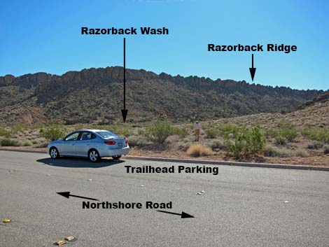 |
Overview Razorback Wash North is a great, mid-length hike that runs about 5.4 miles through the Pinto Valley Wilderness Area. The route follows washes along the north side of Razorback Ridge to Cottonwood Wash, then runs down Cottonwood Wash to complete the hike. The route starts at Mile 21.8 Trailhead and ends at Mile 18.2 Trailhead, so a car shuttle is necessary. The walking is easy, much of the wash is narrow and sinuous, and the surrounding scenery is grand, making this one of the best hikes along Northshore Road. Link to route map. |
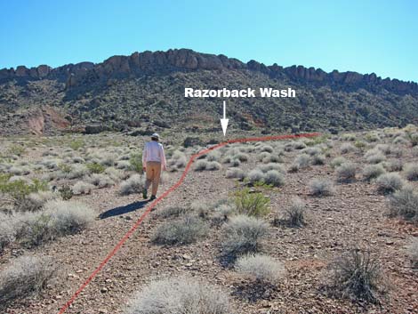 Hiker departing Mile 21.8 Trailhead (view SE) |
Watch Out Other than the standard warnings about hiking in the desert, ...this hike is fairly safe. There is nothing unusually dangerous about this route, but the region is remote, so be careful. While hiking, please respect the land and the other people out there, and try to Leave No Trace of your passage. This hike is in the Pinto Valley Wilderness Area, so pay particular attention to respecting the land. This hike runs off-trail where nobody will find you, so be sure to bring the 10 Essentials. Cell phones do not work. Getting to the Trailhead This hike is located in Lake Mead National Recreation Area, about 50 minutes east of Las Vegas along Northshore Road. From town, drive out to Lake Mead, then drive north on Northshore Road for 18.2 miles to the Mile 18.2 Trailhead. Leave a vehicle here, then continue 3.6 miles to Mile 21.8 Trailhead. Park here; this is the trailhead. |
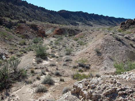 First view of Razorback Wash (view S) |
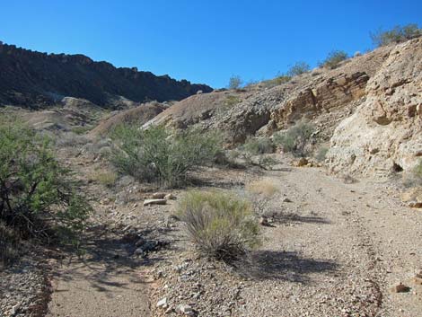
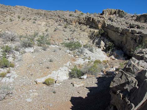
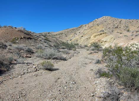
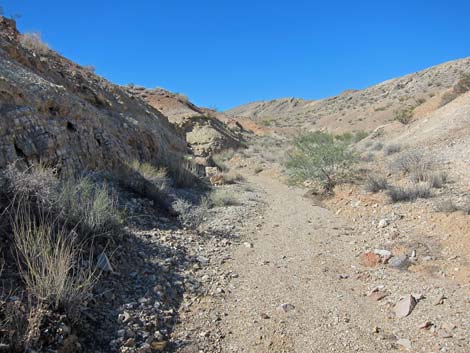
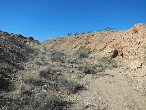
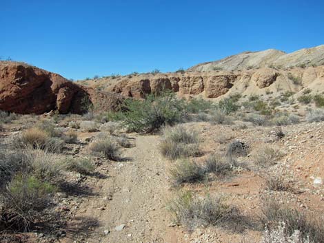
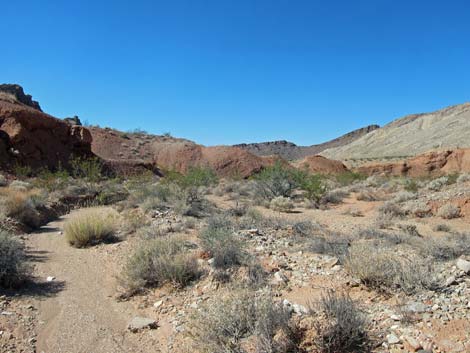
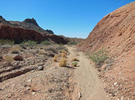
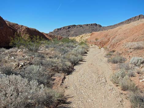
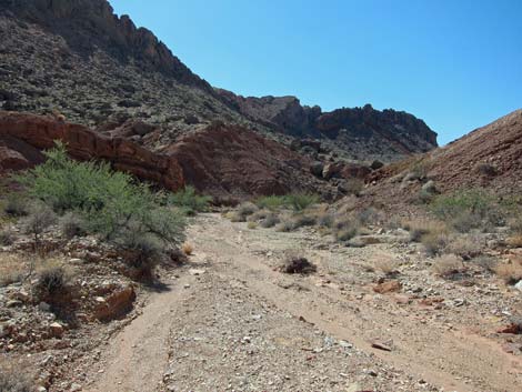
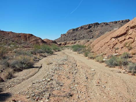
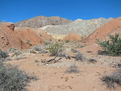
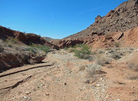
The Hike From the trailhead (Table 1, Waypoint 01), the route runs southeast across desert pavement towards Razorback Ridge. Before reaching the base of the ridge, the route reaches the edge of Razorback Wash (Wpt. 02). Pick a safe spot, then descend the low cliffs into the bottom of the wash (Wpt. 03). In the wash (Wpt. 03), the route turns south and then southwest heading upstream. The walking is easy, and the route is unambiguous (main wash always obvious) as the hike runs 1.70 miles to the head of the wash. At that point, an old road cuts up the hillside to a low saddle (Wpt. 04). This short bit of uphill, about 80 yards, is the most difficult section of the entire route (note sarcasm). |
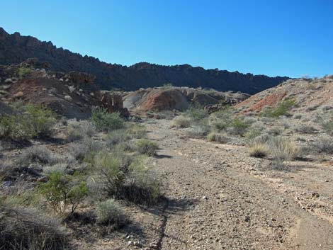 |
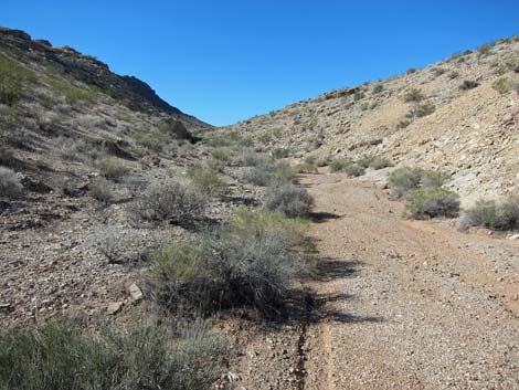
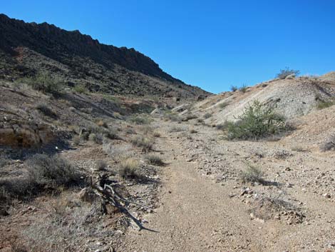
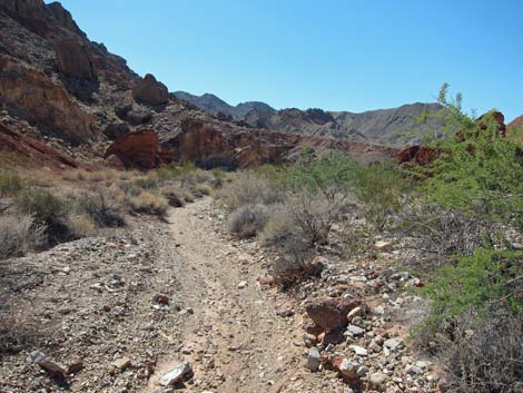
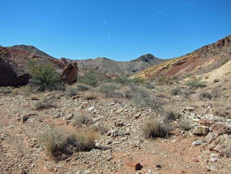
From the low saddle (Wpt. 04), the route runs downhill in washes all the way to the pavement. About 1/2 miles below the low saddle, there is a low spot on Razorback Ridge (to the left) that permits access to Razorback Wash South on the other side of the ridge. Continuing, the route runs down the wash to intersect Cottonwood Wash (Wpt. 05). Turning downstream, the route follows the wash past Cottonwood Spring and on to the highway. About the time the highway bridge comes into view, start looking for a use-trail up the northeast side of the wash. This use-trail provides the easiest and most direct access to the Mile 18.2 Trailhead. For details of the route in Cottonwood Wash, see the Cottonwood Spring webpage. |
 |
 |
 |
 |
 |
 |
 |
 |
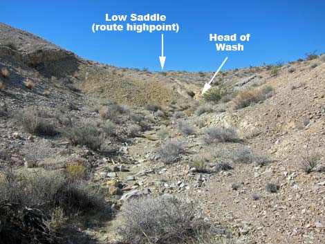 Approaching head of the wash and low saddle (view SW) |
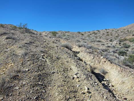 Old road onto low saddle (view SW) |
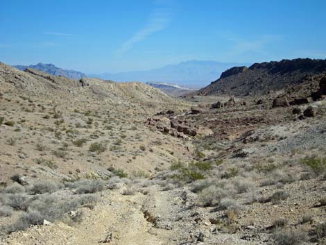 Low Saddle (view NE back down the route) |
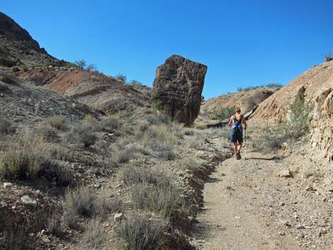
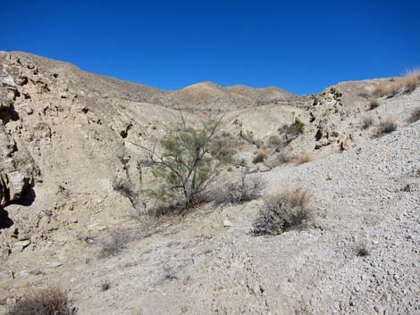 Grand scenery |
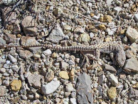 Friendly Leopard Lizard lady |
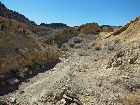 Route down the wash |
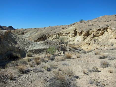 |
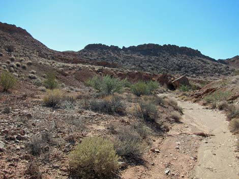 |
 |
 |
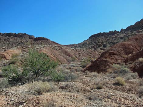 Colorful mudhills (view E) |
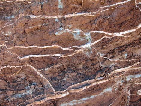 Gypsum veins in red mudstone hills |
 |
 |
 |
 |
 |
 |
 |
 |
 |
 |
 |
 |
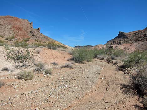 Razorback Wash (view upstream from Cottonwood Wash (view NE) |
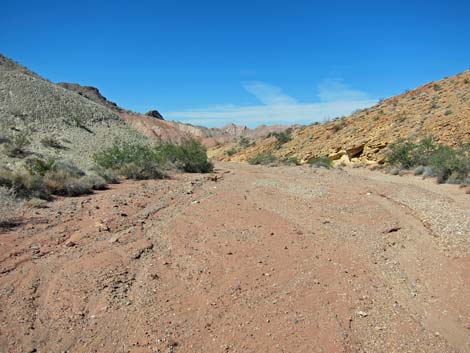 Cottonwood Wash (view NW from mouth of Razorback Wash) |
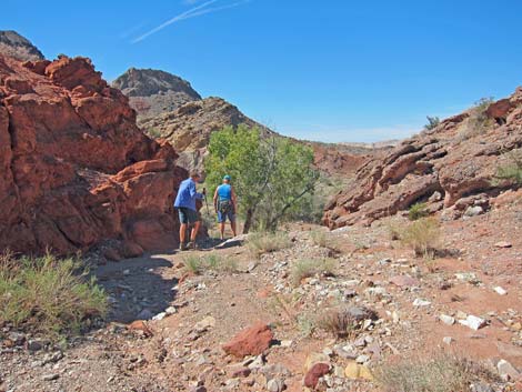 Hikers arriving at Cottonwood Spring (view NW) |
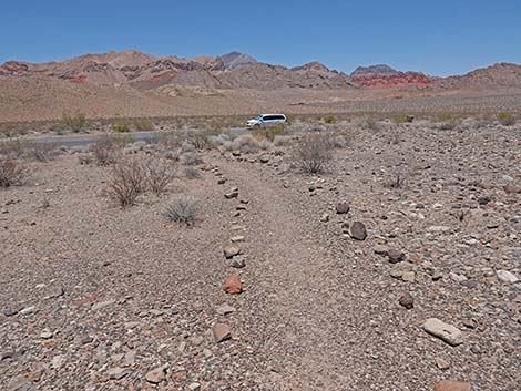 Arriving at Mile 18.2 Trailhead (view N) |
Table 2. Hiking Coordinates Based on GPS Data (NAD27; UTM Zone 11S). Download Hiking GPS Waypoints (*.gpx) file.
| Wpt. | Location | UTM Easting | UTM Northing | Elevation (ft) | Point-to-Point Distance (mi) | Cumulative Distance (mi) | Verified |
|---|---|---|---|---|---|---|---|
| 01 | Trailhead | 715835 | 4011768 | 2,201 | 0.00 | 0.00 | GPS |
| 02 | Drop into Wash | 715894 | 4011698 | 2,218 | 0.07 | 0.07 | GPS |
| 03 | Wash | 715941 | 4011699 | 2,194 | 0.04 | 0.10 | GPS |
| 04 | Highpoint | 714529 | 4010022 | 2,514 | 1.65 | 1.75 | GPS |
| 05 | Cottonwood Wash | 712435 | 4008324 | 2,183 | 2.13 | 3.88 | GPS |
| 06 | Trail-End | 710745 | 4009664 | 1,965 | 1.55 | 5.43 | GPS |
| Hiking Wilderness | Hiking Lake Mead | Hiking | Glossary | Copyright, Conditions, Disclaimer | Home |