
Hiking Around Las Vegas, Lake Mead National Recreation Area

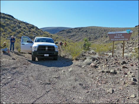 Lonesome Wash Overlook Trailhead Parking (view S) |
Overview This short route follows on old two-track road up a canyon 0.7 miles to an overlook with grand views south and east across the El Dorado Wilderness Area and down towards the Colorado River. This route is too short to be considered a destination hike, but it makes a nice chance to stretch one's legs while out 4-wheeling in this wild and lonesome country. Link to map. |
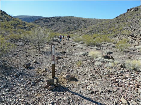 No vehicles sign (view SW) |
Watch Out Other than the standard warnings about hiking in the desert, ...this hike is entirely safe, but even so, it is remote, so be extra careful. Getting to the trailhead requires 10.2 miles in the dirt, the last of which is worse than the initial several miles, but should be passable in a 2WD-HC vehicle -- use good judgment in the washes without 4WD. While hiking, please respect the land and the other people out there, and try to Leave No Trace of your passage. Also, even though this hike is short, it goes into remote country, so be sure to bring what you need of the 10 Essentials. This hike goes into the El Dorado Wilderness Area, so pay extra attention to respecting the land. |
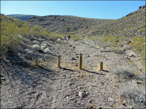 Vehicle barricades (view SW) |
Getting to the Trailhead This hike is located southeast of Las Vegas towards the town of Nelson and just outside Lake Mead National Recreation Area on the northwest side of the El Dorado Wilderness Area. From Las Vegas, drive south on Highway 95 towards Searchlight to Nelson Road (Highway 165) (Table 1, Site 0913), on the left. Drive east on Nelson Road for 3.6 miles a graded powerline road (Site 1507) on the left (between the 2nd and 3rd sets of high-tension powerlines). Turn left into the dirt and drive north 3.9 miles to a 4-way intersection (Site 1508). Turn right and drive 2.2 miles to a fork (Site 1510). Stay right and continue 0.6 miles to a fork (Site 1511). Stay right and continue 1.0 miles to a fork (Site 1512). Stay right and continue 2.4 miles to the trailhead parking (Site 1513), on the right, adjacent to a large El Dorado Wilderness Area sign. Park here; this is the trailhead. |
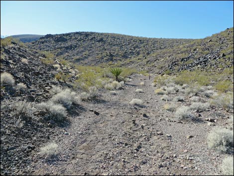 |
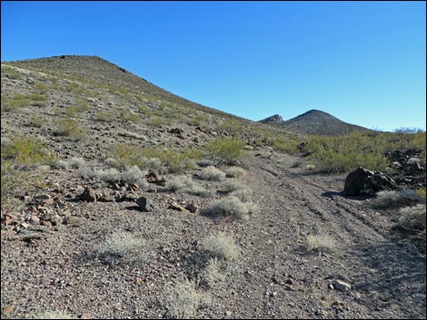
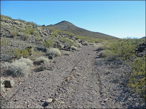
The Hike From the trailhead (Table 2, Waypoint 01), the route runs southwest up a side canyon, passing parking barricades and wilderness area signs. The route follows an old road, and there are no turnoffs, so it is easy to follow. At about 150 yards out, the canyon bends to the left (Wpt. 02) to run more directly south. The canyon winds about a bit, but generally runs south to a saddle where the old road ends at a turn-about (Wpt. 03). Hikers can stop here, but walking a bit over the edge makes for a somewhat better view and less wind, if that is a concern. Here, at nice sitting rocks on the hillside (Wpt. 04), the route ends with grand views down Lonesome Wash Canyon. When rested, return to the trailhead by following your footprints back to the trailhead (Wpt. 01). |
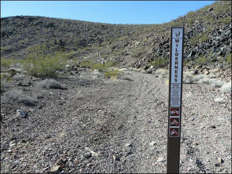 Entering El Dorado Wilderness Area (view SW) |
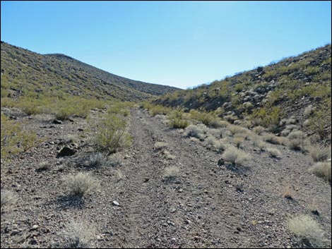 Old road in canyon (view S) |
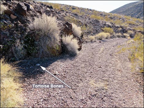 Tortoise bones on the edge of the road ... |
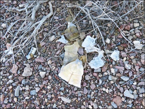 ... probably run over by an illegal off-road driver |
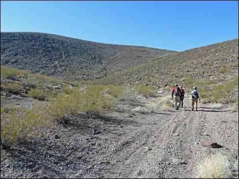 Hikers on the old road |
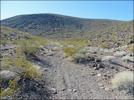 Sadly, bones of a larger tortoise on the right (view S) |
 |
 |
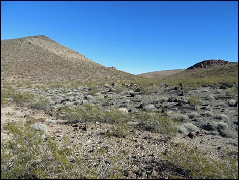 Hills and side canyons (view E) |
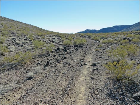 Approaching the highpoint (view S) |
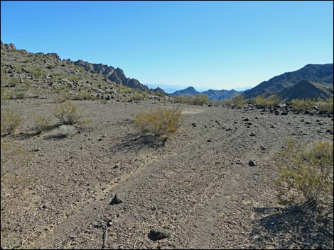 Turn-about at the end of the old road (view S) |
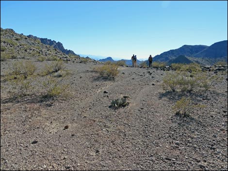 Hikers on the edge (view S) |
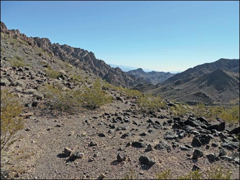 Lonesome Wash Canyon (view SE) |
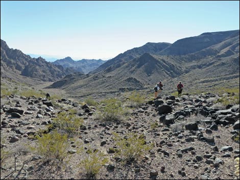 Hikers at Lonesome Wash Overlook (view SE) |
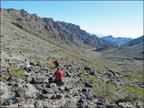 Eating lunch and enjoying the scenery (view SE) |
 More to come ... |
Returning to the trailhead
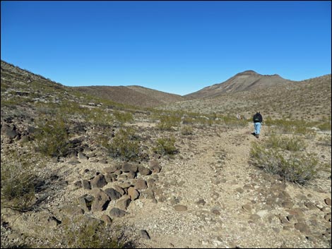 Hiker on trail (view N) |
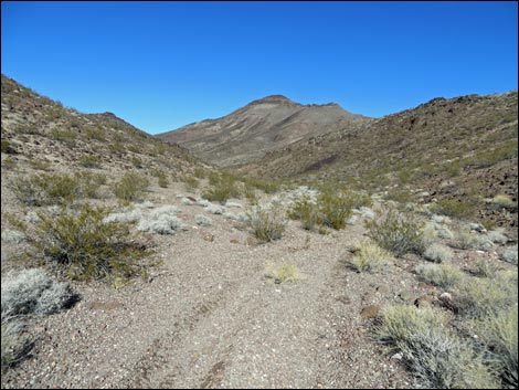 Looking north down the canyon |
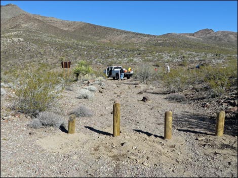 Returning to the trailhead (view N) |
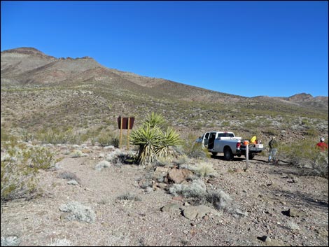 Trailhead (view N) |
Table 1. Highway Coordinates Based on GPS Data (NAD27; UTM Zone 11S). Download Highway GPS Waypoints (*.gpx) file.
| Site | Location | UTM Easting | UTM Northing | Latitude (N) | Longitude (W) | Elevation (ft) | Verified |
|---|---|---|---|---|---|---|---|
| 1507 | Nelson Road at Powerline Road | 691763 | 3964434 | 35.80712 | 114.87768 | 2,552 | Yes |
| 1508 | Powerline Rd at El Dorado N Rd | 694004 | 3970347 | 35.85995 | 114.85146 | 2,103 | Yes |
| 1509 | El Dorado N Rd at El Dorado W Rd | 696513 | 3968513 | 35.84293 | 114.82414 | 2,294 | Yes |
| 1510 | El Dorado N Rd at Fork | 696903 | 3968327 | 35.84118 | 114.81987 | 2,310 | Yes |
| 1511 | El Dorado N Rd at Mojave Overlook Rd | 697500 | 3967586 | 35.83438 | 114.81345 | 2,362 | Yes |
| 1512 | El Dorado N Rd at Forlorn Hope Spring Rd | 697878 | 3966051 | 35.82047 | 114.80964 | 2,461 | Yes |
| 1513 | Lonesome Wash Overlook Trailhead | 699086 | 3963004 | 35.79278 | 114.79704 | 2,662 | Yes |
| 1514 | El Dorado N Rd End | 699997 | 3962286 | 35.78612 | 114.78715 | 2,759 | Yes |
Table 2. Hiking Coordinates Based on GPS Data (NAD27; UTM Zone 11S). Download Hiking GPS Waypoints (*.gpx) file.
| Wpt. | Location | UTM Easting | UTM Northing | Elevation (ft) | Point-to-Point Distance (mi) | Cumulative Distance (mi) | Verified |
|---|---|---|---|---|---|---|---|
| 01 | Trailhead | 699078 | 3962999 | 2,662 | 0.00 | 0.00 | GPS |
| 02 | Bend in the Canyon | 698983 | 3962932 | 2,676 | 0.08 | 0.08 | GPS |
| 03 | End of Old Road | 698994 | 3962103 | 2,771 | 0.60 | 0.68 | GPS |
| 04 | Overlook | 698984 | 3962072 | 2,758 | 0.02 | 0.70 | GPS |
| 01 | Trailhead | 699078 | 3962999 | 2,662 | 0.70 | 1.40 | GPS |
Happy Hiking! All distances, elevations, and other facts are approximate.
![]() ; Last updated 240326
; Last updated 240326
| Hiking Around Lake Mead | Hiking Around Las Vegas | Glossary | Copyright, Conditions, Disclaimer | Home |