
Hiking Around Las Vegas, Gold Butte National Monument

 Trailhead (view SE towards East Ridge; Wpt. 03) |
Overview Summit Peak Loop is a nice 5-mile hike deep in the heart of Gold Butte National Monument. The hike starts from Devils Cove Road, but there is no parking area, no trail, no game-trails, and few landmarks. However, most of the area burned in 2005, which gives easy access to high open ridges with grand 360-degree views that include Virgin Peak to the north, the Grand Canyon to the east, high peaks in Arizona to the south, and the Sheep Range far to the west (but most of the view west is blocked by the Mica Peak complex). The route starts up untrammeled hillsides to gain a high ridge that is followed south. This ridge joins another, providing access to Summit Peak to the east. Descending the North Ridge of Summit Peak, the route traverses some steep, rocky country before returning to gently sloping ridges. Dropping into the canyon between the two main ridges, the route climbs over the toe of the west ridge and returns to the road. A 0.6-mile slog on the road returns hikers to the trailhead. Link to hiking map. |
 Pineapple cactus atop first little hillside |
Watch Out Other than the standard warnings about hiking in the desert, ... this area is fairly safe, but watch for loose rocks on the summit and when beginning the descent down the North Ridge of Summit Peak. Always be extra careful when high enough to fall and get hurt -- help is a long way away. This is wild and remote country without services of any kind (no restrooms, no water, no gas, no food). Bring what you need to survive. Be prepared and be self-reliant. It is a big place, but someone will eventually find you if you stay on a main road, but be prepared to survive alone for a day or two, or even longer on side roads. Cell phones don't work here. While hiking, please respect the land and the other people out there, and try to Leave No Trace of your passage. Also, this is a very remote hike, so be sure to bring the 10 Essentials. |
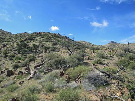 Open, fairly easy terrain (view SE) Open, fairly easy terrain (view SE) |
Getting to the Trailhead Summit Peak is located out in Gold Butte National Monument at the northeast end of Lake Mead, about 3 hours northeast of Las Vegas in a wild, remote, and scenic area. From town, drive out to Gold Butte National Monument. From Whitney Pocket, continue south on the unpaved Gold Butte Road for 16.5 miles to a fork. Stay left onto Devils Cove Road and continue south then east 2.8 miles to the trailhead. There is no off-road parking. Park on the shoulder of the road; this is the trailhead. |
 Route follows open ridgeline (view SW) |
The Hike This is a good hike to practice your topo map reading, compass use, and GPS skills. From the trailhead (Table 1, Waypoint 01), which is just a wide spot on Devils Cove Road, the route runs southeast across a wash and up the first little hillside (Wpt. 02). For hikers who successfully find Waypoint 02, the rest of the route to the summit is easy. If unsure, hikers should take a minute and make sure they are on the correct little ridge. Following the ridge, the route continues uphill to gain the high ridge (Wpt. 03) just south of a little knob. From that point on, there are no confusing side-ridges or anything else to confuse the route to the peak, which is now visible for the first time. |
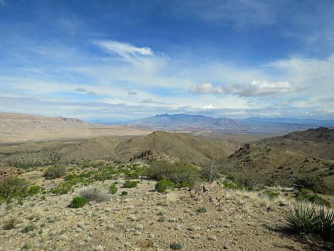 High on the side ridge (view N towards Virgin Peak) |
Continuing, the route follows the high ridge south to Peak 1531 (1,531 m = 5,023 ft), then continues south, still following the ridgeline. About 0.5-miles past Peak 1531, the ridgeline turns up to the next peaklet (Wpt. 05). Here it is useful to traverse the hillside and avoid the unnecessary elevation gain and loss. Past the unnamed peaklet, the route regains the high ridgeline (Wpt. 06), but now heading east. The route crosses a saddle and bends northeast, finally climbing towards Summit Peak. Summit Peak (Wpt. 07) is a fractured granite knob with loose boulders, and hikers with tired legs will do well to take it carefully. The summit isn't the most comfortable site for lunch, but the views in all directions are worth the effort. When ready, the route continues northward following the North Ridge of Summit Peak. The first few hundred yards are the most difficult on the route, but at least they are trending downhill. The easier route traverses the west side of the ridge below Peak 1501. |
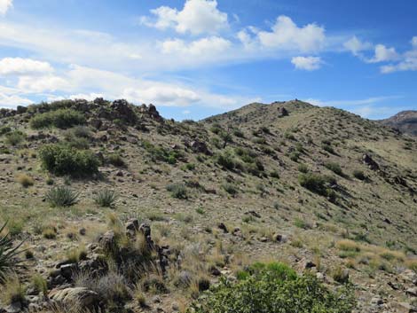 Atop high ridge, Summit Peak still out of view (view S) |
At about 0.7 miles north of the summit, the ridge forks (Wpt. 08), and here the route diverts to the left ridge. Descending somewhat steeply and angling northwest, the ridge flattens a bit, and it becomes convenient (Wpt. 09) to drop off the ridge before it starts rising again. The route drops steeply into the wash (Wpt. 10) and turns to follow the canyon down. Heading down the canyon, hikers will see ahead that the canyon bends to the right, and at the bend (Wpt. 11), a bit of a gully leads to a saddle (Wpt. 12) on the ridge to the left. The route climbs to the saddle (Wpt. 12), then traverses the sideslope left to the next little ridge (Wpt. 13), which is followed to Devils Cove Road (Wpt. 14). From there, hikers follow the road back to the trailhead (Wpt. 01). |
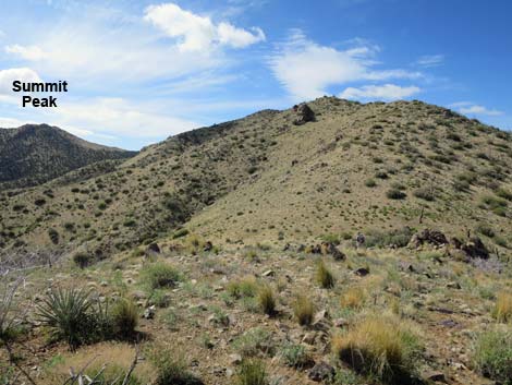 High ridge, Summit Peak comes into view (view S) |
 Utah Firecracker Penstemon in bloom |
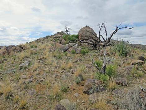 Approaching Peak 1531 (view S) |
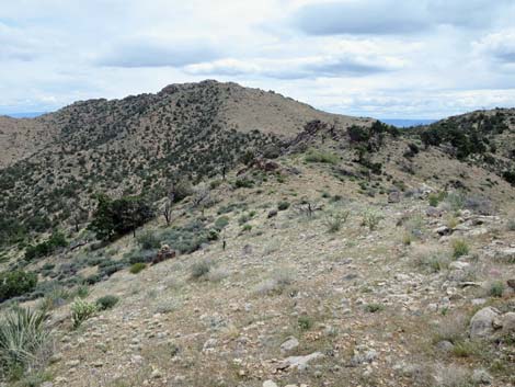 Beyond Peak 1531, open ridgeline (view SE towards Summit Peak) |
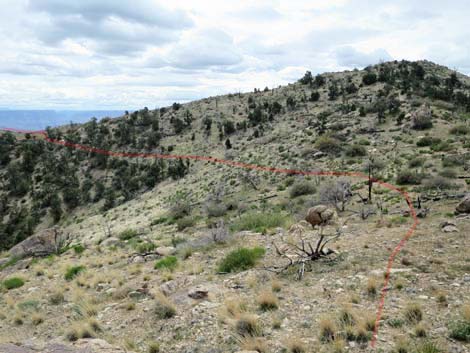 Unnamed highpoint can be avoided (view SE) |
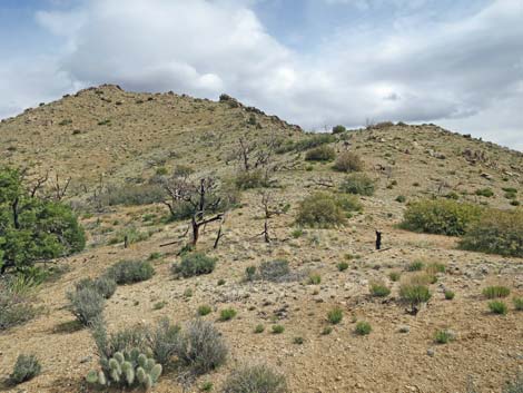 Back on the ridgeline (view E towards Summit Peak) |
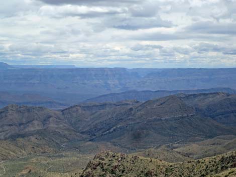 Ridgeline (view SE into the Grand Canyon) |
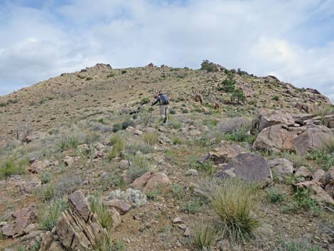 Hiker on South Ridge of Summit Peak (view NE) |
 Hiker on rocky South Ridge of Summit Peak (view NE) |
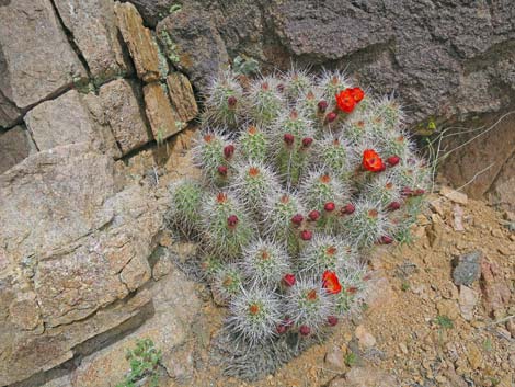 Blooming Mojave Kingcup Cactus near Summit Peak |
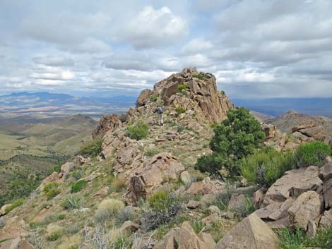 Approaching Summit Peak (view NE) |
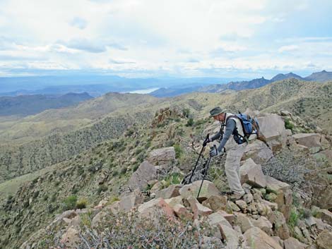 Hiker arriving on Summit Peak (view SW) |
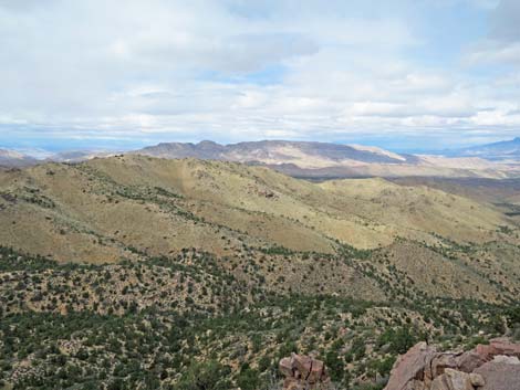 Summit Peak (view NW towards Tramp Ridge) |
 Summit Peak (view W towards Mica Peak) |
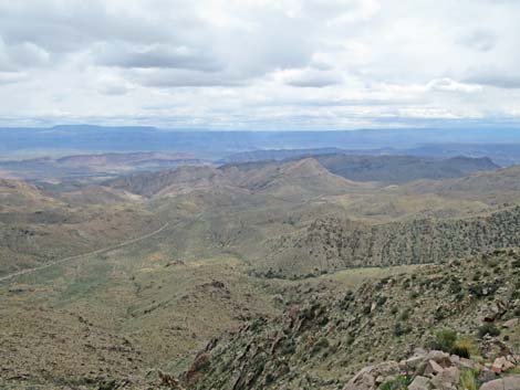 Summit Peak (view SE towards Grand Canyon) Summit Peak (view SE towards Grand Canyon) |
 Summit Peak (view SE towards Grand Canyon, zoom) |
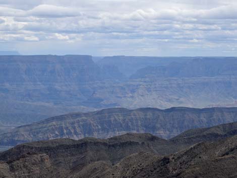 Summit Peak (view SE towards Grand Canyon, zoom) |
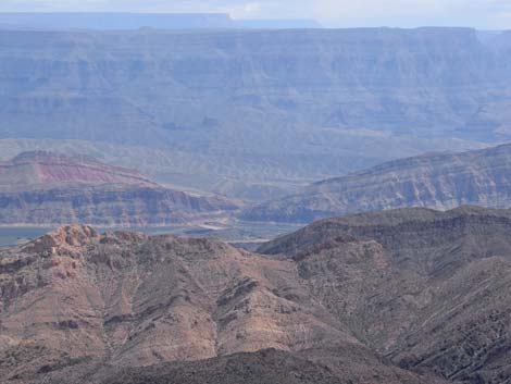 Summit Peak (view SE towards Colorado River, zoom) |
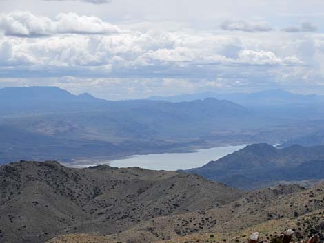 Summit Peak (view S towards Lake Mead, zoom) |
 Summit Peak (view SW towards Arizona and Jumbo Peak, zoom) |
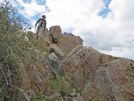 Hiker descending off summit blocks (view S) |
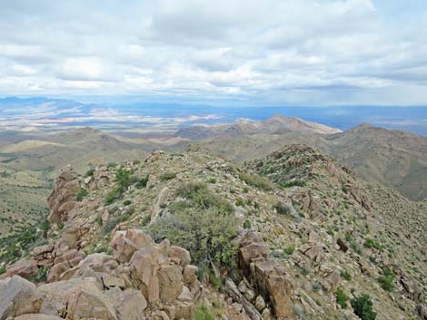 Summit Peak (view NE along North Ridge; east side) |
 Summit Peak (view NE along North Ridge; west side) |
 Summit Peak (view NE along North Ridge; steep east side) |
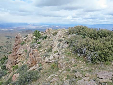 North Ridge (view NE) |
 North Ridge (view NE towards rocky crags) |
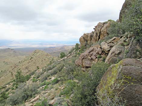 North Ridge; passing rocky crags on west side (view NE) |
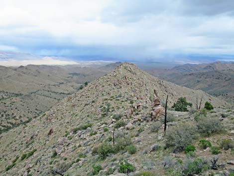 North Ridge; beyond rocky crags (view NE) |
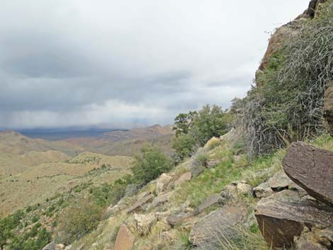 North Ridge; passing another rocky crag on west side (view NE) |
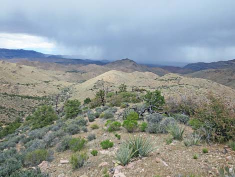 North Ridge; back on easy terrain (view NE) |
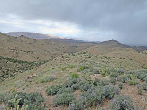 Following down the left ridge (view N) |
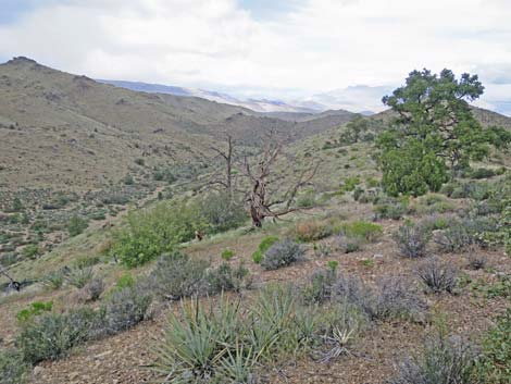 Approaching the point to drop into the canyon bottom (view N) |
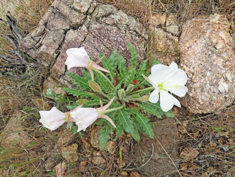 Tufted Evening Primrose blooming on rocky hillside |
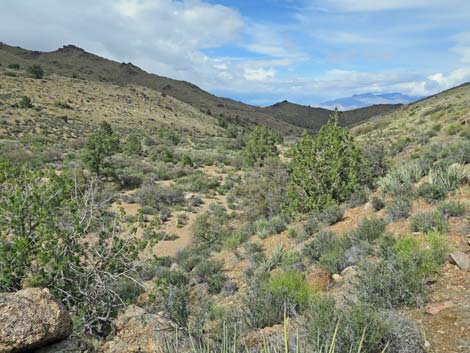 Approaching the bottom of the canyon (view N) |
 Hiker in the bottom of the canyon (view N) |
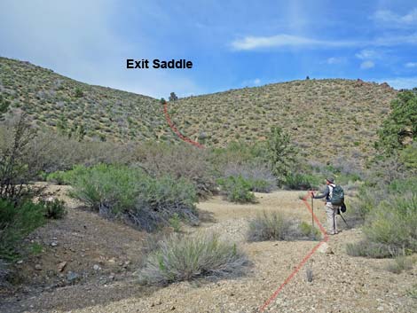 Hiker in wash approaching exit gully (view NW) |
 Hiker climbing exit gully (view NW) |
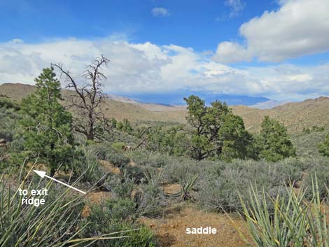 Final saddle, stay left onto ridgeline (view N) |
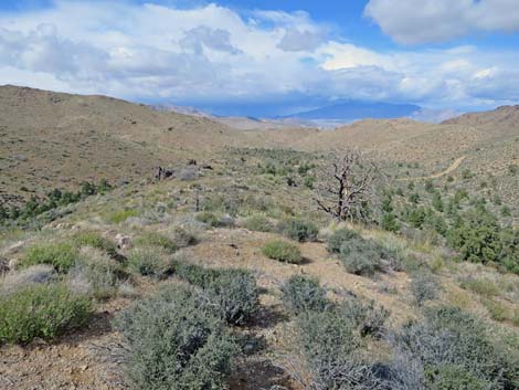 Exit ridge; Devils Cove Road in the distance (view N) |
 High winds toppled this dead tree today (view N) |
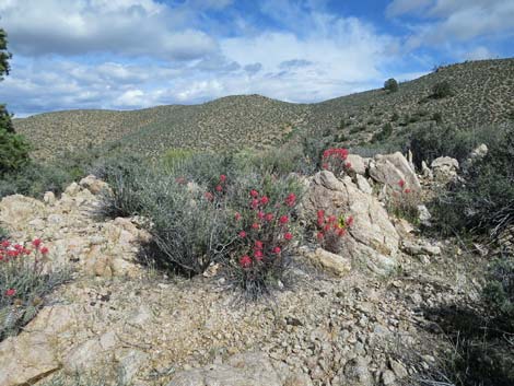 Desert Paintbrush |
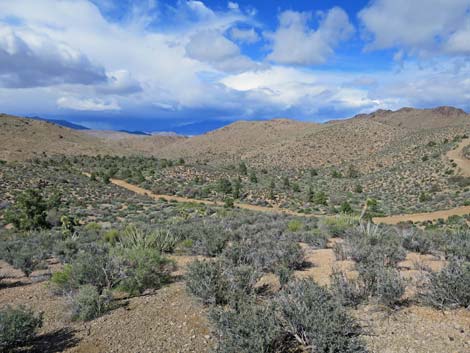 Descending towards Devils Cove Road (view N) |
Table 1. Hiking Coordinates and Distances based on GPS Data (NAD27; UTM Zone 11S). Download Hiking GPS waypoints (gpx) file.
| Wpt. | Location | UTM Easting | UTM Northing | Elevation (ft) | Point-to-Point Distance (mi) | Cumulative Distance (mi) |
|---|---|---|---|---|---|---|
| 01 | Trailhead | 757662 | 4019488 | 4,000 | 0.00 | 0.00 |
| 02 | Toe of Ridge | 757701 | 4019401 | 4,024 | 0.07 | 0.07 |
| 03 | High Ridge | 757880 | 4018620 | 4,587 | 0.61 | 0.68 |
| 04 | Peak 1531 | 757679 | 4017645 | 4,925 | 0.74 | 1.42 |
| 05 | Depart Ridgeline | 757905 | 4017028 | 4,815 | 0.48 | 1.90 |
| 06 | Regain Ridgeline | 758107 | 4016933 | 4,776 | 0.16 | 2.06 |
| 07 | Summit Peak (Peak 1561) | 758415 | 4017134 | 5,000 | 0.31 | 2.37 |
| 08 | Divert to West Ridge | 758772 | 4017873 | 4,527 | 0.66 | 3.03 |
| 09 | Depart Ridgeline | 758655 | 4018283 | 4,195 | 0.29 | 3.32 |
| 10 | Arrive at Wash Bottom | 758559 | 4018304 | 4,060 | 0.08 | 3.40 |
| 11 | Depart Wash Bottom | 758550 | 4018922 | 3,914 | 0.41 | 3.81 |
| 12 | Low Saddle | 758503 | 4019076 | 4,021 | 0.12 | 3.93 |
| 13 | Descent Ridge | 758443 | 4019146 | 4,025 | 0.06 | 3.99 |
| 14 | Devils Cove Road | 758440 | 4019505 | 3,844 | 0.25 | 4.24 |
| 01 | Trailhead | 757662 | 4019488 | 4,000 | 0.58 | 4.82 |
Happy Hiking! All distances, elevations, and other facts are approximate.
![]() ; Last updated 240326
; Last updated 240326
| Hiking Around Gold Butte | Hiking Around Las Vegas | Glossary | Copyright, Conditions, Disclaimer | Home |