
Backroads Around Las Vegas, Gold Butte
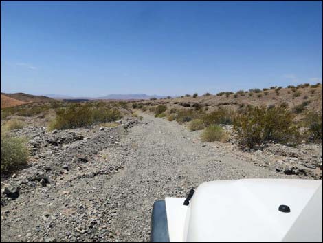
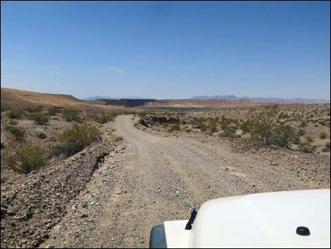
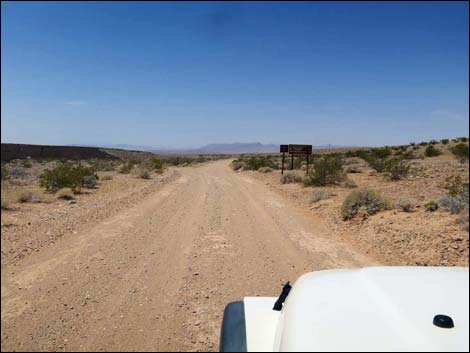 Fisherman Cove Road, approaching fork in the road (view SW) |
Overview Virgin River Landing Road (Road 112) is a 3.8-mile graded road that runs east-west between Fisherman Cove Road (Road 113) and the Virgin River. The road is entirely on public land, beginning on lands managed by the BLM and ending on lands managed by Lake Mead National Recreation Area. The road is maintained, but there is one steep, rocky hill that is barely 2WD in a jeep. I drove it in 2WD to prove that I could, but I'd use 4WD next time to keep the wheels from spinning. The very end of the road goes out into deep blow sand, and 4WD is required in that area, but drivers need not go that far. This road provides access to the Virgin River and the Gentry Ranch hike, but otherwise it is an in-and-out road. Link to road map. |
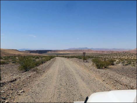
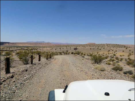
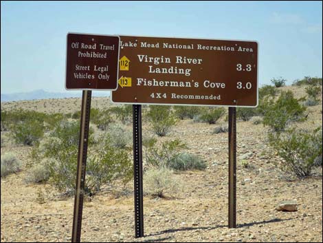 Signs announcing the fork (view W) |
Watch Out Other than the standard warnings about hiking in the desert, ... this road is fairly safe, but it runs into a wild and remote area without services of any kind (no restrooms, no water, no gas, no food). Bring what you need to survive. Be prepared and be self-reliant. Someone will find you eventually if you stay on main roads, but be prepared to survive alone for a day or more on side roads. Cell phones should work along most of the road. There is one steep, rocky hill that is barely 2WD in a jeep, and the end of the road goes out into deep blow sand where 4WD is required. While out, please respect the land and the other people out there, and try to Leave No Trace of your passage. Also, this is a remote area, so be sure to bring the 10 Essentials. |
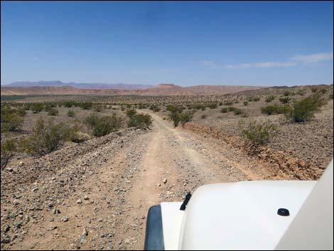
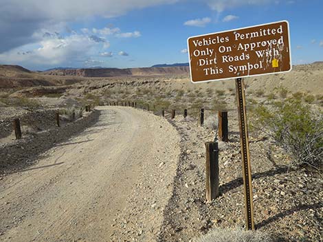
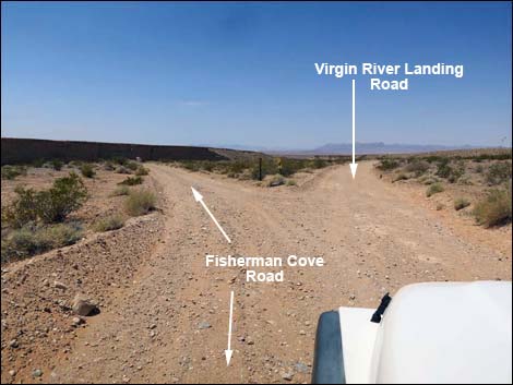 Road forks, Virgin River Landing Road bends right (view SW) |
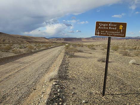
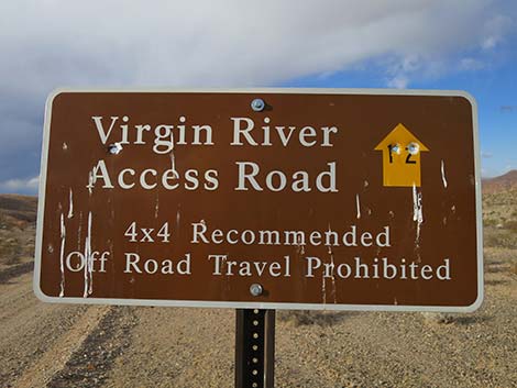
Getting to the Roadhead Virgin River Landing Road is located out in Gold Butte northeast of Lake Mead, about 1-3/4 hours from of Las Vegas. From Las Vegas, drive out to Gold Butte. From Highway 170 at Gold Butte Road, drive south on Gold Butte Road for 14.3 miles to a signed intersection with Fisherman Cove Road. Turn right and drive southwest 7.1 miles on Fisherman Cove Road to a signed fork in the road. At the fork, Fisherman Cove Road stays left while Virgin River Landing Road bends right. |
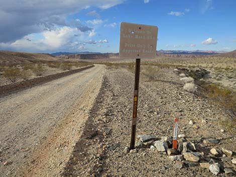
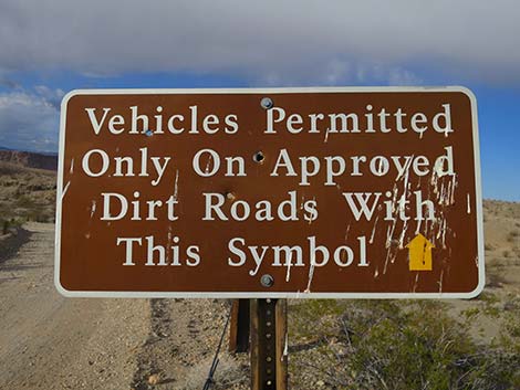
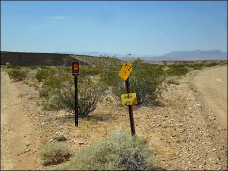 Road signs at the fork (view W) |
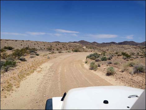
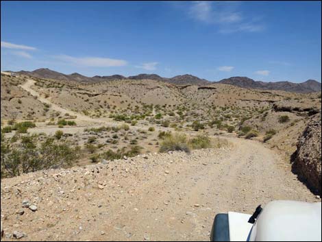
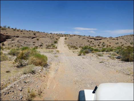
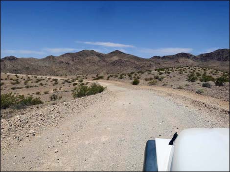
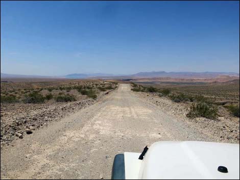
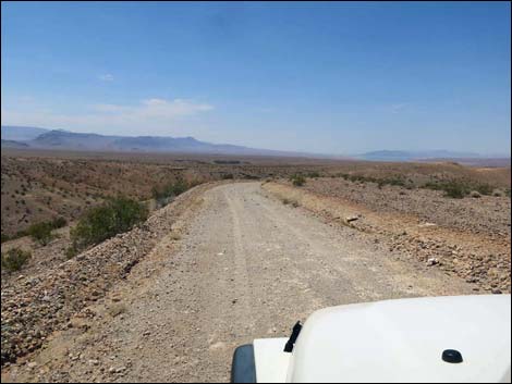
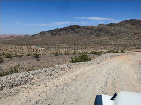
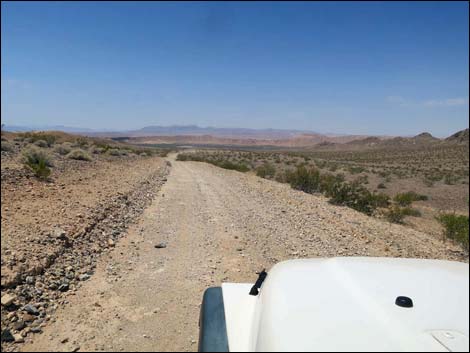
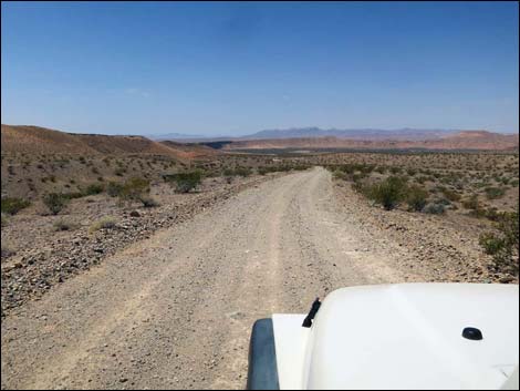
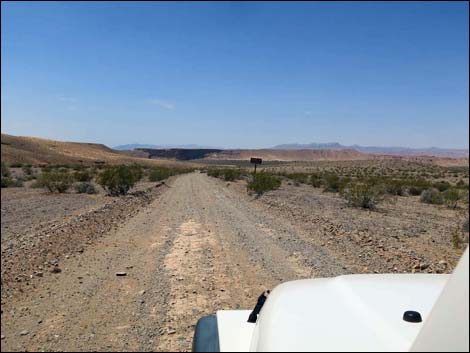
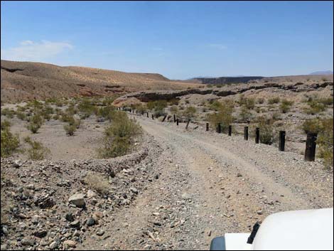
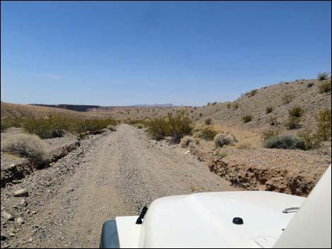
The Road From the fork with Fisherman Cove Road (Table 1, Site 1654), Virgin River Landing Road forks off to the right and runs west towards the Virgin River. Shortly, the road bends hard to the right to run northwest as it drops to cross a broad gravel wash. Climbing out the other side, the road climbs a steep hillside where the road is narrow and covered with rocks and gravel. With the loose rocks, this section is barely passable in a 2WD-HC vehicle, and next time I'll use 4WD. After the steep part, the road climbs towards the top of the ridge, then bends left and starts a long descent towards the Virgin River. Initially, the roadway provides grand views west towards the Virgin River Valley, Valley of Fire, and the Muddy Mountains in the distance. As the road descends, however, the views get more and more hemmed in by the surrounding hillsides. |
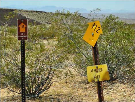 Road signs at the fork (view W) |
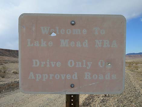
After about 2.7 miles, signs announce that the road is entering Lake Mead National Recreation Area, and in that area, the road drops into the canyons. The road is graded, but some parts are flash flooded with loose gravel lying on the road. The canyon eventually opens onto the sand and gravel flood plain of the Virgin River and immediately forks (Site 1655). Without 4WD, this is a good place to stop because both forks run down through loose gravel and deep blow sand. Staying left, the road runs down to a post and cable fence that directs drivers right and around to a turn-about loop. The river lies in the distance, through a thicket of saltcedar trees, some 0.28 miles away in 2016. The river meanders on the flood plain, so it might be closer in the future. |
 |
Staying right, the road runs down along another post and cable fence. The road loops left, and when the fence disappears into a deep thicket of saltcedar, a cable gate marks the trailhead for the hike to the Gentry Ranch site. From there, hikers can follow the old road northwest and eventually approach the river near the toe of Black Ridge. Continuing, the road loops back left through an area of deep blow sand to head back towards the original fork (Site 1655). For the return to Fisherman Cove Road, see Virgin River Landing Road - Eastbound. |
 |
 |
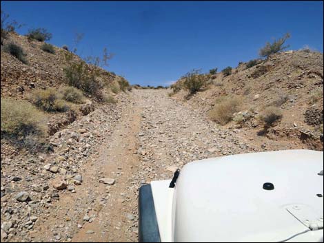 Tires spin in 2WD on this steep hill with lots of gravel (view NW) |
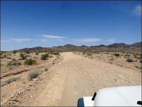 Beyond the steep hill, the road is easy again (view NW) |
 |
 |
 |
 |
 |
 |
 |
 |
 |
 |
 |
 |
 |
 |
 |
 |
 |
 |
 |
 |
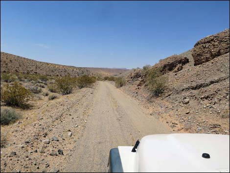 Winding down a canyon (view SW) |
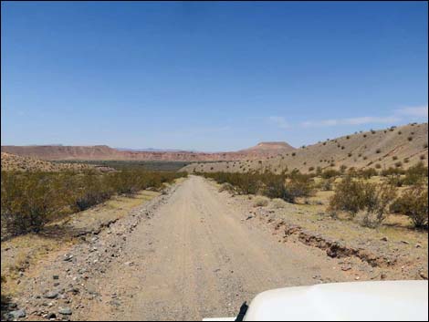 Approaching the flood plain (view SW) |
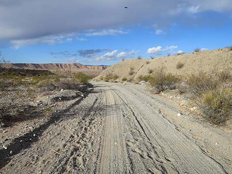 Approaching mouth of the canyon (view SW) |
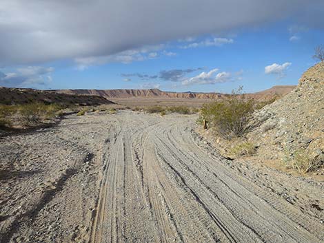 Entering the flood plain and fork in the road (view SW) |
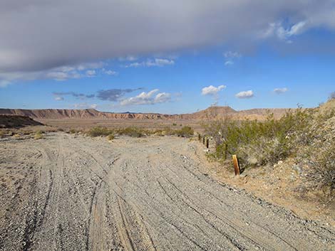 One fork stays right along post-and-cable fence (view W) |
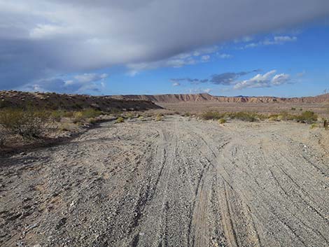 Other fork stays left straight towards the river (view SW) |
Staying Right into the Sandy Lakebed Area
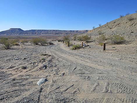 At the fork, road to the right (view W from main road) |
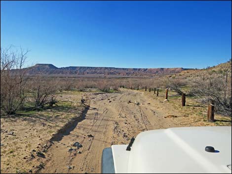 Following the post-and-cable fence (view W) |
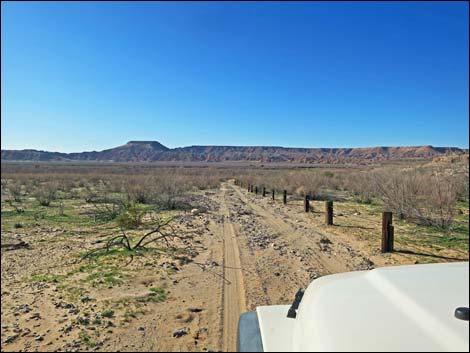 |
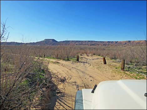 |
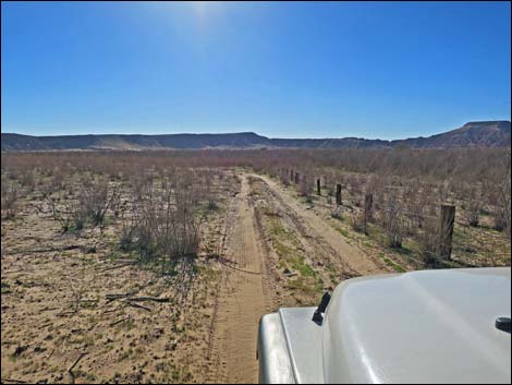 Following the post-and-cable fence (view SW) |
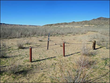 Closed road, which is the trail to Gentry Ranch Site (view NW) |
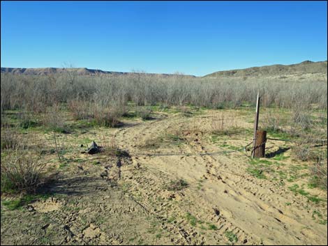 Gate (damaged) on closed road (view NW) |
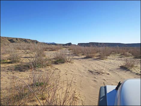 Blow sand on open road (view S) |
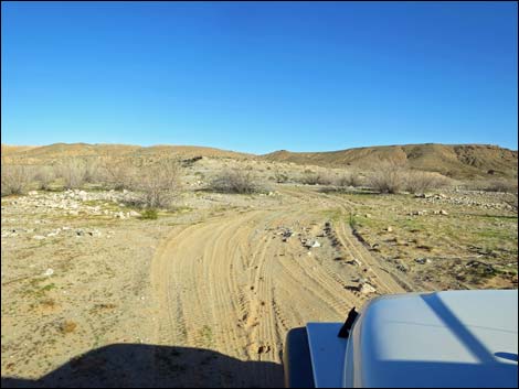 Beyond the blow sand (view SE) |
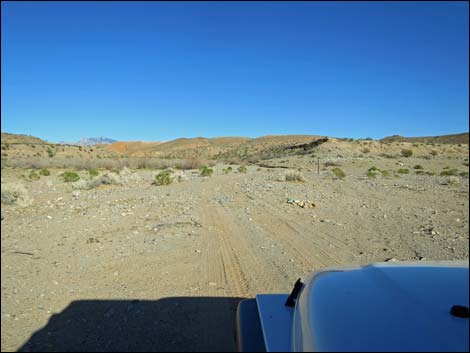 Heading back towards the fork in the road (view NE) |
Staying Left into the Sandy Lakebed Area
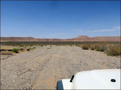 At the fork, road to the left (view SW) |
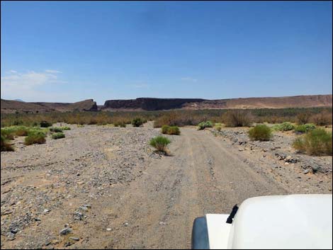 Road runs towards the Virgin River (view SW) |
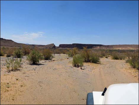 Road bends left following post-and-cable fence (view SW) |
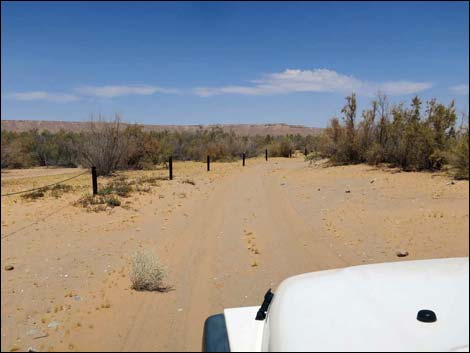 Road runs along post-and-cable fence (view NW) |
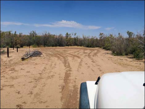 Road runs at turn-around loop with post-and-cable fence (view N) |
 More to come ... |
Table 1. Highway Coordinates Based on GPS Data (NAD27; UTM Zone 11S). Download Highway GPS Waypoints (*.gpx) file.
| Wpt. | Location | UTM Easting | UTM Northing | Elevation (ft) | Point-to-Point Distance (mi) | Cumulative Distance (mi) | Verified |
|---|---|---|---|---|---|---|---|
| 1654 | Fisherman Cove Rd at Virgin River Landing Rd | 743014 | 4044648 | 1,621 | 0.00 | 0.00 | GPS |
| 1655 | Virgin River Landing Rd forks (end) | 739421 | 4043155 | 1,197 | 3.77 | 3.77 | GPS |
Happy Hiking! All distances, elevations, and other facts are approximate.
![]() ; Last updated 240326
; Last updated 240326
| Backroads Around Las Vegas | Hiking Around Las Vegas | Glossary | Copyright, Conditions, Disclaimer | Home |