
Backroads Around Las Vegas, Gold Butte National Monument

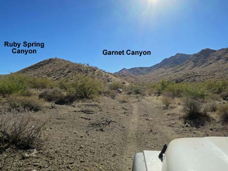 Approaching Ruby Spring Canyon (view S) |
Overview Ruby Spring Road is located out at the far southwest end of Gold Butte National Monument, a side road off Scanlon Road. Little used, this pleasant two-track road forks off from Garnet Valley Road and runs 0.5 miles to end just below Ruby Spring, which stopped flowing years ago. Ruby Spring Road is passable in a 2WD-HC vehicle, but it is safer in a short-wheel-base 4WD vehicle because Garnet Valley Road turns tightly, dips across Garnet Valley Wash several times, and parts are a bit sandy. Ruby Spring Road provides access to the dry spring, plus a nice hike in the canyon above. Link to Ruby Spring Road Map. |
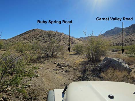 Obscure fork in the road (view S) |
Watch Out Other than the standard warnings about driving in the desert, ... this is a fairly safe road without unusual hazards, but vehicles will receive a good dose of desert pin-striping getting there. Near the spring, the brush is thick, so keep an eye out for snakes resting in the shade. This is wild and remote country without services of any kind (no restrooms, no water, no gas, no food). Bring what you need to survive. Be prepared and be self-reliant. It is a big place, but someone will eventually find you if you stay on a main road, but be prepared to survive alone for a day or two, or even longer on side roads. Cell phones don't work here. Consider signaling the tourist helicopters that traverse the area coming and going from the Grand Canyon. While out, please respect the land and the other people out there, and try to Leave No Trace of your passage. Also, this is a remote area, so be sure to bring the 10 Essentials. |
 Ruby Spring Road (view SE from Garnet Valley Road) |
Getting to Ruby Spring Road Ruby Spring Road is located out in Gold Butte National Monument at the northeast end of Lake Mead, about 5 hours northeast of Las Vegas. From Las Vegas, drive out to Gold Butte and then south on Gold Butte Road 21 miles to Whitney Pocket at the end of the pavement. Continue south on the unpaved Gold Butte Road 20 miles to Gold Butte Townsite. From the townsite, the main road continues southwest as Scanlon Road. Drive south on Scanlon Road 9.8 miles to Garnet Valley Road, on the right. Turn right and drive south on Garnet Valley Road for 1.2 miles to a fork (Table 1, Site 1726), which is easy to miss. |
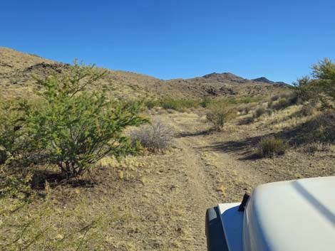 |
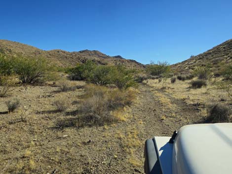
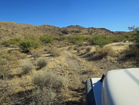
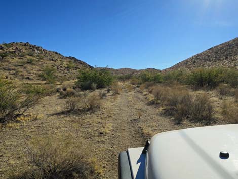
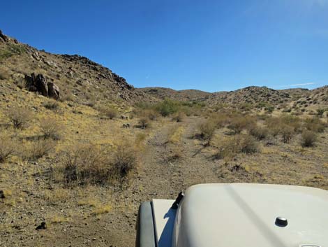
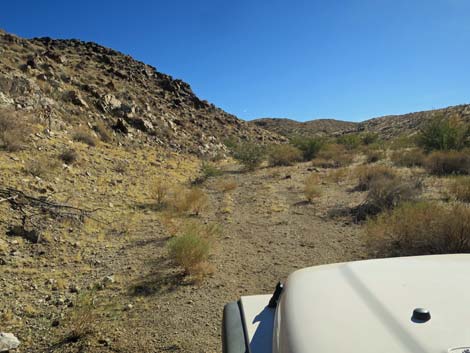
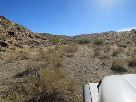
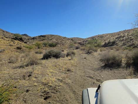
The Road From the obscure fork on Garnet Valley Road (Site 1726), Ruby Spring Road naturally continues southeast out of Garnet Valley and into the side canyon, so drivers who miss the fork will continue on Ruby Spring Road. The two-track Ruby Spring Road runs up into Ruby Spring Canyon. Because the land is formed of decomposed granite, the road surface is fairly smooth and without rocks, and the roadbed is firm. The road winds about the bushes and under a couple of tree-size catclaw acacias, and at about 0.5 miles out, ends at the mouth of a narrowing in Ruby Spring Canyon (Site 1849). The dry Ruby Spring and cement watering trough are located a few yards up the brushy canyon. |
 |
 |
 |
 |
 |
 |
 |
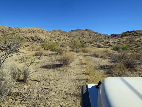 |
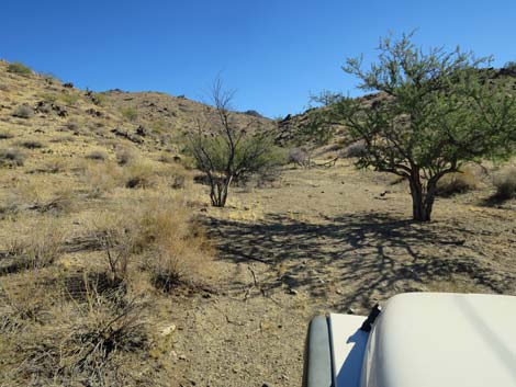 Approaching the end of the road (view SE) |
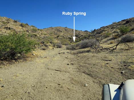 End of the road (view SE) |
Returning down Ruby Spring Road
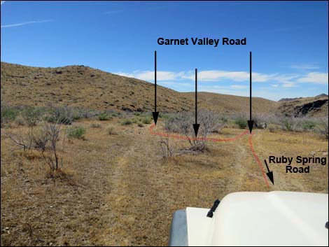 Ruby Spring Road approaching Garnet Valley Road (view SW) |
 More to come ... |
Table 1. Highway Coordinates Based on GPS Data (NAD27; UTM Zone 11S). Download Highway GPS Waypoints (*.gpx) file.
| Site | Location | UTM Easting | UTM Northing | Latitude (N) | Longitude (W) | Elevation (ft) |
|---|---|---|---|---|---|---|
| 1726 | Garnet Valley Rd at Ruby Spring Rd | 747657 | 4006435 | 36.17286 | 114.24652 | 3,236 |
| 1849 | Ruby Spring Road End | 748290 | 4006126 | 36.16993 | 114.23959 | 3,426 |
Happy Hiking! All distances, elevations, and other facts are approximate.
![]() ; Last updated 240326
; Last updated 240326
| Backroads Around Las Vegas | Hiking Around Las Vegas | Glossary | Copyright, Conditions, Disclaimer | Home |