
Backroads Around Las Vegas, Gold Butte
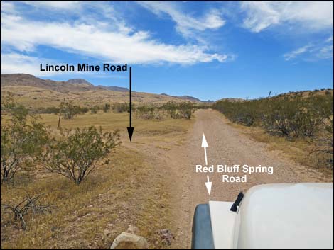 RB Spring Rd at north end of Lincoln Mine Road (view SE; summer) |
Overview Lincoln Mine Road is a 6.7-mile horseshoe-shaped loop off Red Bluff Spring Road (part of the Gold Butte Backcountry Byway) that provides access to the wild and rugged west side of Tramp Ridge. From the north or from the south, the road heads east to run along the base of Tramp Ridge. The road passes the trailhead for a loop hike towards the north end, a nice overlook atop a steep knob at about the middle, the trailhead for Lincoln Mine near the middle, and three quail guzzlers along the south half. The north half of the horseshoe loop is narrow and runs in long, sandy washes with one tight pinch between rock walls that require a narrow 4WD vehicle (jeeps fit though with about 4 inches to spare), but the south half of the road is in reasonably good shape and suitable for 2WD-HC vehicles. Link to map. |
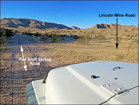 RB Spring Rd at north end of Lincoln Mine Road (view NW; summer) |
Watch Out Other than the standard warnings about driving in the desert, ... this road seems fairly safe with no unusual hazards, but I've not driven the 0.8-miles section at the northeast corner of the horseshoe. The north end of the loop requires a 4WD vehicle because of rocks and sand. This is a wild and remote area without services of any kind (no restrooms, no water, no gas, no food). Bring what you need to survive. Be prepared and be self-reliant. Someone will find you eventually if you stay on a main road, but be prepared to survive alone for a day (or two if you get off the main road). While out, please respect the land and the other people out there, and try to Leave No Trace of your passage. Also, this is a remote area, so be sure to bring the 10 Essentials. |
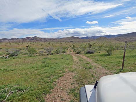 Start of Lincoln Mine Road (view E; spring) |
Getting to Lincoln Mine Road Lincoln Mine Road is located out in Gold Butte northeast of Lake Mead, about 3.5 hours northeast of Las Vegas. From town, drive out to Gold Butte and drive south on the paved Gold Butte Road to Whitney Pocket at the end of the pavement. From Whitney Pocket, continue south on the unpaved Gold Butte Road to Gold Butte Townsite. From the Townsite, drive northwest on Red Bluff Spring Road 2.3 miles to the south end, or 5.9 miles to the north end, of the Lincoln Mine Road loop, both on the right. Alternatively (slower), from Whitney Pocket, drive south on the unpaved Gold Butte Road to Mud Wash North Road. Turn right and continue southwest to Mud Wash Road. Drive west on Mud Wash Road until it ends, then turn left onto Red Bluff Spring Road. Drive south 8.6 and 12.3 miles to the north and south ends of Lincoln Mine Road, respectively, both on the left. |
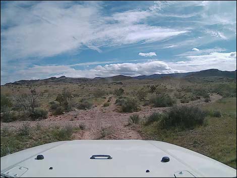 Crossing the wash (view E) |
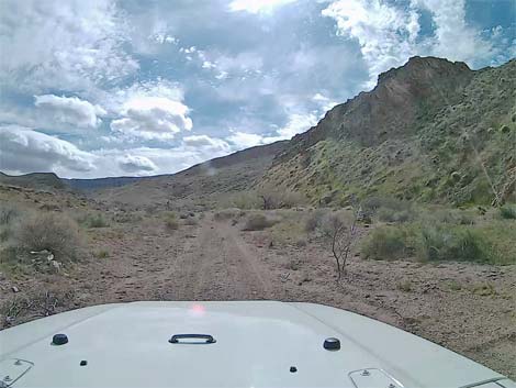
Lincoln Mine Road Lincoln Mine Road departs Red Bluff Spring Road (Table 1, Site 1623), heading due east across the broad wash aiming towards Tramp Ridge in the far distance. The road runs up across the gentle bajada and flats with few if any rocks or serious bumps. This area burned in 2005, and few of the shrubs are growing back, so the landscape is wide open, making for great wildflower blooms in the spring. The road runs up onto a low rise about 0.6 miles out where a nice arch can be seen on the limestone crag ahead on the left. From the low rise, the road glides down into a sand-and-gravel wash and continues upstream. The road runs up the wash into a narrowing canyon, and at 1.1 miles out, with crags overhead, climbs over a rocky sill that crosses the wash. The road runs through a narrow gap in the rocks that gives a jeep a couple of inches on each side. |
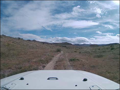 Running across gentle flats (view E) |
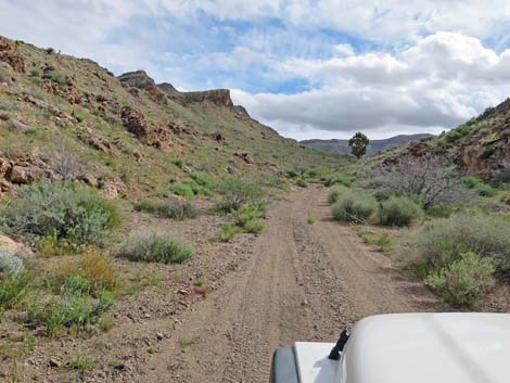
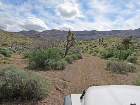
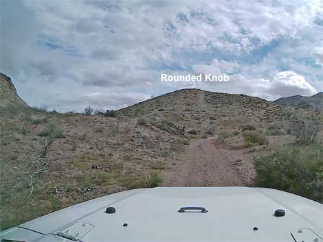
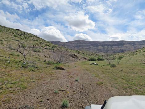
Above the rocky sill, the canyon opens and forks. The road angles left into the northern canyon and narrows a bit a couple of times. The canyon never is a "narrows," but between the rocky wall and the bushes, the road gets pinched a few times. The road winds up the wash between towering limestone crags, and at about 1.7 miles out, passes a canyon on the left. If hiking the Peak 1267 Loop, this is where the loop comes out from behind the mountains. Continuing west, the road runs below Peak 1267, high on the left. After passing a rounded knob on the left, the road passes trailhead parking (Site 1855) for the loop hike. I've not driven the next 0.8 miles, but the road bends right to head up into a canyon and climbs somewhat steeply to a saddle (Site 1621) behind a high knob on a ridge. I've looked down from the saddle, and the road looks a bit narrow as it winds steeply among boulders. From the saddle, the road runs fairly easy all the way back to Red Bluff Spring Road (Site 1692). See details of this section. |
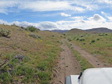 A few gullies, but mostly easy driving (view E) |
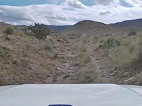 A few rocks in the road |
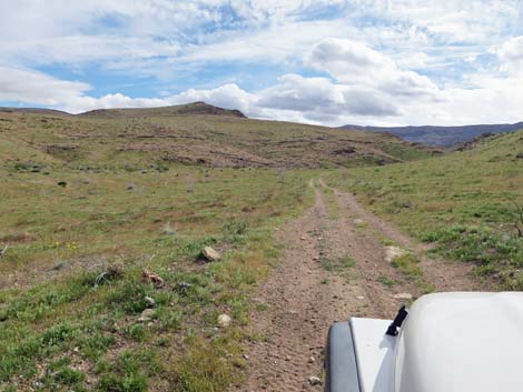 Heading towards a low rise (view E) |
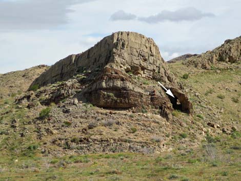 Limestone crag and arch (view NE) |
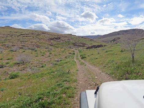 Gliding down towards the wash (view E) |
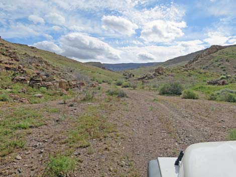 Much of the wash provides easy driving (view E) |
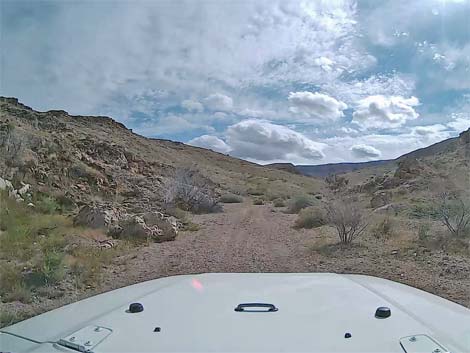 |
 |
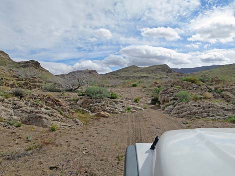 Approaching the narrow gap in the rocky sill (view E) |
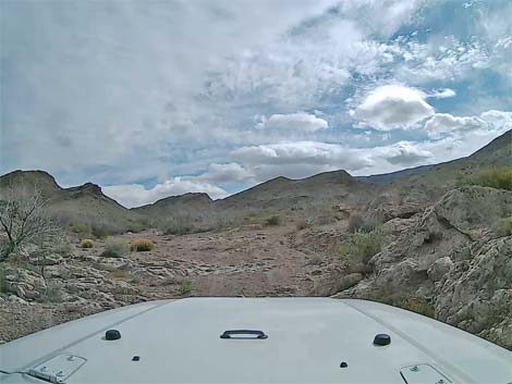 Tight squeeze (view E) |
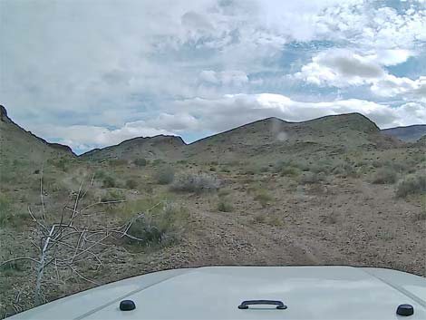 Road leaves the wash to the left |
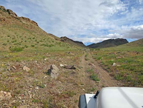 Fairly easy two-track road (view E) |
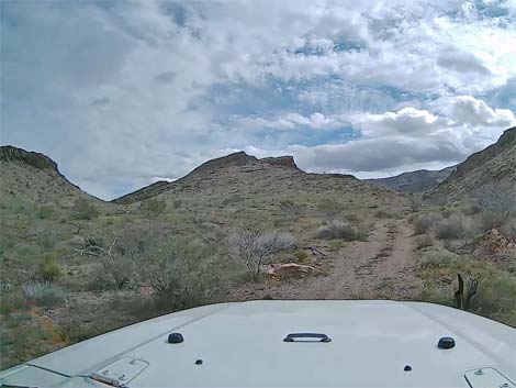 Canyon on the left if returning from the hiking loop (view E) |
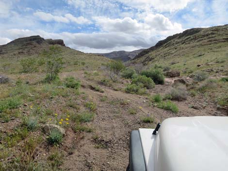 Fairly easy driving in the wash (view E) |
 |
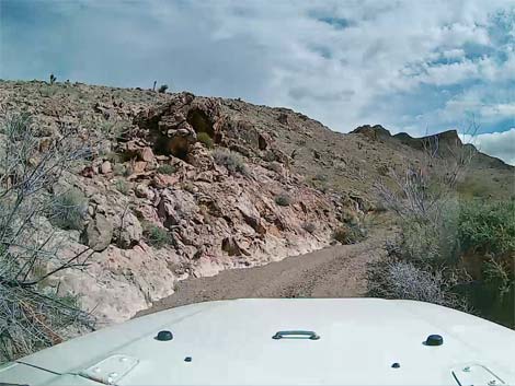 |
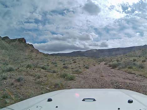 |
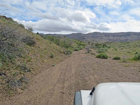 |
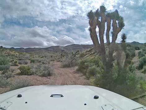 |
 |
 |
 |
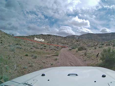 Approaching route for Peak 1267 Loop (view E) |
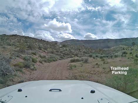 Lincoln Mine Road at trailhead parking for Peak 1267 Loop (view E) |
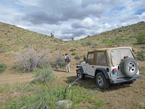 Trailhead parking for Peak 1267 Loop (view E) |
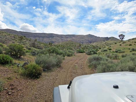 Past trailhead, road begins to bend south (view SE) |
Table 1. Highway Coordinates Based on GPS Data (NAD27; UTM Zone 11S). Download Highway GPS Waypoints (*.gpx) file.
| Site | Location | UTM Easting | UTM Northing | Latitude (N) | Longitude (W) | Elevation (ft) |
|---|---|---|---|---|---|---|
| 1619 | Lincoln Mine Rd at Perkins Spring Rd | 750330 | 4022460 | 36.31649 | 114.21171 | 3,510 |
| 1620 | Lincoln Mine Rd at Lincoln Mine Trail | 751190 | 4024258 | 36.33246 | 114.20156 | 3,757 |
| 1621 | Lincoln Mine Rd at Overlook Rd | 751592 | 4025123 | 36.34013 | 114.19681 | 3,936 |
| 1622 | Lincoln Mine Rd Overlook | 751564 | 4025155 | 36.34043 | 114.19711 | 3,970 |
| 1623 | Red Bluff Spring Rd at Lincoln Mine Rd North | 747896 | 4026111 | 36.34999 | 114.23763 | 2,930 |
| 1692 | Red Bluff Spring Rd at Lincoln Mine Rd | 749122 | 4020970 | 36.30338 | 114.22562 | 3,194 |
| 1855 | Peak 1267 Trailhead Parking | 751580 | 4026344 | 36.35113 | 114.19654 | 3,945 |
Happy Hiking! All distances, elevations, and other facts are approximate.
![]() ; Last updated 240326
; Last updated 240326
| Backroads Around Las Vegas | Hiking Around Las Vegas | Glossary | Copyright, Conditions, Disclaimer | Home |