
Hiking Around Las Vegas, Gold Butte National Monument

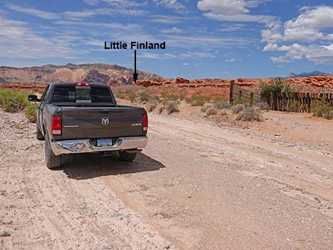 Trailhead parking along Mud Wash Road at the corral (view N) |
Overview The hike from Mud Wash Corral to Little Finland is a short, 1/3-mile jaunt over the hills that saves drivers about 4 miles, probably takes less time, and makes access easier for drivers without 4WD vehicles. For people who enjoy the ride, the road gets you closer, but for others, this route adds a bit more interest to the Little Finland adventure. From the historic Mud Wash Corral, the route follows an old road that leads to nowhere, then runs north on a use-trail over low hills to the base of the Little Finland cliffs. A ramp, guarded by a sandstone dragon, leads easily into the Little Finland area, which is full of sandstone gnomes, fanciful shapes, and more sandstone monsters. Link to map. |
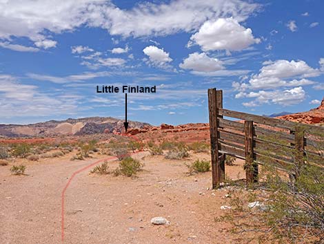 The trail starts by the old corral (view N towards Little Finland) |
Watch Out Other than the standard warnings about hiking in the desert, ... this site is pretty safe, but always be careful when high enough to fall and get hurt. Stepping around the end of a barbed-wire fence at the edge of a cliff is a little airy, but the metal fence post is solid. The next fence post, however, is not solid, so hang onto the barbed wire too tightly. This is a wild and remote area without services of any kind (no restrooms, no water, no gas, no food). Bring what you need to survive. Be prepared and be self-reliant. Law enforcement occasionally patrols the area. Someone will find you eventually if you stay on a main road, but be prepared to survive alone for a day or two. Cell phones only work along parts of the paved road. While out, please respect the land and the other people out there, and try to Leave No Trace of your passage. Also, this is a remote area, so be sure to bring the 10 Essentials. |
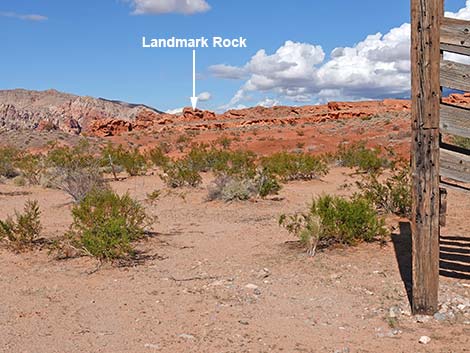 From the corral, the Landmark Rock is visible on the horizon (view N) |
Getting to the Trailhead This hike is located out in Gold Butte National Monument at the northeast end of Lake Mead, about 3 hours northeast of Las Vegas in a wild, remote, and scenic area. From town, drive out the paved Gold Butte Road 21 miles to the end of the pavement at Whitney Pocket. Continue south on the unpaved Gold Butte Road for 3.9 miles to Mud Wash North Road on the right. Turn onto Mud Wash North Road and drive southwest 3.2 miles to Mud Wash Road. Stay right onto Mud Wash Road and continue west down the wash for 1.7 miles to Mud Wash Corral, on the right. Park adjacent to Mud Wash Corral on the west side of the road. Park here; this is the trailhead. |
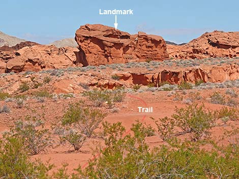 Landmark Rock is visible on the horizon (view N) |
The Hike From the trailhead parking near the corral (Table 1, Waypoint 01), the route runs north next to the corral. From the corral loading chute, take a moment and look north. The band of red, sandstone cliffs mark the edge of the Little Finland area. The left edge of the cliffs is the entrance into Little Finland, proper. For getting started however, the route is faint and unmarked. Look north and locate Landmark Rock (see photos). From the corral loading chute, the route heads more-or-less straight towards Landmark Rock. The route eventually becomes more obvious, and Landmark Rock will become unnecessary. From the loading chute, the route head away from the corral and crosses a shallow wash. Footprints might be visible, but otherwise just walk up the rolling mud hills towards Landmark Rock. It eventually becomes apparent that the route is following an old road. |
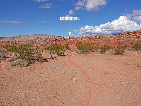 From the corral, the trail heads north (view N) |
Following the old road, the route climbs over a low ridge and drops into a bit of a bowl (Wpt. 02) where the road ends for no apparent reason. Continuing northwest, a use-trail leads over a low saddle (Wpt. 03) and out of the bowl. From the saddle, hikers can see a fenceline ahead to the northwest that blocks cows out of a gully, and they can see the ramp that leads through the Little Finland cliffs. Continuing northwest, the route passes over the low promontory (Wpt. 04) at the left end of the fence. From the promontory, another fence can be seen just ahead. |
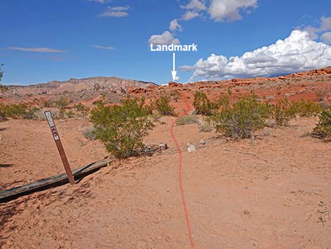 Trail leaving the corral area (view N towards Landmark Rock) |
This time, the route passes the right end of the fence (Wpt. 05) where hikers need to be careful on the edge of the cliff. The fence post on the edge of the cliff has been a sturdy handhold, but the second post is less sturdy. Be careful if holding onto the barbed-wire fence, and test the fence post before trusting it with your life. Now on the north side of the fence, the use-trail follows the fenceline for 4-5 posts, then turns more northeast and descends the hillside into the bottom of the gully, reaching the bottom near a short palm tree (Wpt. 06). In the bottom of the gully, the route follows the base of the Little Finland cliffs, and after paying proper homage to the sandstone dragon that guards the entrance (Wpt. 07), the route follows the horizontal ramp into Little Finland from where hikers are free to wander about. When returning, hikers need only follow the top edge of the cliffs to find the ramp, and then retrace the route back to the trailhead (Wpt. 01). |
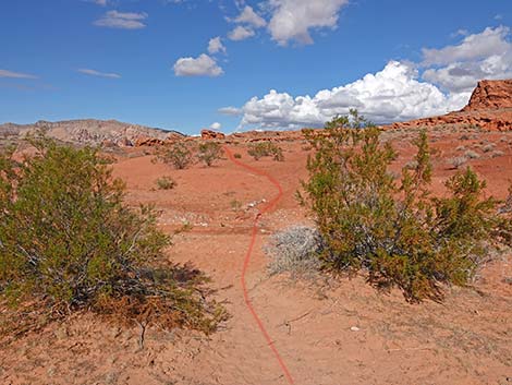 The trail crosses a shallow wash (view N) |
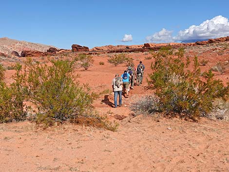 Hikers crossing the shallow wash (view N) |
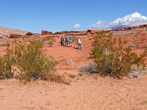 Hikers continuing past the shallow wash (view N) |
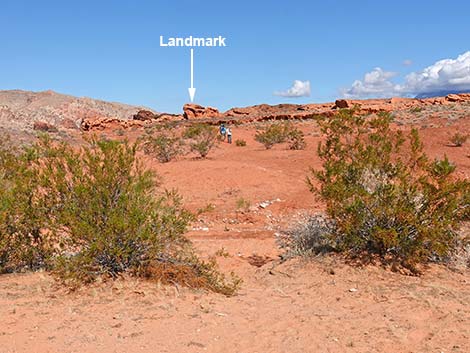 Hikers continuing up the trail towards Landmark Rock (view N) |
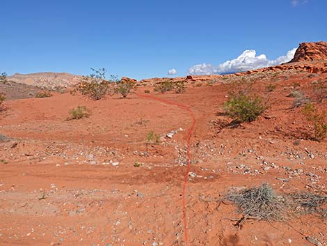 Trail crossing the shallow wash (view N) |
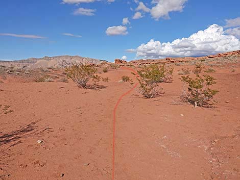 Trail continues across mud hill towards Landmark Rock (view N) |
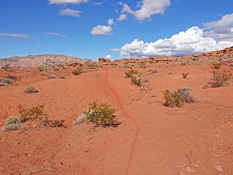 Trail continues across mud hill towards Landmark Rock (view N) |
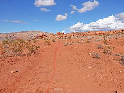 Trail continues across mud hill towards Landmark Rock (view N) |
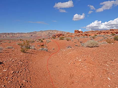 Trail starts to look like a real trail (view N towards Landmark Rock) |
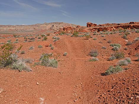 Trail becomes more apparent (view N) |
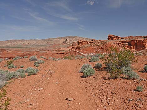 Trail follows old road (view N) |
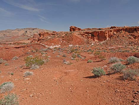 Atop low ridge (view NW into bowl area) |
 Route continues across bottom of the bowl (view N) |
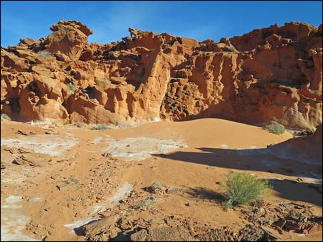 Hikers might take little detour east to cliffs and sand dunes (view E) |
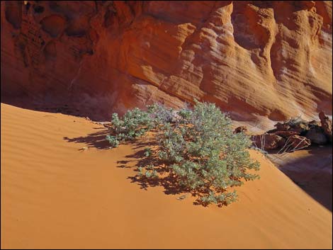 Hikers might take a little detour east to cliffs and sand dunes |
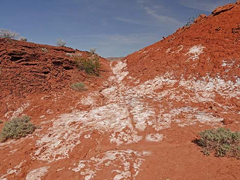 Use-trail continues over low saddle (view NW) |
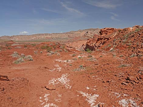 Atop low saddle (view NW) |
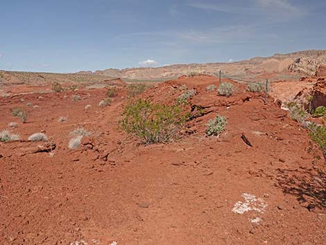 Approaching promontory and first fence; pass on the left (view NW) |
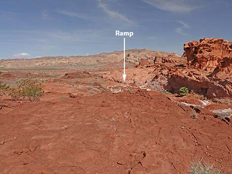 Atop promontory (view NW towards ramp into Little Finland) |
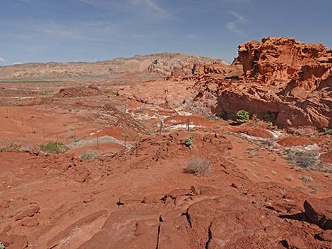 Approaching east end of the second fence (view NW) |
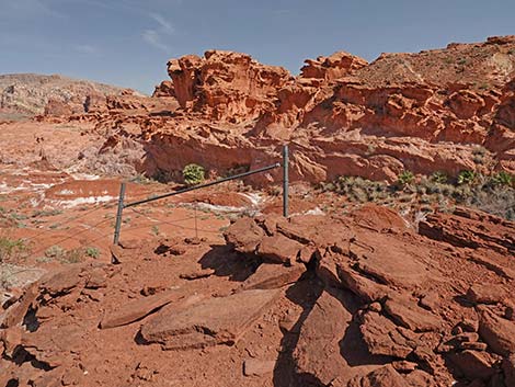 East end of the second fence (view NW) |
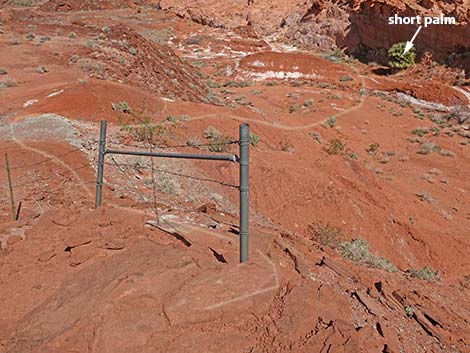 Second fence; pass on right at edge of drop-off (view NW) |
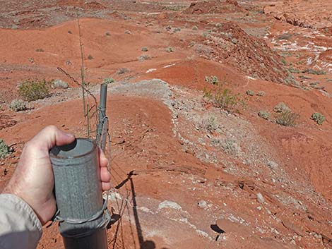 Use pipe for balance at edge of cliff (view NW) |
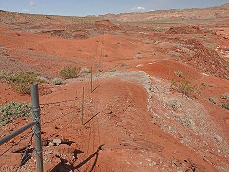 Trail follows fence down the ridge top (view NW) |
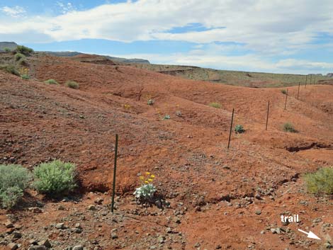 Silverleaf Sunrays in bloom outside fence (view NW) |
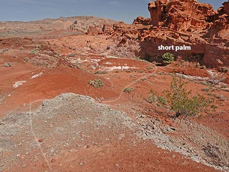 Past green ash layer, trail descends side of ridge (view N) |
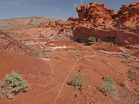 Trail descends side of ridge towards short palm tree (view N) |
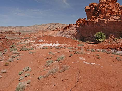 Route descends slope towards short palm tree (view N) |
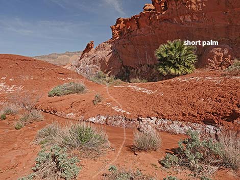 Route passes short palm at base of cliff (view N) |
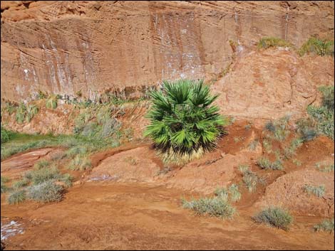 Short palm tree (view NNE) |
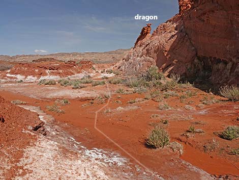 Route runs down sandy wash towards the dragon (view NW) |
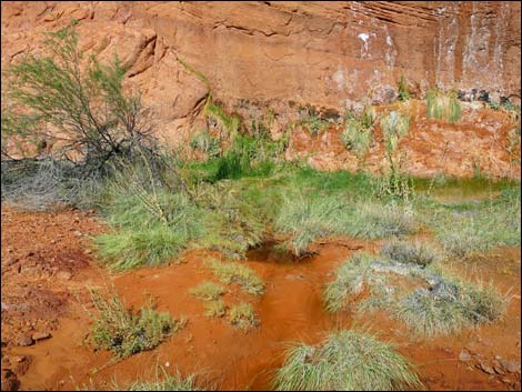 Desert spring at base of Little Finland cliffs (view NE) |
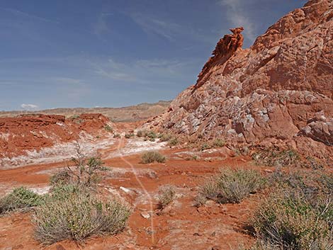 Trail crosses wash staying along base of cliffs under dragon (view N) |
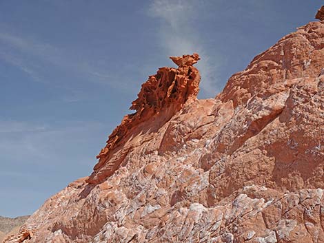 Don't annoy the dragon! |
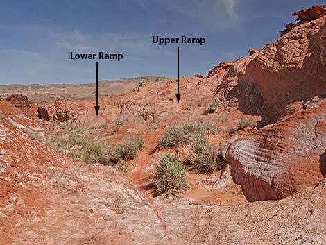 Beyond the dragon, route runs up ramps (view NW) |
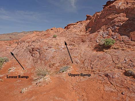 Two ramps: lower ramp and upper ramp (view NW) |
Taking the Lower Ramp
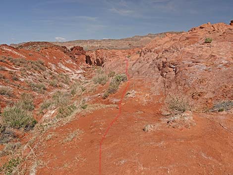 The lower ramp is easier (view NW) |
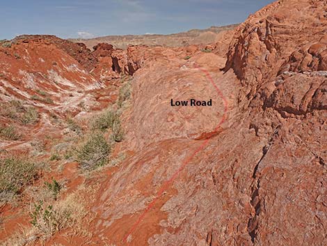 Lower ramp starts onto the rocks (view NW) |
 The lower ramp (view NW) |
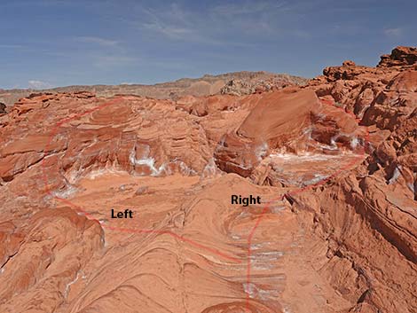 Entering a maze of pathways: choose left or right (view NW) |
Right Fork (this fork probably is easier)
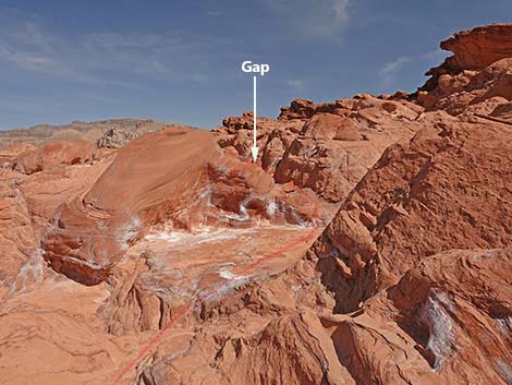 The route to the right probably is easier (view NW) |
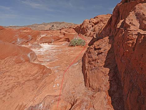 Route passes through gap in the crags (view N) |
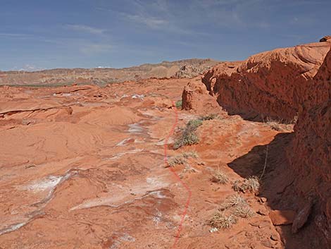 Route follows base of low crags (view N) |
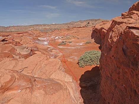 Route passes through another gap (view NW) |
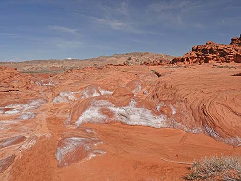 Entering Little Finland (view NW) |
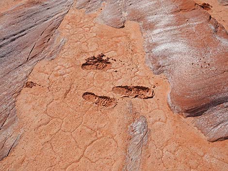 Try to stay off the mud when wet -- footprint last forever |
Left Fork (this route seems simpler)
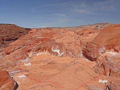 Staying left at the fork (view NW) |
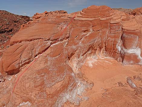 A fairly easy scramble-up (view NW) |
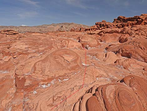 Above the scramble-up, the route is easy (view NW) |
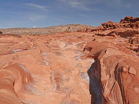 Easy street into southern Little Finland (view NW) |
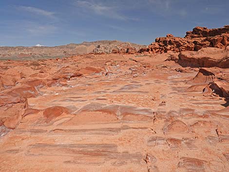 Southern Little Finland (view NW) |
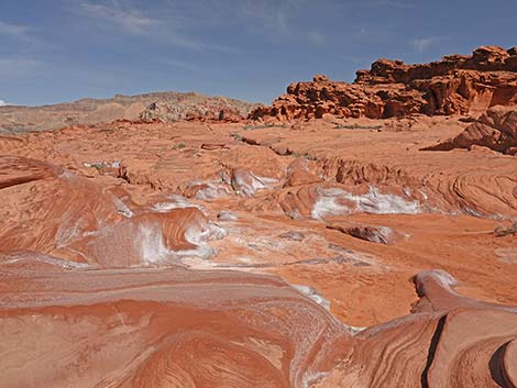 Southern Little Finland (view NW) |
Taking the Higher Ramp
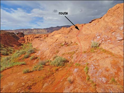 The high ramp works too (view N) |
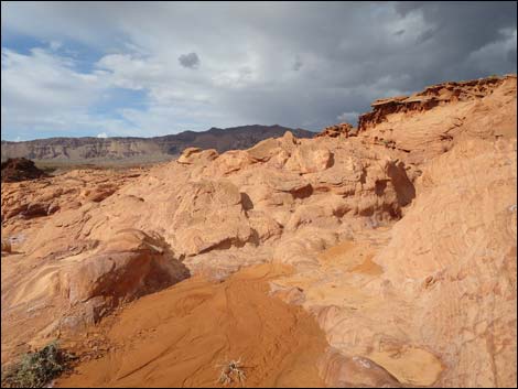 High-ramp route arriving atop cliffs (view N) |
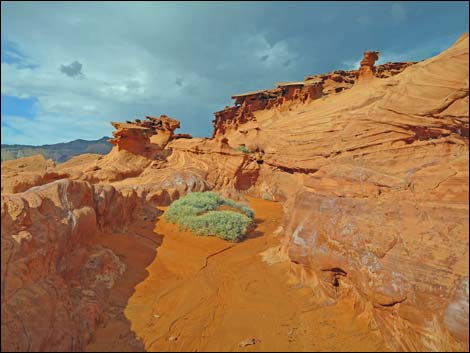 Entering Little Finland, proper (view N) |
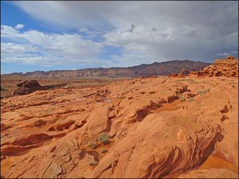 Little Finland, proper (view NW) |
Return to the Trailhead
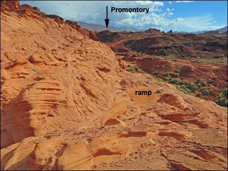 Edge of cliffs; atop Lower Ramp (view S departing Little Finland) |
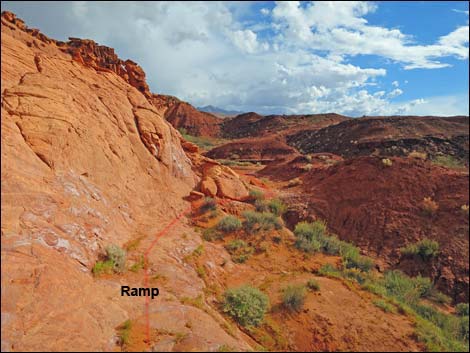 Descending the Lower Ramp (view S) |
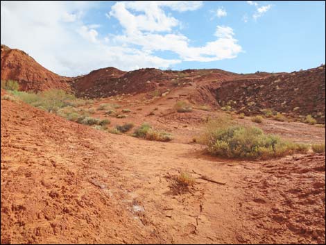 Route climbs hillside towards fence on skyline (view S) |
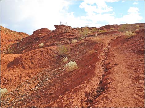 Hillside with first fence ahead (view S) |
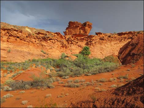 Monster face looking over Little Finland cliffs? |
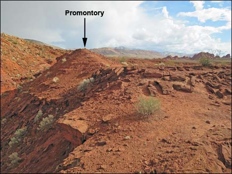 Beyond fence (view SE towards promontory) |
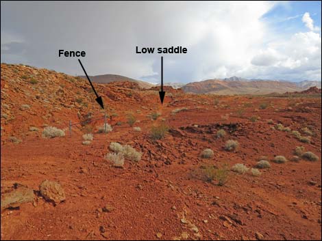 Atop promontory (view SE towards low saddle) |
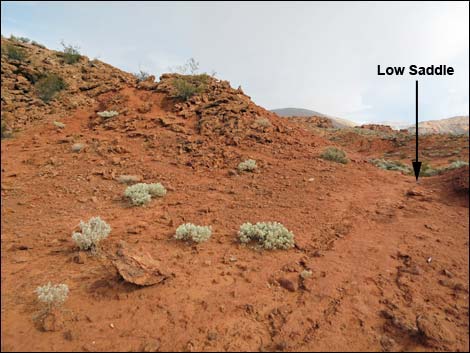 Approaching low saddle (view SE) |
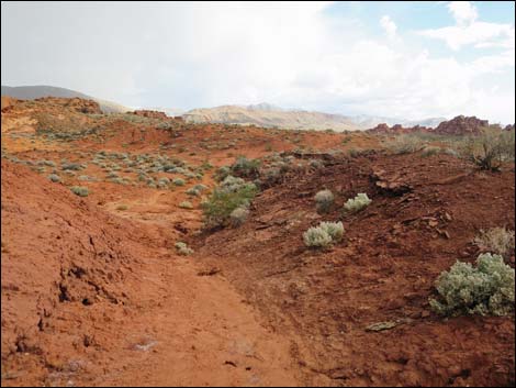 Atop low saddle (view SE into bowl) |
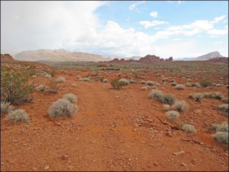 Exiting bowl over low ridge on old road (view S) |
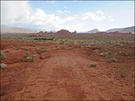 Route returns over old road (view S towards corral) |
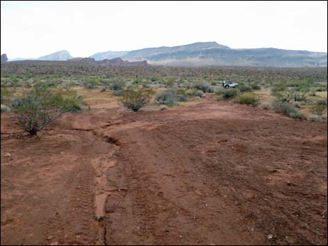 Approaching wash (view S) |
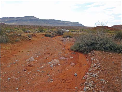 Returning down wash towards trailhead (view W) |
 more to come ... |
Table 1. Hiking Coordinates and Distances based on GPS Data (NAD27; UTM Zone 11S). Download Hiking GPS Waypoints (gpx) file.
| Wpt. | Location | UTM Easting | UTM Northing | Elevation (ft) | Point-to-Point Distance (mi) | Cumulative Distance (mi) | Verified |
|---|---|---|---|---|---|---|---|
| 01 | Trailhead | 749997 | 4036363 | 1,906 | 0.00 | 0.00 | Yes |
| 02 | Old Road Ends | 749978 | 4036660 | 1,907 | 0.17 | 0.17 | Yes |
| 03 | Low Saddle | 749963 | 4036678 | 1,903 | 0.02 | 0.19 | Yes |
| 04 | Fence atop Promontory | 749938 | 4036712 | 1,910 | 0.02 | 0.21 | GPS |
| 05 | Second Fence | 749910 | 4036743 | 1,901 | 0.03 | 0.24 | GPS |
| 06 | Base of Wall at Short Palm Tree | 749909 | 4036820 | 1,855 | 0.06 | 0.30 | GPS |
| 07 | Slickrock Ramp | 749880 | 4036878 | 1,851 | 0.04 | 0.34 | GPS |
| 01 | Trailhead | 749963 | 4036438 | 1,906 | 0.34 | 0.68 | GPS |
Happy Hiking! All distances, elevations, and other facts are approximate.
![]() ; Last updated 240325
; Last updated 240325
| Backroads Around Las Vegas | Hiking Around Las Vegas | Glossary | Copyright, Conditions, Disclaimer | Home |