
Hiking Around Las Vegas, Gold Butte National Monument
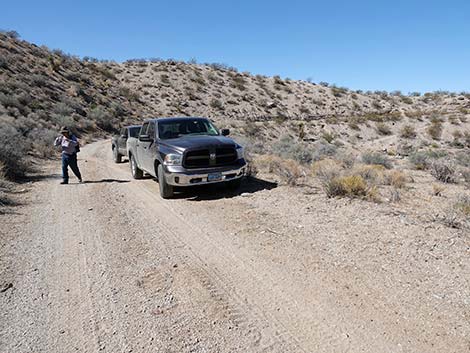 Hiker departing Lava Falls trailhead (view E) |
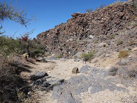
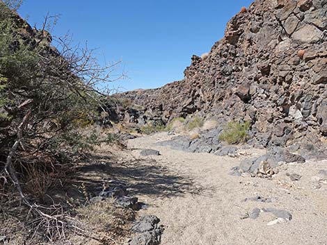
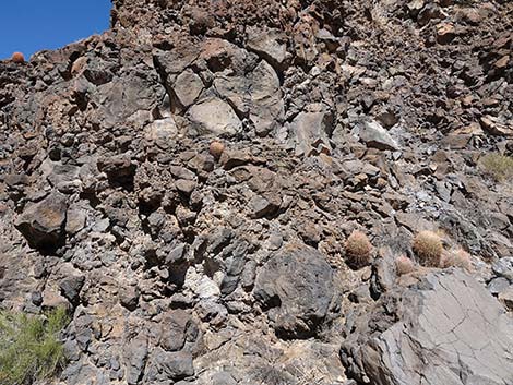
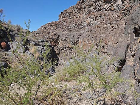
Overview Lava Falls is an interesting part of the geologic history of Gold Butte. In the not-too-distant geologic past (about 6 million years), the land west of Gold Butte Townsite split open and lava oozed out onto the landscape several times. Like water after summer thunderstorms, the lava ran downhill into Quail Spring Wash, filling the canyon for a short distance. In the years since, summer storms continue to flow down Quail Wash, partially eroding out the channel again. The process of erosion has left a narrow channel with two water-polished pour-overs. The first is easy to downclimb, but the second blocks all passage down the canyon. This 0.35-mile (RT) hike goes downstream to the top of the second pour-over. While the hike is short, this seems to be the only volcano in Gold Butte National Monument (there are several just to the east in Arizona), so it becomes a must-see spot for this area. Link to area map or hiking map. |
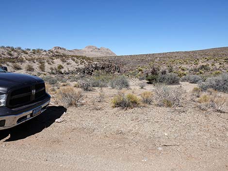 From Lava Falls trailhead, the route heads down the wash (view N) |
Watch Out Other than the standard warnings about hiking in the desert, ... this area is fairly safe, but the hike descends one water-polished pour-over and goes to the top of another, so be extra careful when high enough to fall and get hurt. This is a wild and remote area without services of any kind (no restrooms, no water, no gas, no food). Bring what you need to survive. Be prepared and be self-reliant. Law enforcement occasionally patrols the area. Someone will find you eventually if you stay on a main road, but be prepared to survive alone for a day or two. Cell phones don't work here. The roads require, at the least, a 2WD-HC vehicle; 4WD always is better in the remote areas. While hiking, please respect the land and the other people out there, and try to Leave No Trace of your passage. Also, this is a remote hike, so be sure to bring the 10 Essentials. |
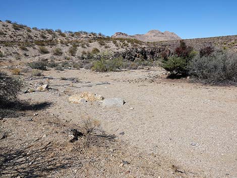 Approaching Quail Springs Wash (view NW) |
Getting to the Trailhead Lava Falls is located out in Gold Butte National Monument, south of Mesquite, about 3-1/2 hours northeast of Las Vegas in a wild, remote, and scenic area. From town, drive out to Gold Butte National Monument. From Whitney Pocket, continue south on the unpaved Gold Butte Road for 20.2 miles to the Gold Butte Townsite area. Here, a sign announces Gold Butte Townsite on the left and Red Bluff Spring Road on the right. This is the end of Gold Butte Road. The road that continues straight (southwest) is Scanlon Road. Continue on Scanlon Road for 1.4 miles to a fork. Turn right, off the main road, and continue west on Quail Springs Wash Road (2WD-HC should be good enough). The road passes a quail guzzler on the left, crosses a rocky wash (notice the black rocks!), runs down along the edge of Quail Springs Wash, and bends to the right to climb steeply out of the wash. Just before starting to climb out of the wash (2.0 miles out), stop and park off the side of the road; this is the trailhead. |
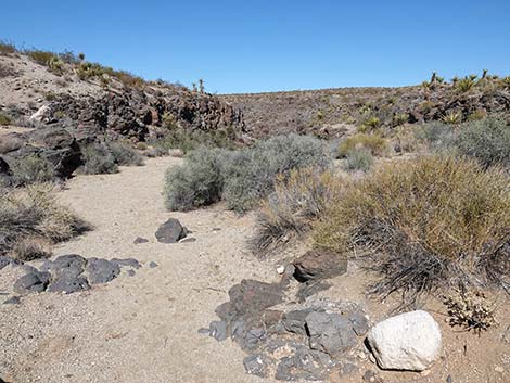
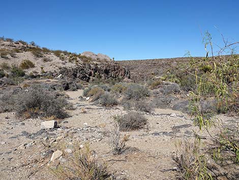 Heading down Quail Springs Wash (view NW) |
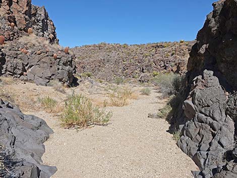
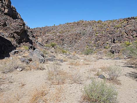
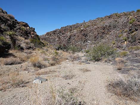
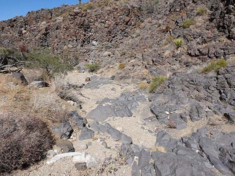
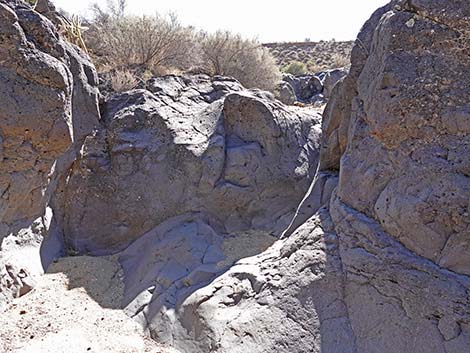
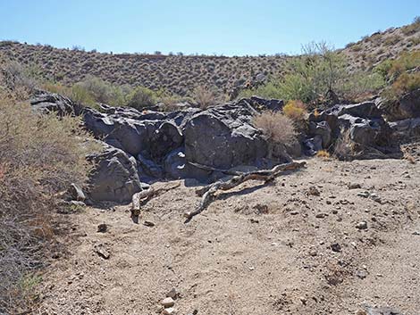
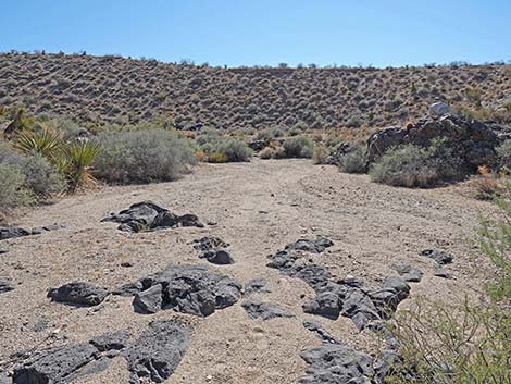
The Hike From the trailhead (Table 1, Waypoint 01), the route drops directly into Quail Spring Wash (Wpt. 03) and heads downstream (northwest). In the wash, the route quickly arrives at the first, 2-step pour-over. The upper step is easily passed on the west side, and the lower step is passed by sliding down the slot. From there, it is a short distance to the second, much higher pour-over. Hikers can walk carefully to the edge, but then there is a higher overlook (Wpt. 04) up on the west side with a somewhat better view. Either way, this is a place to marvel at the layers of volcanic rock that rolled down and filled Quail Spring Wash. Continuing down the canyon requires ropes. If not here, certainly farther down. When ready, follow your footprints back to the trailhead (Wpt. 01), but be quick lest the volcano erupt again and refill the canyon! |
 |
 |
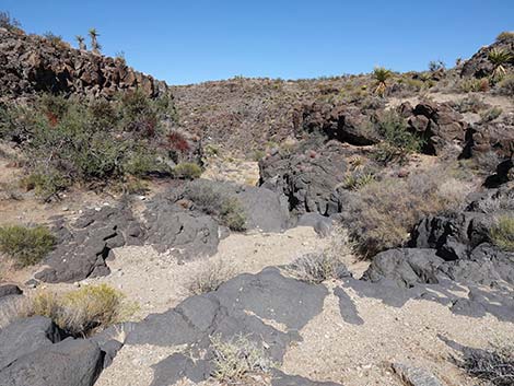 Starting into the canyon (view NW) |
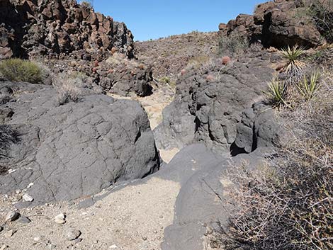 Approaching top of first pour-over (view N) |
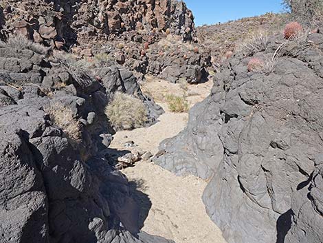 Top of first pour-over (view N) |
 Hiker exiting bottom of first pour-over (view N) |
 |
 |
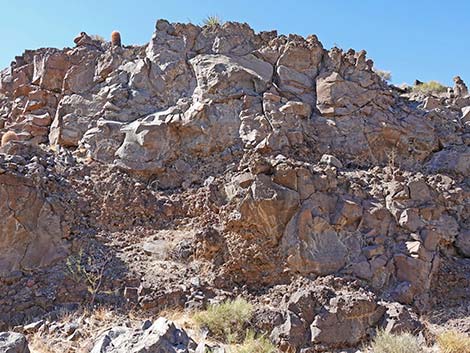 Layers of lava in the canyon wall (view W) |
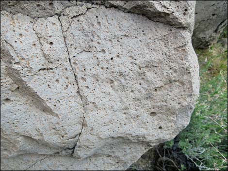 Lava rock with few air pockets |
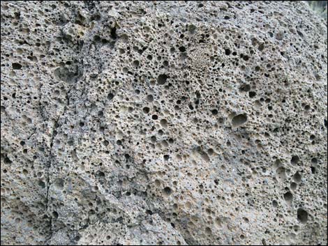 Lava rock with lots of air pockets |
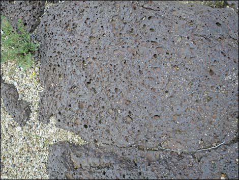 Water-polished lava rock at edge of the wash |
 |
 |
 |
 |
 |
 |
 |
 |
 Approaching the second pour-over (view NW) |
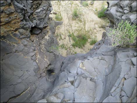 That's a long way down! |
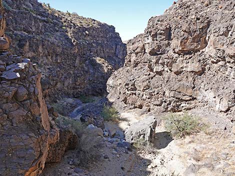 Atop pour-over, view to the left (view W) |
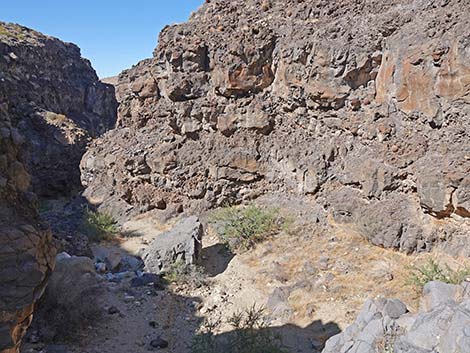 Atop pour-over, straight (view W) |
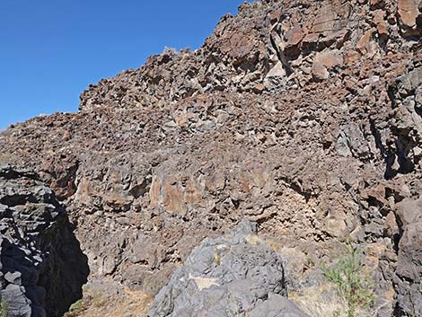 Atop pour-over, view to the right (view NW) |
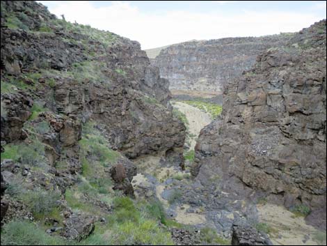 Overlook with no way to pass the pour-over (view NW) |
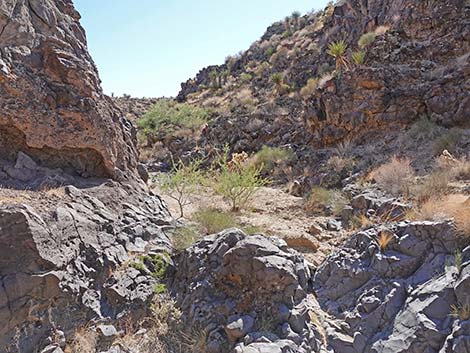
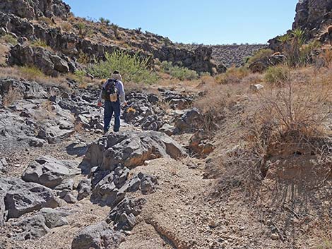
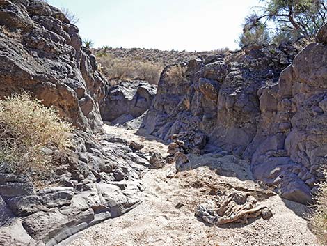
Returning to the Trailhead
 |
 |
 |
 |
 |
 |
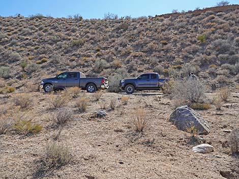 Returning to the trailhead (view S) |
 More to come ... |
Table 1. Hiking Coordinates and Distances based on GPS Data (NAD27; UTM Zone 11S). Download Hiking GPS waypoints (gpx) file.
| Wpt. | Location | UTM Easting | UTM Northing | Elevation (ft) | Point-to-Point Distance (mi) | Cumulative Distance (mi) |
|---|---|---|---|---|---|---|
| 01 | Lava Falls Trailhead | 747044 | 4016434 | 3,214 | 0.00 | 0.00 |
| 02 | Edge of Wash | 747053 | 4016453 | 3,021 | 0.02 | 0.02 |
| 03 | Top of Lava Falls | 747034 | 4016660 | 3,162 | 0.16 | 0.17 |
| 01 | Lava Falls Trailhead | 747044 | 4016434 | 3,214 | 0.17 | 0.35 |
Happy Hiking! All distances, elevations, and other facts are approximate.
![]() ; Last updated 240325
; Last updated 240325
| Hiking Around Gold Butte | Hiking Around Las Vegas | Glossary | Copyright, Conditions, Disclaimer | Home |