
Hiking Around Las Vegas, Gold Butte National Monument

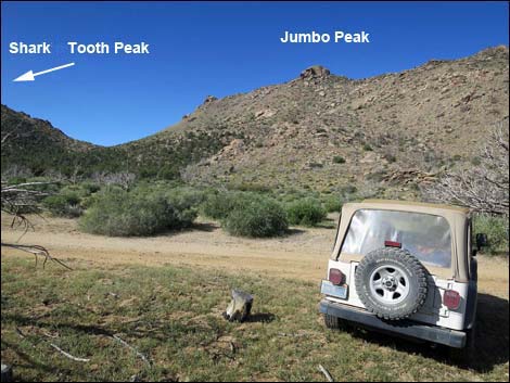 Jumbo Peak Trailhead (view SW) |
Overview Jumbo Springs Wilderness Area, located at the south end of Gold Butte National Monument, is extremely remote, steep, and rocky. It is so steep and rocky that there are few places where even hardy hikers can penetrate the boundaries -- truly a desert land best left to the lizards. The 1.7-mile, in-and-out Jumbo Springs Overlook route barely penetrates the wilderness area. Instead, the route climbs steeply through a boulder- and tree-choked gully to a saddle on the ridgeline that serves as the wilderness boundary. From the saddle, the route continues a short distance into the wilderness area to a rocky outcrop, a place to relax and bask in the sunny wilderness view. The overlook provides surprisingly grand views south that stretch from the Grand Wash Cliffs and Kelly Point on the Shivwits Plateau (Grand Canyon) to Hualapai Mountain south of Kingman, to Spirit Mountain west of Laughlin, and possibly the New York Mountains in California. This is the easiest access to the northwest edge of the wilderness. Link to Map. |
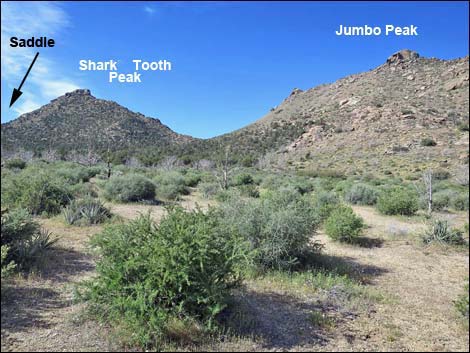 Starting towards the wash (view SW) |
Watch Out Other than the standard warnings about driving in the desert, ... this is a wild and remote area without services of any kind (no restrooms, no water, no gas, no food). Bring what you need to survive. Be prepared and be self-reliant. It is a big place, but someone will eventually find you if you stay on a main road, but be prepared to survive alone for a day or two, or even longer on side roads. Consider signaling the tourist helicopters that traverse the area coming and going from the Grand Canyon. This hike is relatively safe, but be extra careful on the rocky outcrop where hikers could fall into the wilderness area. While out, please respect the land and the other people out there, and try to Leave No Trace of your passage. Also, this is a remote area, so be sure to bring the 10 Essentials. |
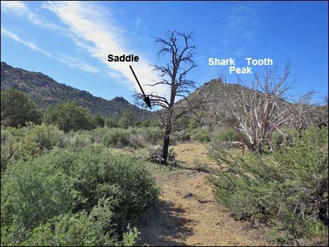 Route runs towards saddle (view S) |
Getting to the Trailhead The Jumbo Springs Wilderness Area is located out in Gold Butte National Monument at the northeast end of Lake Mead, about 5 hours northeast of Las Vegas in a wild, remote, and scenic area. From town, drive out to Gold Butte National Monument. From Whitney Pocket, continue south on the unpaved Gold Butte Road to Gold Butte Townsite. From there, Scanlon Road is the main road running southwest. Drive south on Scanlon Road for 1.9 miles to Quail Springs Wash (watch for a flash flood warning sign). Turn left and drive up Cedar Basin Road, which follows Quail Springs Wash into Cedar Basin. At 3.3 miles out, Cedar Basin Road forks at a white 55-gallon drum in a forested area, stay right on Cedar Basin Road. Passing historic corrals, Cedar Basin Road continues south into a broad canyon generally following a wash. When the road turns left out of the wash and starts up across the gentle hillside, watch for an open area among burned trees that serves as the trailhead. Don't get too far from the wash. Park here; this is the trailhead. |
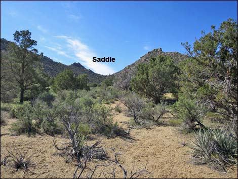 Open vegetation en route to the saddle (view S) |
The Hike From the trailhead (Table 1, Waypoint 01), the route runs southwest and down into the wash in the bottom of the canyon (Wpt. 02). Turning upstream in the bottom of the main canyon, the route stays more to the left than seems necessary, as the route runs a bit left of due south aiming for the saddle on the east side of Shark Tooth Peak. The route runs up to the head of the valley (Wpt. 03). Getting to this point, the vegetation has been getting more and more dense. The route starts up the gully, and here trees and enormous boulders conspire with the dense shrubby vegetation to hinder hiker movements. With persistence, eventually the grade eases, the vegetation thins, and passing one last huge boulder, the route arrives at a saddle on the ridgeline (Wpt. 04). |
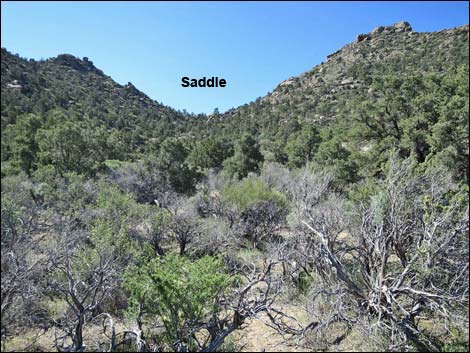 Dense vegetation en route to the saddle (view S) |
The boundary of this wilderness area makes little sense geographically, and while one might expect the ridgeline to be the boundary, it is not. Continuing over the ridge and staying a bit left, the route runs out to a rocky crag that is, just barely, inside Jumbo Springs Wilderness Area. Views from the Overlook cover a vast landscape, including the Grand Wash Cliffs in Arizona, the mouth of the Grand Canyon, the Colorado River, south-facing slopes of Jumbo Springs Wilderness Area, peaks down across Arizona, Lake Mead, Bonelli Peak, Valley of Fire, the Sheep Range, and the Jumbo Peak mountains. Better views can be had farther out the ridge in both directions, but nether ridgeline is inside the wilderness area. When ready, follow your footprints back to the trailhead, or if feeling energetic, consider climbing Shark Tooth Peak and following the ridge down to the saddle on the other side. |
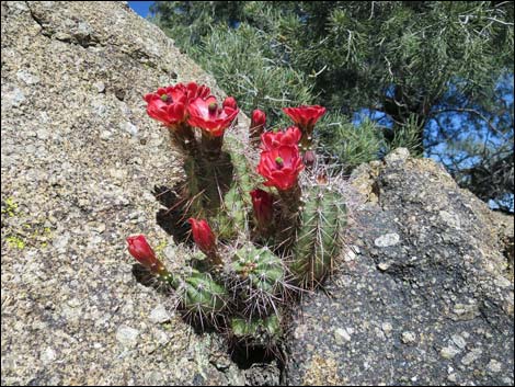 Mojave Kingcup Cactus |
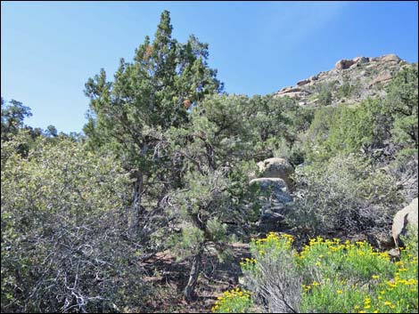 Steep slopes, dense vegetation, and boulders hinder progress |
 Steep slopes, dense vegetation, and boulders hinder progress |
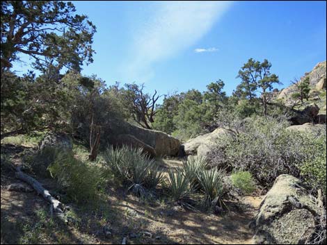 Slopes, vegetation, and boulders ease (view S) |
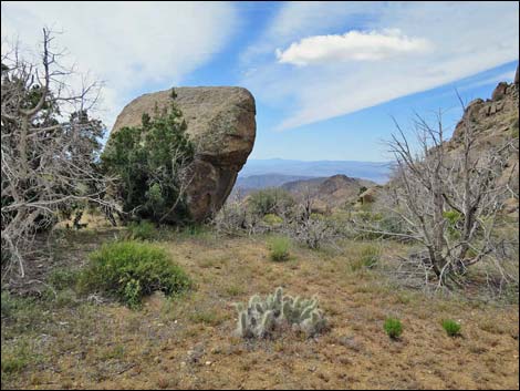 One last boulder barely blocks the way ... |
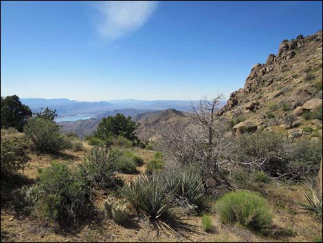 ... and the view begins to open over the wilderness area (view S) |
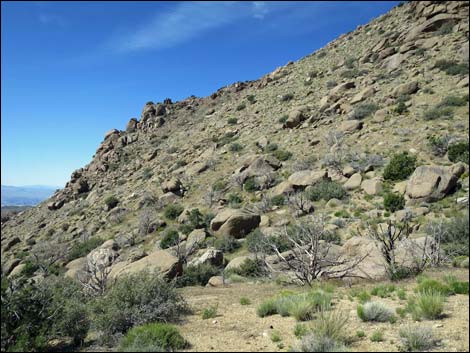 Saddle (lower slopes are in the wilderness area (view SW) |
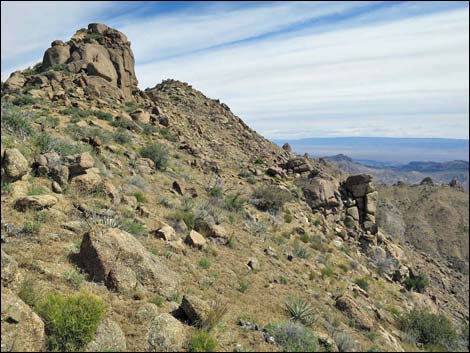 Saddle (lower slopes are in the wilderness area (view E) |
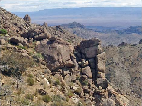 Rocky outcrop overlook inside the wilderness area (view E) |
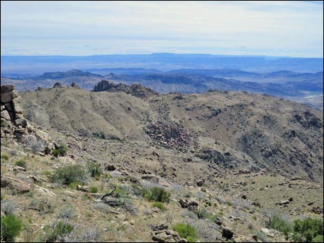 Overlook (view E towards Shivwits Plateau and Grand Canyon) |
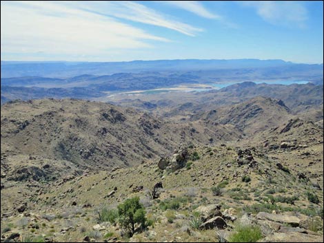 Overlook (view SE) |
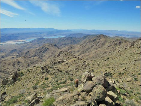 Overlook (view S towards Hualapai Mountain) |
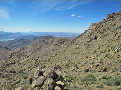 Overlook (view SW towards Spirit Mountain) |
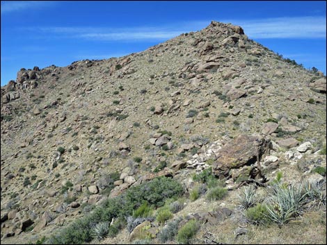 Overlook (view W to Shark Tooth Peak) |
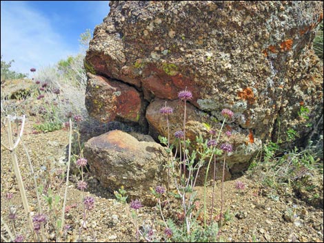 Vegetation inside the wilderness: Chia |
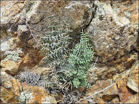 Vegetation inside the wilderness: Spiny Cliffbrake Fern |
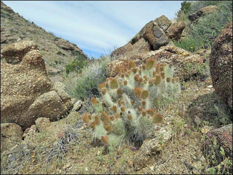 Vegetation inside the wilderness: Grizzlybear Cactus |
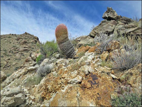 Vegetation inside the wilderness: California Barrel Cactus |
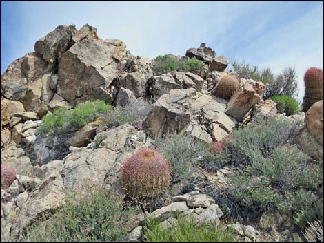 Vegetation inside the wilderness: mixed shrubs |
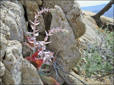 Vegetation in the wilderness: Chalk Dudleya |
Table 1. Hiking Coordinates and Distances based on GPS Data (NAD27; UTM Zone 11S). Download hiking GPS waypoints (gpx) file.
| Wpt. | Location | UTM Easting | UTM Northing | Elevation (ft) | Point-to-Point Distance (mi) | Cumulative Distance (mi) | Verified |
|---|---|---|---|---|---|---|---|
| 01 | Jumbo Peak Trailhead | 754281 | 4010898 | 4,685 | 0.00 | 0.00 | GPS |
| 02 | Wash | 754217 | 4010832 | 4,692 | 0.06 | 0.06 | GPS |
| 03 | Base of the Hills | 754430 | 4010133 | 4,872 | 0.51 | 0.57 | GPS |
| 04 | Saddle | 754454 | 4009865 | 5,111 | 0.24 | 0.81 | GPS |
| 05 | Jumbo Springs Overlook | 754532 | 4009825 | 5,134 | 0.06 | 0.87 | GPS |
| 01 | Jumbo Peak Trailhead | 754281 | 4010898 | 4,685 | 0.87 | 1.74 | GPS |
Happy Hiking! All distances, elevations, and other facts are approximate.
![]() ; Last updated 240325
; Last updated 240325
| Hiking Around Las Vegas | Gold Butte | Glossary | Copyright, Conditions, Disclaimer | Home |