Return Loop to Falling Man Trailhead
Hiking Around Las Vegas, Gold Butte National Monument
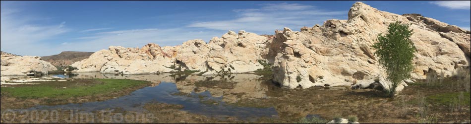
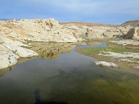 Black Butte Reservoir after a storm (view SE) |
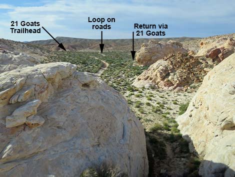
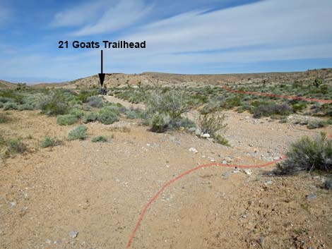
Overview The Falling Man, 21 Goats, Black Butte Dam Loop is a nice, 2.7-mile hike near Whitney Pocket that links together three interesting areas. Starting from the Falling Man Trailhead, the route passes through the Falling Man petroglyph area (0.4 miles), then continues on a use-trail to the 21 Goats petroglyph site (0.6 miles). From there, the route follows washes and another use-trail to Black Butte Dam (0.4 miles). Even when dry, Black Butte Dam is an interesting ranching-era site. Hikers can then return over the same route (1.4 miles) or continue the loop using an old, closed road and finally following Black Butte Road back to the trailhead (1.3 miles). The outbound route (Falling Man to 21 Goats and Black Butte Dam) is described elsewhere, but here photos and text describe one of the return routes: the loop that takes hikers from Black Butte Dam back to the Falling Man Trailhead via dirt roads. Link to hiking map. |
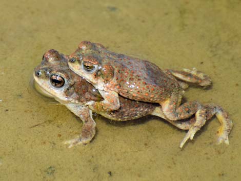 Red-spotted Toads fixing to make more in Black Butte Reservoir |
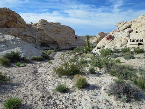
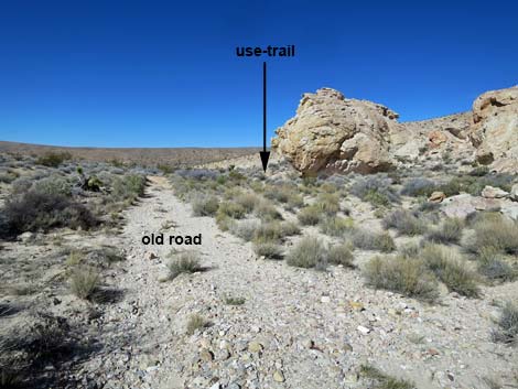
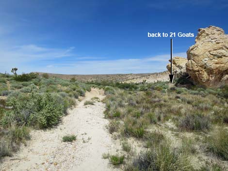
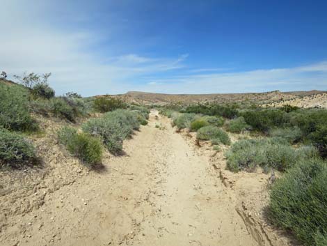
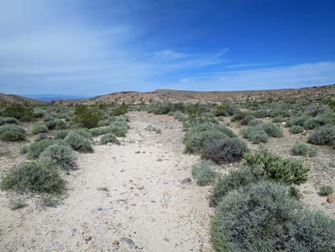
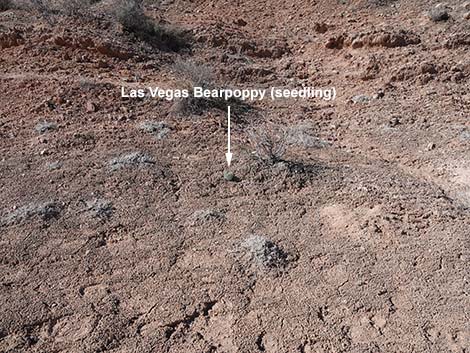
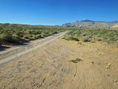
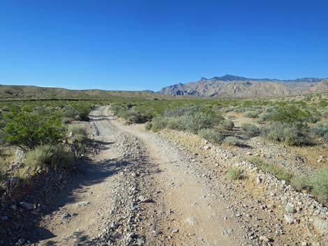
Departing Black Butte Dam, the loop route follows the old road away from the dam north to the gravel wash that was used during the hike in. This time, the route crosses the wash and continues more-or-less straight on the old road. Note that the 21 Goats Trailhead can be seen down the wash to the left (west); that is not on the route. The old road runs northwest and crosses a low ridge of gray gypsum soils (watch for the rare and beautiful Las Vegas Bearpoppy), then bends right to head northeast. The old road eventually runs out to the northeast end of a fenceline (Wpt. 09) and joins Black Butte Road at a small parking area with a bearpoppy information sign. Following Black Butte Road, the route runs north, northeast, and finally east as it passes more gypsum hill, sandstone crags, and returns to the Falling Man Trailhead parking area (Wpt. 01). Walking back, enjoy the grand scenery and interesting vegetation. Creosote bush and white bursage dominate the landscape, but look for Joshua trees and Mojave yucca, plus the uncommon Utah yucca. For details of this part of the hike, see Falling Man, 21 Goats, Black Butte Dam Loop Route. |
 Looking out from atop Black Butte Dam (view NW) |
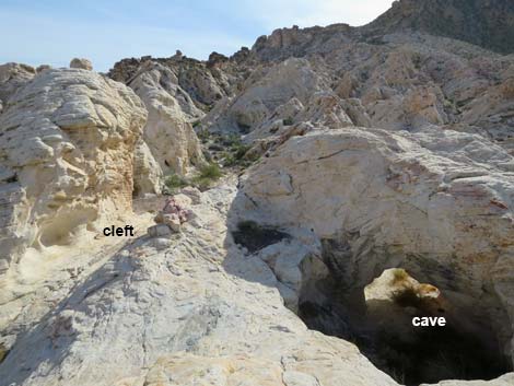 Departing the dam via cleft (left) or cave (right) (view SW) |
 Departing Black Butte Dam via the cleft (view N) |
 Departing Black Butte Dam (view N) |
 Hikers can return via the trail or loop back using the roads (view N) |
 Departing Black Butte Dam using the roads (view N) |
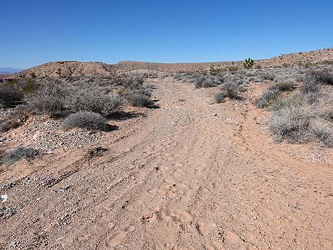
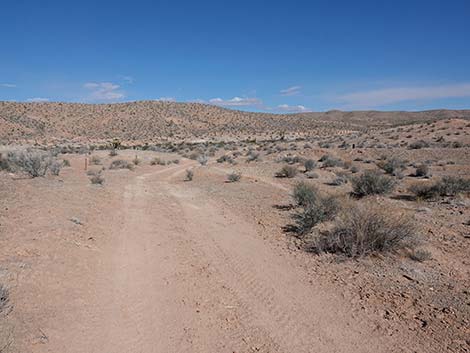
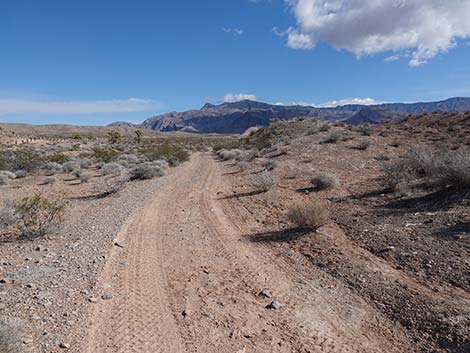
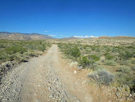
 The old road runs north (view N) |
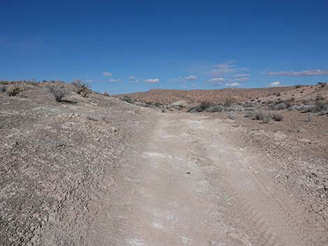
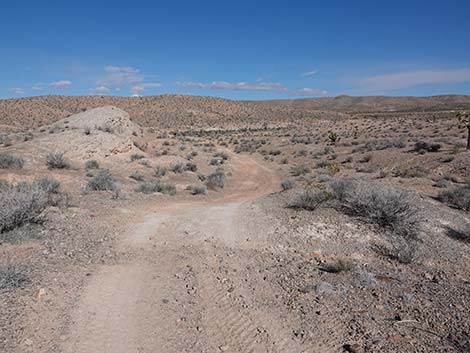
 Old road approaching Black Butte Wash (view NW) |
 Old road entering Black Butte Wash (view NW) |
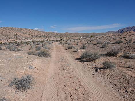
 Old road crosses Black Butte Wash (view N) |
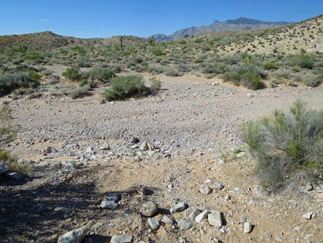
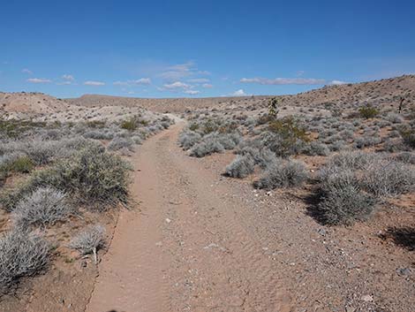
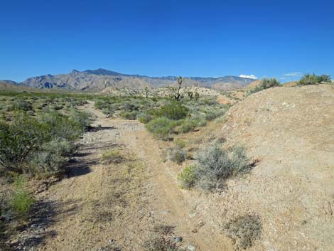
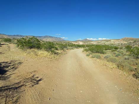
 Route crosses Black Butte Wash continuing on old road (view NW) |
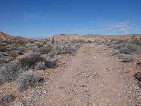
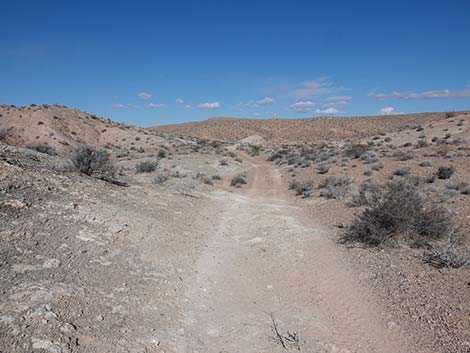
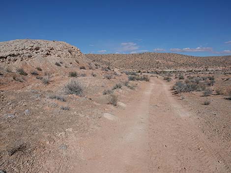
 Route follows old road into Bearpoppy habitat (view NW) |
 The old road crosses Black Butte Wash and continues (view NW) |
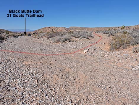
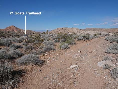 21 Goats Trailhead is visible from the old road (view NW) |
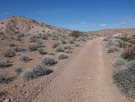
 Trail continues across alluvial soils towards gypsum habitat |
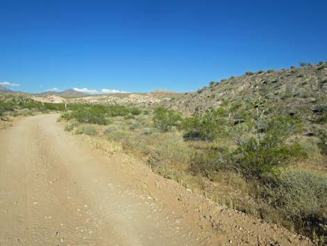
 The old road approaching Bearpoppy habitat (view NW) |
 One of the odd gypsum plants: Parry's Sandpaper Plant |
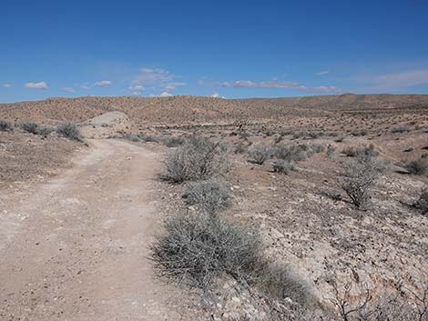
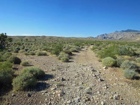
 Old road traversing Bearpoppy habitat (view NW) |
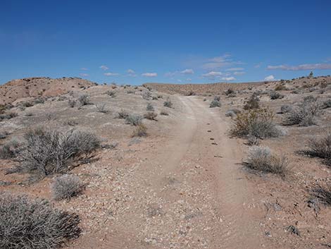
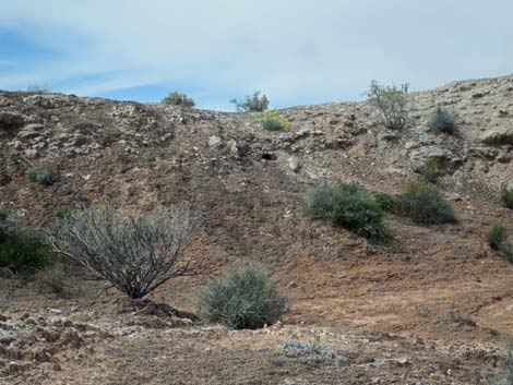
 High point in the gypsum habitat (view NW) |
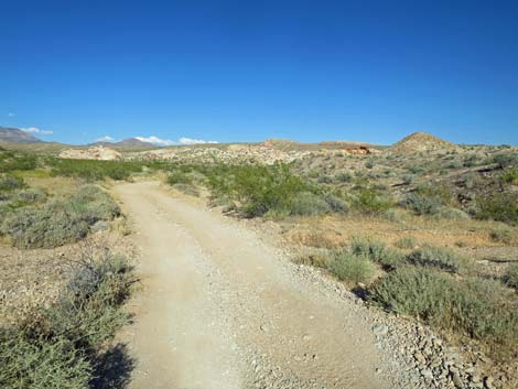
 Continuing through the gypsum hills (view NW) |
 Continuing through the gypsum hills (view NW) |
 View left: Bearpoppy in bloom and gypsum soils (view NE) |
 Continuing through the gypsum hills (view NW) |
 Approaching another gypsum outcrop (view NW) |
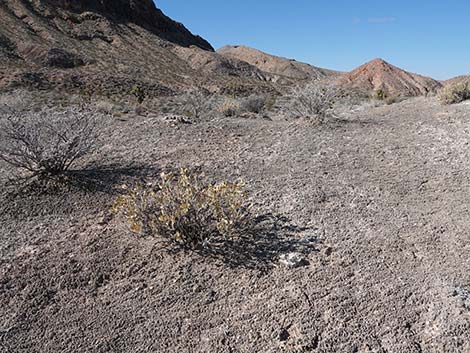
 Foot prints last forever on gypsum soils; Don't walk in for photos |
 Trail continues down towards the wash (view NW) |
 Trail markers on the left (view N) |
 Illegal tire tracks on closed road across Bearpoppy habitat (view NW) |
 Trail bends right (winter; view NE) |
 Trail bends right with nice view of Virgin Peak (winter; view NE) |
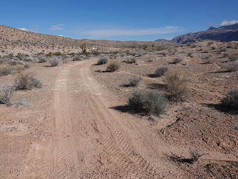
 Old road approaching a wash (view NE) |
 Old road crossing a wash (view NE) |
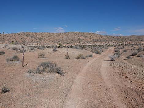
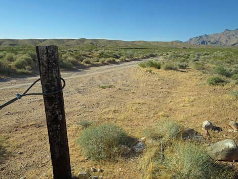
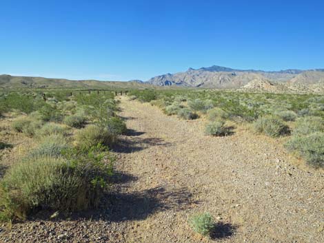 Post-and-cable fence along Black Butte Road comes into view |
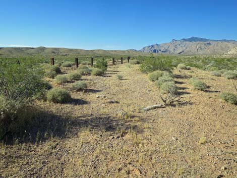 Old road runs along post-and-cable fence (view N) |
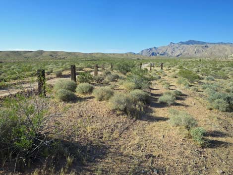 Old road approaching end of post-and-cable fence (view N) |
 Old road at end of post-and-cable fence (view N) |
 Passing around the end of the fence (view N) |
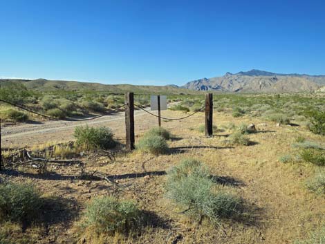
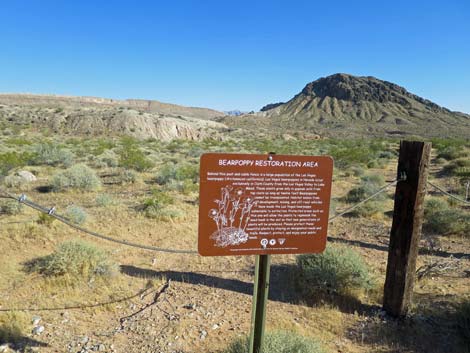 Bearpoppy habitat restoration sign (view SW) |
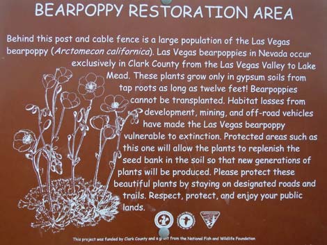 Bearpoppy habitat restoration sign (view SW) |
 Departing the small parking area onto Black Butte Road (view NE) |
 Black Butte Road (view N) |
 Black Butte Road (view NE) |
 Black Butte Road stays right at fork (view E) |
 Black Butte Road passing more Bearpoppy habitat (view E) |
 Black Butte Road (view E) |
 Black Butte Road (view E) |
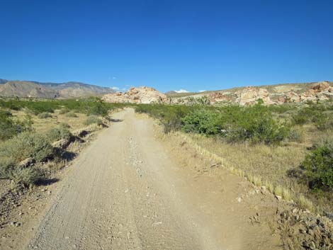
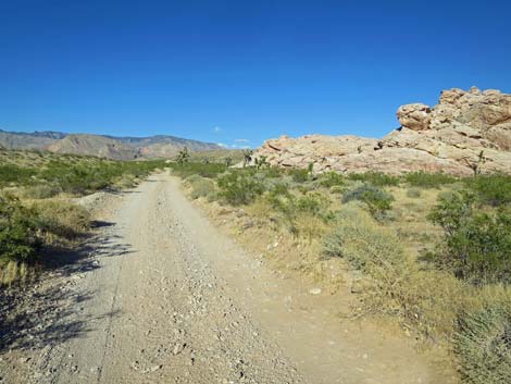 Black Butte Road passing sandstone crags (view NE) |
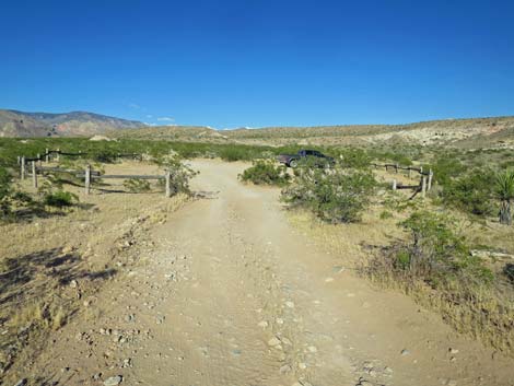 Black Butte Road arriving at Falling Man trailhead (view NE) |
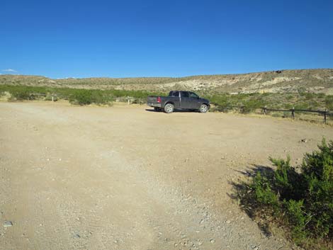 Black Butte Road at Falling Man trailhead (view NE) |
 More to come ... |
Table 1. Hiking Coordinates Based on GPS Data (NAD27, UTM Zone 11S). Download Hiking GPS Waypoints (*.gpx) file.
| Wpt. | Location | UTM Easting | UTM Northing | Elevation (ft) | Point-to-Point Distance (mi) | Cumulative Distance (mi) |
|---|---|---|---|---|---|---|
| 07 | Black Butte Dam | 751379 | 4042816 | 2,303 | 0.00 | 0.00 |
| 08 | Bearpoppy Road at Wash | 751262 | 4042956 | 2,266 | 0.19 | 0.19 |
| 09 | Bearpoppy Road at Black Butte Road | 751135 | 4043581 | 2,274 | 0.48 | 0.67 |
| 01 | Falling Man Trailhead | 752138 | 4044187 | 2,393 | 0.81 | 1.29 |
Happy Hiking! All distances, elevations, and other facts are approximate.
![]() ; Last updated 240325
; Last updated 240325
| Gold Butte | Rock Art | Hiking Around Las Vegas | Glossary | Copyright, Conditions, Disclaimer | Home |