
Hiking Around Las Vegas, Gold Butte National Monument

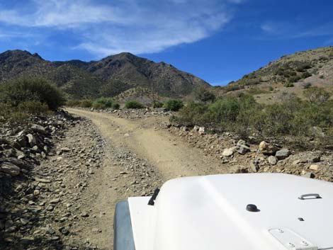 Cabin Canyon Road approaching Hen Spring Road (view SW) |
Overview Beer Can Fence is a local landmark where for years locals have hiked or ridden ATVs up Hen Spring Road to an old cattle fence. For whatever reason, someone hung a beer can on the fence, and a local tradition was born. The hike starts along Cabin Canyon Road where Hen Spring Road (a jeep trail) branches to the west. Following the jeep trail, hikers climb some 500 feet in 1.3 miles to the saddle at the head of the canyon, where the road is blocked by a barbed-wire fence. People can, of course, open the wire-gate fence and go on through, but hikers likely will turn around and head back down. After emptying an aluminum can and hanging it on the fence (be sure to bring a piece of wire), hikers can return via the jeep trail or make a loop by hiking down the bottom of the canyon to Cabin Canyon Road. From there, the trailhead is to the right, a short way up the road. Link to map. |
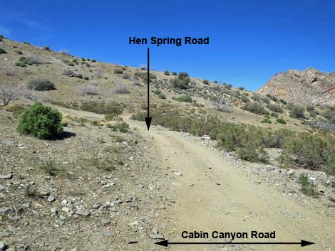 Cabin Canyon Road at Hen Spring Road (view W) |
Watch Out Other than the standard warnings about hiking in the desert, ... this hike is fairly safe, but there are places to stumble off the road and fall down the steep hillside. Otherwise, there are no unusual hazards on this hike. This is a wild and remote area without services of any kind (no restrooms, no water, no gas, no food). Bring what you need to survive. Be prepared and be self-reliant. Law enforcement occasionally patrols the area. Someone will find you eventually if you stay on a main road, but be prepared to survive alone for a day or two. Cell phones don't work on parts of this hike. While hiking, please respect the land and the other people out there, and try to Leave No Trace of your passage. Also, this is a very remote hike, so be sure to bring the 10 Essentials. |
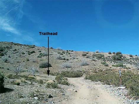 Approaching trailhead parking (view W) |
Getting to the Trailhead Beer Can Fence is located about 2 hours east of Las Vegas, in the wild, remote, and scenic northeast edge of Gold Butte National Monument. From Las Vegas, drive out Interstate-15 to Mesquite. Take Exit 120 onto Falcon Ridge Pkwy/W Mesquite Blvd, drive "straight" through the round-about, and continue 0.8 miles to a traffic light at Riverside Road. Turn right onto Riverside and drive south 1.1 miles, just across the Virgin River, to White Rock Road, on the left. Turn onto White Rock Road and drive east, then southeast for 1.1 miles to where the pavement curves left to become Scenic Road. Here, at the bend, Lime Kiln Canyon Road continues straight southeast onto the dirt. Continue on Lime Kiln Canyon Road for 2.1 miles to a cattle guard where the road forks. Cabin Canyon Road bends right following the powerlines. Continue south on Cabin Canyon Road for 6.1 miles to Hen Spring Canyon Road, on the right. Trailhead parking is about 30 yards up Hen Spring Canyon Road, on the left. |
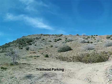 Trailhead parking (view W) |
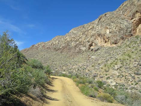
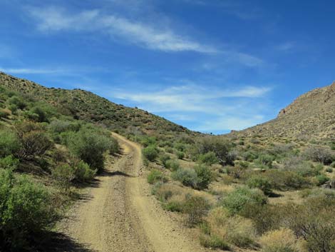
The Hike From the trailhead (Table 1, Waypoint 01), the route runs up Hen Spring Canyon Road. The road initially climbs steeply across the Cabin Canyon hillside, but then bends sharply around the corner into Beer Can Canyon. From there, the grades generally are more moderate. Now high above the bottom of Beer Can Canyon, hikers can look down into the wash and see the return route. Continuing up the road, the moderate grade gives time for the steep wash to "catch up" at about 0.4 miles out. Here, hikers can drop into the wash to seek shade on warm days. Continuing up the road, the grade steepens a bit and climbs at a rate greater than that of the wash, eventually leaving the wash far below. From many places along the road, the saddle at the head of the canyon can be seen, and eventually the road climbs onto the saddle. |
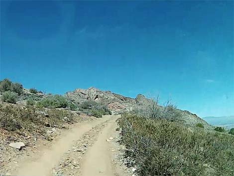 Departing the trailhead on Hen Spring Canyon Road (view N) |
At the saddle, hikers encounter Beer Can Fence (Wpt. 02), a barbed-wire fence that spans the canyon from one rocky ridge to the other. The fence was put in by ranchers to keep cattle from wandering at will through the area. For years, visitors have been adorning the fence with aluminum cans, hundreds of which now hang from the wires and posts. A sign announces: "Welcome to Budweiser Fence," but that name didn't catch on. After resting and perhaps emptying a can to add to the fence, hikers have two choices for the return trip. Hikers can return back down the road, which probably is easier walking, or they can drop into the wash and follow it downstream. |
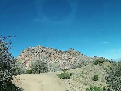 Approaching the ridgeline and sharp corner (view N) |
Heading east down the wash, hikers begin by bushwhacking 200 yards down the bottom of the canyon until the wash opens and hikers can walk on open sand and gravel. Eventually however, the wash seems to disappear, but then about 0.4 miles below the fence, the route passes enormous boulders and the wash joins with another wash, and together, they continue down the canyon. At about 1.37 miles below the fence, Been Can Canyon opens into Cabin Spring Canyon. Shortly, a major wash (part of Cabin Spring Canyon Wash) merges from the right (Wpt. 03). Here, the route turns right and heads upstream in the rocky wash until reaching Cabin Spring Canyon Road (Wpt. 04). Turing right again, the route follows the road uphill to Hen Spring Canyon Road (Wpt. 05), on the right. The vehicles and the trailhead are some 30 yards ahead (Wpt. 01). |
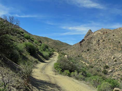 Turning the corner on Hen Spring Canyon Road (view W) Turning the corner on Hen Spring Canyon Road (view W) |
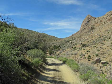 Hen Spring Canyon Road runs high above Beer Can Wash (view W) |
 Beer Can Wash rising to meet Hen Spring Canyon Road (view W) |
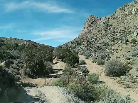 Hen Spring Canyon Road at Beer Can Wash (view W) |
 |
 |
 |
 |
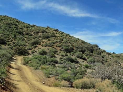 Hen Spring Canyon Road (view W) |
 Approaching the saddle (view W) |
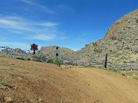 Approaching Beer Can Fence (view NW) |
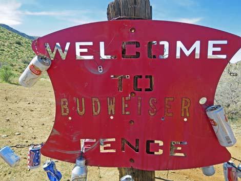 Budweiser sign on Beer Can Fence (view W) |
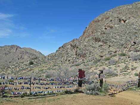 Beer Can Fence (view NW) |
 Beer Can Fence (view NW) |
 Hiker opening the gate at Beer Can Fence (view SW) |
 More to come ... |
Table 1. Hiking Coordinates and Distances based on GPS Data (NAD27; UTM Zone 11S). Download Hiking GPS waypoints (gpx) file.
| Wpt. | Location | UTM Easting | UTM Northing | Elevation (ft) | Point-to-Point Distance (mi) | Cumulative Distance (mi) |
|---|---|---|---|---|---|---|
| 01 | Trailhead | 761956 | 4062217 | 3,692 | 0.00 | 0.00 |
| 02 | Hen Spring Canyon Road at Beer-Can Fence | 760314 | 4061755 | 4,221 | 1.27 | 1.27 |
| 03 | Confluence of Washes | 762109 | 4062578 | 3,750 | 1.44 | 2.71 |
| 04 | Wash at Cabin Canyon Road | 762095 | 4062330 | 3,816 | 0.18 | 2.89 |
| 05 | Cabin Canyon Road at Hen Spring Road | 761987 | 4062204 | 3,688 | 0.14 | 3.03 |
| 01 | Trailhead | 761956 | 4062217 | 3,692 | 0.02 | 3.05 |
Happy Hiking! All distances, elevations, and other facts are approximate.
![]() ; Last updated 240325
; Last updated 240325
| Hiking Around Gold Butte | Hiking Around Las Vegas | Glossary | Copyright, Conditions, Disclaimer | Home |