
Hiking Around Las Vegas, Death Valley National Park

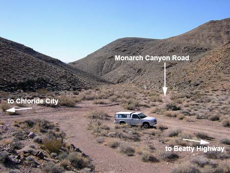 Chloride City Road at Monarch Canyon Road (view SW) |
Overview Monarch Canyon is a nice, 1.1-mile hike down a rugged canyon to a small spring in the Death Valley Wilderness Area. The route passes several pour-overs, some interesting geology, and a well-preserved historical stamp mill and other mining debris along the way. The hike starts from the end of Monarch Canyon Road (or Chloride Road) and simply runs down Monarch Canyon to the spring. There is also a pretty little side canyon to explore from the lower trailhead. Don't plan to drink water from the spring. Hikers can continue a short way past the spring to a high pour-over with a view out over the Mesquite Flats Sand Dunes in the bottom of Death Valley. Link to trailhead access map or hiking map. |
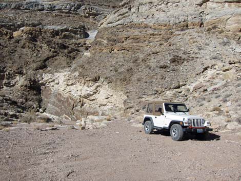 Lower trailhead parking in Monarch Wash (view W) |
Watch Out Other than the standard warnings about hiking in the desert, there are no particular dangers on this route. The pour-overs are easy to pass, but be careful. Stay off the stamp mill and the other mining structures, and it is never safe to enter old mine openings. While hiking, please respect the land and the other people out there, and try to Leave No Trace of your passage. Also, although this hike is short, the area is remote, so be sure to bring the 10 Essentials. Getting to the Trailhead This hike is located in Death Valley National Park, about 2-1/4 hours northwest of Las Vegas. From the Furnace Creek Visitor Center, drive north and then east towards Beatty to Chloride Road. Drive east on Chloride Road about 2.2 miles to a fork in Monarch Wash. Turn right onto Monarch Road and drive southwest for 0.7 miles to the end of the roadway. For hikers arriving from Beatty, Chloride Road is 2.7 miles west of Daylight Pass. |
 Looking down into Monarch Canyon (view S) |
The Hike From the trailhead (Table 1, Waypoint 1), look over the edge of the pour-over and enjoy the view. There is some interesting folding and banding in the walls of the canyon below the pour-over. An old mining trail leads around the pour-over to the left and steeply down the south side of Monarch Canyon. The miners did some nice rockwork shoring up the edge of the trail. The miner's trail starts out wide enough for a vehicle, but it quickly gets narrower and narrower, and then it ends just above the bottom of the canyon. The last of the hand-made road washed away, so just scramble down the last few feet of cliff to the bottom of the Monarch Wash. The miner's trail ends just above a short pour-over formed by a layer of reddish, nicely polished, conglomerate rock. There is a seep just above the pour-over, and this spot is choked with the invasive common reed and rabbitbrush. A trail runs around the pour-over on the north side of the canyon. |
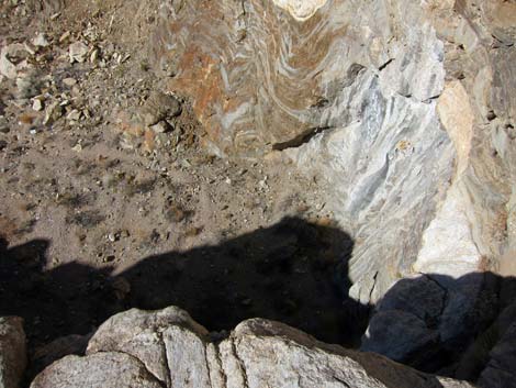 Top of the high pour-over (view down) |
Beyond the seep, Monarch Wash is well vegetated with lots of rabbitbrush, some paperbag bush, brittlebush, white bursage, and a few turpentinebroom. For the most part, the bottom of the canyon is an open wash that makes for easy walking. The sides of the canyon are steep hillsides and cliffs with a bit of desert fir and barrel cactus. About 10 minutes below the second pour-over, the remains of a well-preserved single-stamp mill operation can be seen clinging to the south side of the canyon. Just before arriving at the mill, there are about 6 lengths of ore car track lying up against the cliff, suggesting that the mine was extensive. Continuing down Monarch Wash, hikers quickly arrive at the remains of Monarch Mill (Wpt. 2), a well-preserved single-stamp mill operation that clings to the south side of the canyon. The miners built a long wooden chute that starts on a bench high above the mill and runs down over the cliff to a hopper just above the mill. They poured ore down chute into a hopper. The chute and hopper are in pretty good shape, and much of the stamp mill remains intact. There is a fair bit of ore in the chute too, but I didn't see any big chunks of gold -- lots of mica, but no gold. |
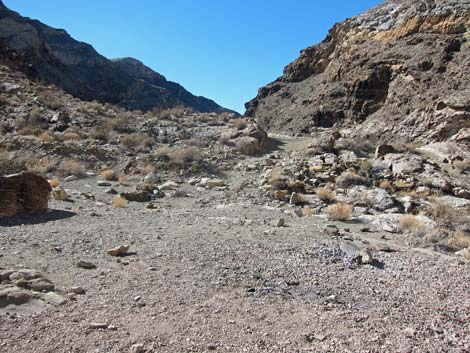 Miner's trail starts left of the high pour-over (view S) |
Monarch Mine, not visible from the wash, sits high in the cliffs back from the top of the chute. A miner's trail runs steeply up the west side of the mill to the top of the ore chute, and then back to the mine (Wpt. 3). No mine is safe, and the entrance of this one is collapsing, but it seemed safe enough to enter briefly. Be careful around the mining structures to avoid damaging them or causing cave-ins. Back in Monarch Wash, continuing down from the mill, the canyon jogs to the right and passes more water-polished conglomerate rock in the bottom of the wash. Just before the wash bends back to the left, a miner's trail exits the wash to the left onto a low bench. Crossing the bench, there are more remains of mining activity (Wpt. 4) where construction materials are scattered about (Monarch Cabin). These include several bundles of 1x4s (some of which are 12-ft long) 2x4s, 1x12s, some pipes, and even a broken porcelain toilet. It is hard to tell, but it looks as if someone intended to build a cabin here. |
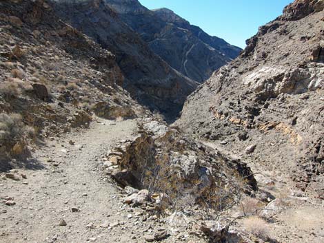 Miner's trail starts out wide (view S) |
At the next bend in Monarch Canyon (to the right), the wash is choked with common reed, rabbitbrush, saltbush, and a few other species. The vegetation hides Monarch Spring, but hikers can follow animal trails into the bush to find the water, which runs near the south side of the canyon. There is also a miner's cabin or storeroom in a small cave (Wpt. 05) on the hillside just above the spring (Monarch Cave). It looks like a shallow rock shelter that someone closed off with a wooden wall. The door is missing, but there are vents with screen in the wall above door. There is some broken plate glass, so perhaps there was a window in the door. Inside, tables or benches were built around the edges where a person of small stature could have slept. Below Monarch Spring, the canyon is choked with vegetation for the next 0.3 miles. Hikers can crash though the vegetation to hike farther down the canyon, but a high pour-over (Wpt. 06) blocks further progress for hikers without rappel gear. Return to the trailhead by hiking back up the canyon. |
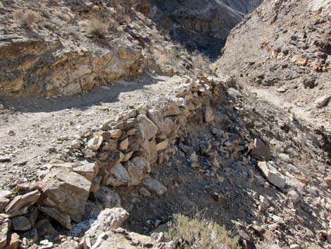 Stonework shores up the side of the Miner's trail (view S) |
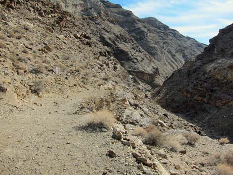 The Miner's trail narrows (view S) |
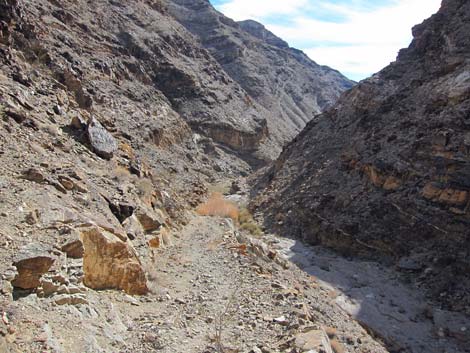 Narrow Miner's trail descends into the canyon (view S) |
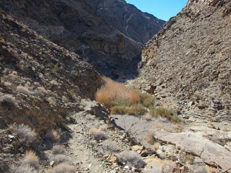 Narrow Miner's trail descends into the canyon (view S) |
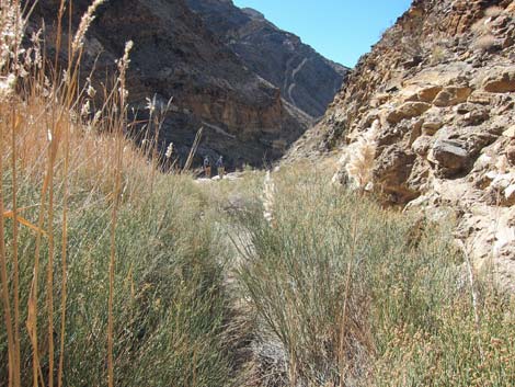 Brush thicket in the bottom of the canyon (view S) |
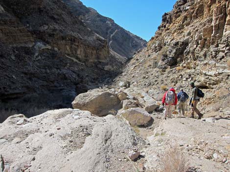 Hikers bypassing a pour-over (view S) Hikers bypassing a pour-over (view S) |
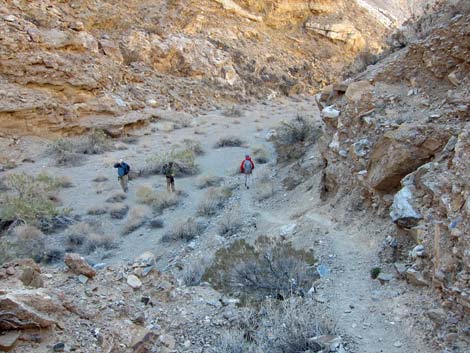 Hikers below the pour-over (view S) |
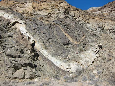 Remarkable geology (view W) |
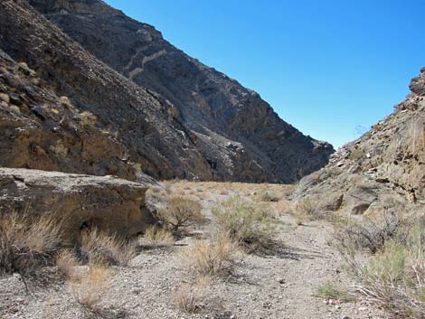 Route runs down a broad wash (view SW) |
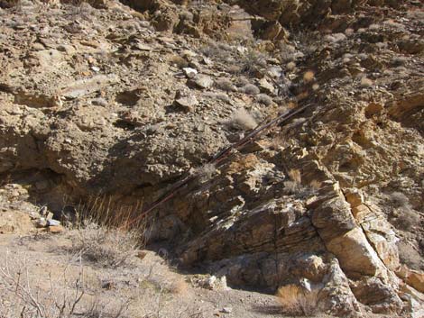 Ore car tracks stacked on the side of the canyon (view SE) |
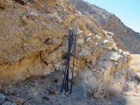 Ore car tracks stacked on the side of the canyon (view SW) |
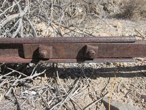 Ore car track on the ground |
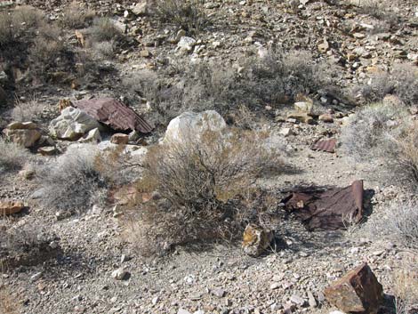 Mining debris |
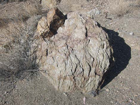 Layered metamorphic boulder in the wash |
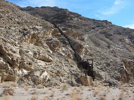 Approaching the 1-stamp mill and ore chute (view S) |
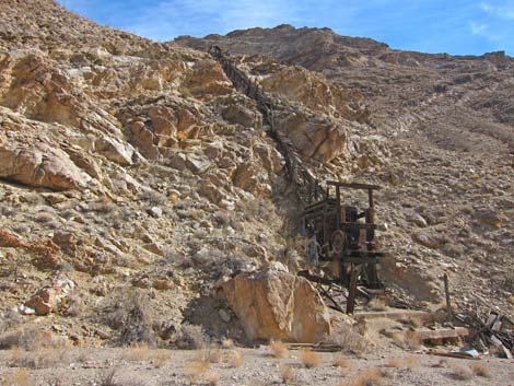 In Monarch Wash, approaching the stamp mill (view SE) |
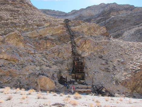 In Monarch Wash, approaching the stamp mill (view E) |
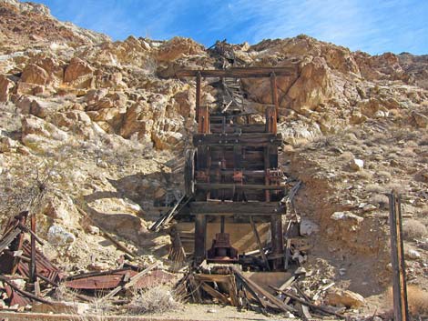 Stamp mill and ore chute (view SE) |
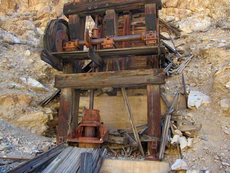 Stamp mill (view SE) |
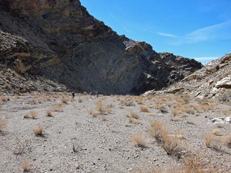 Hikers continuing down Monarch Wash (view SW) |
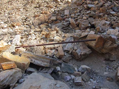 Old water pipe on the edge of the wash (view SE) |
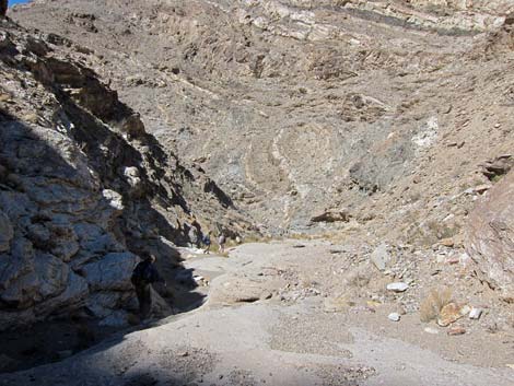 Wash bottom with flat conglomerate base (view NW) |
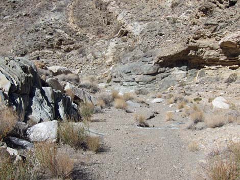 Monarch Wash bends to the left (view NW) |
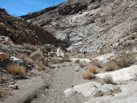 Monarch Wash (view SW) |
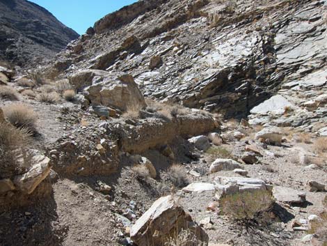 Miner's trail exits Monarch Wash to the left (view S) |
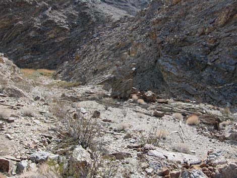 Stacked construction materials at Monarch Cabin site (view S) |
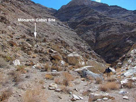 Hikers continuing down the wash bypassing the cabin site (view SW) |
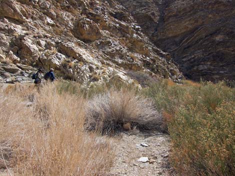 More shrub thickets (view S) |
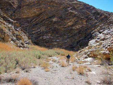 Hikers approaching Monarch Spring (view S) |
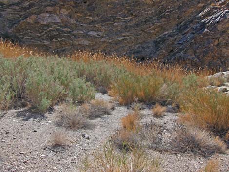 More shrub thickets (view S) |
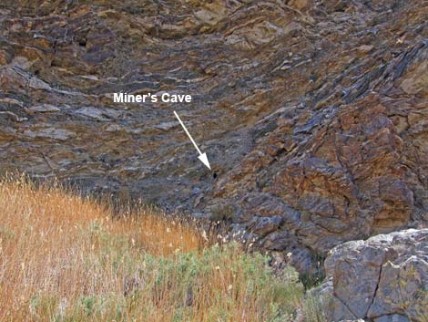 Miner's Cave is visible above the spring area (view S) |
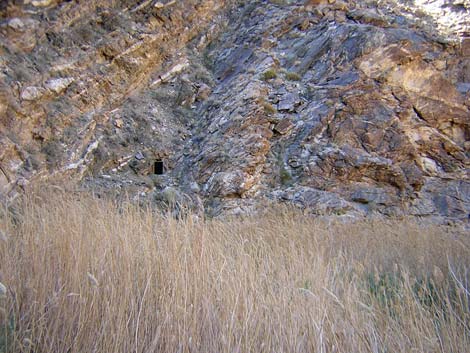 More shrub thicket at the spring (view S) |
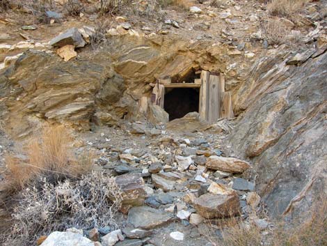 Miner's Cave is visible above the spring area (view S) |
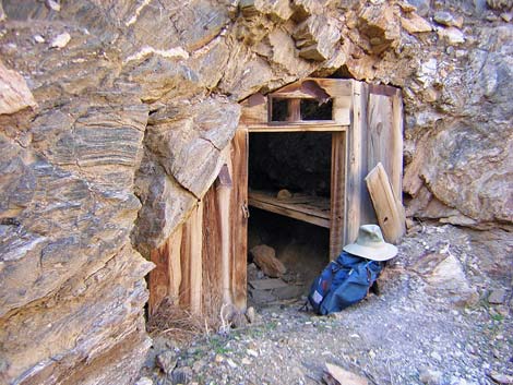 Miner's Cave (cabin or store room; view S) |
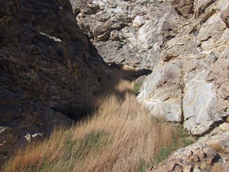 Below the spring, the canyon is choked with vegetation (view NW) |
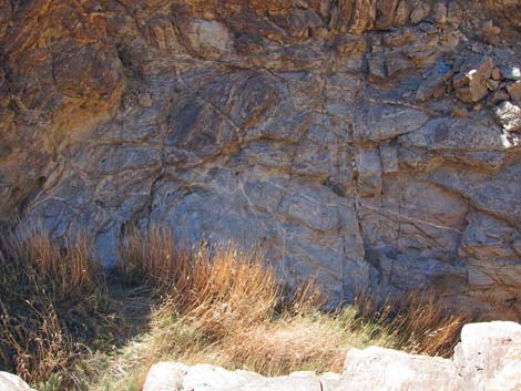 Use-trail continues down the canyon (view S) |
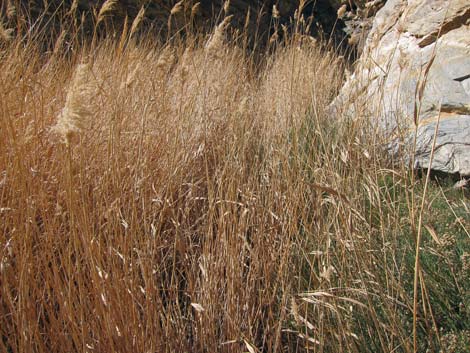 This reeds (view NW) |
 Animal trail leads into thick reeds (view NW) |
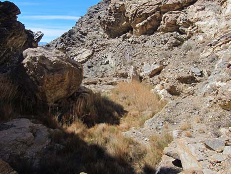 Monarch Wash (view NW) |
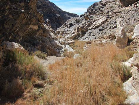 Monarch Wash (view SW) |
 Monarch Wash (view SW) |
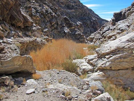 Monarch Wash (view SW) |
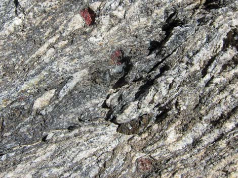 Semiprecious stones in the metamorphic bedrock |
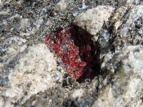 Low-grade ruby embedded in the bedrock |
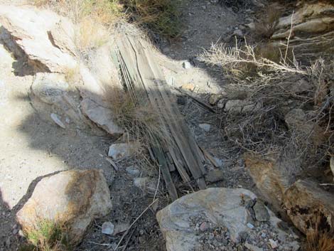 Another bundle of boards |
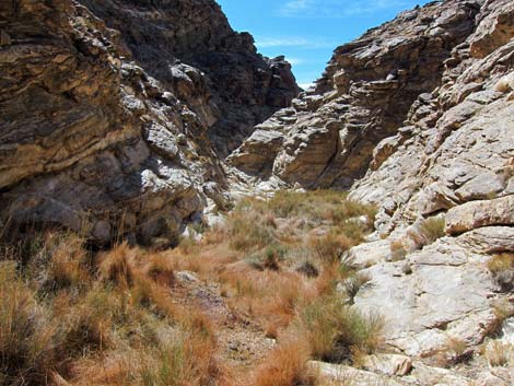 Monarch Wash (view SW) |
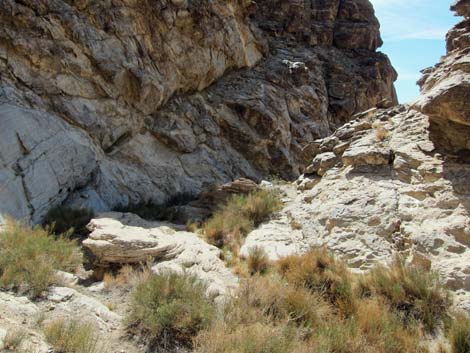 Monarch Wash (view SW) |
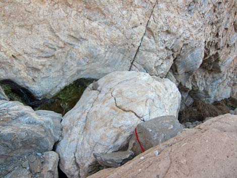 Water-polished boulder with red sling left after a rappel |
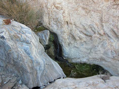 Pool of water at the edge of the pour-over |
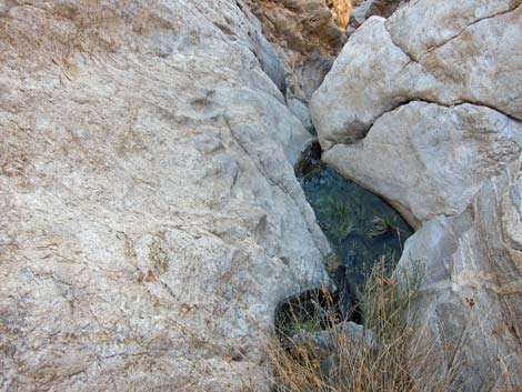 Pool of water at the edge of the pour-over |
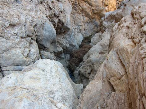 Canyon below the pour-over (view SW) |
 Monarch Canyon (view SW into Death Valley) |
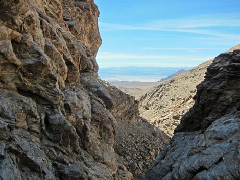 Monarch Canyon (zoom view SW into Death Valley) |
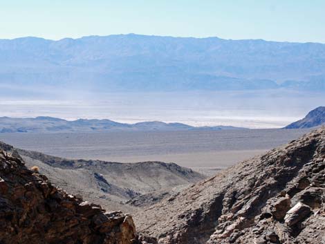 Monarch Canyon (zoom view SW into Death Valley) |
Table 1. Hiking Coordinates based on GPS data (NAD27; UTM Zone 11S). Download Hiking GPS Waypoints (*.gpx) file.
| Wpt. | Location | UTM Easting | UTM Northing | Elevation (ft) | Point-to-Point Distance (mi) | Cumulative Distance (mi) |
|---|---|---|---|---|---|---|
| 01 | Monarch Canyon Trailhead | 507498 | 4064674 | 3,465 | 0.00 | 0.00 |
| 02 | Monarch Mill | 507324 | 4064189 | 3,105 | 0.37 | 0.37 |
| 04 | Monarch Cabin | 507002 | 4064012 | 2,981 | 0.28 | 0.65 |
| 05 | Monarch Cave | 507037 | 4063787 | 2,941 | 0.19 | 0.84 |
| 06 | Top of Pour-Over | 506787 | 4063681 | 2,746 | 0.29 | 1.13 |
| 01 | Monarch Canyon Trailhead | 507498 | 4064674 | 3,465 | 1.13 | 2.26 |
| . | . | . | . | . | . | . |
| 03 | Monarch Mine | 507389 | 4064087 | 3,294 | . | . |
| 07 | End of Route | 507841 | 4064542 | 3,158 | . | . |
Happy Hiking! All distances, elevations, and other facts are approximate.
![]() ; Last updated 240324
; Last updated 240324
| Death Valley | Hiking Around Las Vegas | Glossary | Copyright, Conditions, Disclaimer | Home |