
Hiking Around Las Vegas, Death Valley National Park

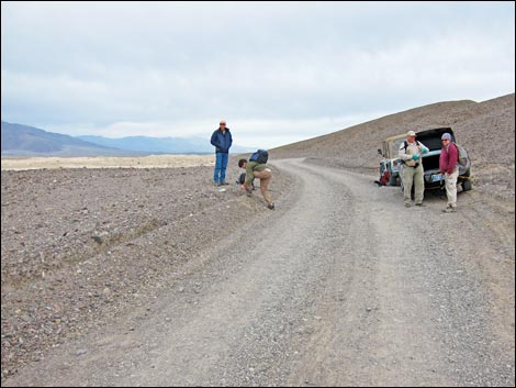 Hikers at trailhead on Mustard Canyon Road (view N) Hikers at trailhead on Mustard Canyon Road (view N) |
Overview This is a 4-mile round-trip, off-trail hike that visits historic sites where men, mostly Chinese laborers, toiled under the desert sun to harvest borax (cottonball borate ore) from the salt flats during the 1880s. Fortunately, when temperatures were too hot, the manufacturing process didn't work, and the men moved to somewhat cooler operations. The salt pan remains a flat, lifeless, bright-white, and shade-free area, so take note and stay away during warm weather. Also, the salt flats flood after rain storms, so stay off the area when the ground is soft. Above all, do not walk into the historic work areas as footprints in and around these sites will damage the work sites and mar the surrounding scenery for years. Most of the salt works (borax haystacks) sites are readily apparent in aerial photos, but they are remarkably difficult to see on the ground until you are right on them, so GPS coordinates and binoculars are particularly helpful. Link to map. A note about color-corrected photos. |
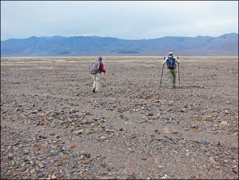 Hikers departing the trailhead |
Watch Out Other than the standard warnings about hiking in the desert, ...this is an entirely safe hike. It is, however, worth reiterating that the salt pan is a flat, lifeless, bright-white, and shade-free area, so take note and stay away during warm weather. Be sure to wear a hat and bring water and sunglasses. Also, the salt flats flood after rain storms, so stay off the salt when the ground is too soft. If you can see any water in the Cottonball Basin, don't do this hike. Above all, do not walk into the historic work areas as footprints in and around these sites will damage the historic sites and mar the surrounding scenery for years. While hiking, please respect the land and the other people out there, and try to Leave No Trace of your passage. Also, even though this hike is short, be sure to bring the 10 Essentials. |
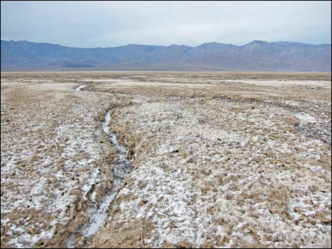 Salt crust begins |
Getting to the Trailhead This hike is located in Death Valley National Park, about 3.5 hours northwest of Las Vegas. From town, drive out to Death Valley. From the Furnace Creek Visitor Center (Table 1, Site 0712), drive north on Highway 190 for about 1.3 miles to Harmony Borax Road (Site 0534). Watch for signs to the Borax Works. Turn left (west) onto the paved Harmony Borax Road and drive out, passing the Harmony Borax parking lot on the left and continuing onto the dirt Mustard Canyon Road. From the pavement, drive 0.6 miles to a wide spot in the road. (Site 1487). Park here; this is the trailhead. For hikers who do not want to drive in the dirt, which is one-way and forces drivers to continue out through Mustard Canyon, park in the paved Harmony Borax Works parking lot and walk downhill in the wash along the base of the Borax Works hillside until venturing out into the flat areas following the salt-creek highways (see the map). |
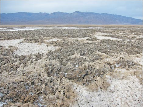 Salt crust thickens |
The Hike From the trailhead (Table 2, Waypoint 01), the route runs out on the gravel heading slightly south of west. At about 0.31 miles (Wpt. 02), various rills in the crusty mud converge into what looks like a salt creek and serves as a highway. In this area, the mud-encrusted salt becomes highly irregular and difficult to walk on, so finding a salt creek makes walking much easier. Following the salt creek for most of a mile, the salt creek flows into a long, narrow salt pond (Wpt. 03). Just like water pond, the salt pond has an outflow (Wpt. 04) which flows on towards the salt lake, or at least into a bay along the edge of the salt lake (Wpt. 05). Continuing out across the salt bay (Wpt. 06), the route finally flows out onto the salt sea: the vast Death Valley Salt Flats (Wpt. 07). |
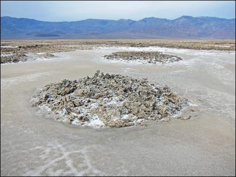 Salt crust islands in a "salt pond" |
Out on the salt flats, there are a number of historic salt works sites. The nearest is along the shore of the salt sea (Wpt. 08), about 0.1 miles south. This site is a series of rows of salt-encrusted mud piles with the remains of one old sign post. Although less sensitive than other sites, be sure to stay outside the work area. Walking out on the salt pan, hikers will encounter a series of salt pits near the shoreline. Here, workers dug pits, apparently to collect water and concentrate the borax ore. The mud mounds from their diggings have long since washed or blown away, but the circular pits, now full of silt and salt, stretch across the salt flats like row upon row of salt pancakes. When walking on the salt flats in this area, if the surface is wet and muddy, it would be better to turn back and stay off the salt flats because the mud and muck will get worse farther out. Continuing farther out onto the salt, hikers will encounter a series of ridges and furrows (Wpt. 09). Here, workers dug trenches to collect and concentrate salty water. Remnants of the ridges remain, but the furrows have filled in. As before, don't mar the historic site with footprints. |
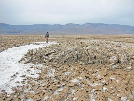 Hiker following salt stream Hiker following salt stream |
Continuing even farther out onto the salt, hikers will encounter another series of ridges and furrows (Wpt. 10), this one better preserved that the last. Turning north to make a loop, hikers will encounter a large area of salt pancakes (Wpt. 11), and turning back to the east, the edge of the salt pancakes can be followed for a long distance (past Wpt. 12). In fact, much of the area for about 0.2 miles north of the line between Wpt. 11 and Wpt. 12 is covered with salt pancakes. It would be best for hikers to stay out of this area, especially when the salt is wet and soft. Continuing east, hikers can exit the salt pan (Wpt. 07) hiking back through the salt bay (Wpt. 06, Wpt. 05) and up the salt creek en route to the trailhead (Wpt. 01). |
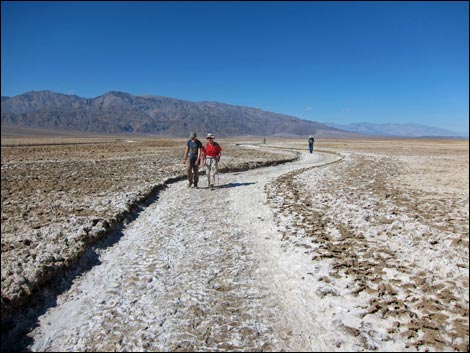 Hikers in the salt creek |
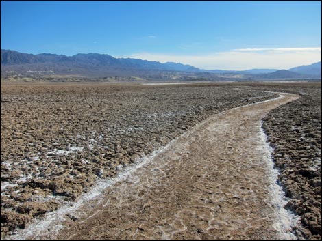 Salt creek |
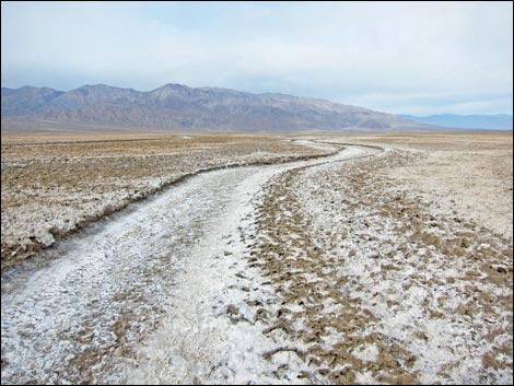 Salt creek |
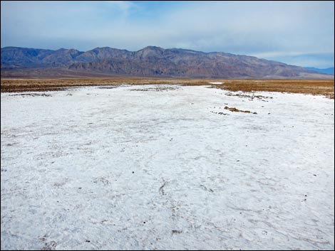 Salt pond |
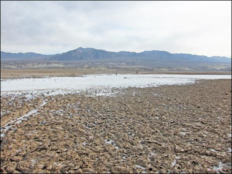 Hikers crossing the salt pond |
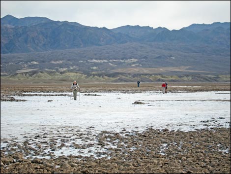 Hikers crossing salt pond |
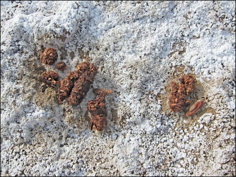 Coyote scat (date pits from Furnace Creek) on salt flat |
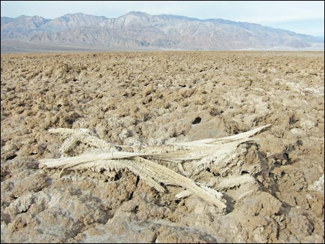 Piece of wood on salt crust |
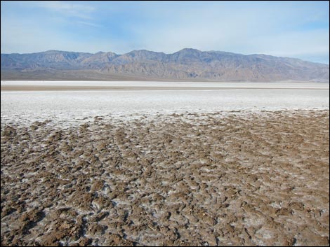 Edge of Death Valley Salt Flats (shoreline of the salt sea) |
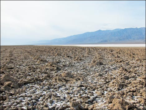 Historic salt works (notice ridges) outside salt flats |
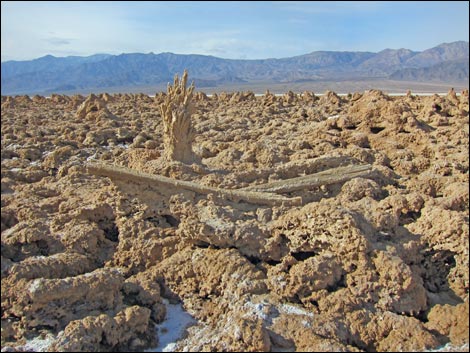 Piece of wood at salt works (old sign post?) |
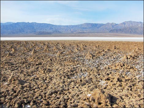 Historic salt works (notice hillocks) outside salt flats |
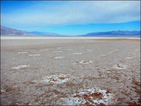 Historic salt works (notice hillocks) on the salt flats |
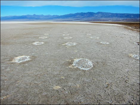 Historic salt works (salt pancakes) |
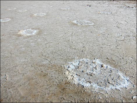 Historic salt works (flattened hillocks) on salt flats |
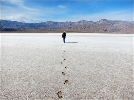 Hikers leave marks, so stay off the historic salt works sites |
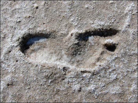 Human footprint |
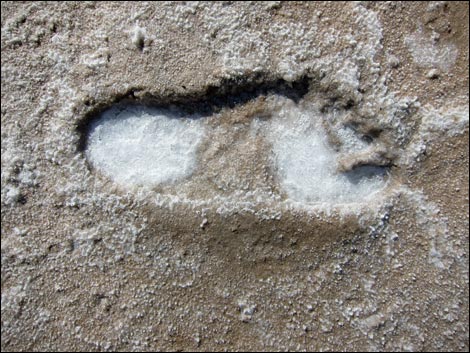 Human footprint collecting salt |
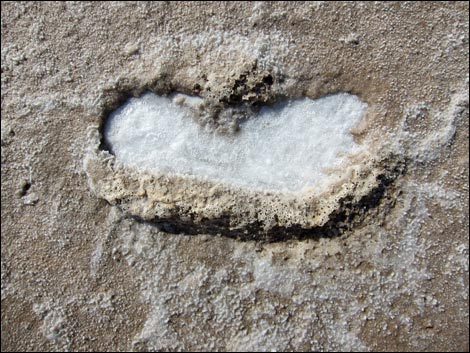 Human footprint filling in with salt |
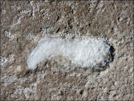 Human footprint entirely filled with salt |
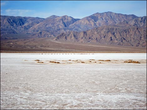 Historic salt works (ridge and furrow) on salt flats |
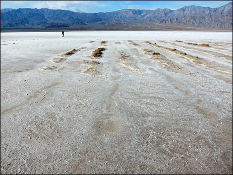 Historic salt works (ridge and furrow) on salt flats |
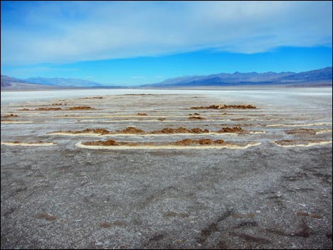 Historic salt works (ridge and furrow) on salt flats |
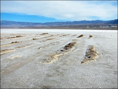 Historic salt works (ridge and furrow) on salt flats |
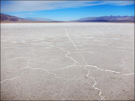 Surface texture of the salt flat |
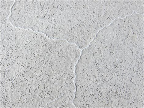 Surface texture of the salt flat |
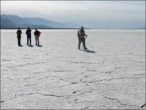 Hikers and surface texture of the salt flat |
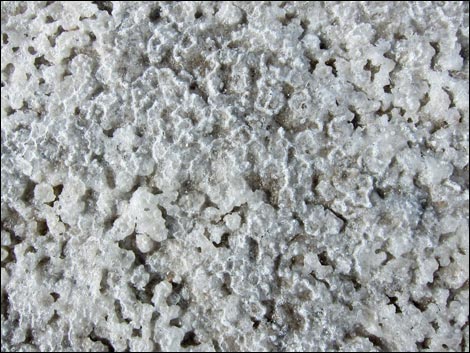 Surface texture of the salt flat |
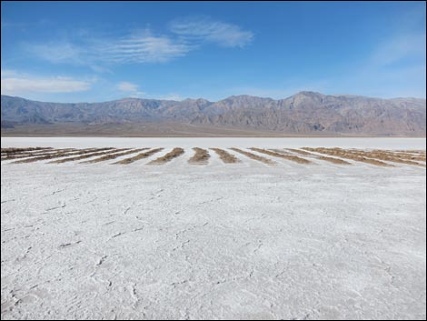 Historic salt works (ridge and furrow) on salt flats |
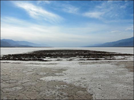 Historic salt works (ridge and furrow) on salt flats |
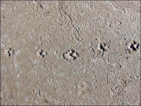 Coyote tracks in salty mud |
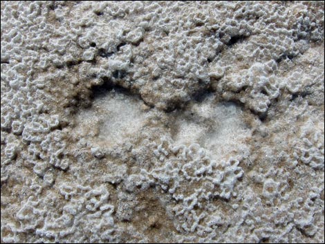 Coyote tracks in salty mud |
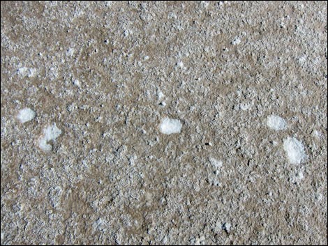 Bunny tracks in salty mud |
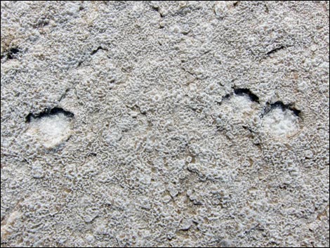 Bunny tracks in salty mud |
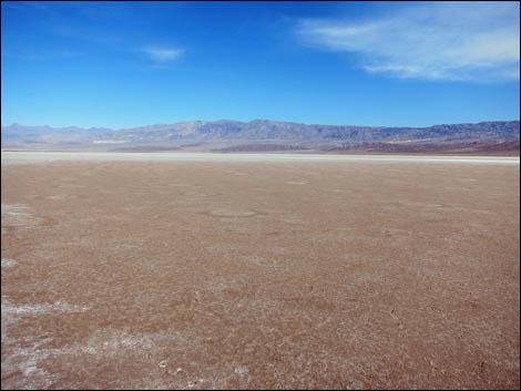 Historic salt works (salt pancakes) on salt flats |
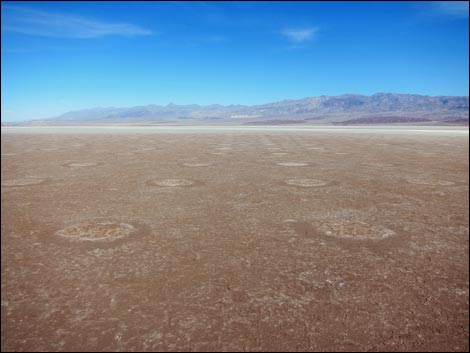 Historic salt works (salt pancakes) on salt flats |
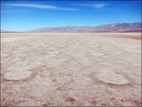 Historic salt works (salt pancakes) on salt flats |
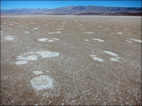 Historic salt works (salt pancakes) on salt flats |
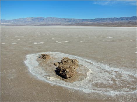 Historic salt works (hillock) on salt flats |
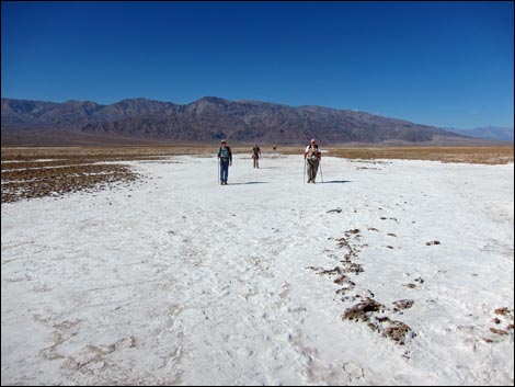 Hikers departing the salt flats |
Table 1. Highway Coordinates based on GPS Data (NAD27; UTM Zone 11S). Download Highway GPS Waypoints (*.gpx) file.
| Site | Location | UTM Easting | UTM Northing | Latitude (N) | Longitude (W) | Elevation (ft) | Verified |
|---|---|---|---|---|---|---|---|
| 0534 | Hwy 190 at Harmony Borax Rd | 511765 | 4037006 | 36.48009 | 116.86866 | -262 | Yes |
| 0712 | Furnace Creek Visitor Center | 512030 | 4034954 | 36.46159 | 116.86574 | -186 | Yes |
| 1487 | Harmony Salt Flats Trailhead Parking | 510916 | 4037830 | 36.48753 | 116.87813 | -271 | GPS |
Table 2. Hiking Coordinates and Distances based on GPS Data (NAD27; UTM Zone 11S). Download Hiking GPS Waypoints (*.gpx) file.
| Wpt. | Location | UTM Easting | UTM Northing | Elevation (ft) | Point-to-Point Distance (mi) | Cumulative Distance (mi) | Verified |
|---|---|---|---|---|---|---|---|
| 01 | Trailhead | 510913 | 4037822 | -271 | 0.00 | 0.00 | GPS |
| 02 | Salt Creek | 510495 | 4037677 | -288 | 0.31 | 0.31 | GPS |
| 03 | Enter Salt Pan | 509346 | 4037947 | -280 | 0.79 | 1.10 | GPS |
| 04 | Enter Salt Creek | 509252 | 4038091 | -281 | 0.11 | 1.21 | GPS |
| 05 | Enter Salt Pan | 509024 | 4038158 | -284 | 0.17 | 1.38 | GPS |
| 06 | Salt Pan | 508918 | 4038086 | -283 | 0.08 | 1.46 | GPS |
| 07 | Edge of Salt Flats | 508796 | 4038054 | -278 | 0.08 | 1.54 | GPS |
| 08 | Salt Works Stacks | 508831 | 4037934 | -278 | 0.09 | 1.63 | GPS |
| 09 | Salt Works Rows | 508537 | 4037846 | -278 | 0.19 | 1.82 | GPS |
| 10 | Salt Works Furrows | 508351 | 4037801 | -276 | 0.13 | 1.95 | GPS |
| 11 | Salt Works Pancakes | 508239 | 4037971 | -274 | 0.14 | 2.09 | GPS |
| 12 | Salt Works Pancakes | 508403 | 4038044 | -278 | 0.13 | 2.22 | GPS |
| 07 | Edge of Salt Flats | 508796 | 4038054 | -278 | 0.28 | 2.50 | GPS |
| 06 | Salt Pan | 508918 | 4038086 | -283 | 0.08 | 2.58 | GPS |
| 05 | Enter Salt Pan | 509024 | 4038158 | -284 | 0.08 | 2.66 | GPS |
| 04 | Enter Salt Creek | 509252 | 4038091 | -281 | 0.17 | 2.83 | GPS |
| 03 | Depart Salt Creek | 509346 | 4037947 | -280 | 0.11 | 2.94 | GPS |
| 02 | Salt Creek | 510495 | 4037677 | -288 | 0.79 | 3.73 | GPS |
| 01 | Trailhead | 510913 | 4037822 | -271 | 0.31 | 4.04 | GPS |
Happy Hiking! All distances, elevations, and other facts are approximate.
![]() ; Last updated 240324
; Last updated 240324
| Death Valley | Hiking Around Las Vegas | Glossary | Copyright, Conditions, Disclaimer | Home |