Backroads Around Las Vegas, Basin and Range National Monument
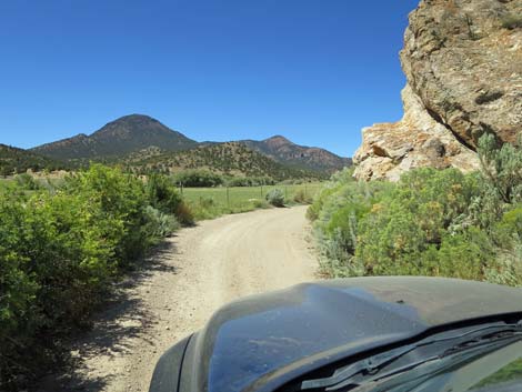
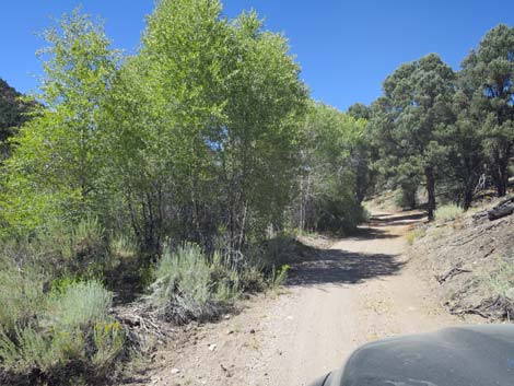
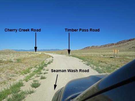 Seaman Wash Road at Cherry Creek and Timber Pass roads (view NW) |
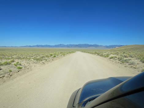
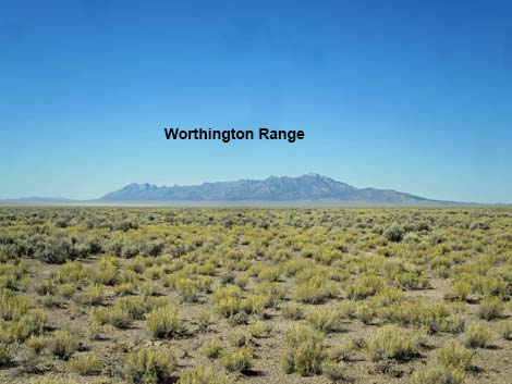
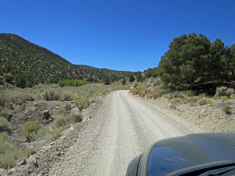
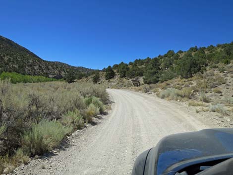
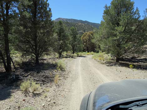
Overview Cherry Creek Road is a well-maintained dirt road that normally is suitable for 2WD vehicles. The road runs across Garden Valley between Water Gap (Golden Gate Range) on the east and Cherry Creek (Quinn Canyon Range) on the west. The road continues into the Quinn Canyon Range, passing ranching families and summer houses, the historic townsite of Adaven, and a small campground, and then exits over the mountains into Railroad Valley. |
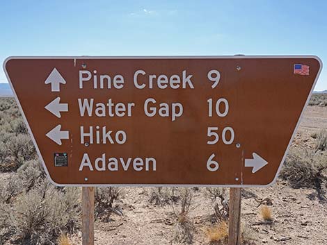
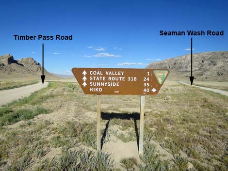 Looking back at highway sign at the intersection (view E) |
Watch Out Other than the standard warnings about driving in the desert, ...this road is pretty safe, but be sure that your vehicle is in good working condition, carry plenty of water (radiator and drinking), and pack a lunch. Always drive carefully; even though the road is well maintained, there are occasional hazards such as errant boulders in the roadway and mud puddles after heavy rains. When the road starts into the Quinn Canyon Range, parts are narrow with precipitous drop-offs and blind corners, and one spot has a one-lane bridge, so drive extra carefully in that area. There are more blind corners up the canyon. While out, please respect the land and the other people out there, and try to Leave No Trace of your passage. This road goes into remote areas, so be sure to bring the 10 Essentials. Cell phones don't work. |
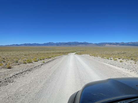
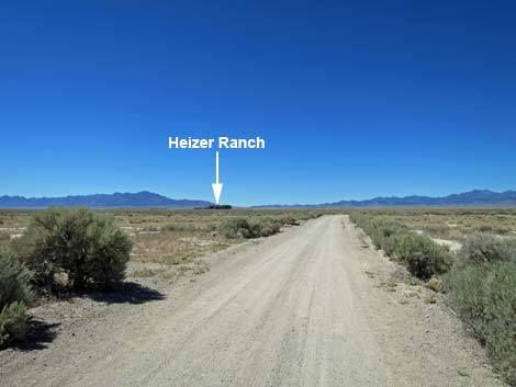
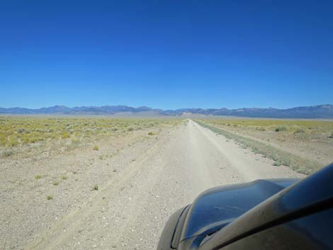
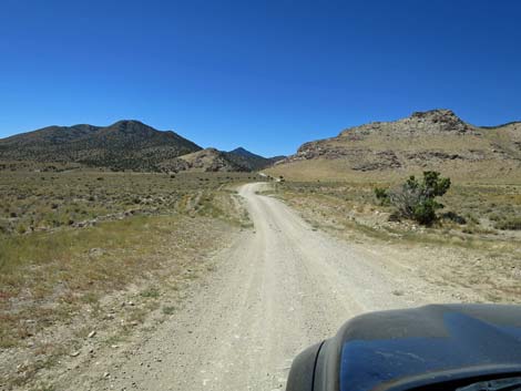
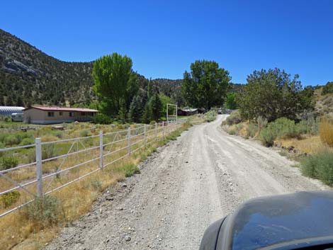
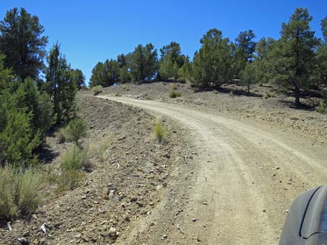
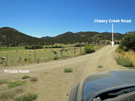
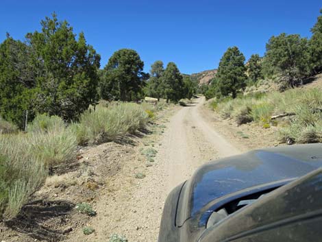
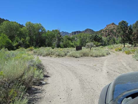
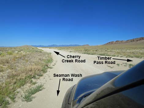 Cherry Creek Road starts at intersection (view NW) |
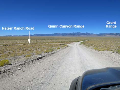
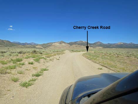
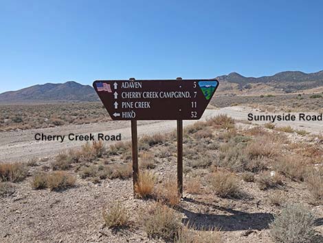
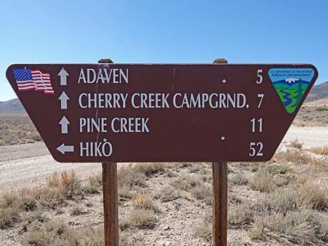
Getting to the Road Cherry Creek Road is located in the west-central part of Basin and Range National Monument, about 3 hours (150 miles) northeast of Las Vegas driving directly, or about 1-1/2 hours (50 miles) north of the intersection of Highway 93 and Highway 318. From Las Vegas, drive north on Interstate-15 21 miles to Highway 93. Turn left onto Great Basin Highway (Hwy 93) and drive north past the towns of Alamo (95 miles from Las Vegas) and Ash Springs (102 miles) to the intersection of Highways 93 and 318 (107 miles). Gasoline is available in Alamo, Ash Springs, Rachel, and Lund. Turn left onto Highway 318 and drive west then north on Highway 318 for 17.4 miles to Seaman Wash Road on the left. Turn onto Seaman Wash Road and drive northwest 26.5 miles to a fork in the road (stay "straight" at all forks and side roads to this point). At the fork, stay right and cross to the other side of the valley where the road forks again (broad, triangular intersection). Stay left onto Cherry Creek Road. Timber Mountain Pass Road goes in the other direction. |
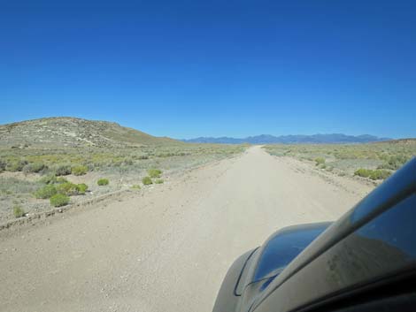
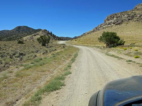
 Cherry Creek Road (view W) |
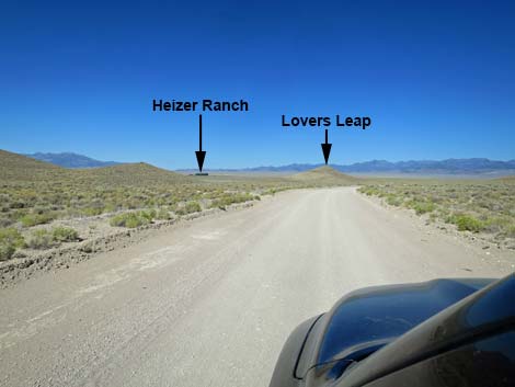
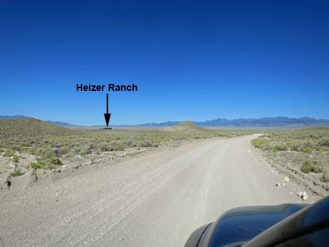
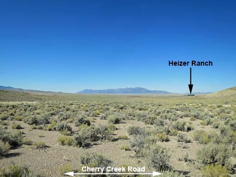
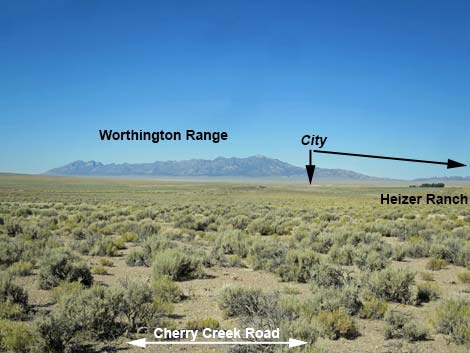
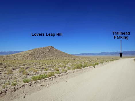
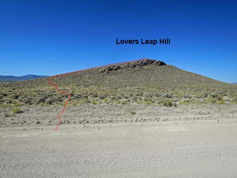
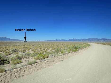
The Road From the three-way intersection with Seaman Wash Road and Timber Mountain Pass Road (Table 1, Site 1560), Cherry Creek Road runs west heading out of Water Gap and into Garden Valley. The road passes three low hills in the left. Between the first and second, the Heizer Ranch can be seen in the distance -- watch for a stand of tall cottonwood trees. To the left and right of the trees, the upper-most portions of Michael Heizer's City, a land art sculpture, can be seen spreading across the landscape. The third hill, Lovers Leap (Site 1561), provides an overlook from which hikers (0.2 miles) can look across some 1.7 miles of Great Basin desert and see City in the distance. Be sure to bring binoculars. |
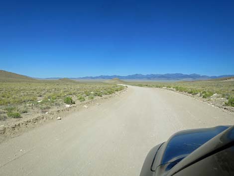
 Cherry Creek Road (view W) |
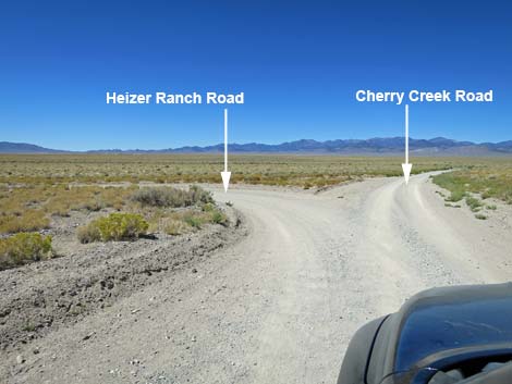
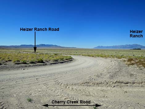
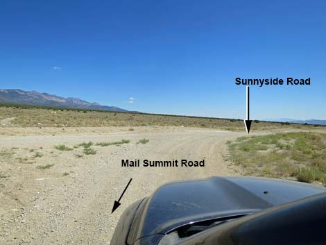
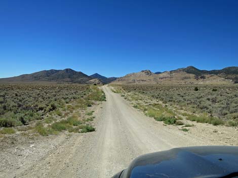
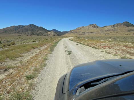
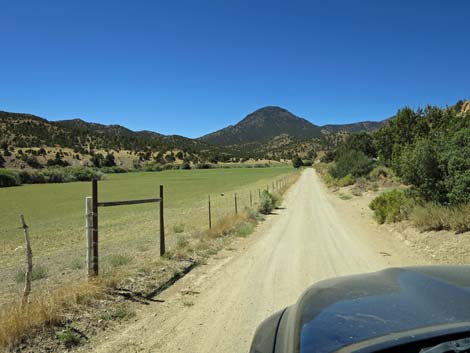
Beyond the last hill, Cherry Creek Road descends a gentle grade to a road intersection (Site 1562; 2.2 miles out). Here, Heizer Ranch Road turns left and runs 0.6 miles to a gate: the closest that the public can get to City. The gate is more than a mile from City, but apparently within rifle range from the ranch buildings. Continuing, Cherry Creek Road curves right to run north along the base of the Golden Gate Range. At about 3.0 miles out, the road crosses a cattle guard, then curves left and away from the mountains. The road now runs more-or-less straight northwest towards Cherry Canyon in the Quinn Canyon Range. There are a few minor side roads, but at 9.4 miles out, Cherry Creek Road passes the northern terminus of Mail Summit Road on the left (Site 1594), which can be followed back to the pavement just north of Hiko. Watch for a highway sign with distances that might be lying down in the dirt. |
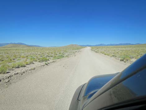
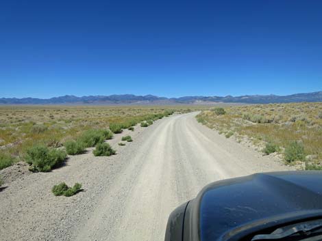
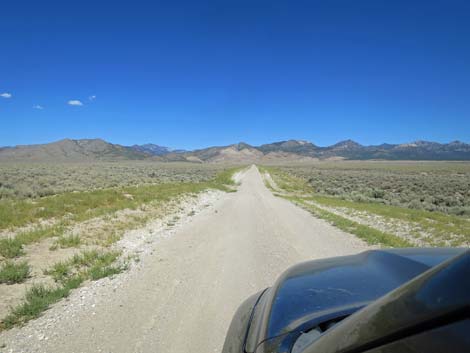
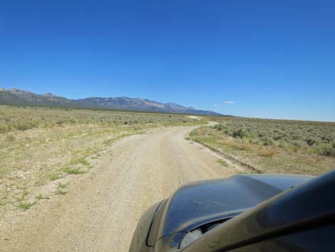
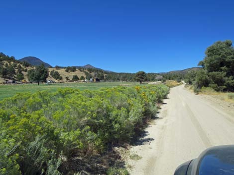
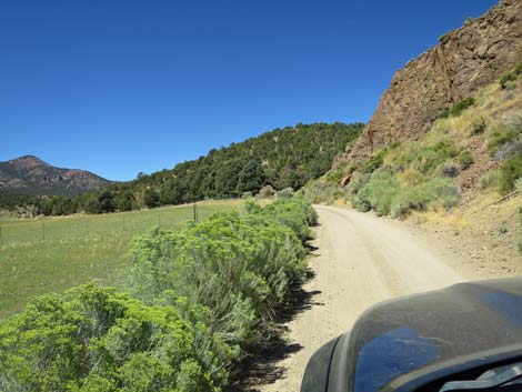
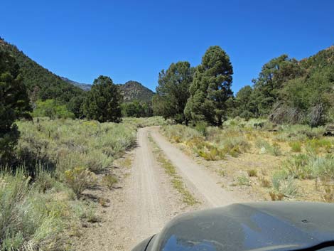
 Cherry Creek Road with first look into Garden Valley (view W) |
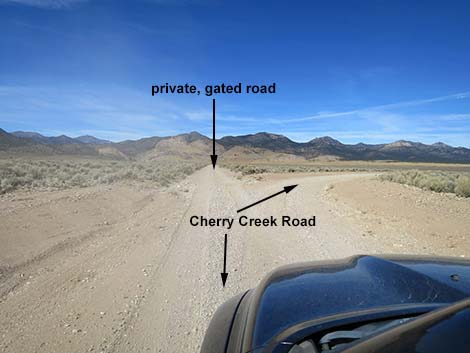
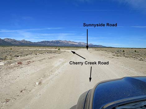
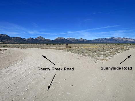
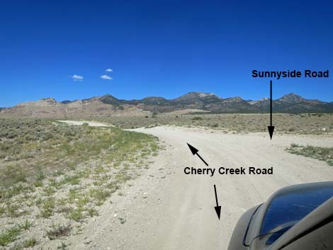
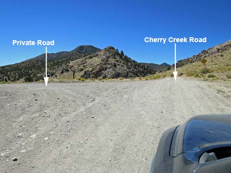
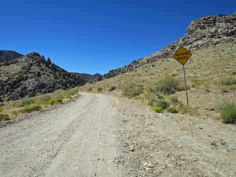
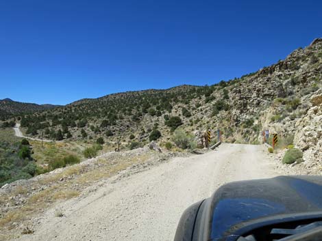
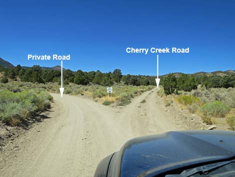
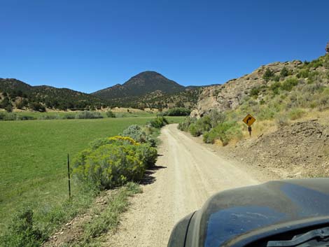
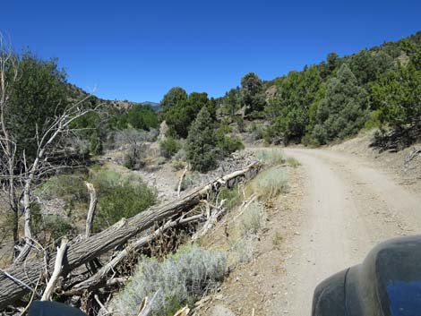
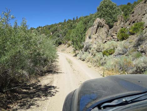
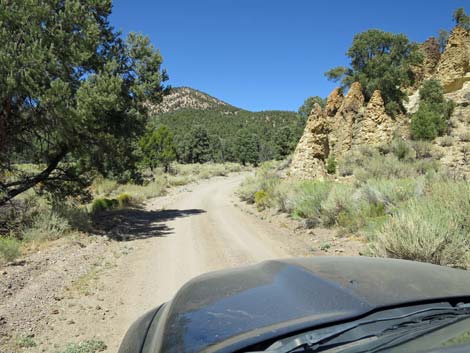
Shortly, Cherry Creek Road forks (9.8 miles out). Here, the obvious direction, straight, is not the way to go: that road is gated ahead. Instead, Cherry Creek Road bends right to run due north for about 1.4 miles. At 11.2 miles out, Cherry Creek Road bends to the left at a triangular T-intersection (Site 1596) with Sunnyside Road. Sunnyside Road, to the right, runs northeast and eventually reaches Highway 318. Now going southwest, Cherry Creek Road runs straight towards Cherry Canyon. Just before entering the mountains, a side road forks to the left (12.7 miles out). This is the other end of the gated road bypassed earlier (gated on this end too). Continuing straight, Cherry Creek Road winds up into the canyon traversing high, steep hillsides and crossing a one-lane bridge (12.9 miles out) that spans a rockslide area. Use caution here, and know that if you meet another vehicle, you might need to back down the road. |
 Cherry Creek Road with first look at Heizer Ranch (view W) |
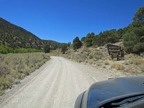
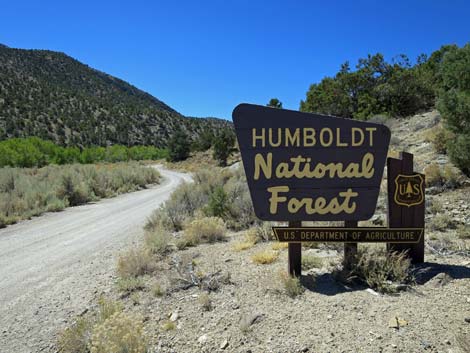
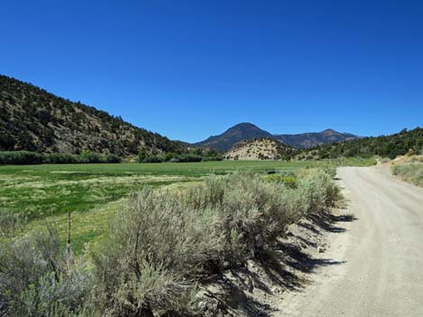
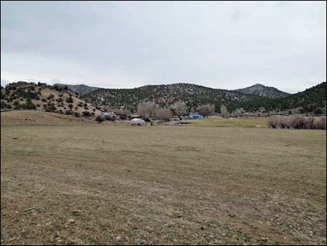
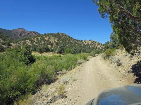
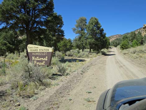
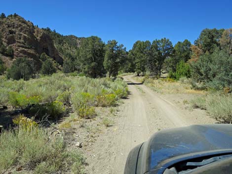
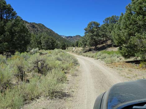
Past the narrow bridge, the road runs down into the bottom of Cherry Canyon and runs up Cherry Creek Valley. At about 13.2 miles out, the road exits Basin and Range and enters the Humboldt National Forest (Site 1597), a land of many uses, which is marked with a sign. The valley bottom is ranching territory, with pasture lands, summer homes, ranch houses, and even some old mines. The road winds along the north edge of the valley bottom until it forks. The road to the left leads to a private ranch, and a sign directs "Thru Traffic" to stay right. Cherry Creek Road stays right, then bend left and climbs steeply over a ridge only to drop back into the valley bottom on the other side of the ranch property. The road continues up the canyon running between the fenced sheep pasture and the steep mountain hillside. At about 16.6 miles out, the road passes the historical townsite of Adaven (Site 1598), a town remembered not for what is there (currently 2-3 modern buildings), but for the fact the name is "Nevada" spelled backwards. The ranch was homesteaded by Thomas Sharp in the 1870s, and the property remains in the Sharp family. |
 Cherry Creek Road with view towards Heizer Ranch (view NW) |
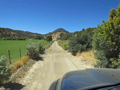
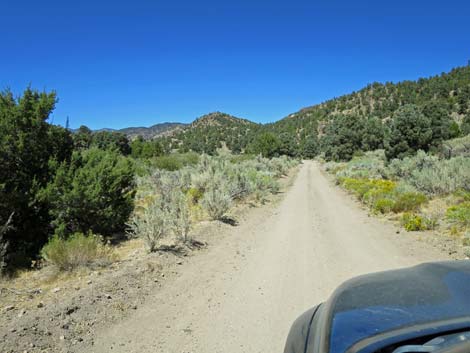
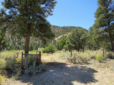
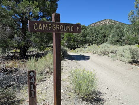
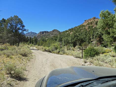
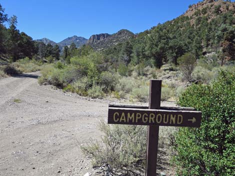
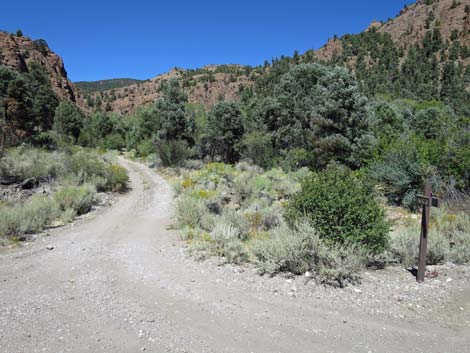
Past Adaven, the road narrows considerably for some distance, but by about 1.5 miles past Adaven, Cherry Creek Road reaches Cherry Creek Guard Station, a small U.S. Forest Service ranger station outpost. This likely was used to stash fire fighting gear in the old days, but all that remains is a picnic area (two tables and a fire ring) and an old outhouse that doesn't look safe to enter. In another 0.2 miles, a side road to the left leads up Sawmill Canyon to a small (2 campsites) campground with cliffs, trees, and a small stream. Cherry Creek Road continues, and during summer, visitors can cross the Quinn Canyon Range and drive over to Railroad Valley. |
 Heizer Ranch (view SW from edge of Cherry Creek Road) |
 Heizer Ranch and City (zoom view SW from Cherry Creek Road) |
 Approaching Lovers Leap trailhead parking (view W) |
 Lovers Leap trailhead parking along Cherry Creek Road (view SW) |
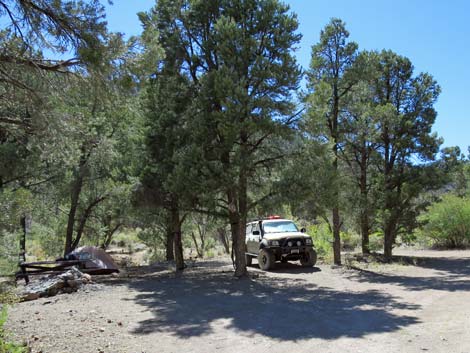
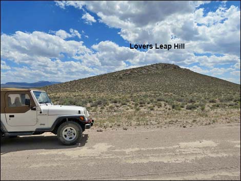 Vehicle at Lovers Leap trailhead (view S) |
 Past Lovers Leap Hill, Heizer Ranch and City come back into view |
 Continuing on Cherry Creek Road (view SW) |
 Cherry Creek Road crests a low hill (view SW) |
 Cresting low hill, Heizer Ranch Road comes into view (view NW) |
 Cherry Creek Road approaching Heizer Ranch Road (view NW) |
 Cherry Creek Road at Heizer Ranch Road (view S) |
 Heizer ranch ahead in the distance (view W) Heizer ranch ahead in the distance (view W) |
 Past Heizer Ranch Road, Cherry Creek Road curves right (view NW) |
 Cherry Creek Road continues to curve right (view NW) |
 Cherry Creek Road continues to curve right (view NW) |
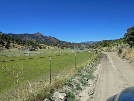
 Cherry Creek Road runs along base of Golden Gate Range (view N) |
 Cherry Creek Road runs along base of Golden Gate Range (view N) |
 Cherry Creek Road approaching a cattle guard (view N) |
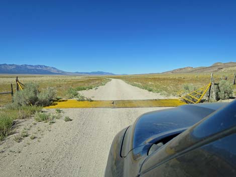 Cherry Creek Road at cattle guard (view N up Garden Valley) |
 Cherry Creek Road runs along base of Golden Gate Range (view N) |
 Past cattle guard, Cherry Creek Road curves left (view NW) |
 Cherry Creek Road curves left (view NW) |
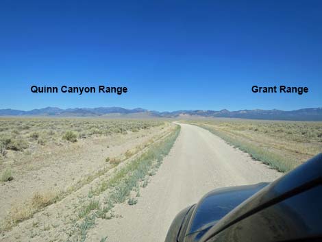
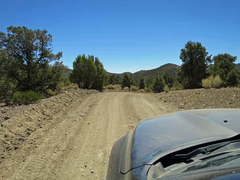
 Road crosses a wash and starts across Garden Valley (view NW) |
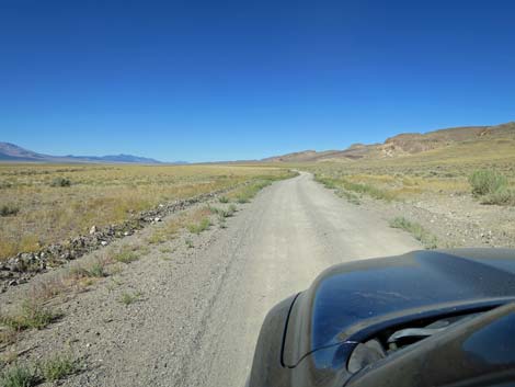
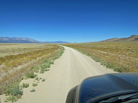
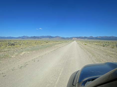
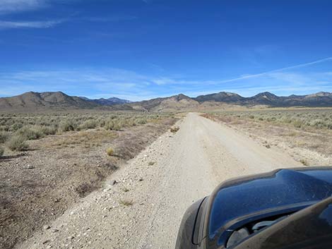
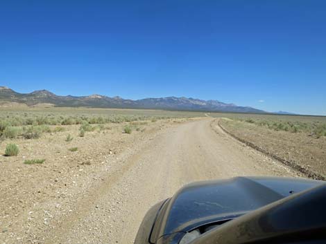
 Cherry Creek Road runs across Garden Valley (view NW) |
 In Garden Valley, vast views to mountain ranges (view NW) |
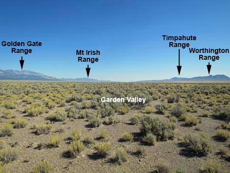 In Garden Valley, vast views to mountain ranges (view S) |
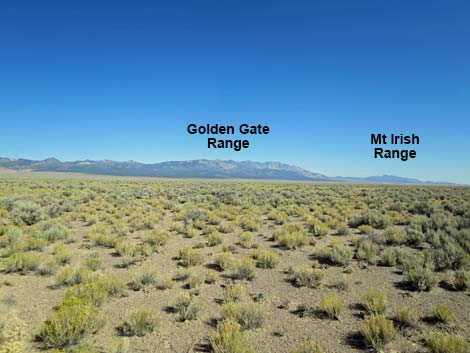 In Garden Valley, vast views to mountain ranges (view SE) |
 In Garden Valley, vast views to mountain ranges (view SW) |
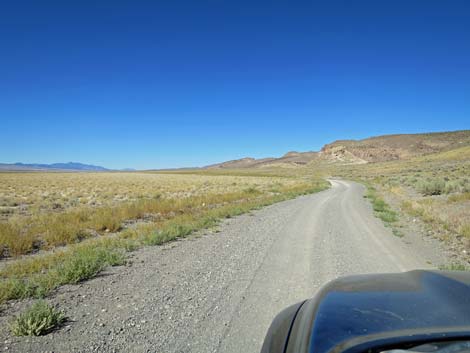
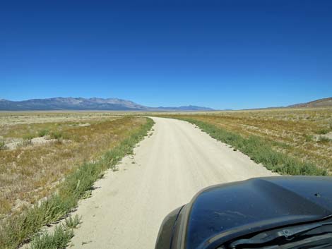
 Cherry Creek Road continues across Garden Valley (view NW) |
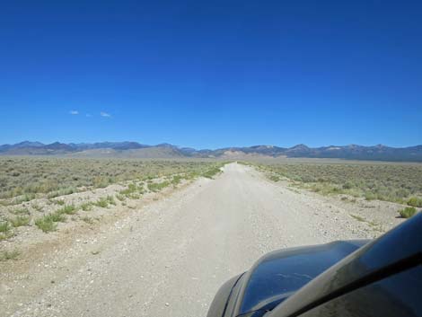 Cherry Creek Road runs straight and smooth (view NW) |
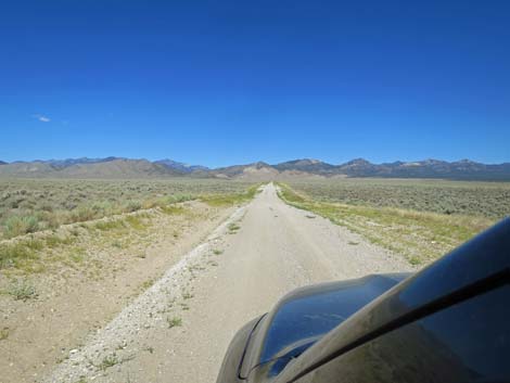 Cherry Creek Road dips to cross a few washes (view NW) |
 Cherry Creek Road dips to cross a few washes (view NW) |
 Cherry Creek Road approaching Mail Summit Road (view NW) |
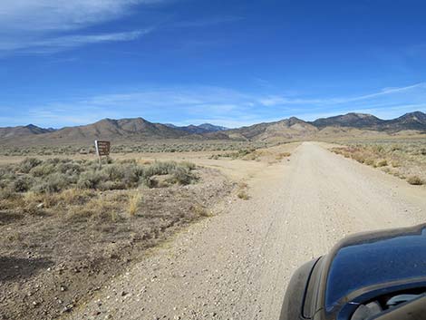 Cherry Creek Road approaching Mail Summit Road (view NW) |
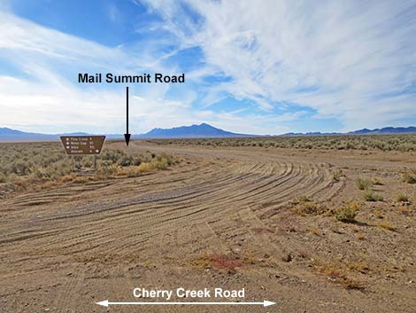 Mail Summit Road (view S from Cherry Creek Road) |
 Directional sign (view S) |
 More to come ... |
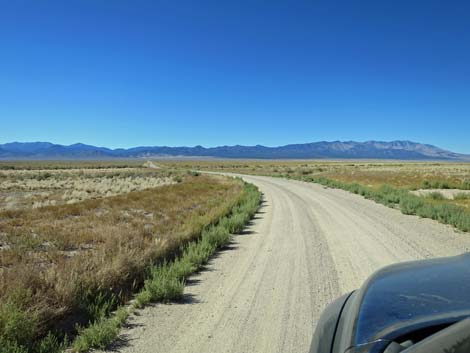
 Cherry Creek Road approaching a curve right (view NW) |
 Cherry Creek Road curves right away from private road (view NW) |
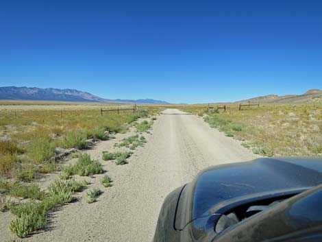
 Cherry Creek Road continues through Garden Valley (view N) |
 Cherry Creek Road runs across undulating terrain (view N) |
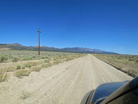 Cherry Creek Road passes under Cherry Creek powerlines (view N) |
 Cherry Creek Road (view N) |
 Cherry Creek Road winds across undulating terrain (view N) |
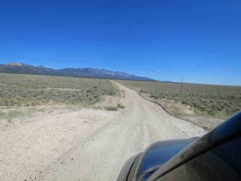
 Cherry Creek Road approaching Sunnyside Road (view N) |
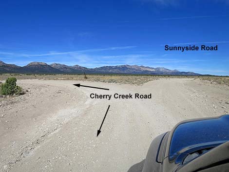 Cherry Creek Road at Sunnyside Road intersection (view N) |
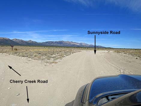 Cherry Creek Road turning right onto Sunnyside Road (view N) |
 Cherry Creek Road turning away from Sunnyside Road (view N) |
 Directional sign (view SW) |
 Directional sign (view SW) |
 Staying left on Cherry Creek Road (view NW) |
 Alternatively, stay right onto Sunnyside Road (view N) |
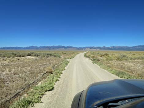
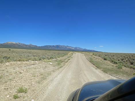
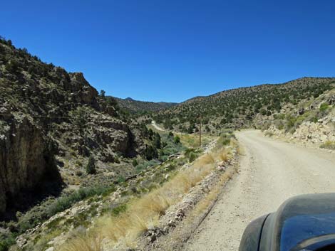
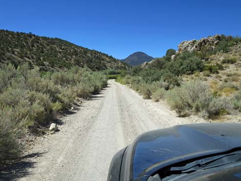
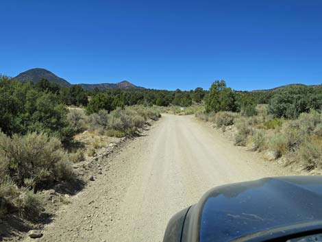
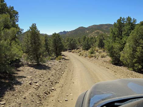
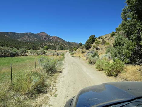
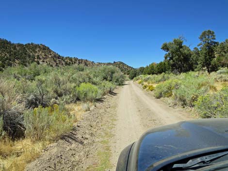
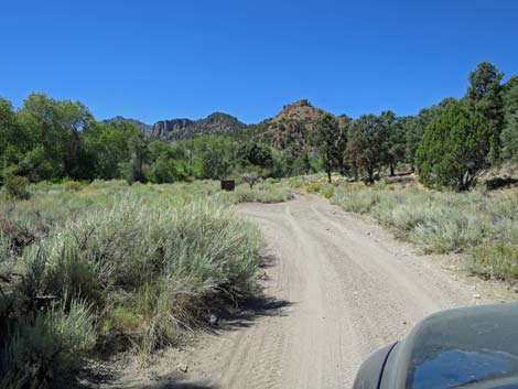
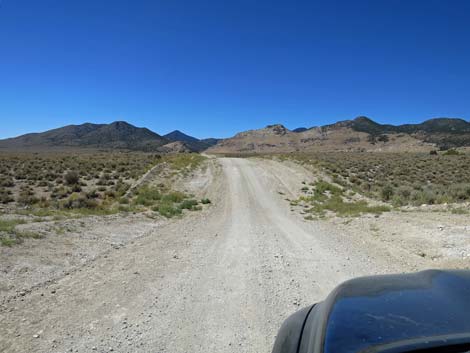 Cherry Creek Road runs towards Quinn Canyon Range (view W) |
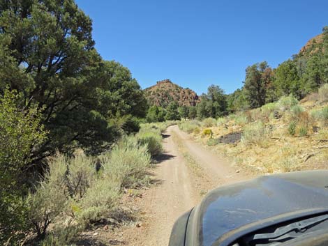
 Cherry Creek Road (view W) |
 Cherry Creek Road (view W) |
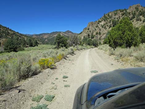
 Cherry Creek Road runs across several shallow washes (view W) |
 Cherry Creek Road, approaching the mountains (view W) |
 Cherry Creek Road forks; stay straight (view W) |
 Cherry Creek Road approaching caution sign (view W) |
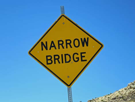 Sign: Narrow Bridge -- it's not kidding (view W) |
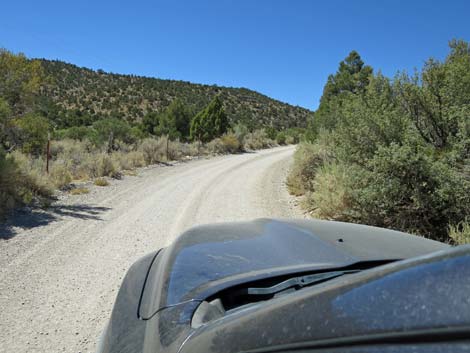
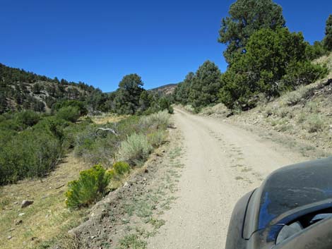
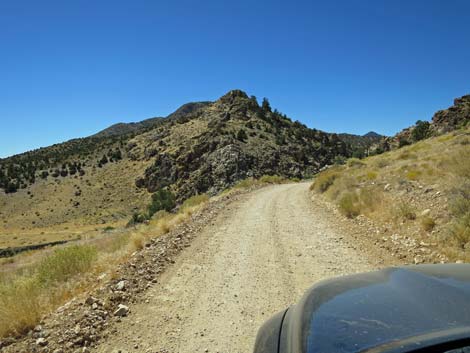 Cherry Creek Road climbs into the mountains (view W) |
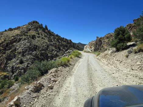 The road becomes narrow (view W) |
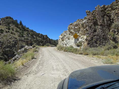 Cherry Creek Road approaching another caution sign (view SW) |
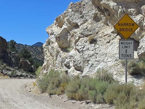 Another caution sign: Narrow Bridge and 8-ton limit (view SW) |
 Steep drop-off (view W) |
 Cherry Creek Road approaching the narrow bridge (view W) |
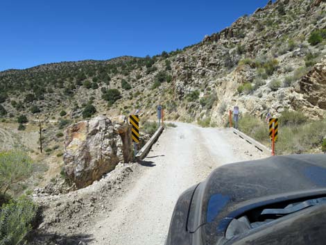 Cherry Creek Road at one-lane bridge (view W) |
 Edge of the narrow bridge -- it's a long way down! |
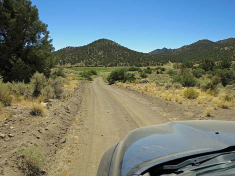
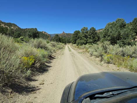
 Cherry Creek Road returning to the bottom of the valley (view W) |
 Cherry Creek Road continues in valley bottom (view W) |
 Cherry Creek Road approaching USFS boundary (view W) |
 Cherry Creek Road at USFS boundary (view W) |
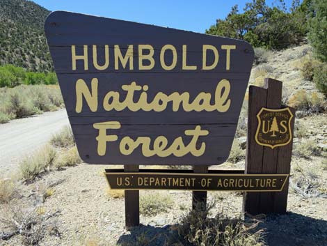 USFS boundary sign; also Basin and Range boundary (view W) |
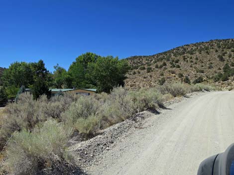 First home along Cherry Creek Road (view W) |
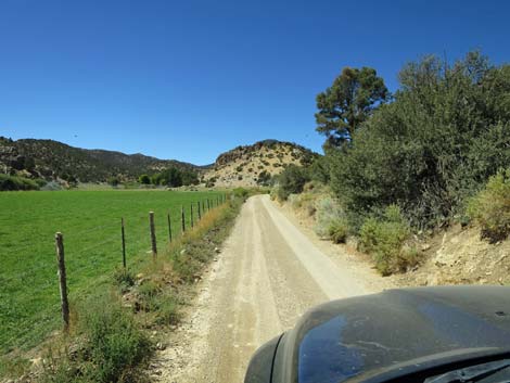
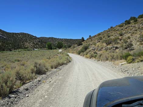 Cherry Creek Road continues on the edge of the valley (view W) |
 Cherry Creek Road at private property (view W) |
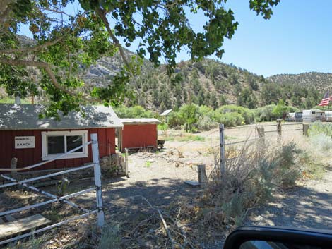 Passing the Wadsworth Ranch house (view SW) |
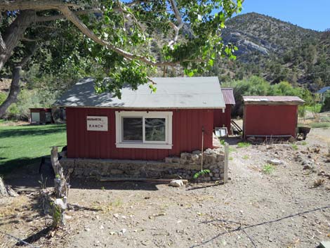 Wadsworth Ranch, one of the old families in the canyon (view S) |
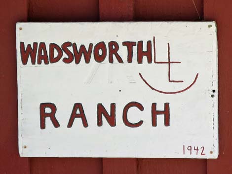 Wadsworth Ranch brand (view S) |
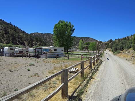 Approaching a trailer camp (view W) |
 Use caution at curves on narrow road (view W) |
 Some parts of Cherry Creek Road run straight (view W) |
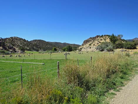
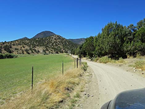
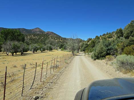
 Cherry Creek Road at sheep pasture (view W) |
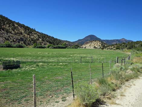 Sheep pasture (view W) |
 Approaching an irrigation puddle in the road |
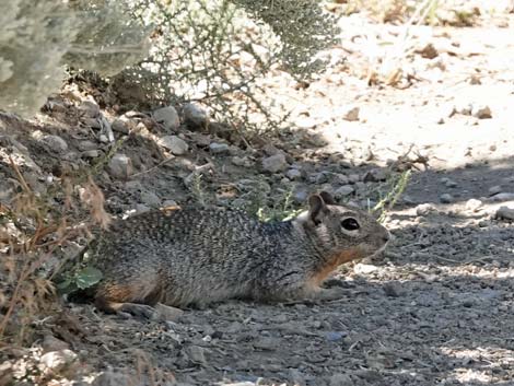 Rock Squirrel in the shade by the puddle |
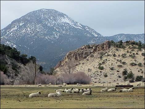 Sheep in the pasture during winter (view W) |
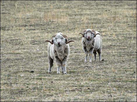 Two of many rams in the pasture during winter |
 Cherry Creek Road runs at edge of sheep pasture (view W) |
 Cherry Creek Road at sheep pasture (view W) |
 Cherry Creek Road runs over a low hill (view W) |
 Cherry Creek Road returns to edge of sheep pasture (view W) |
 Cherry Creek Road approaching fork in the road with sign (view W) |
 Cherry Creek Road at fork in the road with sign (view W) |
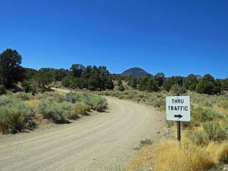 Private Road: "Thru Traffic" stays right (view W) |
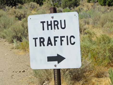 "Thru Traffic" stays right (view W) |
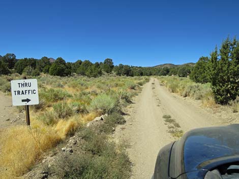 Staying right on Cherry Creek Road past the sign (view NW) |
 Cherry Creek Road turns away from the sheep pastures (view NW) |
 Cherry Creek Road bends left to climb a steep hill (view W) |
 Cherry Creek Road climbs a steep hill (view SW) |
 Cherry Creek Road cresting the steep hill (view S) |
 Descending the other side of the steep hill (view W) |
 Cherry Creek Road returning to the sheep pasture (view W) |
 Cherry Creek Road stays right; left is private road (view SW) |
 Looking back at Uhalde ranch house during winter (view SE) |
 Cherry Creek Road continues along the sheep pasture (view W) |
 Cherry Creek Road approaching a blind curve (view W) |
 Cherry Creek Road at a blind curve with no shoulder (view W) |
 Cherry Creek Road continues along the sheep pasture (view W) |
 Cherry Creek Road continues along the sheep pasture (view W) |
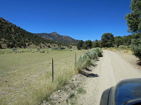 Sheep in a pasture (view W) |
 Ranchers irrigating the sheep pasture (view W) |
 Cherry Creek Road continues along the sheep pasture (view W) |
 Approaching Adaven townsite (view NW) |
 Adaven townsite, on the left (view NW) |
 Beyond Adaven, the road narrows (view NW) |
 Cherry Creek Road runs tight and narrow (view W) |
 Cherry Creek Road tilts a bit to the left here (view W) |
 Cherry Creek Road returns to a normal width (view W) |
 Lots of sagebrush in the valley bottom (view W) |
 Nice views up the canyon (view NW) |
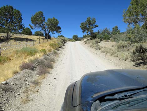
 Cherry Creek Road runs smooth and easy (view NW) |
 Cherry Creek Road runs smooth and easy (view NW) |
 Cherry Creek Road runs smooth and easy (view NW) |
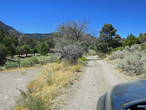
 Approaching Cherry Creek Guard Station (view NW) |
 Two picnic tables at Cherry Creek Guard Station (view NW) |
 Cherry Creek Road turns yet another blind corner (view NW) |
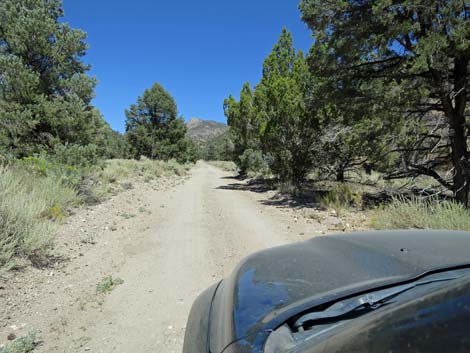 Cherry Creek Road runs smooth and easy (view NW) |
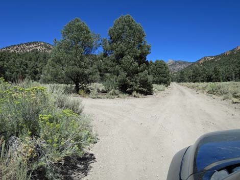 Cherry Creek Road at Sawmill Canyon Road (view NW) |
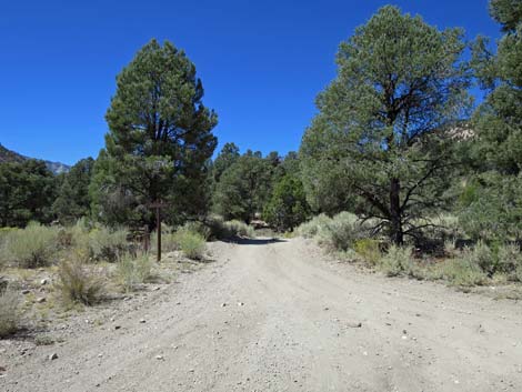 Sawmill Canyon Road (view NW) |
 Signs on Sawmill Canyon Rd (view SW from Cherry Creek Rd) |
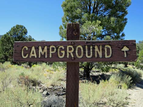 Campground sign on Sawmill Canyon Road (view SW) |
 Sawmill Canyon Road is not heavily used (view SW) |
 Sawmill Canyon Road mostly runs smooth and easy (view SW) |
 Sawmill Canyon Road crossing a meadow (view SW) |
 Sawmill Canyon Road winding under the trees (view SW) |
 Sawmill Canyon Road mostly runs smooth and easy (view SW) |
 Sawmill Canyon Road mostly runs smooth and easy (view SW) |
 Sawmill Canyon Road approaching a fork (view SW) |
 Sawmill Canyon Road stays left (view SW) |
 Sawmill Canyon Road at campground entrance road (view SW) |
 Campground entrance sign (view SW from Sawmill Canyon Road) |
 Campground entrance road (view S from Sawmill Canyon Road) |
 One of two campsites (view S) |
Table 1. Highway Coordinates and Distances based on GPS Data (NAD27). Download highway GPS waypoints (gpx) file.
| Wpt. | Location | Latitude (N) | Longitude (W) | Elevation (ft) | Point-to-Point Distance (mi) | Cumulative Distance (mi) | Verified |
|---|---|---|---|---|---|---|---|
| 1560 | Seaman Rd at Cherry Creek Rd | 38.04227 | 115.37550 | 5,069 | 0.00 | 0.00 | Yes |
| 1561 | Cherry Creek Rd at Lovers Leap Trailhead | 38.04454 | 115.40638 | 5,174 | 1.70 | 1.60 | Yes |
| 1562 | Cherry Creek Rd at Heizer Ranch Rd | 38.04701 | 115.41557 | 5,155 | 0.50 | 2.20 | Yes |
| 1594 | Cherry Creek Rd at Mail Summit Rd | 38.11024 | 115.50888 | 5,596 | 7.20 | 9.40 | Yes |
| 1596 | Cherry Creek Rd at Garden Valley N Road | 38.13377 | 115.51419 | 5,795 | 1.80 | 11.20 | Yes |
| 1597 | Cherry Creek Rd at USFS Boundary | 38.12130 | 115.54781 | 5,868 | 2.00 | 13.20 | Yes |
| 1598 | Cherry Creek Rd at Adaven Townsite | 38.12902 | 115.59578 | 6,335 | 3.40 | 16.60 | Yes |
Happy Hiking! All distances, elevations, and other facts are approximate.
![]() ; Last updated 241127
; Last updated 241127
| Basin and Range | Backroads | Hiking Around Las Vegas | Glossary | Copyright, Conditions, Disclaimer | Home |