
Rock Art Around Las Vegas

Historic sites are a precious resource. Please help protect and preserve these sites.
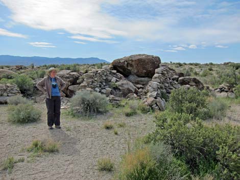 Main habitation area in 2011 Main habitation area in 2011 |
Overview While not a prehistoric site, the Crystal Wash Shepherd Camp is an interesting historic camp area so close to the Crystal Wash Archeological Sites that people interested in history would be remiss to skip it. The BLM asked me to remind visitors that this is a fragile and irreplaceable part of the history of Lincoln County and Nevada. People are more than welcome to visit, but be sure to help take care of the area for future generations. The camp area is set among desert-varnished boulders where it appears that shepherds (perhaps cowboys?) set up a long-term seasonal campsite. The campsite is in an area protected from winds on three sides by boulders and a low ridge, and they built low walls across the front and back ends that would have kept sheep (cows?) out of the living area. Link to Site Map. |
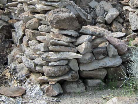 Details of rock wall in 2011 |
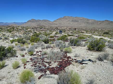
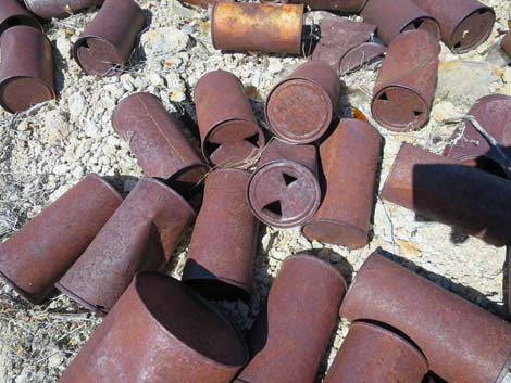
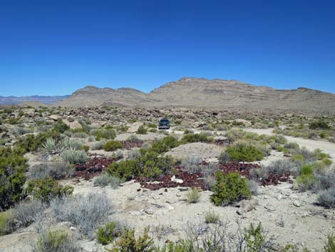
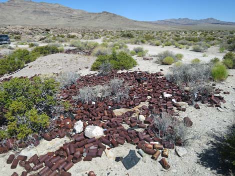
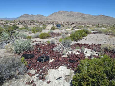
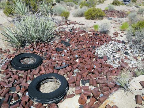
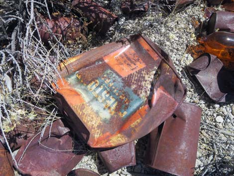
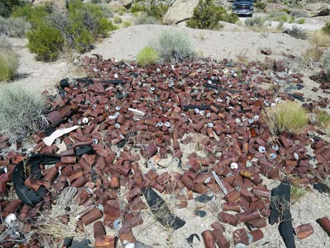
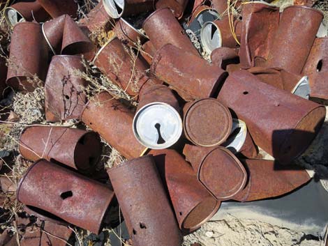
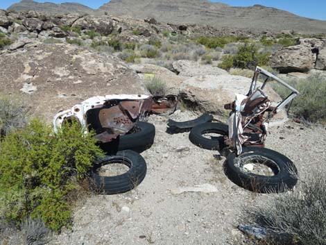
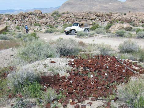
In the living area, they built rock walls that likely defined living quarters or a kitchen. I would imagine that they covered the top with a tarp, as was done elsewhere. Outside the living area, residents dumped huge piles of cans, bottles, and other trash. There are a few pieces of newer trash, but most are old. The steel-and-aluminum pull-tab cans on the top of the piles date from the early 1960s, suggesting the site was abandoned at that time. This is not a legally protected historic site, but it is an interesting site. Please visit the site respectfully and with the understanding that it holds clues to the history of Nevada. Please don't add new trash, please pick up new trash, but please leave the old trash in place. |
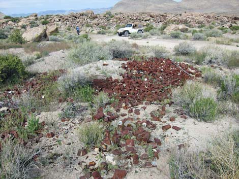 If left by native people, we would call this a midden |
Location Crystal Wash Main rock art site is located beyond the Pahranagat Valley about 110 miles north of Las Vegas on Highway 93. From town, drive north on Interstate 15 to US Highway 93 (Table 1, Site 0674). Exit onto Highway 93 and drive north past Alamo and Ash Springs to the intersection of Highways 93 and 318 (Site 0677). Continue on Highway 93 for 4.06 miles to a large dirt parking area on the left (north) side of the road (Site 1099). In the back of the dirt parking area, a cattle guard (Site 1100) permits access through the fence to Crystal Wash Main Road. Stay left way from the fence and proceed 100 yards to a T-intersection (Site 1101). Continue straight another 100 yards to Shepherd camp (Site 1103), on the left. On entering the area, visitors first pass the extensive can dump and then arrive at the Shepherd Camp parking area, which is a bit like a U-shaped driveway. |
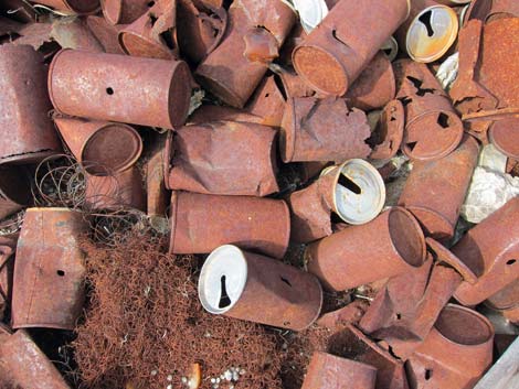 Old cans and other items |
Hours The area is always open, but it probably should be considered day-use only. There are no established camping spots at Shepherd Camp, but there is a large, traditional campsite a bit farther down the road. Fees None. Note: In this area, gasoline is available only in Alamo and Ash Springs. |
Can Dump
 |
 |
 |
 |
 |
 |
 |
 |
 |
 |
 |
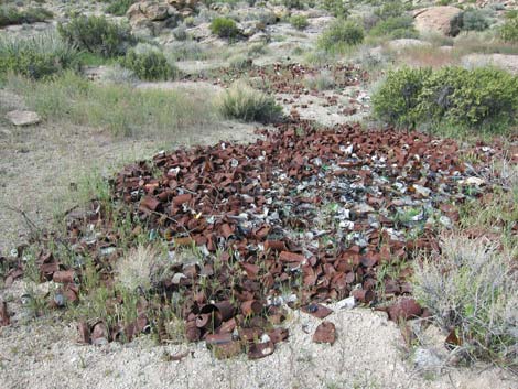 |
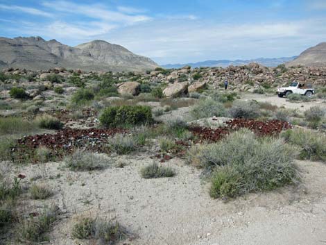 Can dump (view SW) |
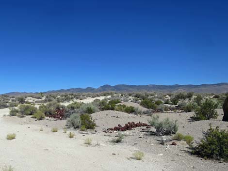 Can dump along road (view E) |
Stone Walls at Campsite
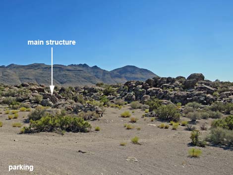 |
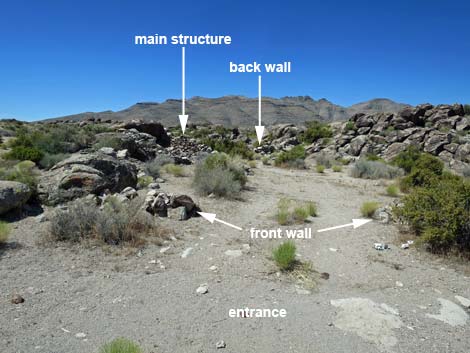 |
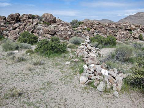 Front wall, right side, 2011 (view W) |
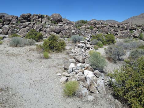 Front wall, right side, 2020; little difference (view W) |
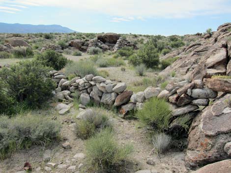 Front wall, right side, right end, 2011 (view S) |
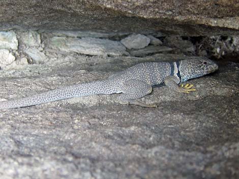 Watch for Great Basin Collared Lizards and other current residents |
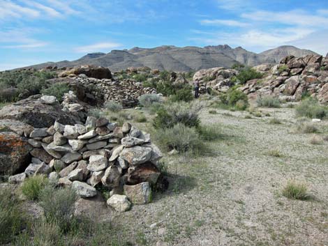 Front wall, left side, 2011 (view S) |
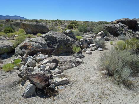 Front wall, left side, 2020 (view S) |
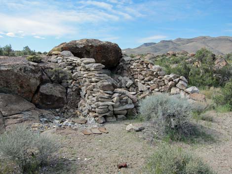 Main structure, 2011 (view S) |
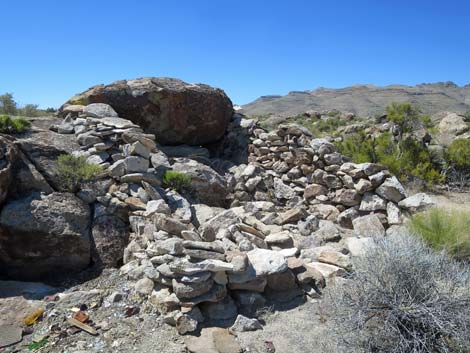 Main structure, 2020 (note damage to wall; view S) |
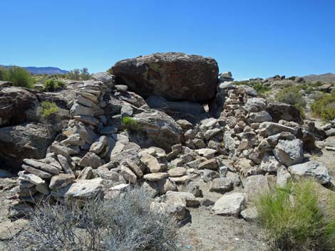 Main structure in 2020 (view SW) |
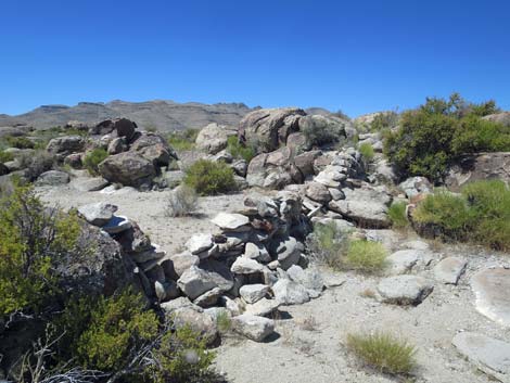 Back wall in 2020 (view S) |
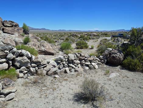 Back wall in 2020 |
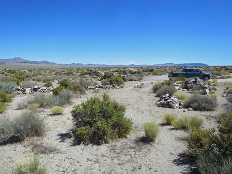 Returning towards front wall and trailhead in 2020 (view N) |
Table 1. Highway Coordinates based on GPS data (NAD27; UTM Zone 11S). Download Highway GPS Waypoints (*.gpx) file.
| Site # | Location | UTM Easting | UTM Northing | Latitude (N) | Longitude (W) | Elevation (ft) | Verified |
|---|---|---|---|---|---|---|---|
| 0674 | I-15 at Hwy 93 | 689188 | 4028063 | 36.38091 | 114.89089 | 2,232 | Yes |
| 0677 | Hwy 93 at Hwy 318 | 657363 | 4154834 | 37.52891 | 115.21911 | 3,831 | Yes |
| 1099 | Crystal Wash Main Turnoff | 662810 | 4157094 | 37.54832 | 115.15699 | 4,225 | GPS |
| 1100 | Crystal Wash Main Gate | 662794 | 4157154 | 37.54887 | 115.15715 | 4,211 | GPS |
| 1101 | Crystal Wash Main Fork | 662720 | 4157198 | 37.54928 | 115.15798 | 4,204 | GPS |
| 1102 | Crystal Wash Main Parking | 662487 | 4158033 | 37.55684 | 115.16044 | 4,138 | GPS |
| 1103 | Shepherd Camp Parking | 662645 | 4157239 | 37.54965 | 115.15882 | 4,198 | GPS |
Happy Hiking! All distances, elevations, and other facts are approximate.
![]() ; Last updated 240323
; Last updated 240323
| Rock Art | Glossary | Copyright, Conditions, Disclaimer | Home |