
Grapevine Canyon Site and Hummingbird Falls Trail

Rock art is a precious resource. Please help protect and preserve these sites.
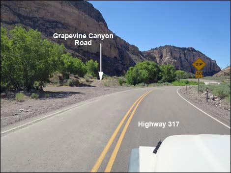 Highway 317 at Grapevine Canyon Road (view S) |
Overview Rainbow Canyon Archeological Site #2, which includes the Grapevine Canyon Site and Hummingbird Falls Trail, is a volcanic area of desert canyons and cliffs along Meadow Valley Wash where water flows all year, and towering cliffs and tall trees provide lots of shade. Water and habitation sites brought ancient peoples to this area starting about 10,000 years ago. Several cultures have come and gone, including nomadic hunter-gathers, ancient farmers, and modern campers. Visiting the two sites is a 1/4-mile round-trip hike. The BLM and Lincoln County opened this area to the public, and Lincoln County printed a brochure with information about the site (including GPS coordinates) as part of their Get Primitive tourism campaign. Download the brochure from Lincoln County or snatch a copy here. |
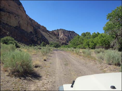 Grapevine Canyon Road; last place to park a large vehicle (view S) |
Getting to the Trailhead The Rainbow Canyon Archeological Sites are located south of Caliente (Lincoln County) about 150 miles (2-1/2 hours) north of Las Vegas on Highway 93. From town, drive north on Interstate 15 to US Highway 93. Exit onto Highway 93 and drive north past Alamo and Ash Springs to the intersection of Highway 93 and Highway 318. Continue on Highway 93 for about 128 miles to Caliente. On the west edge of Caliente, turn right onto Highway 317 and drive south for 14.8 miles to Grapevine Canyon Road, on the left. Just after passing under a railroad bridge, Grapevine Canyon Road forks left. Follow the narrow Grapevine Canyon Road down canyon (parallel to the highway) until it bends left into Grapevine Canyon and ends at a campsite with a tight turn-around (0.5 miles out). Park here, this is the trailhead. Visitors in larger vehicles would do well to walk from near the pavement. |
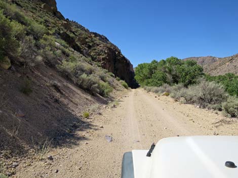 Grapevine Canyon Road becomes narrow (view S) |
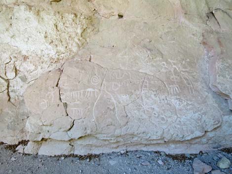
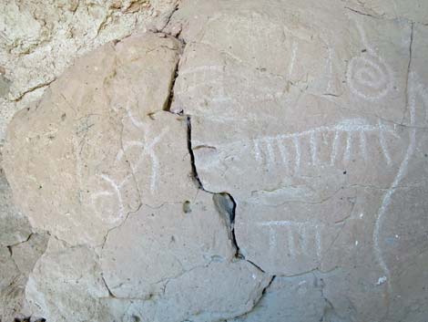
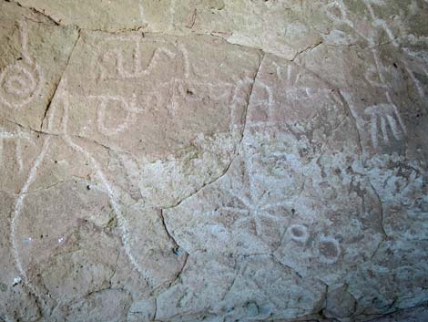
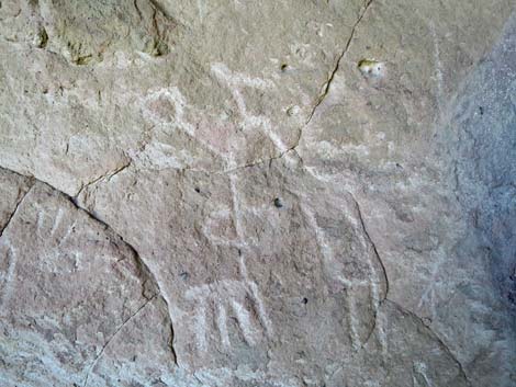
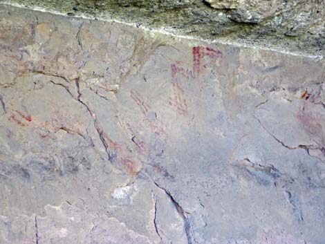
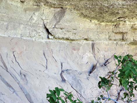
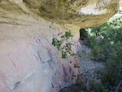
The Hike From the trailhead at the end of Grapevine Canyon Road (Table 1, Waypoint Site#2-01), the route (no established trail) runs back down the road about 200 feet (no parking here) to a use-trail (Wpt. Site#2-02) that leads up the dirt hillside towards the cliffs above. The route runs up the hillside about 20 yards to the base of the cliffs, which is under an overhang and hidden by trees. From this place left, the rock wall is full of petroglyph and pictographs (Wpt. Site#2-03). When ready, wander back down the hillside more directly to the dirt road (Wpt. Site#2-04). There are, apparently, more petroglyphs on the other side of the canyon. As an added treat, return to the trailhead (Wpt. Site#2-01) and hike up the canyon. Passing through a man-gate just beyond the camp area, a use-trail leads east about 0.1 miles to Hummingbird Spring, a small waterfall with lots of lush vegetation all around. It is easy to understand why ancient people lived here. |
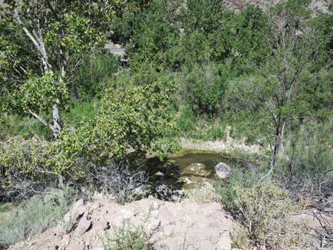 Narrow road and a long way to the creek (view down, W) |
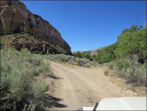 Grapevine Canyon Road stays left (view S) |
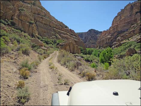 Grapevine Canyon Road heading into Grapevine Canyon (view SE) |
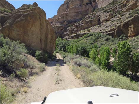 Grapevine Canyon Road narrowly passes a boulder (view SE) |
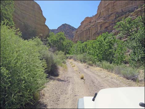 Grapevine Canyon Road gets easier (view SE) |
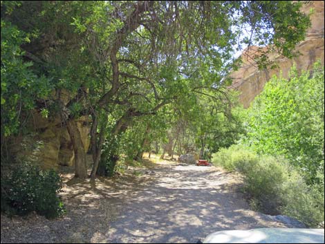 Arriving at the end of Grapevine Canyon Road (view SE) |
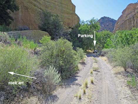 Approaching the end of Grapevine Canyon Road (view SE) |
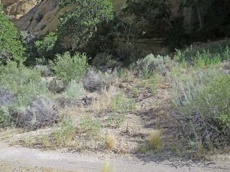 Up to the petroglyphs (view N) |
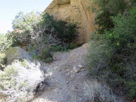 Routes on the hillside (view N) |
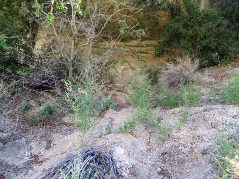 Routes on the hillside (view N) |
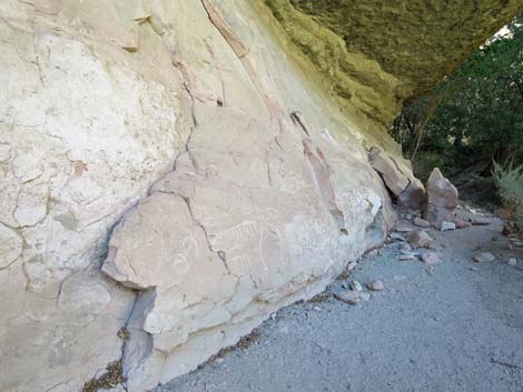
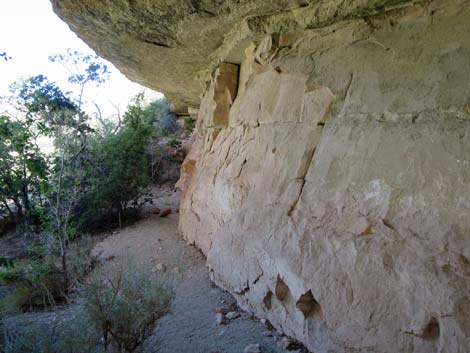 Petroglyphs stretch along this wall (view NW) |
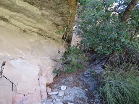 Petroglyph wall; nothing in that direction (view SE) |
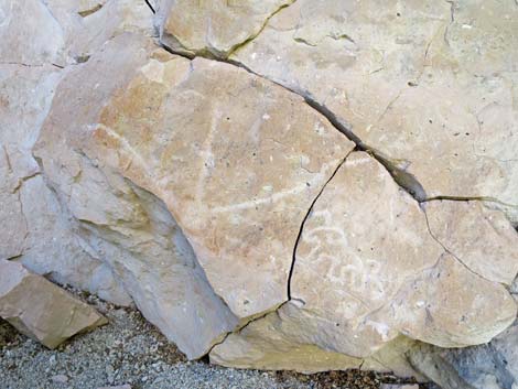 Petroglyphs |
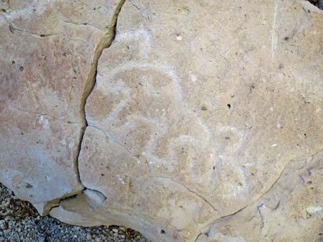 Petroglyphs |
 |
 |
 |
 |
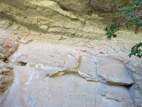
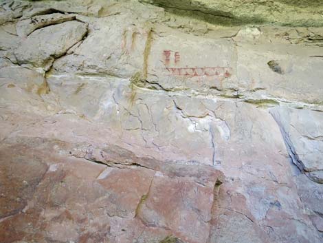
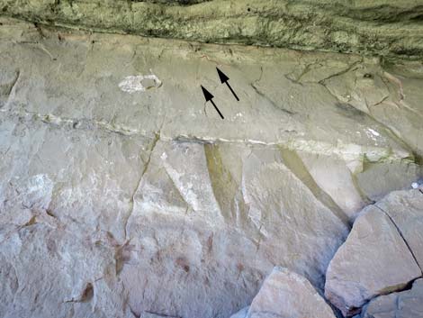 Pictographs high on the wall |
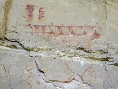
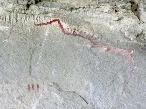 Pictographs high on the wall (close up) |
 |
 |
 |
 |
 |
 |
 |
 |
 |
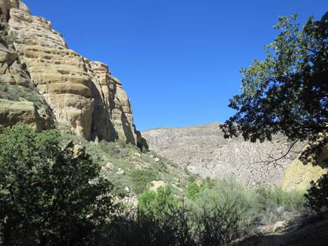 |
Hummingbird Falls Trail
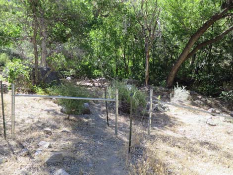 Man-gate on use-trail to Hummingbird Spring (view SE) |
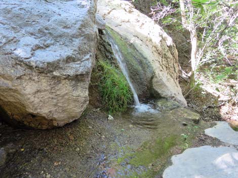 Waterfall at Hummingbird Spring (view S) |
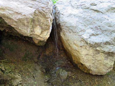 Waterfall at Hummingbird Spring (view SE) |
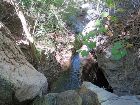 Stream below Hummingbird Spring (view W) |
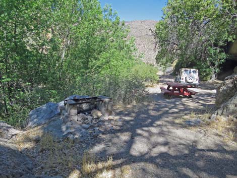 Returning through campsite to the trailhead (view NW) |
 More to come ... |
Exiting Grapevine Canyon Road
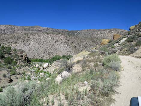 Squeezing past the boulder (view NW) |
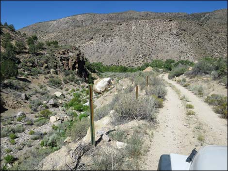 The fence makes the road-edge feel more secure (view NW) |
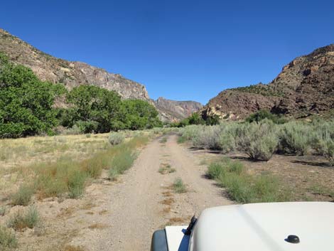 Returning to the valley bottom (view N) |
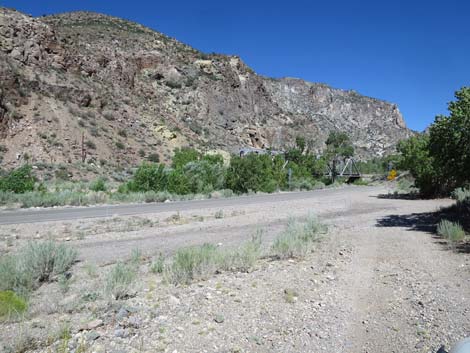 Returning to the pavement (view N) |
Table 2. Hiking Coordinates and Distances based on GPS Data (NAD27; UTM Zone 11S). Download Hiking GPS Waypoints (gpx) file.
| Wpt. | Location | UTM Easting | UTM Northing | Elevation (ft) | Point-to-Point Distance (mi) | Cumulative Distance (mi) |
|---|---|---|---|---|---|---|
| Site#2-01 | Grapevine Canyon Trailhead | 716263.98 | 4144258.23 | 3811 | 0.00 | 0.00 |
| Site#2-02 | Grapevine Canyon Trail Leaves Road | 716207.85 | 4144288.27 | 3806 | 0.04 | 0.04 |
| Site#2-03 | Grapevine Canyon Petroglyphs | 716193.83 | 4144327.83 | 3819 | 0.02 | 0.06 |
| Site#2-04 | Grapevine Canyon Trail-End | 716178.16 | 4144304.91 | 3818 | 0.03 | 0.09 |
| Site#2-01 | Grapevine Canyon Trailhead | 716263.98 | 4144258.23 | 3811 | 0.06 | 0.15 |
| . | . | . | . | . | . | . |
| Site#2-01 | Grapevine Canyon Trailhead | 716263.98 | 4144258.23 | 3811 | 0.00 | 0.00 |
| Site#2-05 | Hummingbird Spring | 716366.88 | 4144240.02 | 3828 | 0.03 | 0.08 |
| Site#2-01 | Grapevine Canyon Trailhead | 716263.98 | 4144258.23 | 3811 | 0.06 | 0.16 |
Happy Hiking! All distances, elevations, and other facts are approximate.
![]() ; Last updated 240323
; Last updated 240323
| Rock Art | Glossary | Copyright, Conditions, Disclaimer | Home |