
Birding Around Las Vegas, Ash Meadows National Wildlife Refuge

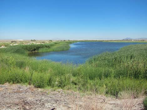 Peterson Reservoir (view N from atop dam) |
Description Peterson Reservoir is a remarkably clear reservoir held behind a low earthen dam along the western and southern sides. The reservoir is surrounded by cattails and bulrushes, which obstruct much of the view of the water, but you can walk the dam and watch birds on the water and in the marshland below the dam. The reservoir is not huge, but a spotting scope would be useful for identifying smaller waterfowl and shorebirds on the far side. |
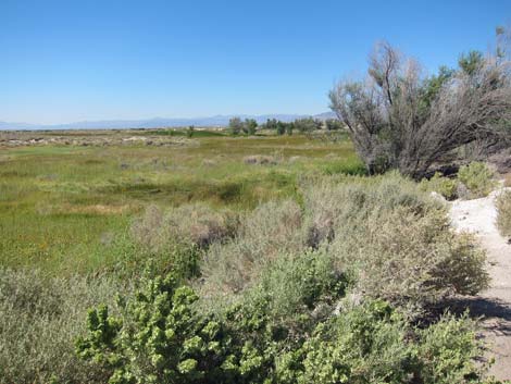 Marsh below the dike and dam (view W) |
Location Peterson Reservoir is located on the Ash Meadows National Wildlife, about 2 hours northwest of Las Vegas and about 2.1 air-miles northwest of the Visitor Center. From Las Vegas, drive out to Ash Meadows Visitor Center (Table 1, Site 1588). From the Visitor Center, drive west on Spring Meadows Road for about 1.1 miles to a signed T-intersection (Site 0702) with Peterson Reservoir Road. Turn right and drive north on Peterson Reservoir Road for about 1.5 miles to another T-intersection (Site 0698). Turn left and drive west Peterson Reservoir Access Road for about 0.2 miles to the parking area at the end of the road (Site 0589). Walk past the gate and out the old road, which runs up onto the dam. |
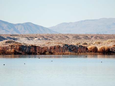 Peterson Reservoir during winter |
Hours The refuge is day-use only: open sunrise to sunset. Fees None. |
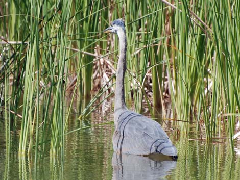 Great Blue Heron feeding among cattails |
Specialties Peterson Reservoir is good for waterfowl, wading birds, gulls, shorebirds, swallows, and the incidental desert species that come in for water. This is good place for a spotting scope to identify for smaller species of waterfowl and shorebirds on the far side of the reservoir. Peterson Reservoir is also good for finding migrant and desert passerine species, but the species mix depends on the season, and during migration it depends on who is moving through at the time. Review the refuge bird list for ideas on what to expect during the time of year when you will be visiting. |
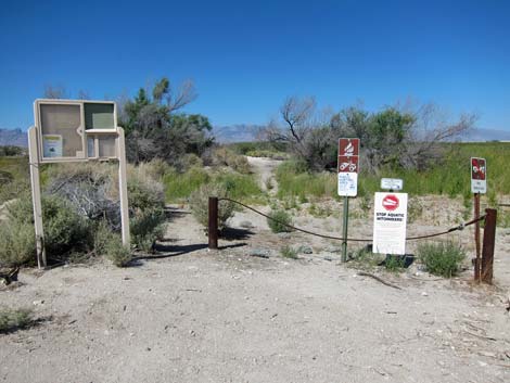 Trailhead (view W) |
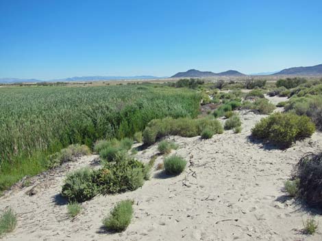 Top of dam and cattail marsh (view E) |
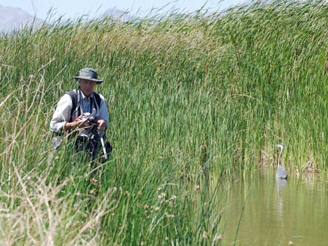 Getting close-up bird photos |
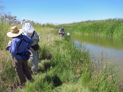 Surveying dragonflies with USFWS permits |
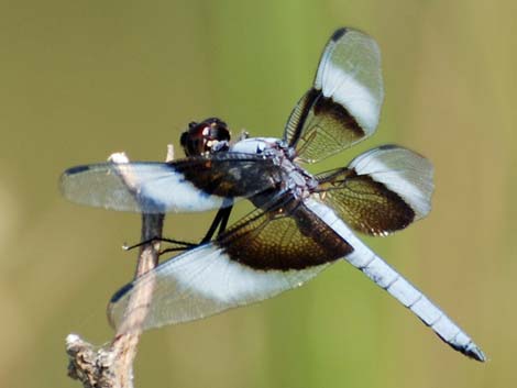 Widow Skimmer (Libellula luctuosa), male |
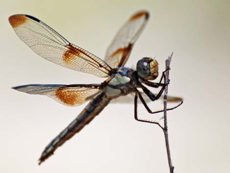 Widow Skimmer (Libellula luctuosa), female |
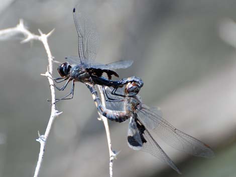 Black Saddlebag (Tramea lacerata), mating |
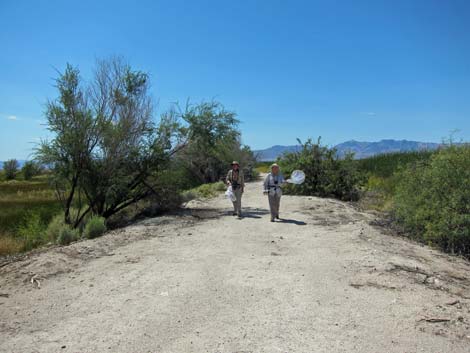 Returning on the dike-trail after dragonfly survey (view W) |
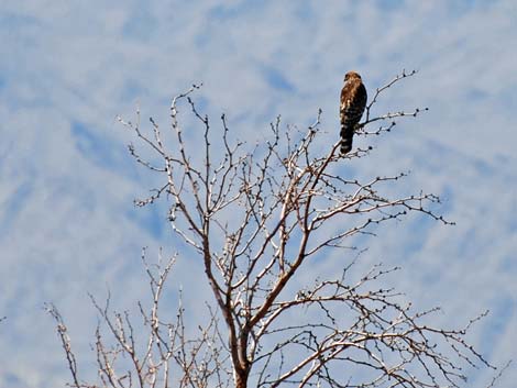 Red-shouldered Hawk above Peterson Reservoir |
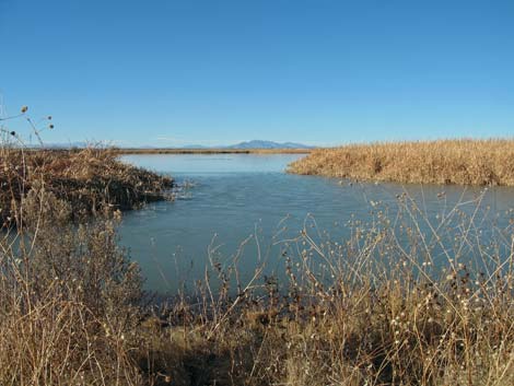 Peterson Reservoir during winter |
Table 1. GPS Coordinates for Highway Locations (NAD27; UTM Zone 11S). Download Highway GPS Waypoints (*.gpx) file.
| Site # | Location | Latitude (°N) | Longitude (°W) | UTM Easting | UTM Northing | Elevation (feet) | Verified |
|---|---|---|---|---|---|---|---|
| 589 | Peterson Reservoir | 36.4446 | 116.3516 | 558110 | 4033257 | 2,161 | Yes |
| 698 | Peterson Reservoir turnoff into lake area | 36.4468 | 116.3463 | 558588 | 4033502 | 2,161 | Yes |
| 702 | Peterson Reservoir turnoff from main road | 36.4251 | 116.3463 | 558603 | 4031095 | 2,155 | Yes |
| 1588 | Ash Meadows Visitor Center | 36.42323 | 116.32703 | 560329 | 4030901 | 2,188 | Yes |
Happy birding! All distances, elevations, and other facts are approximate.
![]() ; Last updated 240323
; Last updated 240323
| Birding Around Las Vegas | Southern Nevada Birds | Guide Service | Copyright, Conditions, Disclaimer | Home |